Cayman Islands Map
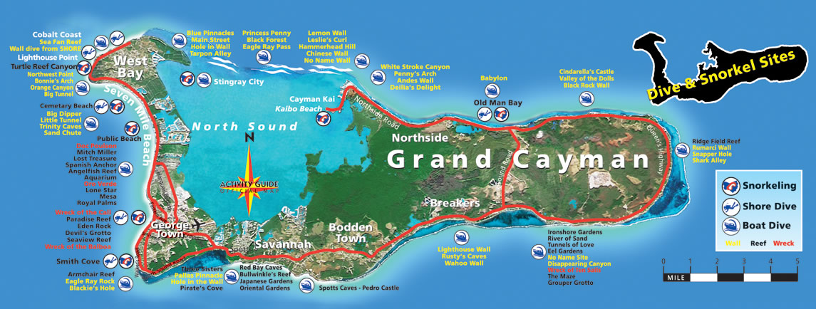
Discover the beautiful Cayman Islands with our detailed map. Find your way around and explore this Caribbean paradise. With Cayman Islands map, get directions to all the best spots for snorkeling, diving, and more.

- Capital : George Town
- Population : 54,878
- GDP : $2.25 billion
- Per Capita : $47,000
- Calling Code : +1345
- Jobless Rate : 6.30%
- Time Zone : -5
Where is located Cayman Islands on the Map
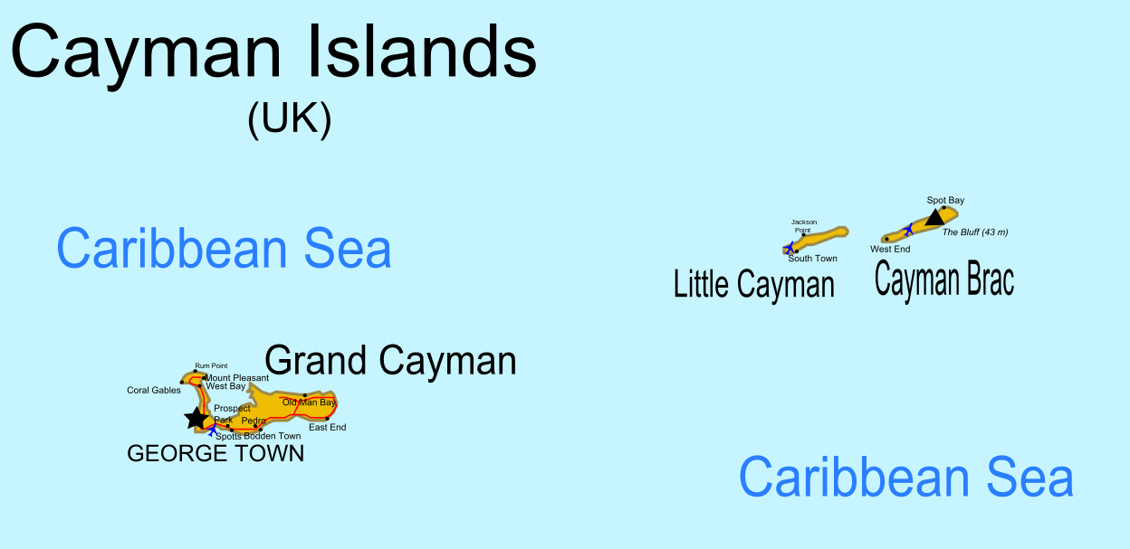
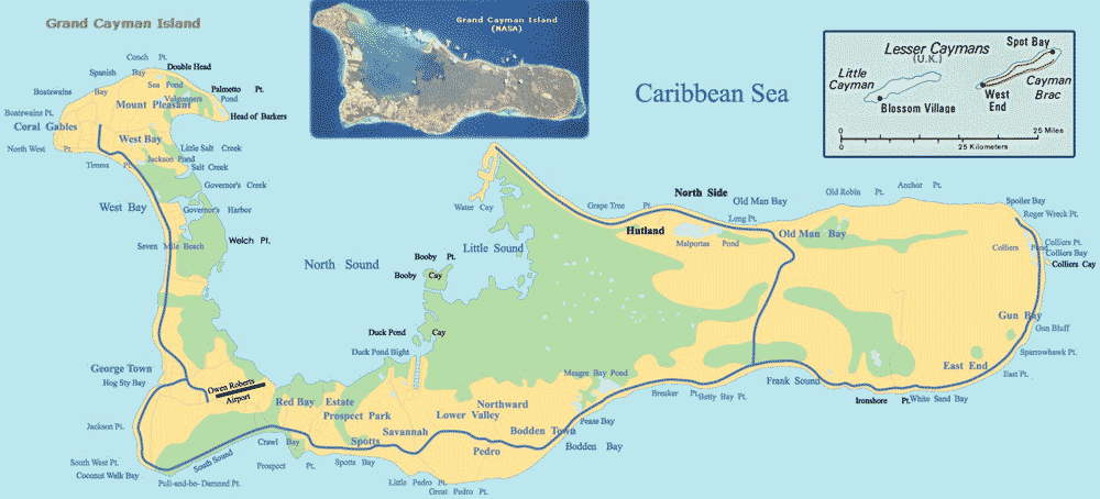
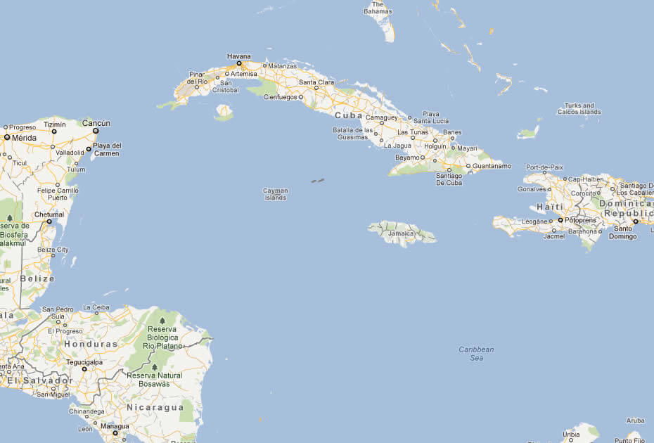
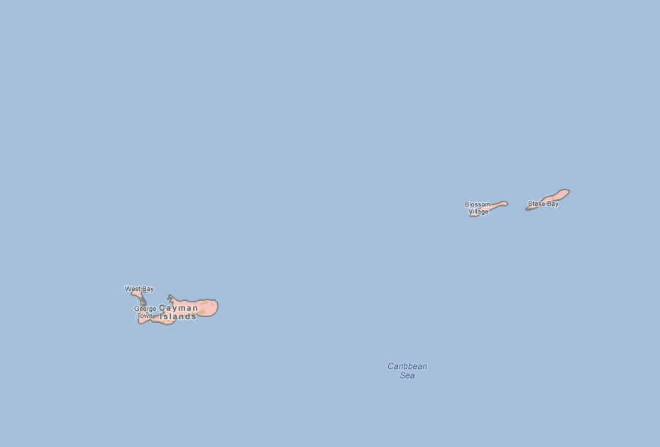
The Cayman Islands are a group of islands located in the western Caribbean Sea, south of Cuba and northwest of Jamaica. They consist of three islands: Grand Cayman, Cayman Brac, and Little Cayman.
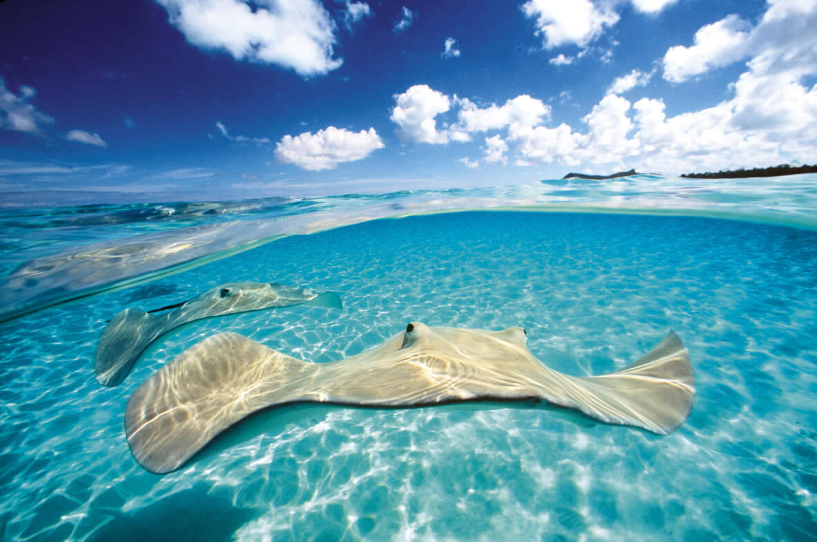
Located in the western Caribbean Sea, the Cayman Islands is an overseas territory of the United Kingdom. Comprising of three islands - Grand Cayman, Cayman Brac, and Little Cayman - this British territory is known for its beautiful beaches, clear waters, and thriving marine life. The Cayman Islands is a popular tourist destination, attracting visitors from all over the world who come to experience its rich culture, delicious cuisine, and stunning natural beauty. On this page, you will find a detailed map of the Cayman Islands, as well as information about its geography, history, and attractions.
For more about Cayman Islands >>
map of cayman islands

CAYMAN ISLANDS UK MAP
Brief information about Cayman Islands
The Cayman Islands is a British Overseas Territory located in the western Caribbean Sea. The territory consists of three islands: Grand Cayman, Cayman Brac, and Little Cayman. With a total area of approximately 264 square kilometers, the islands have a population of around 66,000 people.A Collection of Cayman Islands Maps and Cayman Islands Satellite Images
map of cayman islands
cayman islands
cayman islands airborne
cayman islands uk map
cayman islands location map

where is cayman islands in the world

caribbean sea cayman islands

Cayman Islands Map Caribbean

Cayman Islands Map

cayman islands map

cayman islands map
Cayman Islands map

cayman islands political map

map of cayman islands cuba
map of cayman islands
map cayman islands

Cayman Islands Earth Map

- Head of Performance Marketing
- Head of SEO
- Linkedin Profile: linkedin.com/in/arifcagrici
Largest Cities' Map of Cayman Islands
George Town MapCopyright WorldMap1.com 2006 - 2023. All rights reserved. Privacy Policy | Disclaimer