England Map
Navigate England Map, England countries map, satellite images of the England, England largest cities maps, political map of England, driving directions and traffic maps.

- Capital : London
- Population : 53,013,000
- GDP : $2.68 trillion
- Per Capita : $50,566
- Calling Code : +44
- Jobless Rate : N/A
- Time Zone : +0
For more about England >>
ENGLAND MAP
ENGLAND COUNTIES MAP
A Collection of England Maps and England Satellite Images
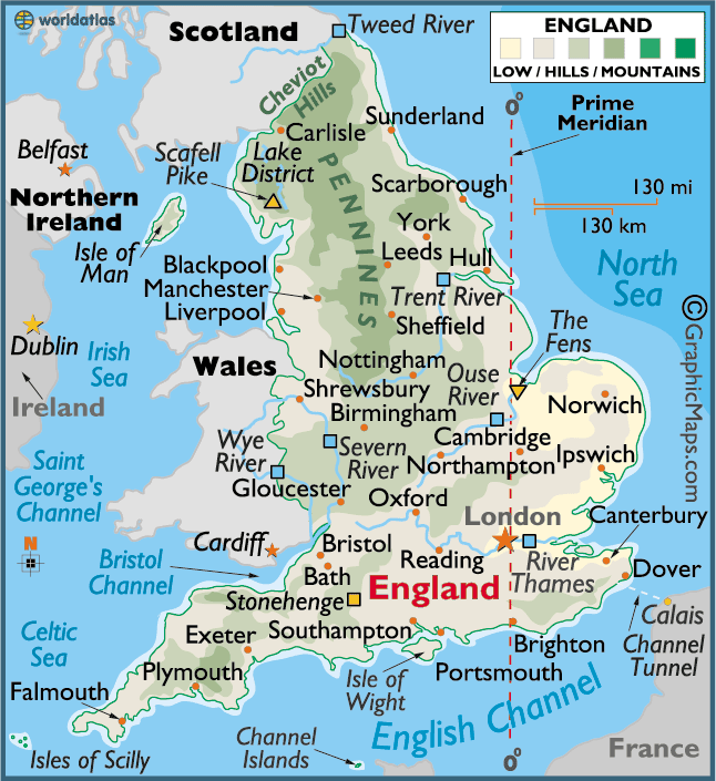
ENGLAND MAP
KESWICK ENGLAND 2009

WHERE IS ENGLAND IN THE WORLD

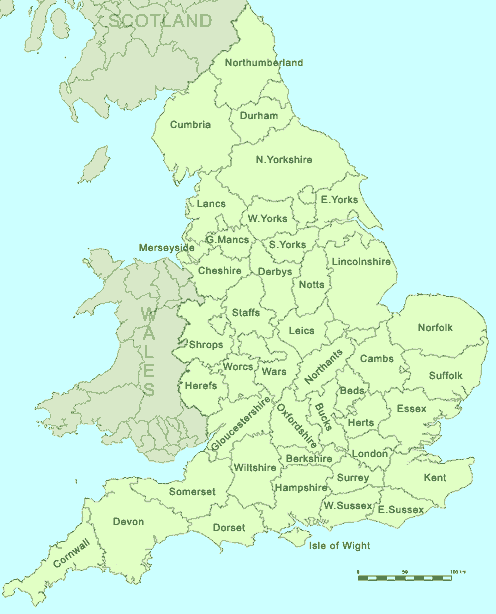
ENGLAND COUNTIES MAP
MAP OF ENGLAND
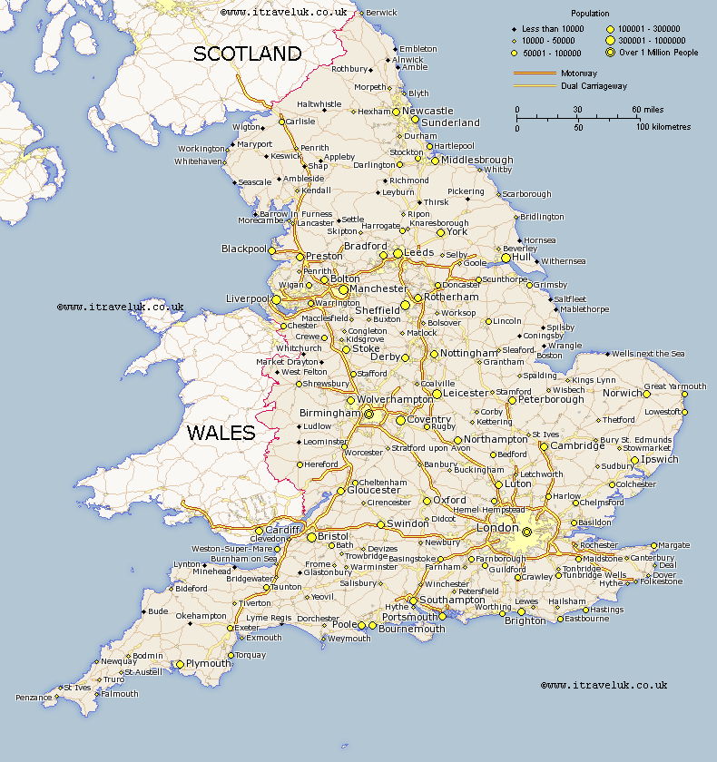
ENGLAND CITIES MAP
ENGLAND MAP
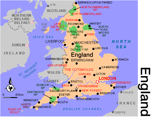
ENGLAND REGIONS MAP

ENGLAND

ENGLAND COUNTY MAP

- Head of Performance Marketing
- Head of SEO
- Linkedin Profile: linkedin.com/in/arifcagrici
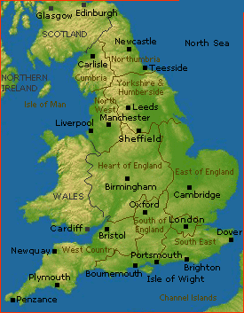
Largest Cities' Map of England
Copyright WorldMap1.com 2006 - 2023. All rights reserved. Privacy Policy | Disclaimer