Navigate map of China, China country maps, satellite images of the China, China largest city maps, political, physical map of China, driving directions and traffic maps.


China Google Map, Street Views, Maps Directions, Satellite Images

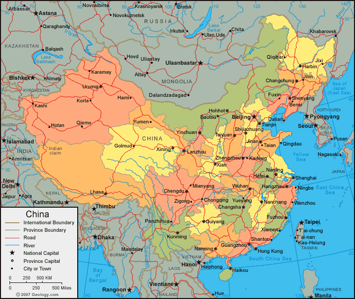
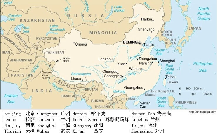
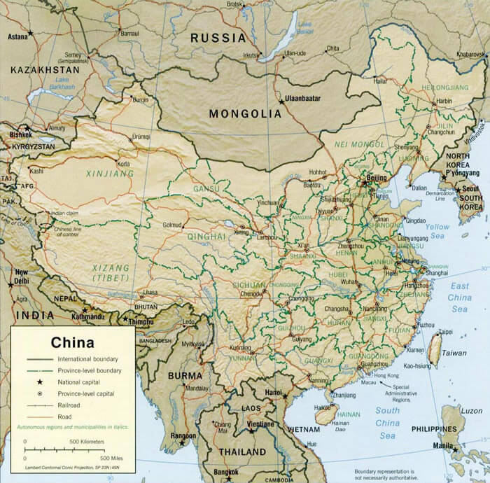
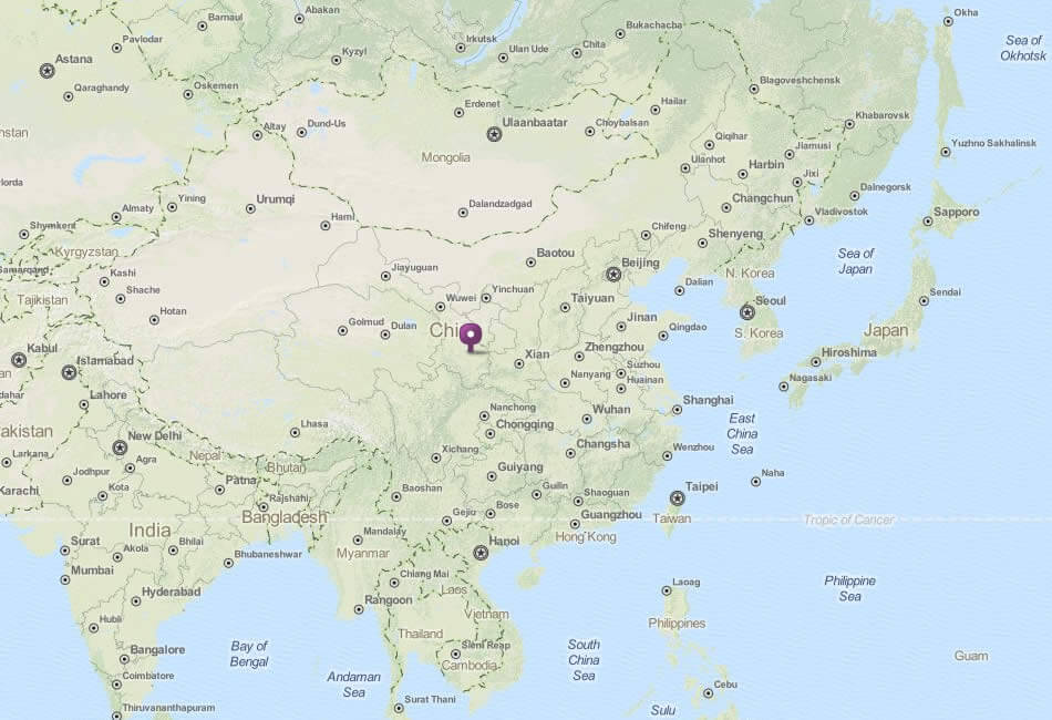
A collection Map of China


Largest Cities Map of China
Beijing Map - Guangzhou Map - Tianjin Map - Wuhan Map - Shenzhen Map - Chongqing Map - Shenyang Map - Chengdu Map - Foshan Map - Xi'an Map - Dongguan Map - Nanjing Map - Harbin Map - Shanghai Map - Changchun Map - Chongging Map - Dalian Map - Handan Map - Hangzhou Map - Jinan Map - Qingdao Map -China Google Map, Street Views, Maps Directions, Satellite Images
worldmap1.com offers a collection of China map, google map, China atlas, political, physical, satellite view, country infos, cities map and more map of China.