Navigate map of Ireland, Ireland country maps, satellite images of the Ireland, Ireland largest city maps, political, physical map of Ireland, driving directions and traffic maps.


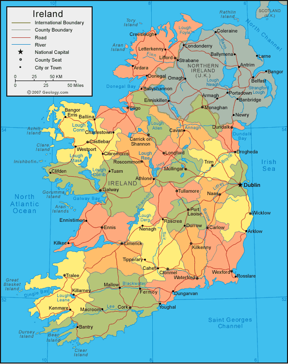
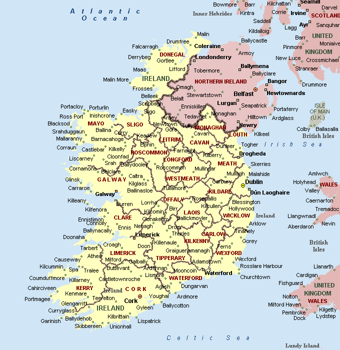
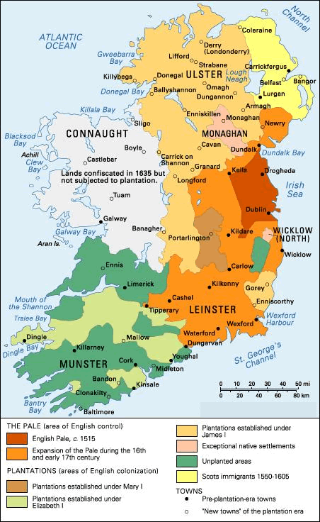
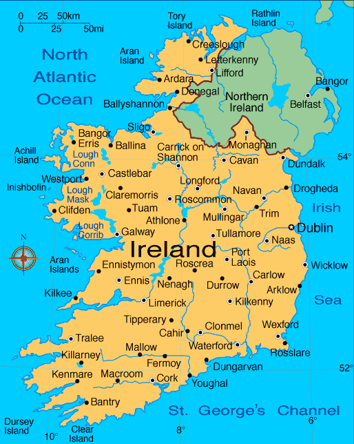
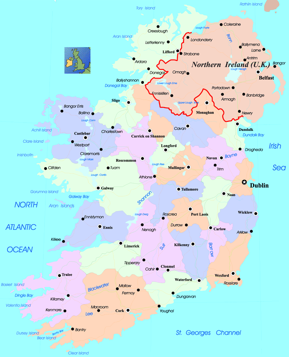
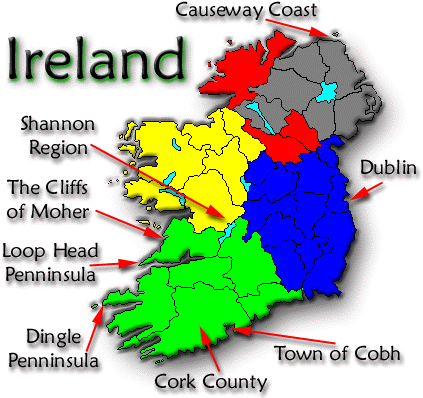
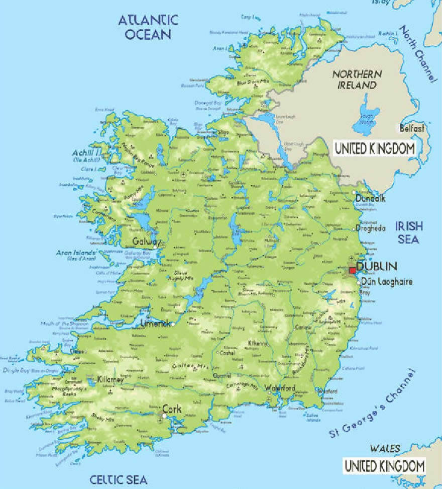
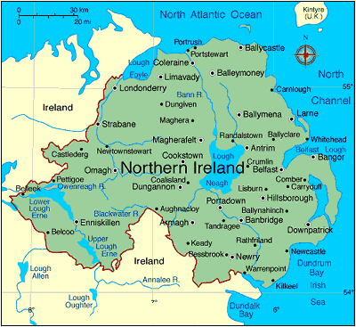
Map of Ireland

A collection maps of Ireland


Largest Cities Map of Ireland
Dublin Map - 1,110,627 Belfast Map - 579,726 Cork Map - 198,582 Limerick Map - 91,454 Derry Map - 90,663 Galway Map - 76,778 Craigavon Map - 57,651 Waterford Map - 51,519 Drogheda Map - 38,578 Dundalk Map - 37,816 Lucan Map - 37,622 Wexford Map - 20,072Ireland Google Map, Street Views, Maps Directions, Satellite Images
Please Not : You can find local businesses, public places, tourist attractions via map view, satellite image, hybrid view, driving directions in Ireland Map. You'll also find a varity map of Ireland such as political, administrative, transportation, demographics maps following Google map.
Submit URL to Ireland :