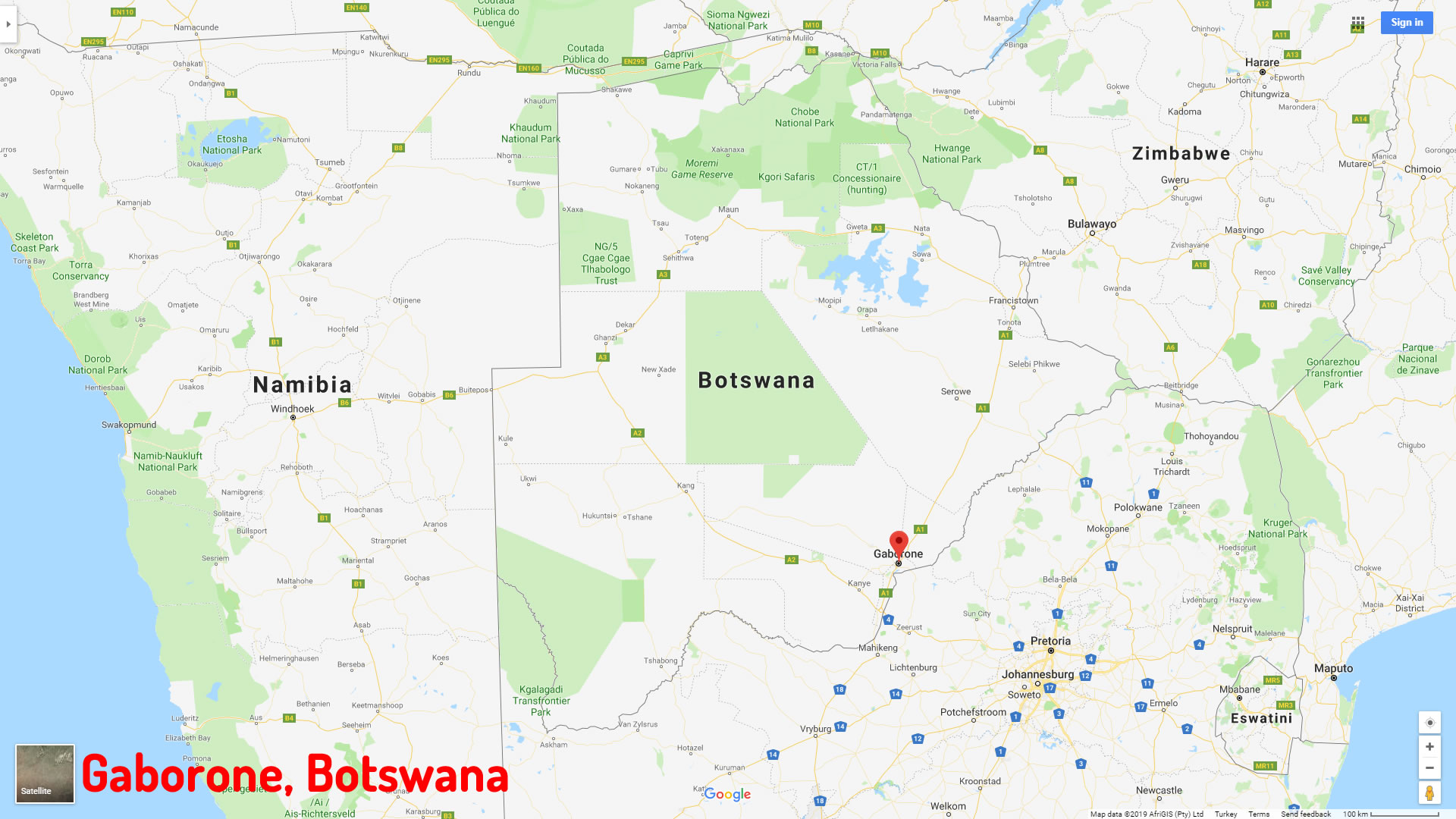
Map of Gaborone, Botswana
Navigate Gaborone map, Gaborone country map, satellite images of Gaborone, Gaborone largest cities, towns maps, political map of Gaborone, driving directions, physical, atlas and traffic maps in Botswana.
Gaborone City Town Maps
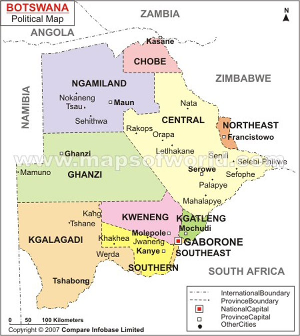
GABORONE MAP BOTSWANA
A Collection of Gaborone Maps and Gaborone Satellite Images
GABORONE MAP BOTSWANA
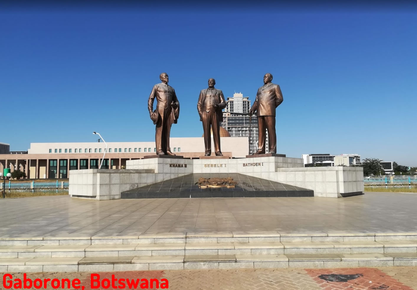
GABORONE BOTSWANA
GABORONE MAP
Alphabetically Cities Map of Gaborone & Population of Gaborone Cities
Selebi Phikwe Map Molepolole Map Maun Map Gaborone Map Francistown Map- Head of Performance Marketing
- Head of SEO
- Linkedin Profile: linkedin.com/in/arifcagrici
See Also
Gaborone Google Map, Street Views, Maps Directions, Satellite Images
WorldMap1.com offers a collection of Gaborone map, google map, Gaborone atlas, political, physical, satellite view, country infos, cities map and more map of Gaborone.
Botswana Largest Cities Map by Population
Maun Map Molepolole Map Selebi Phikwe Map Francistown Map Gaborone MapCopyright WorldMap1.com 2006 - 2023. All rights reserved. Privacy Policy | Disclaimer