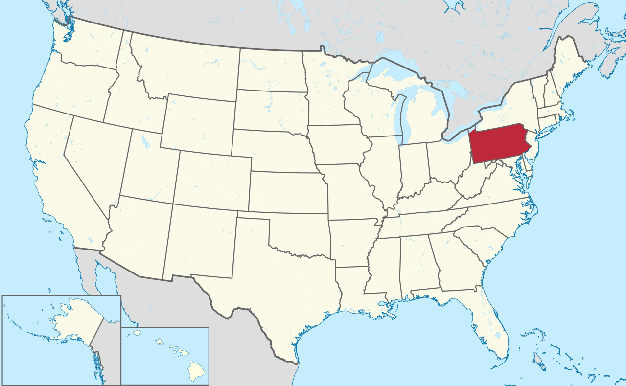
Pennsylvania Map in United States
Pennsylvania, officially the Commonwealth of Pennsylvania, is a U.S. state that is located in the Northeastern and Mid-Atlantic regions of the United States, and the Great Lakes region. The state borders Delaware to the southeast, Maryland to the south, West Virginia to the southwest, Ohio to the west, Lake Erie and Ontario, Canada to the northwest, New York to the north and New Jersey to the east. The Appalachian Mountains run through the middle of the state.
Where is Pennsylvania in the US and Cities Map of Pennsylvania
Please subscribe on "World Guide" channnel on Youtube at youtube.com/c/WorldGuide

Largest Cities Map of Pennsylvania and Population
- Philadelphia Map - 1.526.006 - (39.952335, -75.163789)
- Pittsburgh Map - 305.704 - (40.441,-79.996)
- Allentown Map - 118.032 - (40.608,-75.49)
- Erie Map - 101.786 - (42.129,-80.085)
- Reading Map - 88.082 - (40.336,-75.927)
- Scranton Map - 76.089 - (41.409,-75.662)
- Bethlehem Map - 74.982 - (40.626,-75.37)
- Lancaster Map - 59.322 - (40.038,-76.306)
- Levittown Map - 52.983 - (40.155,-74.829)
- Harrisburg Map - 49.528 - (40.274,-76.884)
- Altoona Map - 46.320 - (40.518681, -78.394736)
- York Map - 43.718 - (39.962598, -76.727745)
- Penn Hills Township Map - 42.329 - (40.478781, -79.818468)
- State College Map - 42.034 - (40.793395, -77.860001)
- Wilkes Barre Map - 41.498 - (41.245915, -75.881308)
- Norristown Map - 34.324 - (40.121497, -75.339905)
- Chester Map - 33.972 - (39.849557, -75.355746)
- Mount Lebanon Township Map - 33.137 - (40.372771, -80.047904)
- Bethel Park Map - 32.313 - (40.327570, -80.039498)
- Radnor Township Map - 31.531 - (40.028344, -75.368307)
- Head of Performance Marketing
- Head of SEO
- Linkedin Profile: linkedin.com/in/arifcagrici
- Head of Performance Marketing
- Head of SEO
- Linkedin Profile: linkedin.com/in/arifcagrici
Google Map, Street Views, Maps Directions, Satellite Images
WorldMap1.com offers a collection of map, google map, atlas, political, physical, satellite view, country infos, cities map and more map of .
Copyright WorldMap1.com 2006 - 2023. All rights reserved. Privacy Policy | Disclaimer