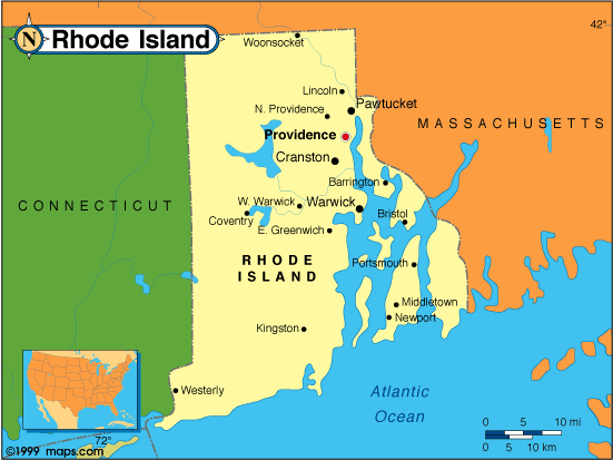
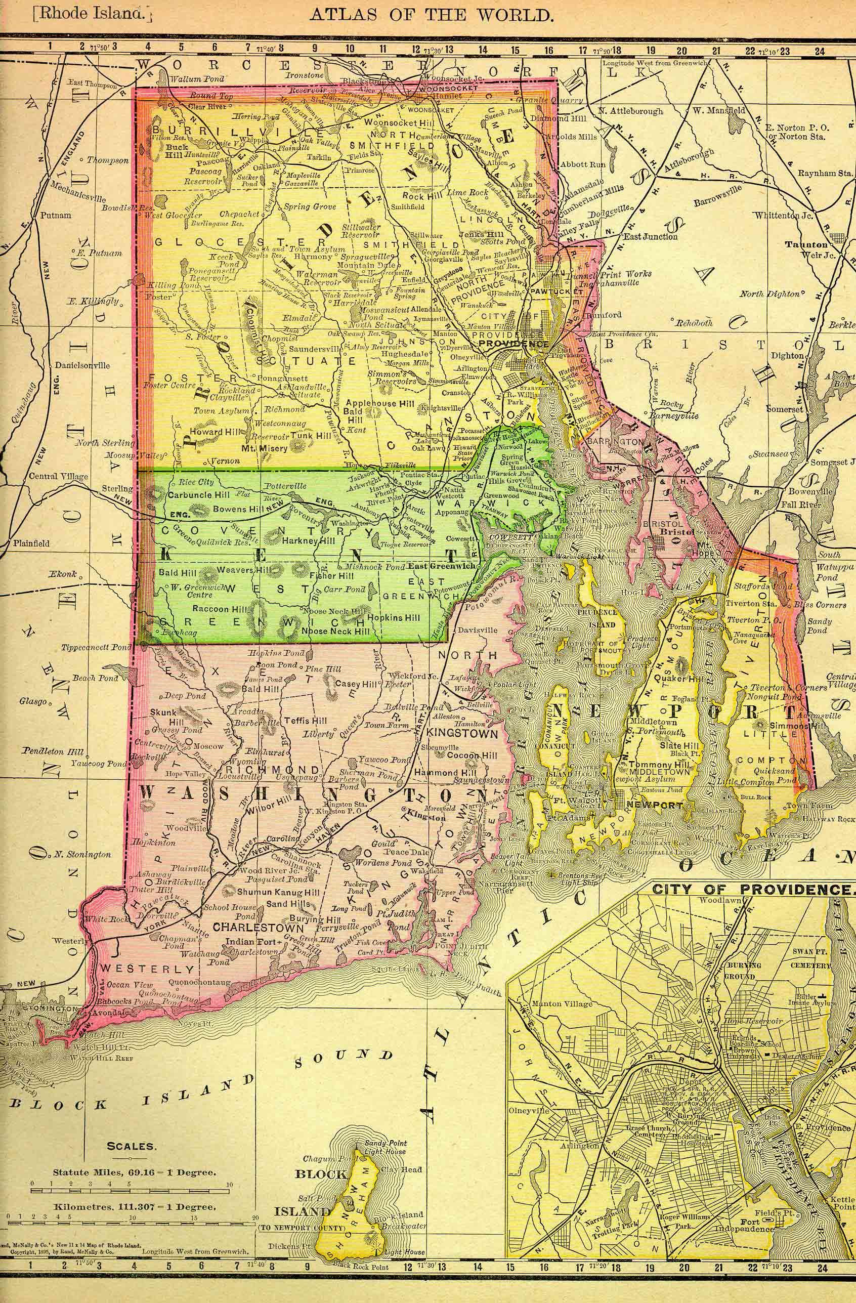
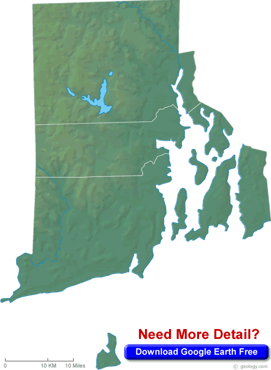
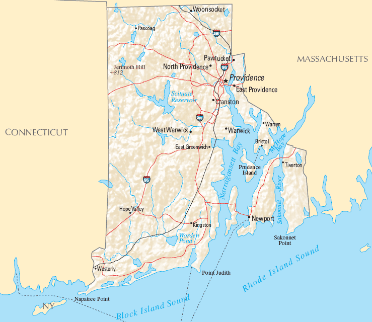
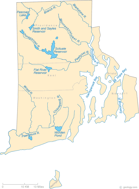
Rhode Island Map
Navigate Rhode Island map, Rhode Island country map, satellite images of Rhode Island, Rhode Island largest cities, towns maps, political map of Rhode Island, driving directions, physical, atlas and traffic maps.
Click for Content Detail »
Find desired maps by entering country, city, town, region or village names regarding under search criteria. On upper left Map of Rhode Island (+) beside zoom in and (-) sign to to zoom out via the links you can visit. Rhode Island Map move the mouse over it via (left click) and clicking the image you can drag. Right upper Map, Satellite, Terrain icons via the map view, satellite, hybrid and terrain map can be switch between images.
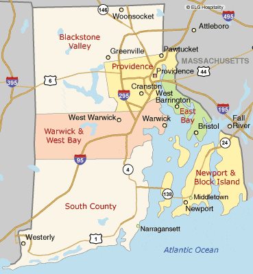
Largest Cities Map of Rhode Island and Population
Rhode Island City - Population » Providence - 178,042 » Warwick - 82,672 » Cranston - 80,387 » Pawtucket - 71,148 » East Providence - 47,037 » Woonsocket - 41,186 » Cumberland - 34,843 » North Providence Town - 32,078 » West Warwick Town - 29,191 » Newport - 24,672 » Bristol Town - 22,954 » Central Falls - 19,376 » Westerly - 17,936 » Barrington Town - 16,310 » Newport East - 11,769Related Rhode Island Maps and Rhode Island Satellite Images
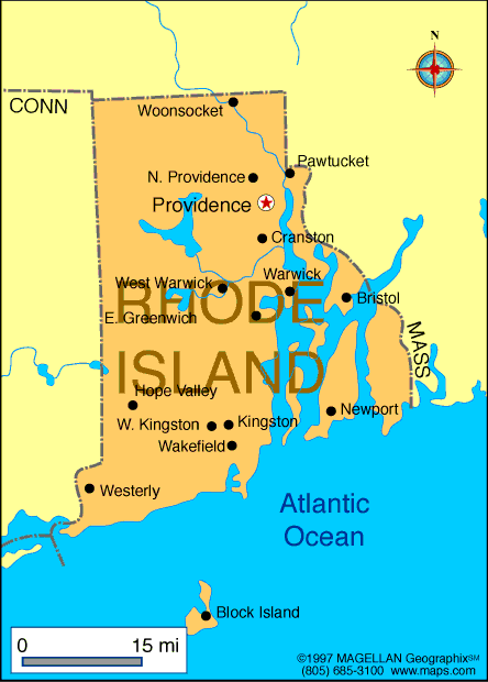
Alphabetically Cities Map of Rhode Island & Population of Rhode Island Cities
» Ashaway Map - 1485 » Barrington Town Map - 16310 » Bradford Map - 1406 » Bristol Town Map - 22954 » Carolina Map - 970 » Central Falls Map - 19376 » Chepachet Map - 1675 » Clayville Map - 300 » Cranston Map - 80387 » Cumberland Map - 34843 » Cumberland Hill Map - 7934 » East Providence Map - 47037 » Foster Center Map - 355 » Greene Map - 888 » Greenville Map - 8658 » Harmony Map - 985 » Harrisville Map - 1605 » Hope Valley Map - 1612 » Kingston Map - 6974 » Melville Map - 1320 » Misquamicut Map - 390 » Narragansett Pier Map - 3409 » Newport Map - 24672 » Newport East Map - 11769 » North Providence Town Map - 32078 » Pascoag Map - 4577 » Pawtucket Map - 71148 » Providence Map - 178042 » Quonochontaug Map - 333 » Tiverton Map - 7557 » Valley Falls Map - 11547 » Wakefield Peacedale Map - 8487 » Warwick Map - 82672 » Watch Hill Map - 154 » Weekapaug Map - 425 » West Warwick Town Map - 29191 » Westerly Map - 17936 » Woonsocket Map - 41186 » Wyoming Map - 270For All Rhode Island Cities Map
Click for Google Map »
Where on World Map
Click for Direction »
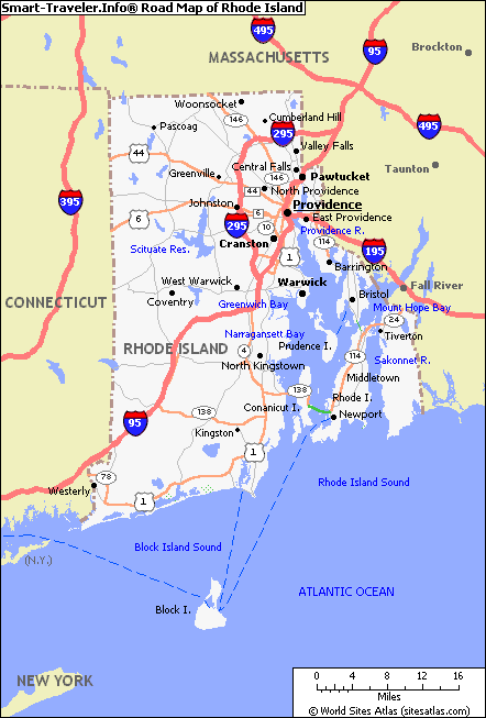
Road Map and Direction