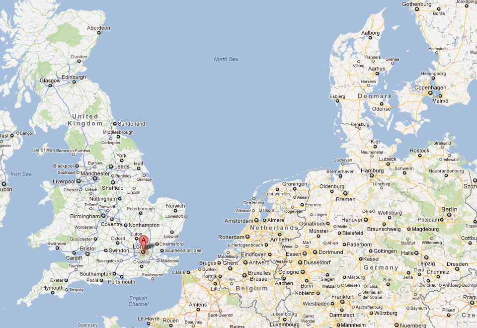
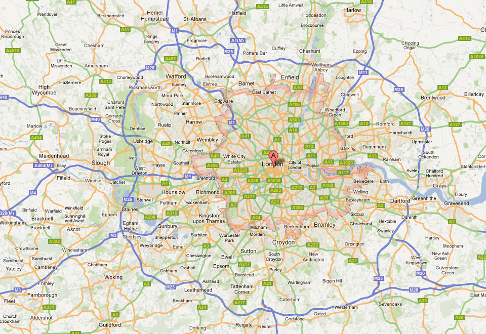
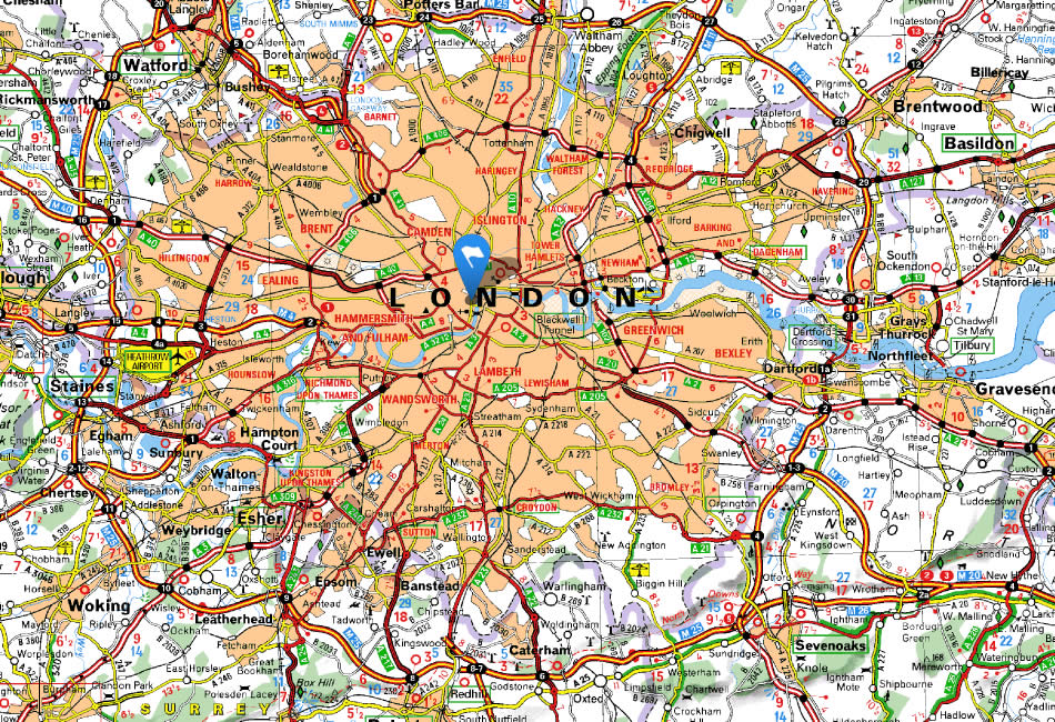
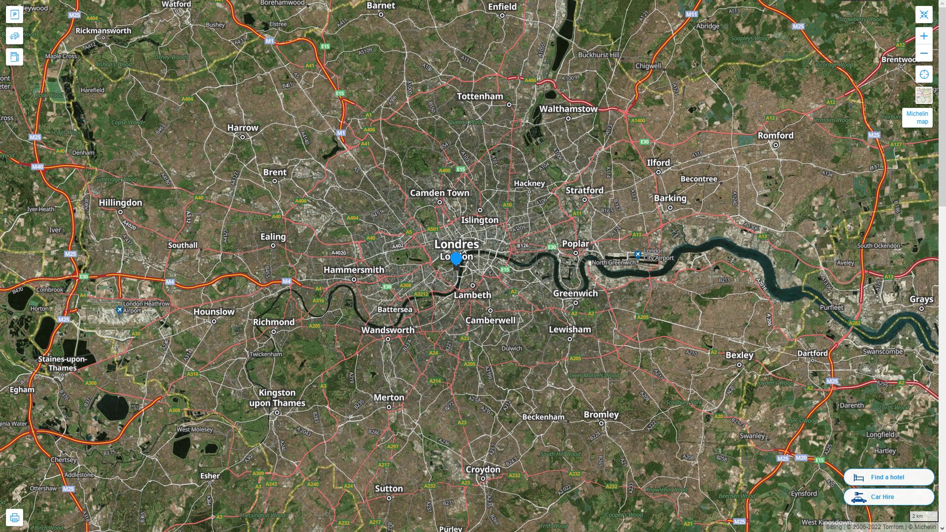
London Map
Navigate London Map, London city map, satellite images of London, London towns map, political map of London, driving directions and traffic maps.
For more >> United Kingdom Maps
For more info >> United Kingdom
London Map FQA
Can I download a high-resolution map of London ?
Yes. Download high-resolution political and physical maps of London for personal or educational use. Redistribution is subject to the terms of our license.London Map - Political, Physical, Touristic City Maps and Satellite Images
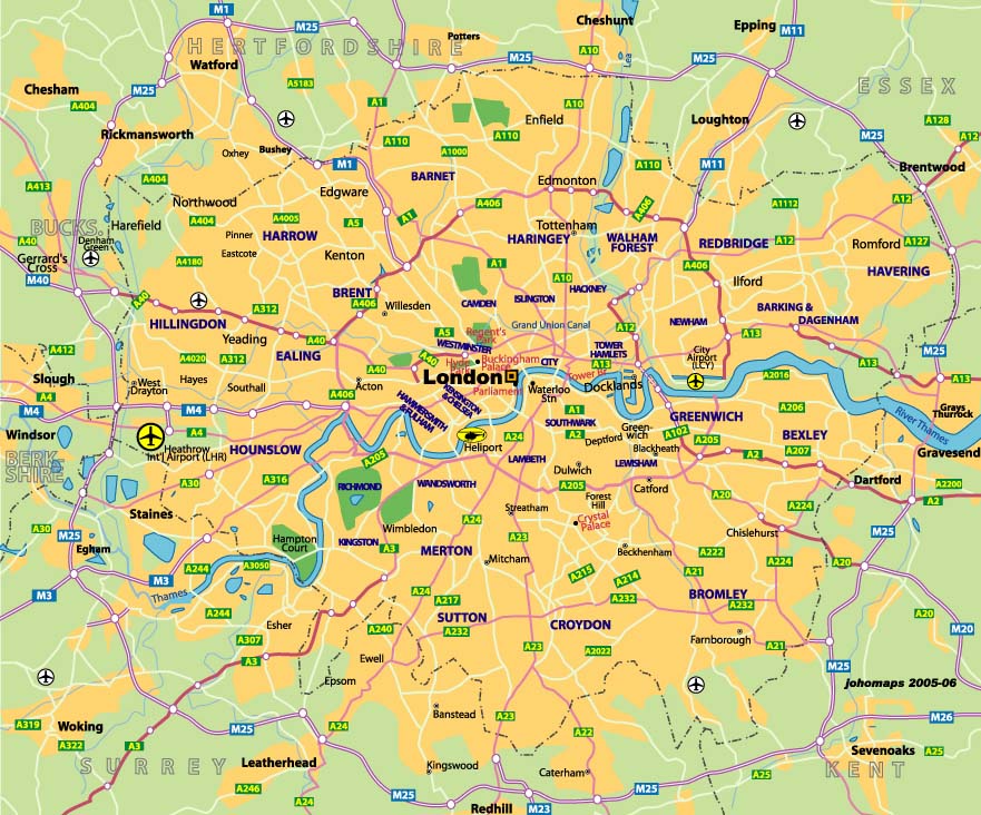
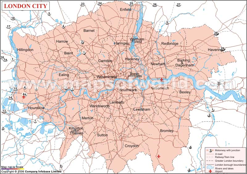
LONDON CITY MAP
A Collection of London Maps
LONDON CITY MAP
CENTRAL LONDON MAP HYDE PARK
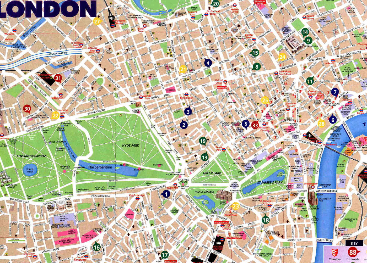
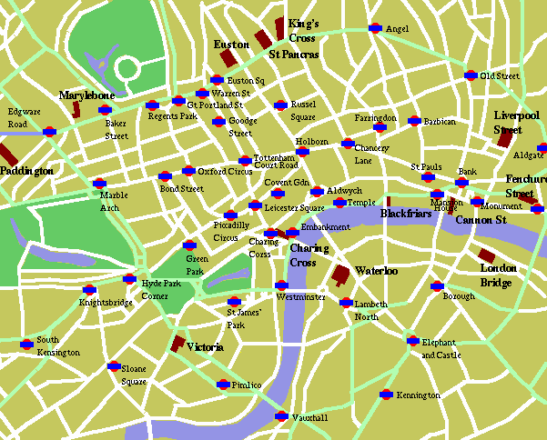
DONWTOWN LONDON MAP
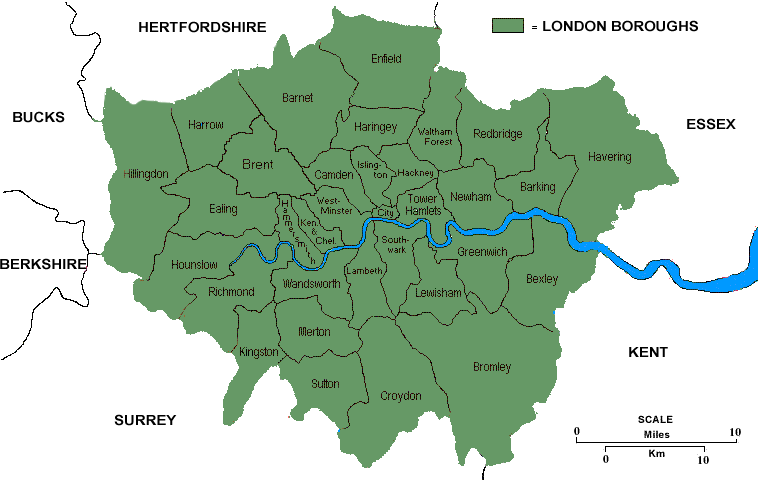
LONDON CITY MAP
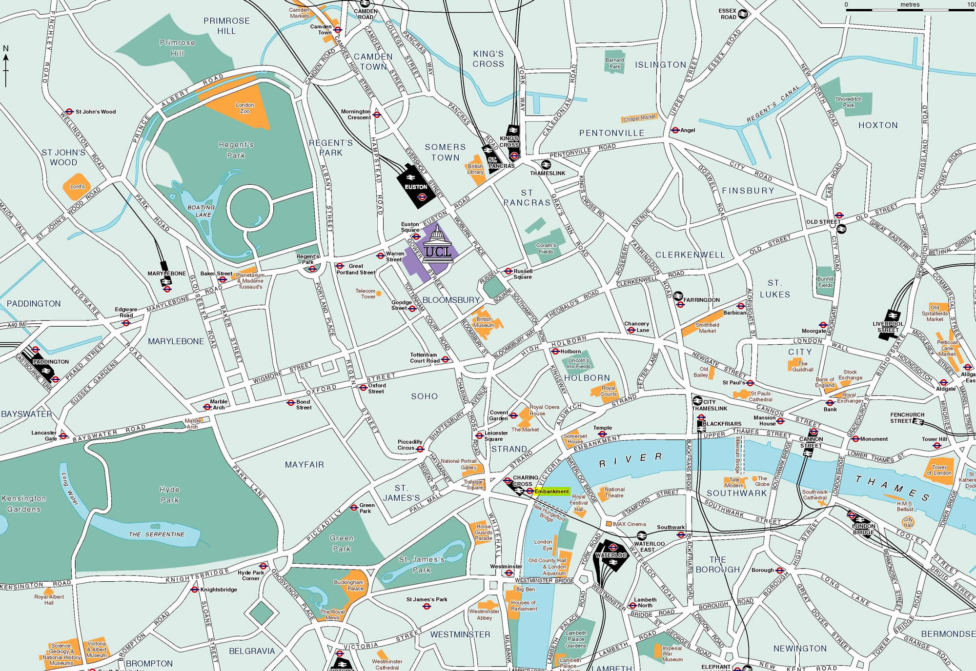
LONDON DISTRICY MAP
LONDON MAP
LONDON METRO MAP
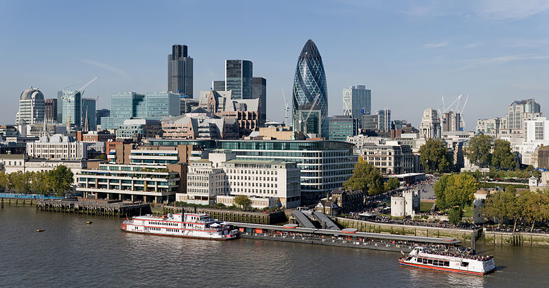
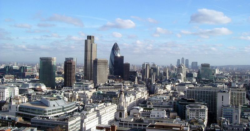
LONDON SKYLINES
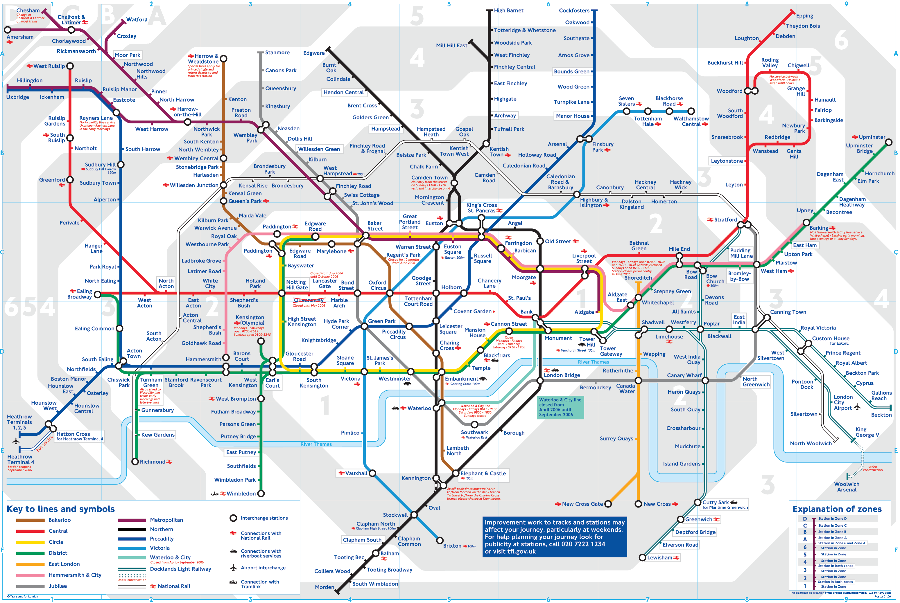
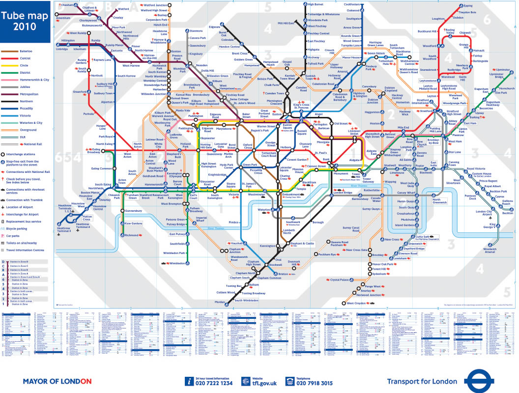
LONDON UNDERGROUND MAP
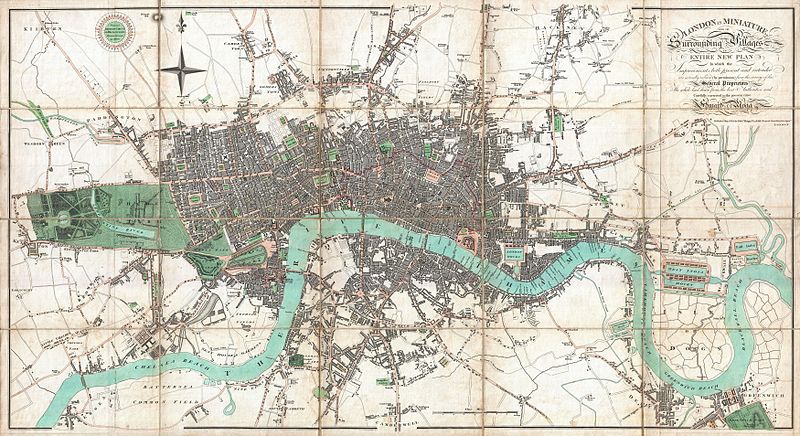
LONDON MAP 1806
LONDON MAP
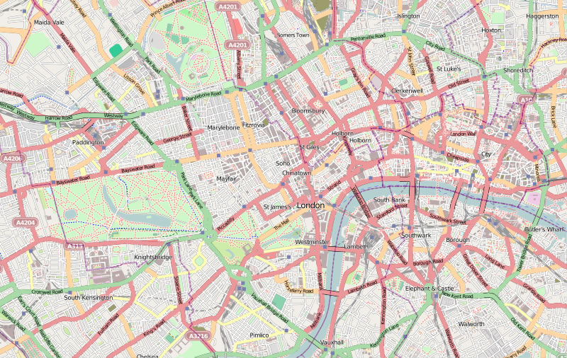
LONDON STREET MAP
LONDON
LONDON MAP
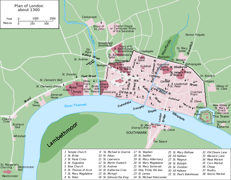
LONDON MAP 1300
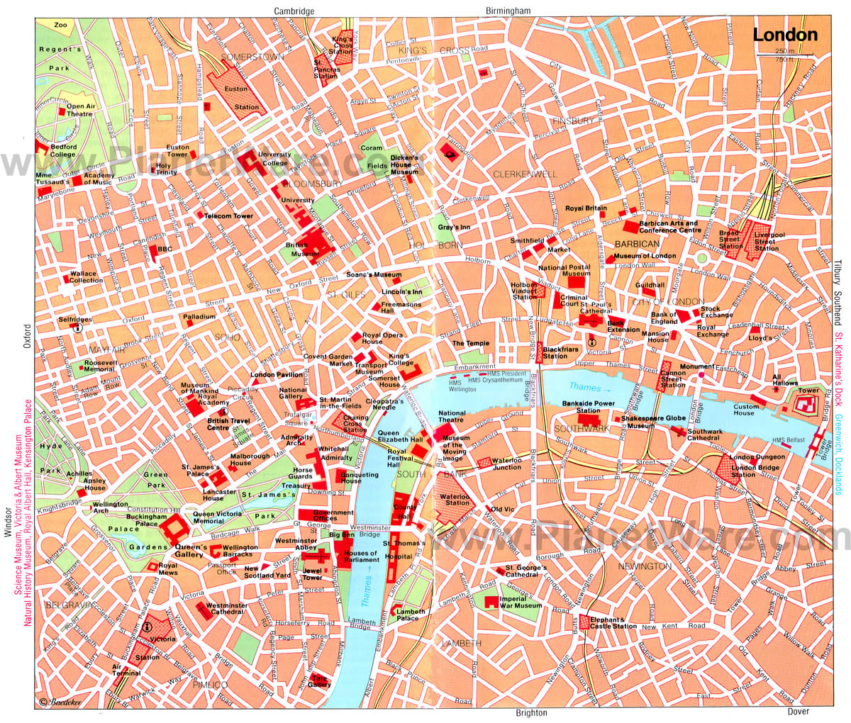
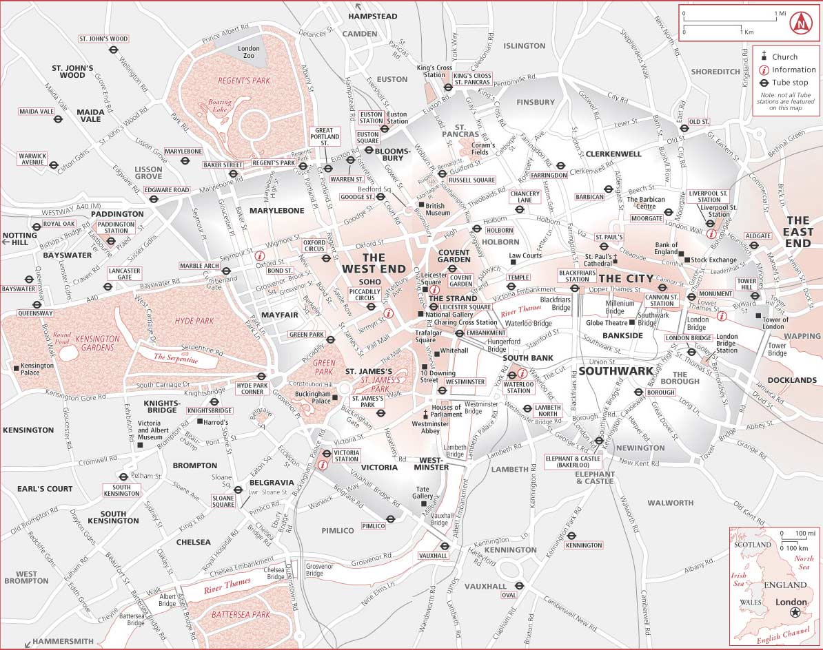
LONDON TOURIST MAP
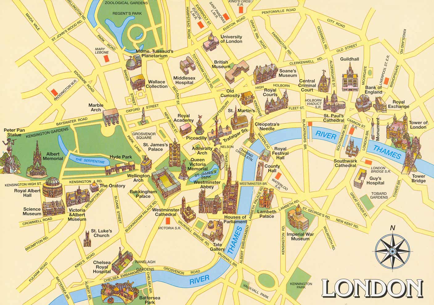
MAP OF LONDON UK
MAP OF LONDON WORLD

MAP OF LONDON
MAP LONDON
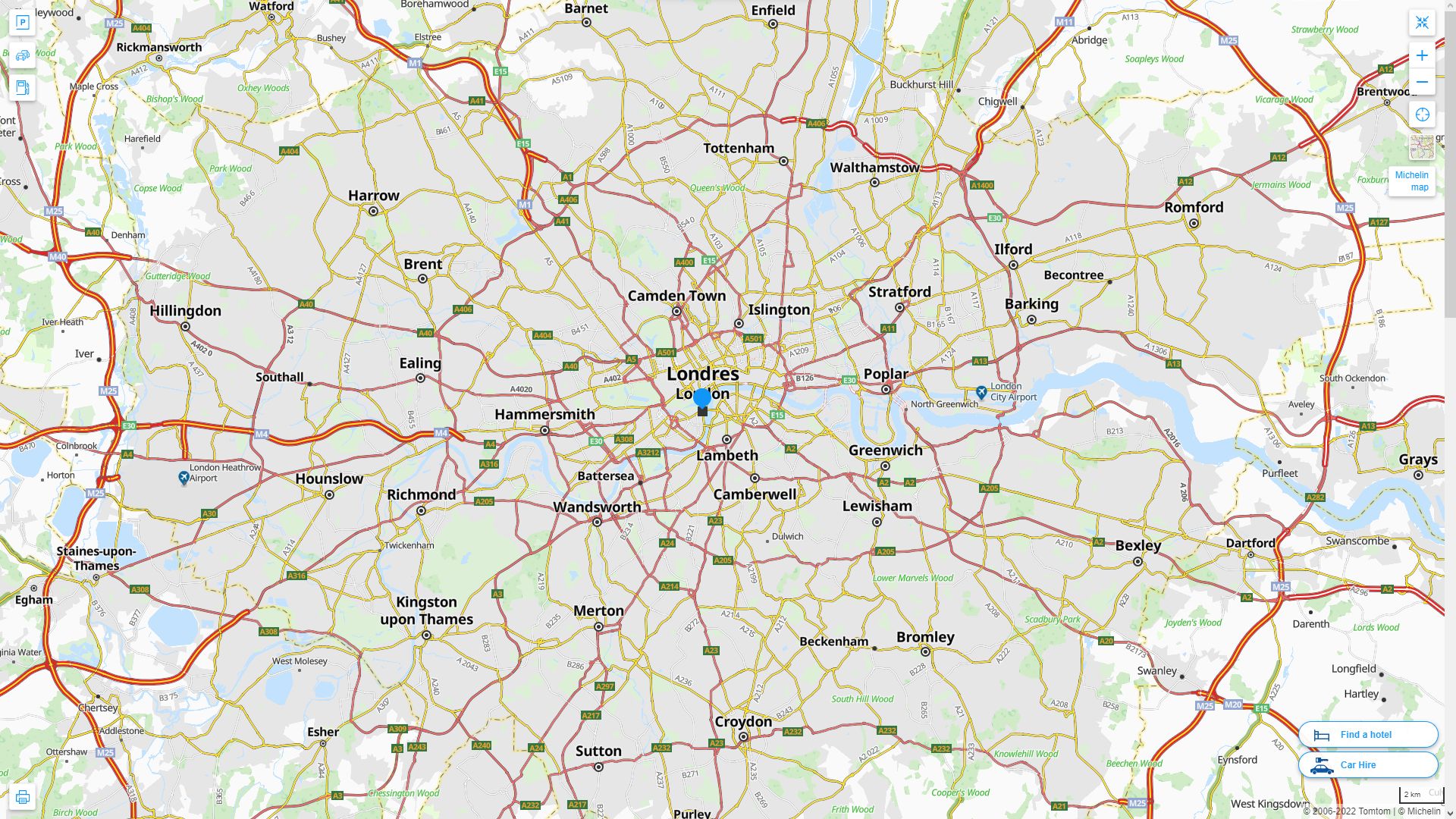
LONDON HIGHWAY AND ROAD MAP WITH SATELLITE VIEW
LONDON HIGHWAY AND ROAD MAP
Top 10 Tourist Attractions in London
Please subscribe on "World Guide" channnel on Youtube at youtube.com/c/WorldGuide
- Head of Performance Marketing
- Head of SEO
- Linkedin Profile: linkedin.com/in/arifcagrici
See Also
London Google Map, Street Views, Maps Directions, Satellite Images
WorldMap1.com offers a collection of London map, google map, London atlas, political, physical, satellite view, country infos, cities map and more map of London.