Manchester Map
Navigate Manchester Map, Manchester city map, satellite images of Manchester, Manchester towns map, political map of Manchester, driving directions and traffic maps.
For more >> United Kingdom Maps
For more info >> United Kingdom
Manchester Map FQA
Can I download a high-resolution map of Manchester ?
Yes. Download high-resolution political and physical maps of Manchester for personal or educational use. Redistribution is subject to the terms of our license.Manchester Map - Political, Physical, Touristic City Maps and Satellite Images
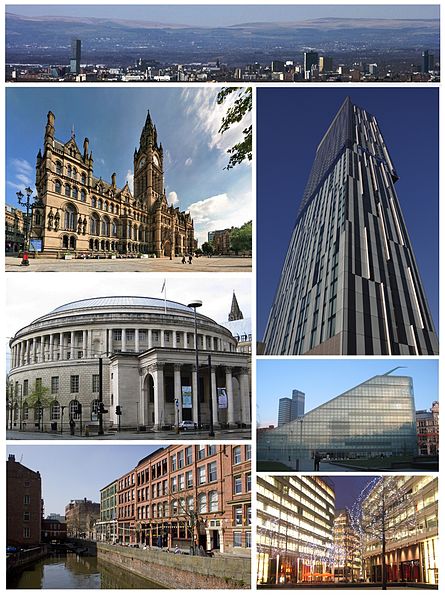
CITY OF MANCHESTER
A Collection of Manchester Maps
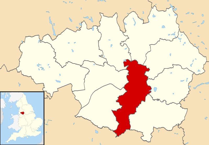
CITY OF MANCHESTER

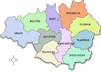
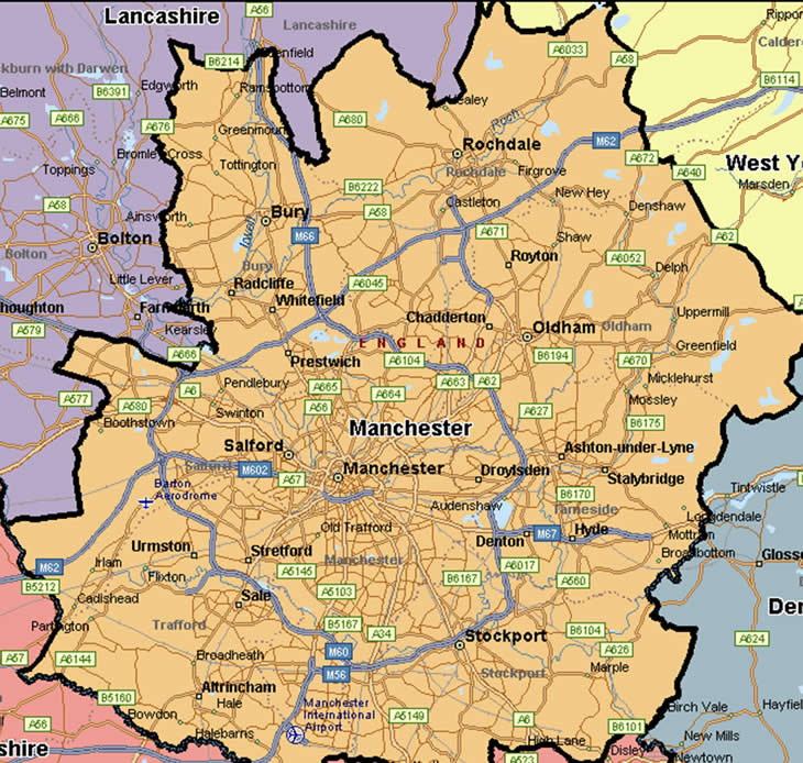
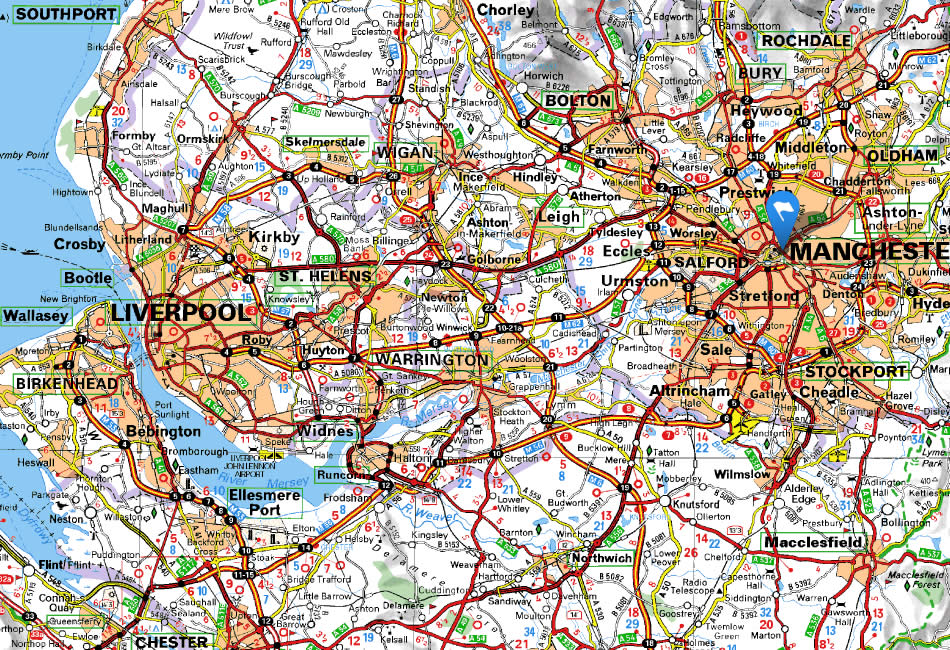
GREATER MAP OF MANCHESTER
MANCHESTER MAP
MANCHESTER MAP
MANCHESTER MAP
MANCHESTER MAP
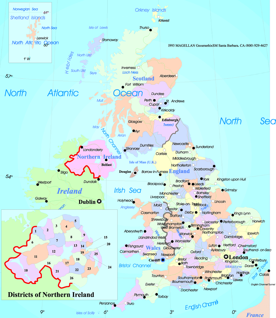
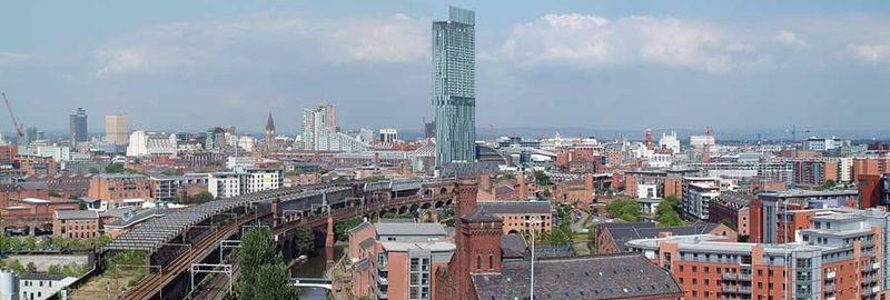
MANCHESTER
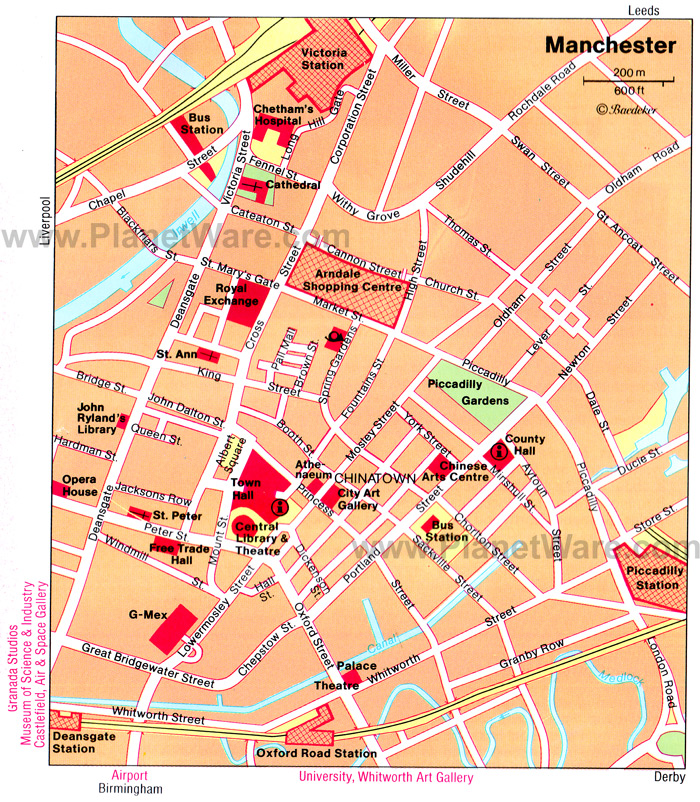
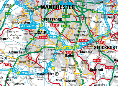
MANCHESTER AREA MAP
MANCHESTER MAP
MANCHESTER POSTCODES MAP
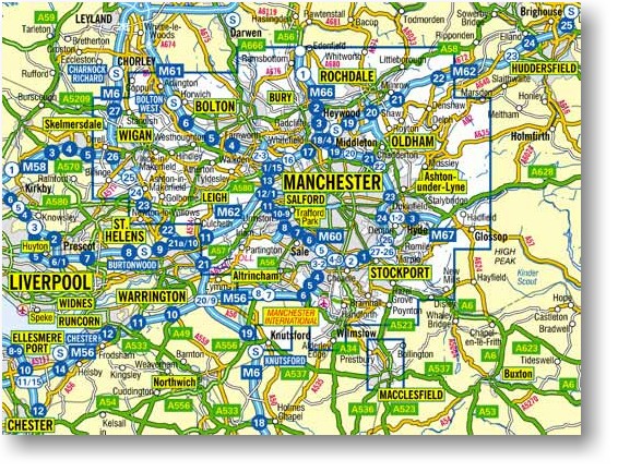
ROAD MAP OF MANCHESTER
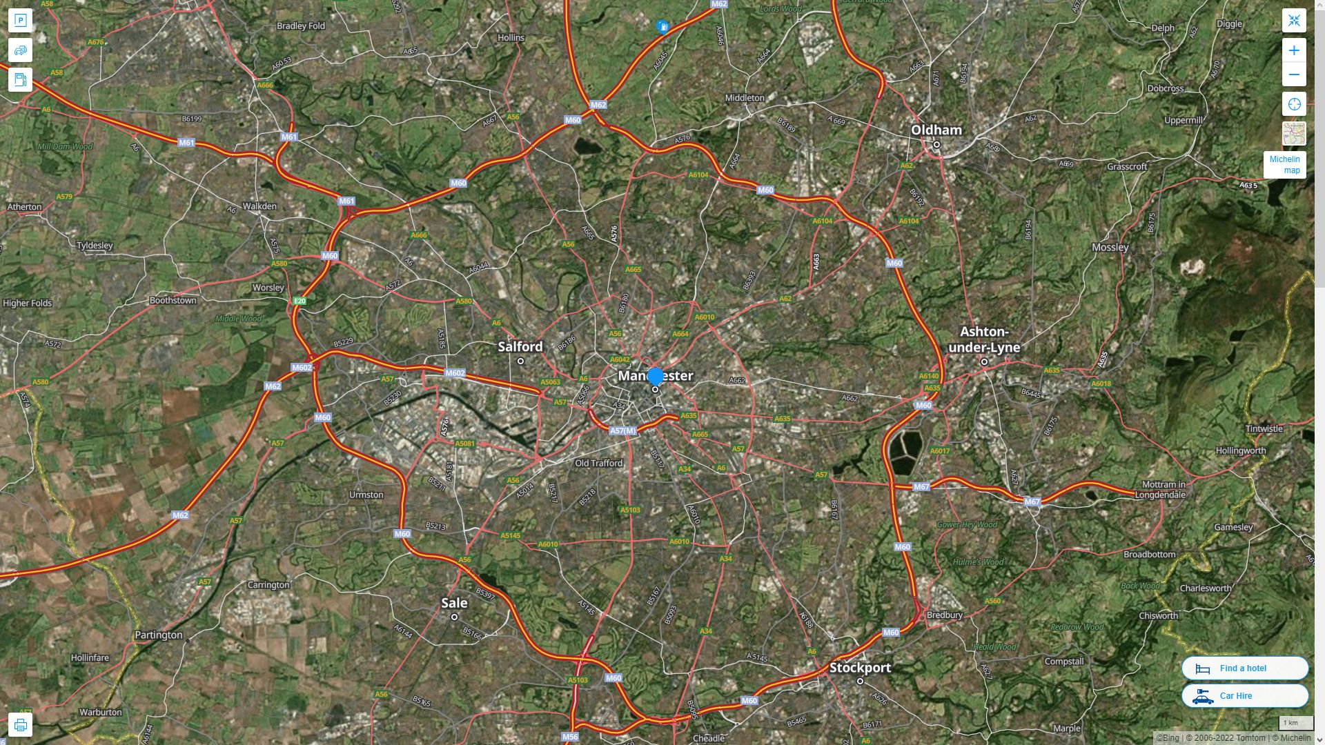
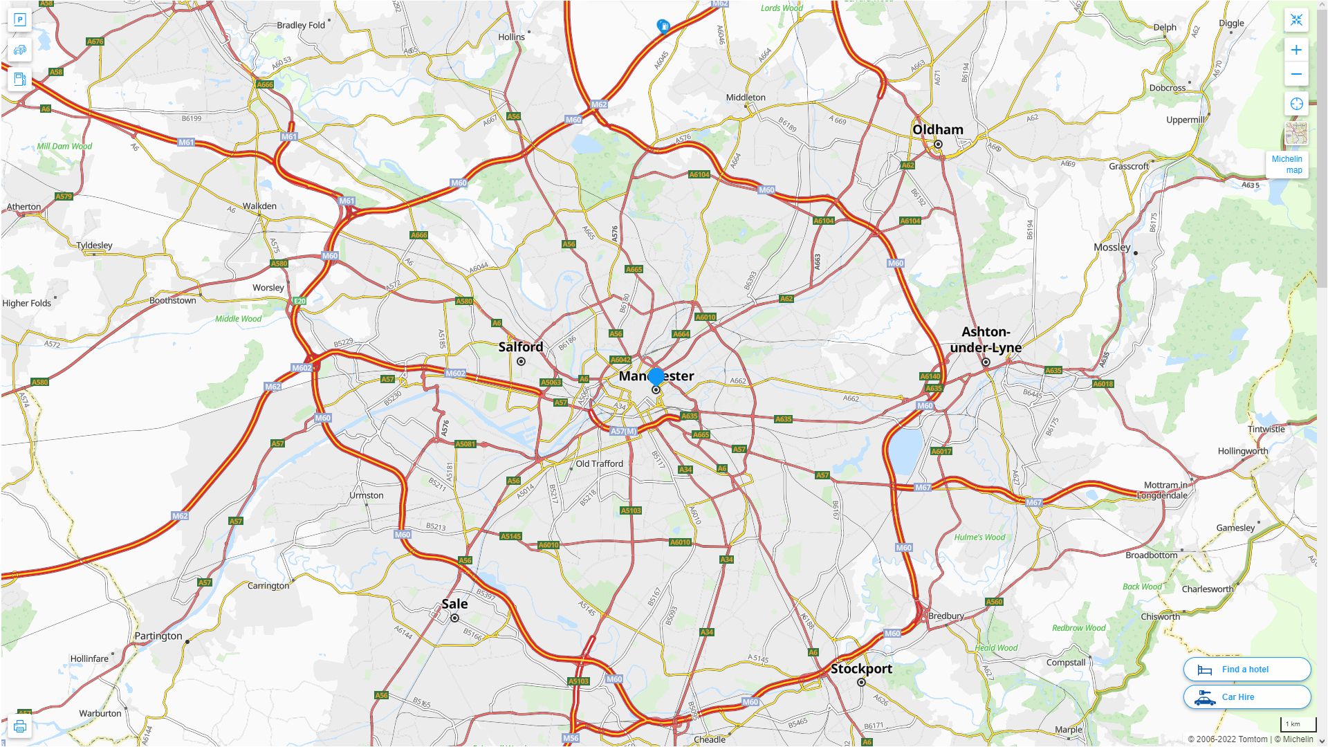
MANCHESTER HIGHWAY AND ROAD MAP WITH SATELLITE VIEW
MANCHESTER HIGHWAY AND ROAD MAP
- Head of Performance Marketing
- Head of SEO
- Linkedin Profile: linkedin.com/in/arifcagrici
See Also
Manchester Google Map, Street Views, Maps Directions, Satellite Images
WorldMap1.com offers a collection of Manchester map, google map, Manchester atlas, political, physical, satellite view, country infos, cities map and more map of Manchester.