Kenosha Travel Guide and Kenosha Protests, Wisconsin
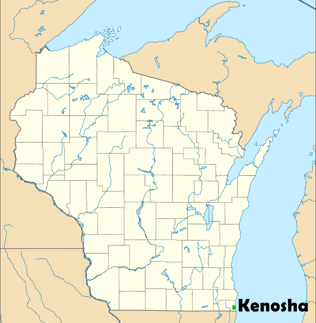
Kenosha is located in Wisconsin state in the USA where the city on Lake Michigan. Kenosha has a population of 99,944 as of 1 July 2019 census, which is the fourth-largest city in Wisconsin and the fourth-largest city on Lake Michigan.
Click for Content Detail »
Kenosha Travel Guide - Kenosha Protests, Wisconsin USA - 4K Drone - Youtube Video
Thanks for Subscribing youtube.com/c/WorldGuide
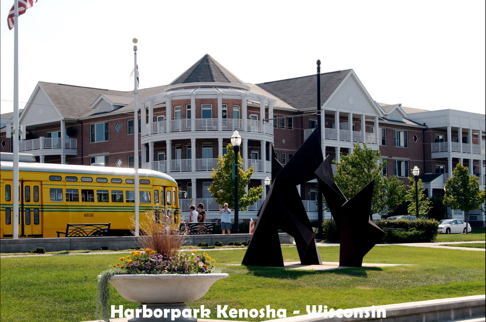
 The Dinosaur Discovery Museum has a collection of dinosaur fossils. Southport Light Station Museum includes exhibits in an 1860s lighthouse keeper’s home. The Southport Lighthouse offers a city view from the top of Kenosha.
 • Mayor of Kenosha: John Antaramian Trending
• Kenosha ZIP Codes: 53140–53144
• Population of Kenosha: 100,164 (2018)
• Kenosha Area Code: 262
• City Area: 28.45 sq mi (73.69 km2)
• Land Area: 28.36 sq mi (73.46 km2)
• Water Area: 0.09 sq mi (0.23 km2)
• Elevation: 604 ft (184 m)
• Settled: Pike Creek, 1835 • Incorporated: Kenosha, February 8, 1850
Kenosha History
 Early archaeological sites have been discovered in the Kenosha vicinity; the discoverer of two sites believes they antedate the Clovis culture, making them contemporaneous with the Wisconsin glaciation. Paleo-Indians settled in the area at least 13,500 years ago.
The land was ceded by the Potawatomi in 1833, when they sold the last of their land in Illinois and Wisconsin to the United States. They had hoped to protect their land claims by fighting alongside the US in the Black Hawk War of 1832, but growing poverty forced them to sell in exchange for territory in Iowa and economic investments in schools and agriculture.
Kenosha Demographics
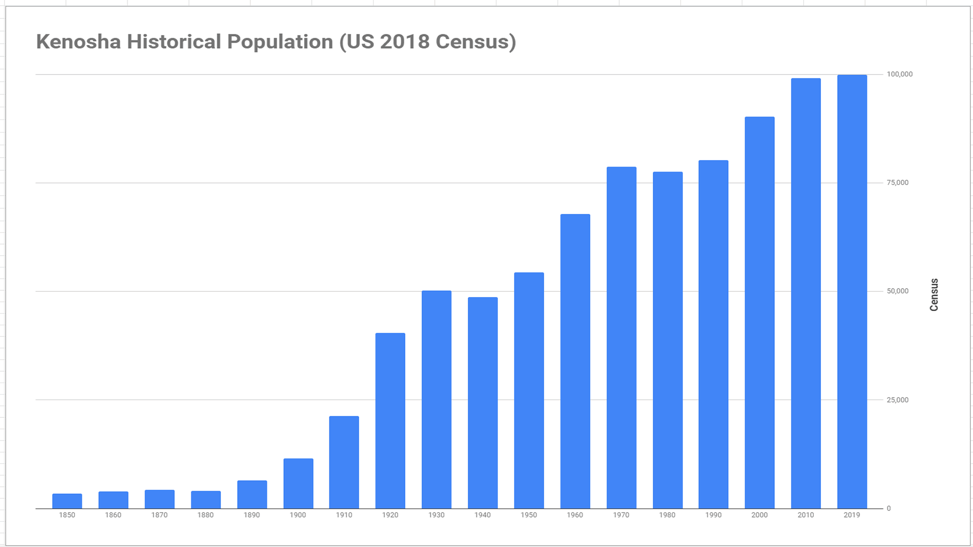 As of the estimated census of 2019, there were 99,944 people, 37,376 households, and 24,090 families residing in the city.
The city's population is 77.1% White, 10.0% African American, 0.6% Native American, 1.7% Asian, 0.1% Pacific Islander, 6.8% from other races origin. Kenosha has Hispanic or Latino of any race were 16.3% of the population.
Kenosha Real estate and housing
Number of households:
- 1990: 47,029
- 2000: 56,057
- 2005: 58,715
Kenosha 2005 Housing Statistics:
- Total housing units: 67,568
- Owner occupied: 42,197
- Median value of homes: $167,500
- Renter occupied: 16,518
- Median rent paid: $722
- Rental vacancy rate: 11.1%
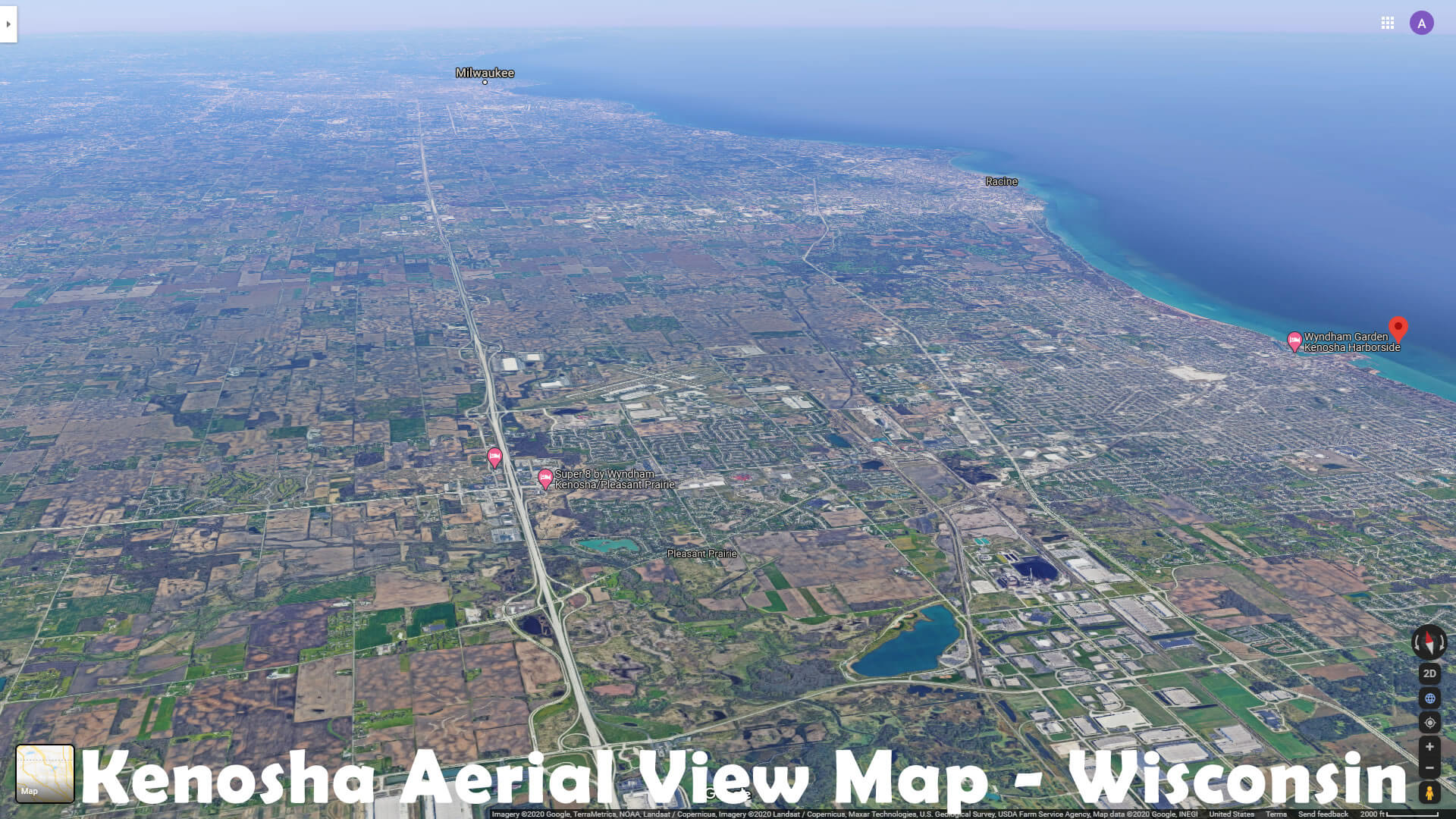
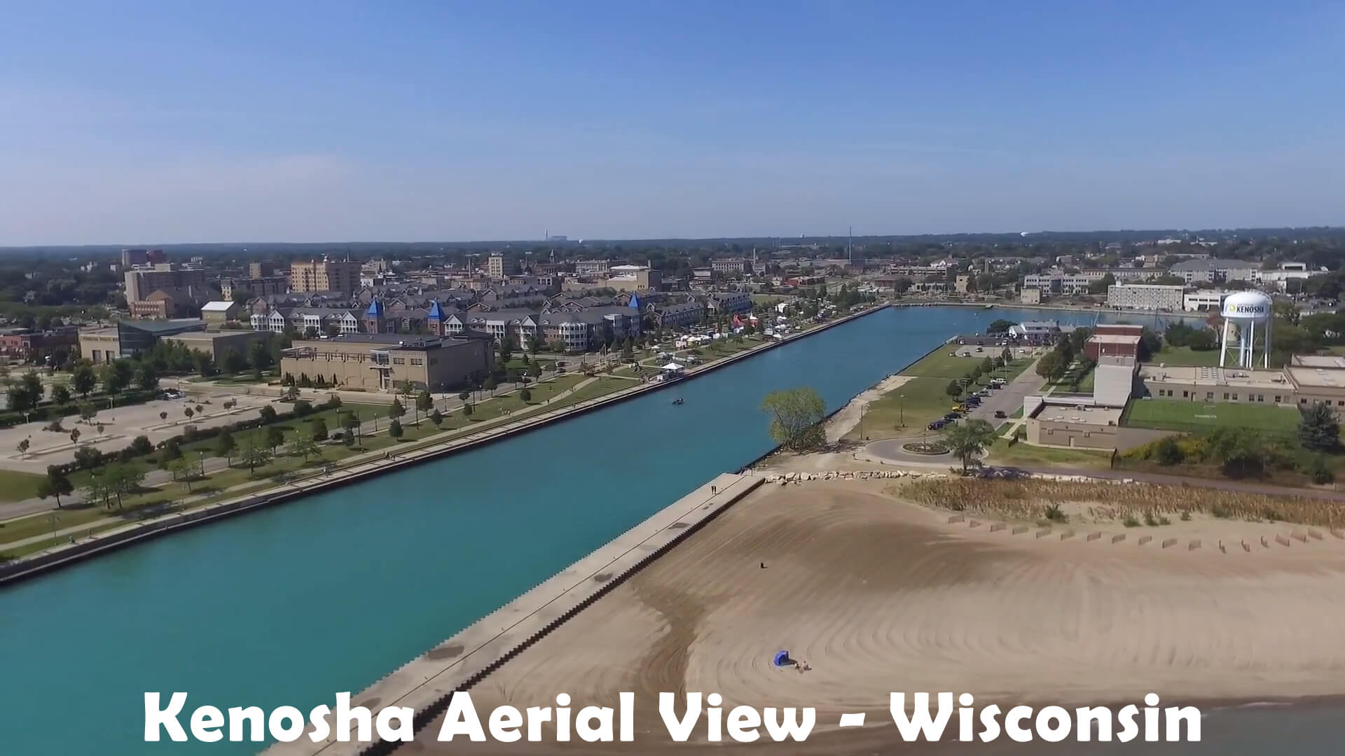
Kenosha Aerial View - Wisconsin
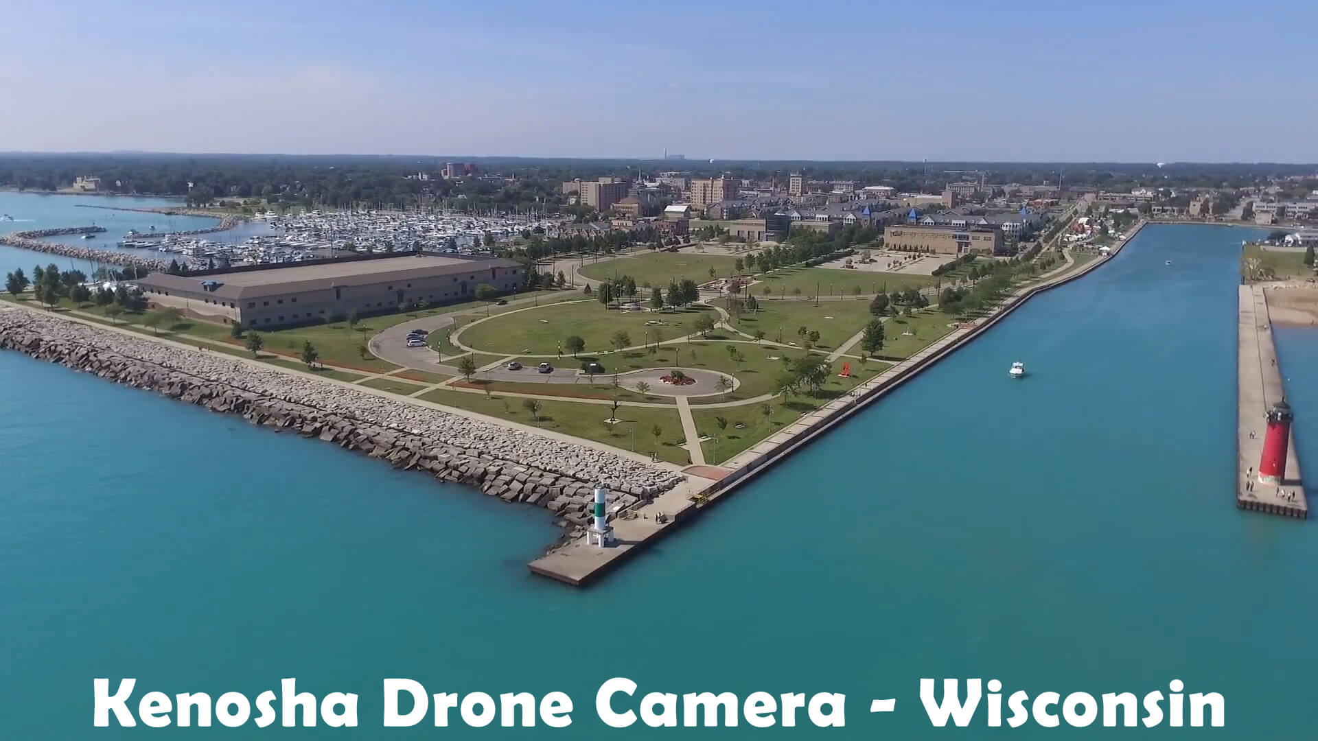
Kenosha Drone Camera - Wisconsin
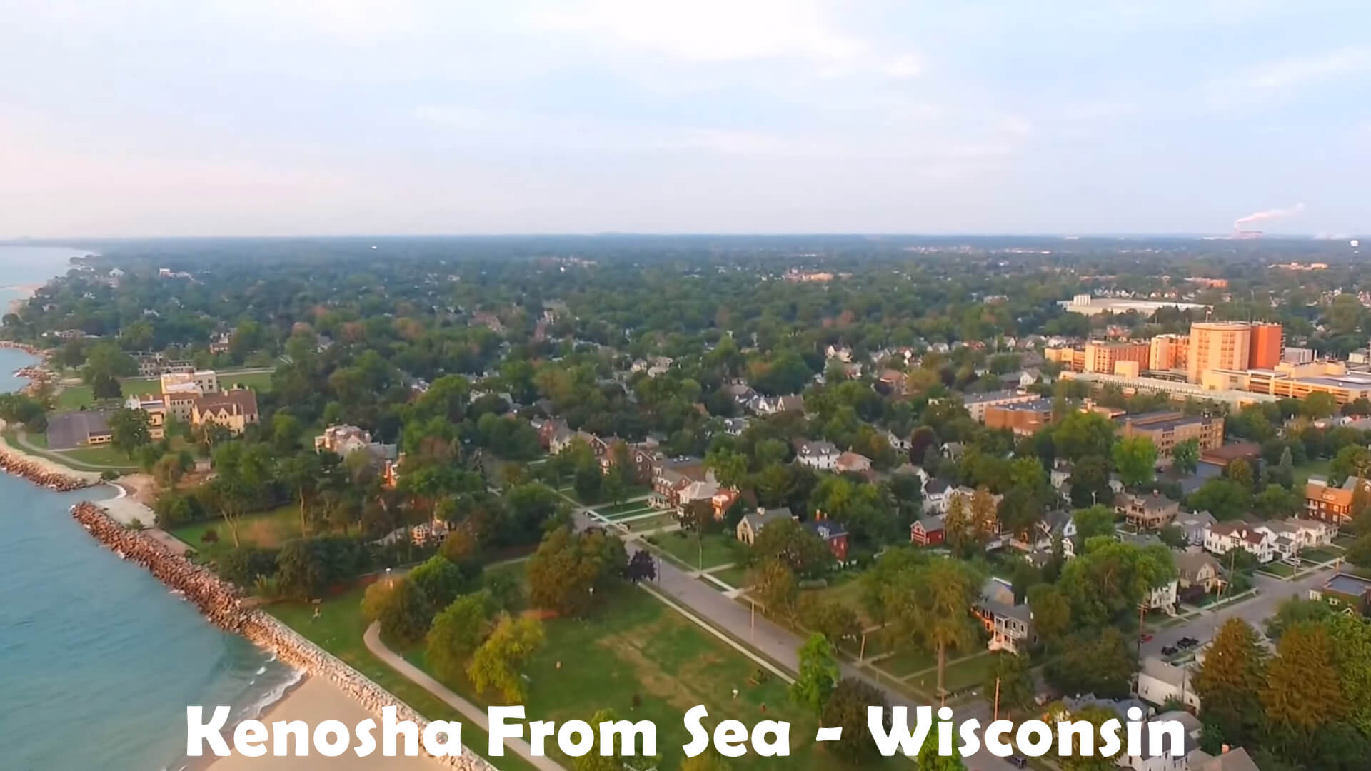
Kenosha From Sea - Wisconsin
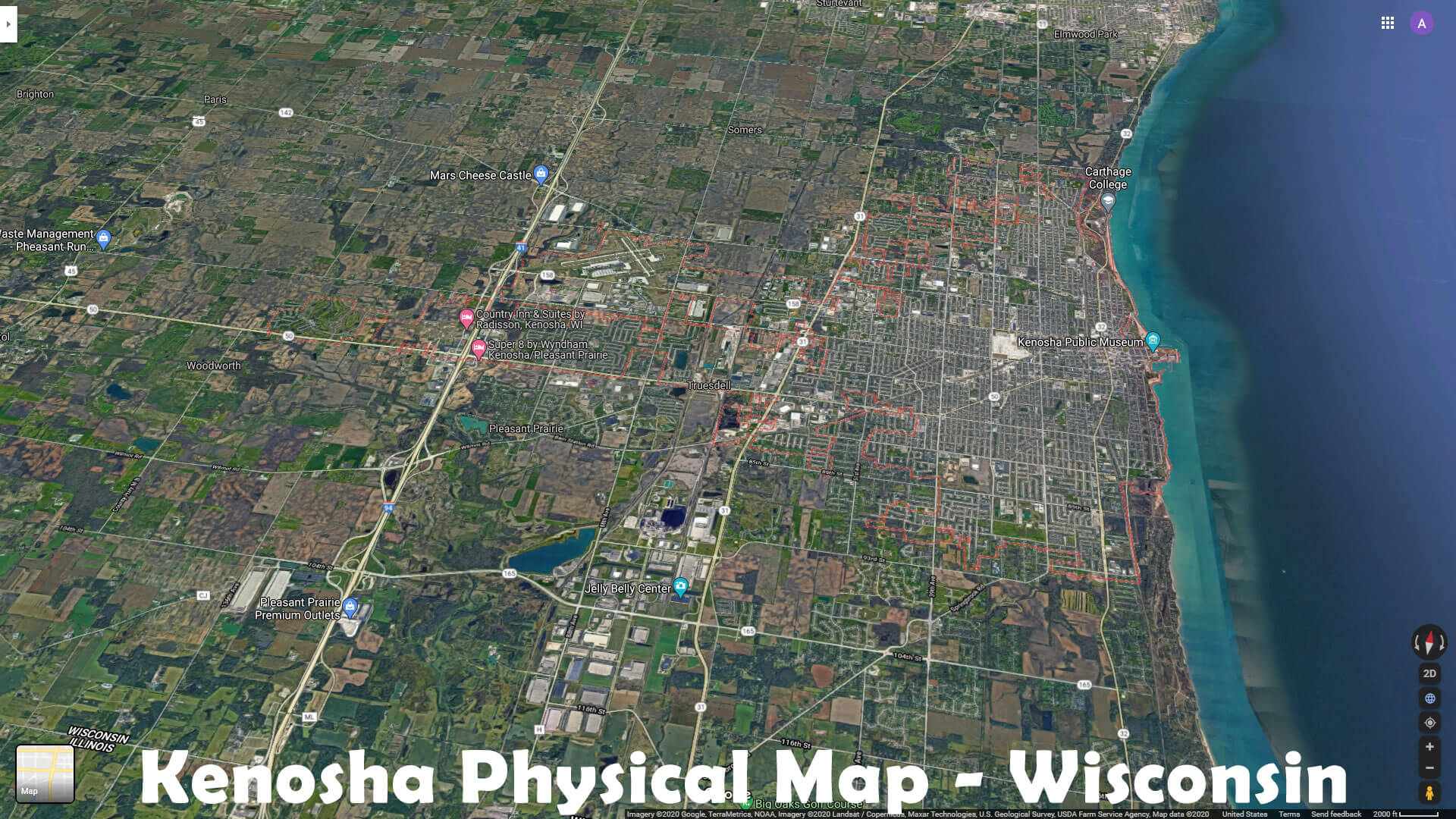
Kenosha Physical Map - Wisconsin
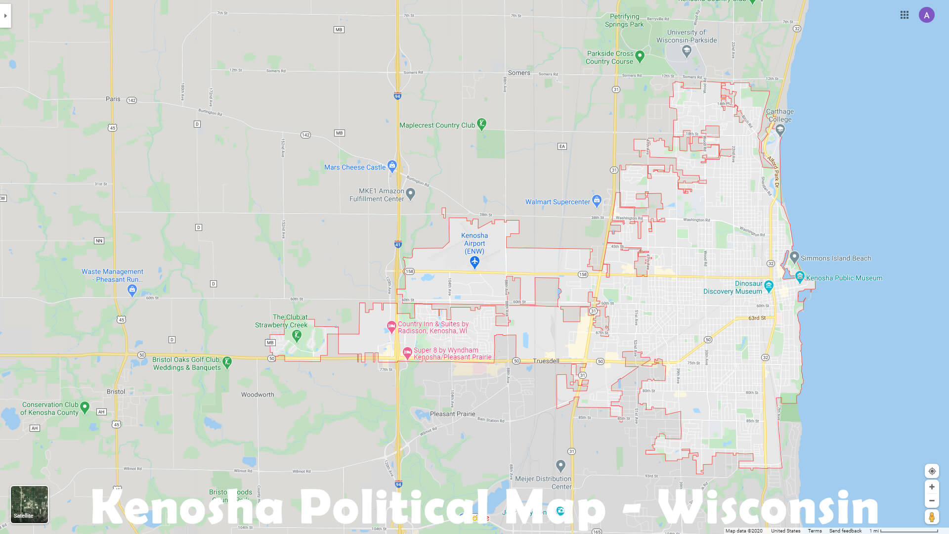
Kenosha Political Map - Wisconsin
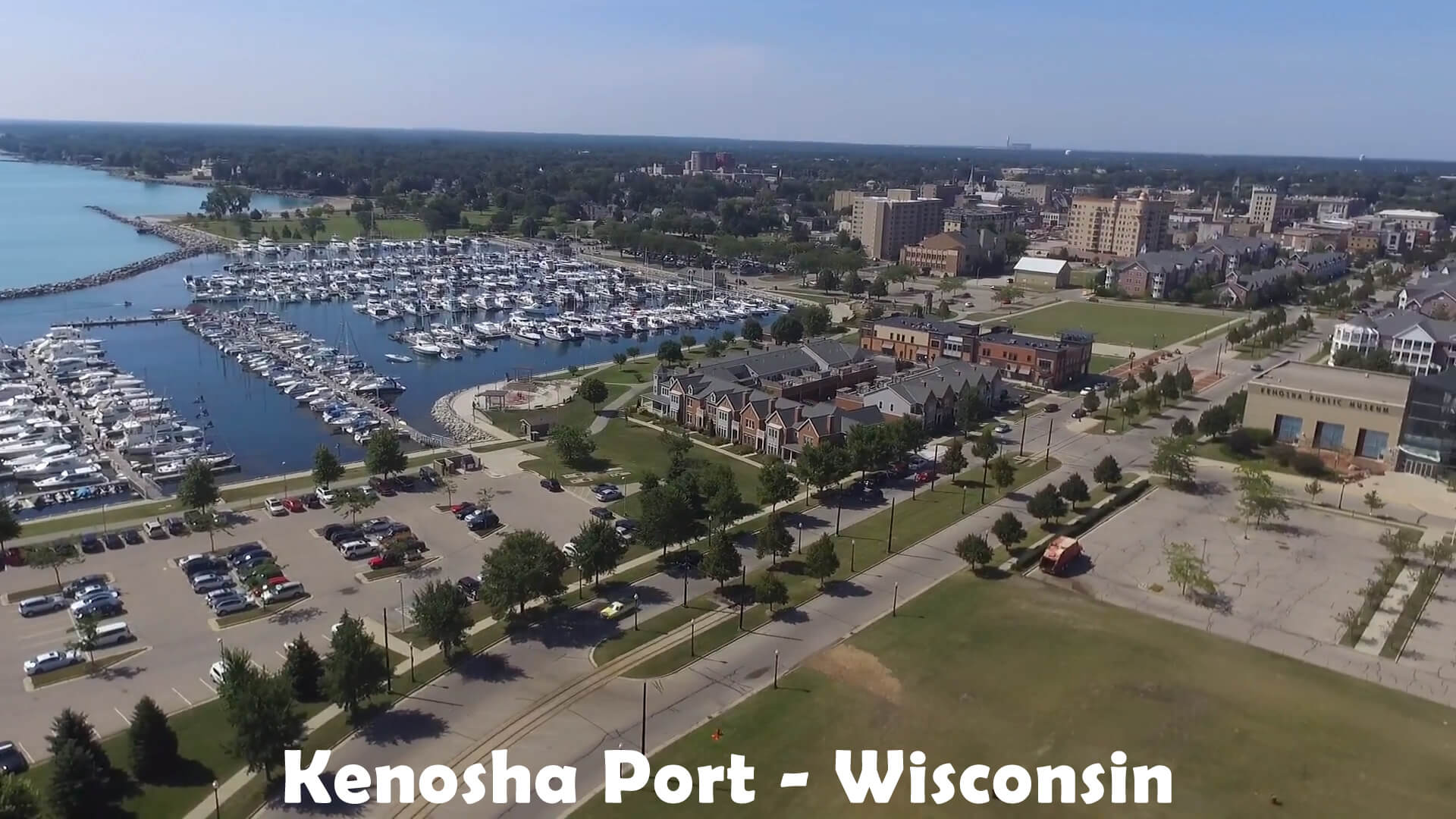
Kenosha Port - Wisconsin
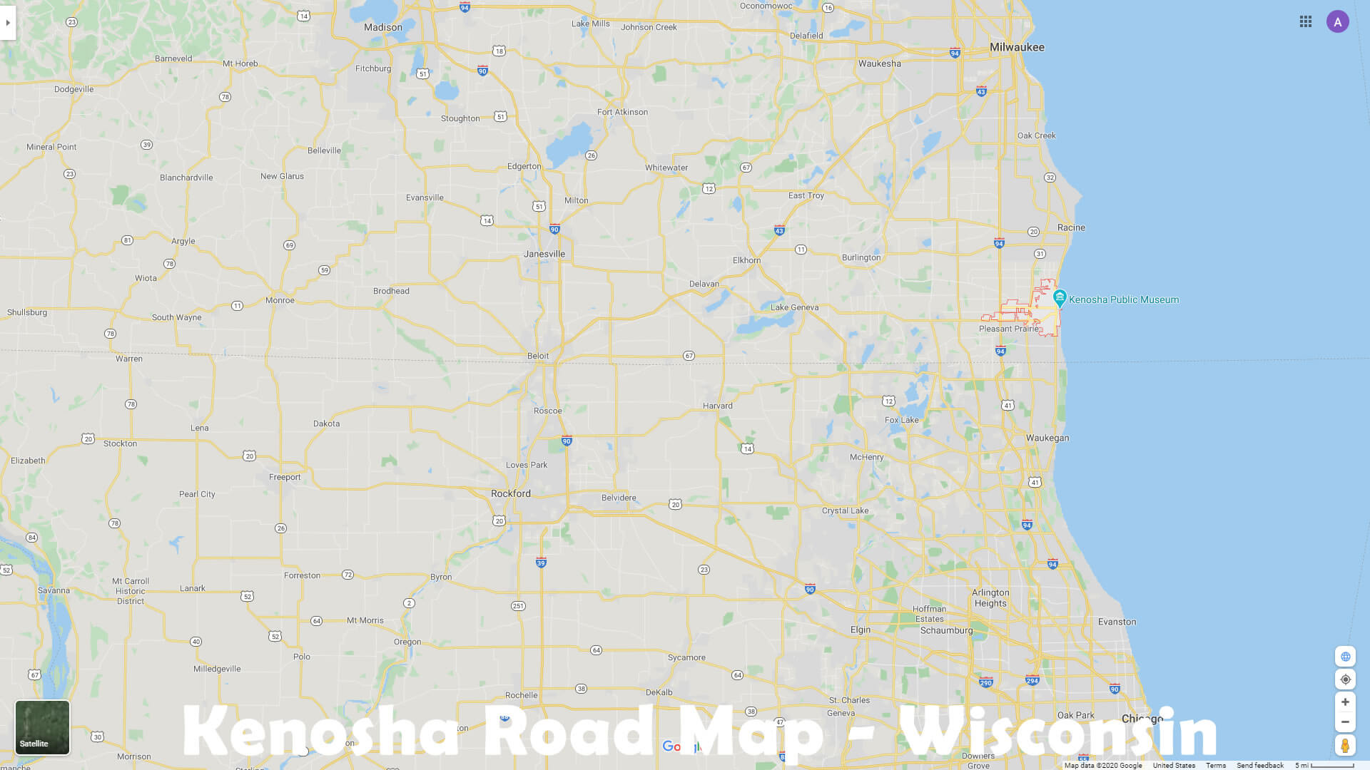
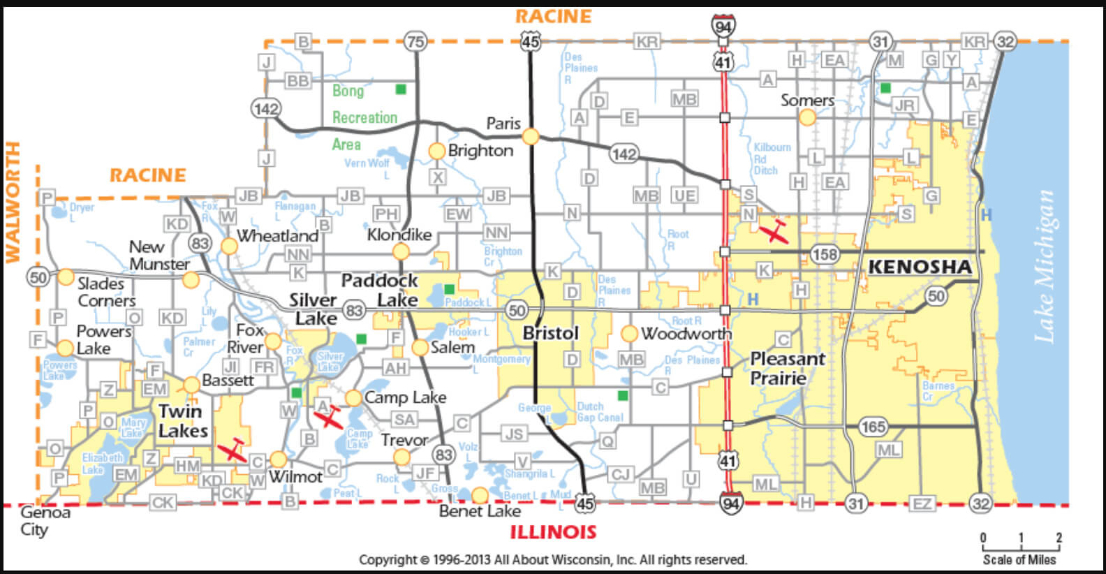
Kenosha Road Map - Wisconsin
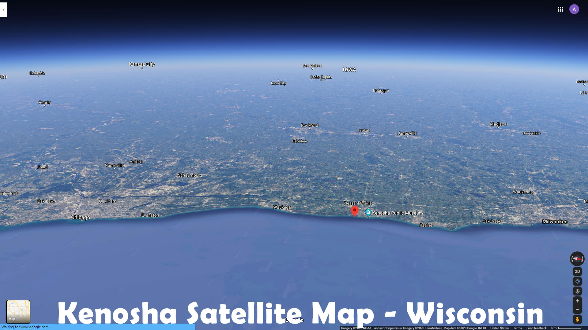
Kenosha Satellite Map - Wisconsin
Kenosha Street Map - Wisconsin
Kenosha Wisconsin - USA
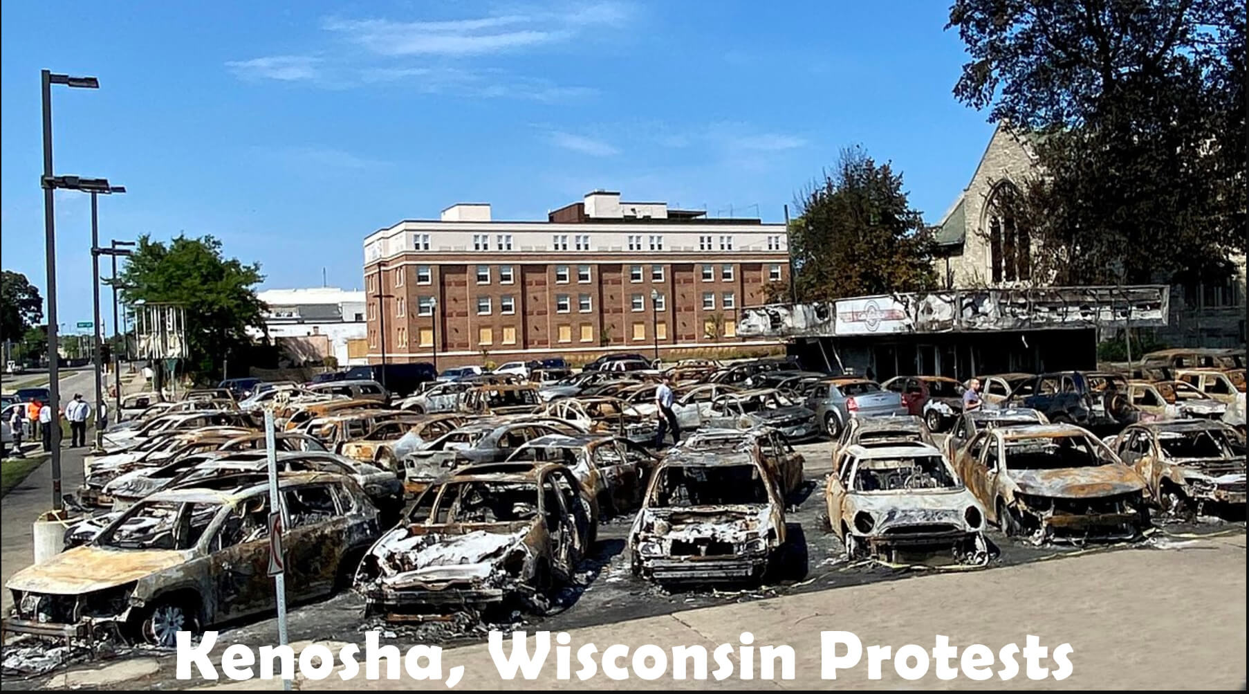
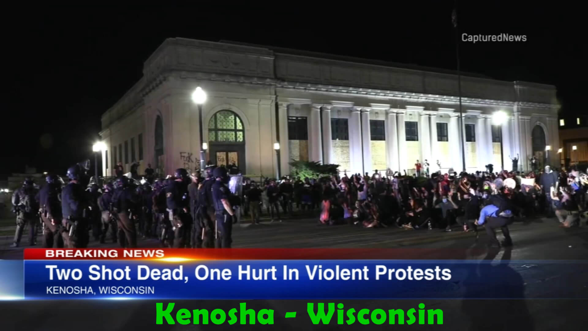
Kenosha Wisconsin Protests