Kiyikoy Map and Images
In the past Mussels, Kiyiköy which Medea with the old medieval name, Turkey's second Kirklareli Visa is a village in the district of the province.
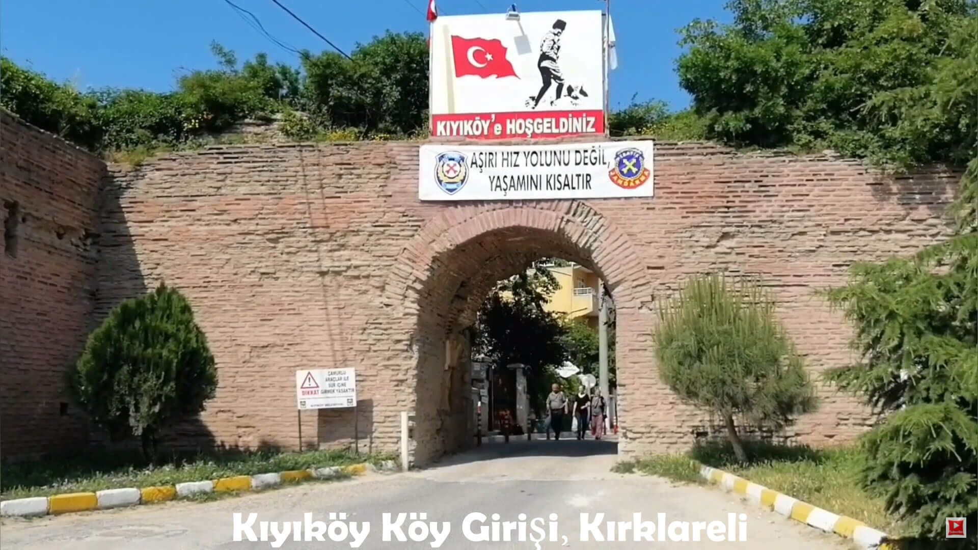
Kiyiköy is the place to eat in the Black Sea. It is 36 km from Vize district center and 95 km from Kirklareli city center. Is away. Kiyiköy gained municipal status in 1987. Entry and exit transactions to cities with Covid-19 epidemic travel restrictions can be made with the document issued by the travel permit line.
Click for Content Detail »
Kiyikoy Useful Info
Kiyikoy Mayor: Ismail Gok (CHP)Postal Code: 39480
Population: 2,077 (2010)
Province: Kirklareli
Area Code: 288
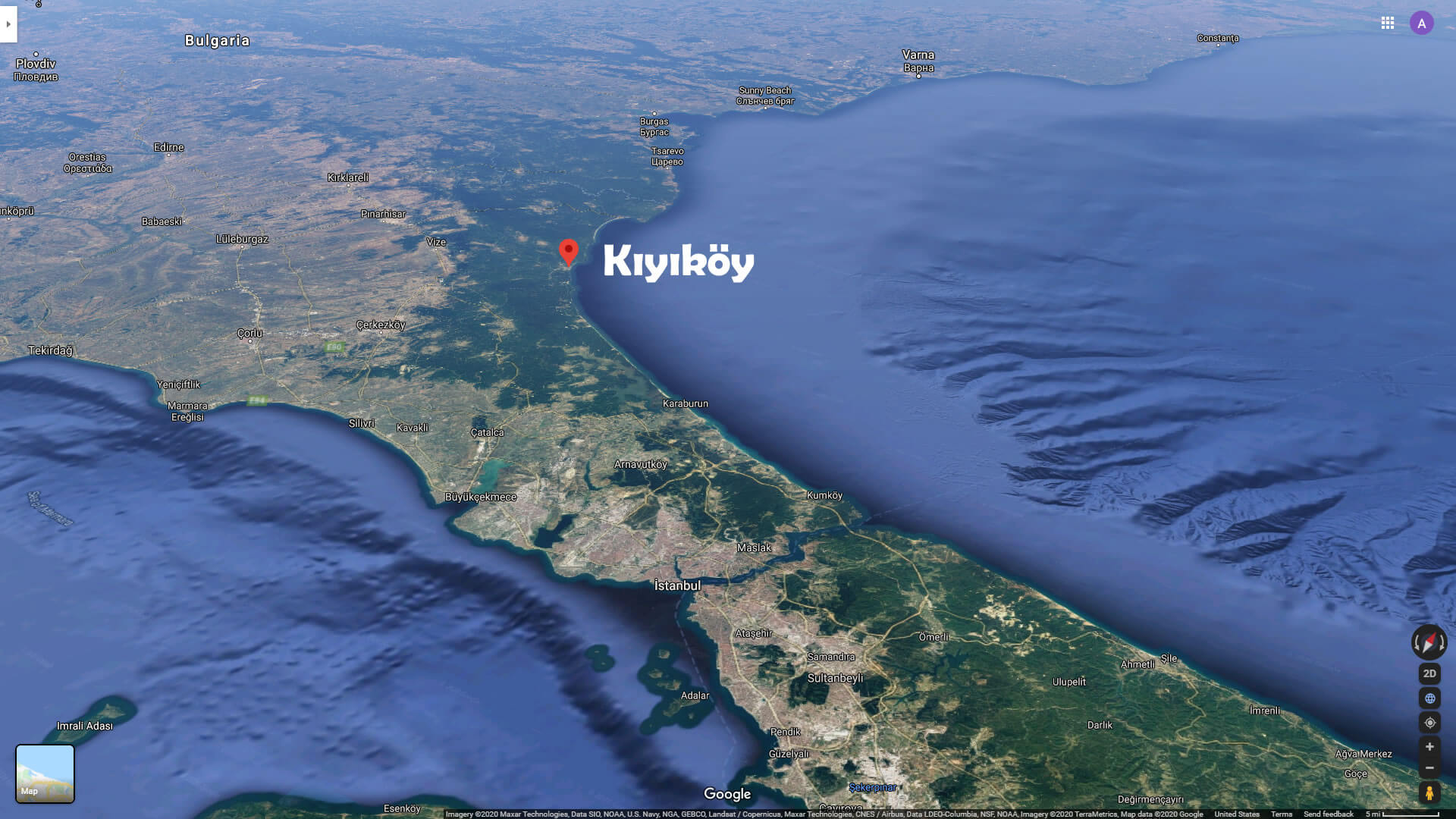
 Kiyikoy is a coastal town that stands out with its natural beauty, within the borders of Kirklareli province and connected to Vize district.
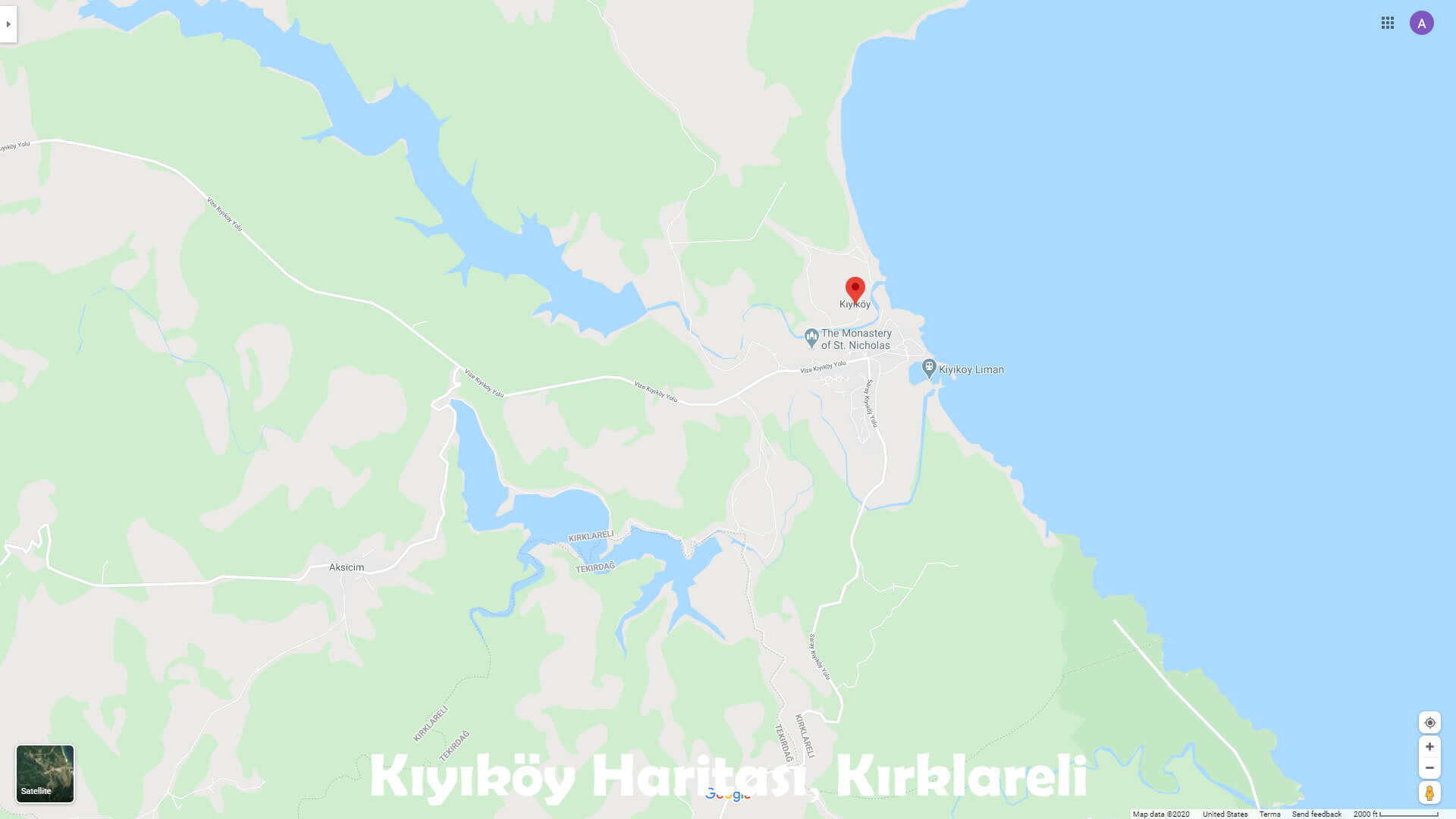
Kiyikoy Kirklareli Satellite Map
 It became a municipality in 1987 and according to the census in 2015, the total population is 1948 people, 933 women and 1015 men.
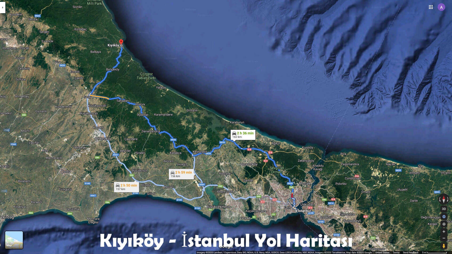
Kiyikoy - Istanbul Road Map
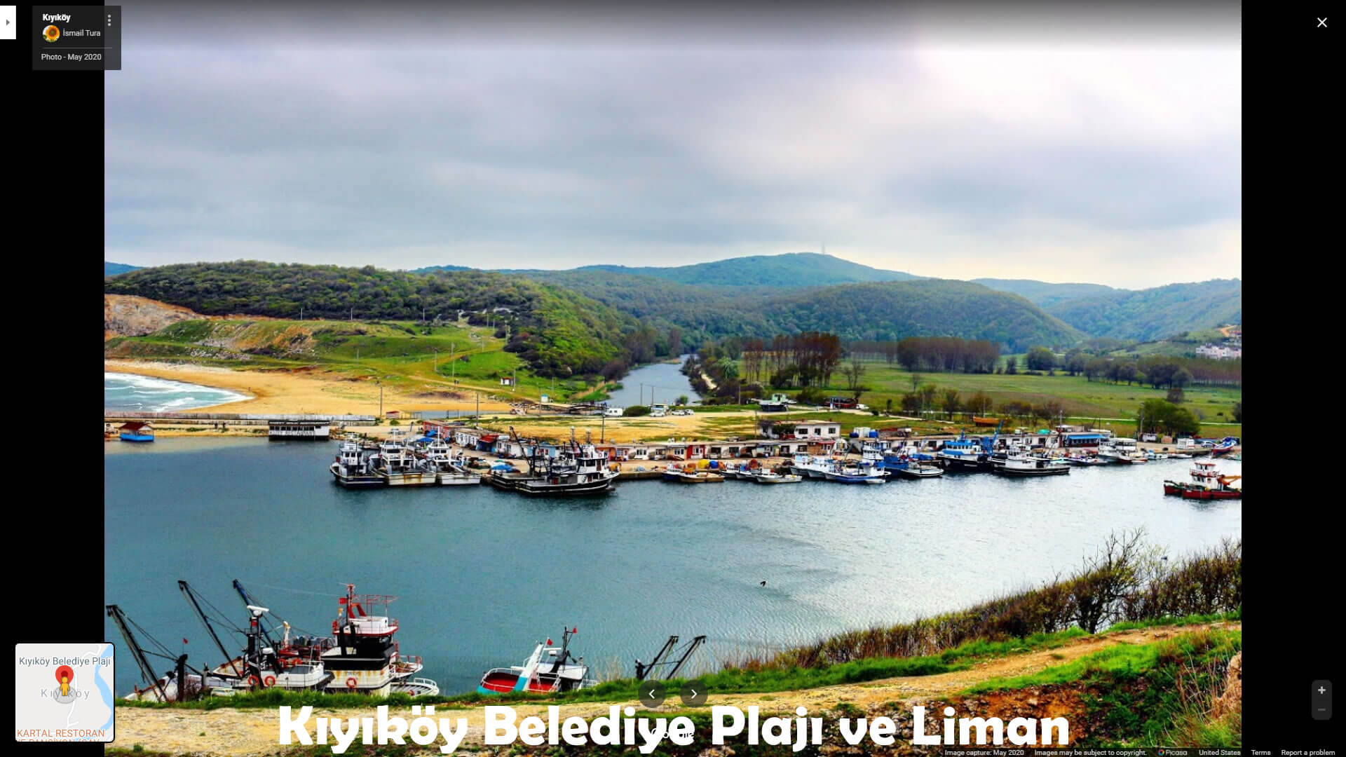
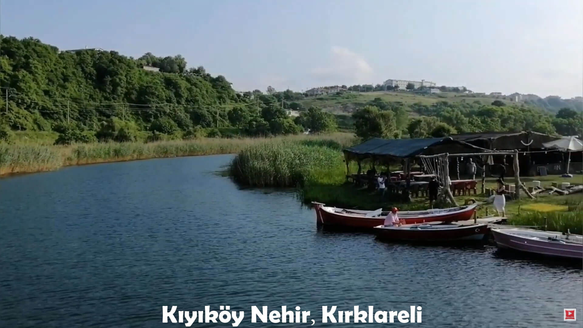
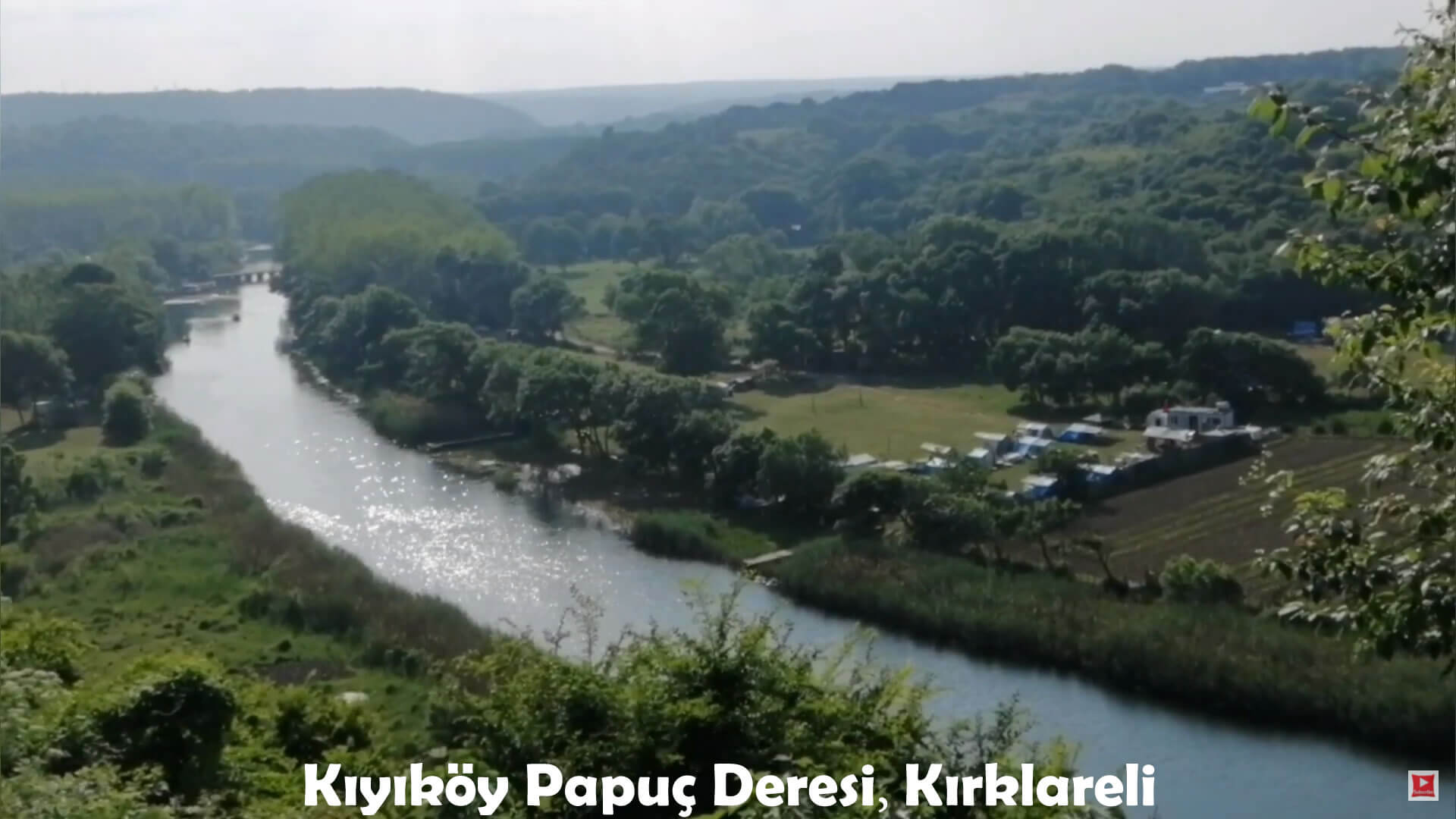
 This town on the Black Sea coast is surrounded by forests, and the Pabuçdere and Kazandere streams flow into the Black Sea from this town. The livelihood of the local people is fishing and forestry.
Kiyikoy Map, Kirklareli
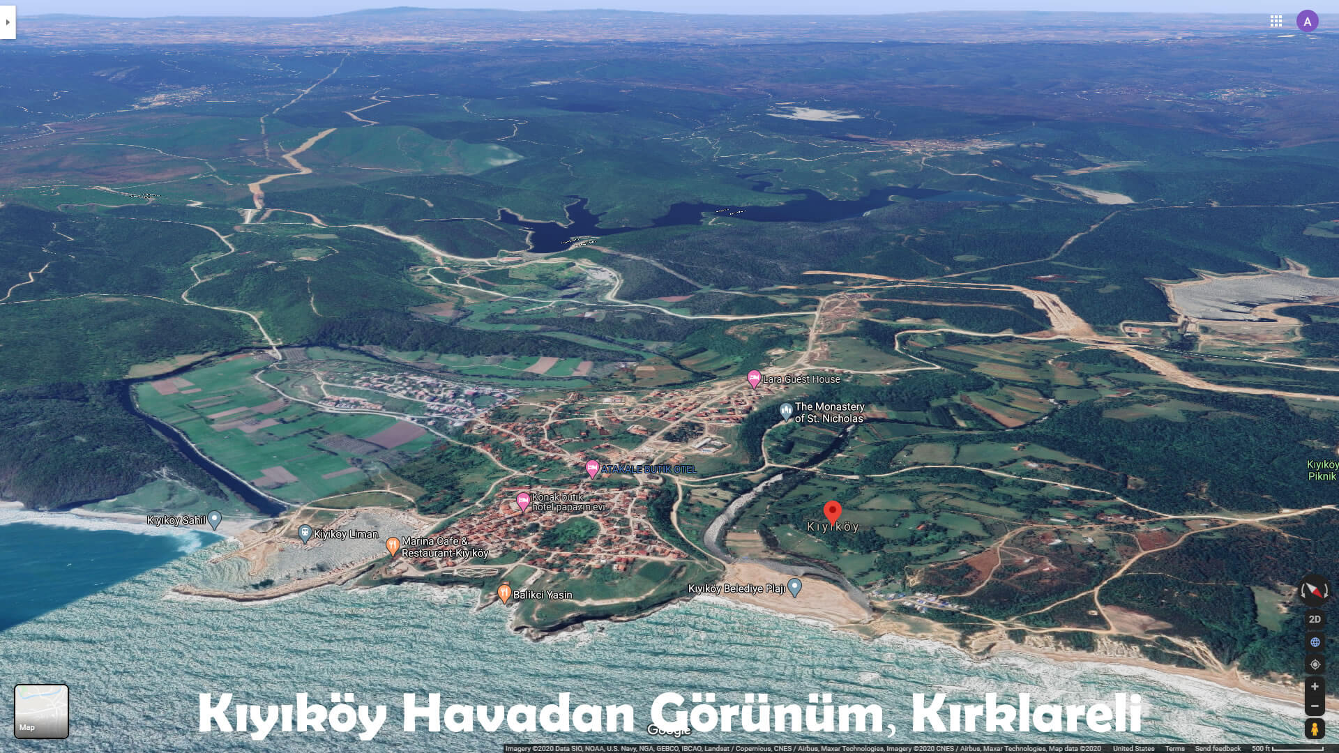
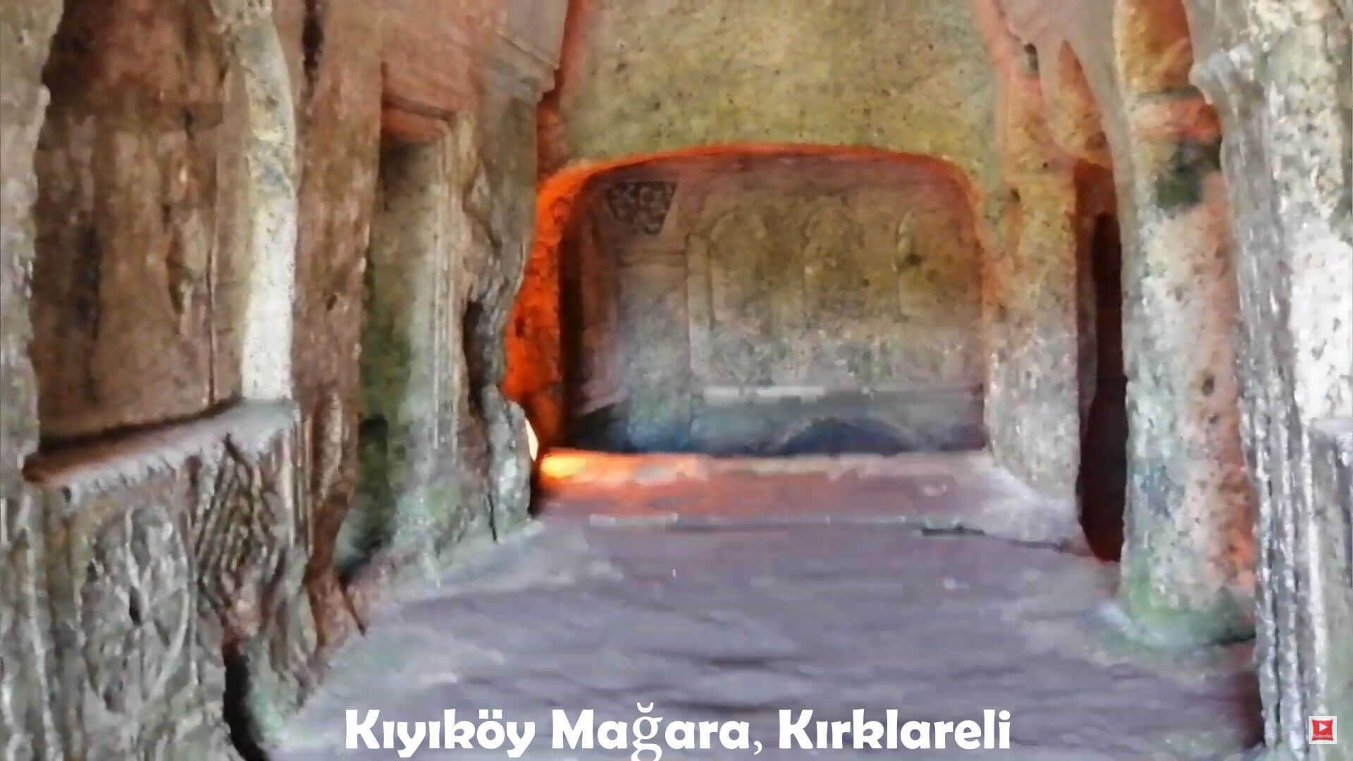
 Aya Nikola Monastery, one of the oldest stone carving monasteries in the world, is here. It is suitable for daily tours or excursions from Istanbul. Bahçeköy near the town is famous for its water buffalo yoghurt.
Kiyikoy Aerial View, Kirklareli
Turkish Stream Pipeline, Kiyikoy
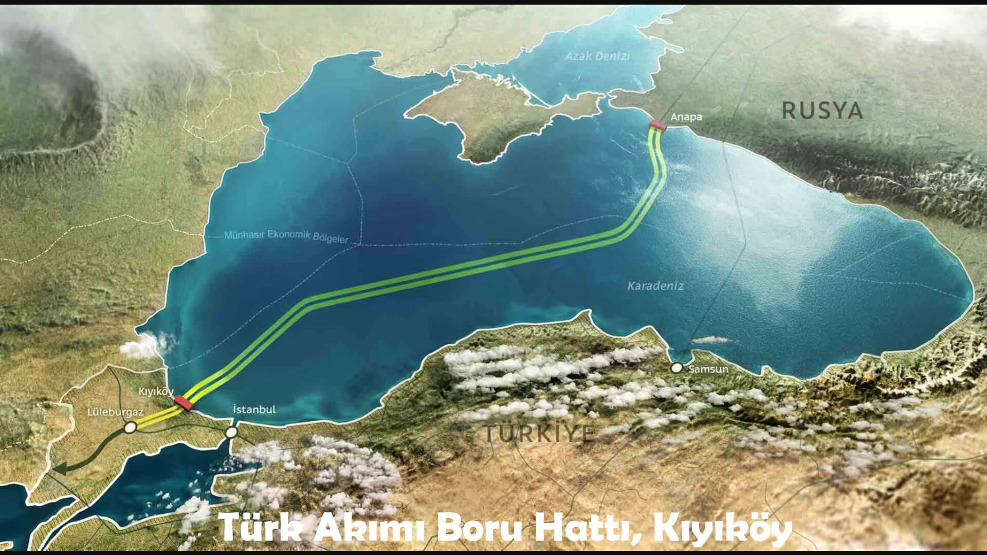 Current output from the coast of Turkey under the Black Sea from Russia to Turkey to transfer the planned natural gas pipeline project is scheduled to be here.
Kiyikoy Cave, Kirklareli
Kiyikoy River, Kirklareli
Kiyikoy Papuc Creeki, Kirklareli
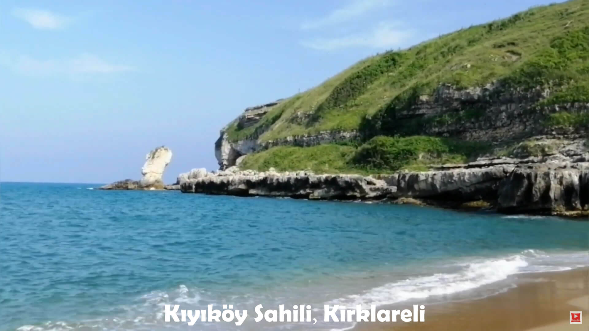
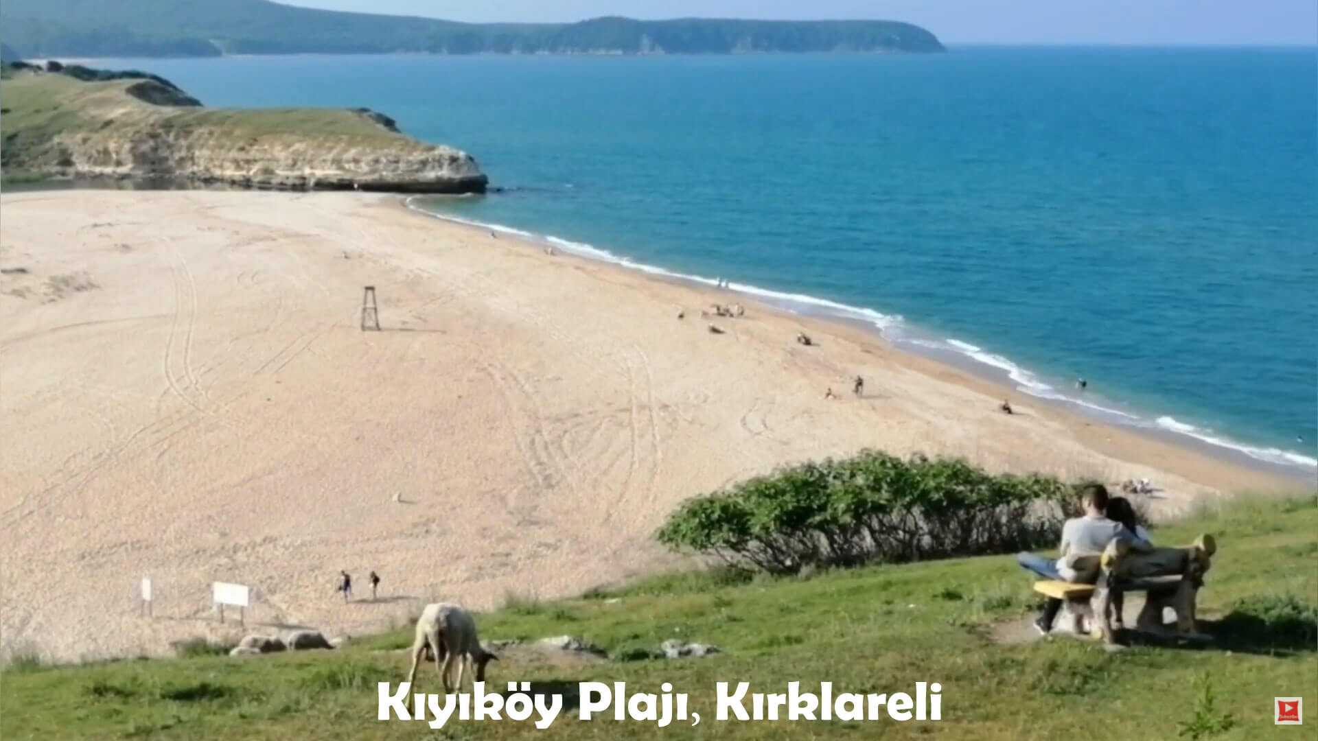
Kiyikoy Beach, Kirklareli
Kiyikoy Coast, Kirklareli