US Political Map with Capital Washington, Most Important Cities Rivers and Lakes
US Physical Map with Mountainous Regions, US Plate Map, US Political Map with Capital Washington - Most Important Cities Rivers and Lakes, US Road Map with States, US Satellite Image in the Night, US States and Canada Territories Map, USA Administrative Map with State Names, USA Map with Federal States, USA Map with States, and more maps, satellite images...
Click for Content Detail »
Free Printable High Detailed United States Map with States
Please subscribe on "World Guide" channnel on Youtube at youtube.com/c/WorldGuide
US Physical Map with Mountainous Regions

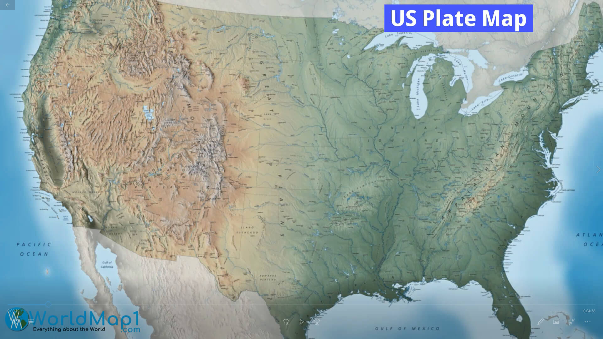
US Plate Map
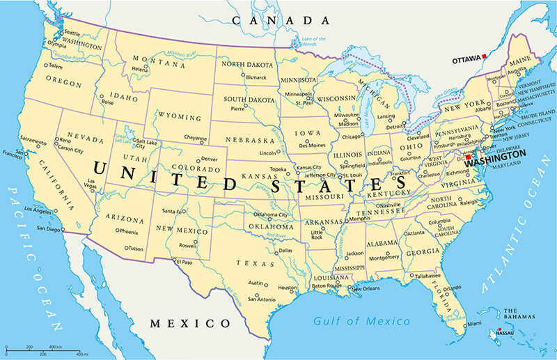
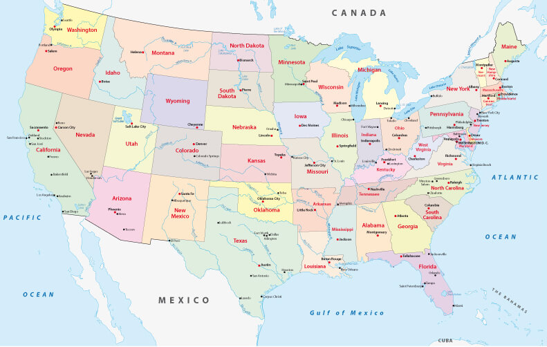
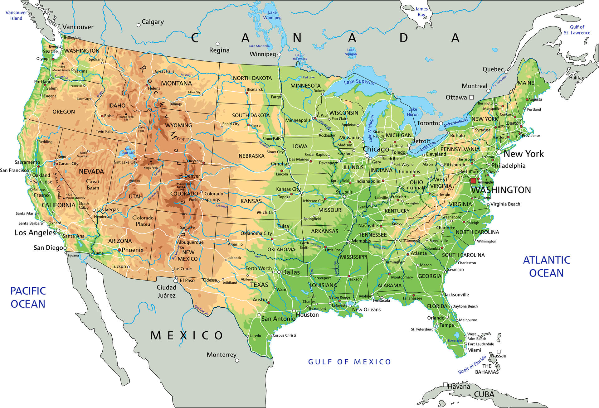
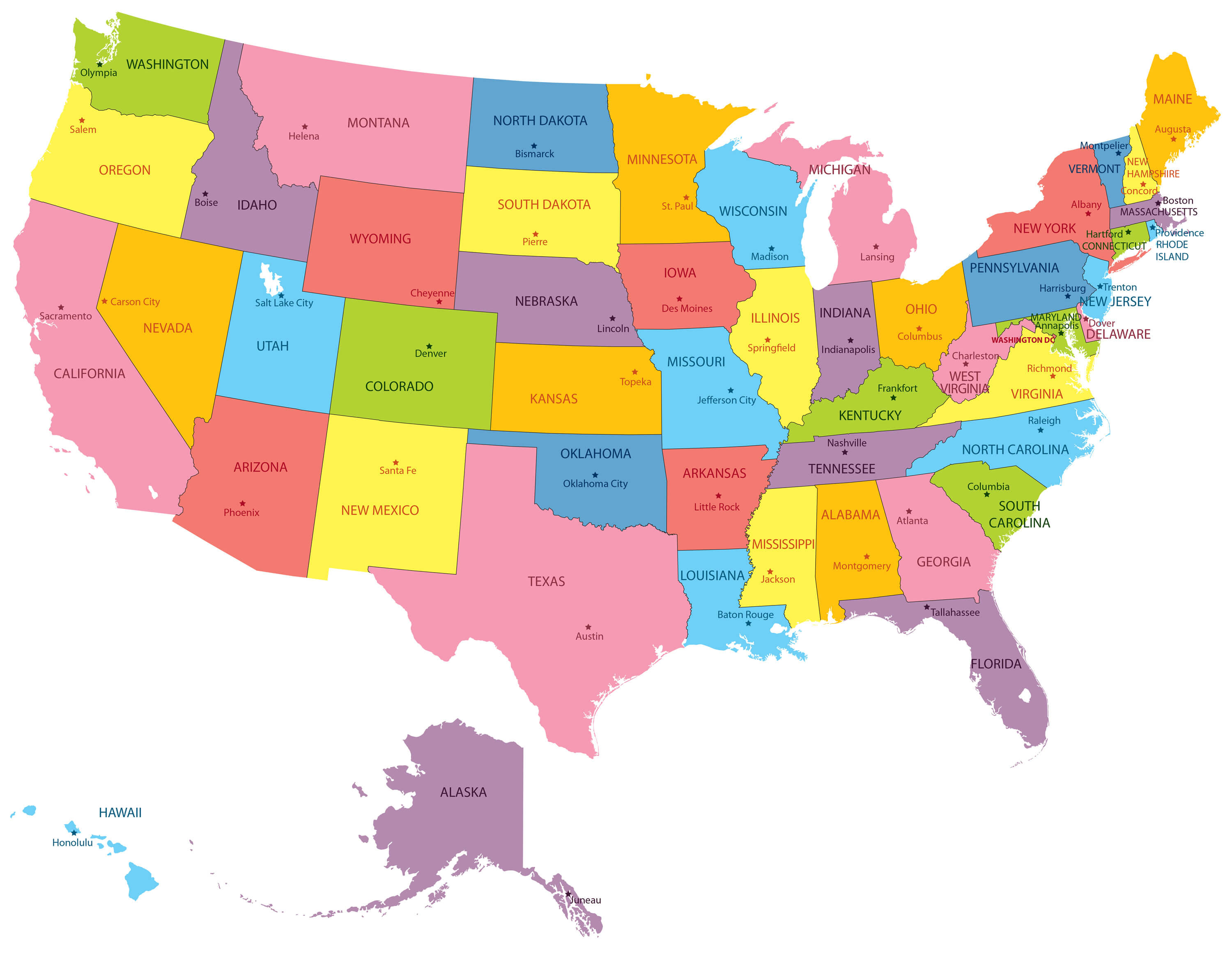
US Political Map with Capital Washington - Most Important Cities Rivers and Lakes
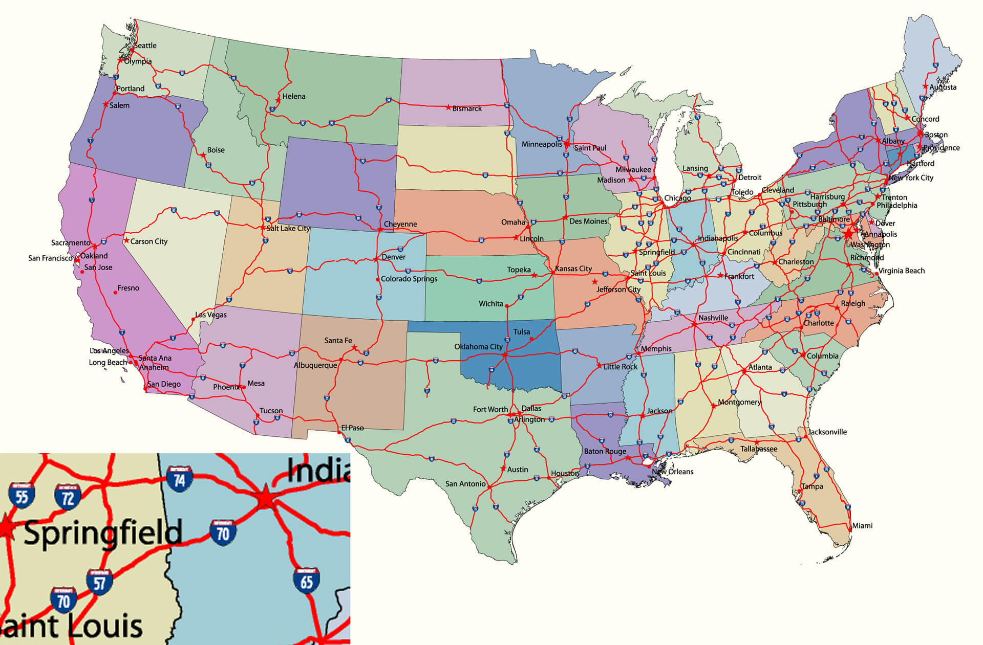
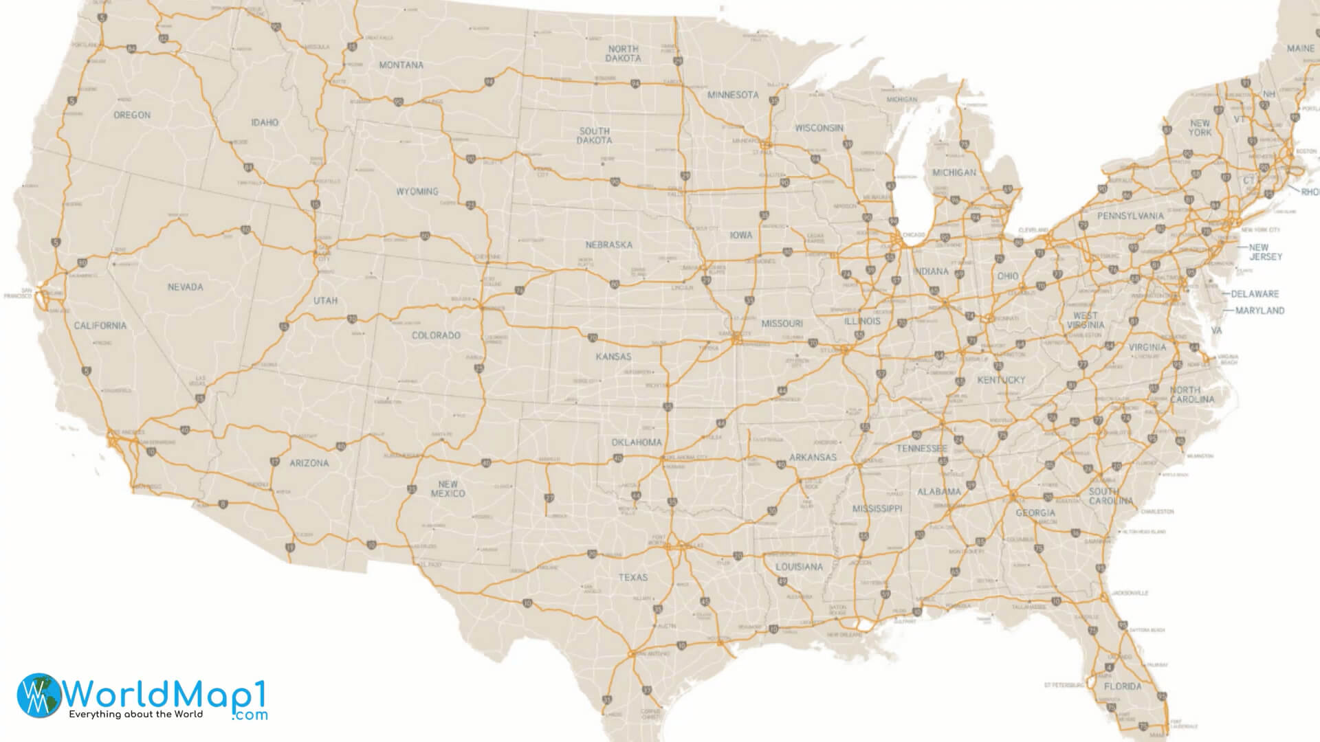
US Road Map with States
Please view more USA Maps
High Detailed United States of America Road Map Large Color Map of the USA Free Printable United States Map with States The Map of The United States United States Earth Map and Satellite Images US Interstate Highway Map with Major Cities US Political Map with Capital Washington, Most Important Cities Rivers and LakesUS Satellite Image in the Night
US States and Canada Territories Map
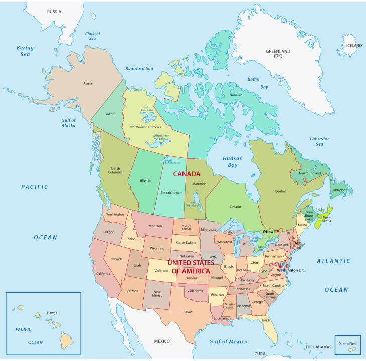
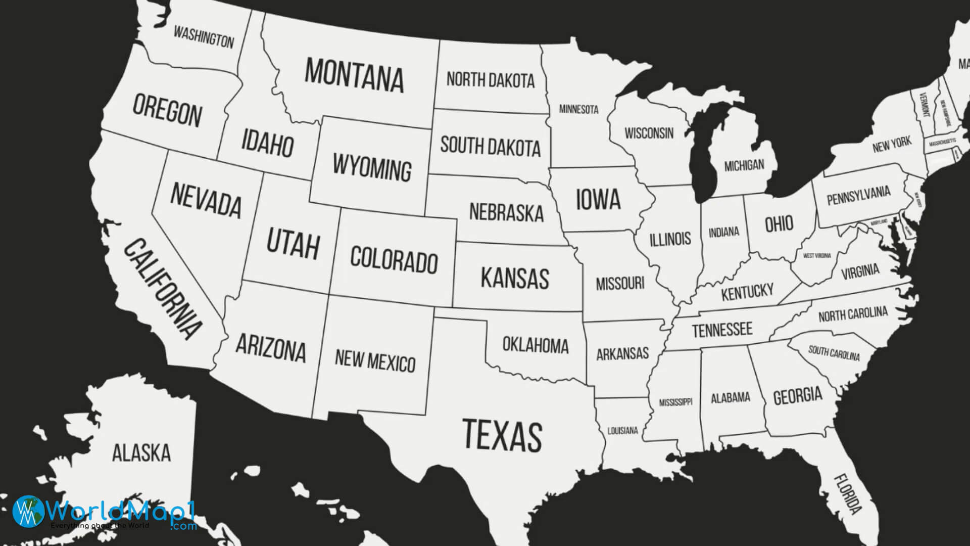
USA Administrative Map with State Names
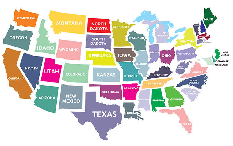
USA Map with Federal States
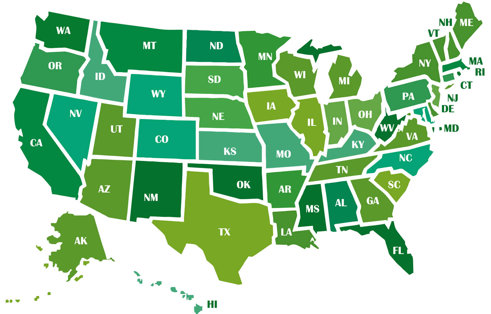
USA Map with States
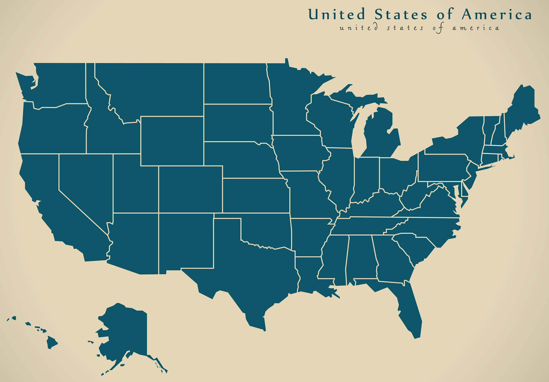
USA Outlined Blank Map with States
US Geography Map with Mountains and Valleys
The US Map with States
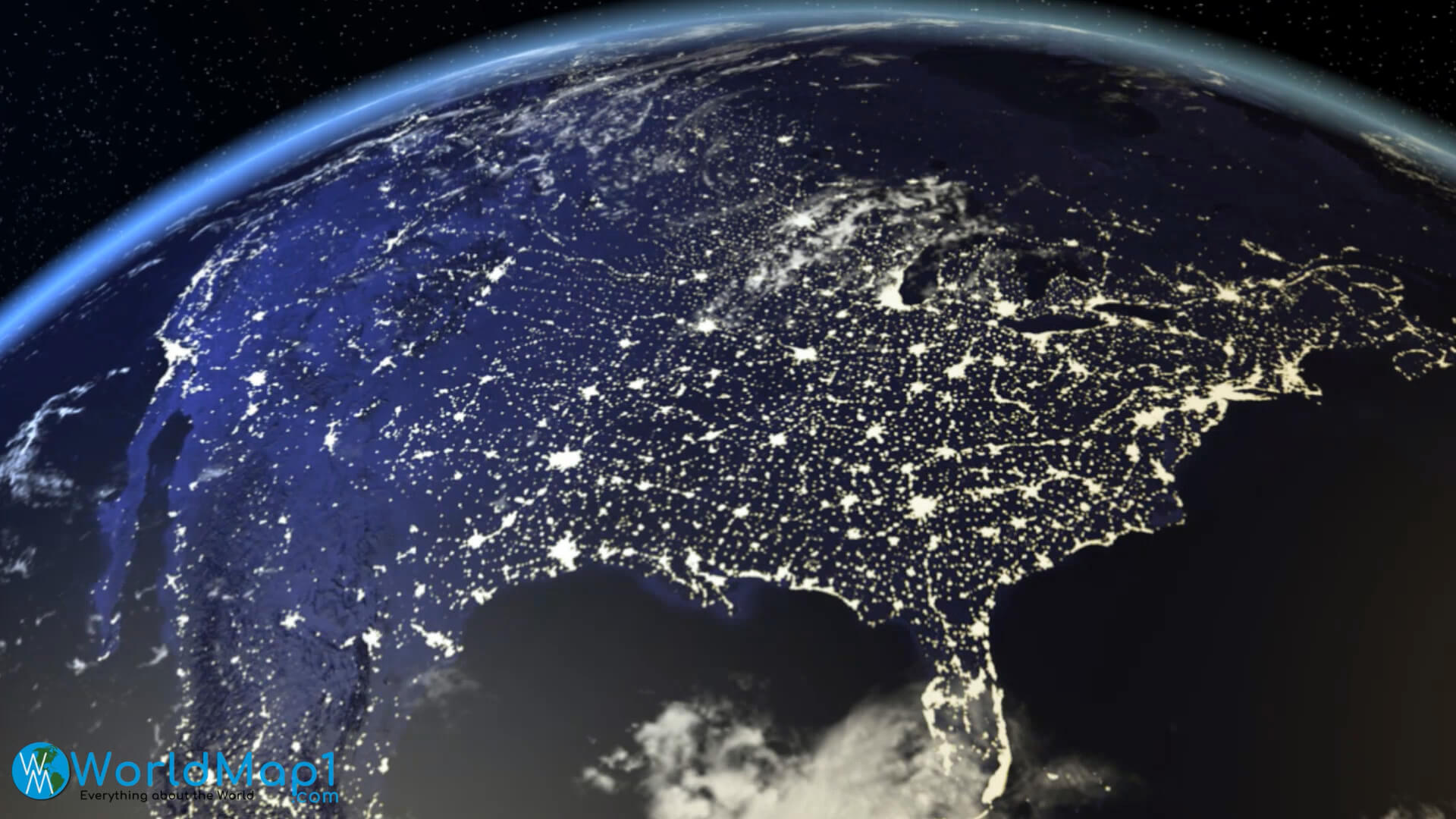
US Satellite Map from Space

Vector Illustration of a High Detail USA Map
Vector Road Map of Conterminous USA with Separable States