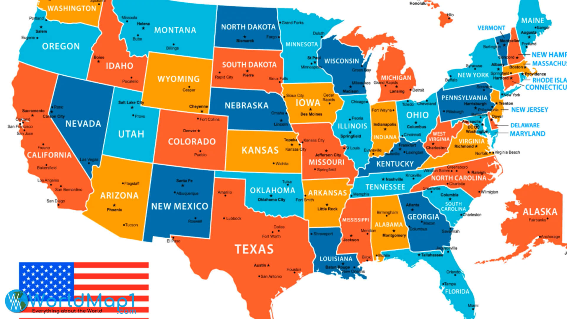
Where is Located Florida in the US and Cities Map of Florida
Where is Located Florida in the United States. Take a look at interesting varieties map of Florida. Exploring Florida cities, natures, cultures, and regions.
Florida State Road Map, Florida Touristic Map, Gulf of Mexico and Florida Map, Interstate Roads Map of Florida, Miami Location Map in Florida, State Map of Florida, Where is Located Florida in the US and more maps, photos, satellite images...
What are the Largest Cities in the US and World by Population ?
US Largest Cities Map World Largest Cities Map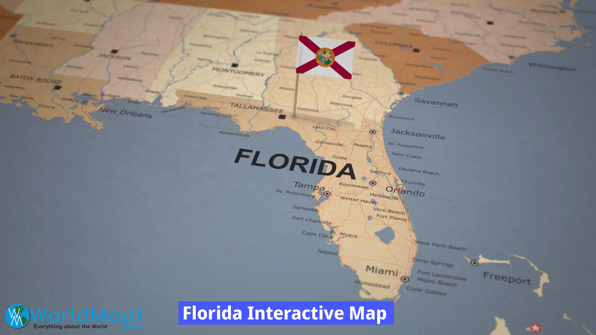
Click for Content Detail »
Where is Florida in the US and Cities Map of Florida
Please subscribe on "World Guide" channnel on Youtube at youtube.com/c/WorldGuide
Florida State Road Map
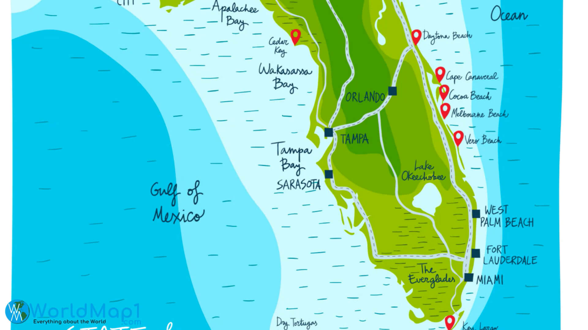
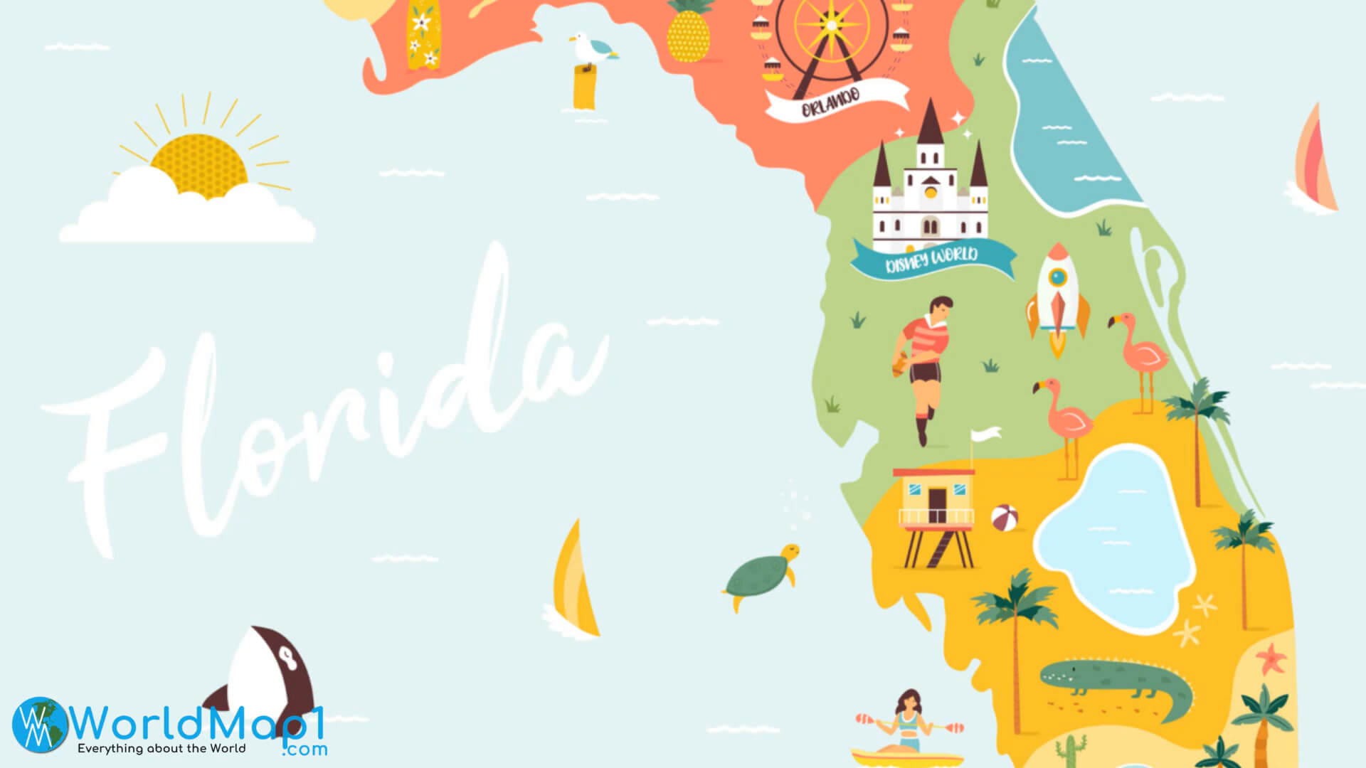
Florida Touristic Map
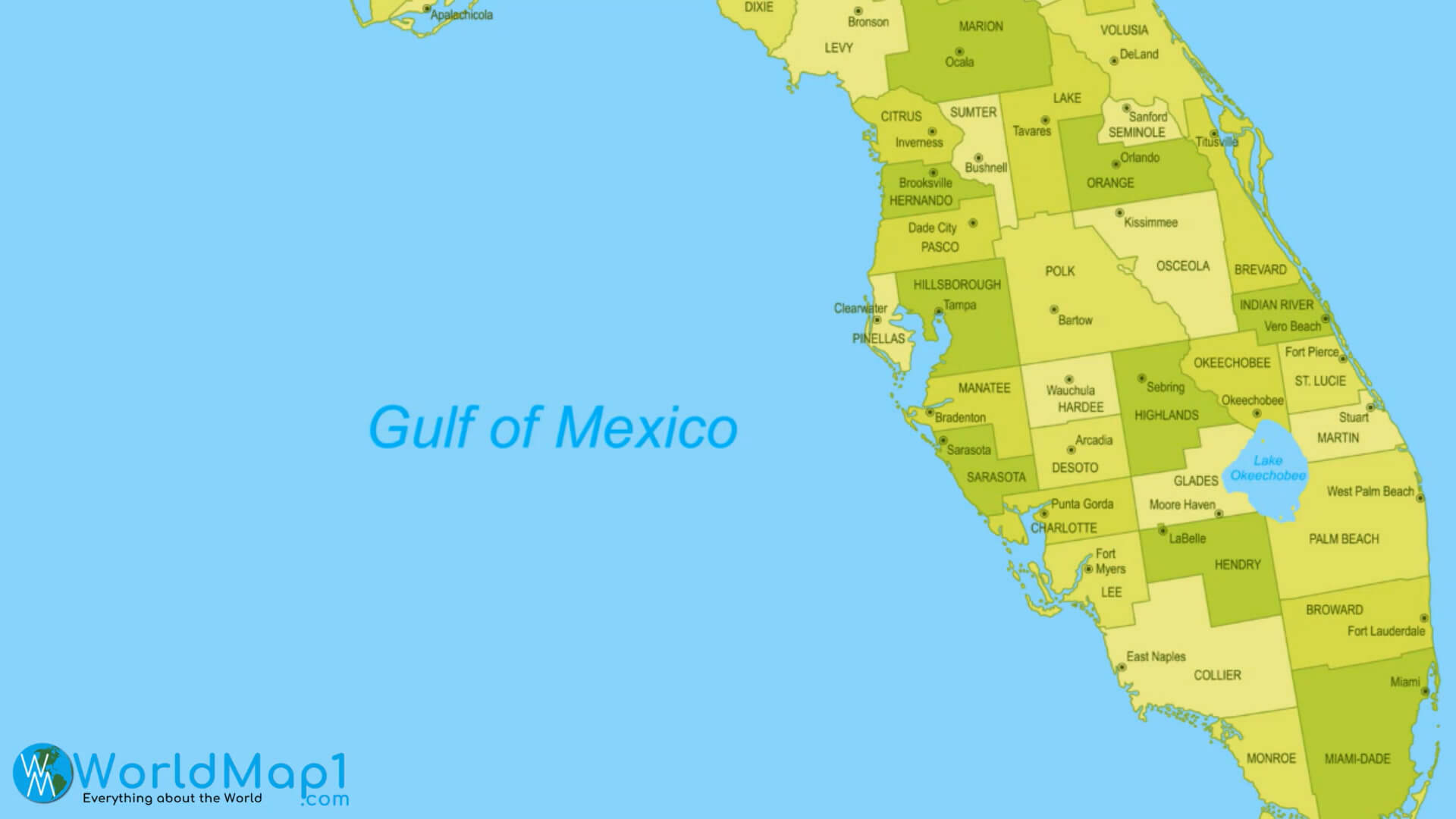
Gulf of Mexico and Florida Map
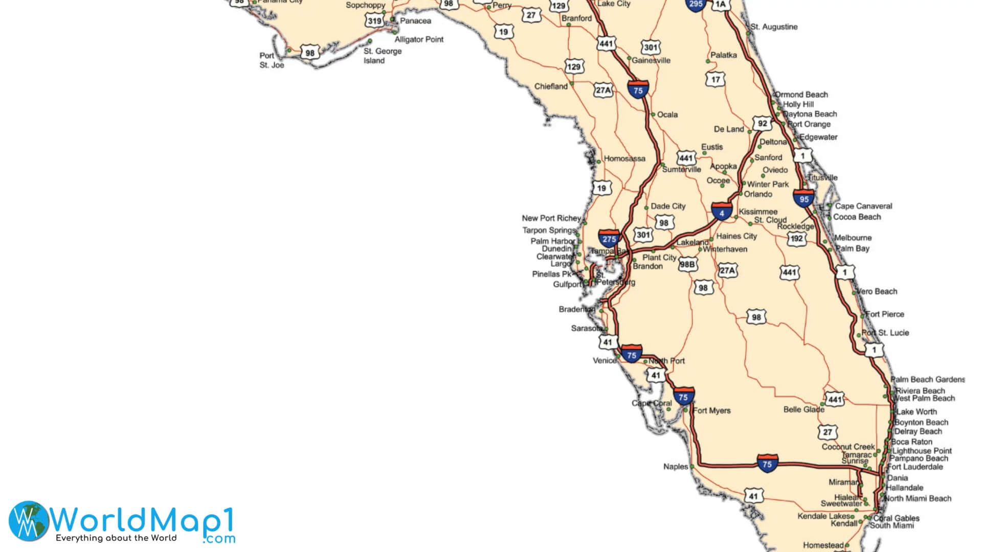
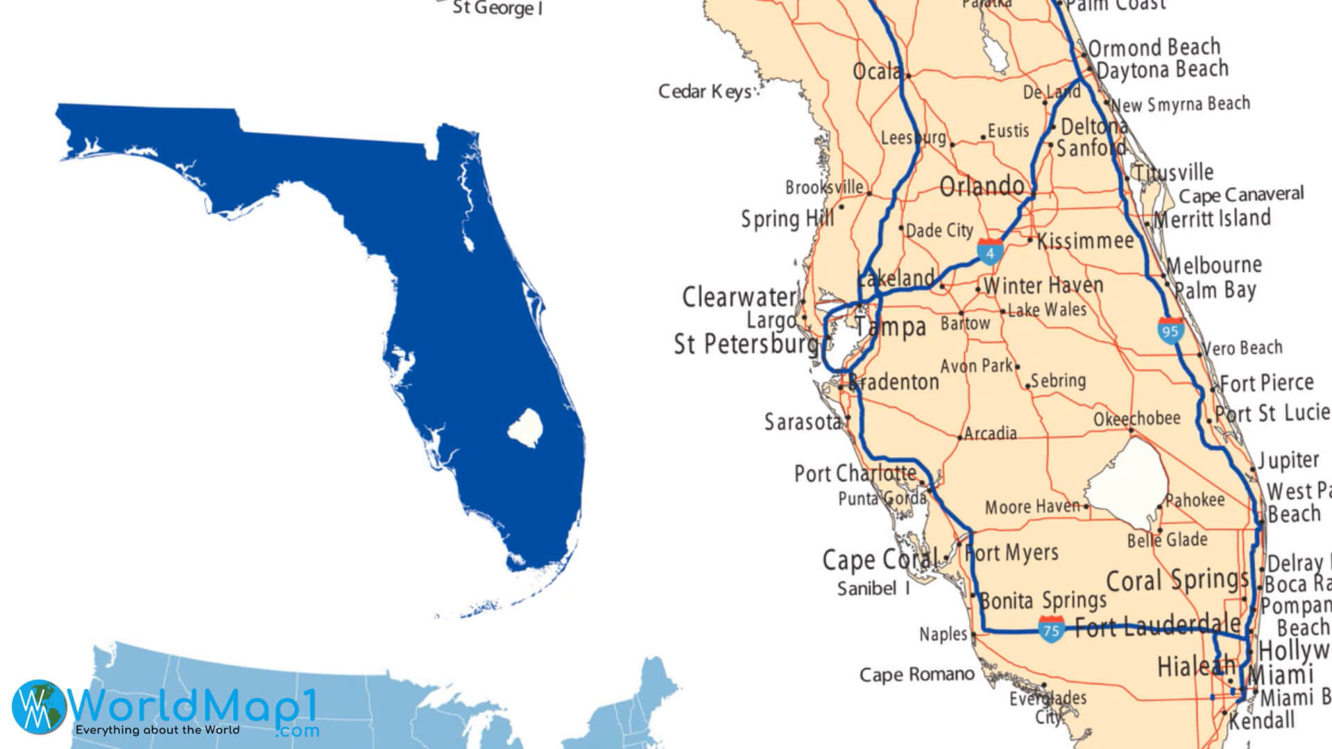
Interstate Roads Map of Florida
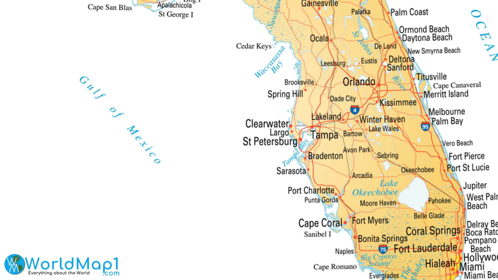
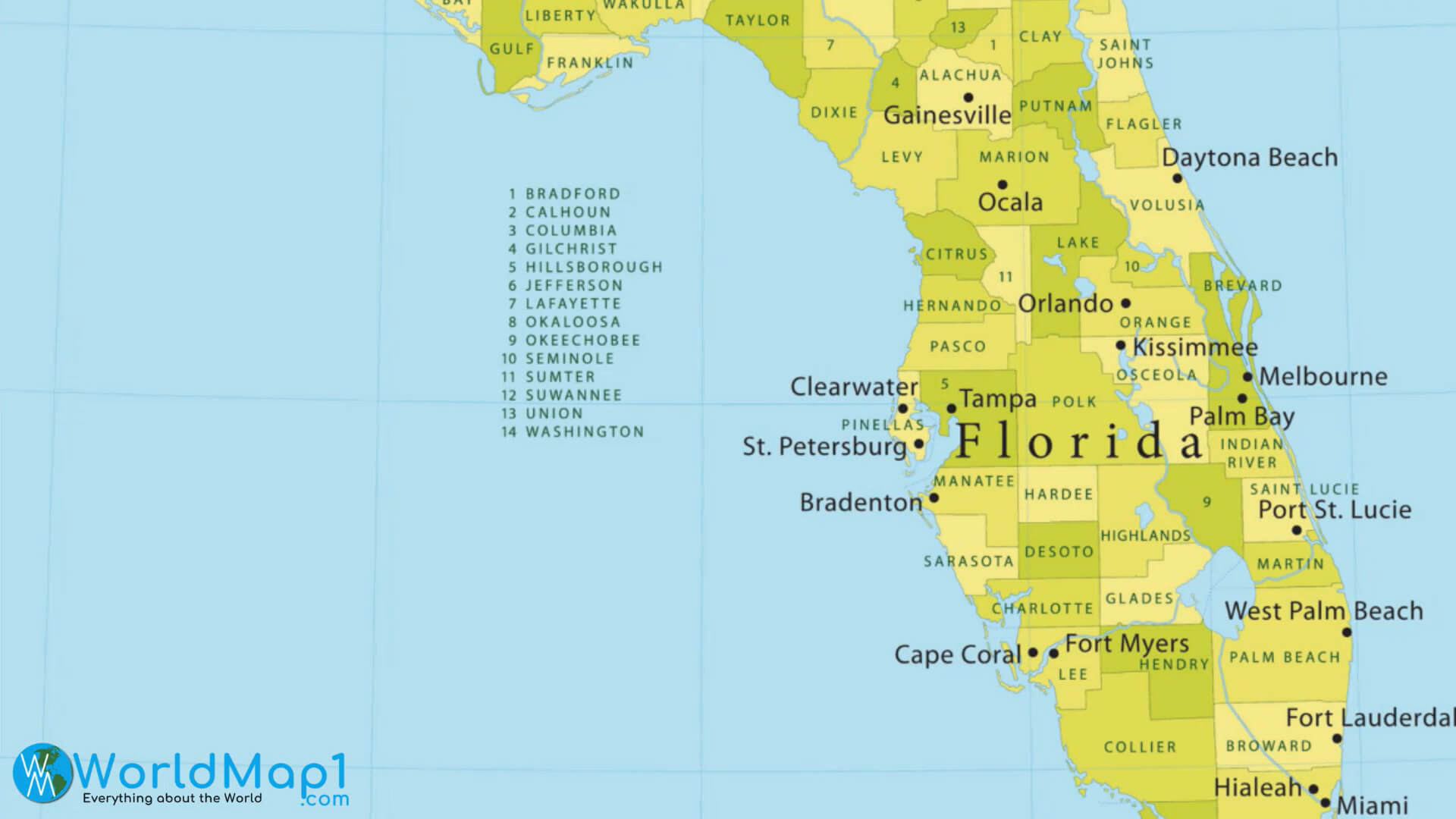
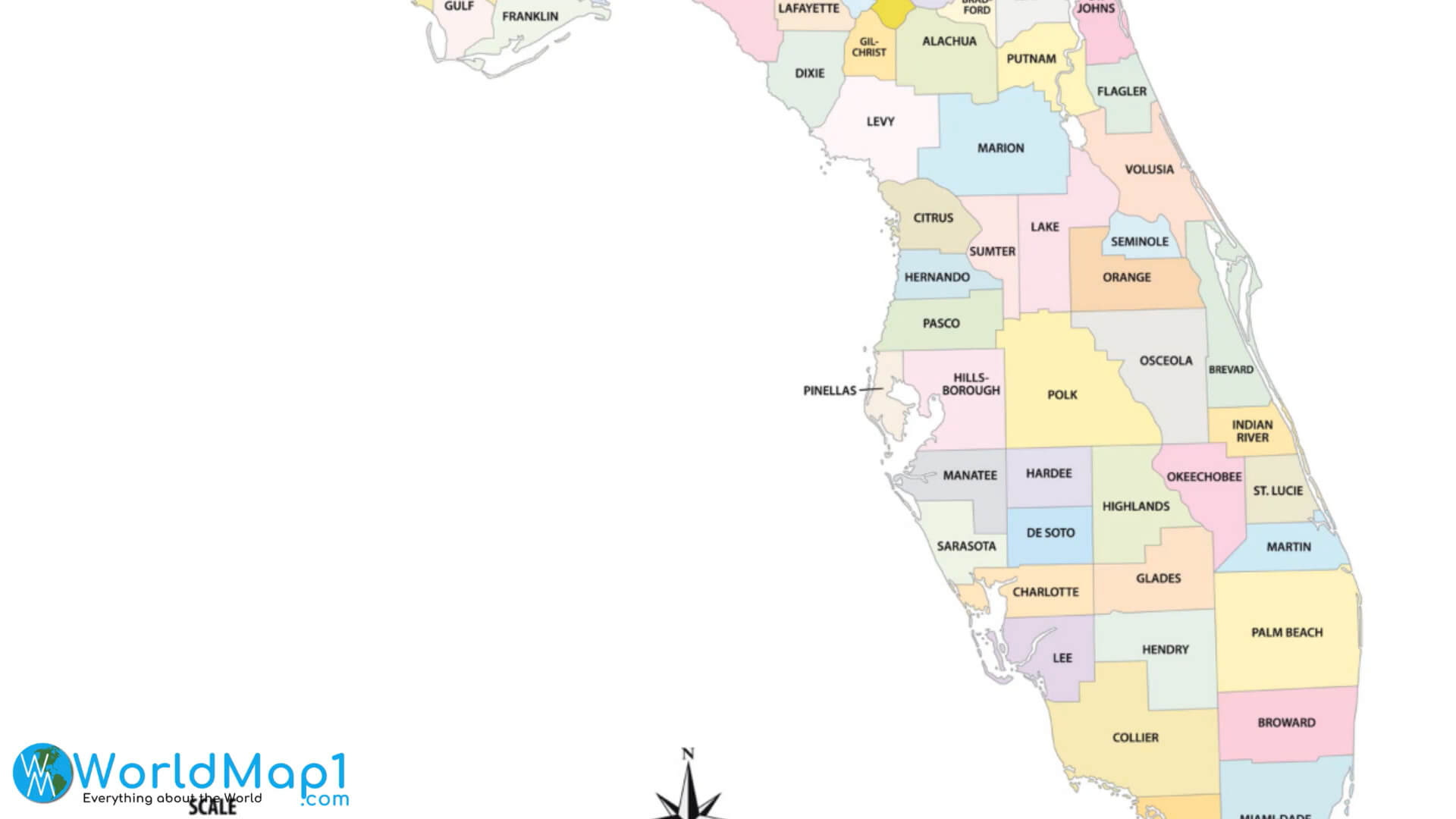
Major Cities Map of Florida with Lakes and Rivers
Please view more Florida Cities Aerial Views, Map and Photos
High Detailed Florida Map Florida Free Printable Map Where is Located Florida in the US and Cities Map of FloridaMiami Location Map in Florida
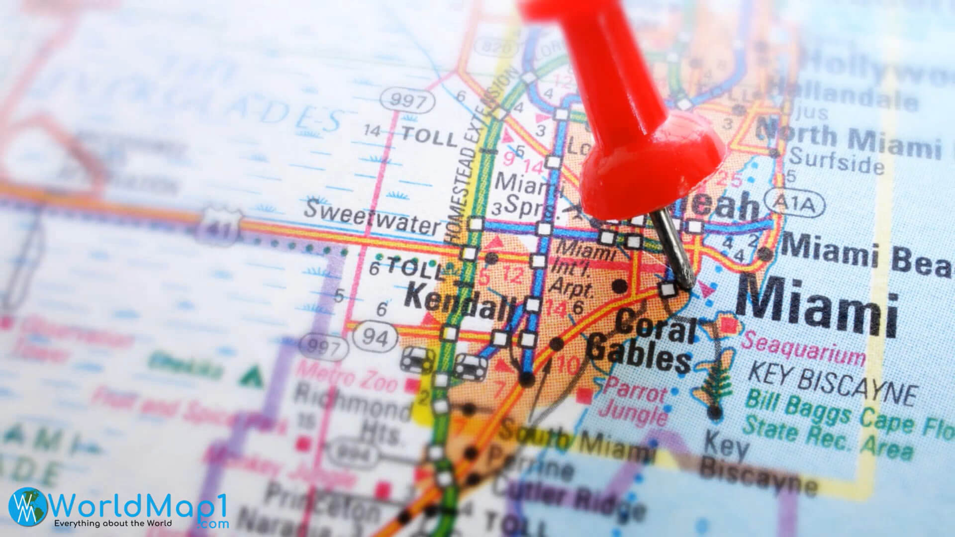
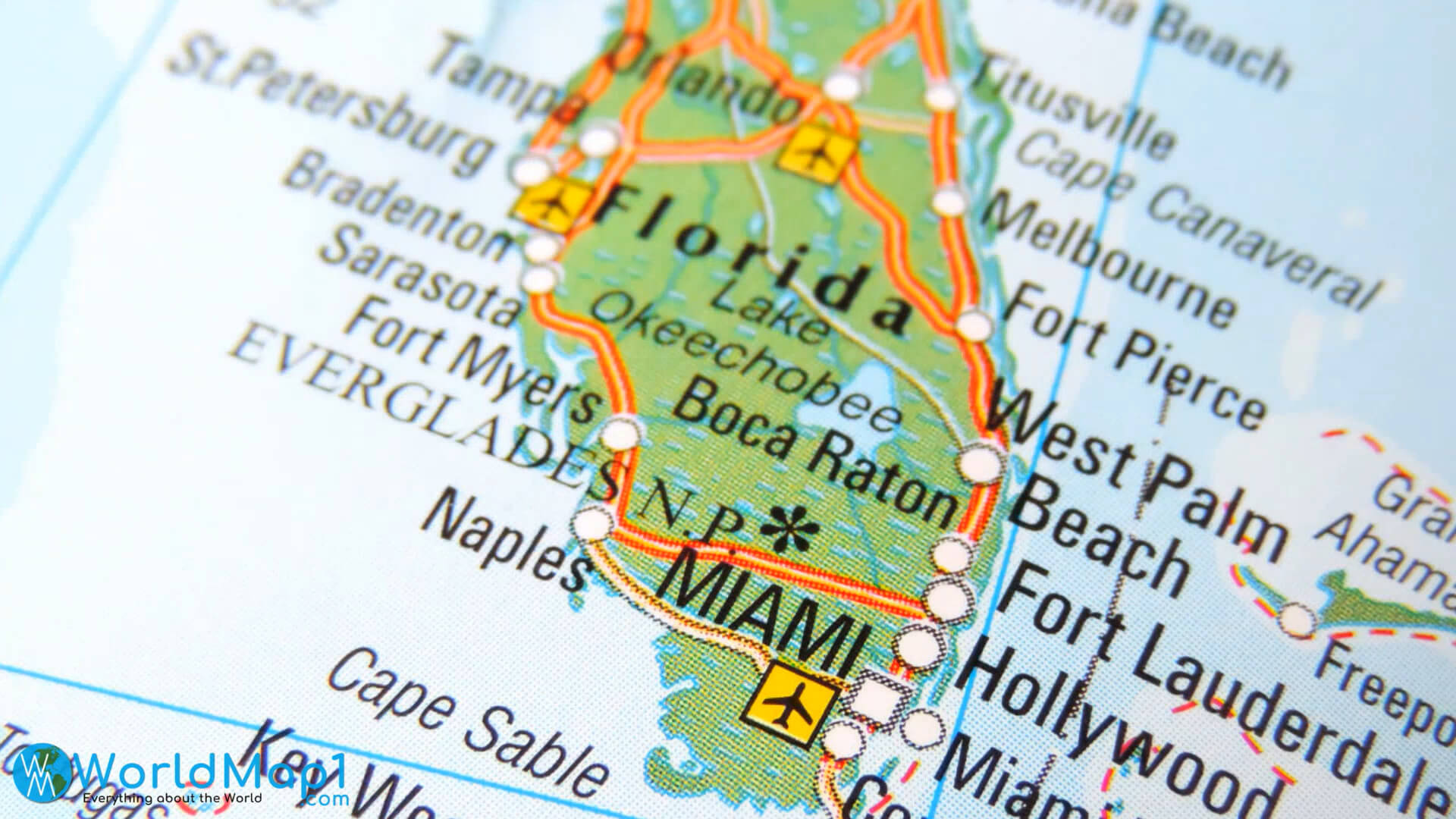
Miami Map in Florida
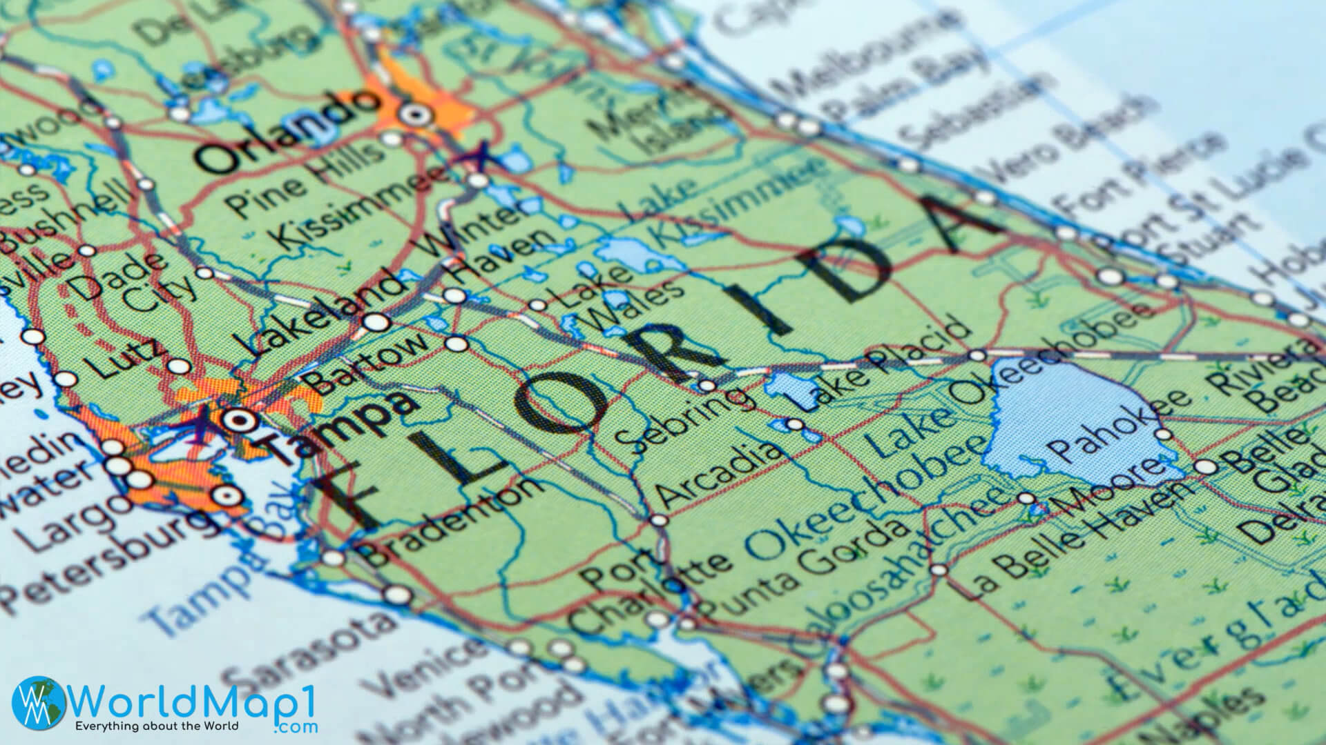
Orlando and Tampa Map in Florida
Roads Map of Florida with Blank Map
State Map of Florida
Tourism Map of Florida
Where is Located Florida in the US