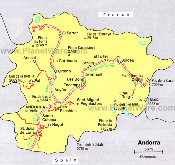
Map of Andorra, Andorra
Navigate Andorra map, Andorra country map, satellite images of Andorra, Andorra largest cities, towns maps, political map of Andorra, driving directions, physical, atlas and traffic maps in Andorra.
MAP OF ANDORRA
Andorra City Maps
Encamp La Massana Andorra la VellaA Collection of Andorra Maps and Andorra Satellite Images
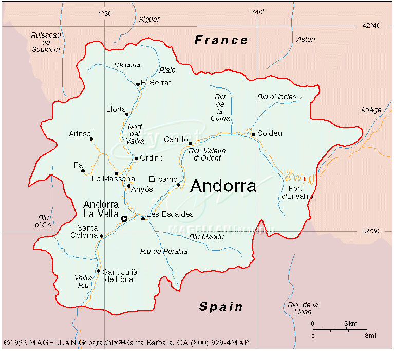
MAP OF ANDORRA
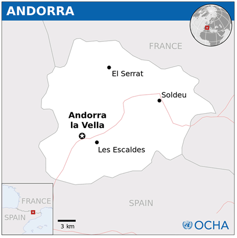
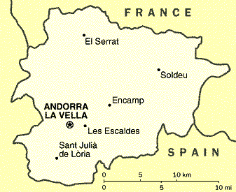
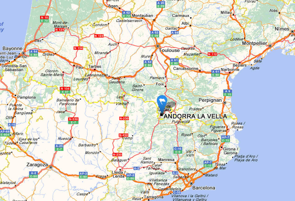
ANDORRA LOCATION MAP
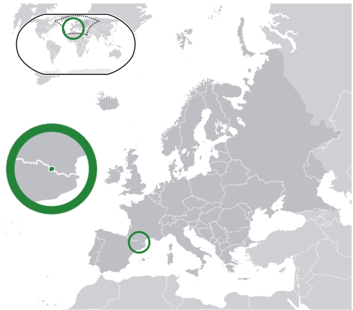
WHERE IS ANDORRA IN THE WORLD
ANDORRA EARTH MAP
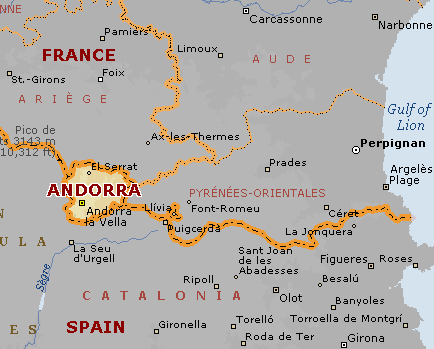
ANDORRA MAP
ANDORRA BLANK PHYSICAL MAP 2008
ANDORRA CITIES MAP
ANDORRA CITIES ROAD MAP
ANDORRA MAP
ANDORRA MAP 2006
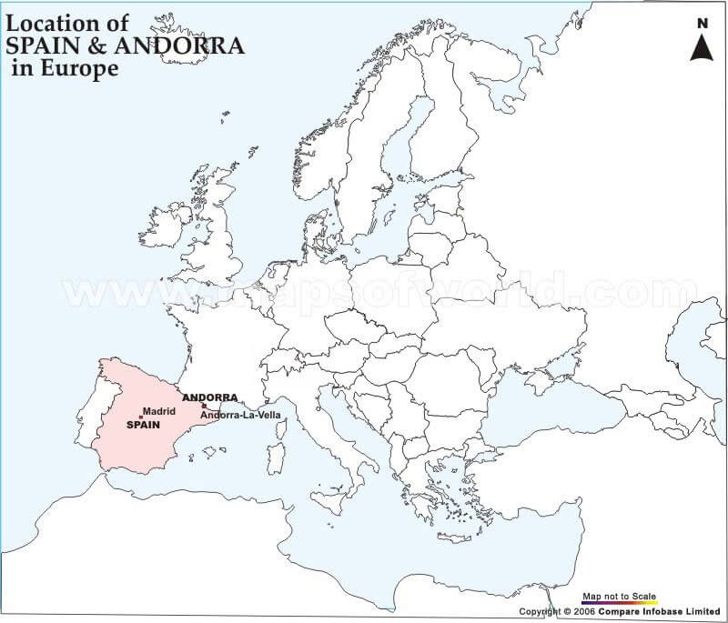
ANDORRA MAP EUROPE
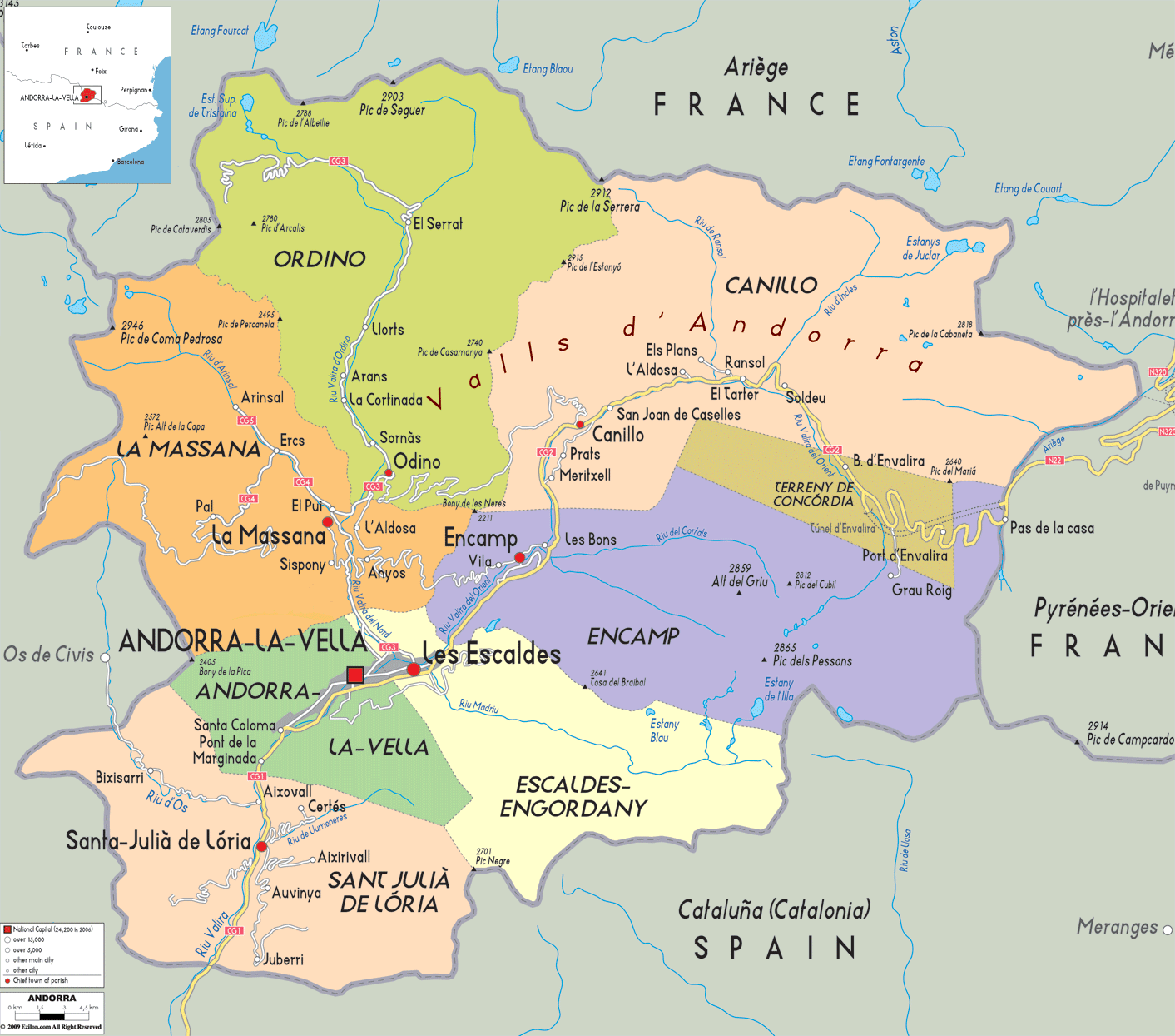
ANDORRA PROVINCES CITIES MAP
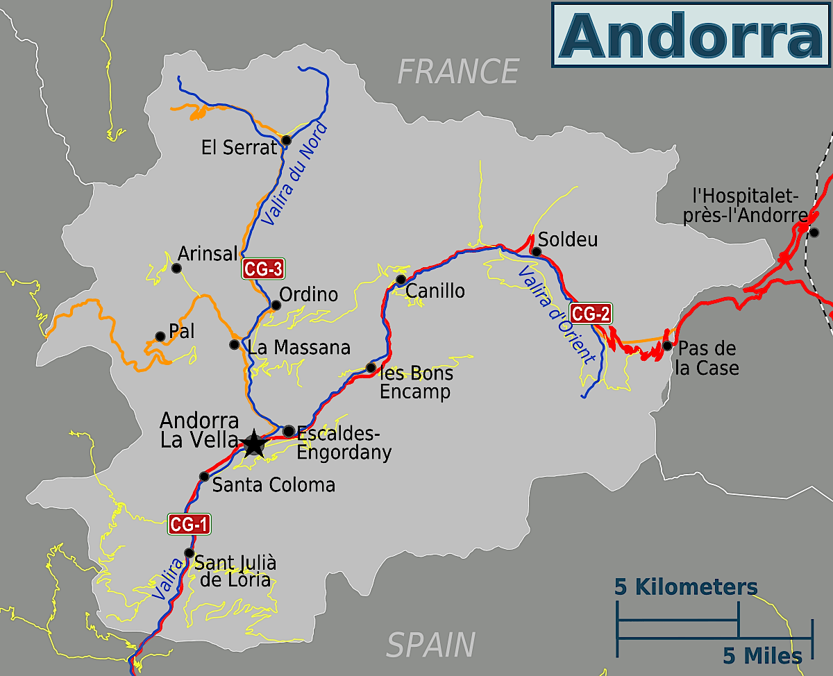
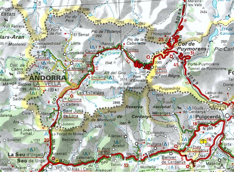
ANDORRA ROAD MAP

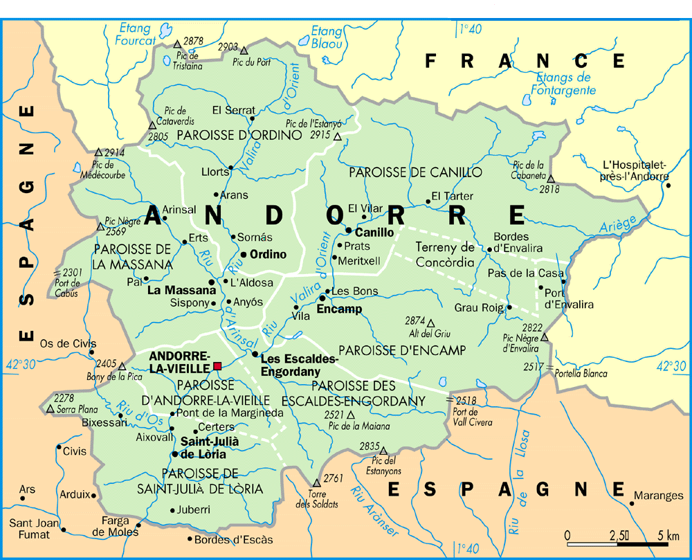
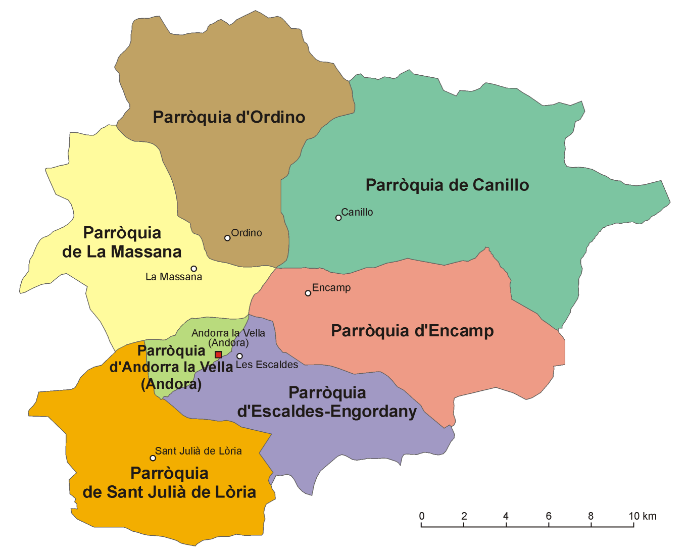
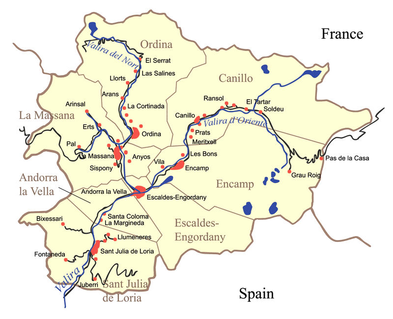
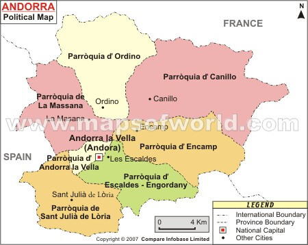
ANDORRA SEVEN PARISHES MAP
ANDORRA SEVEN PARISHES MAP 2006
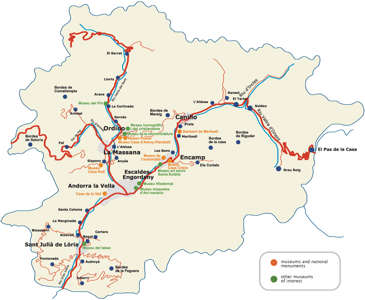
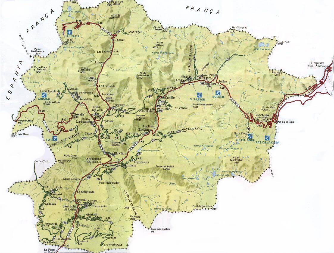
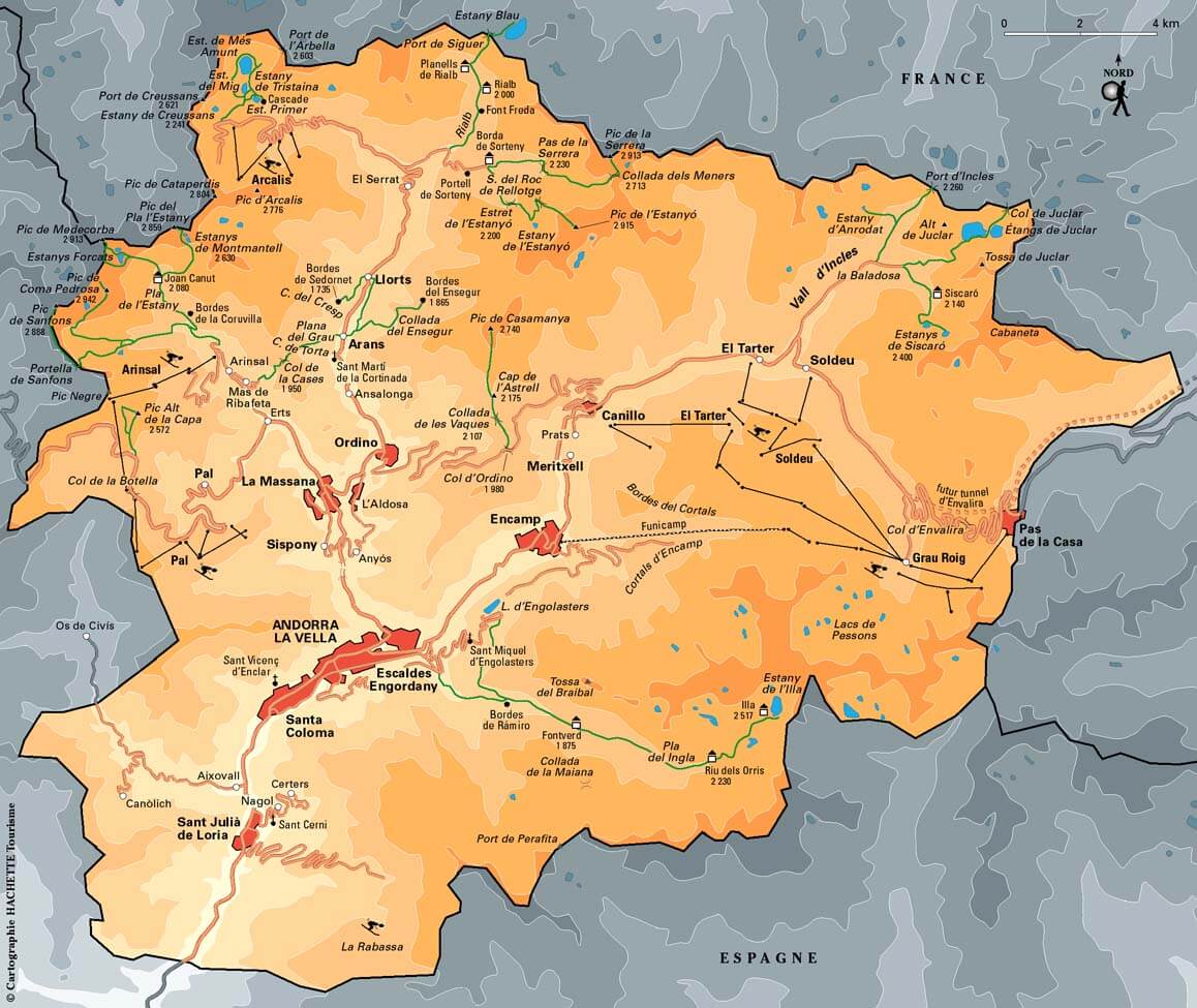
ANDORRA TOURISTIC MAP
CITIES MAP OF ANDORRA
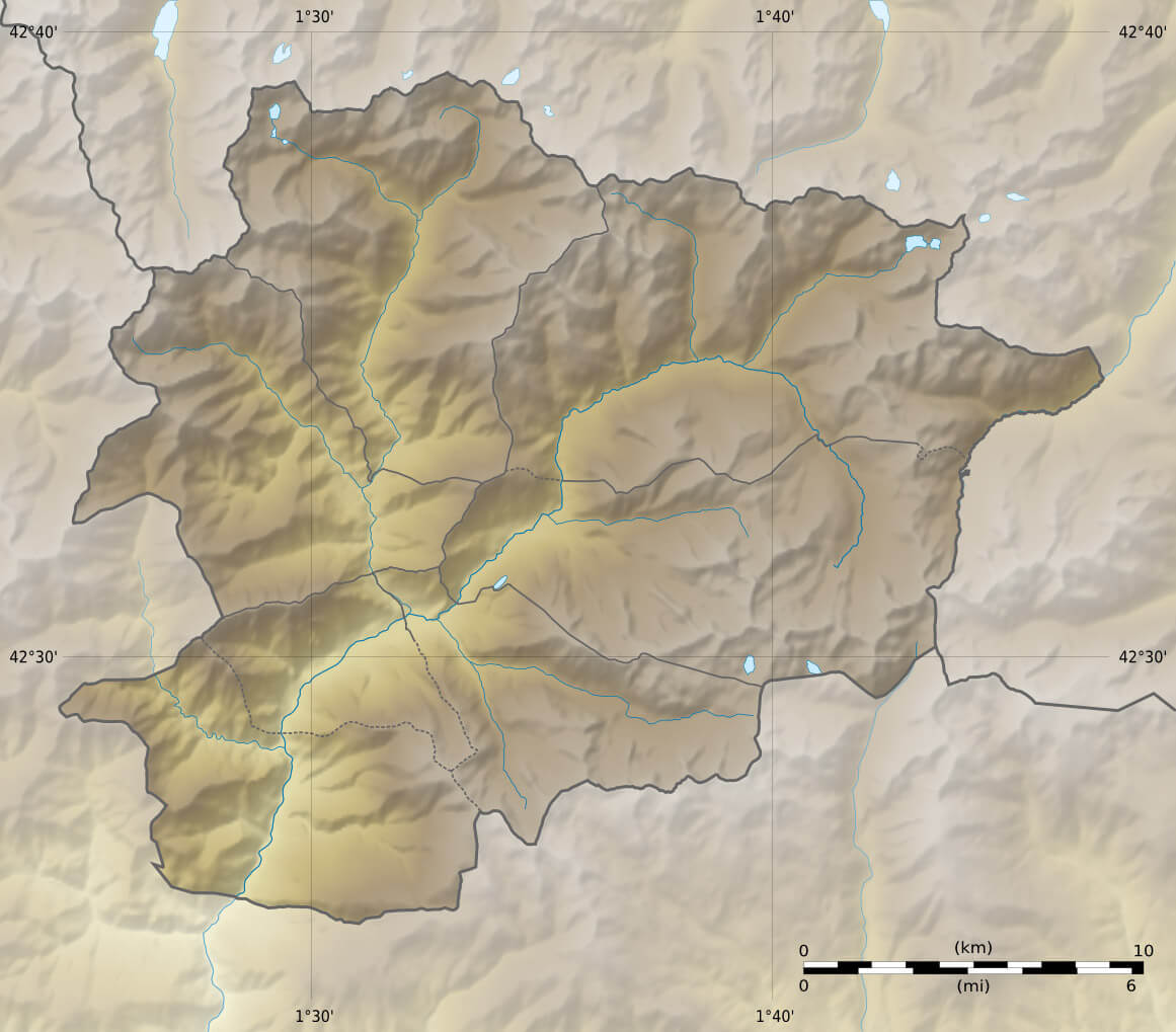
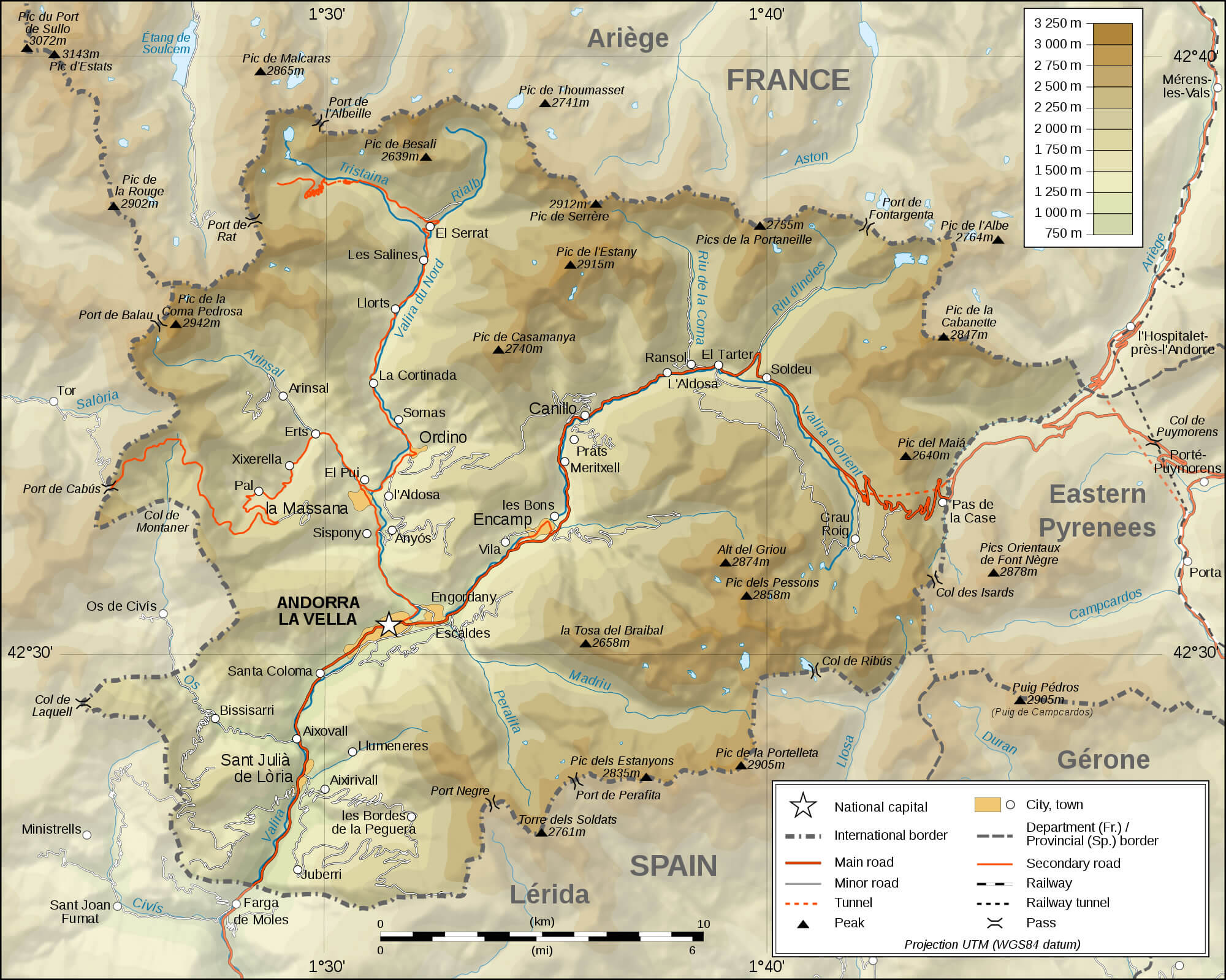
COUNTRY PHYSICAL MAP OF ANDORRA
MAP OF ANDORRA
PHYSICAL MAP OF ANDORRA

PHYSICAL MAP OF ANDORRA 2009
POLITICAL MAP OF ANDORRA
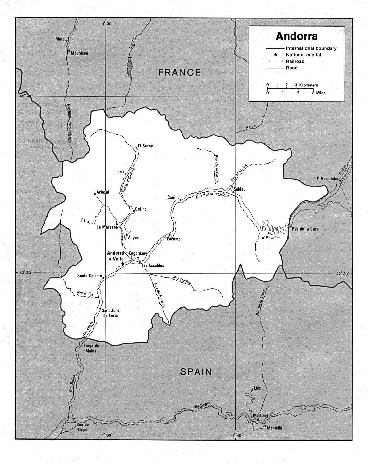
POLITICAL MAP OF ANDORRA 1986
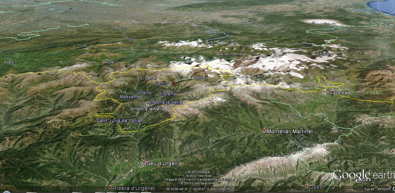
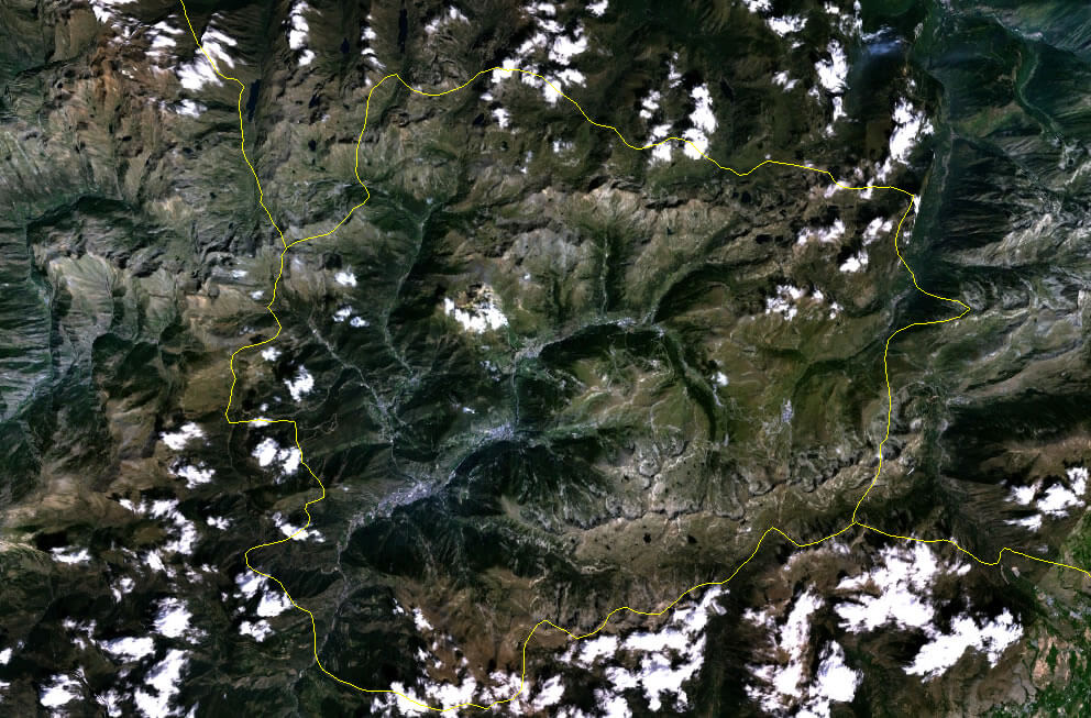
SATELLITE IMAGE PHOTO OF ANDORRA
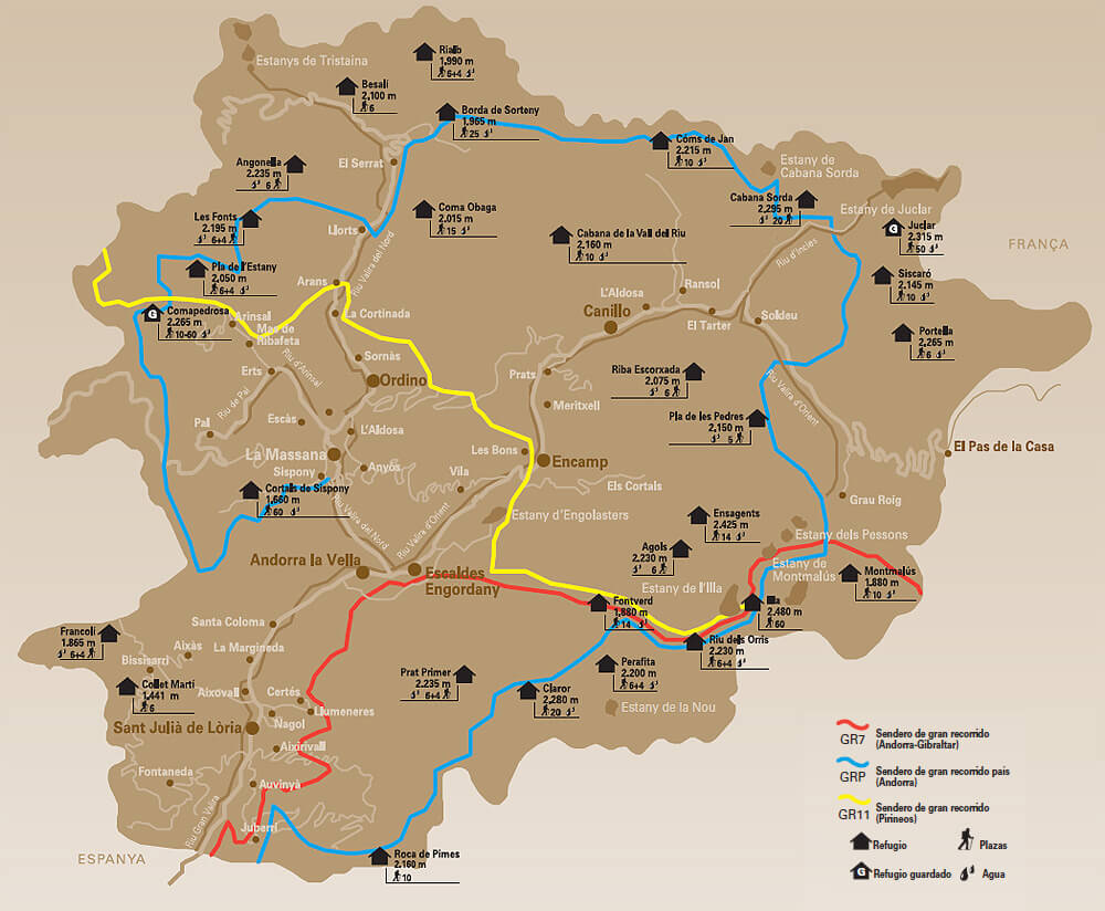
SKIING MAP IN ANDORRA
TOURIST MAP OF ANDORRA
See Also
Andorra Google Map, Street Views, Maps Directions, Satellite Images
WorldMap1.com offers a collection of Andorra map, google map, Andorra atlas, political, physical, satellite view, country infos, cities map and more map of Andorra.