Bulgaria Map
Explore Bulgaria on the map and learn about its cities, rivers, and topography. Discover Bulgaria's location and neighboring countries with Bulgaria detailed map.
Bulgaria Map FQA
How many cities are in Bulgaria ?
Bulgaria has more than 250 cities and towns. The 10 largest are: Sofia, Plovdiv, Varna, Burgas, Ruse, Stara Zagora, Pleven, Sliven, Dobrich, and Shumen.What are the major geographical features of Bulgaria ?
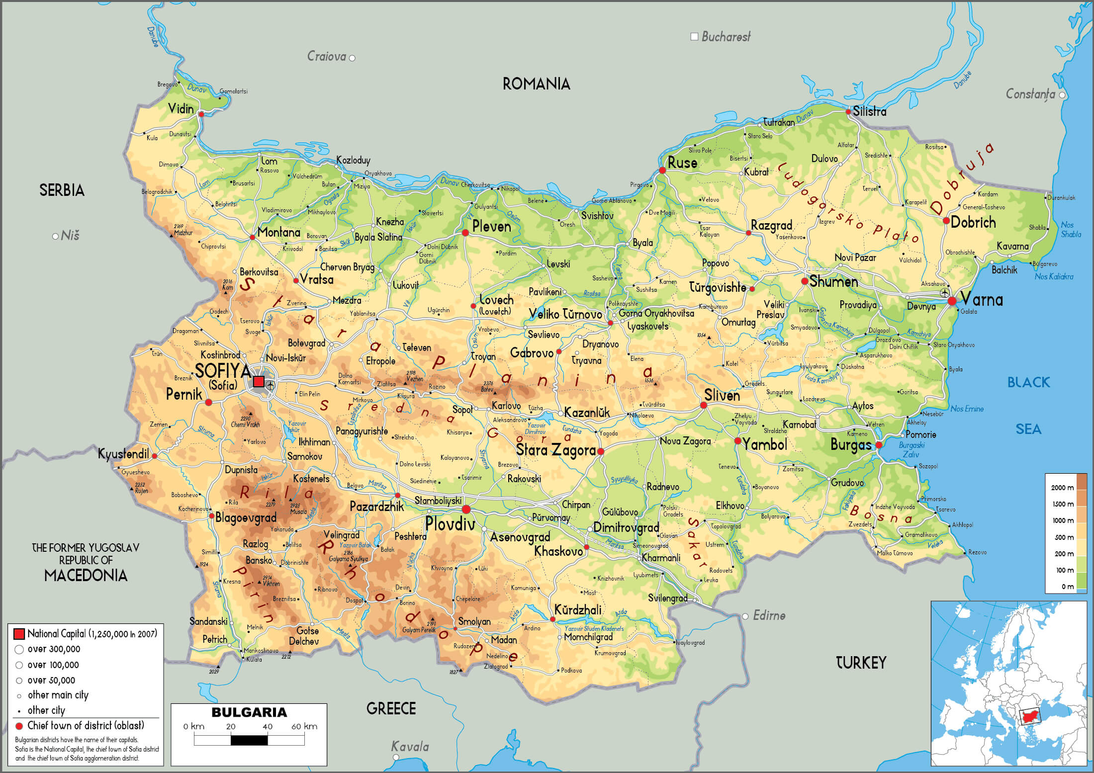
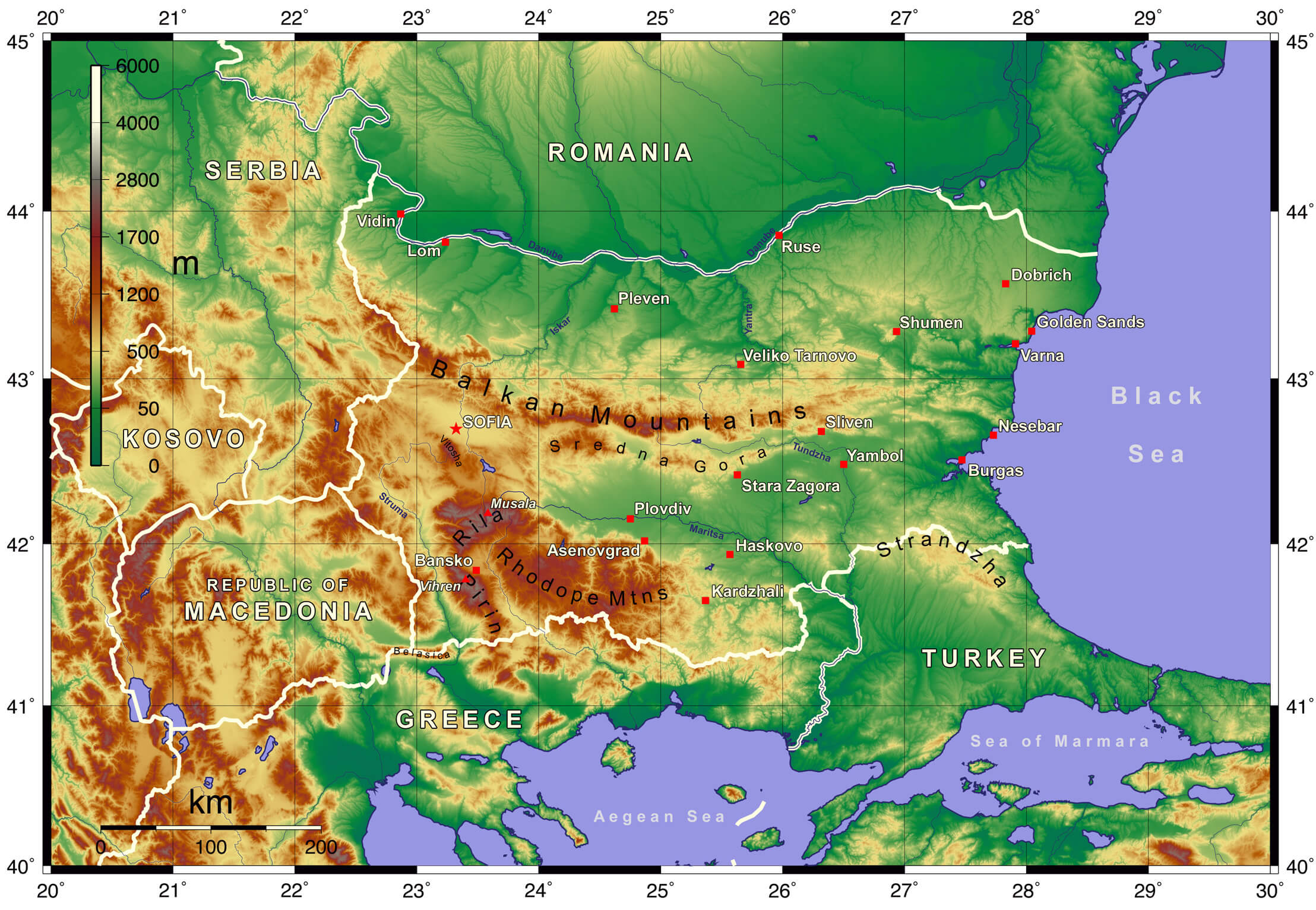
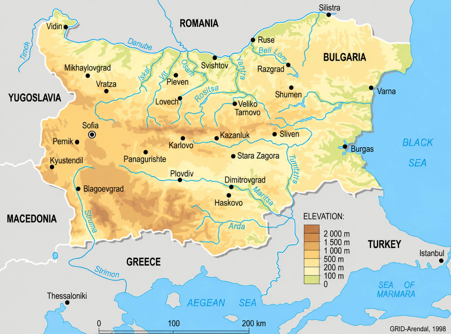
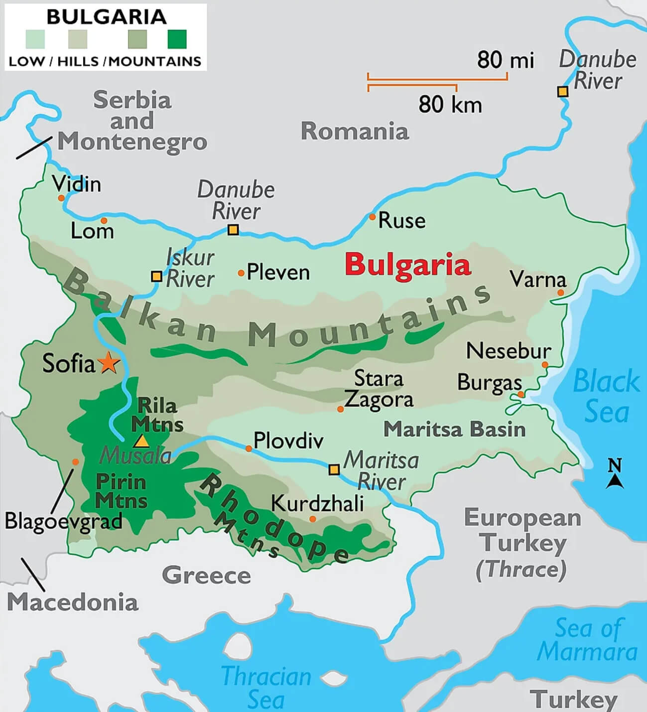
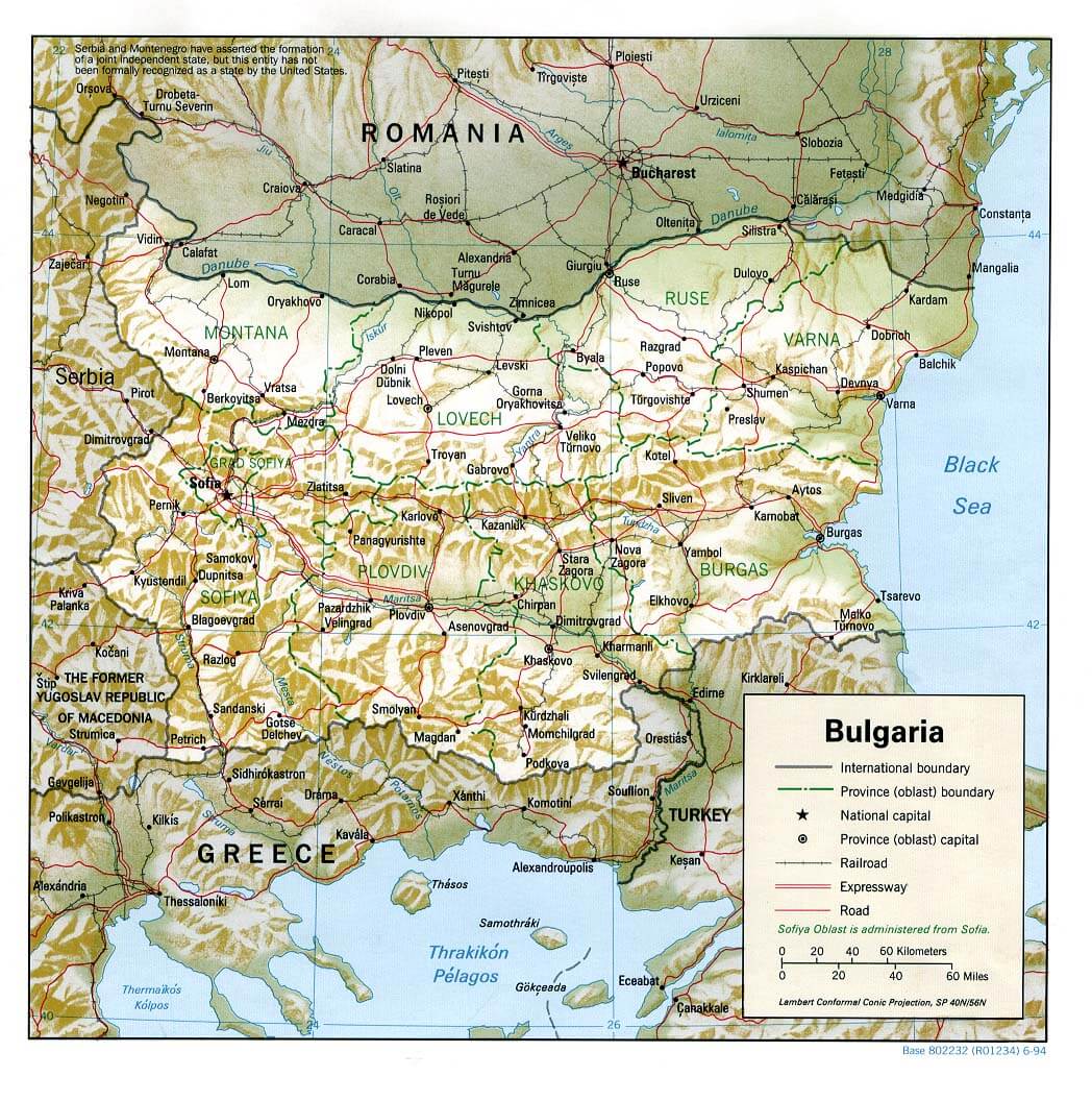
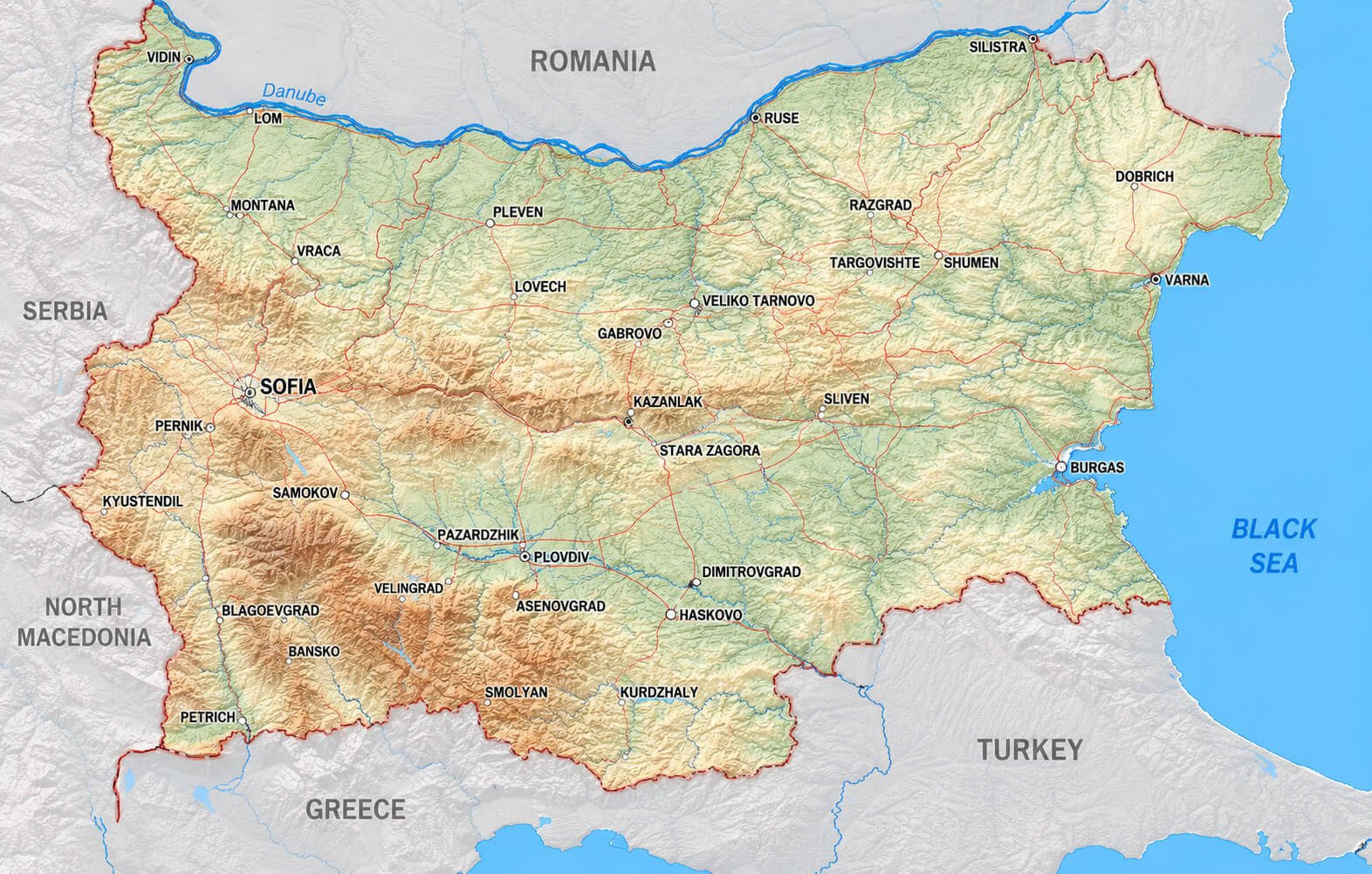
Bulgaria has diverse geography, with the Balkan Mountains running through the center, the Danube River forming the northern border, and the Black Sea coast to the east. The Thracian Plain and Rhodope Mountains are also major features.BULGARIA PHYSICAL MAP WITH LARGEST CITIES

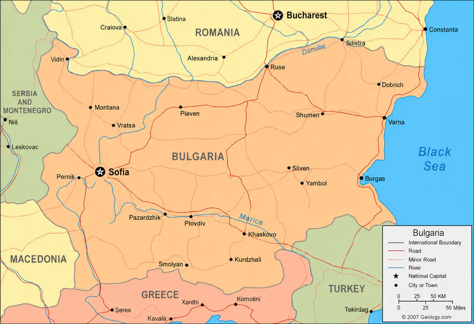
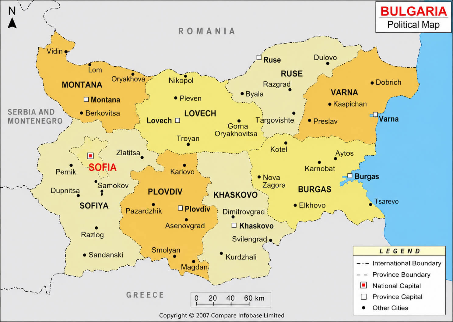
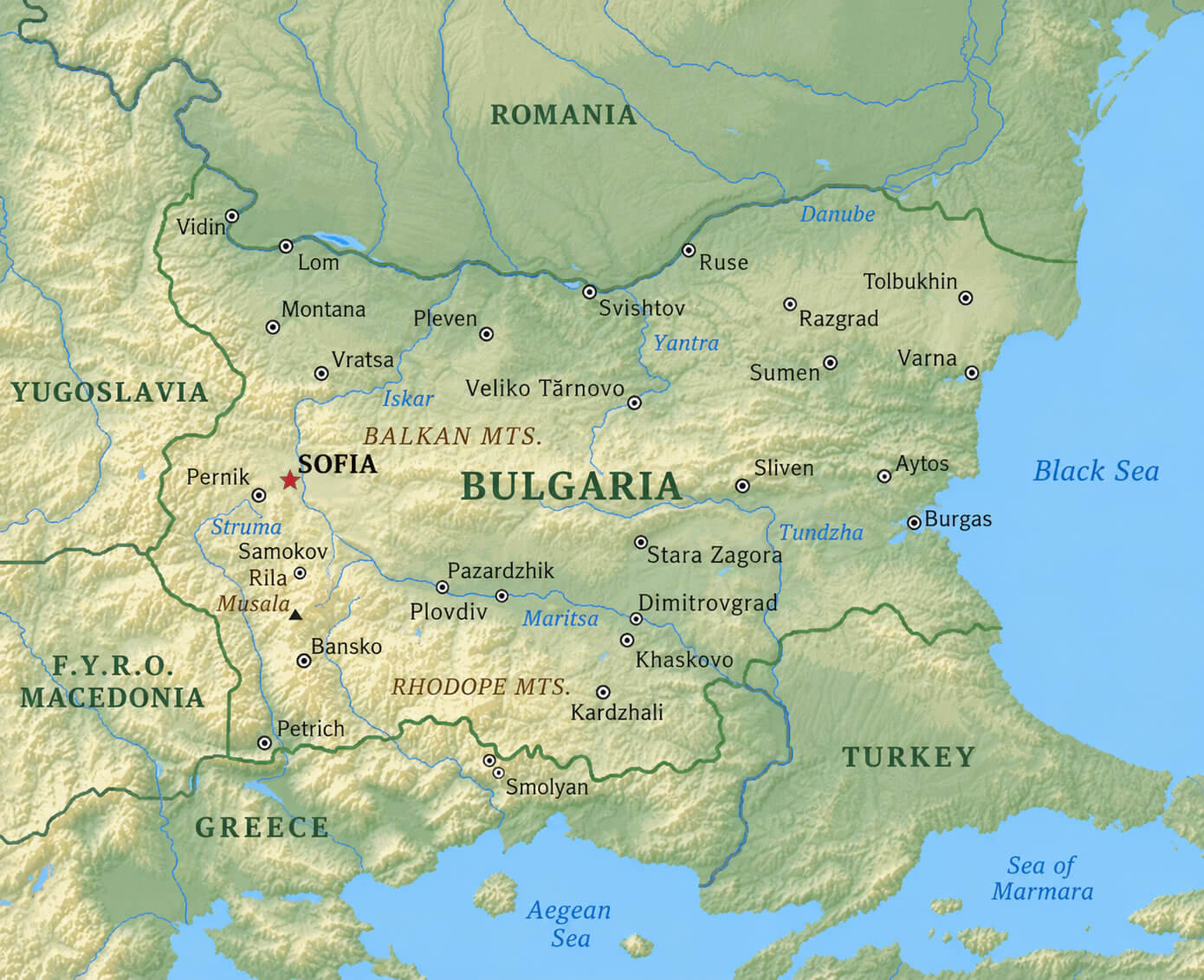
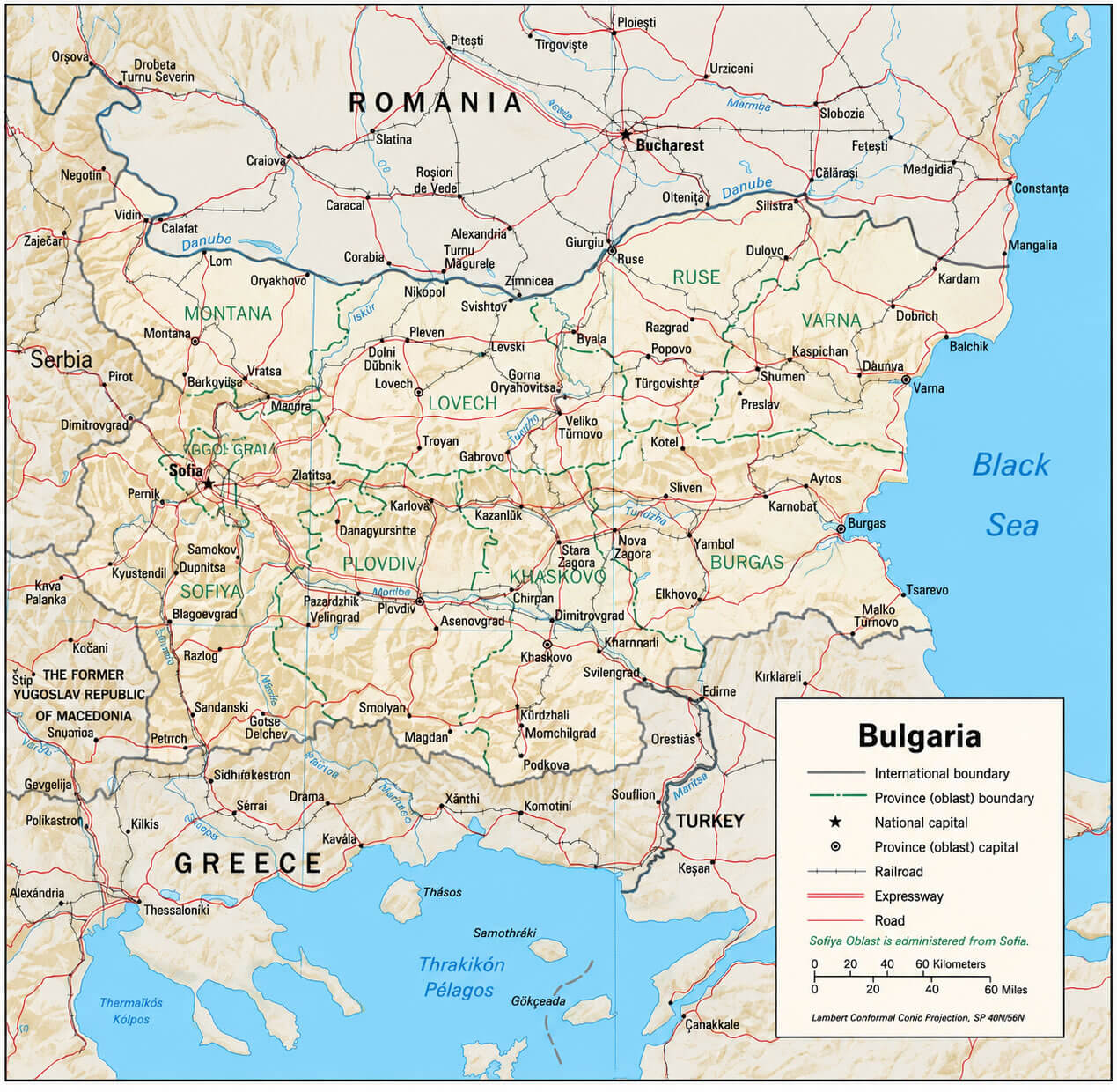
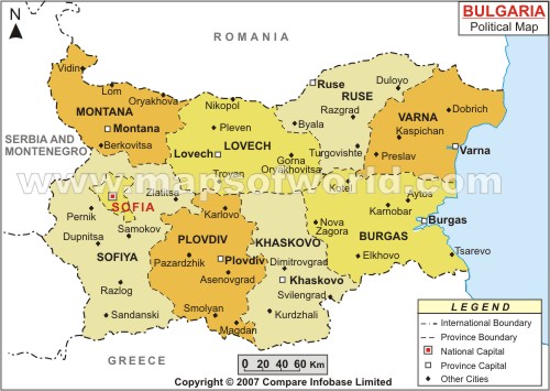
POLITICAL MAP OF BULGARIA
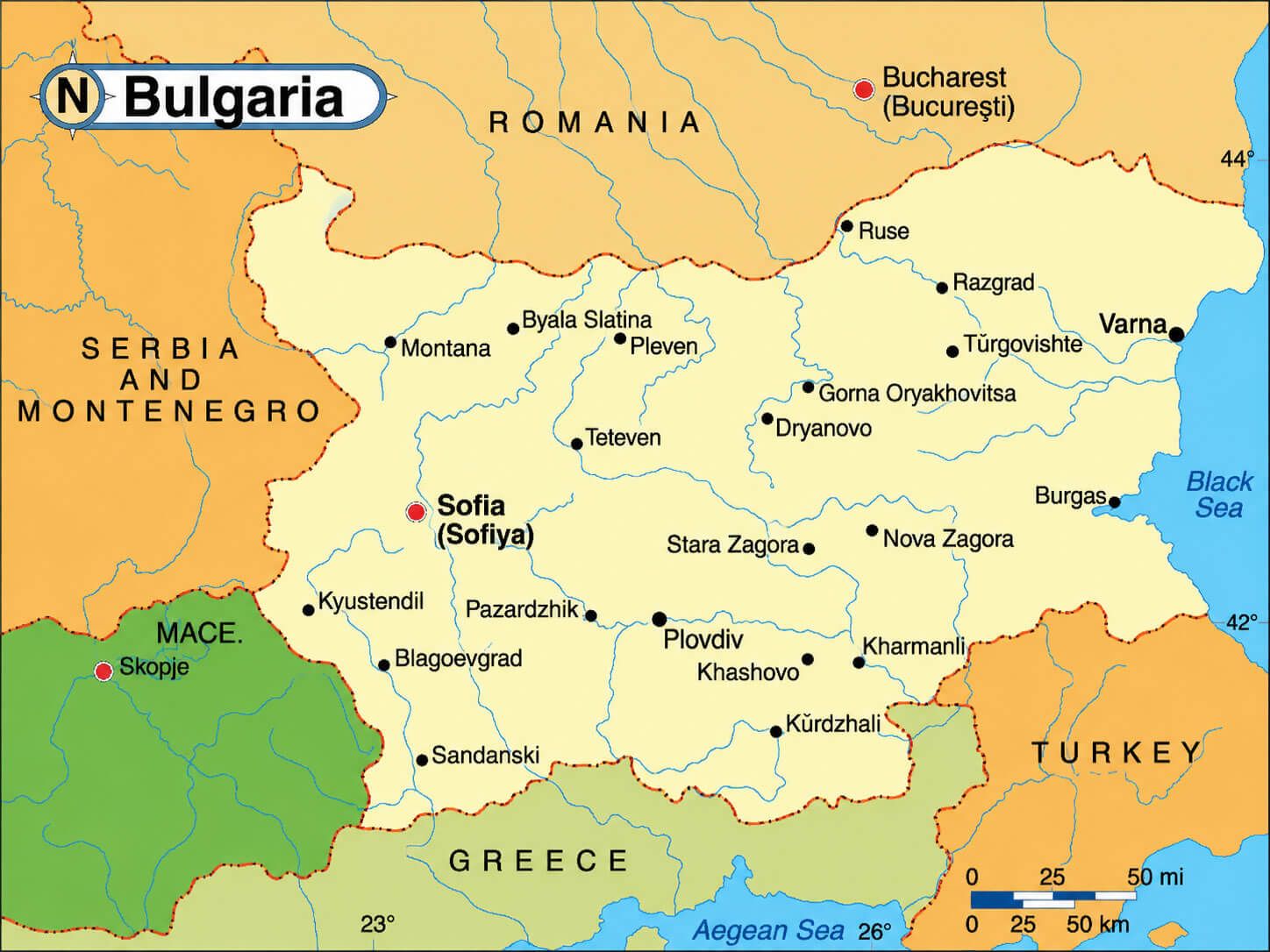
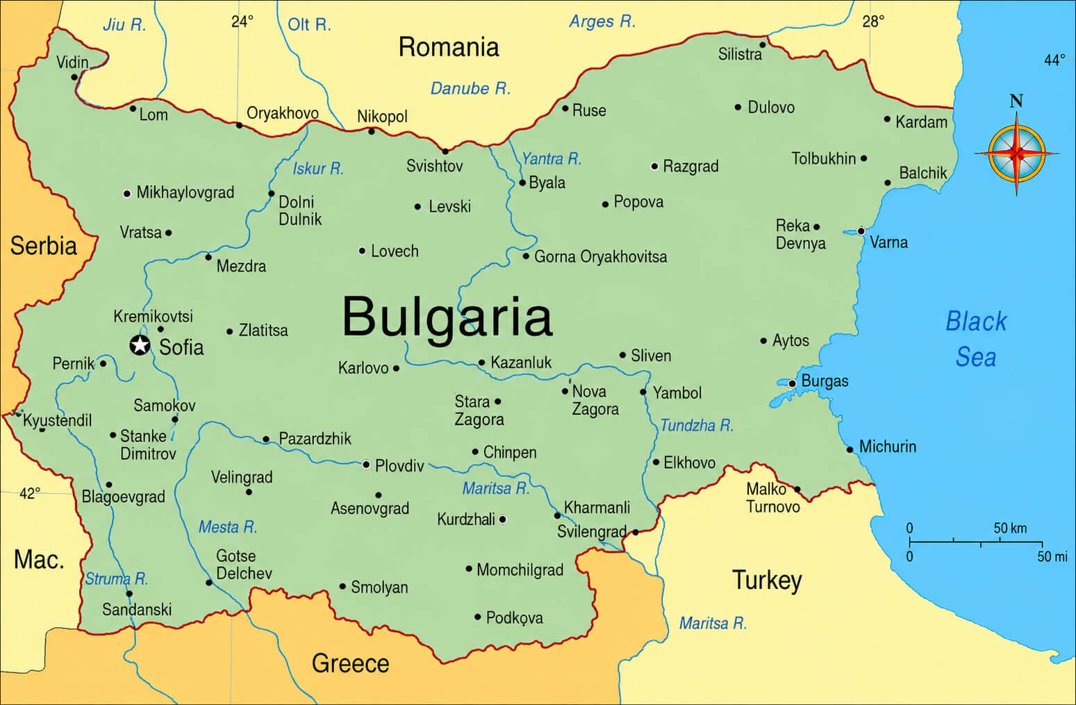
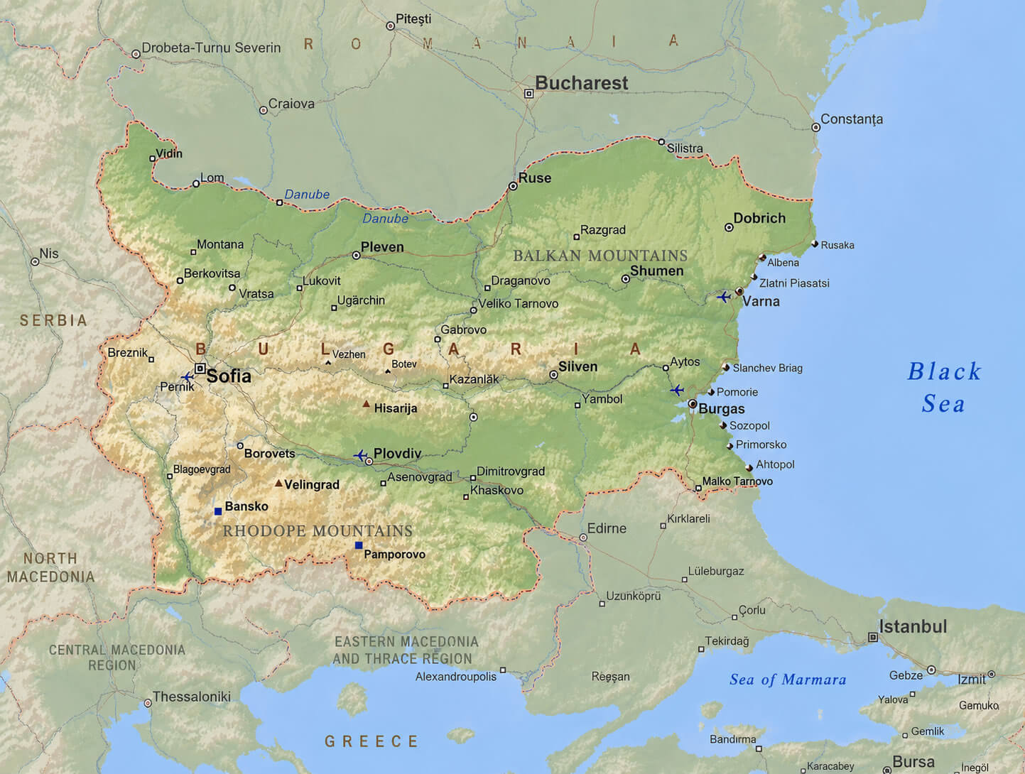
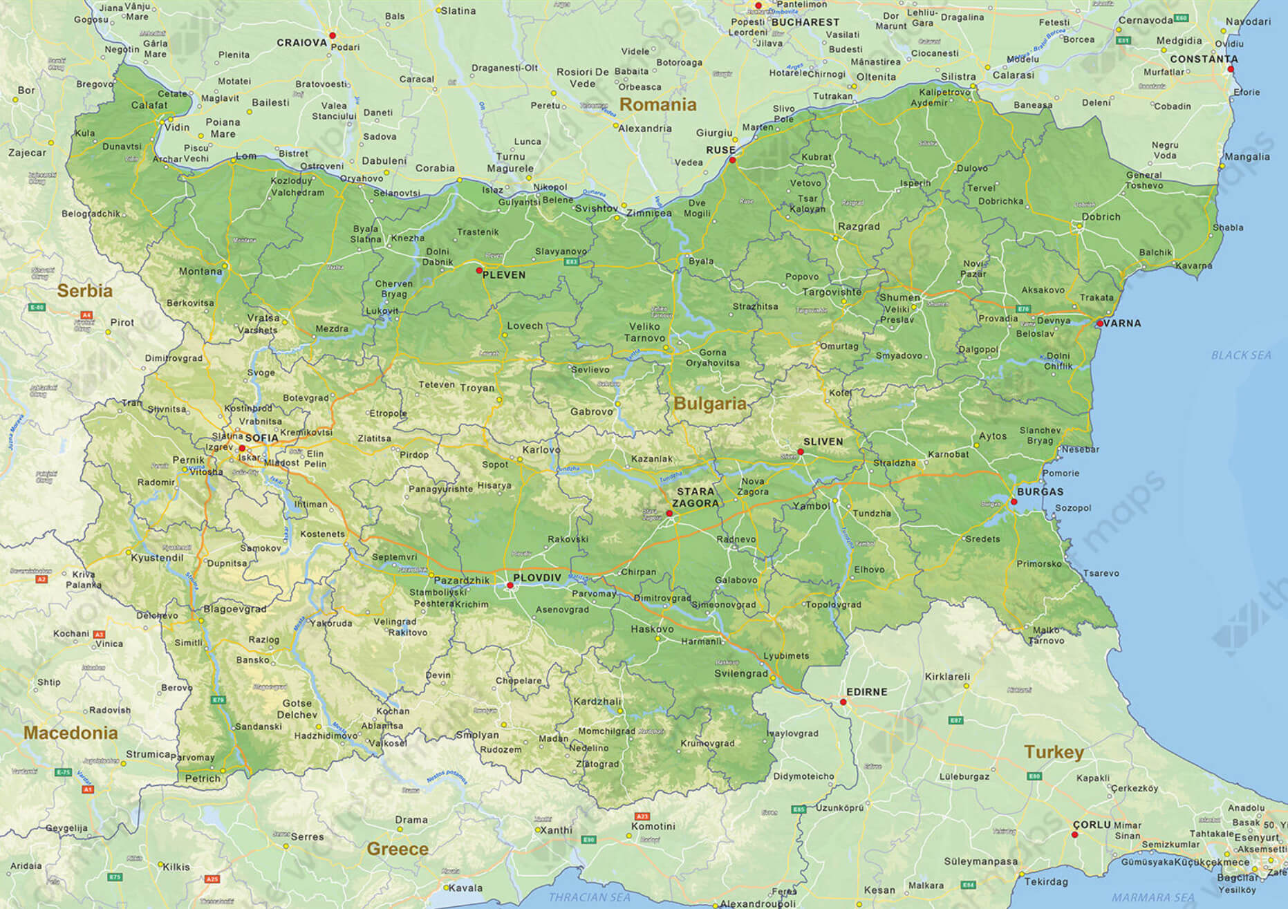
BULGARIA MAJOR CITIES MAP WITH RIVERS
Can I download a high-resolution map of Bulgaria ?
Yes. Download high-resolution political and physical maps of Bulgaria for personal or educational use. Redistribution is subject to the terms of our license.
- Capital : Sofia
- Population : 7,364,570
- GDP : $50.806 billion (72th)
- Per Capita : $6,974 (76th)
- Calling Code : +359
- Jobless Rate : 11.50%
- Time Zone : +2
Where is located Bulgaria on the Map
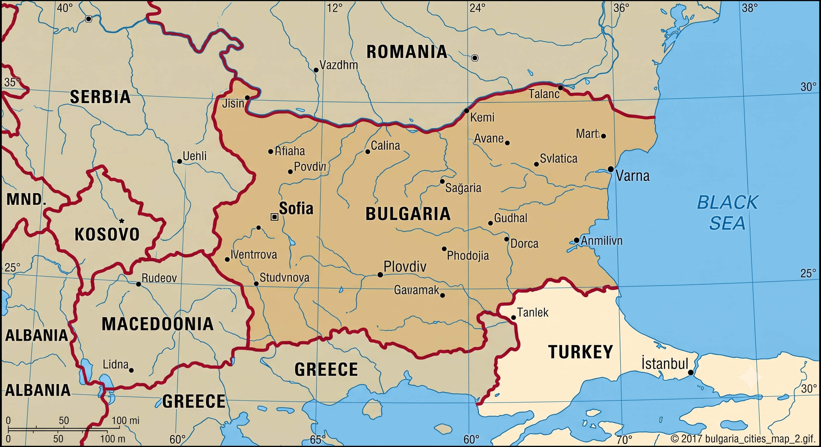
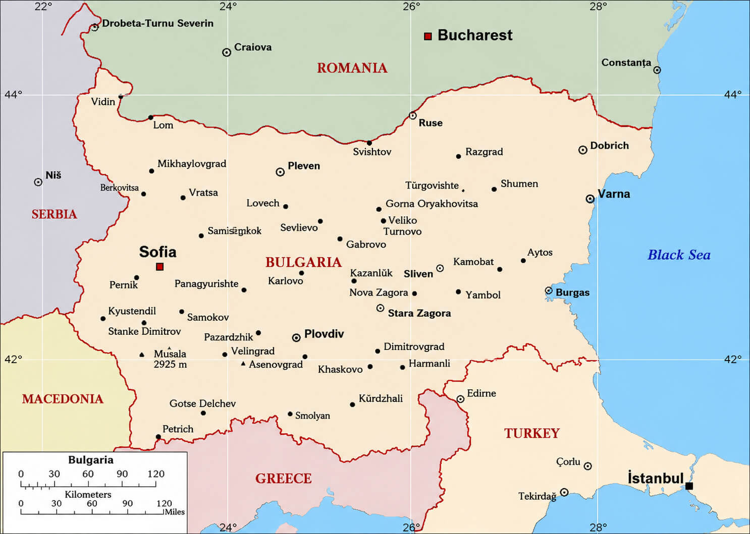
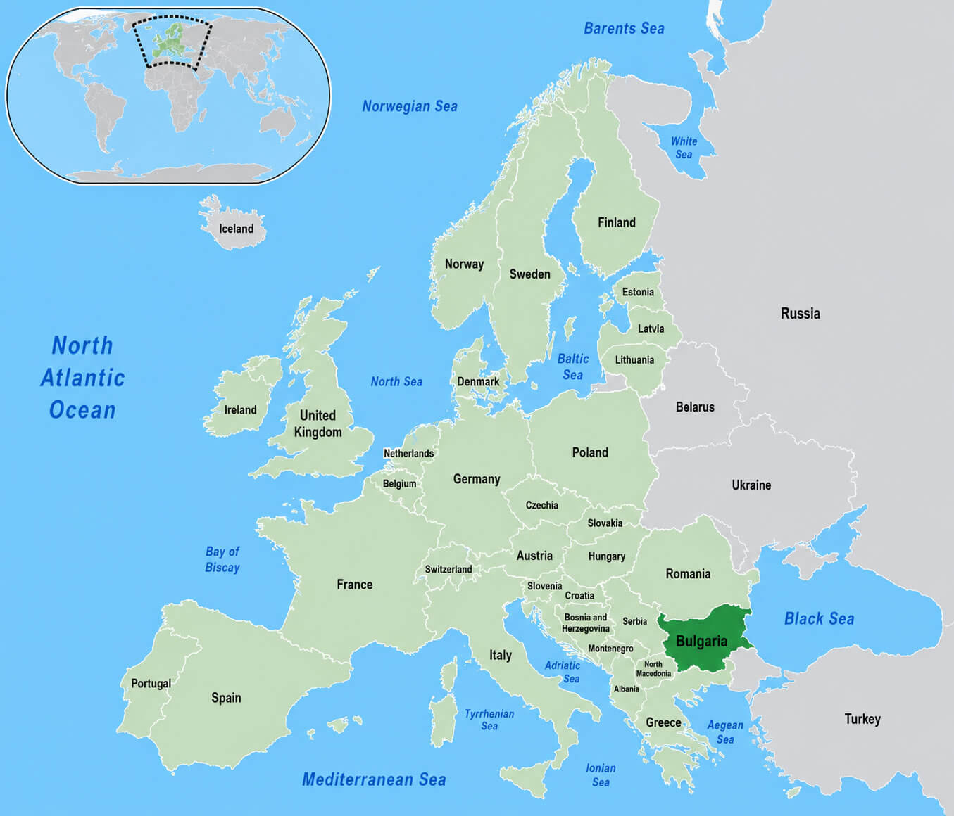
Bulgaria is located in southeastern Europe, bordered by Romania to the north, Serbia and North Macedonia to the west, Greece and Turkey to the south, and the Black Sea to the east.
Bulgaria is a beautiful country located in Southeast Europe, known for its rich history, diverse culture, and breathtaking natural landscapes. On this page, you will find an interactive map of Bulgaria that allows you to explore the country's cities, towns, and regions, as well as its borders with neighboring countries. Whether you are planning a trip to Bulgaria or simply curious about this fascinating country, our map is a great resource for learning more about Bulgaria's geography, landmarks, and attractions. So, come and discover Bulgaria with us!
For more about Bulgaria >>
A Collection of Bulgaria Maps and Bulgaria Satellite Images
BULGARIA PHYSICAL MAP WITH LARGEST CITIES
POLITICAL MAP OF BULGARIA
BULGARIA MAJOR CITIES MAP WITH RIVERS
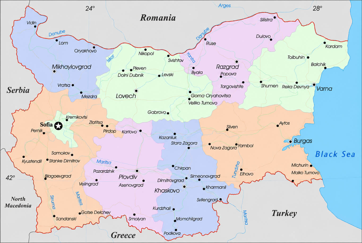
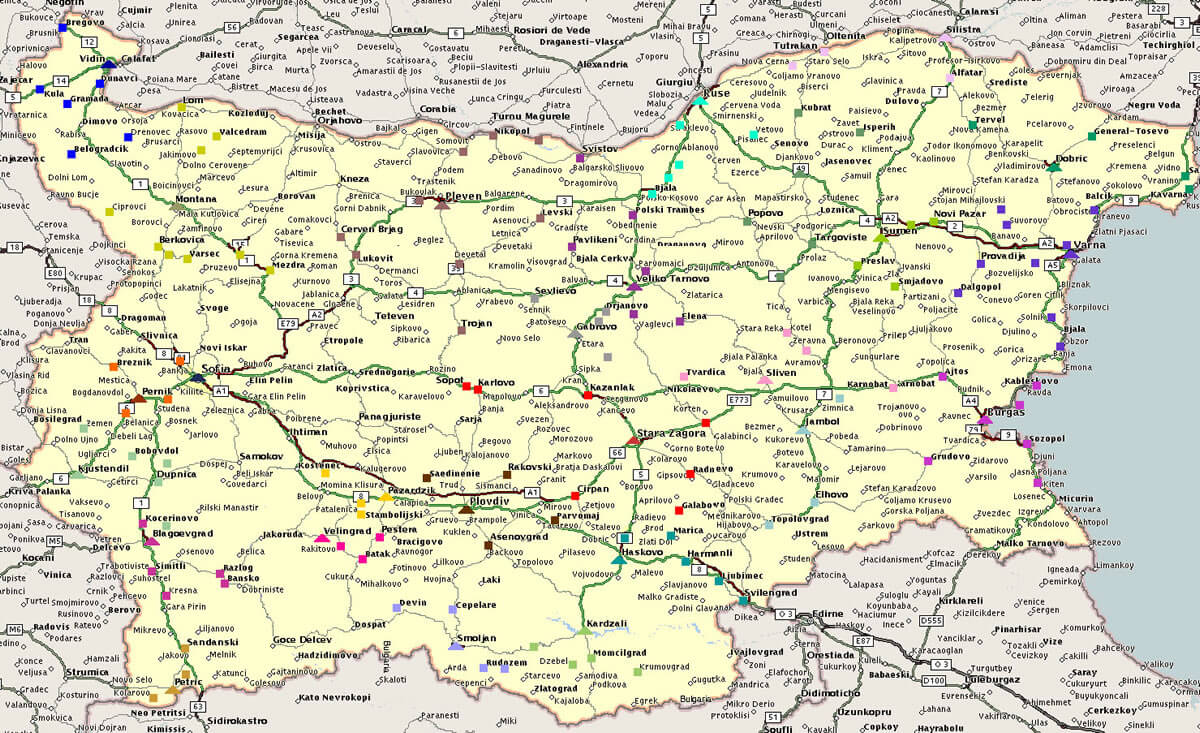
BULGARIA CITIES AND RIVERS MAP
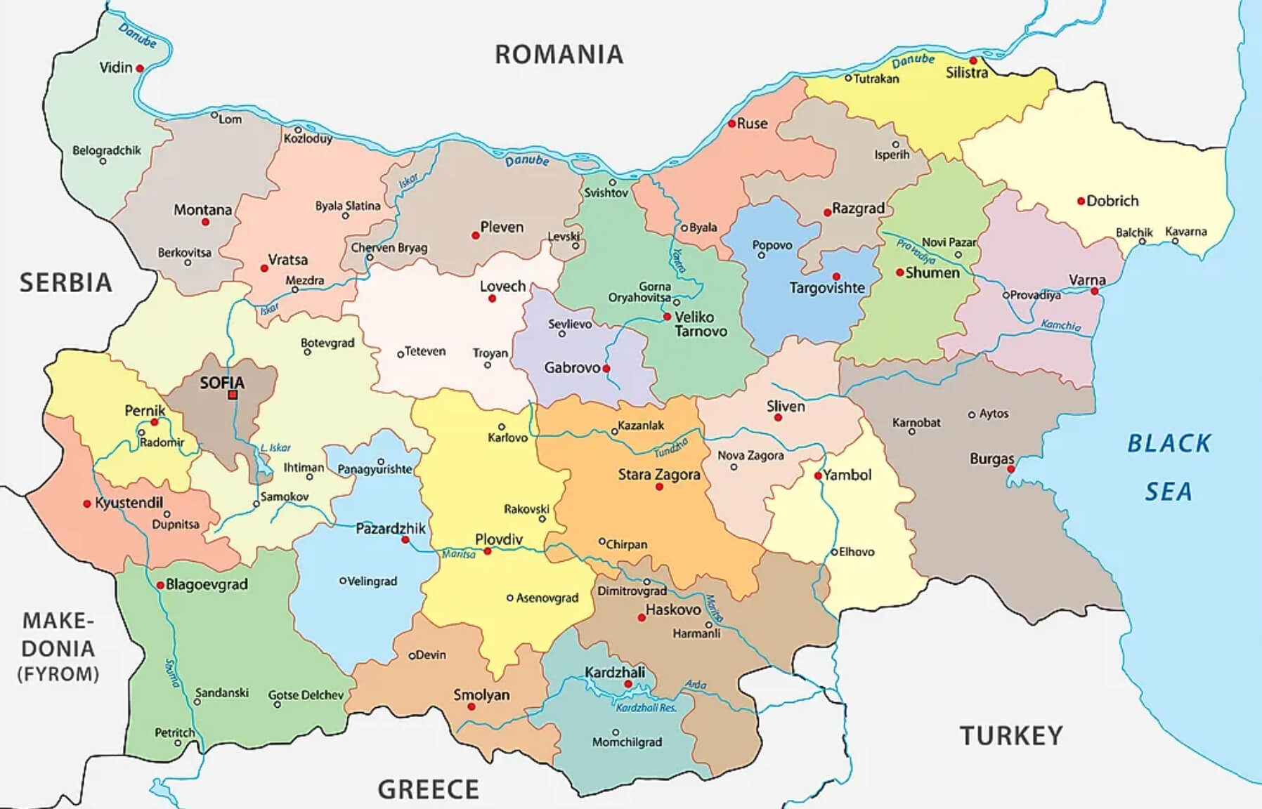
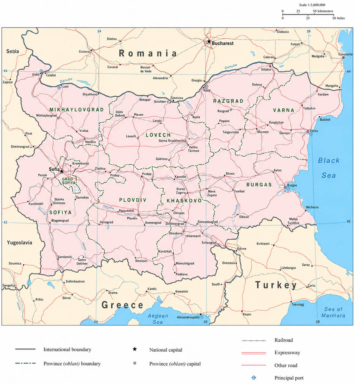
BULGARIA PROVINCES MAP
ADMINSTRATIVE MAP OF BULGARIA
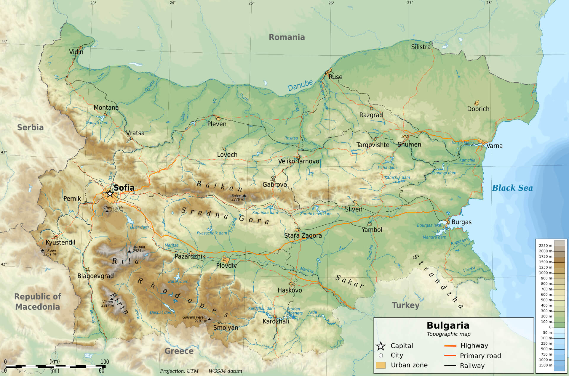
BULGARIA ELEVATION MAP
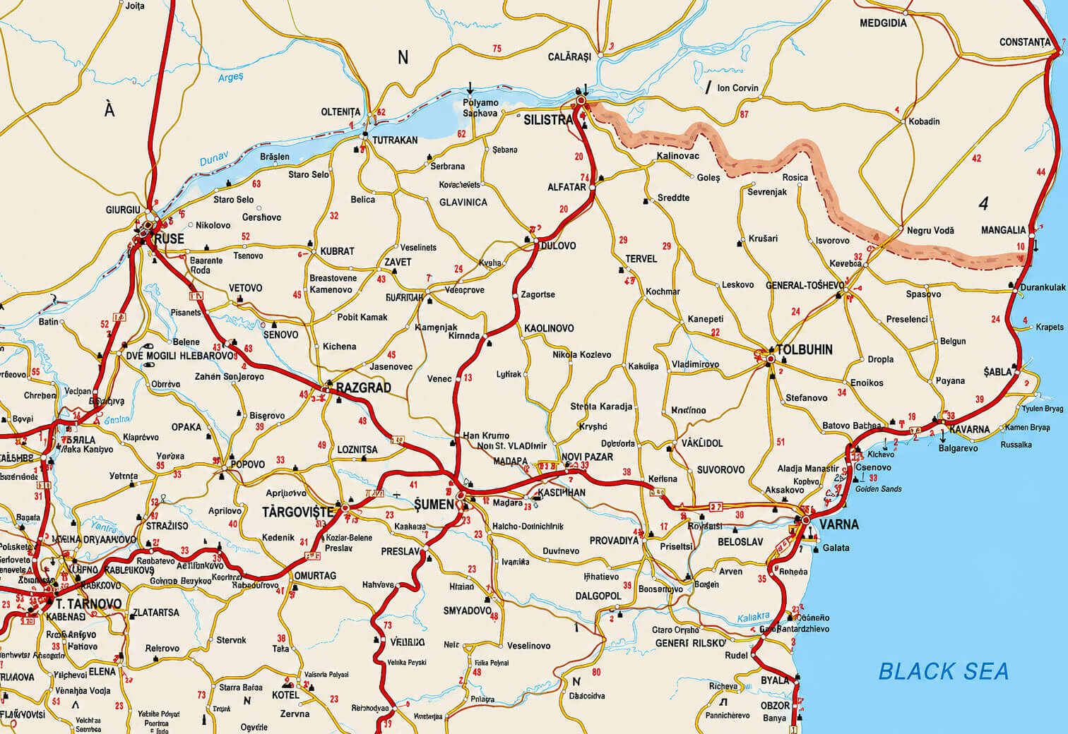
BULGARIA ADMINISTRATIVE MAP WITH MAIN ROADS
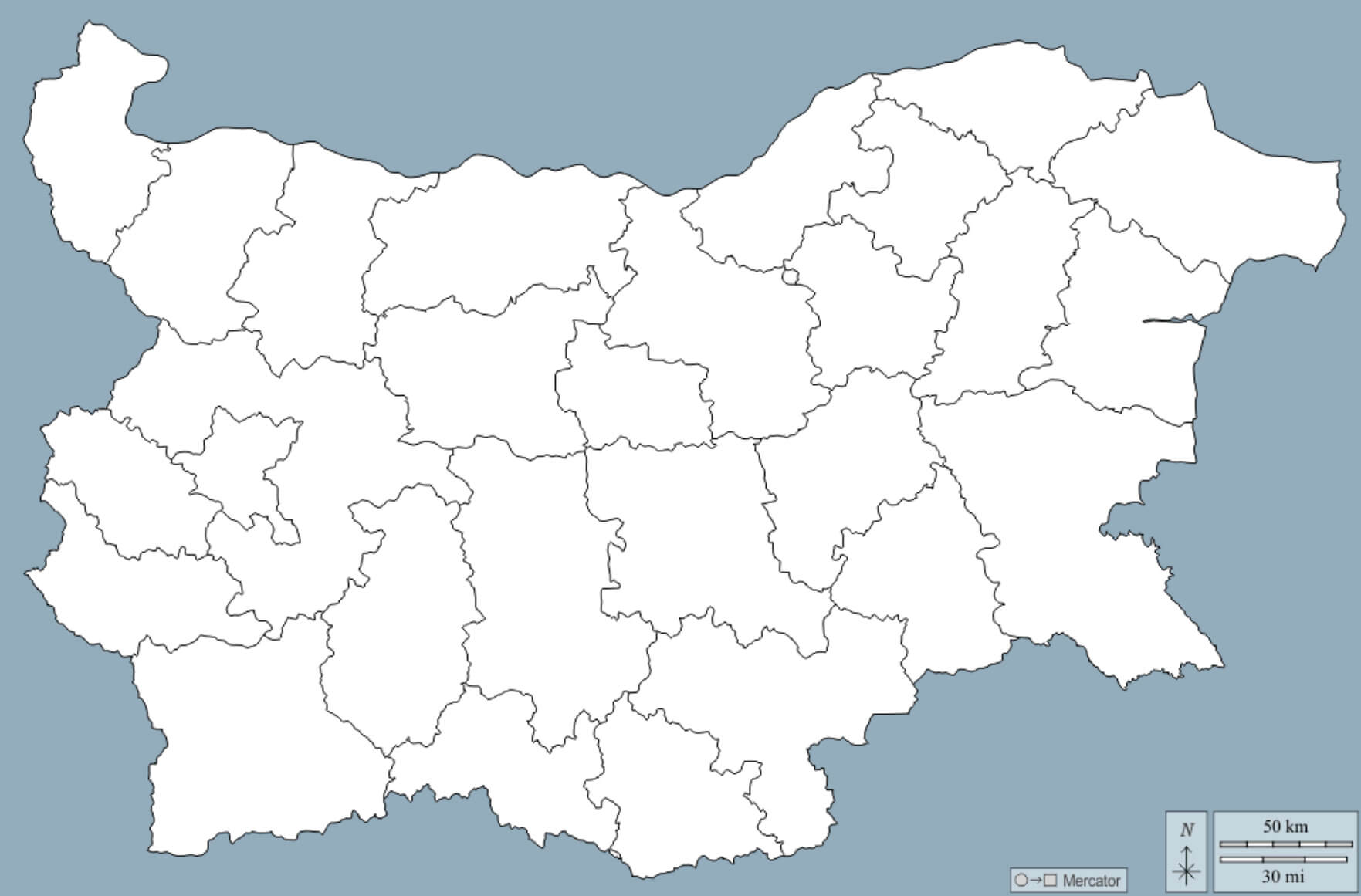
BULGARIA BLANK MAP WHITE COLOR
BULGARIA CITIES MAP WITH RIVERS
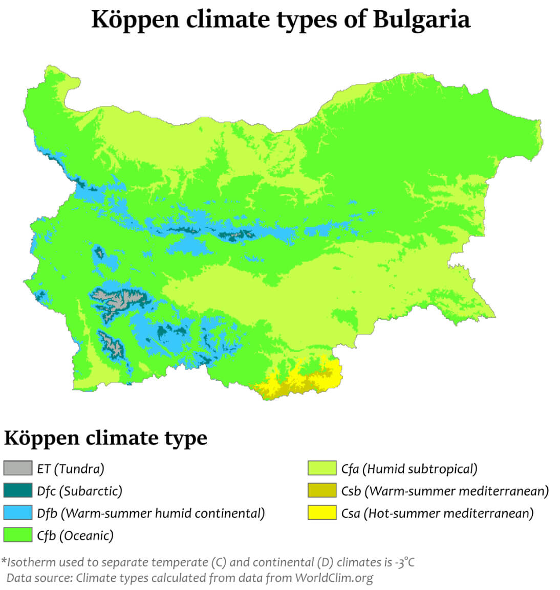
BULGARIA CLIMATE MAP
BULGARIA ELEVATION MAP.JPG
BULGARIA GEOGRAPHIC MAP
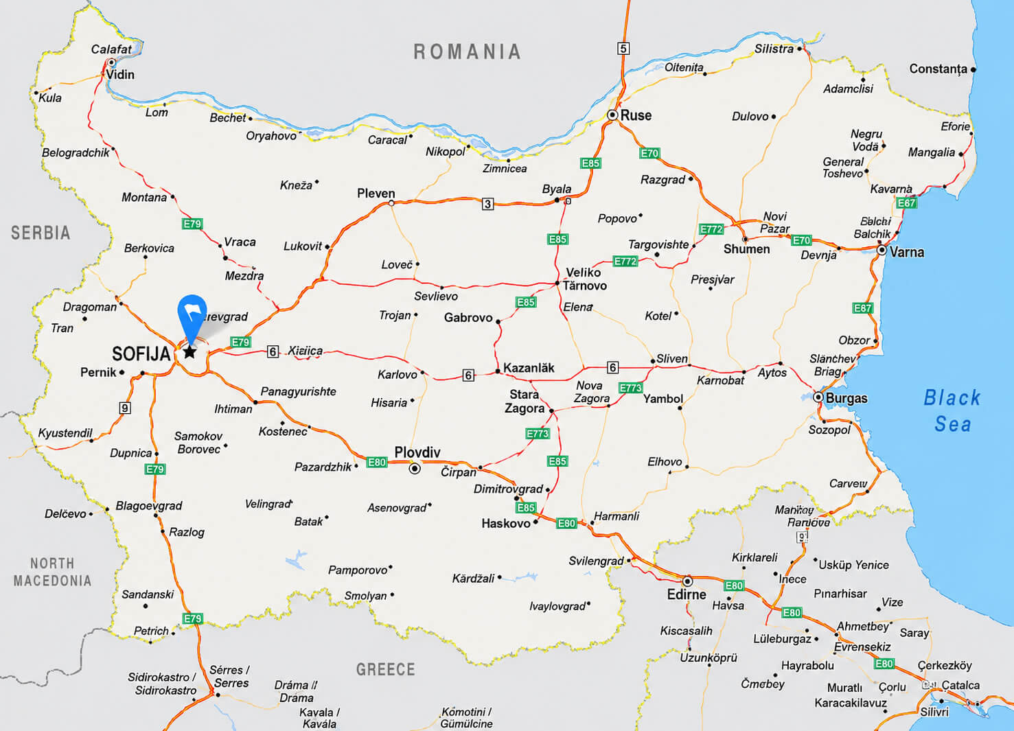
BULGARIA HIGHWAY MAP
BULGARIA MAJOR CITIES MAP
BULGARIA MAP WITH BALKAN MOUNTAINS
BULGARIA PHYSICAL MAP
BULGARIA REGIONAL MAP
BULGARIA REGIONS MAP WITH CITIES RIVERS
BULGARIA REGIONS MAP
BULGARIA RELIEF TOPOGRAPHIC MAP
BULGARIA RIVERS MAP
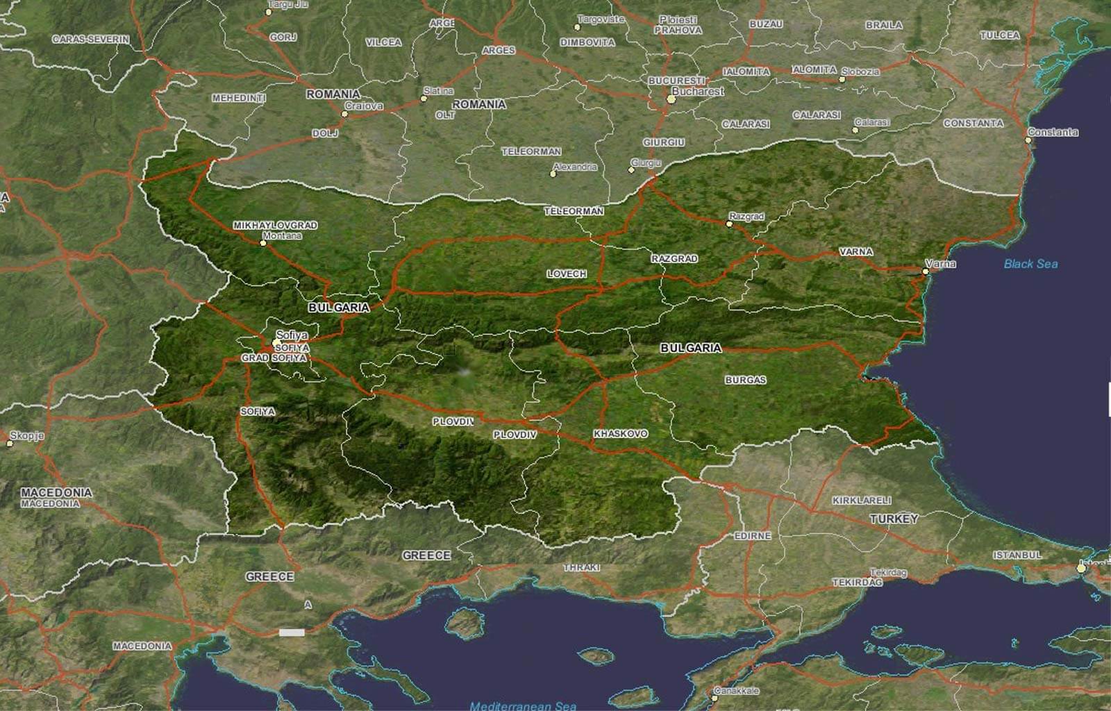
BULGARIA SATELLITE MAP
BULGARIA TERRAIN MAP
BULGARIA TOPOGRAPHIC MAP
BULGARIA TRANSPORTATION MAP
BULGARIA VINTAGE POLITICAL MAP
WHERE IS BULGARIA ON EUROPE MAP
- Head of Performance Marketing
- Head of SEO
- Linkedin Profile: linkedin.com/in/arifcagrici