Congo Map FQA
How many cities are in Congo ?
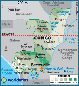
Congo (Republic of the Congo) has about 15 main cities. The largest are: Brazzaville, Pointe-Noire, Dolisie, Nkayi, Impfondo, Ouesso, Madingou, Gamboma, Kinkala, and Sibiti.
What are the major geographical features of Congo ?
The Republic of the Congo is characterized by tropical rainforests, savannas, and river systems. The Congo River and its tributaries dominate the landscape, while the Mayombe Mountains and Batéké Plateau add variation.
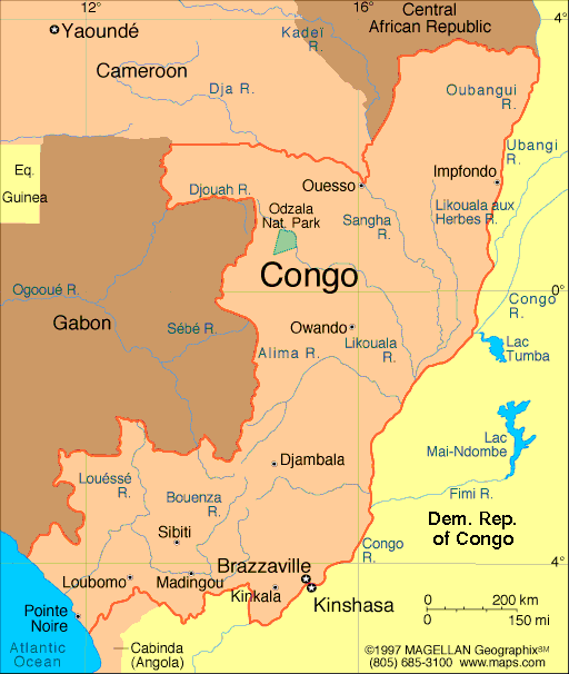
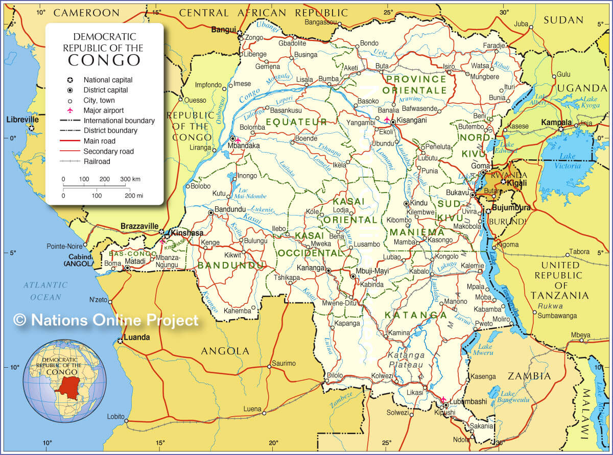
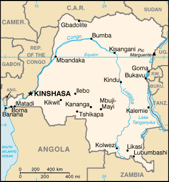
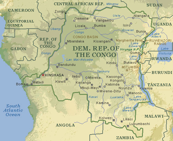
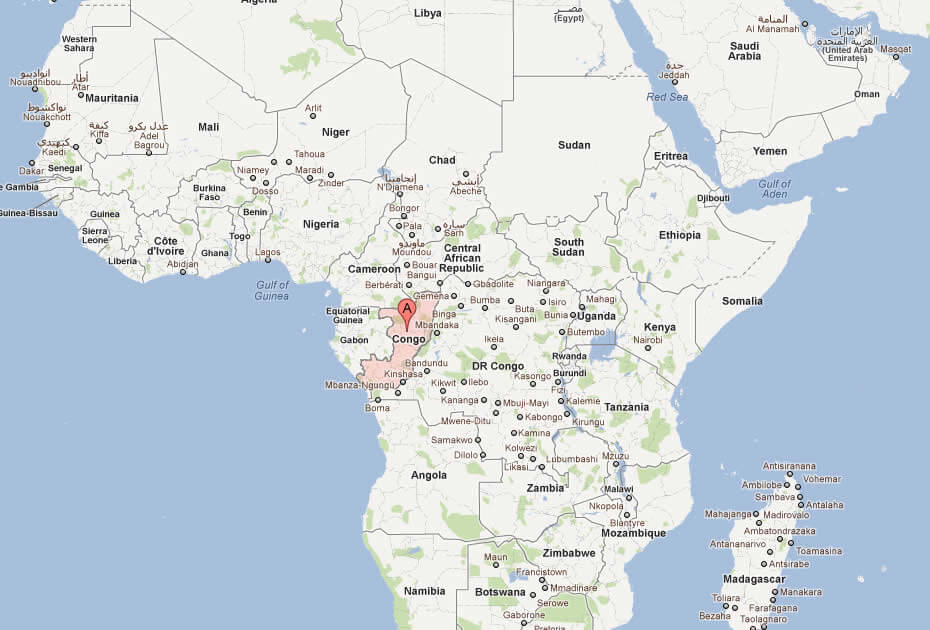
MAP OF CONGO

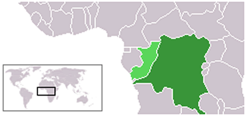
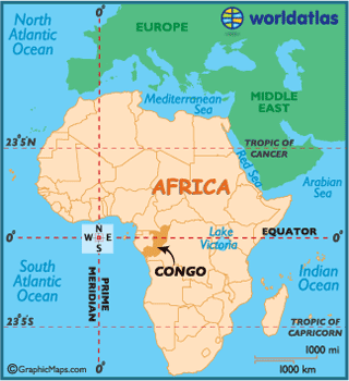
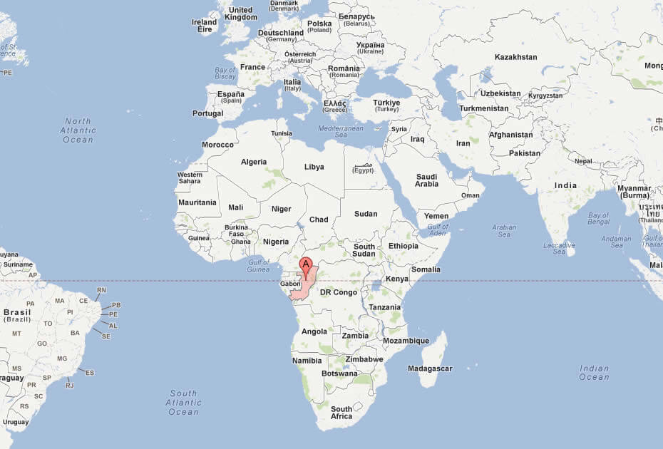
WHERE IS CONGO IN THE WORLD
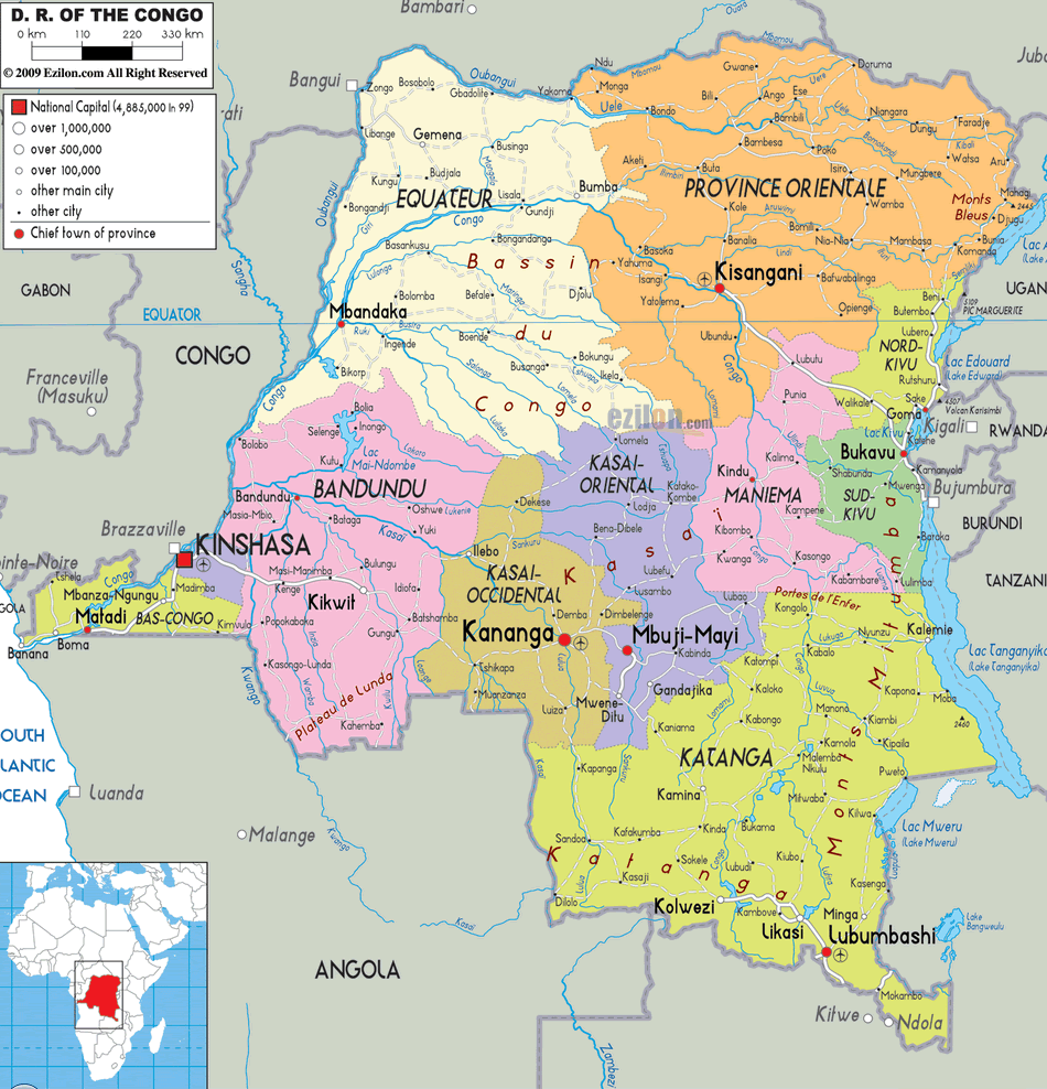
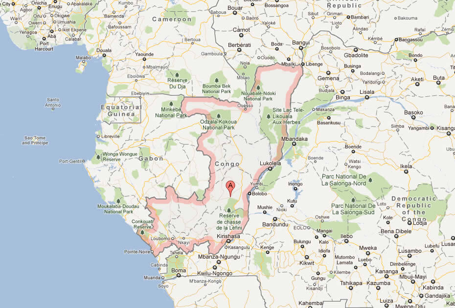
CONGO PROVINCIAL MAP
Can I download a high-resolution map of Congo ?
Yes. Download high-resolution political and physical maps of Congo for personal or educational use. Redistribution is subject to the terms of our license.
- Capital :
Brazzaville
- Population :
4,366,266
- GDP :
$18.250 billion
- Per Capita :
$4,589
- Calling Code :
+242
- Jobless Rate :
51.40%
- Time Zone :
+1
With interactive Congo Map, view regional highways maps, road situations, transportation, lodging guide, geographical map, physical maps and more information. On Congo Map, you can view all states, regions, cities, towns, districts, avenues, streets and popular centers' satellite, sketch and terrain maps.
For more about Congo >>
A Collection of Congo Maps and Congo Satellite Images
MAP OF CONGO

WHERE IS CONGO IN THE WORLD
CONGO PROVINCIAL MAP
CONGO MAP
CONGO MAP
CONGO POLITICAL MAP
CONGO MAP
CONGO MAP
CONGO MAP AFRICA
MAP OF CONGO AFRICA
MAP OF CONGO WORLD
MAP OF CONGO
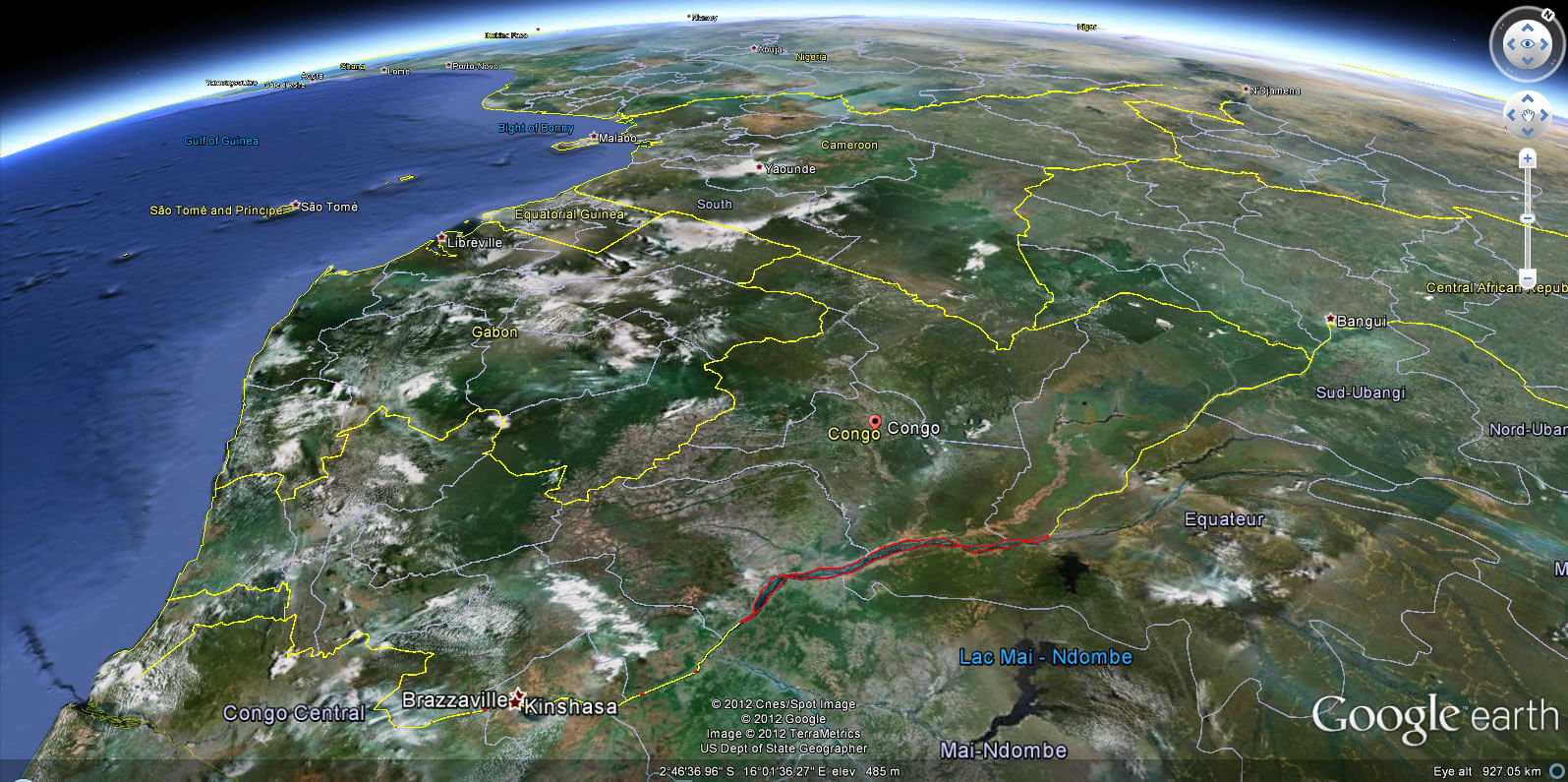
CONGO EARTH MAP
Author: Arif Cagrici
