Gambia Map FQA
How many cities are in Gambia ?
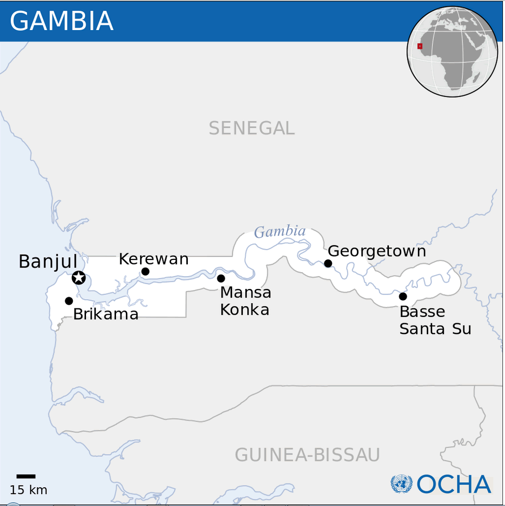
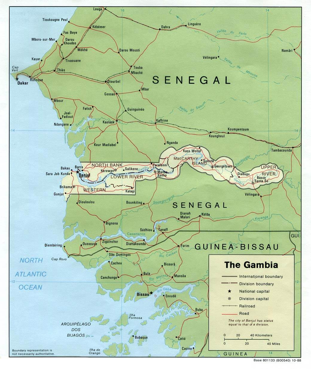
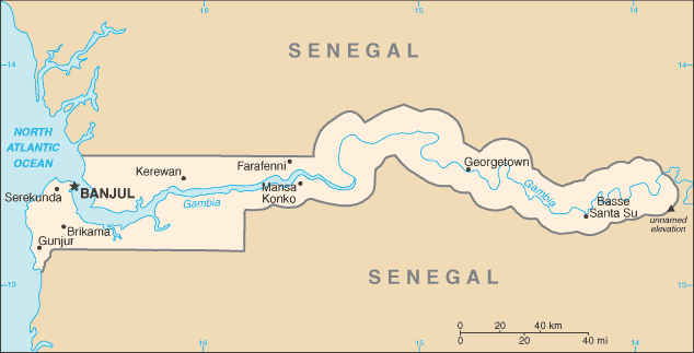
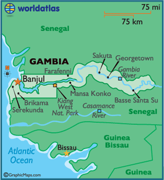
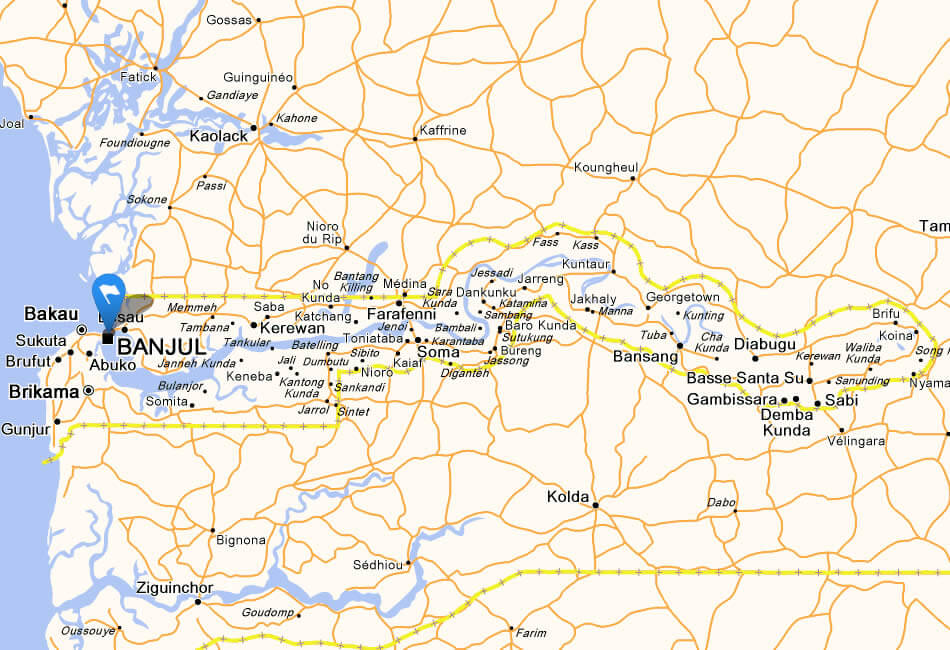
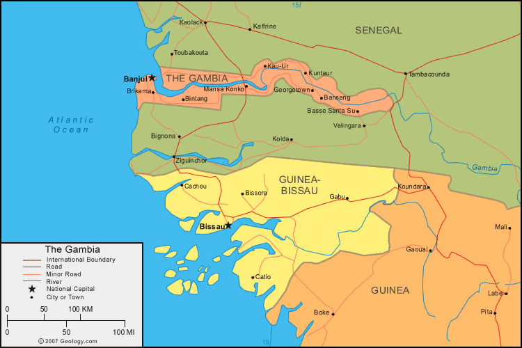
The Gambia has a few main towns. The largest are: Serekunda, Brikama, Bakau, Banjul, Farafenni, Lamin, Sukuta, Basse Santa Su, Soma, and Barra.
What are the major geographical features of Gambia ?
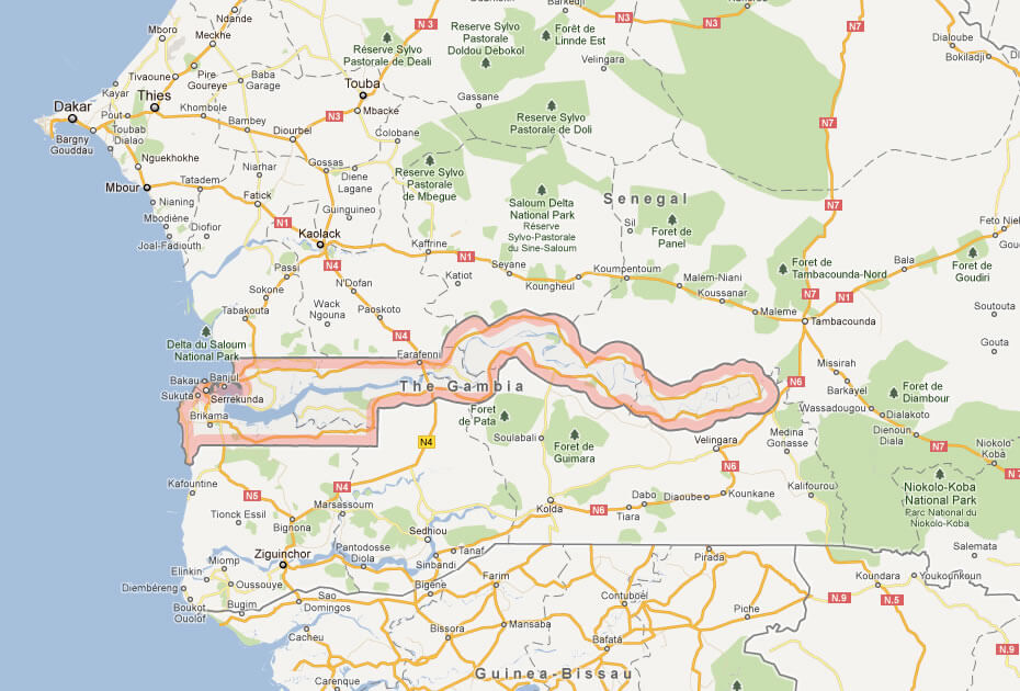
The Gambia is a narrow country in West Africa centered around the Gambia River. It features floodplains, mangroves, and low hills, with a short Atlantic coastline.
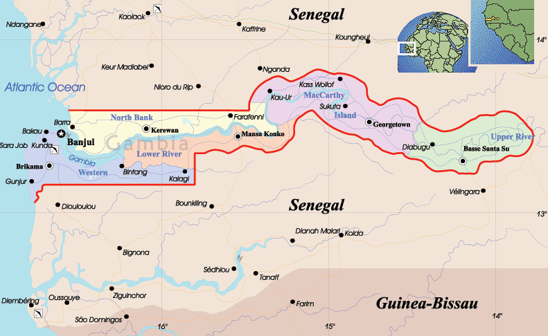
MAP OF GAMBIA

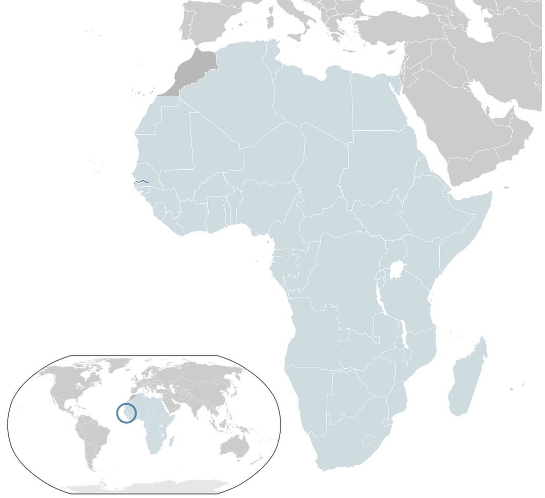
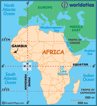
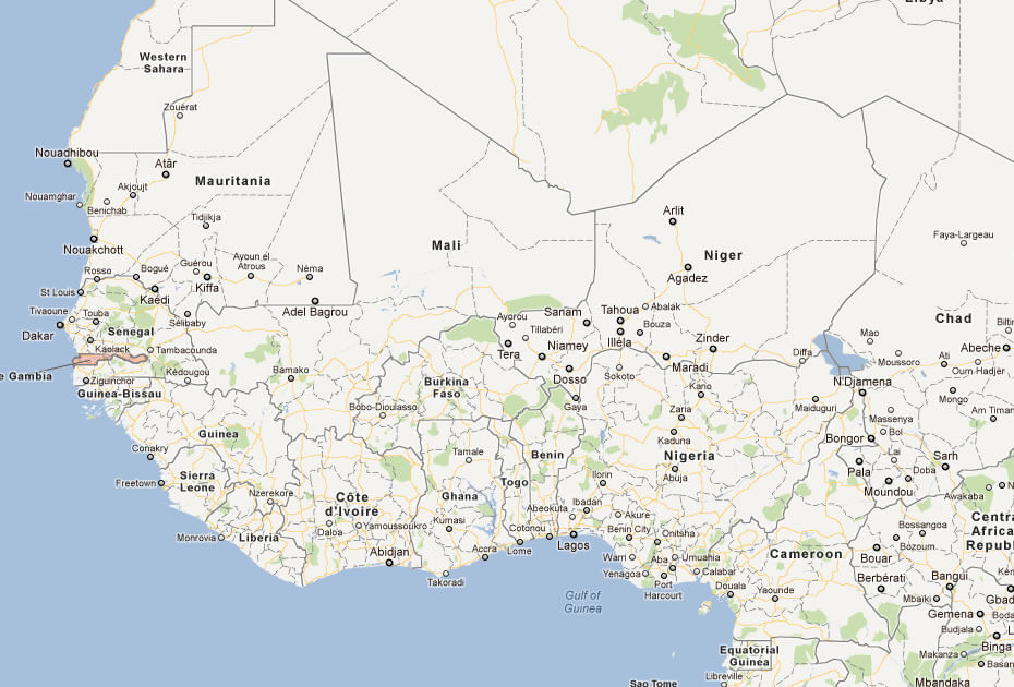
GAMBIA LOCATION MAP
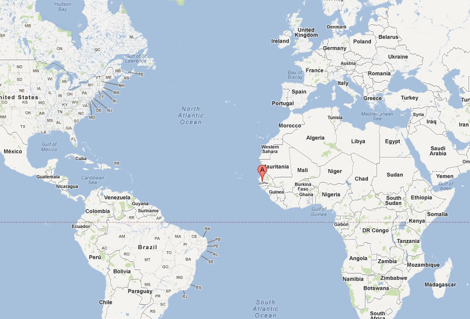
WHERE IS GAMBIA IN THE WORLD
Can I download a high-resolution map of Gambia ?
Yes. Download high-resolution political and physical maps of Gambia for personal or educational use. Redistribution is subject to the terms of our license.

- Capital :
Banjul
- Population :
1,782,893
- GDP :
$977 million
- Per Capita :
$543
- Calling Code :
+220
- Jobless Rate :
6.00%
- Time Zone :
+0
With interactive Gambia Map, view regional highways maps, road situations, transportation, lodging guide, geographical map, physical maps and more information. On Gambia Map, you can view all states, regions, cities, towns, districts, avenues, streets and popular centers' satellite, sketch and terrain maps.
For more about Gambia >>
A Collection of Gambia Maps and Gambia Satellite Images
MAP OF GAMBIA

GAMBIA LOCATION MAP
WHERE IS GAMBIA IN THE WORLD
GAMBIA PHYSICAL MAP
GAMBIA POLITICAL MAP
GAMBIA MAP
MAP OF GAMBIA AFRICA
MAP OF GAMBIA WEST AFRICA
MAP OF GAMBIA WORLD
MAP OF GAMBIA
MAP OF GAMBIA
MAP OF GAMBIA
THE GAMBIA MAP
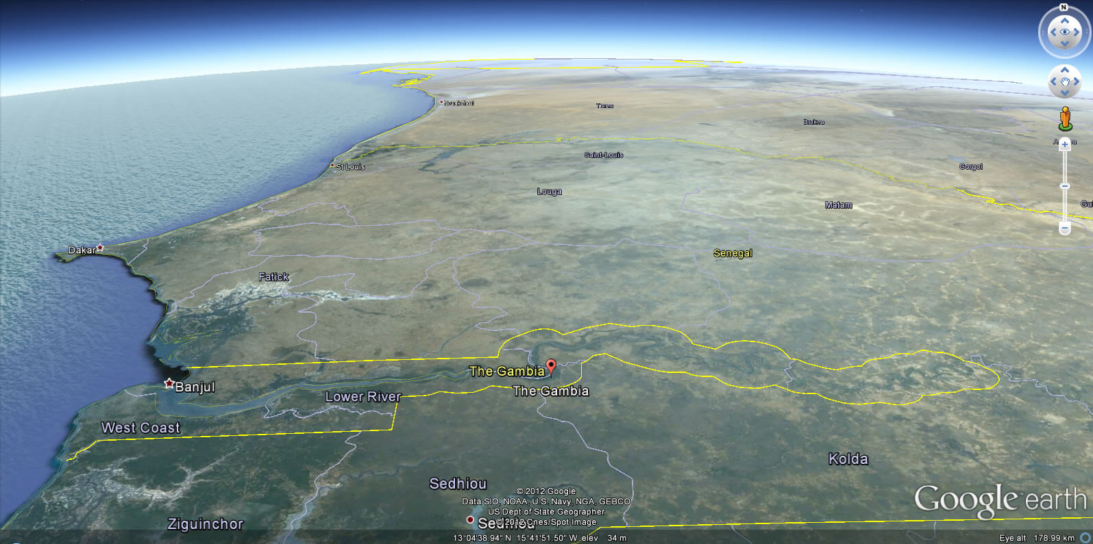
GAMBIA EARTH MAP
Author: Arif Cagrici
