Haiti Map
Navigate Haiti Map, Haiti countries map, satellite images of the Haiti, Haiti largest cities maps, political map of Haiti, driving directions and traffic maps.
Haiti Map FQA
How many cities are in Haiti ?
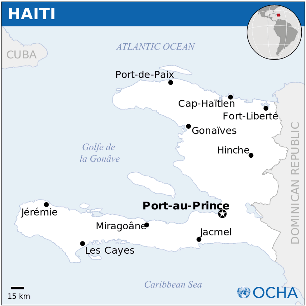
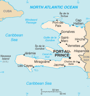
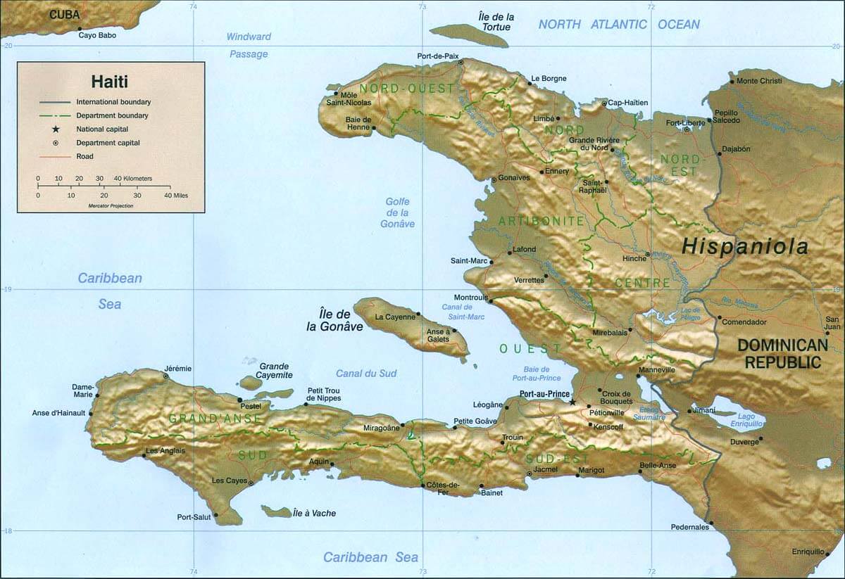
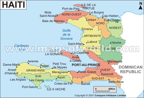
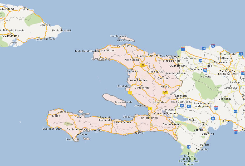
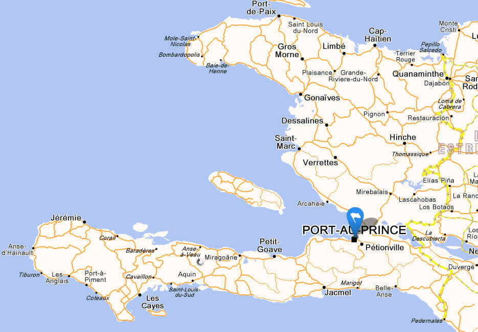
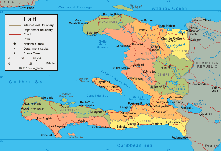
Haiti has about 20 cities. The 10 largest are: Port-au-Prince, Carrefour, Delmas, Pétion-Ville, Cap-Haïtien, Gonaïves, Saint-Marc, Les Cayes, Jacmel, and Jérémie.What are the major geographical features of Haiti ?
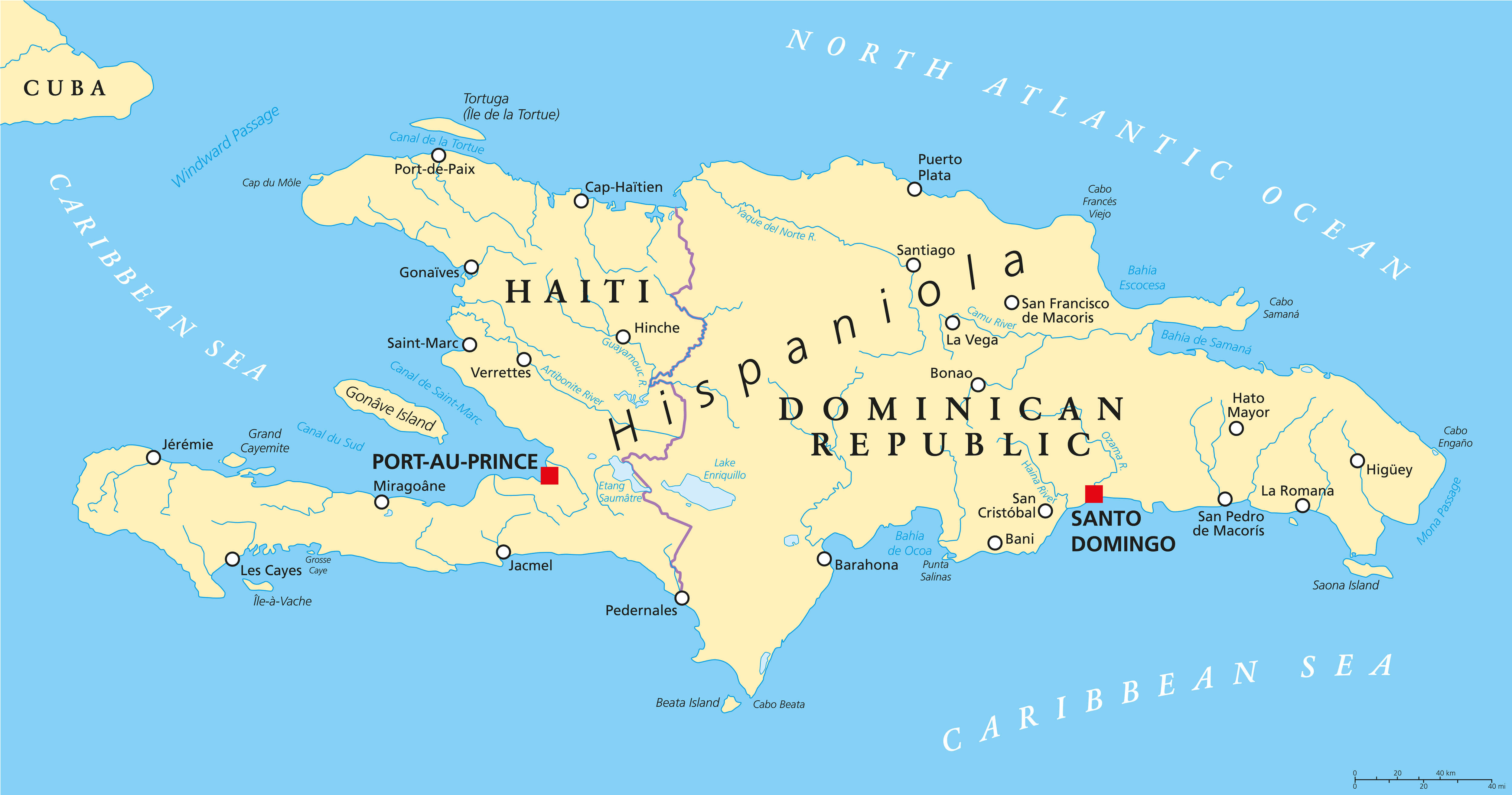
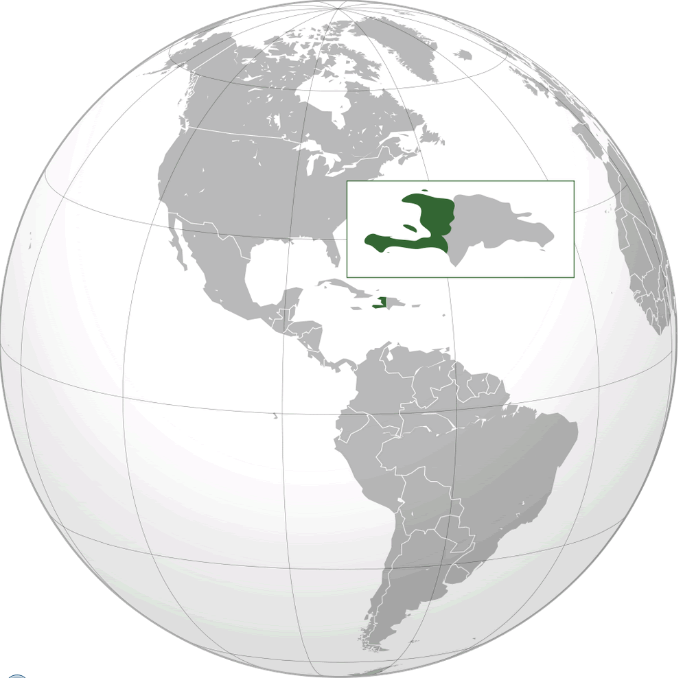
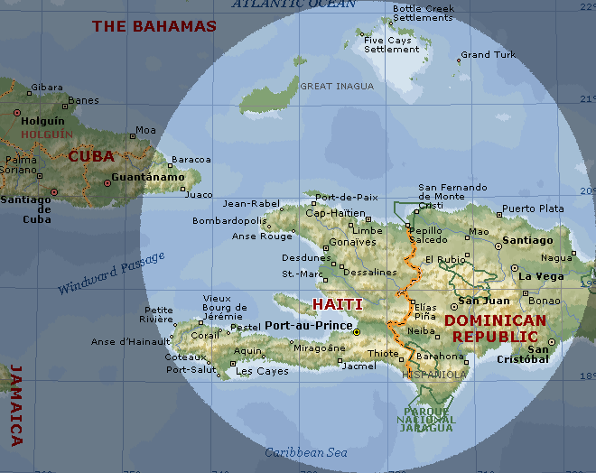
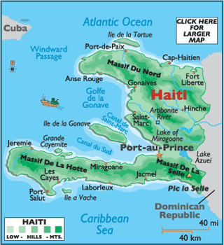
Haiti occupies the western third of the island of Hispaniola in the Caribbean. It is mountainous, with ranges such as the Massif de la Hotte and Massif du Nord. The country also has coastal plains and river valleys.POLITICAL MAP HAITI DOMINICAN REPUBLIC

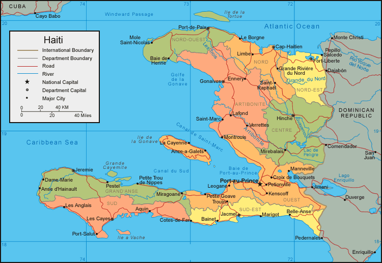
MAP OF HAITI
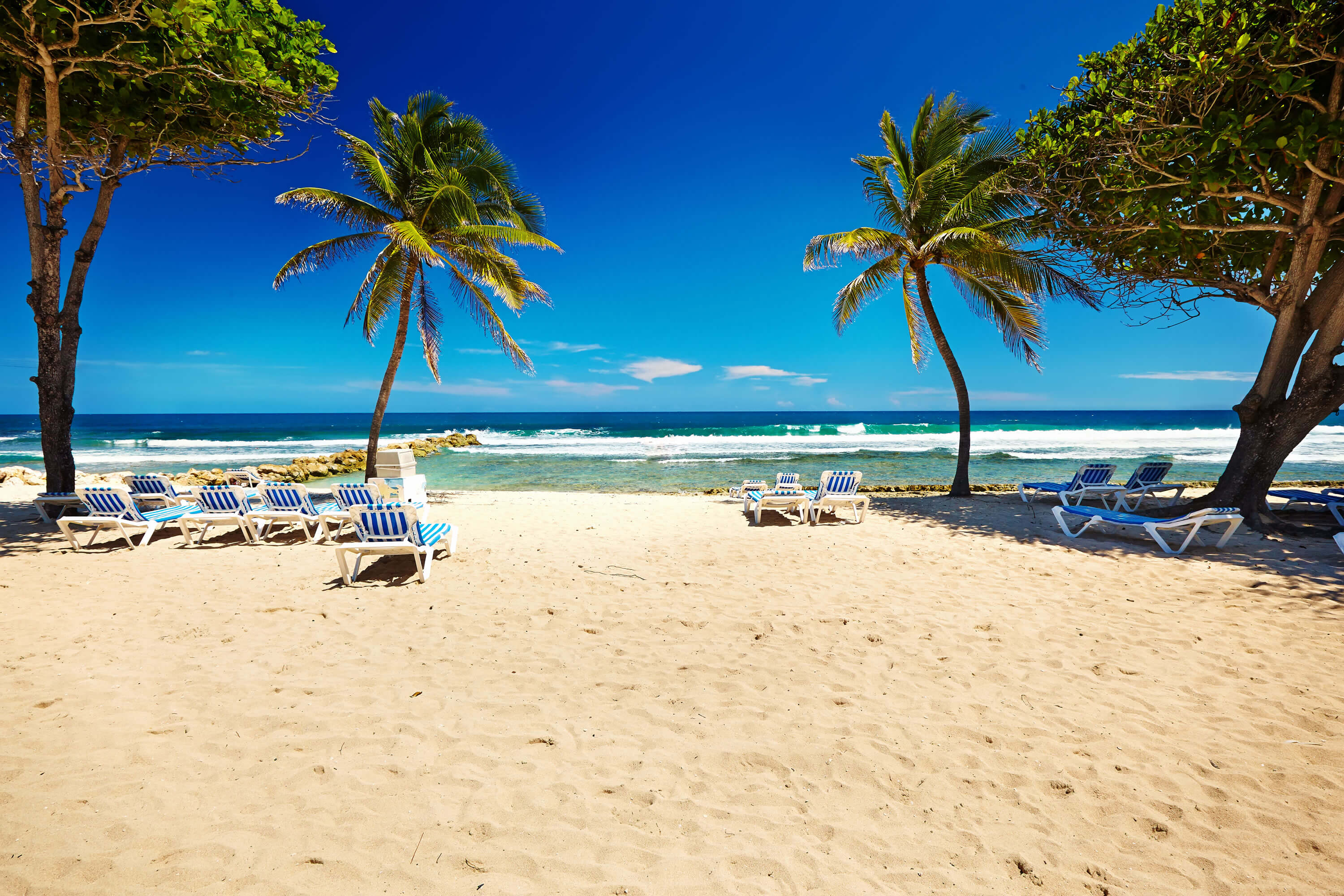
HAITI CARIBBEAN BEACH
Can I download a high-resolution map of Haiti ?
Yes. Download high-resolution political and physical maps of Haiti for personal or educational use. Redistribution is subject to the terms of our license.
- Capital : Port-au-Prince
- Population : 9,719,932
- GDP : $7.388 billion
- Per Capita : $738
- Calling Code : +509
- Jobless Rate : 40.60%
- Time Zone : -5
For more about Haiti >>
A Collection of Haiti Maps and Haiti Satellite Images
POLITICAL MAP HAITI DOMINICAN REPUBLIC
MAP OF HAITI

HAITI CARIBBEAN BEACH
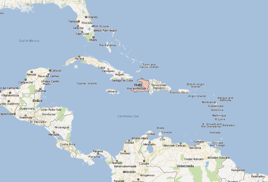
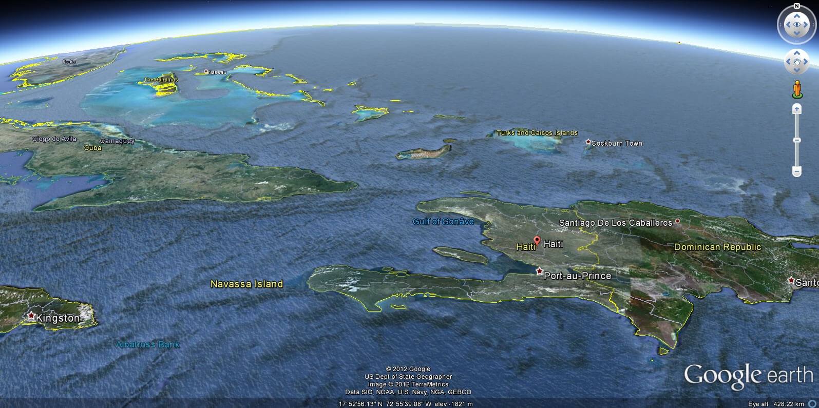
HAITI LOCATION MAP
WHERE IS HAITI IN THE WORLD
HAITI CITIES MAP
HAITI MAP
HAITI PHYSICAL MAP
HAITI CITIES MAP
HAITI MAP
HAITI MAP
HAITI MAP
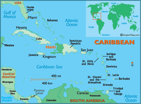
MAP OF HAITI CARIBBEAN
MAP OF HAITI WORLD

MAP OF HAITI
MAP HAITI
PHYSICAL MAP OF HAITI

POLITICAL MAP OF HAITI
HAITI EARTH MAP
- Head of Performance Marketing
- Head of SEO
- Linkedin Profile: linkedin.com/in/arifcagrici