Tanzania Map FQA
How many cities are in Tanzania ?
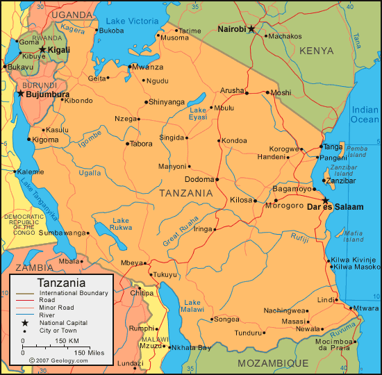
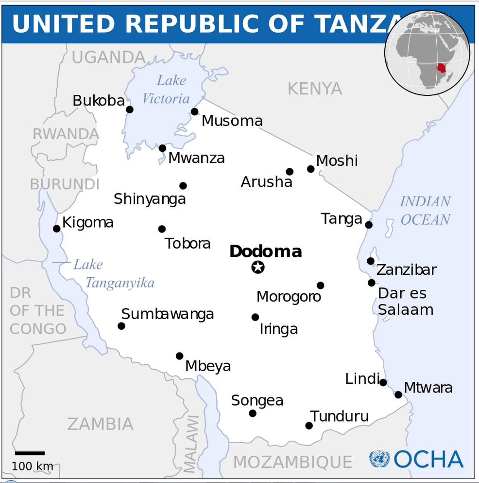
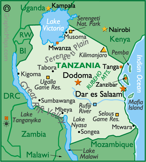
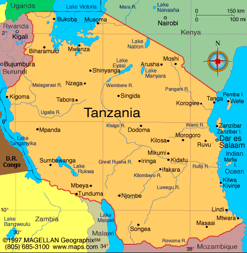
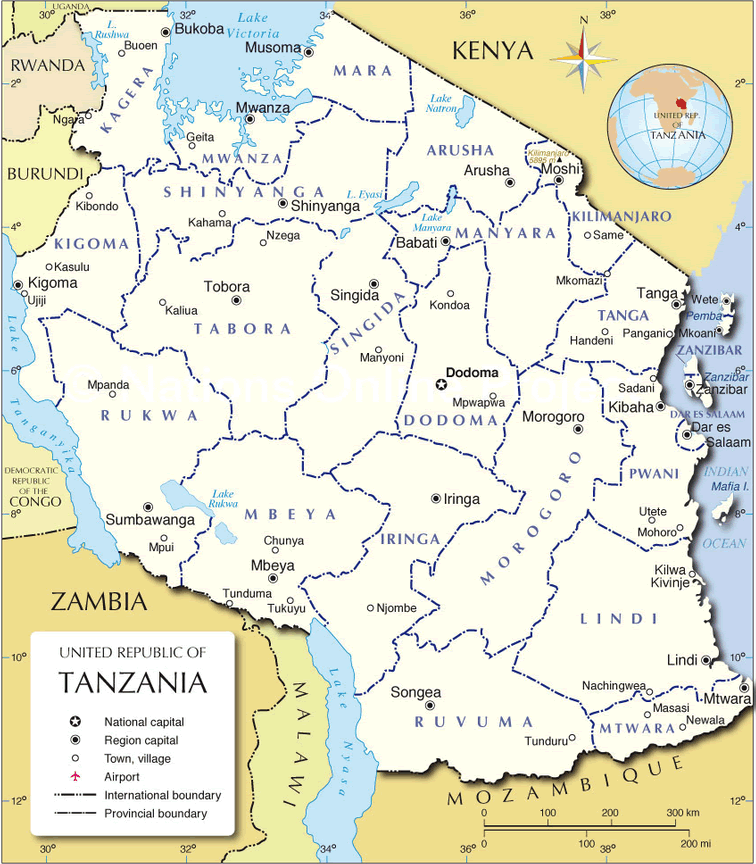
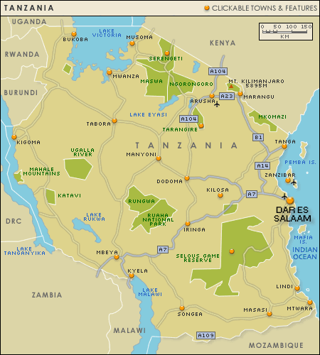
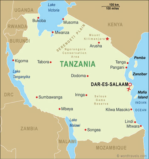
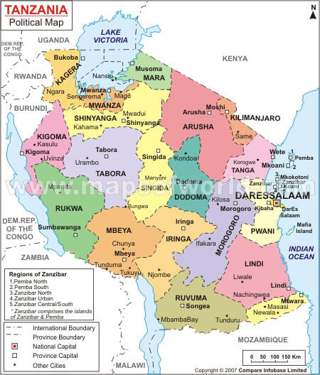
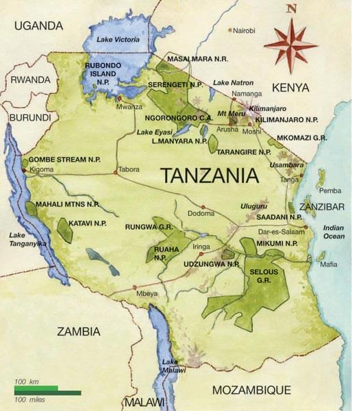
Tanzania has more than 10 major cities. The largest by population are: Dar es Salaam; Mwanza; Arusha; Dodoma; Mbeya; Morogoro; Tanga; Kahama; Tabora; Kigoma.
What are the major geographical features of Tanzania ?
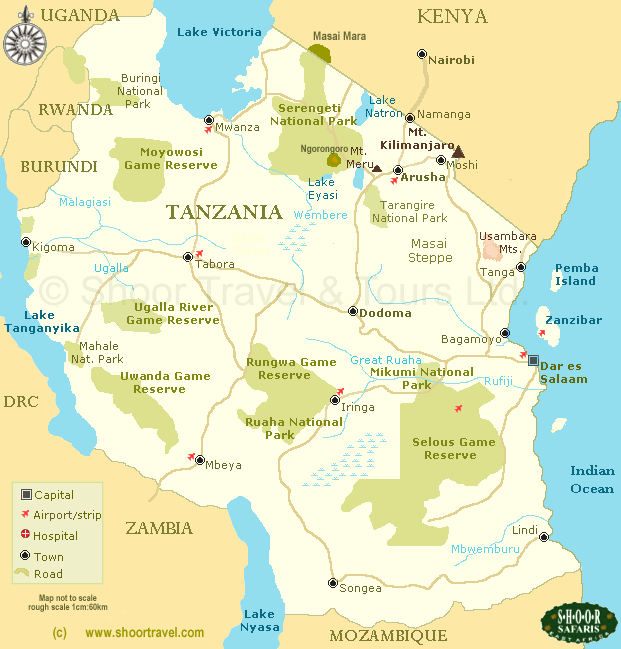
Tanzania in East Africa features Mount Kilimanjaro, the Serengeti plains, and the Great Rift Valley. It also includes large lakes such as Lake Victoria, Lake Tanganyika, and Lake Nyasa, as well as coastal plains along the Indian Ocean.
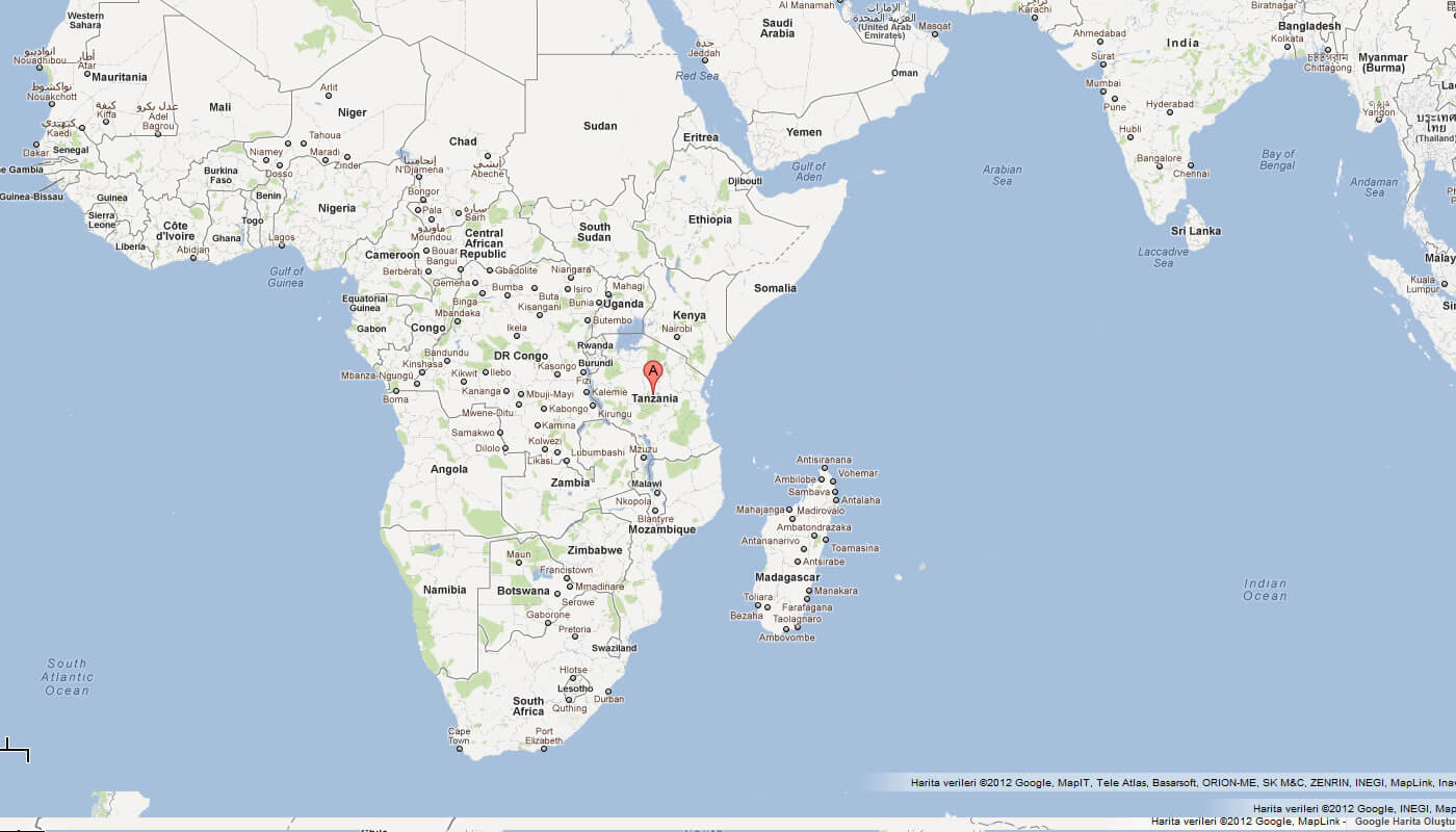
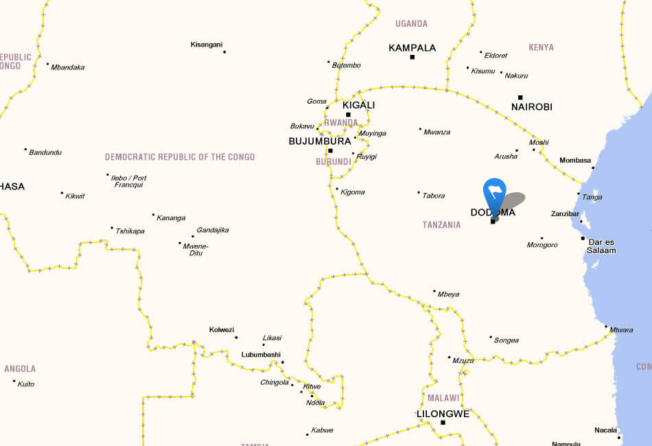
MAP OF TANZANIA
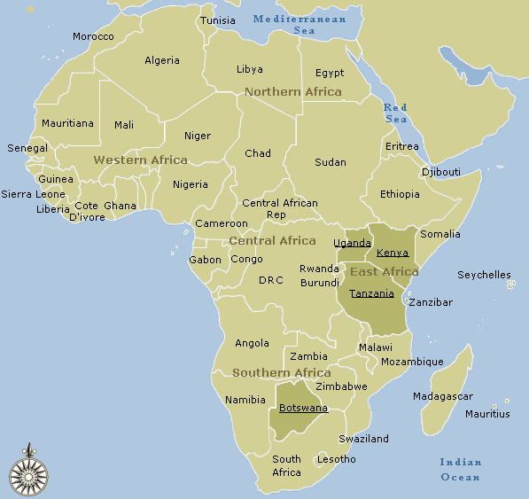
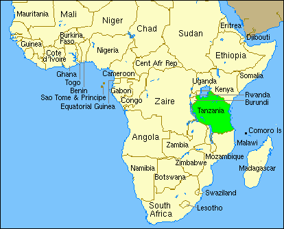
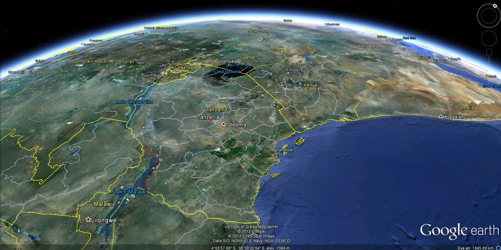
TANZANIA LOCATION MAP
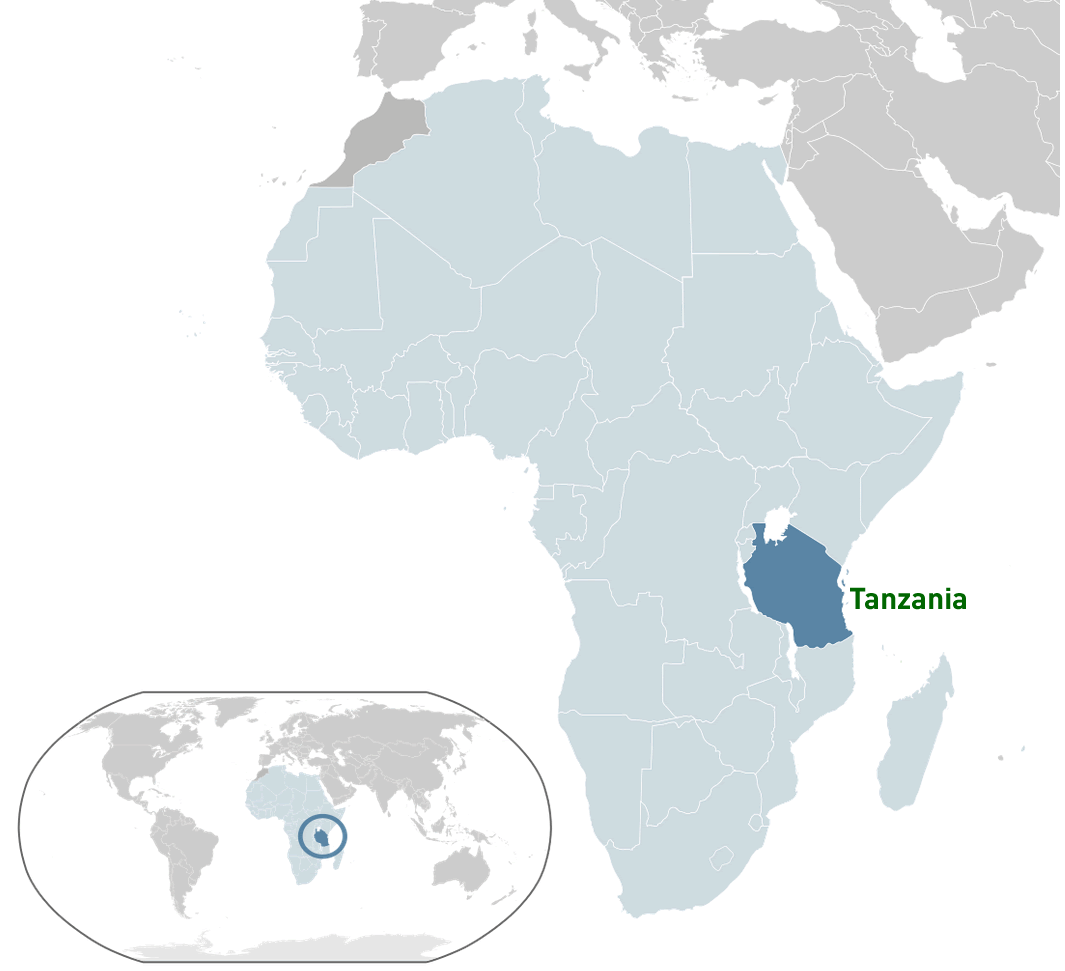
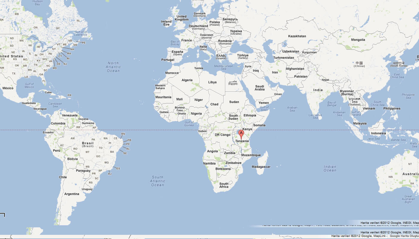
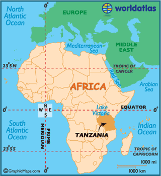
WHERE IS TANZANIA IN THE WORLD
Can I download a high-resolution map of Tanzania ?
Yes. Download high-resolution political and physical maps of Tanzania for personal or educational use. Redistribution is subject to the terms of our license.
- Capital :
Dodoma
- Population :
44,929,002
- GDP :
$23.333 billion
- Per Capita :
$553
- Calling Code :
+255
- Jobless Rate :
10.70%
- Time Zone :
+3
With interactive Tanzania Map, view regional highways maps, road situations, transportation, lodging guide, geographical map, physical maps and more information. On Tanzania Map, you can view all states, regions, cities, towns, districts, avenues, streets and popular centers' satellite, sketch and terrain maps.
For more about Tanzania >>
A Collection of Tanzania Maps and Tanzania Satellite Images
MAP OF TANZANIA

TANZANIA LOCATION MAP
WHERE IS TANZANIA IN THE WORLD
MAP OF TANZANIA AFRICA
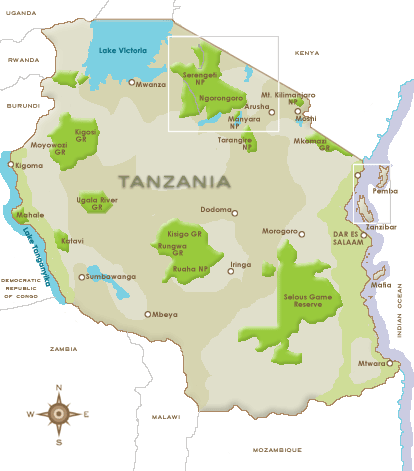
MAP OF TANZANIA NATIONAL PARK
MAP OF TANZANIA WORLD
MAP OF TANZANIA
MAP OF AFRICA TANZANIA
MAP TANZANIA
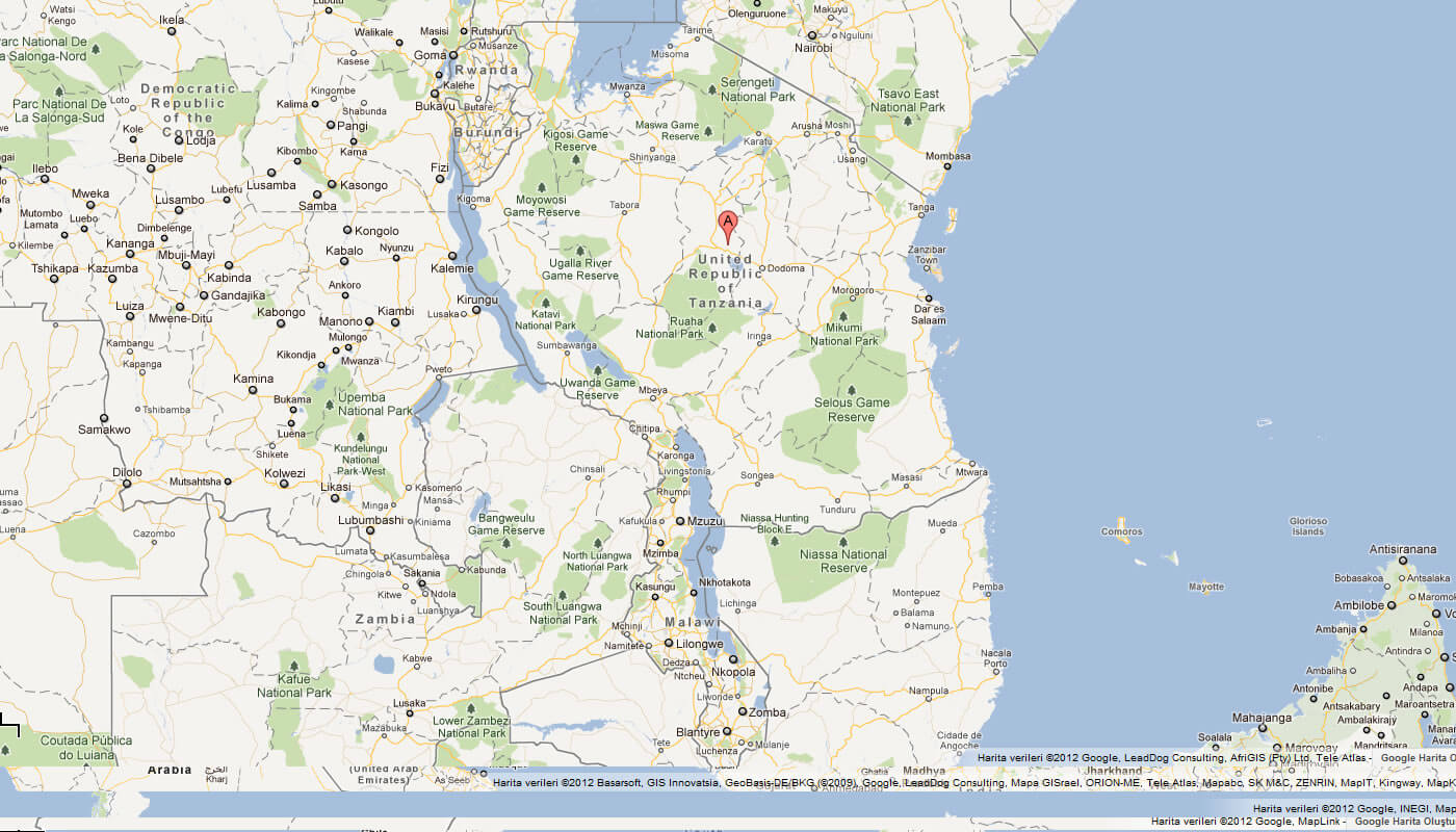
REGIONAL MAP OF TANZANIA
TANZANIA MAP
TANZANIA NATIONAL PARK MAP
TANZANIA POLITICAL MAP
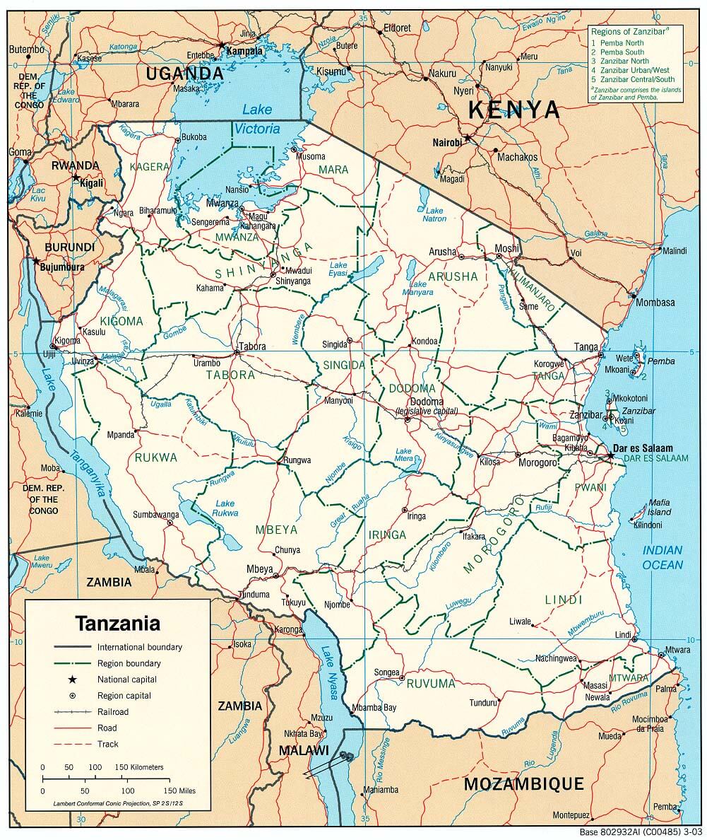
TANZANIA REGIONAL MAP
TANZANIA MAP
TANZANIA MAPS
TANZANIA MAP
TANZANIA MAP AFRICA
TANZANIA POLITICAL MAP
TANZANIA REGIONS MAP
TANZANIAMAP AFRICA
TANZANIA EARTH MAP
Author: Arif Cagrici
