About Christmas Island and Country Statistics
Christmas Island has a population of 1,402 people, Christmas Island's capital city is Flying Fish Cove and largest city Flying Fish Cove.
Christmas Island personel income per capita , jobless rate and its currency Australian dollar (AUD) . Christmas Island official languages and mostly spoken dialects are English, ethnics groups : 70% Chinese, 20% European, 10% Malay.
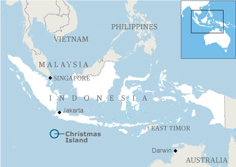
For more >> Christmas Island Maps
- Capital : Flying Fish Cove
- Population : 1,402
- GDP :
- Per Capita :
- Calling Code : +61
- Jobless Rate :
- Area : 10.39/km2 (26.96/sq mi)
- Largest City : Flying Fish Cove
- President : Quentin Bryce
- Prime Minister : Brian Lacy
- Currency : Australian dollar (AUD)
- Time Zone : +7
- Internet Ext. : .cx
- Inflation Rate :
- Interest Rate :
- Debt GDP :
- Languages : English
- Ethnicity : 70% Chinese, 20% European, 10% Malay
Click for Christmas Island Map!
Christmas Island has 10.39/km2 (26.96/sq mi), its GDP (Gross Domestic Product) is . Christmas Island president Quentin Bryce and prime minister Brian Lacy.Christmas Island Economy
Christmas Island GDP : , Per Capita :
Jobless Rate : , Currency : Australian dollar (AUD)
Inflation Rate : , Interest Rate :
Debt GDP : , Internet Ext. : .cx
Calling Code : +61 , Time Zone : +7
Jobless Rate : , Currency : Australian dollar (AUD)
Inflation Rate : , Interest Rate :
Debt GDP : , Internet Ext. : .cx
Calling Code : +61 , Time Zone : +7
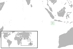
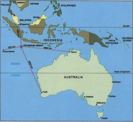
Where is Christmas Island & Map of Christmas Island
Christmas Island Demographics & Ethnicity
Christmas Island Population : 1,402, Area : 10.39/km2 (26.96/sq mi)
Christmas Island Capital : Flying Fish Cove, Largest City : Flying Fish Cove
Languages : English, Ethnicity : 70% Chinese, 20% European, 10% Malay.
Christmas Island Capital : Flying Fish Cove, Largest City : Flying Fish Cove
Languages : English, Ethnicity : 70% Chinese, 20% European, 10% Malay.
Christmas Island Goverment & Military
Christmas Island President : Quentin Bryce, Prime Minister : Brian Lacy
Christmas Island Religion & Culture
Christmas Island History
Christmas Island Geography & Climate
A Collection of Christmas Island Images, Photos and Maps
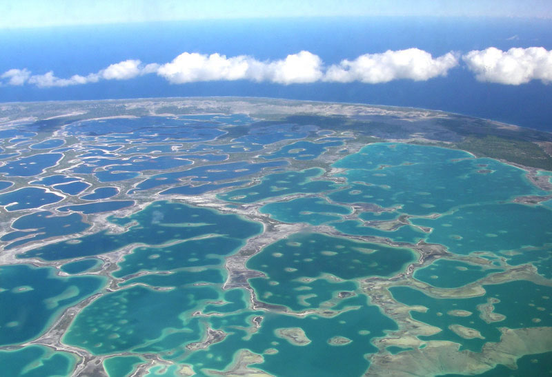
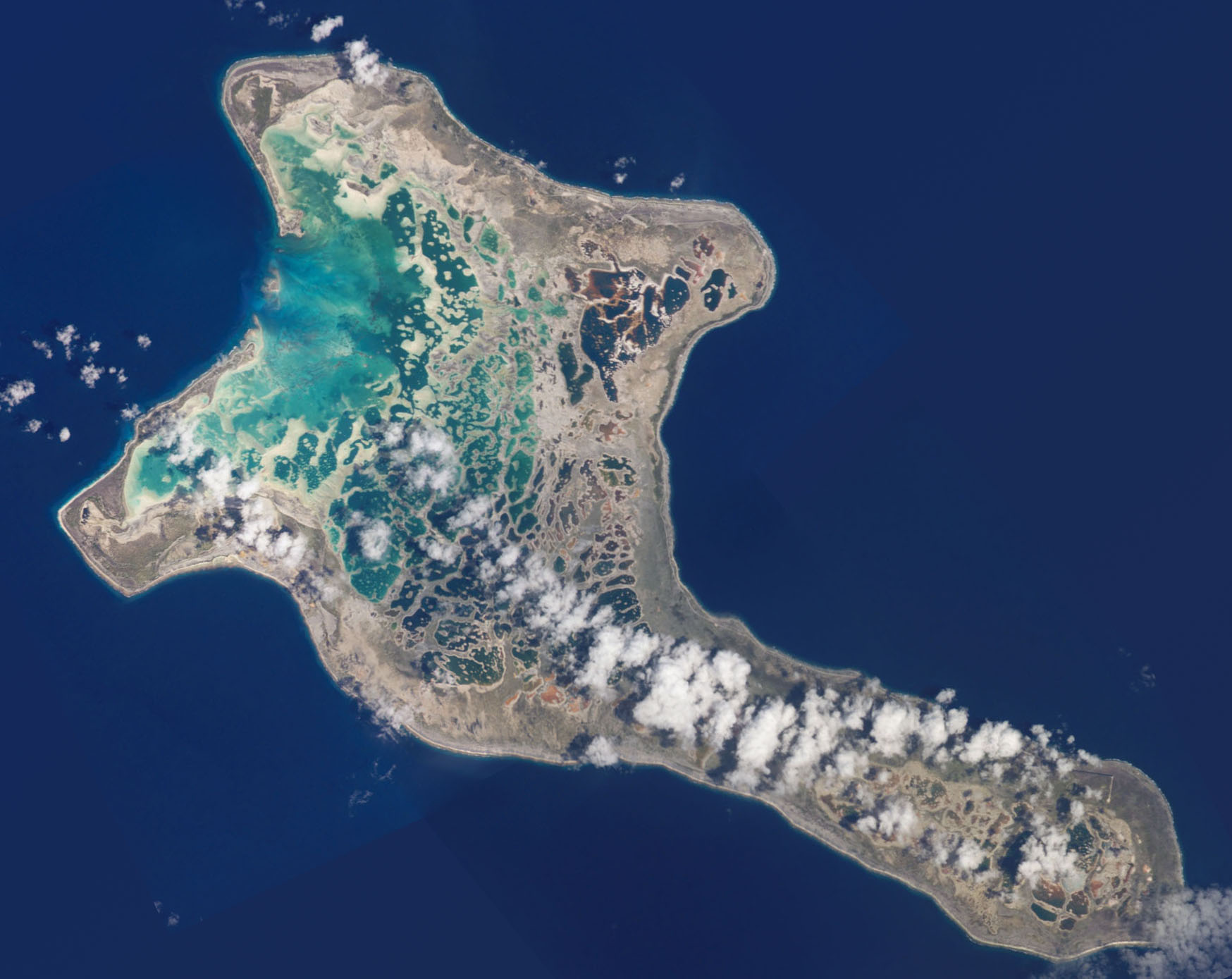
CHRISTMAS ISLAND AERIAL VIEW
CHRISTMAS ISLAND
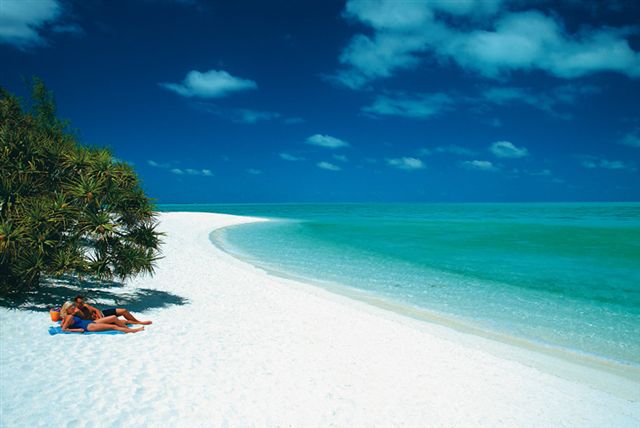
CHRISTMAS ISLAND BEACH
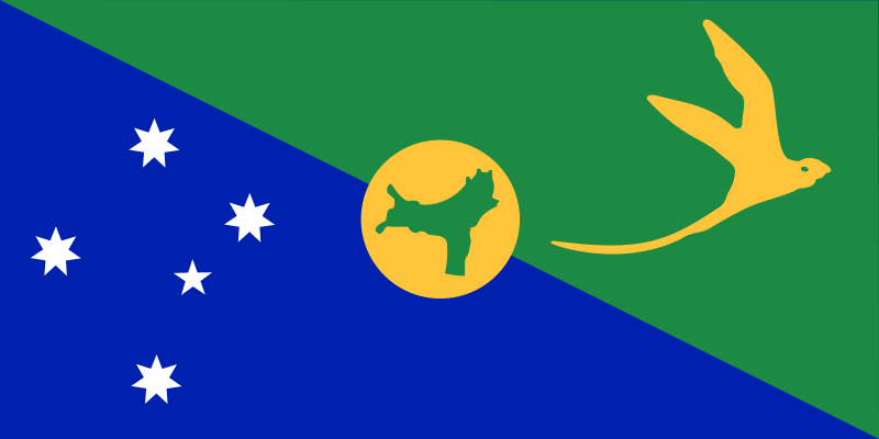
CHRISTMAS ISLAND FLAG
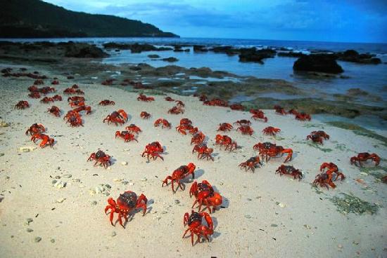
CRABS CHRISTMAS ISLAND
MAP OF CHRISTMAS ISLAND
RECIFES CHRISTMAS ISLAND

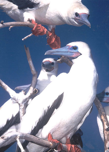
RED FOOTED BOOBY CHRISTMAS ISLAND
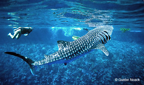
WHALESHARK CHRISTMAS ISLAND
WHERE IS CHRISTMAS ISLAND