Cook Islands Map FQA
How many cities are in Cook Islands ?
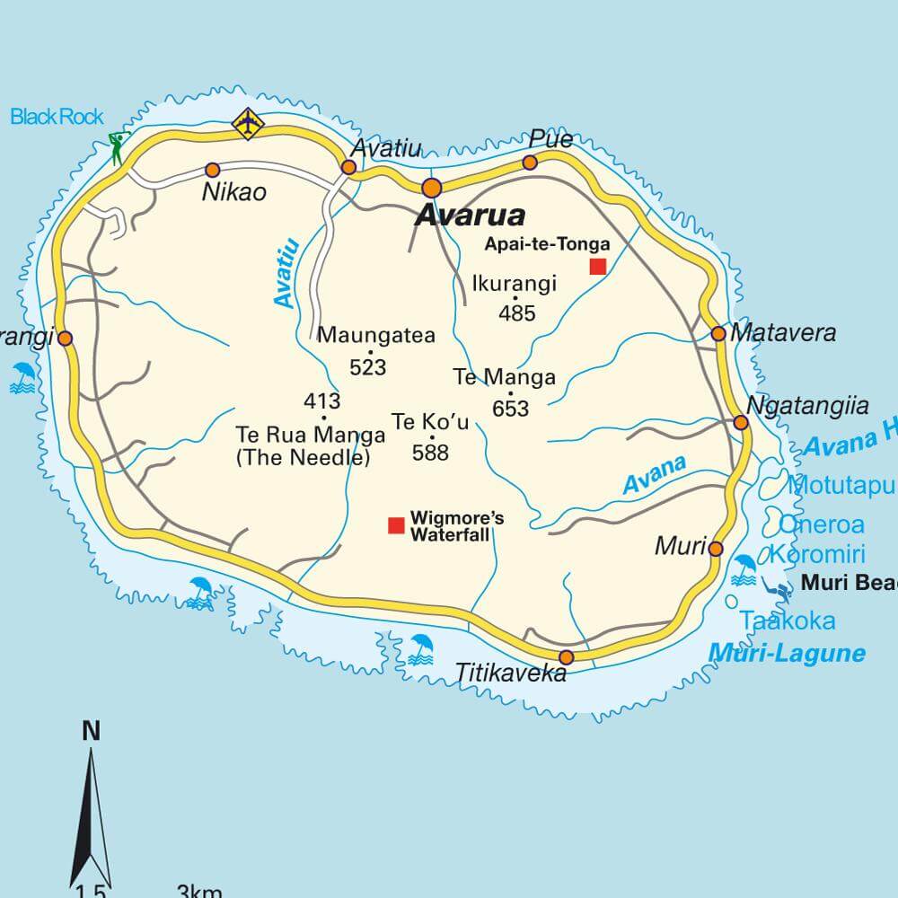
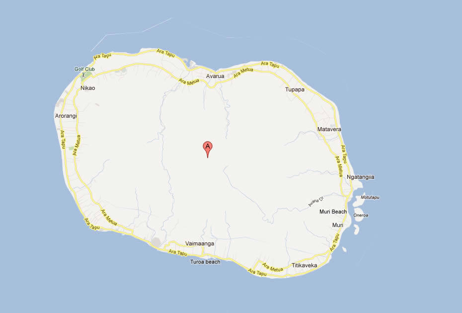
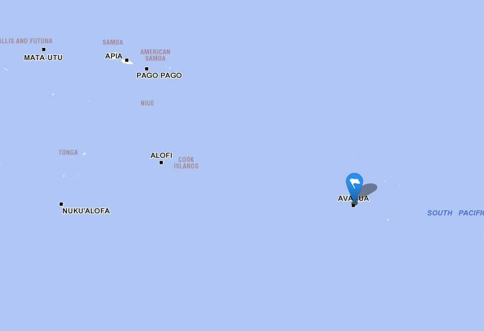
The Cook Islands has no large cities. The main settlements are Avarua, Arutanga, Omoka, Tauhunu, and Tautu.
What are the major geographical features of Cook Islands ?
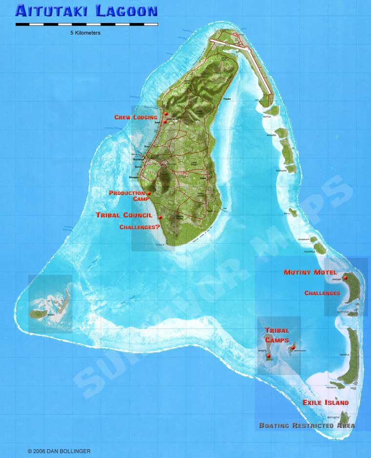
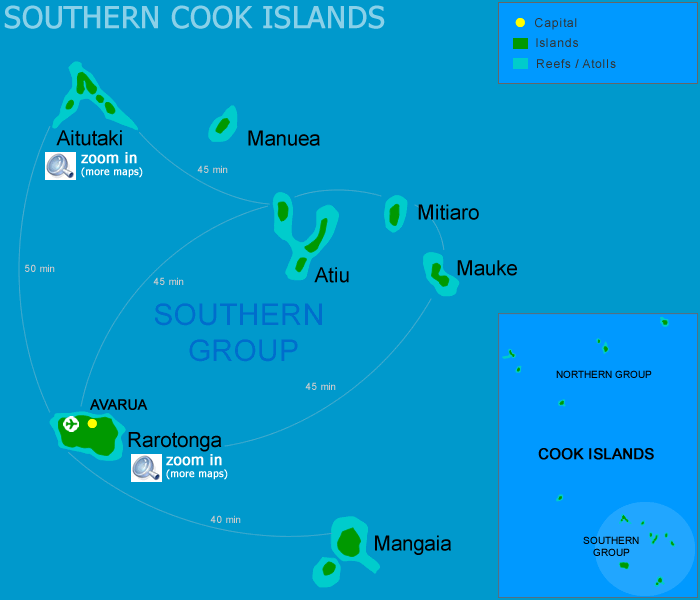
The Cook Islands in the South Pacific consist of 15 islands. They feature volcanic mountains, coral atolls, lagoons, and sandy beaches. Rarotonga is the largest island with rugged peaks.
MAP OF COOK ISLANDS
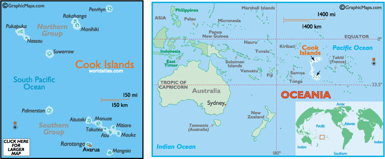
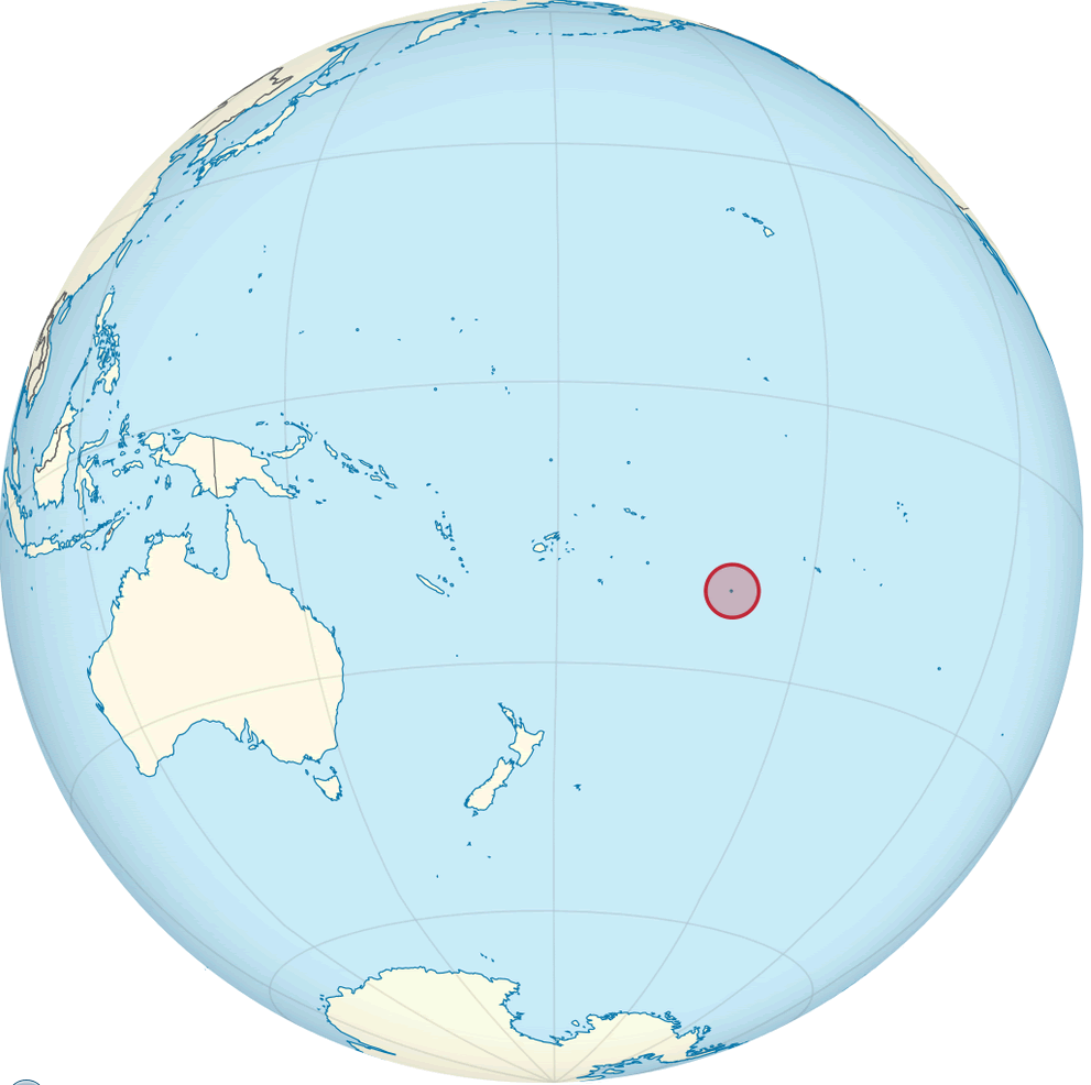
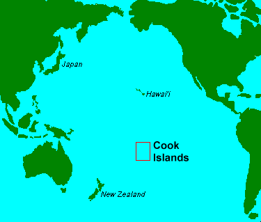
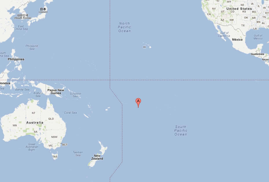
COOK ISLANDS LOCATION MAP

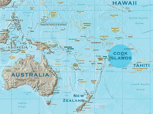
WHERE IS COOK ISLANDS IN THE WORLD
Can I download a high-resolution map of Cook Islands ?
Yes. Download high-resolution political and physical maps of Cook Islands for personal or educational use. Redistribution is subject to the terms of our license.
- Capital :
Avarua
- Population :
19,569
- GDP :
$183.2 million
- Per Capita :
$9,100
- Calling Code :
+682
- Jobless Rate :
N/A
- Time Zone :
-10
With interactive Cook Islands Map, view regional highways maps, road situations, transportation, lodging guide, geographical map, physical maps and more information. On Cook Islands Map, you can view all states, regions, cities, towns, districts, avenues, streets and popular centers' satellite, sketch and terrain maps.
A Collection of Cook Islands Maps and Cook Islands Satellite Images
MAP OF COOK ISLANDS

COOK ISLANDS LOCATION MAP
WHERE IS COOK ISLANDS IN THE WORLD
COOK ISLANDS MAP AVARUA
COOK ISLANDS MAP WORLD

COOK ISLANDS MAP
COOK ISLANDS MAP
COOK ISLANDS USA AUSTRALIA
COOK ISLANDS MAP
COOK ISLANDS MAP
MAP OF COOK ISLANDS WORLD
MAP OF COOK ISLANDS
MAP OF COOK ISLANDS OCEANIA
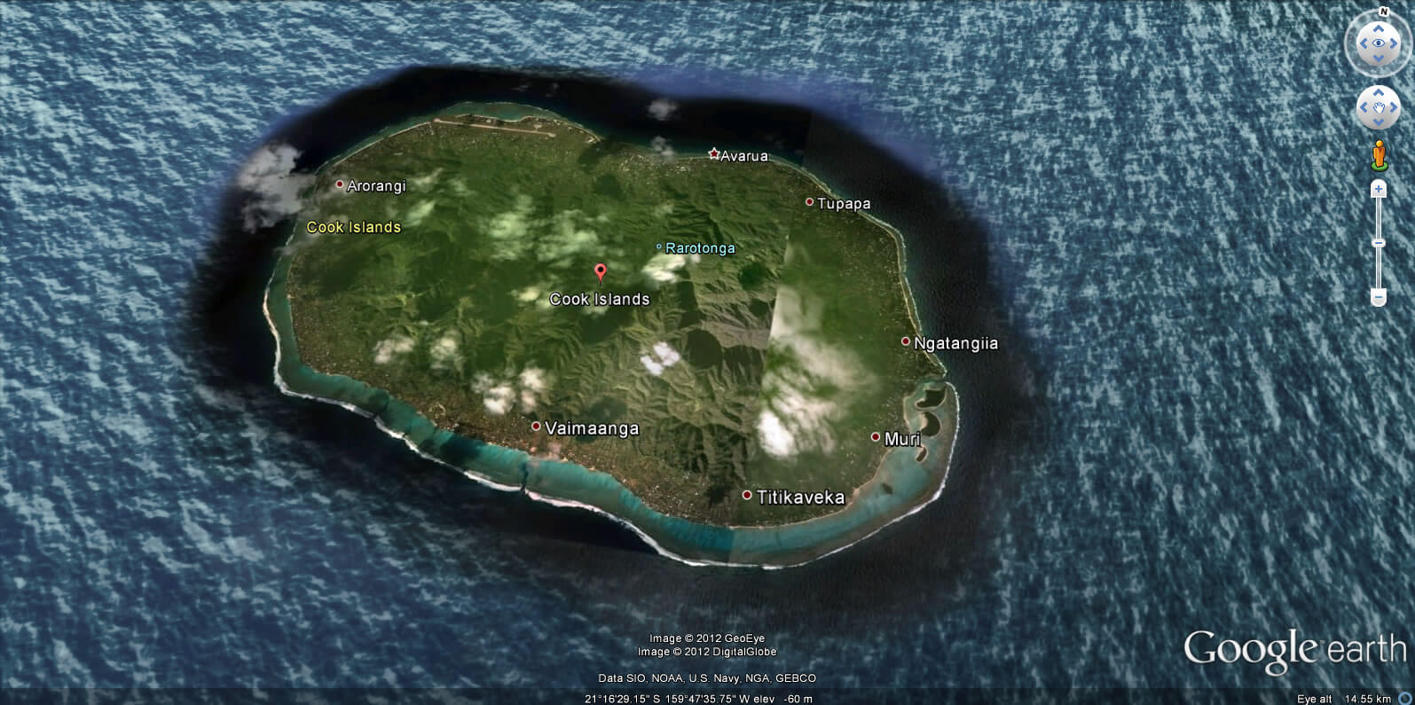
COOK ISLANDS EARTH MAP
Author: Arif Cagrici
Largest Cities' Map of Cook Islands
