El Salvador Map
Navigate El Salvador Map, El Salvador countries map, satellite images of the El Salvador, El Salvador largest cities maps, political map of El Salvador, driving directions and traffic maps.
El Salvador Map FQA
How many cities are in El Salvador ?
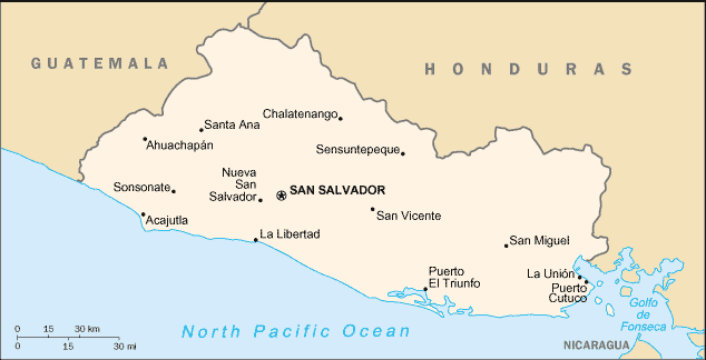
El Salvador has about 20 cities. The 10 largest are: San Salvador, Soyapango, Santa Ana, San Miguel, Mejicanos, Apopa, Delgado, Santa Tecla, Ilopango, and Colón.What are the major geographical features of El Salvador ?
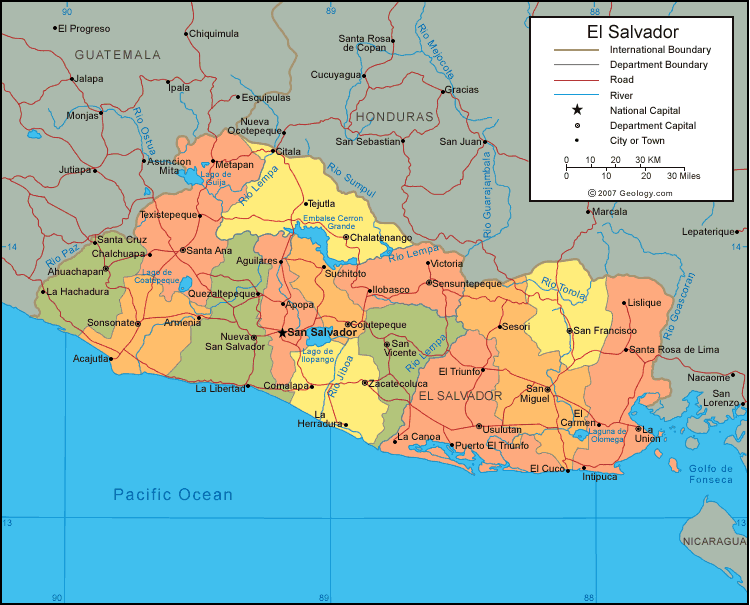
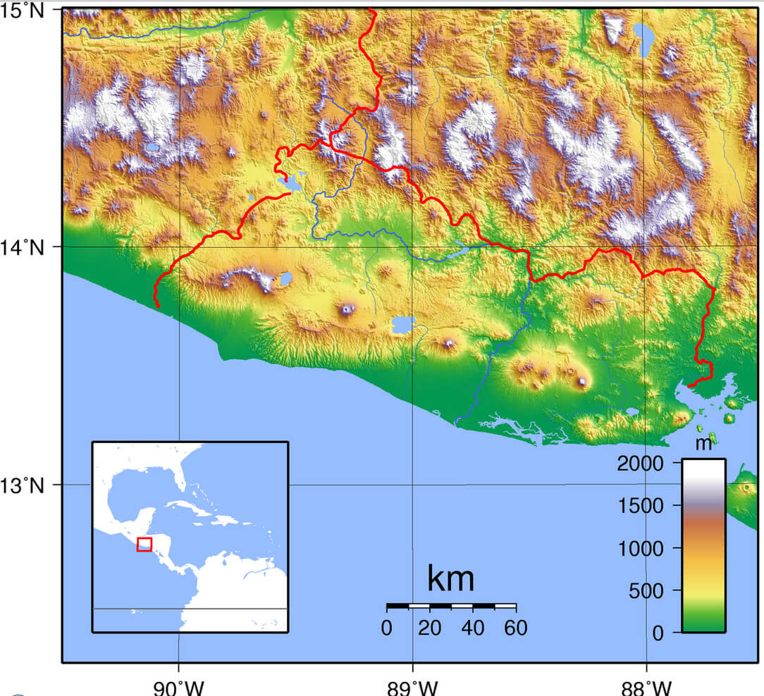
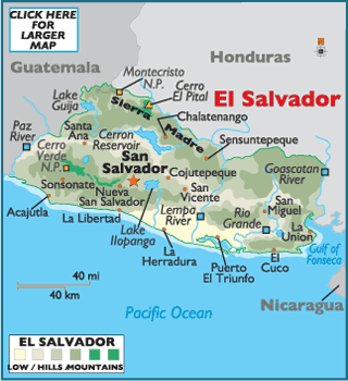
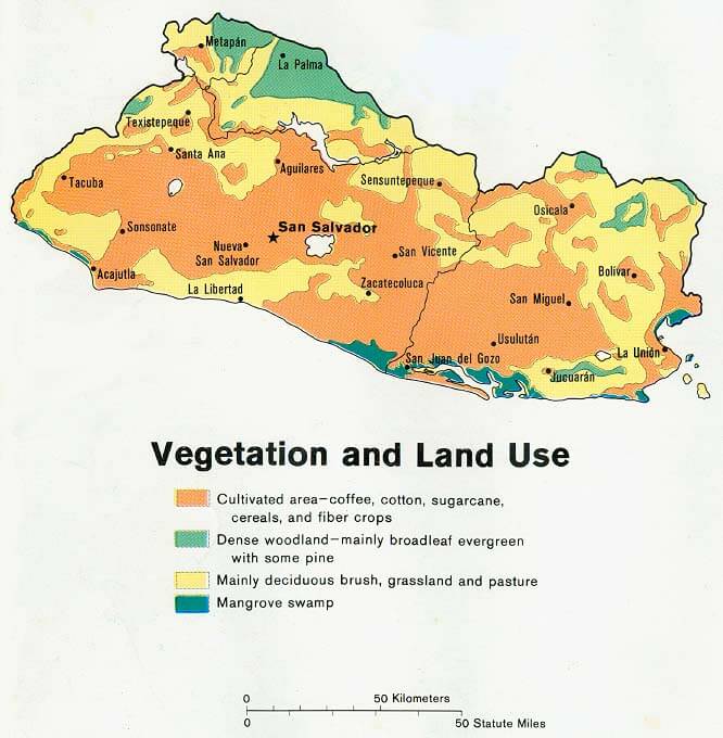
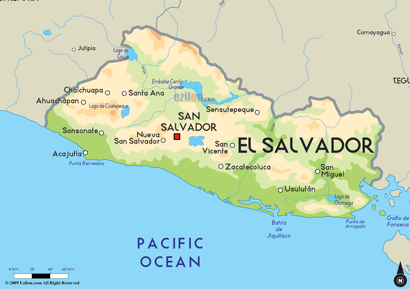
El Salvador, the smallest country in Central America, is mountainous with numerous volcanoes, fertile valleys, and a Pacific coastline. The Lempa River is the main waterway, and the country lies on the Central American volcanic arc.MAP OF EL SALVADOR

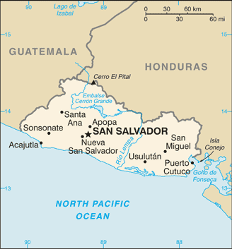
EL SALVADOR TOPOGRAPHY MAP
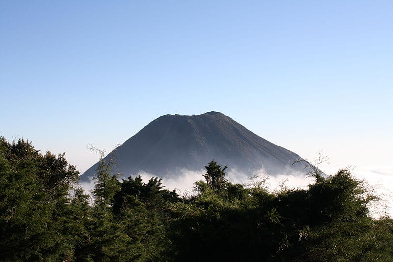
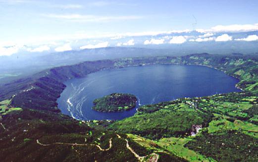
EL SALVADOR GREEN IZALCO VOLCANO
Can I download a high-resolution map of El Salvador ?
Yes. Download high-resolution political and physical maps of El Salvador for personal or educational use. Redistribution is subject to the terms of our license.
- Capital : San Salvador
- Population : 6,134,000
- GDP : $22.761 billion
- Per Capita : $3,855
- Calling Code : +503
- Jobless Rate : 7.05%
- Time Zone : -6
For more about El Salvador >>
A Collection of El Salvador Maps and El Salvador Satellite Images
MAP OF EL SALVADOR

EL SALVADOR TOPOGRAPHY MAP
EL SALVADOR GREEN IZALCO VOLCANO
EL SALVADOR TEOPAN
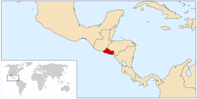
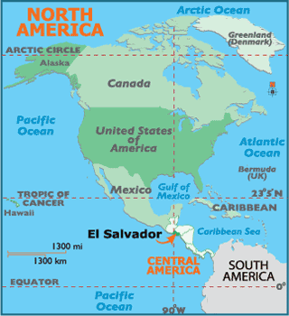
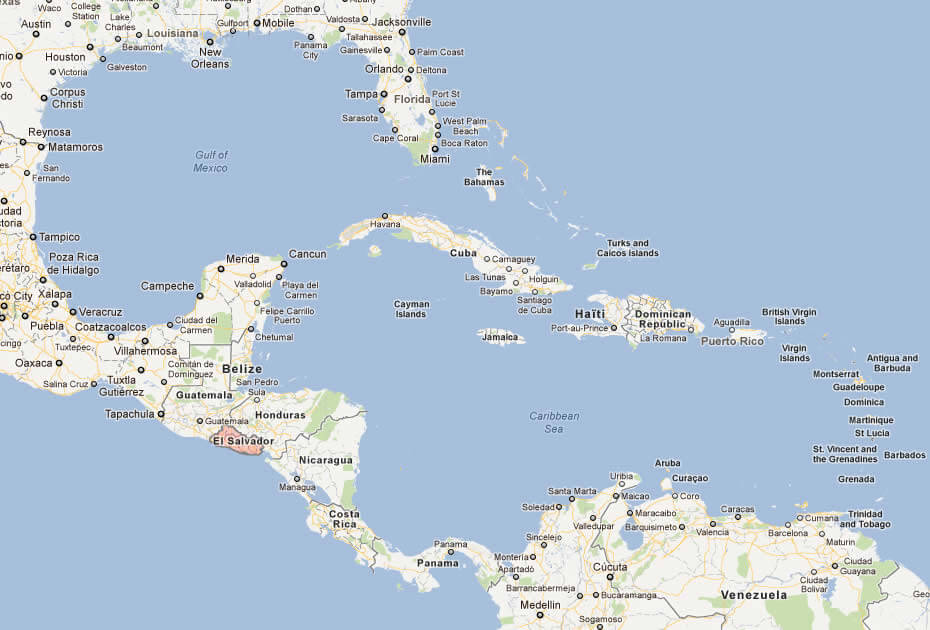
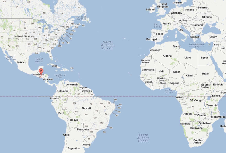
WHERE IS EL SALVADOR IN THE WORLD
CITIES MAP EL SALVADOR MAP
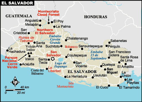
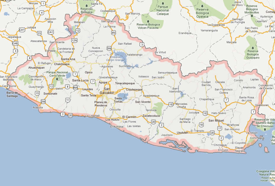
EL SALVADOR CITIES MAP
EL SALVADOR MAP
EL SALVADOR VEGETATION LAND MAP
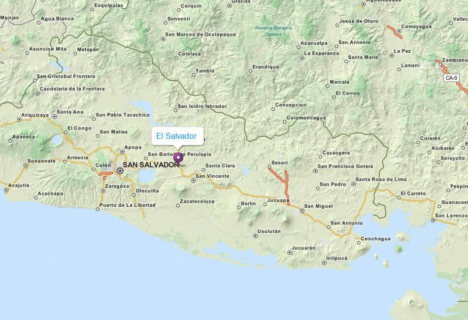
EL SALVADOR MAP
EL SALVADOR MAP
EL SALVADOR CITIES MAP
EL SALVADOR MAP
EL SALVADOR MAP CITIES

MAP OF EL SALVADOR CENTRAL AMERICA
MAP OF EL SALVADOR WORLD
MAP OF EL SALVADOR
MAP EL SALVADOR
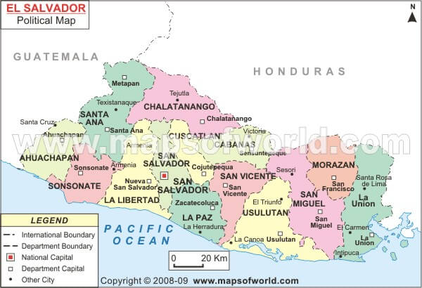
POLITICAL MAP EL SALVADOR

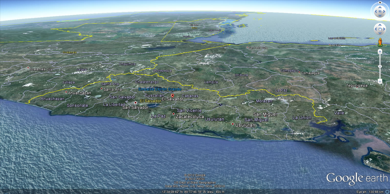
EL SALVADOR EARTH MAP
- Head of Performance Marketing
- Head of SEO
- Linkedin Profile: linkedin.com/in/arifcagrici