- Capital :
Helsinki
- Population :
5,421,827
- GDP :
$266.553 billion
- Per Capita :
$49,349
- Calling Code :
+358
- Jobless Rate :
6.90%
- Time Zone :
+2
With interactive Finland Map, view regional highways maps, road situations, transportation, lodging guide, geographical map, physical maps and more information. On Finland Map, you can view all states, regions, cities, towns, districts, avenues, streets and popular centers' satellite, sketch and terrain maps.
Color Map of Finland
Abstract vector color map of Finland country.
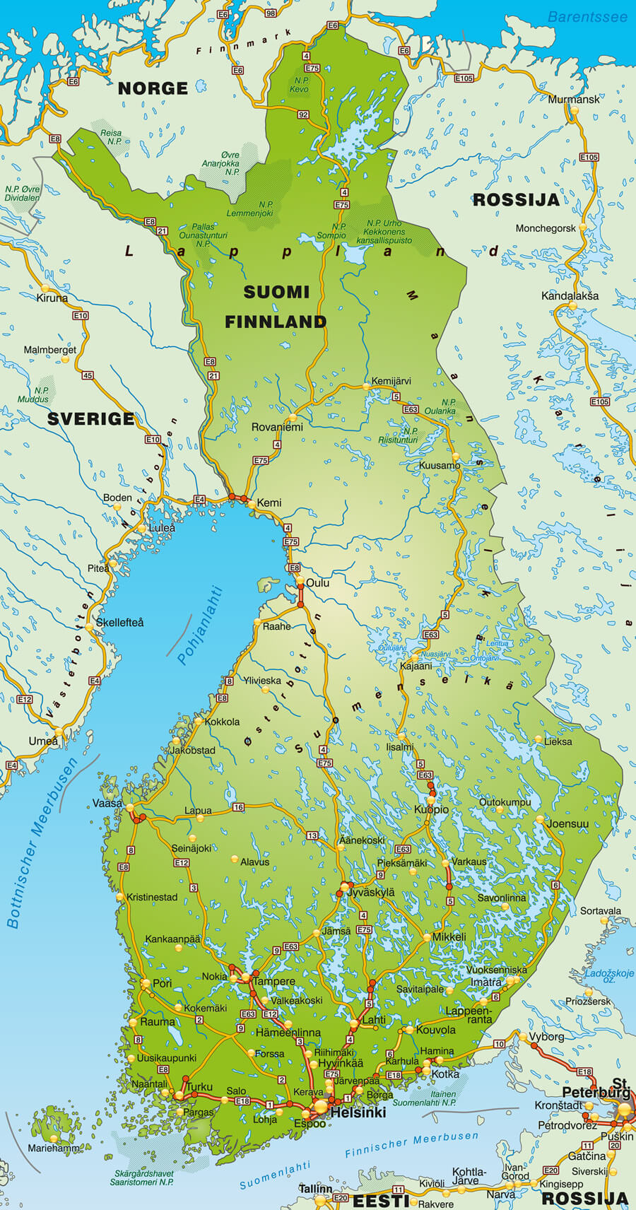
Finland Europe Shaded Relief Map
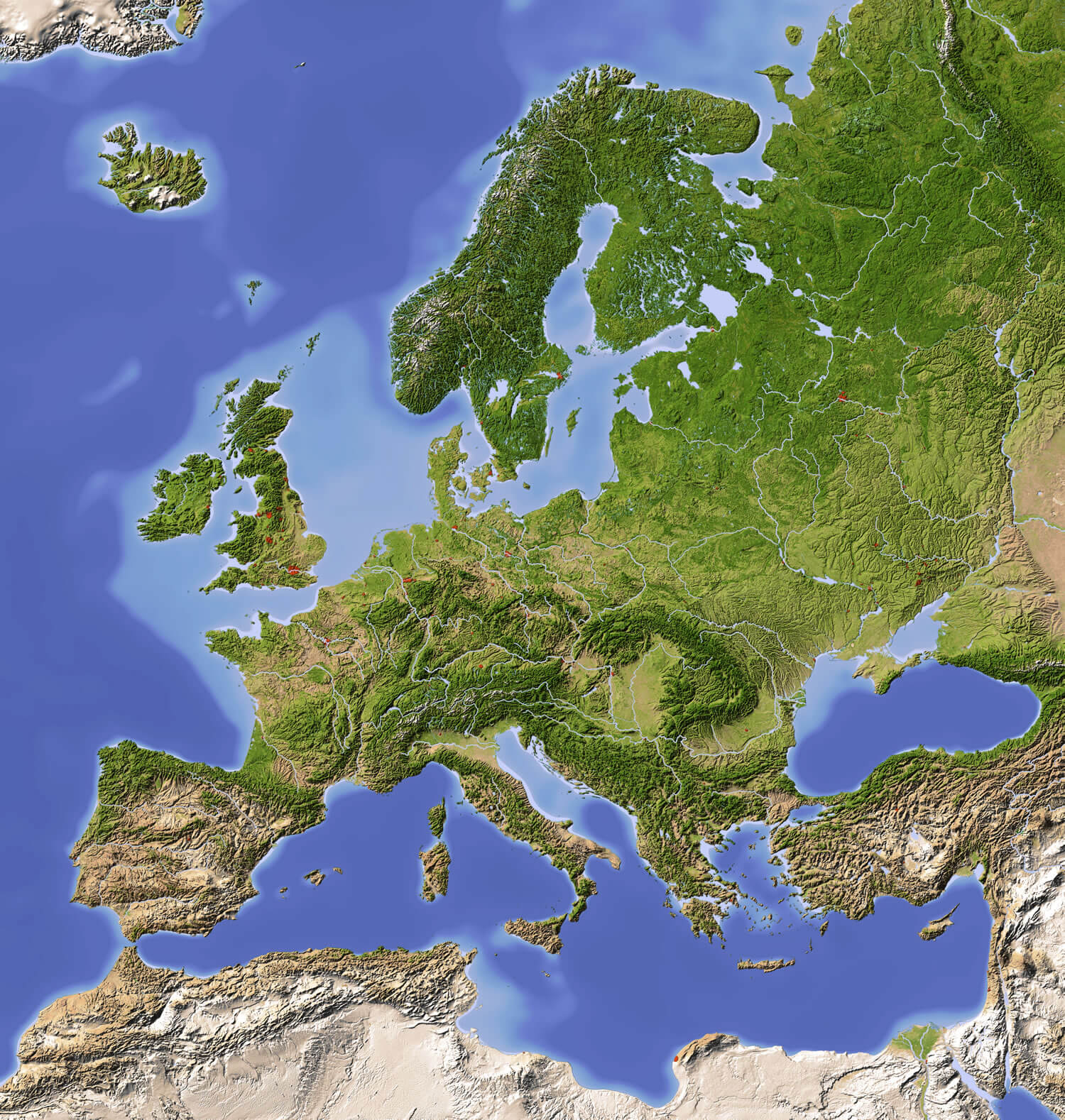
Finland Europe Shaded Relief Map with major urban areas. Colored according to vegetation.
Finland Shaded Relief Map
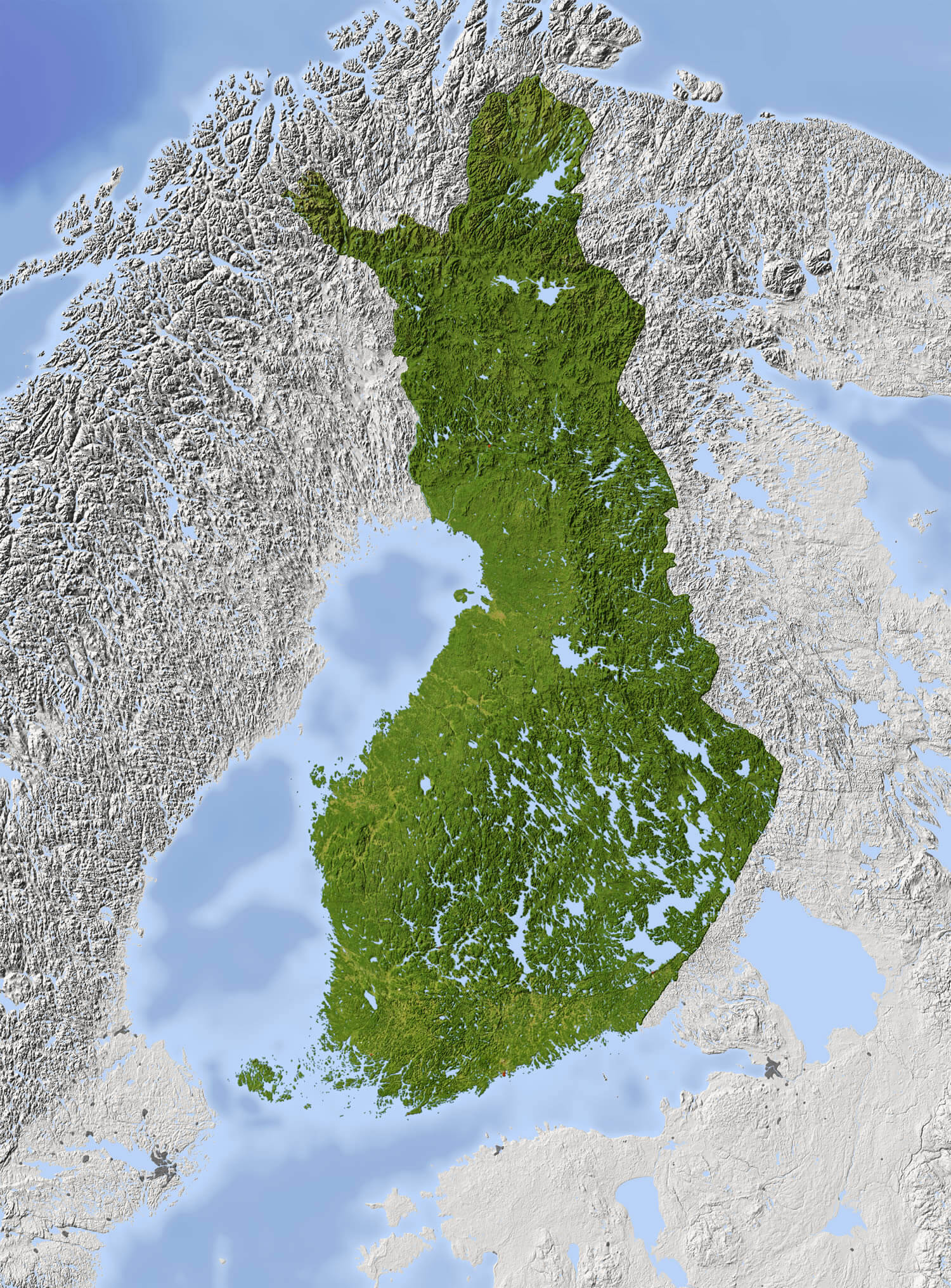
Finland Shaded relief map. Surrounding territory greyed out. Colored according to vegetation. Includes clip path for the state area.
Administrative Map of Finland
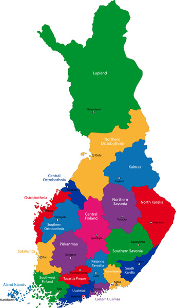
Color map of administrative divisions of Finland.
Finland Vector Map
Republic of Finland vector map.
Map of Finland with Highways
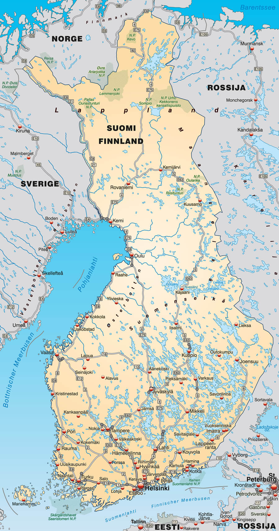
Map of Finland with highways in pastel orange.
Map of Finland with Autoroutes
Map of Finland with autoroutes.
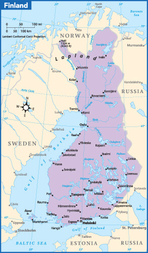
Finland Cities Map in Finnish and Swedish
Finland map, cities in Finnish and Swedish language.
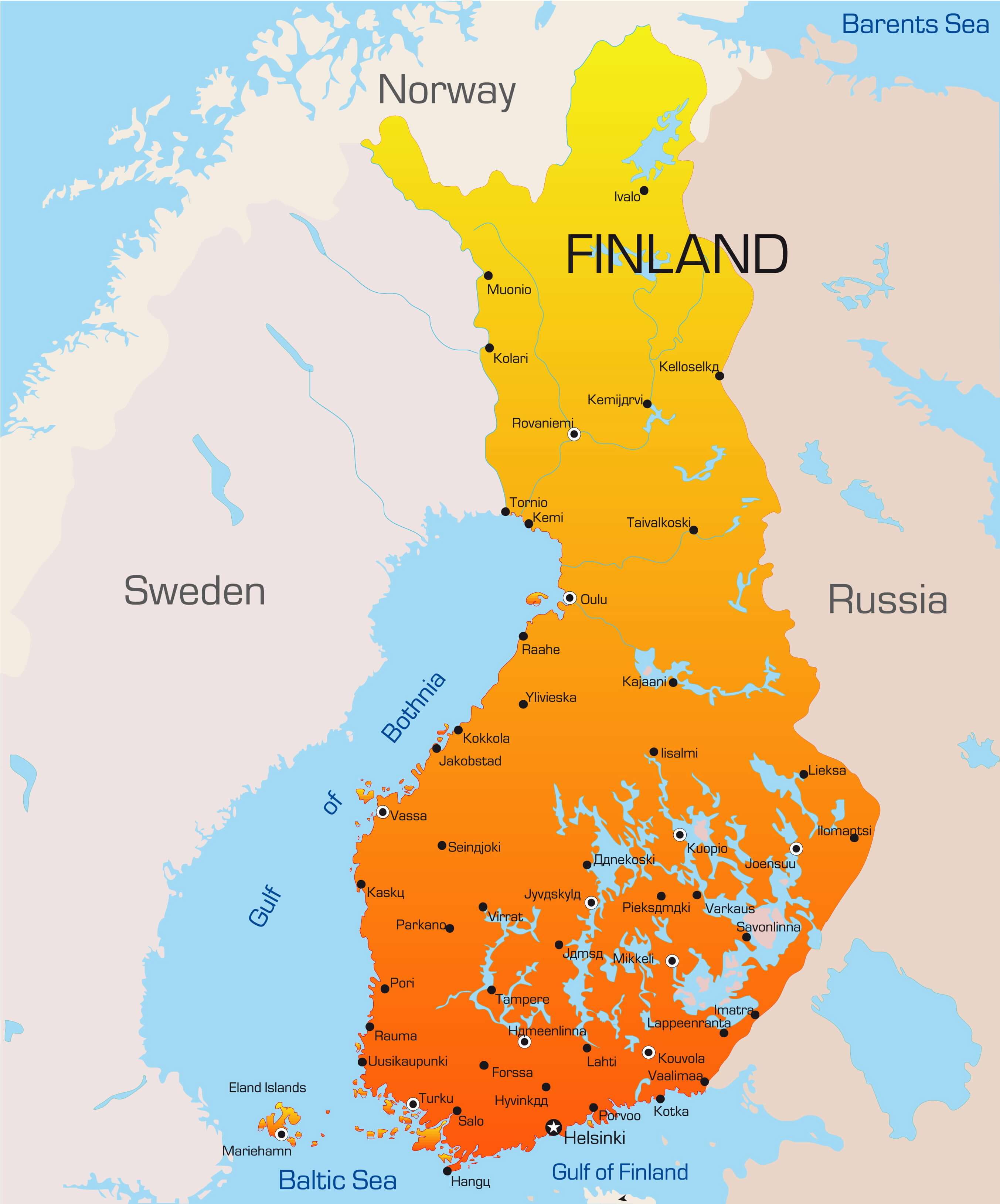
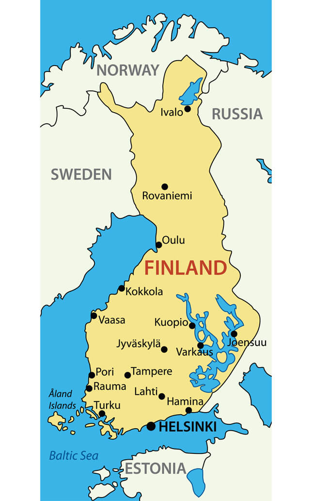
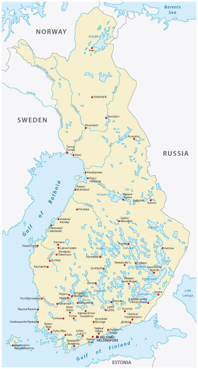
Finland Country Map
Finland Country Map with main Cities Map.
Travel Map of Finland
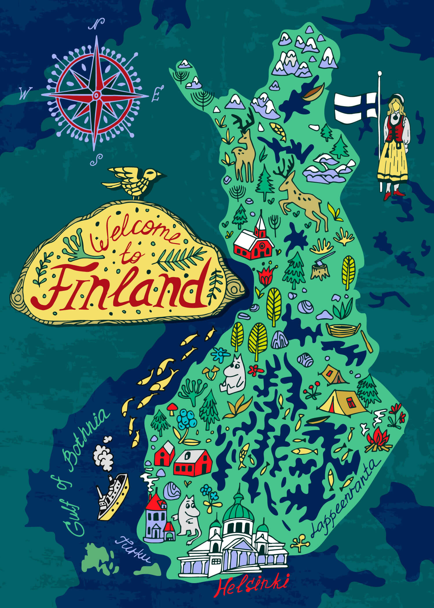
Illustrated Travel map of Finland.
Finland Brexit European Union Map
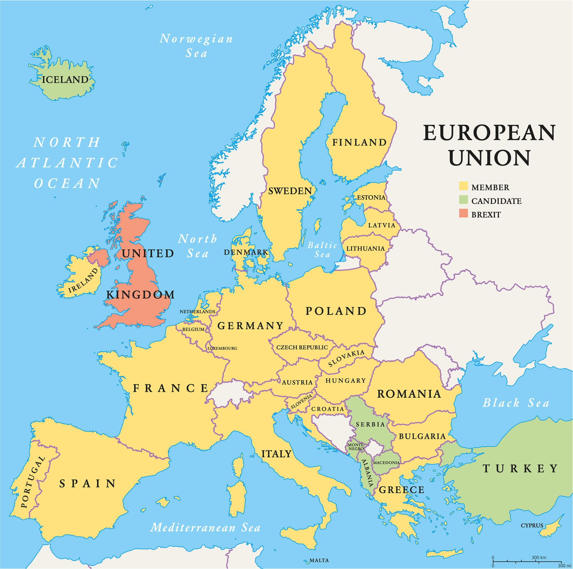
Finland Brexit European Union map. Outline political map with European Union member states and British withdrawal from the European Union, shortened to Brexit.
Finland Europe Map
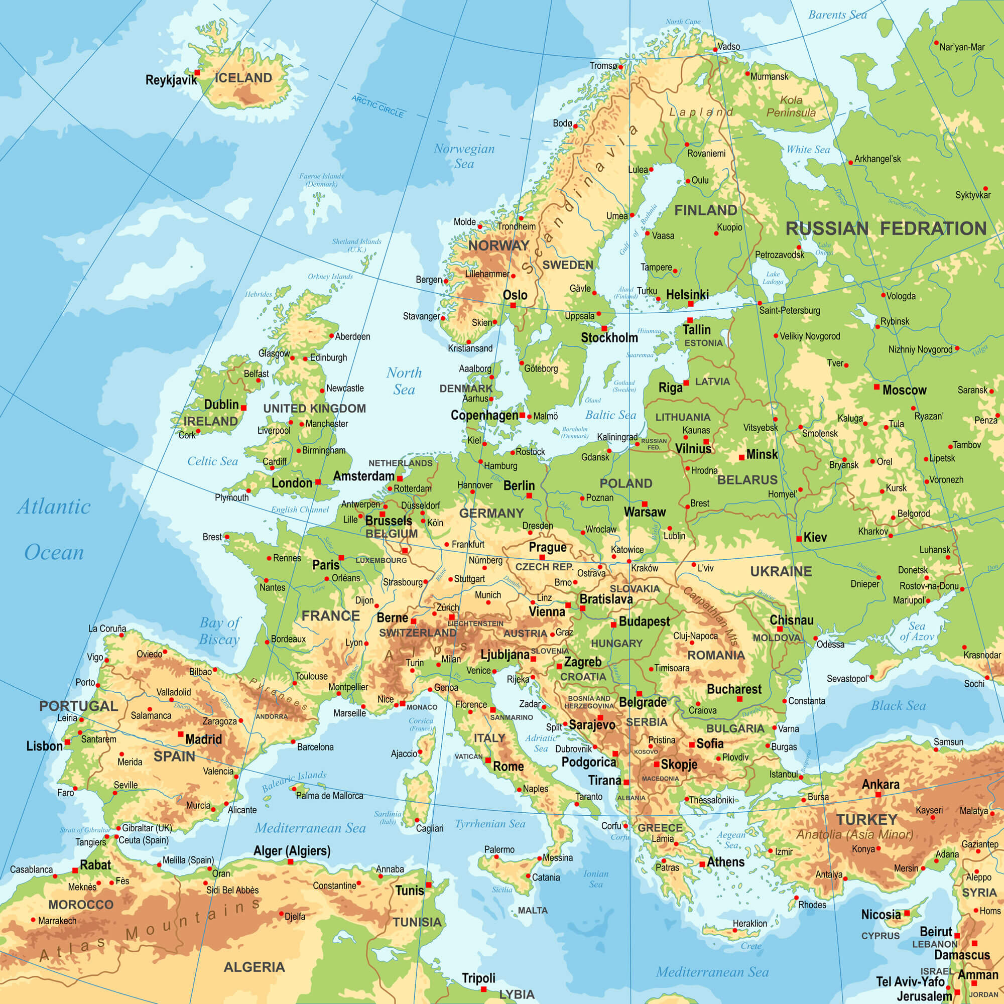
Highly detailed colored vector illustration of Europe map - borders, countries and cities - illustration.