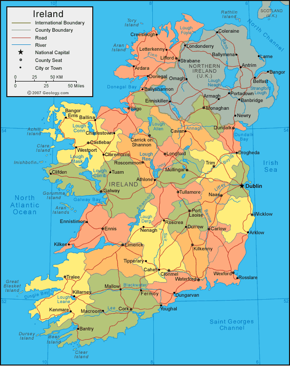
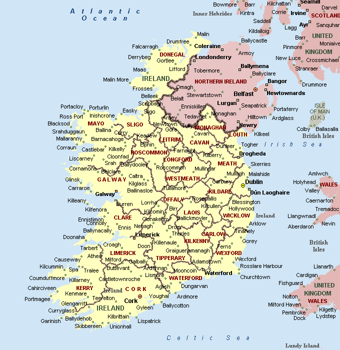
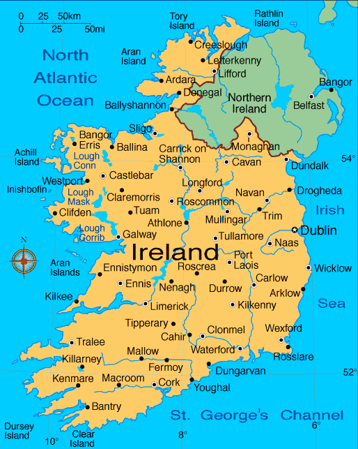
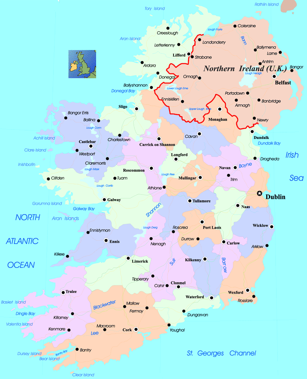
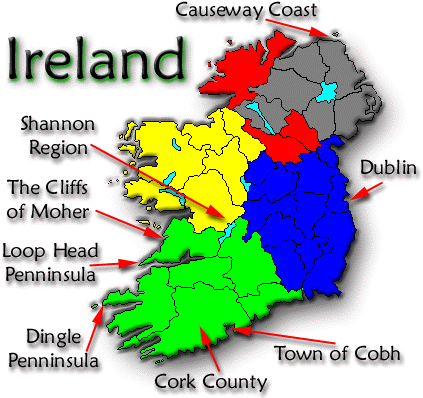
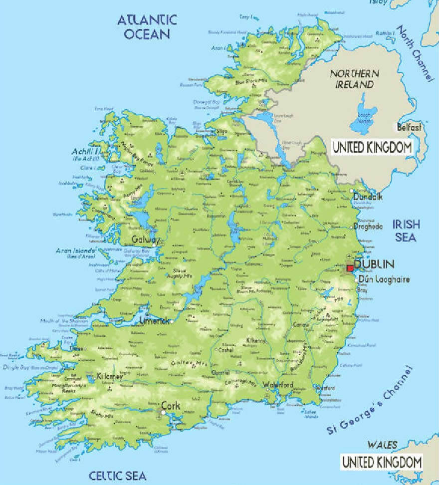
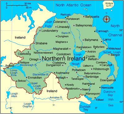
With interactive Ireland Map, view regional highways maps, road situations, transportation, lodging guide, geographical map, physical maps and more information. On Ireland Map, you can view all states, regions, cities, towns, districts, avenues, streets and popular centers' satellite, sketch and terrain maps.
Map of Ireland

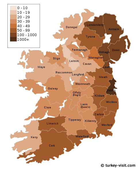
A collection maps of Ireland
Largest Cities Map of Ireland
Dublin Map -
1,110,627
Belfast Map -
579,726
Cork Map -
198,582
Limerick Map -
91,454
Derry Map -
90,663
Galway Map -
76,778
Craigavon Map -
57,651
Waterford Map -
51,519
Drogheda Map -
38,578
Dundalk Map -
37,816
Lucan Map -
37,622
Wexford Map -
20,072
Ireland Google Map, Street Views, Maps Directions, Satellite Images