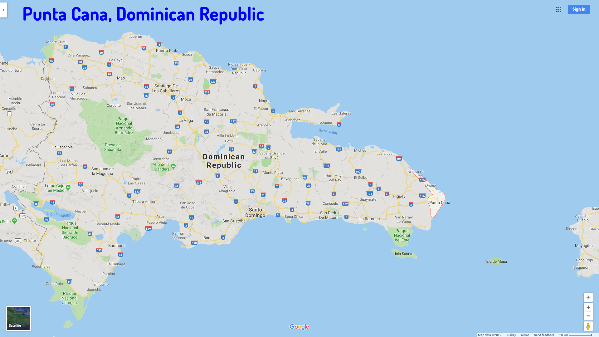
Map of Punta Cana, Dominican Republic
Navigate Punta Cana map, Punta Cana country map, satellite images of Punta Cana, Punta Cana largest cities, towns maps, political map of Punta Cana, driving directions, physical, atlas and traffic maps in Dominican Republic.
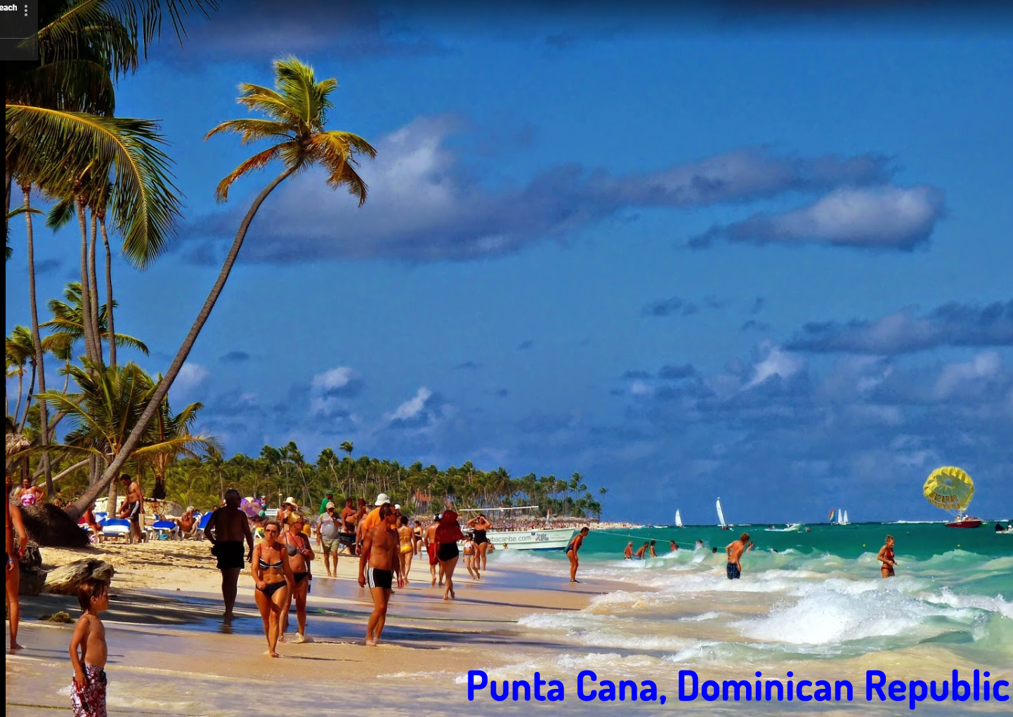
Immerse Yourself in Punta Cana Discover the Top 10 Experiences
Please subscribe on "World Guide" channnel on Youtube at youtube.com/c/WorldGuide
Punta Cana City Town Maps
PUNTA CANA MAP DOMINICAN REPUBLIC

A Collection of Punta Cana Maps and Punta Cana Satellite Images
PUNTA CANA MAP DOMINICAN REPUBLIC
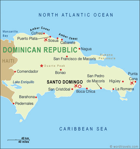
PUNTA CANA DOMINICAN REPUBLIC
PUNTA CANA MAP
Alphabetically Cities Map of Punta Cana & Population of Punta Cana Cities
Santo Domingo Map Puerto Plata Map Punta Cana MapImmerse Yourself in Punta Cana Discover the Top 10 Experiences
Please subscribe on "World Guide" channnel on Youtube at youtube.com/c/WorldGuide
See Also
Punta Cana Google Map, Street Views, Maps Directions, Satellite Images
WorldMap1.com offers a collection of Punta Cana map, google map, Punta Cana atlas, political, physical, satellite view, country infos, cities map and more map of Punta Cana.