Map of Uruguay, Uruguay
Navigate Uruguay map, Uruguay country map, satellite images of Uruguay, Uruguay largest cities, towns maps, political map of Uruguay, driving directions, physical, atlas and traffic maps in Uruguay.
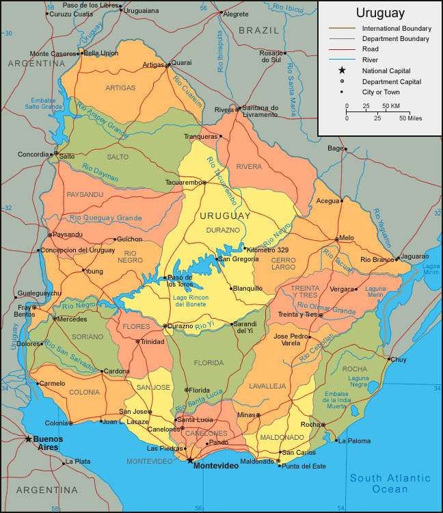
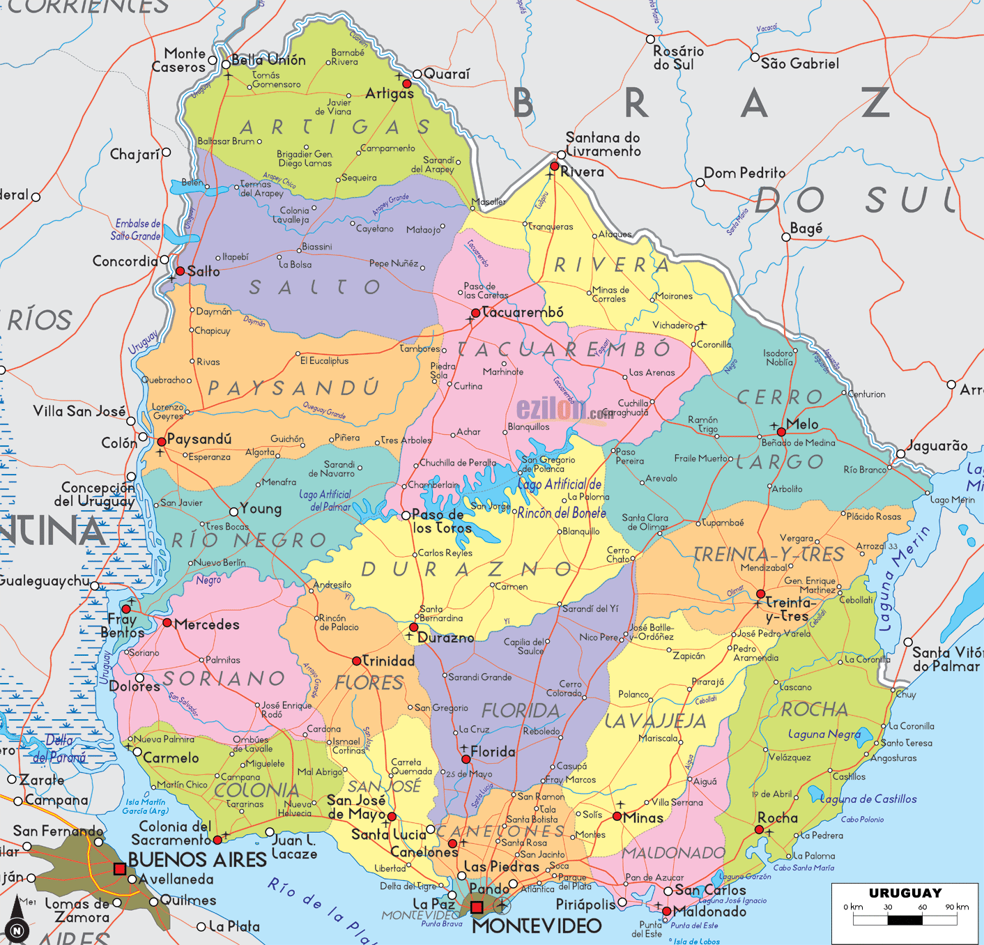
MAP OF URUGUAY

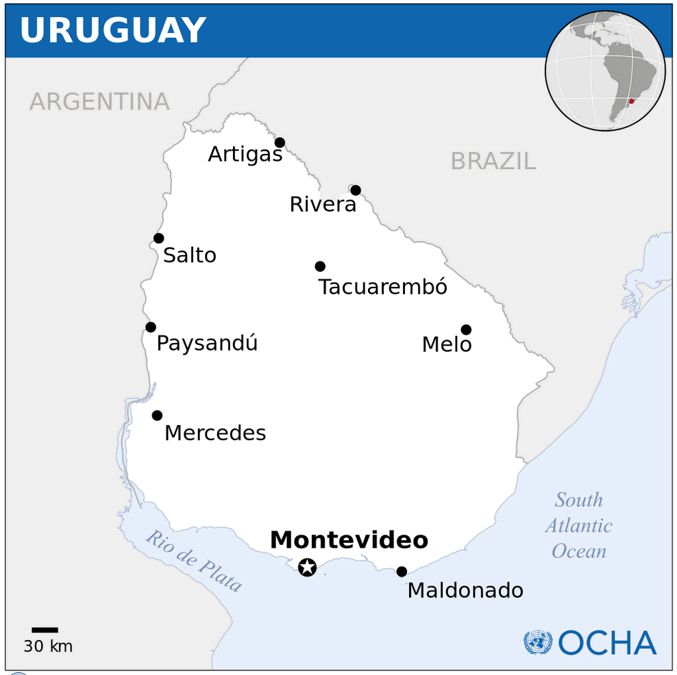
Uruguay City Maps
Montevideo SaltoA Collection of Uruguay Maps and Uruguay Satellite Images
MAP OF URUGUAY
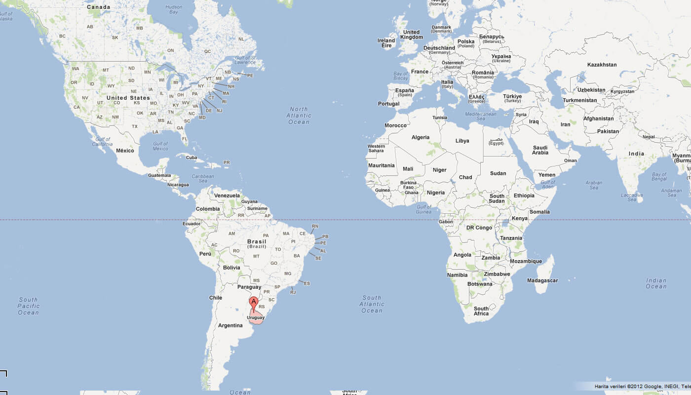
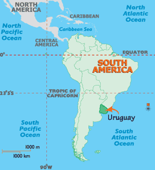
WHERE IS URUGUAY IN THE WORLD
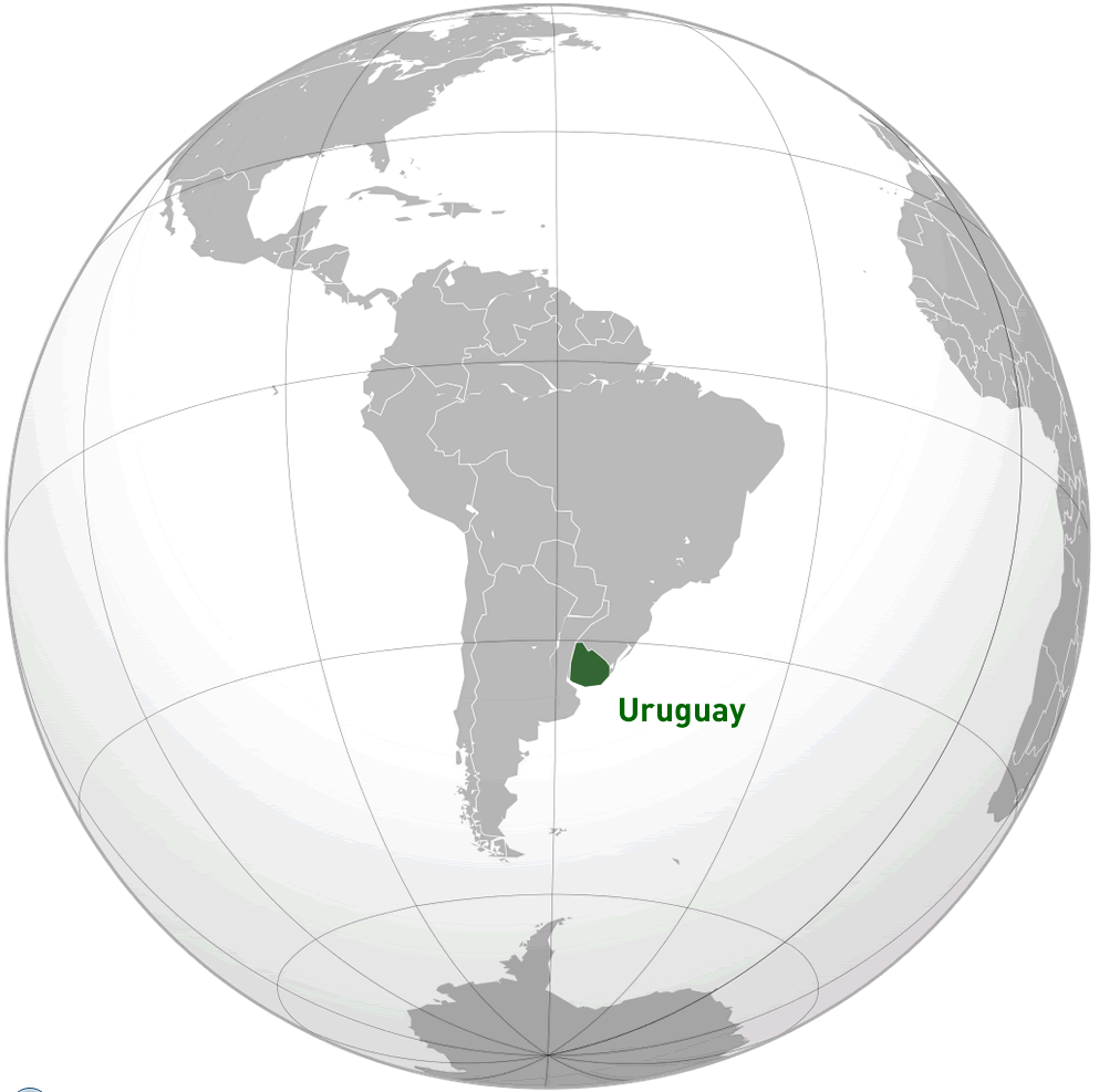
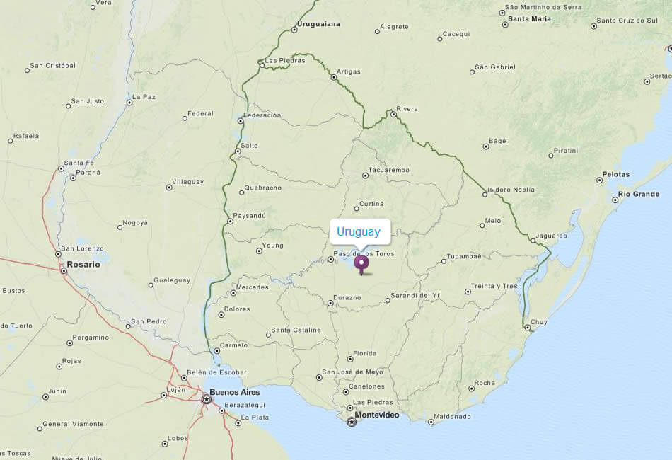
URUGUAY LOCATION MAP
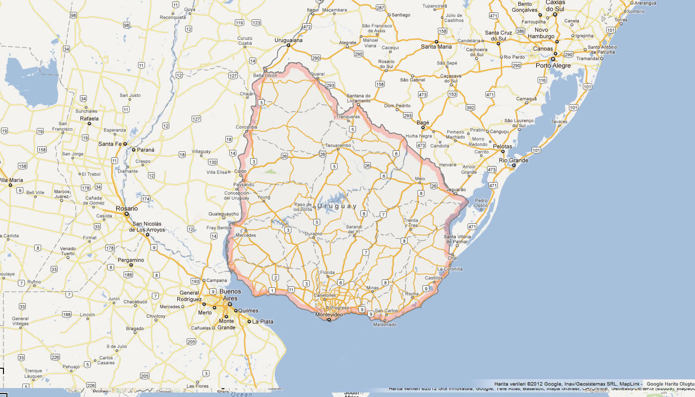
MAP OF URUGUAY SOUTH AMERICA
MAP OF URUGUAY WORLD
MAP OF URUGUAY
MAP URUGUAY
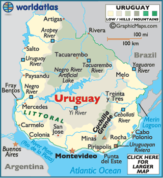
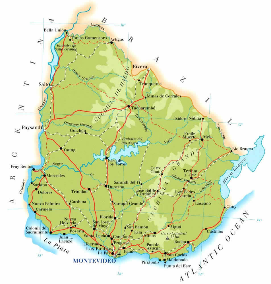
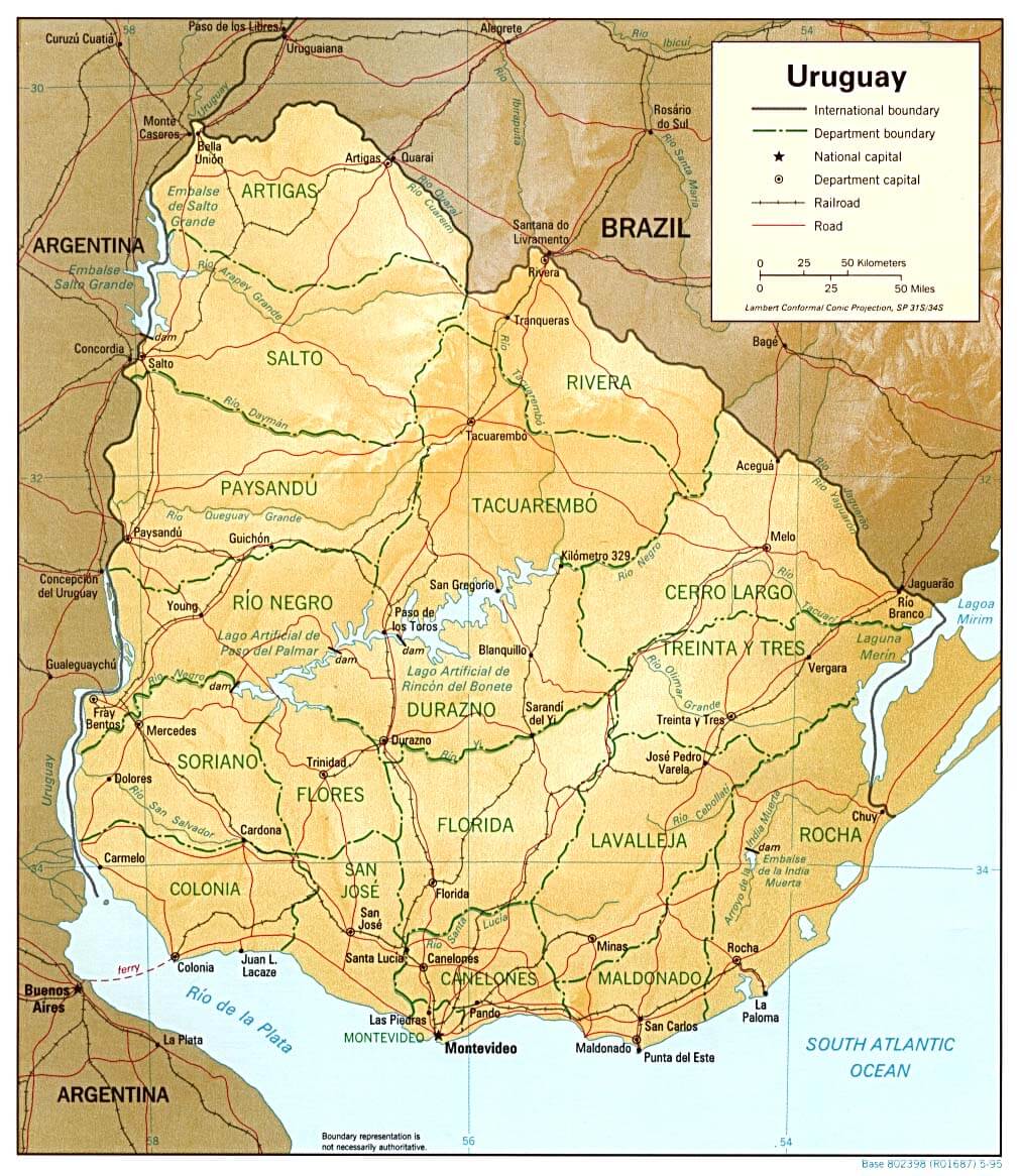
PHYSICAL MAP URUGUAY
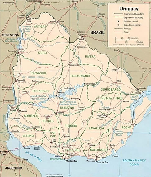
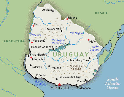
PROVINCES MAP OF URUGUAY
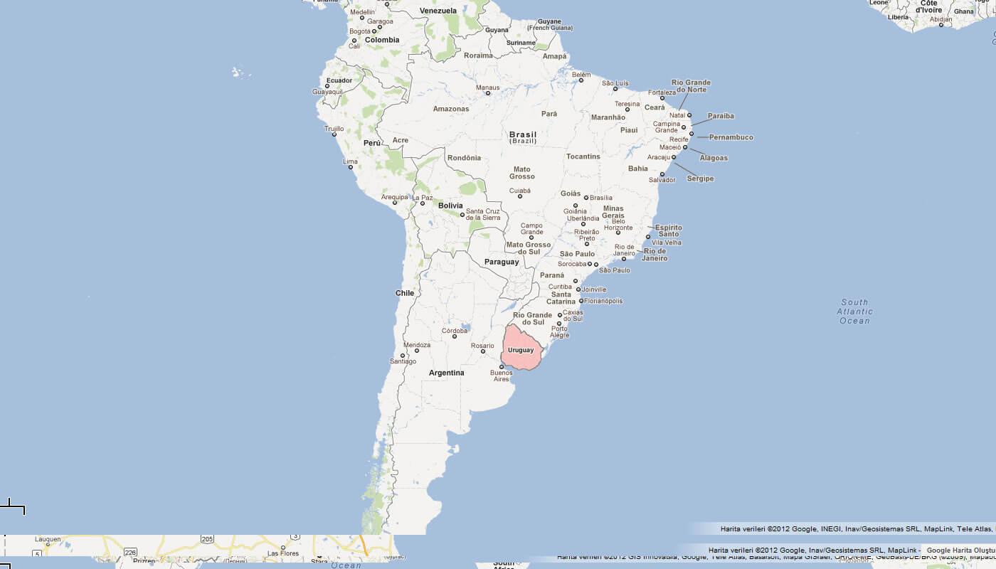
SOUTH AMERICA MAP URUGUAY
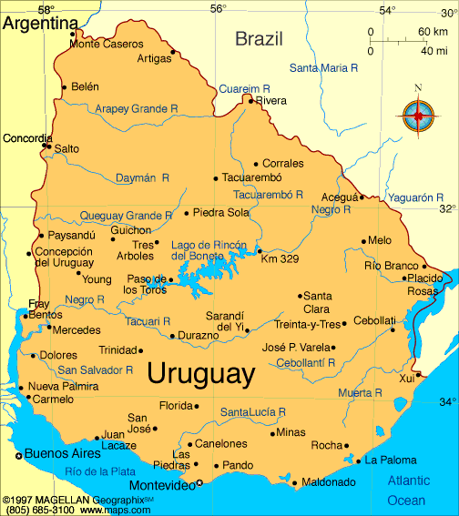
URUGUAY MAP
URUGUAY MAPS
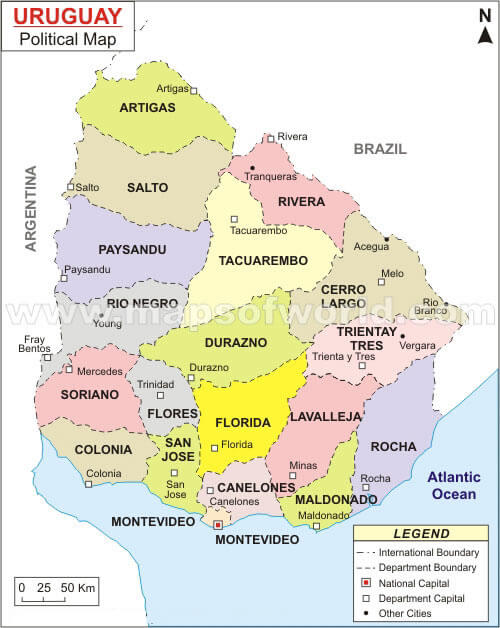
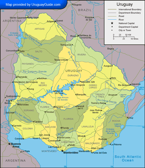
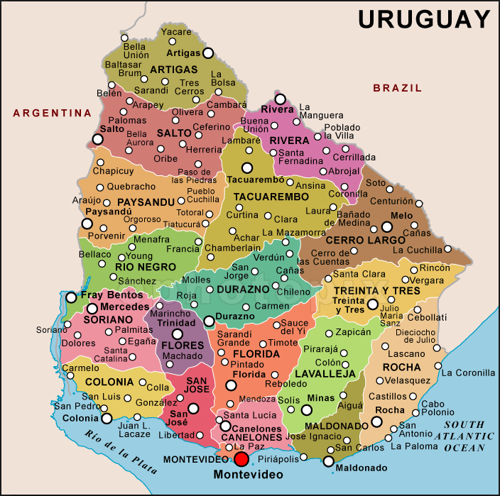
URUGUAY POLITICAL MAP
URUGUAY CITIES MAP
URUGUAY MAP
URUGUAY PHYSICAL MAP
URUGUAY POLITICAL MAP
URUGUAY MAP
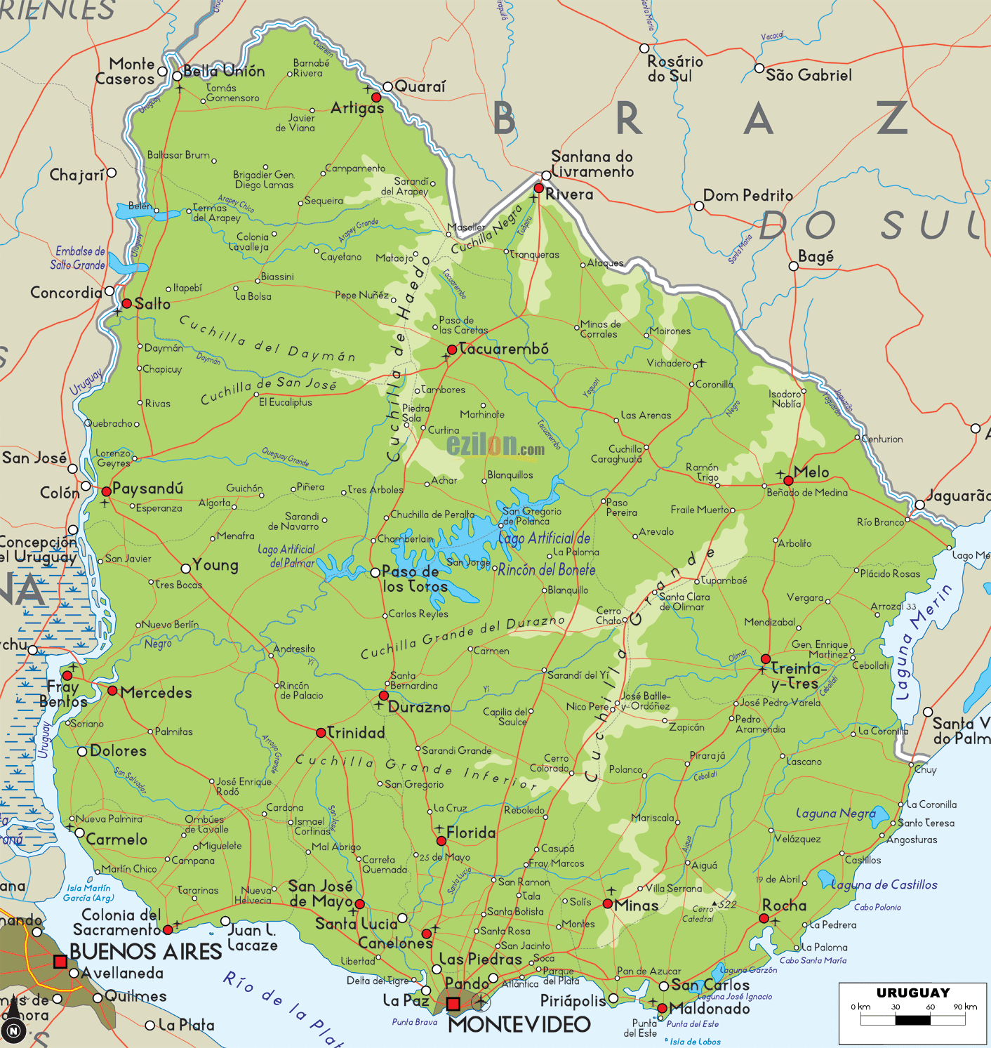
URUGUAY RELIEF MAP
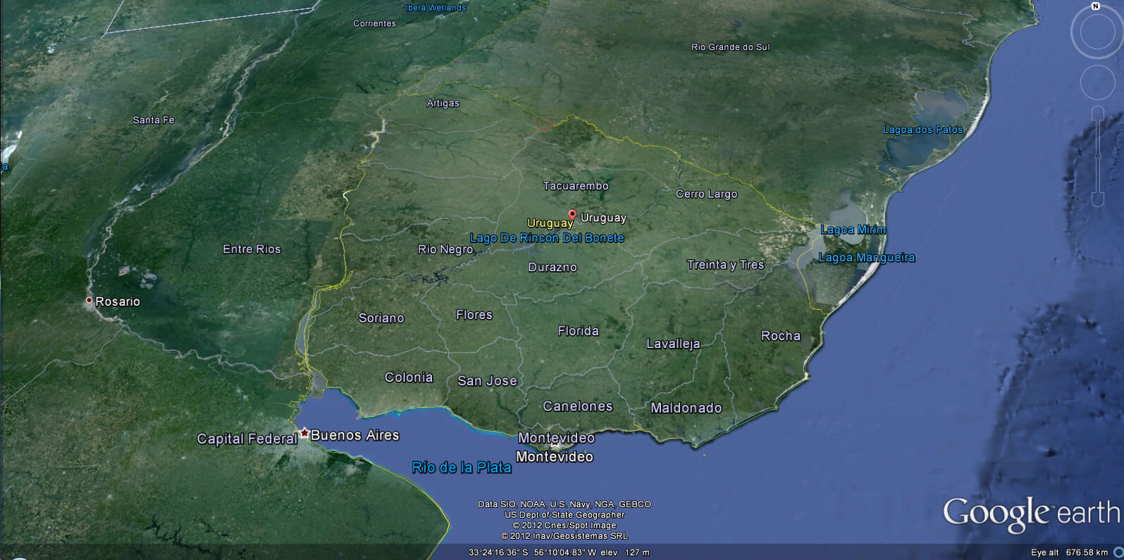
URUGUAY EARTH MAP
See Also
Uruguay Google Map, Street Views, Maps Directions, Satellite Images
WorldMap1.com offers a collection of Uruguay map, google map, Uruguay atlas, political, physical, satellite view, country infos, cities map and more map of Uruguay.