Mozambique Map FQA
How many cities are in Mozambique ?
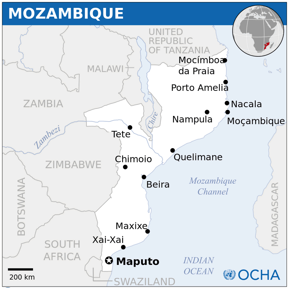
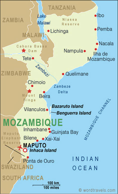
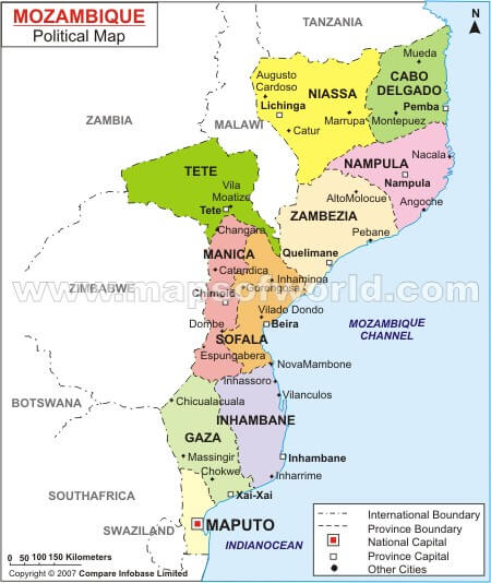
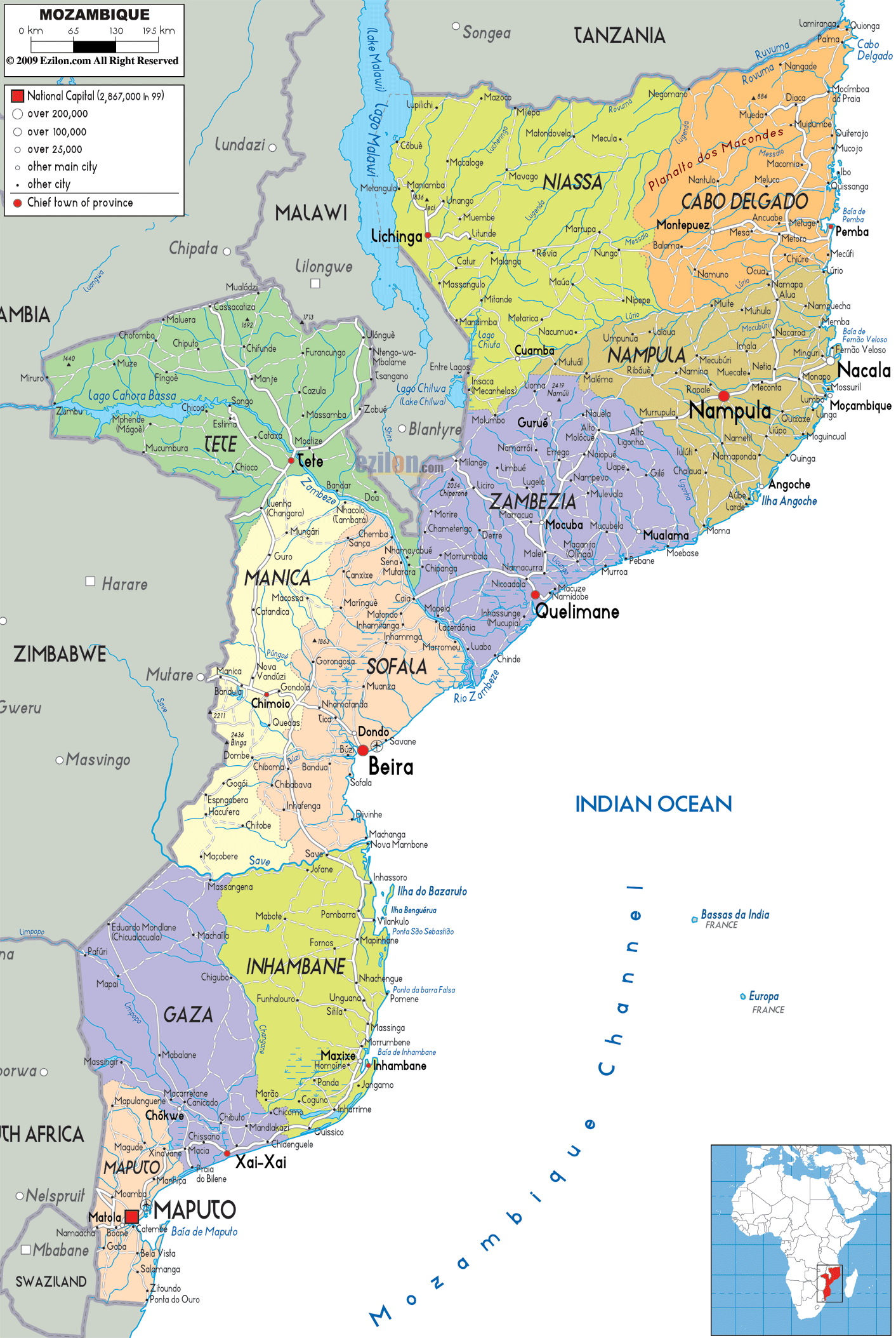
Mozambique has about 10 major cities. The largest by population are: Maputo; Matola; Beira; Nampula; Chimoio; Nacala; Quelimane; Tete; Xai-Xai; Pemba.
What are the major geographical features of Mozambique ?
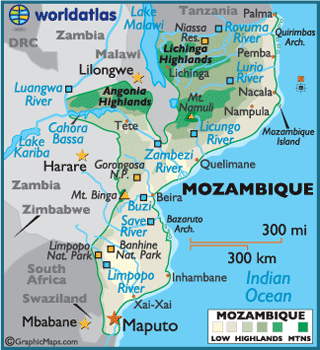
Mozambique in southeastern Africa has a long Indian Ocean coastline, river systems such as the Zambezi, and plateaus inland. It also has coastal lowlands and mountains in the northwest.
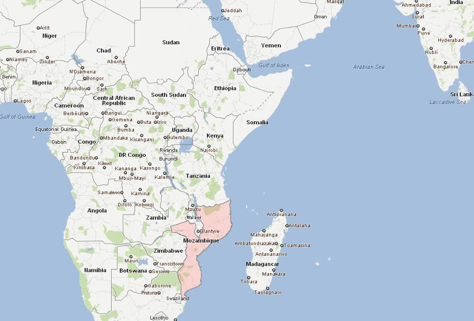
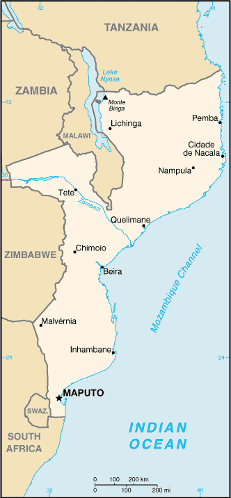
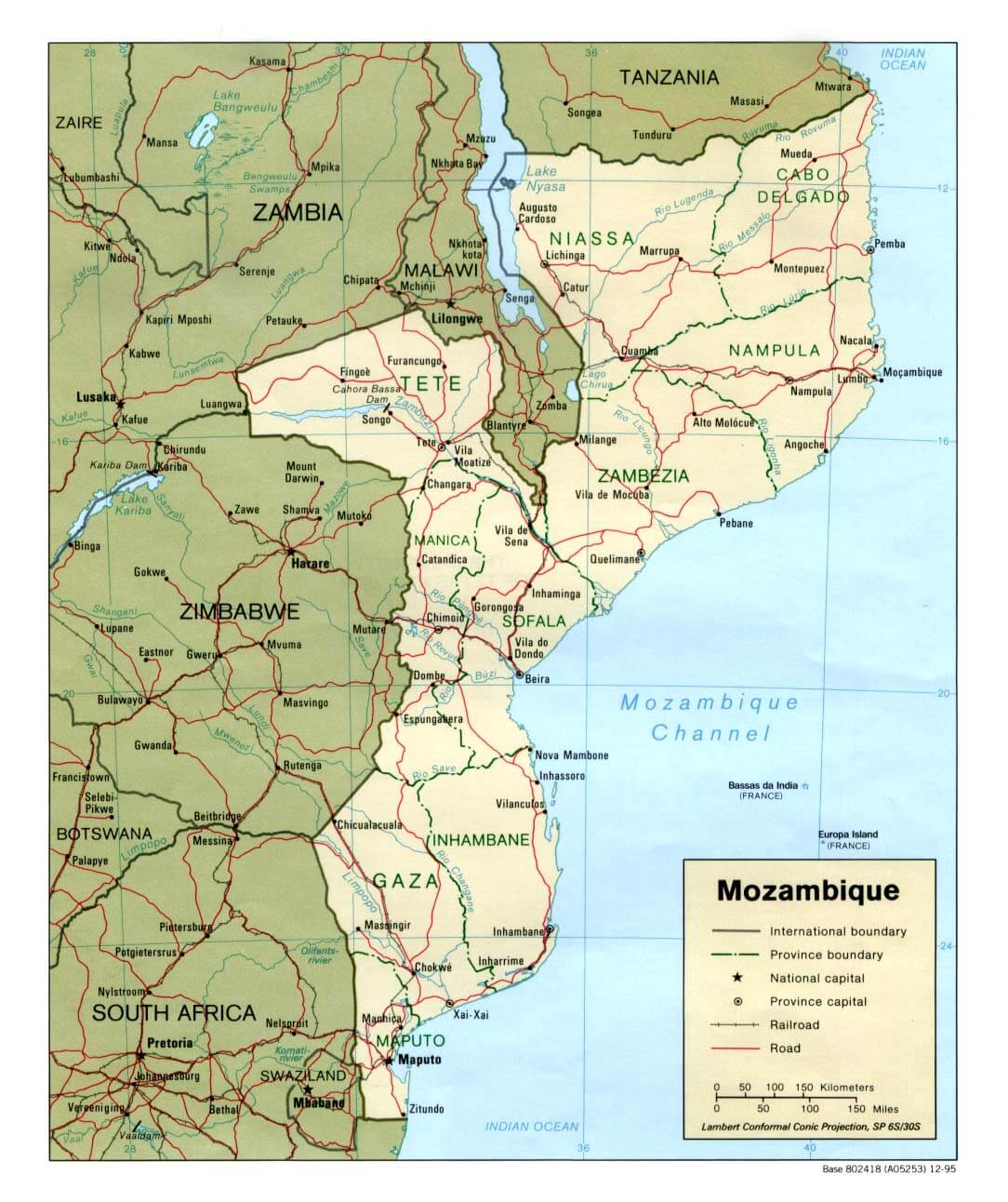
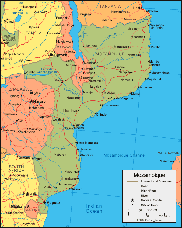
MAP OF MOZAMBIQUE

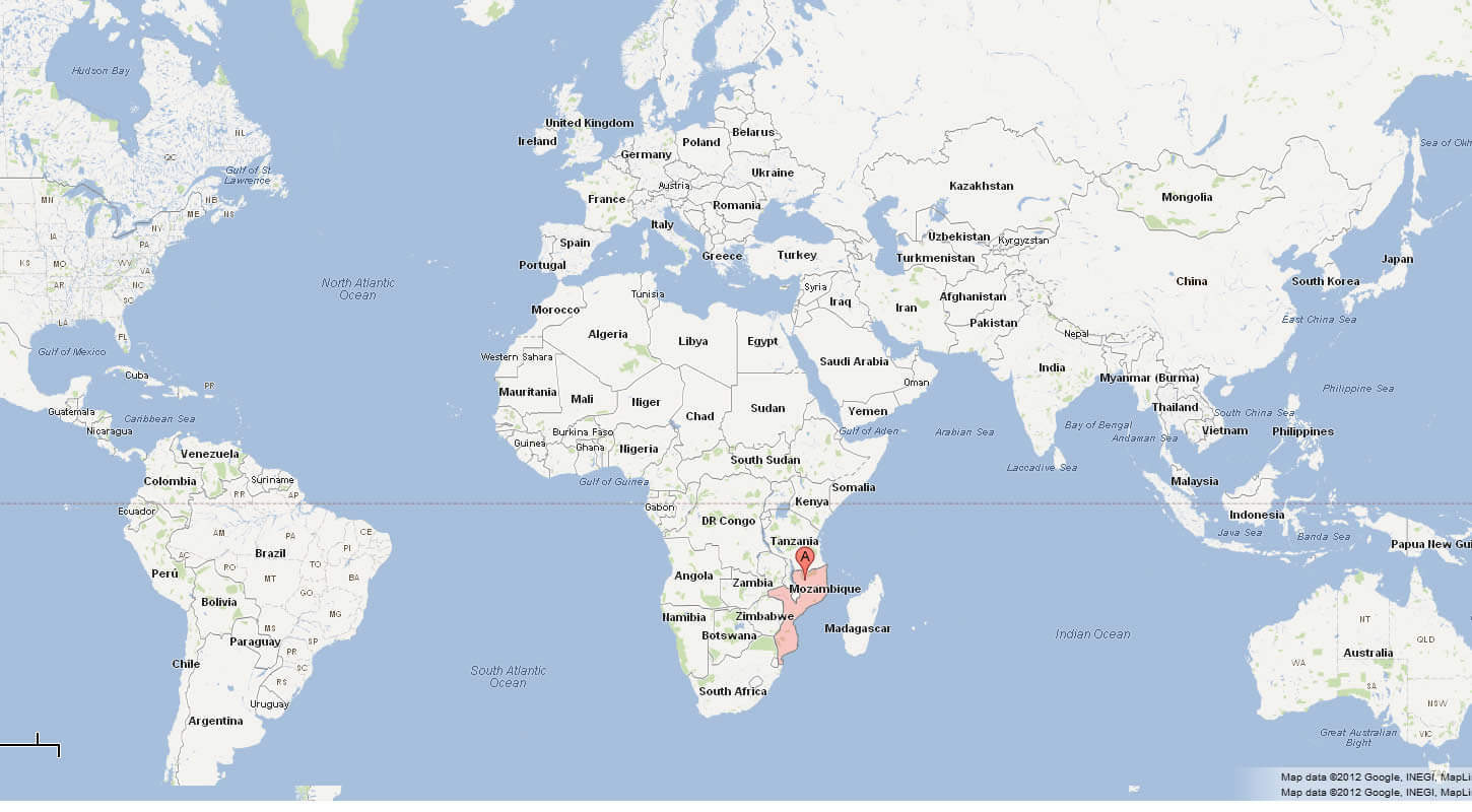
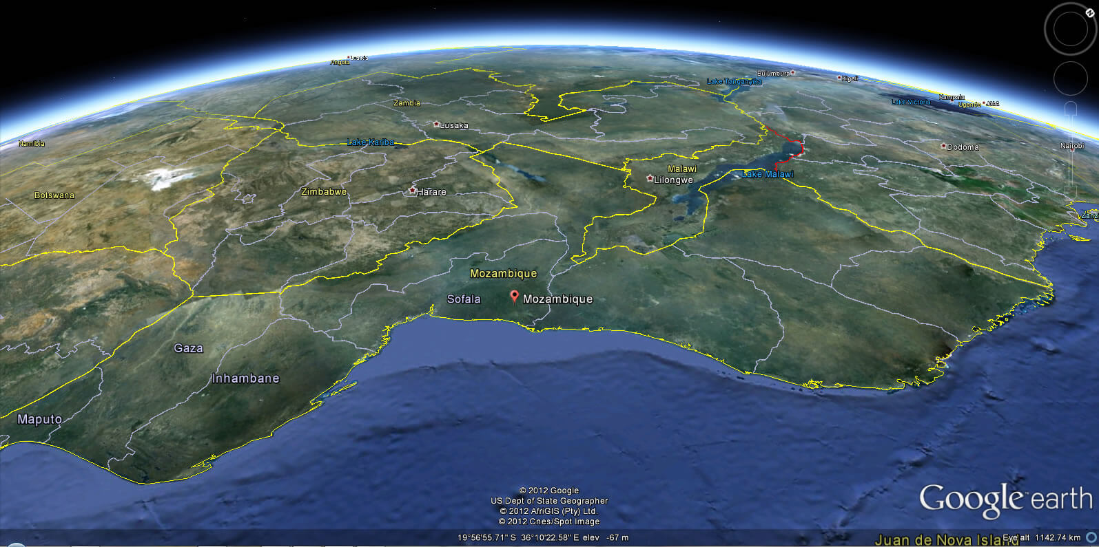
WHERE IS MOZAMBIQUE IN THE WORLD
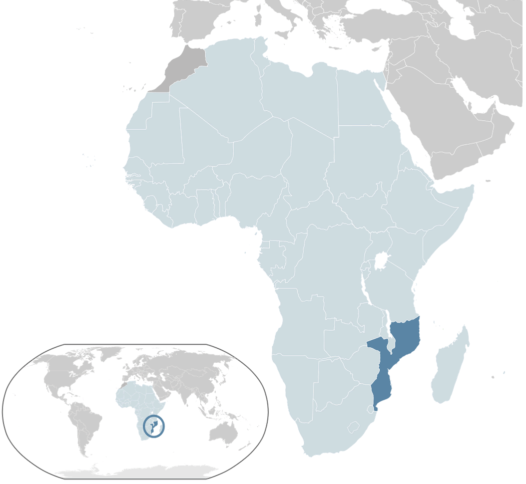
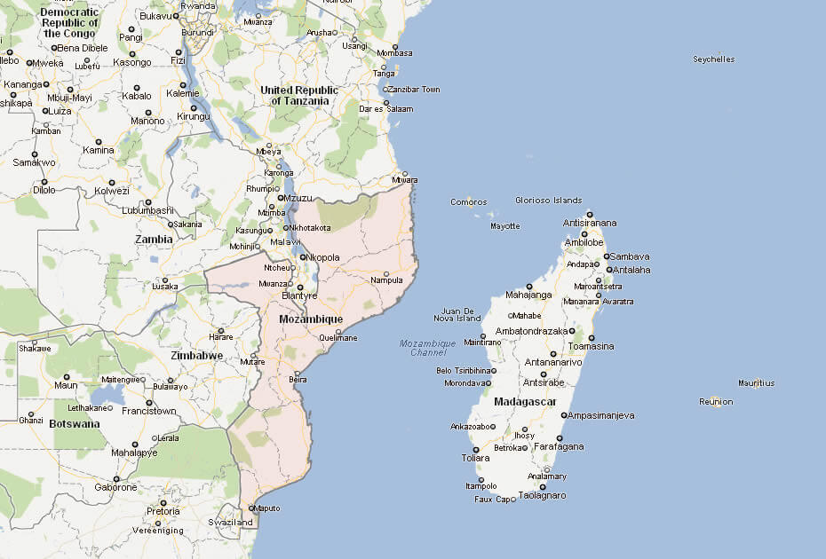
MOZAMBIQUE LOCATION MAP
Can I download a high-resolution map of Mozambique ?
Yes. Download high-resolution political and physical maps of Mozambique for personal or educational use. Redistribution is subject to the terms of our license.
- Capital :
Maputo
- Population :
22,894,000
- GDP :
$12.827 billion
- Per Capita :
$582
- Calling Code :
+258
- Jobless Rate :
17.00%
- Time Zone :
+2
With interactive Mozambique Map, view regional highways maps, road situations, transportation, lodging guide, geographical map, physical maps and more information. On Mozambique Map, you can view all states, regions, cities, towns, districts, avenues, streets and popular centers' satellite, sketch and terrain maps.
A Collection of Mozambique Maps and Mozambique Satellite Images
MAP OF MOZAMBIQUE

WHERE IS MOZAMBIQUE IN THE WORLD
MOZAMBIQUE LOCATION MAP
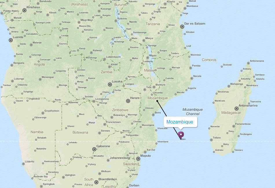
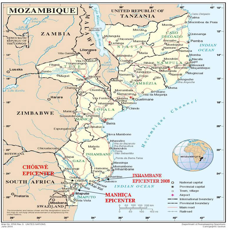
CITIES MOZAMBIQUE MAP
MAP OF MOZAMBIQUE AFRICA
MAP OF MOZAMBIQUE WORLD
MAP OF MOZAMBIQUE
MAP MOZAMBIQUE
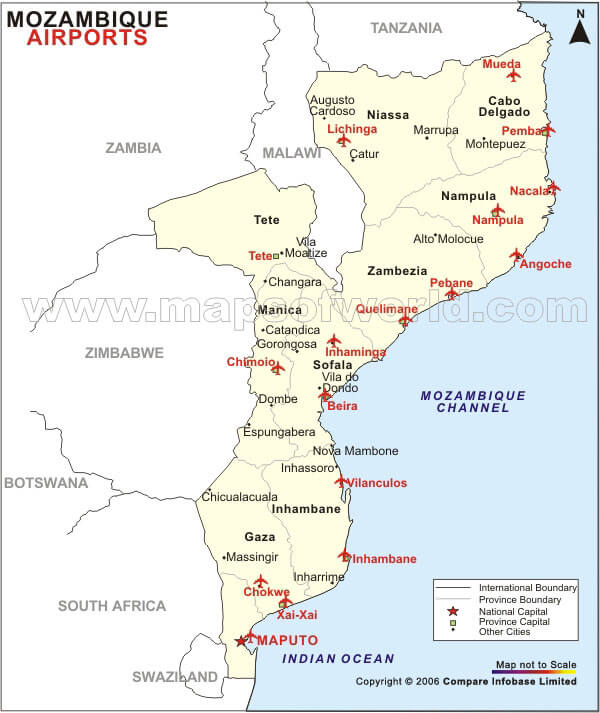
MOZAMBIQUE AIRPORTS MAP
MOZAMBIQUE CITIES MAP
MOZAMBIQUE POLITIC MAP
MOZAMBIQUE CITIES MAP
MOZAMBIQUE MAP AFRICA

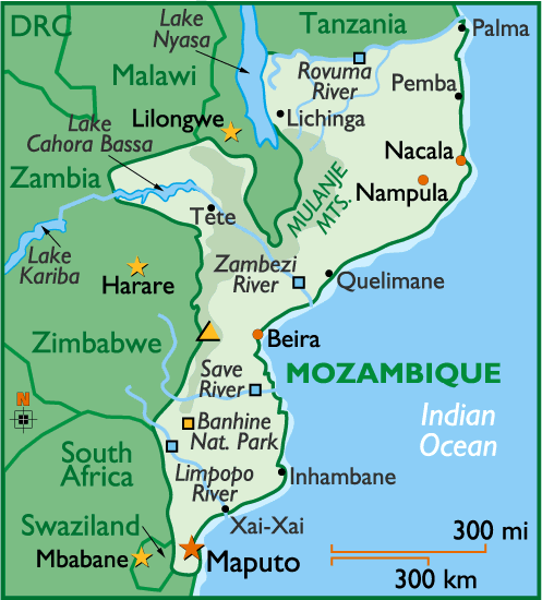
MOZAMBIQUE MAP
MOZAMBIQUE PHYSICAL MAP
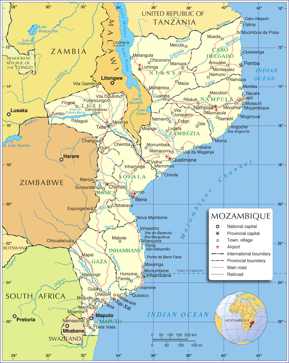
MOZAMBIQUE POLITICAL MAP
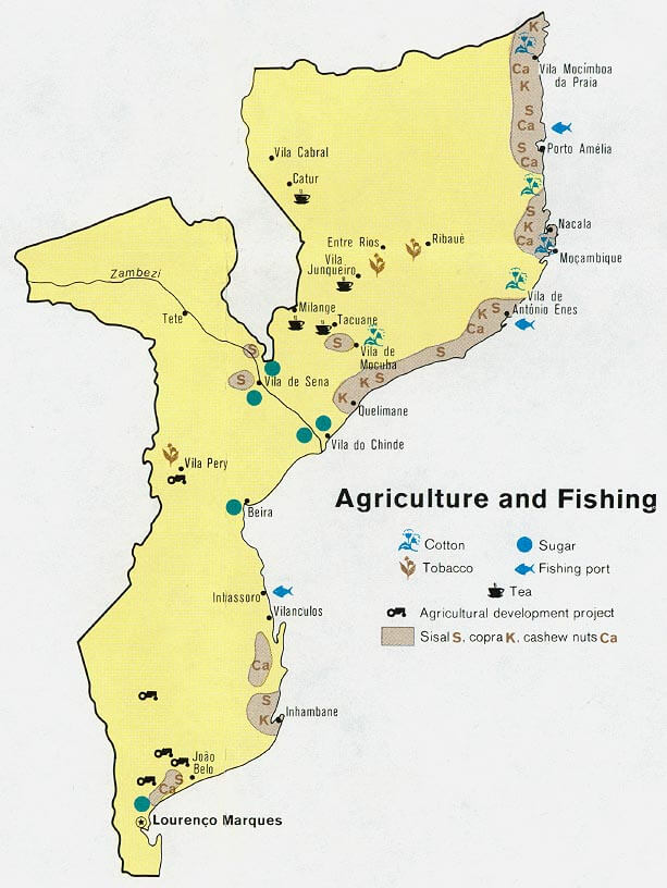
MOZAMBIQUE AGRICULTURE FISHING MAP
MOZAMBIQUE CITIES MAP
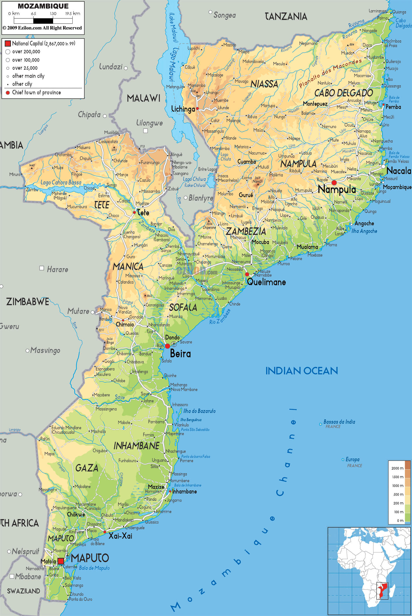
MOZAMBIQUE PHYSICAL MAP
MOZAMBIQUE POLITICAL MAP
MOZAMBIQUE REGIONAL MAP
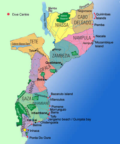
MOZAMBIQUE REGIONS MAP
MOZAMBIQUE RELIEF MAP
POLITICAL MAP MOZAMBIQUE
POLITICAL MAP OF MOZAMBIQUE
POLITICAL MOZAMBIQUE MAP
REGIONS MAP OF MOZAMBIQUE
MOZAMBIQUE EARTH MAP
Author: Arif Cagrici
