Namibia Map FQA
How many cities are in Namibia ?
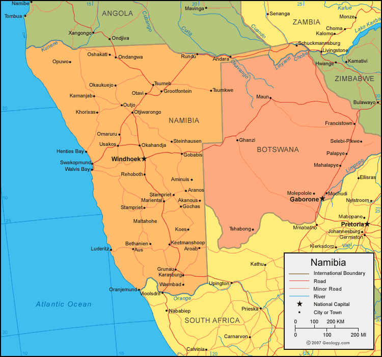
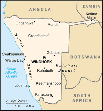
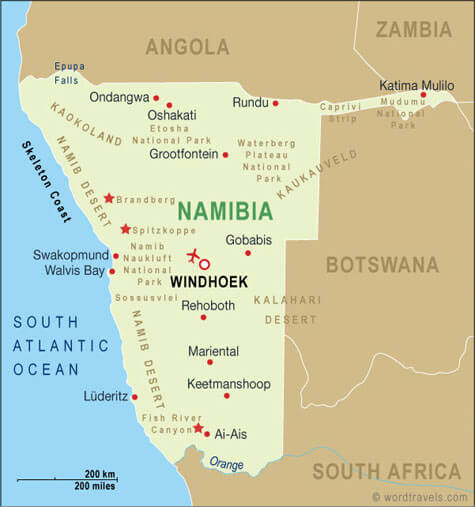
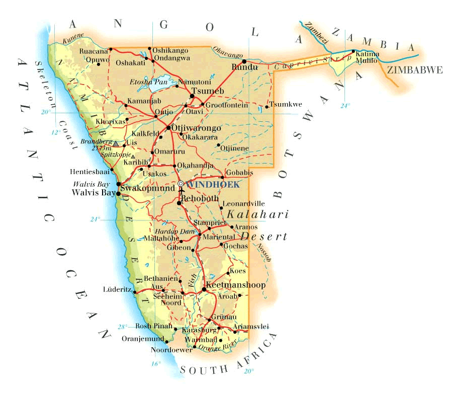
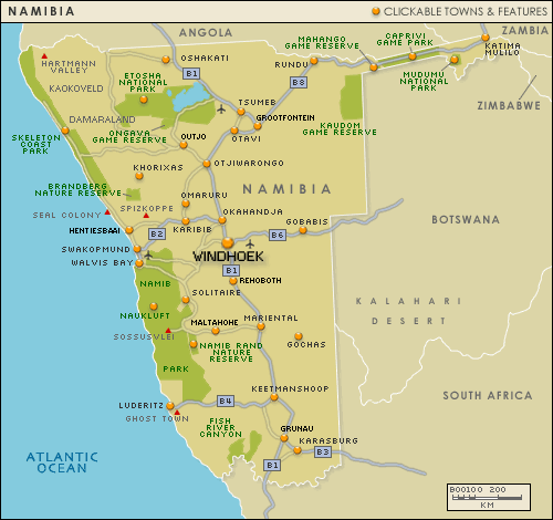
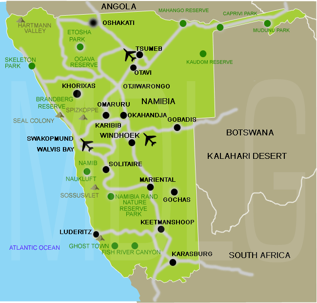
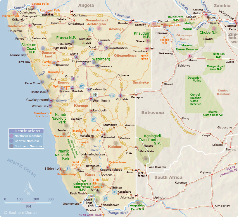
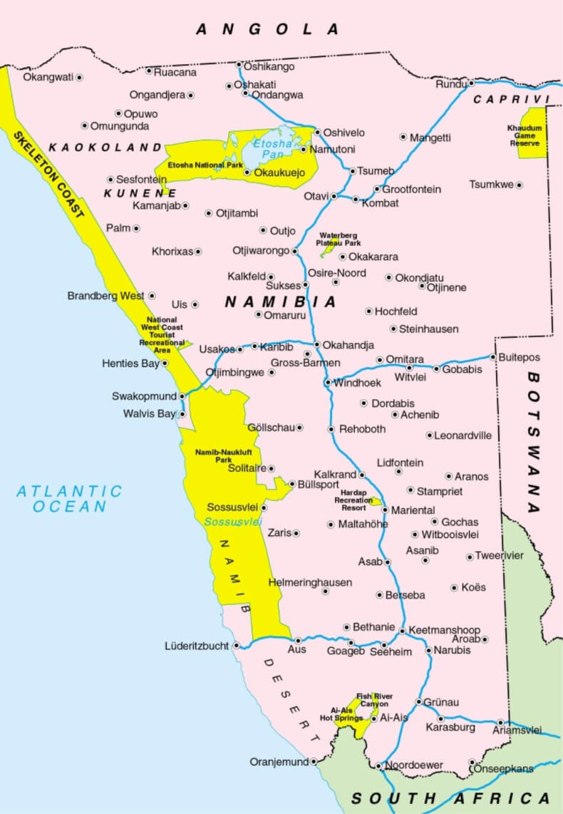
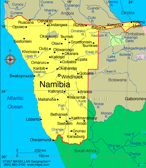
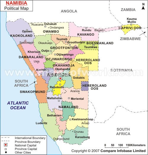
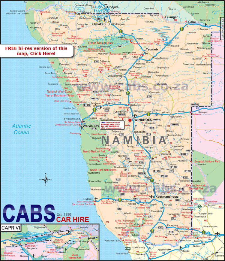
Namibia has about 10 major cities/towns. The largest by population are: Windhoek; Rundu; Walvis Bay; Swakopmund; Oshakati; Rehoboth; Katima Mulilo; Otjiwarongo; Ondangwa; Okahandja.
What are the major geographical features of Namibia ?
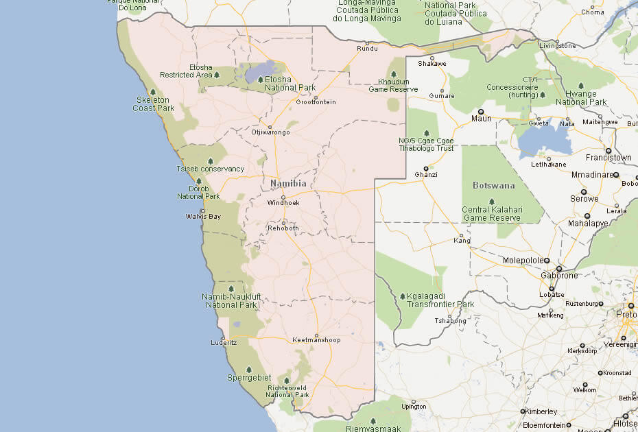
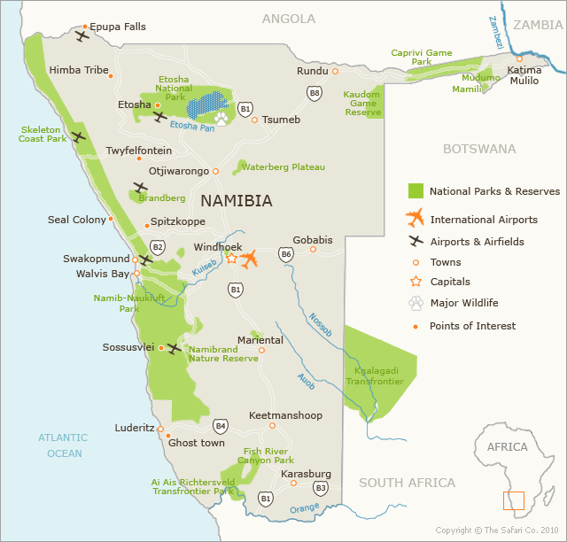
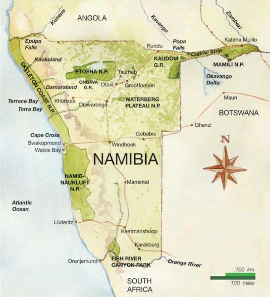
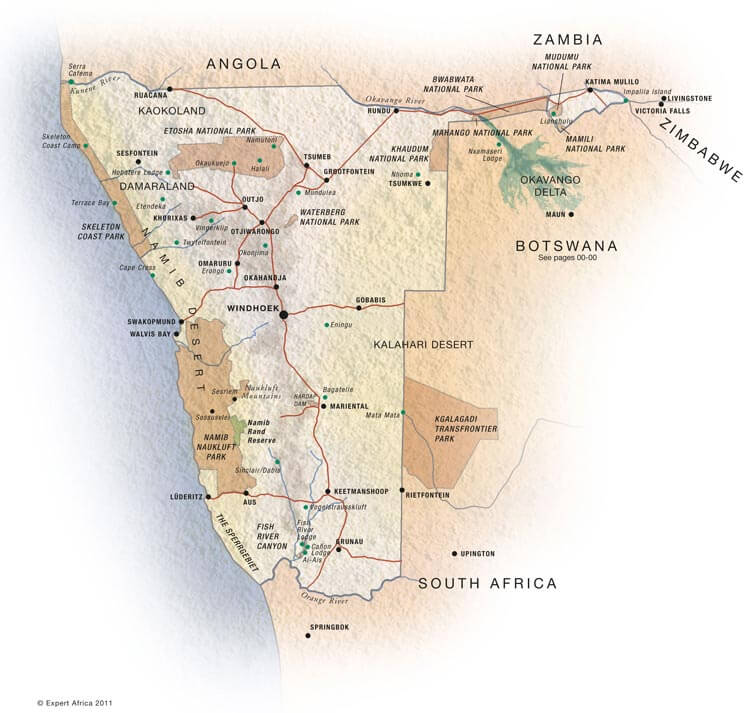
Namibia in southern Africa is dominated by the Namib Desert along the coast and the Kalahari Desert inland. The central plateau includes mountains and the Fish River Canyon.
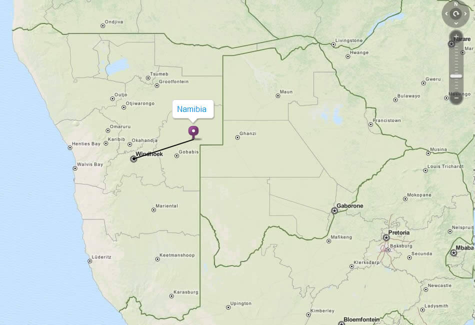
MAP OF NAMIBIA
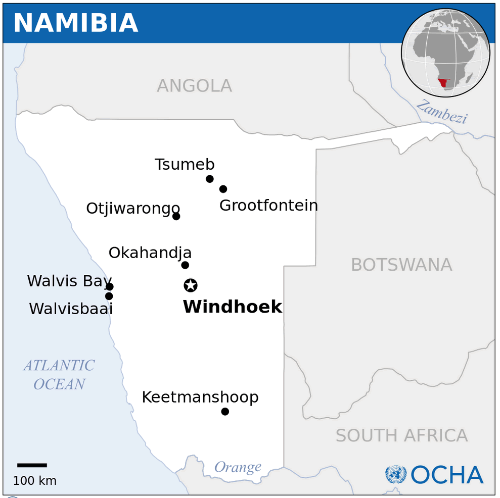
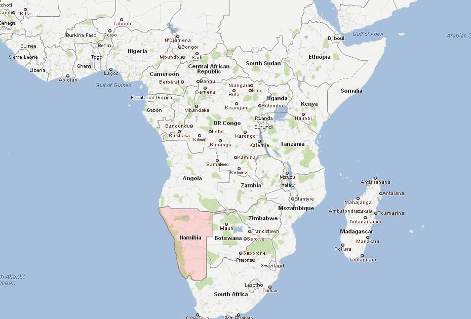
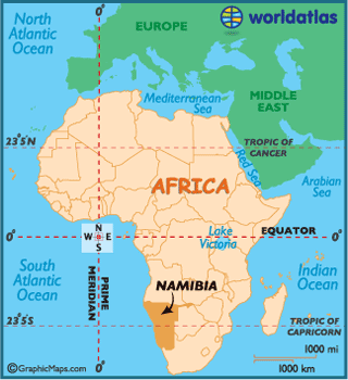
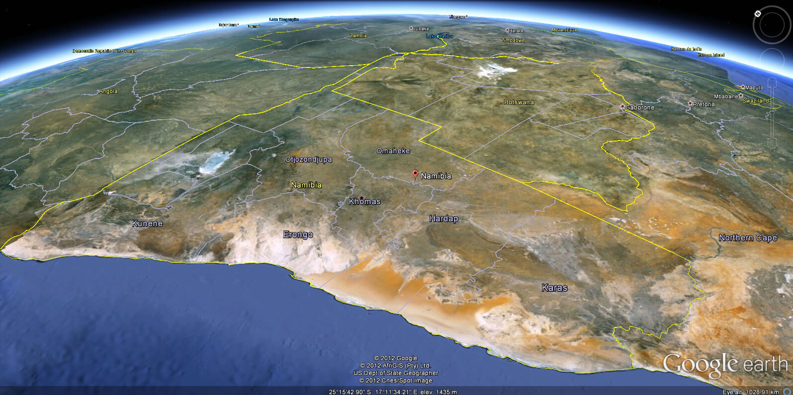
NAMIBIA LOCATION MAP
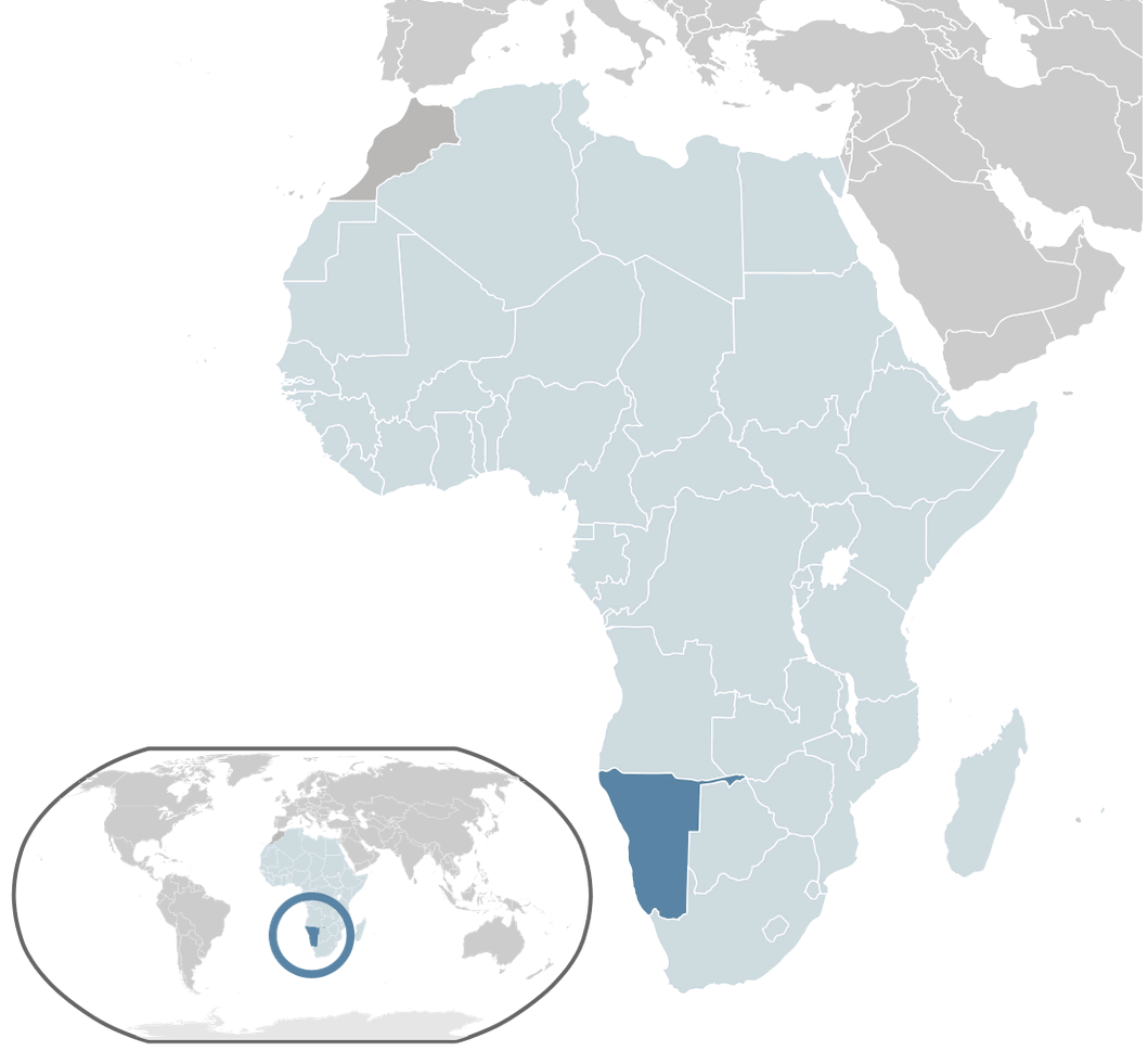
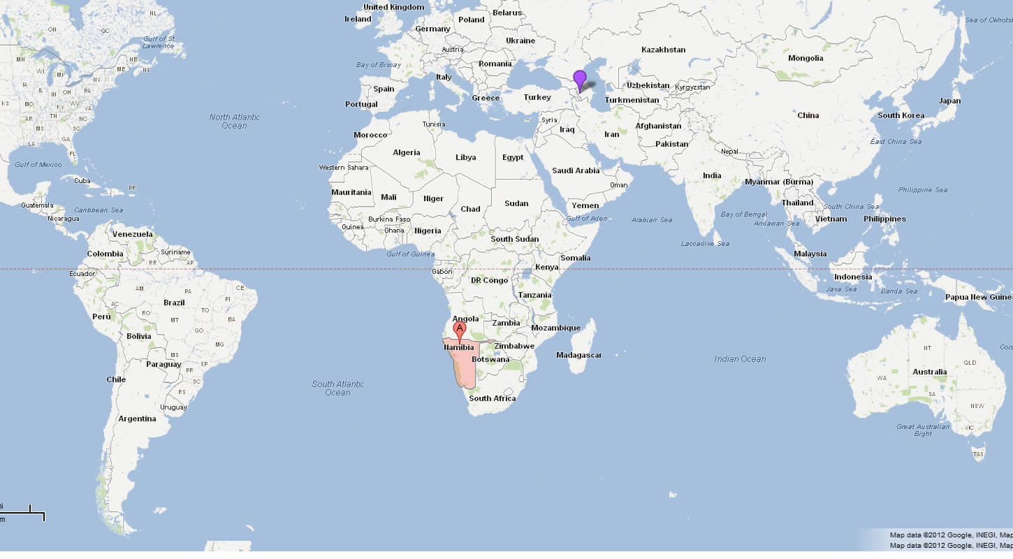
WHERE IS NAMIBIA IN THE WORLD
Can I download a high-resolution map of Namibia ?
Yes. Download high-resolution political and physical maps of Namibia for personal or educational use. Redistribution is subject to the terms of our license.
- Capital :
Windhoek
- Population :
2,100,000
- GDP :
$12.461 billion
- Per Capita :
$5,828
- Calling Code :
+264
- Jobless Rate :
51.20%
- Time Zone :
+1
With interactive Namibia Map, view regional highways maps, road situations, transportation, lodging guide, geographical map, physical maps and more information. On Namibia Map, you can view all states, regions, cities, towns, districts, avenues, streets and popular centers' satellite, sketch and terrain maps.
For more about Namibia >>
A Collection of Namibia Maps and Namibia Satellite Images
MAP OF NAMIBIA

NAMIBIA LOCATION MAP
WHERE IS NAMIBIA IN THE WORLD
CITIES MAP OF NAMIBIA
MAP OF NAMIBIA AFRICA
MAP OF NAMIBIA WORLD
MAP OF NAMIBIA
MAP NAMIBIA
NAMIBIA CITIES MAP
NAMIBIA MAP
NAMIBIA MAP WINDHOEK
NAMIBIA MAP
NAMIBIA AFRICA MAP
NAMIBIA MAP
NAMIBIA MAP
NAMIBIA MAP POLITICAL
NAMIBIA NATIONAL MAP
NAMIBIA PHYSICAL MAP
NAMIBIA POLITICAL MAP
NAMIBIAMAP
PHYSICAL MAP OF NAMIBIA
POLITICAL MAP OF NAMIBIA

NAMIBIA EARTH MAP
Author: Arif Cagrici
