Togo Map FQA
How many cities are in Togo ?
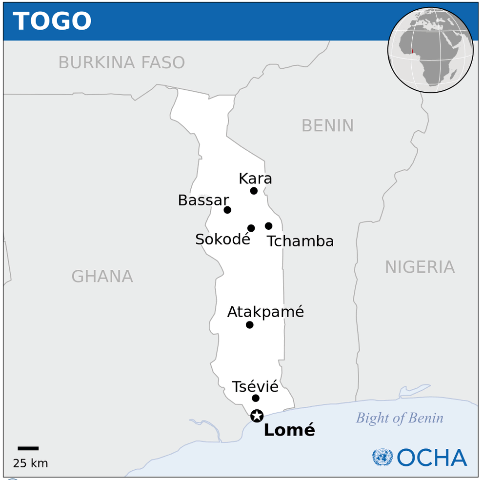
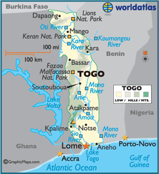
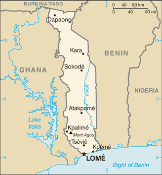
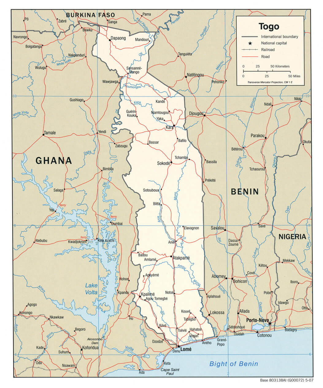
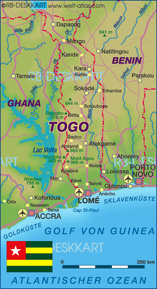
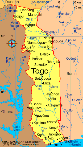
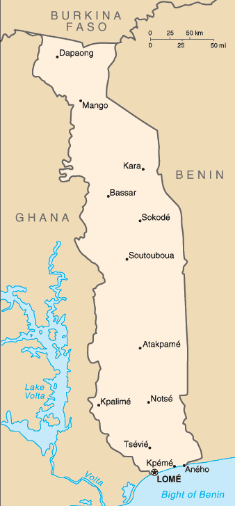
Togo has about 5 major cities. The largest by population are: Lomé; Sokodé; Kara; Kpalimé; Atakpamé.
What are the major geographical features of Togo ?
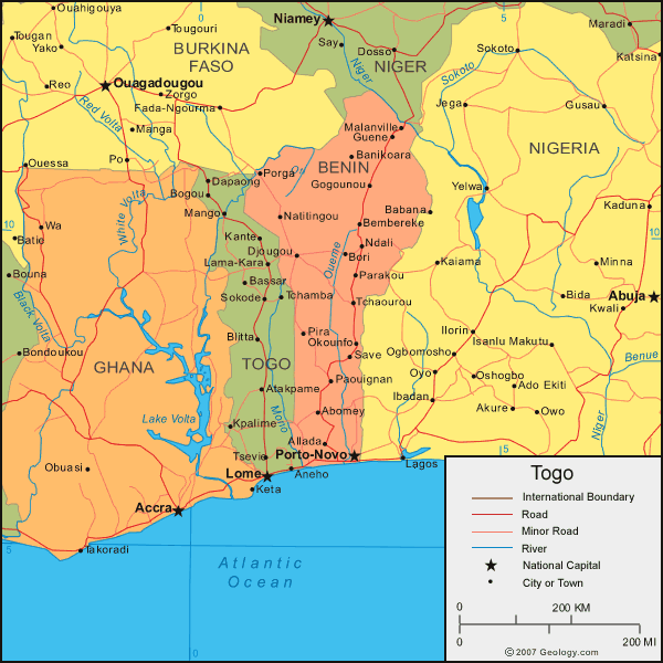
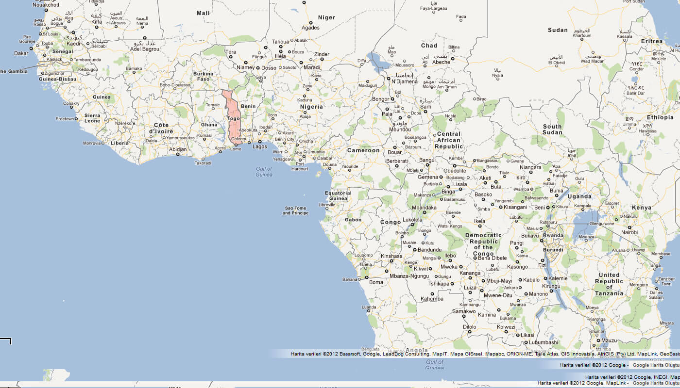
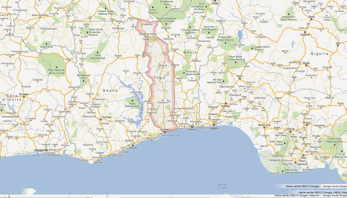
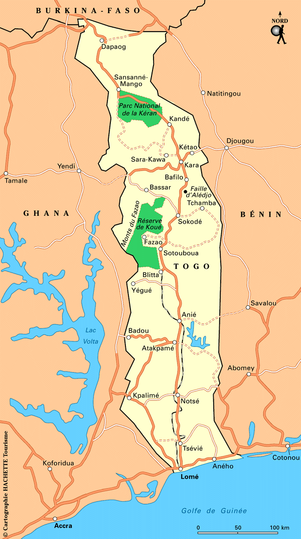
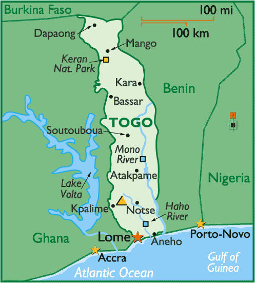
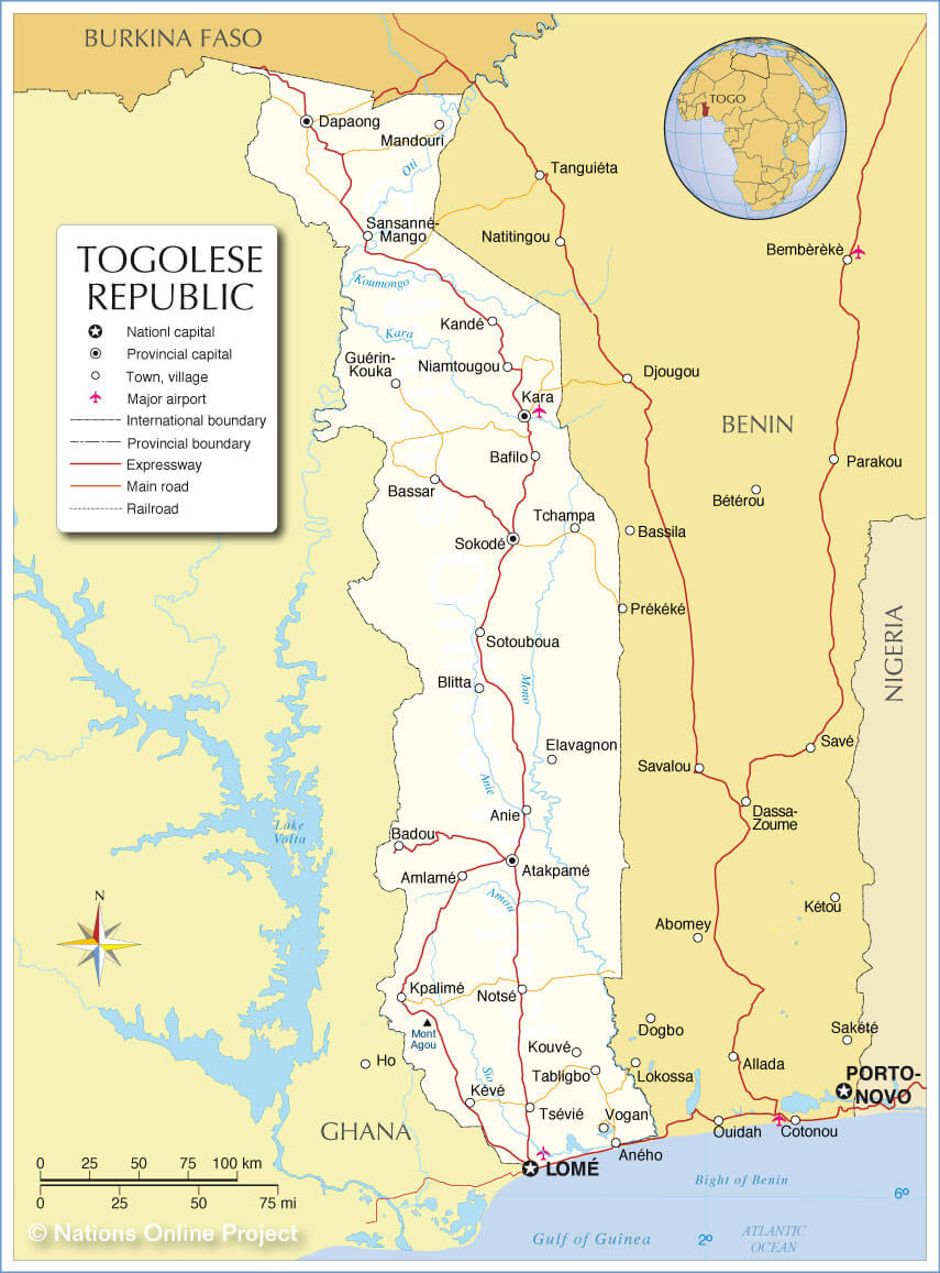
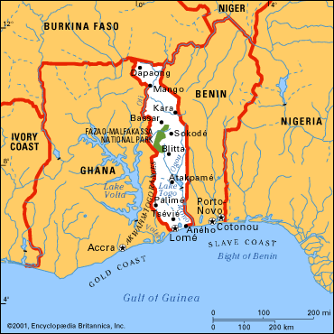
Togo in West Africa is a narrow country with a southern coastal plain, central hills, and northern savannas. It also has the Togo Mountains and rivers such as the Mono and Oti.
MAP OF TOGO

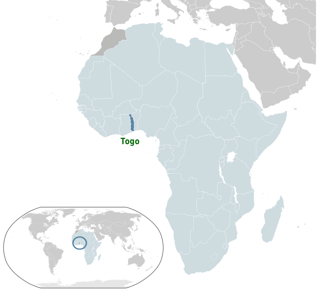
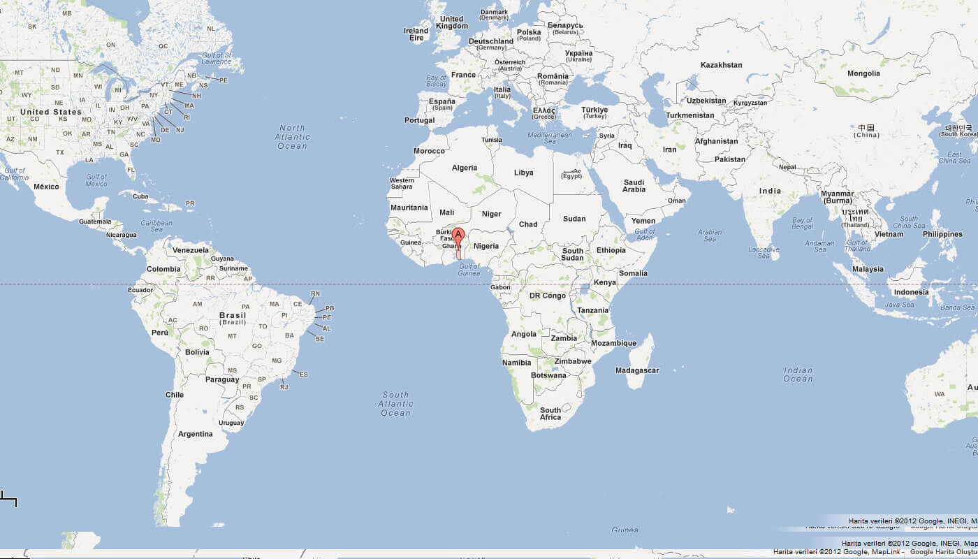
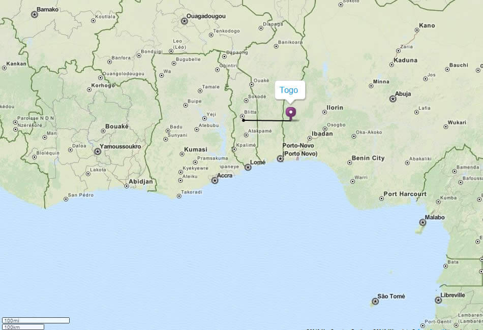
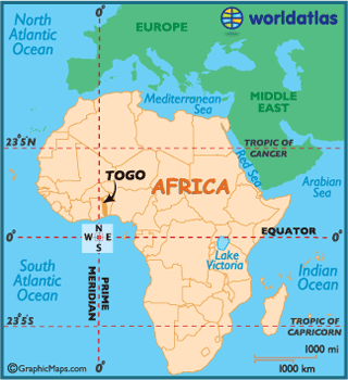
TOGO LOCATION MAP
WHERE IS TOGO IN THE WORLD
Can I download a high-resolution map of Togo ?
Yes. Download high-resolution political and physical maps of Togo for personal or educational use. Redistribution is subject to the terms of our license.
- Capital :
Lome
- Population :
6,619,000
- GDP :
$3.611 billion
- Per Capita :
$505
- Calling Code :
+228
- Jobless Rate :
6.80%
- Time Zone :
+0
With interactive Togo Map, view regional highways maps, road situations, transportation, lodging guide, geographical map, physical maps and more information. On Togo Map, you can view all states, regions, cities, towns, districts, avenues, streets and popular centers' satellite, sketch and terrain maps.
For more about Togo >>
A Collection of Togo Maps and Togo Satellite Images
MAP OF TOGO
TOGO LOCATION MAP
WHERE IS TOGO IN THE WORLD
MAP OF TOGO AFRICA
MAP OF TOGO WORLD
MAP OF TOGO
MAP TOGO
TOGO MAP
TOGO POLITICAL MAP
TOGO MAP BENIN GHANA
TOGO MAP

TOGO POLITICAL MAP
TOGO REGIONS MAP
TOGO RELIEF MAP
TOGO LOME MAP
TOGO MAP
TOGO MAP AFRICA
TOGO MAP LOME
TOGO REGIONAL MAP
TOGO EARTH MAP
Author: Arif Cagrici
