Trinidad and Tobago Map
Explore the beauty and diversity of Trinidad and Tobago with our detailed map. From the bustling city of Port of Spain to the serene beaches of Tobago, there's something for everyone to enjoy.
Plan your perfect Caribbean getaway with our Trinidad and Tobago map! Discover the country's stunning beaches, lush rainforests, and vibrant culture.
Trinidad and Tobago Map FQA
How many cities are in Trinidad and Tobago ?
Trinidad and Tobago has 5 main cities. The largest by population are: Chaguanas; San Fernando; Port of Spain; Arima; Point Fortin.What are the major geographical features of Trinidad and Tobago ?
Trinidad and Tobago, located in the Caribbean near Venezuela, consists of two main islands. Trinidad has the Northern Range mountains, the Caroni Swamp, and fertile plains, while Tobago is more hilly with coral reefs and beaches.MAP OF TRINIDAD AND TOBAGO
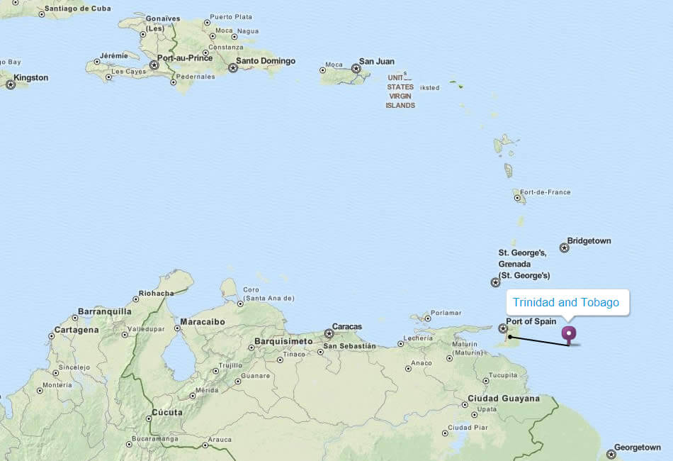
TRINIDAD AND TOBAGO LOCATION MAP
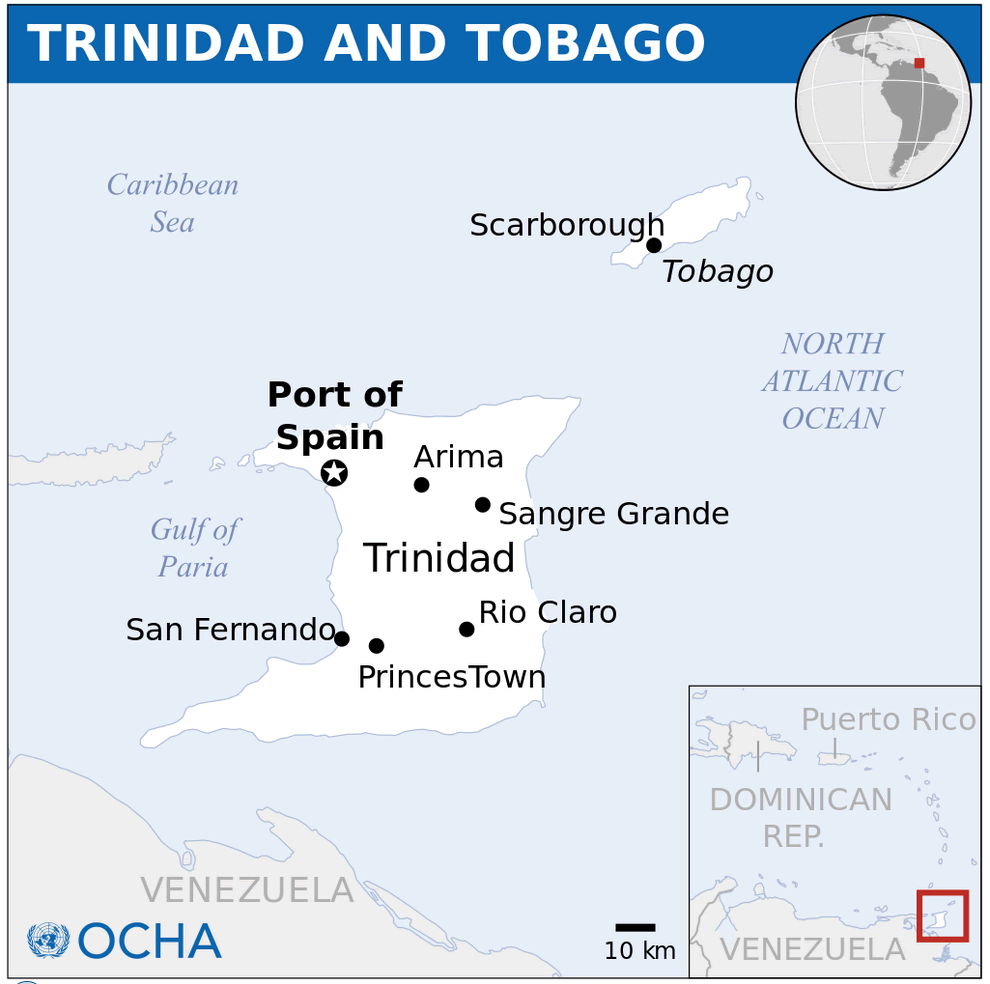
WHERE IS TRINIDAD AND TOBAGO IN THE WORLD
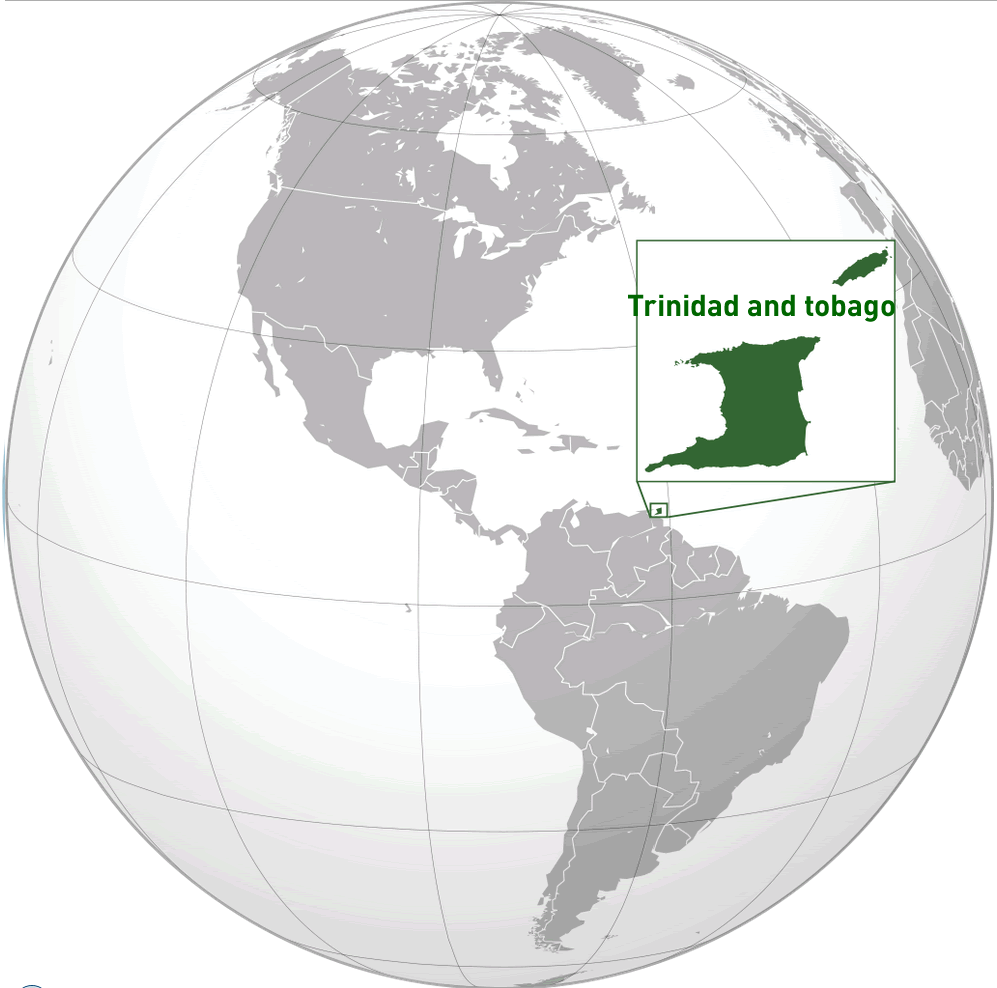
Can I download a high-resolution map of Trinidad and Tobago ?
Yes. Download high-resolution political and physical maps of Trinidad and Tobago for personal or educational use. Redistribution is subject to the terms of our license.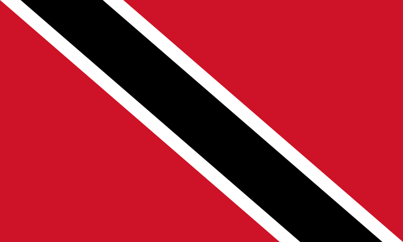
- Capital : Port of Spain
- Population : 1,346,350
- GDP : $22.707 billion
- Per Capita : $17,158
- Calling Code : +1-868
- Jobless Rate : 5.40%
- Time Zone : -4
Where is located Trinidad and Tobago on the Map
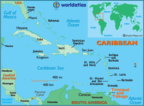
Trinidad and Tobago is located in the southern Caribbean, just off the coast of Venezuela.
These two Caribbean islands may be small in size, but they are big on adventure, culture, and natural beauty. From the bustling streets of Port of Spain to the idyllic beaches of Tobago, there is something for everyone in this tropical paradise.
With Trinidad and Tobago detailed map, you can explore the unique geography of the islands, including lush rainforests, scenic coastlines, and stunning coral reefs. Learn about the history and culture of Trinidad and Tobago, which blends African, Indian, European, and indigenous influences into a vibrant and colorful tapestry.
Whether you're planning a beach vacation, an eco-tourism adventure, or a cultural immersion, our map will help you discover everything Trinidad and Tobago has to offer.
For more about Trinidad and Tobago >>
A Collection of Trinidad and Tobago Maps and Trinidad and Tobago Satellite Images
MAP OF TRINIDAD AND TOBAGO

TRINIDAD AND TOBAGO LOCATION MAP

WHERE IS TRINIDAD AND TOBAGO IN THE WORLD

MAP OF TRINIDAD AND TOBAGO CARIBBEAN SEA
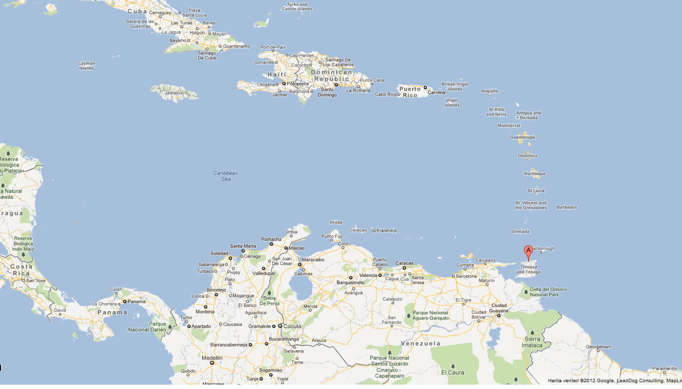
MAP OF TRINIDAD AND TOBAGO WORLD
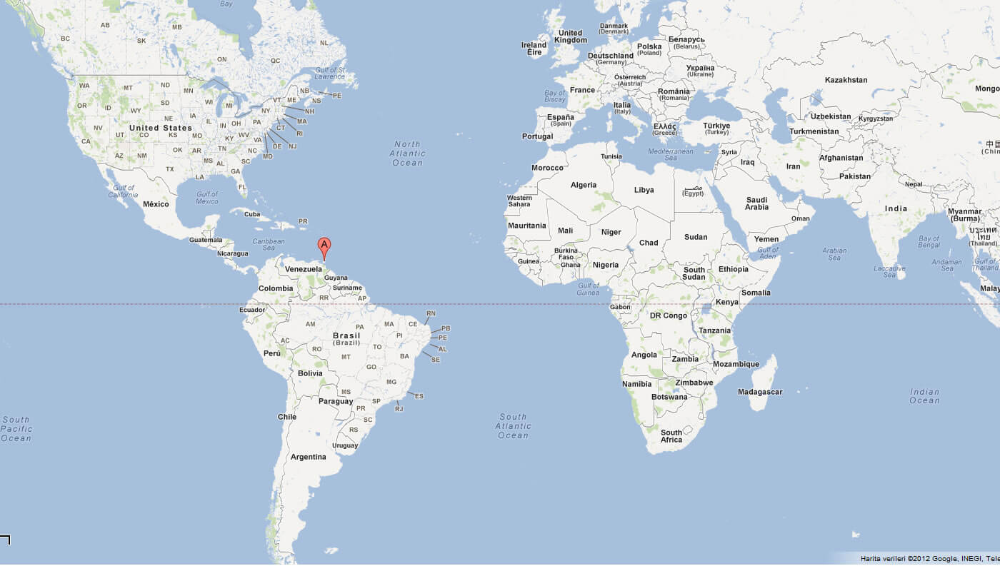
MAP OF TRINIDAD AND TOBAGO
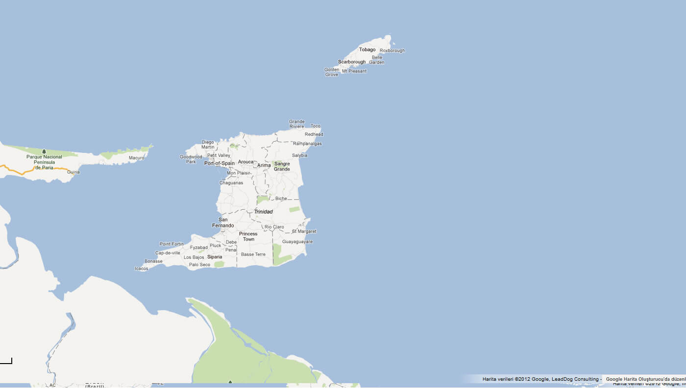
MAP OF TRINIDAD TOBAGO
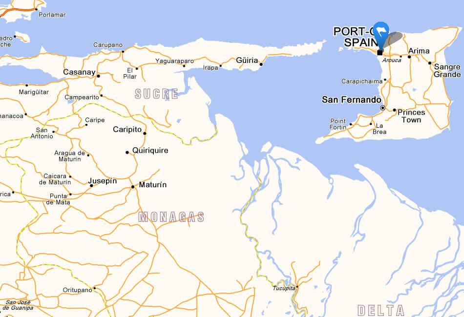
PHYSICAL MAP TRINIDAD TOBAGO
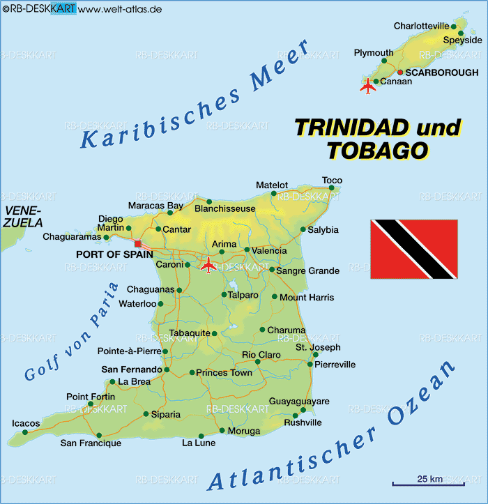
TRINIDAD AND TOBAGO CARIBBEAN MAP
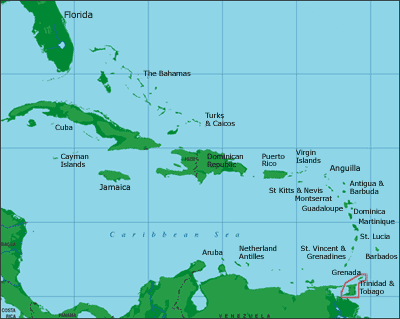
TRINIDAD AND TOBAGO MAP
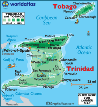
TRINIDAD PHYSICAL MAP
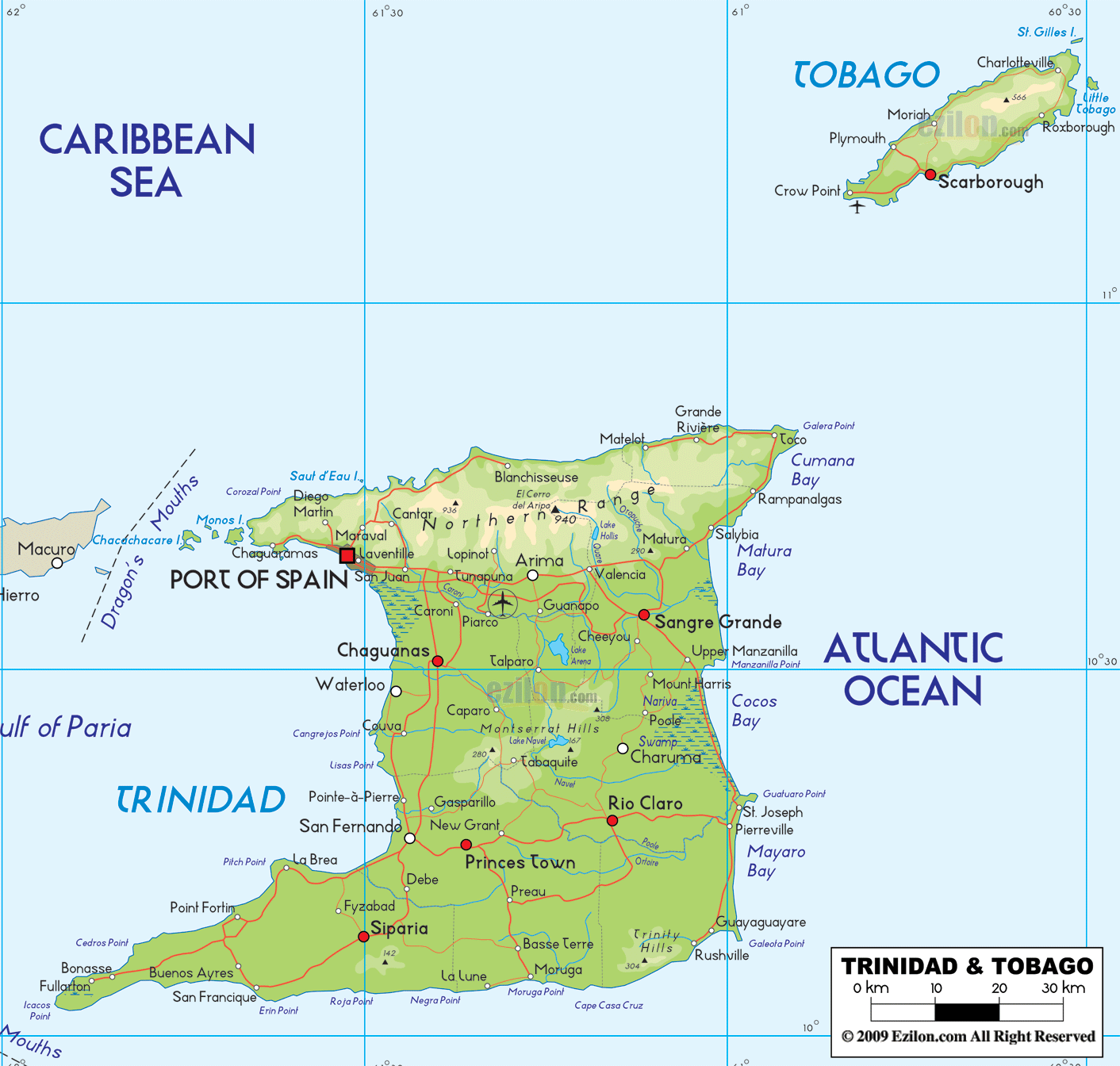
TRINIDAD TOBAGO MAP
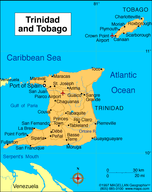
TRINIDAD AND TOBAGO MAP
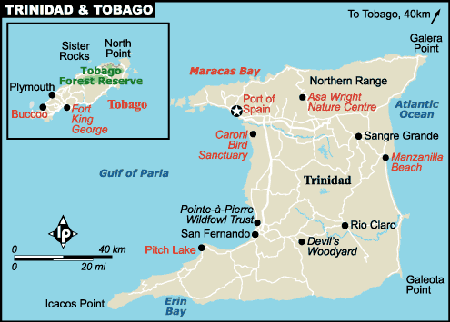
TRINIDAD MAP
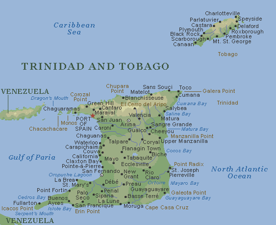
TRINIDAD TOBAGO MAP
- Head of Performance Marketing
- Head of SEO
- Linkedin Profile: linkedin.com/in/arifcagrici

