Greenland Map FQA
How many cities are in Greenland ?
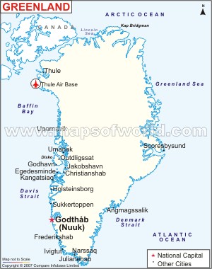
Greenland has no large cities. The main settlements are: Nuuk, Sisimiut, Ilulissat, Qaqortoq, Aasiaat, Maniitsoq, Tasiilaq, Paamiut, Narsaq, and Nanortalik.
What are the major geographical features of Greenland ?
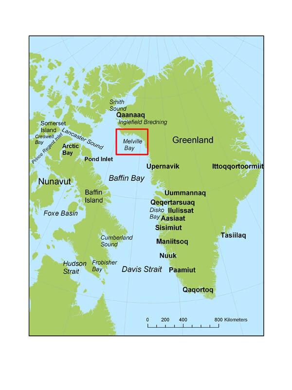
Greenland, the world’s largest island, is covered mostly by an ice sheet. It has coastal mountains, fjords, glaciers, and a small strip of habitable tundra along the coast.
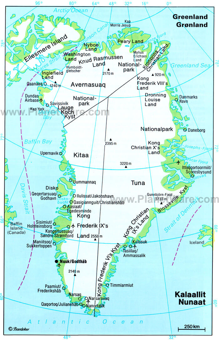
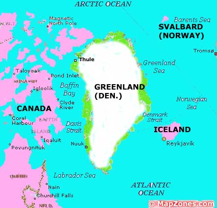
MAP OF GREENLAND

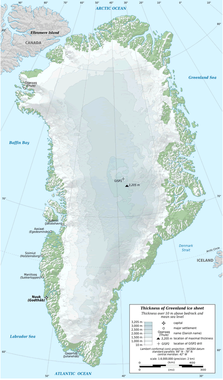
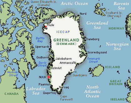
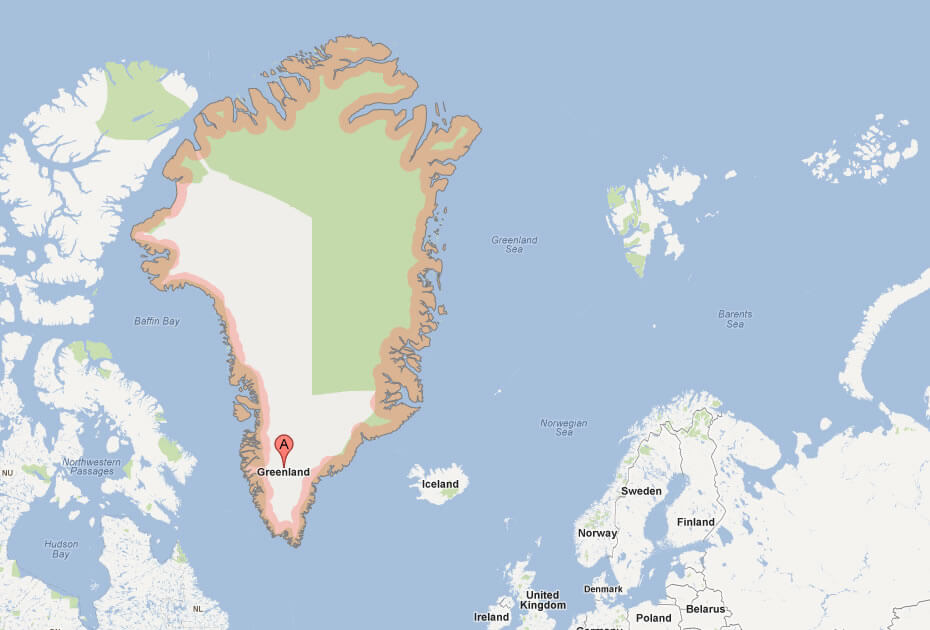
GREENLAND ICE SHEET MAP
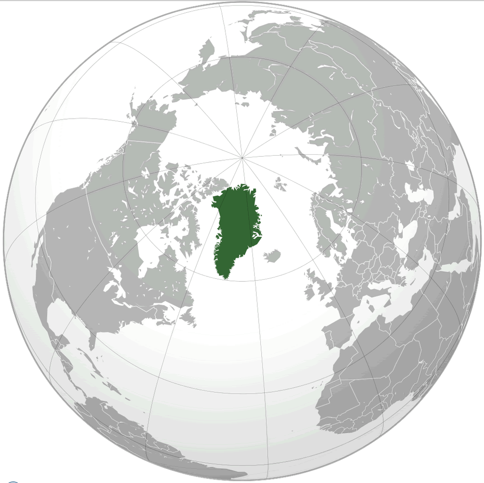
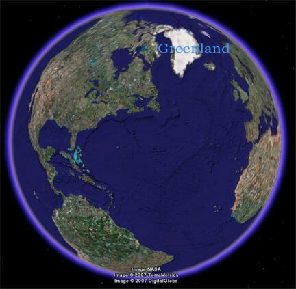
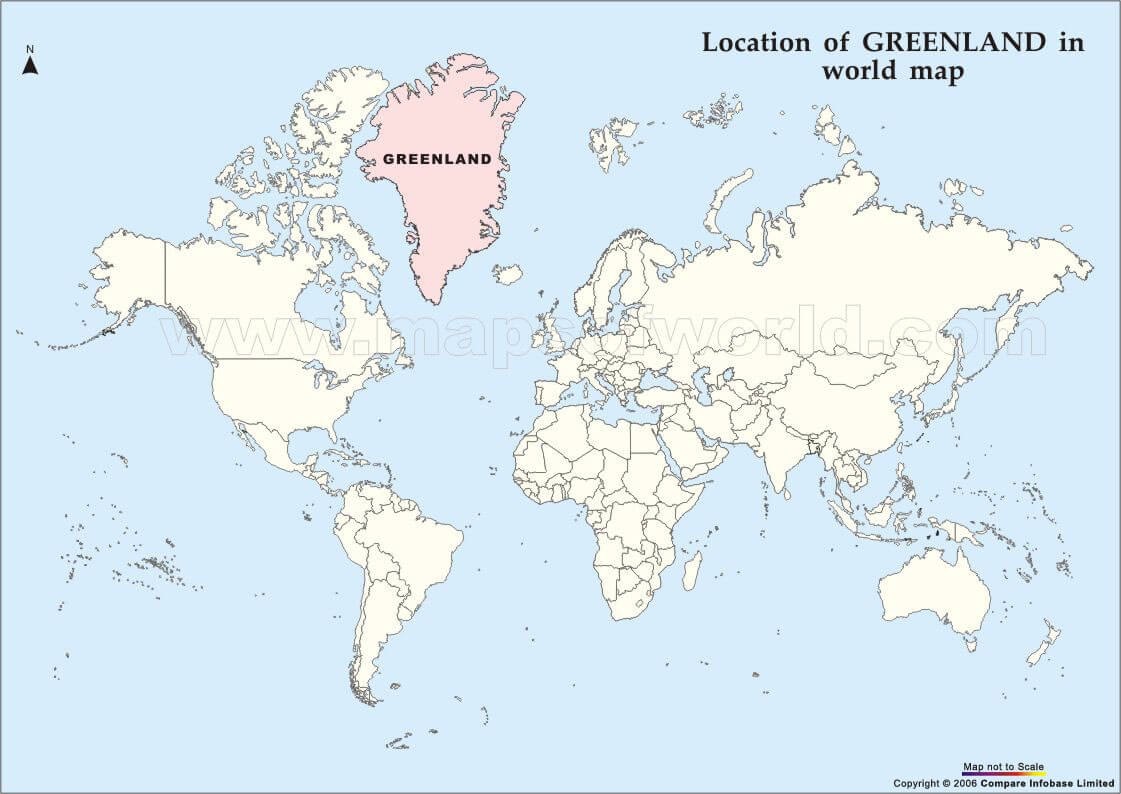
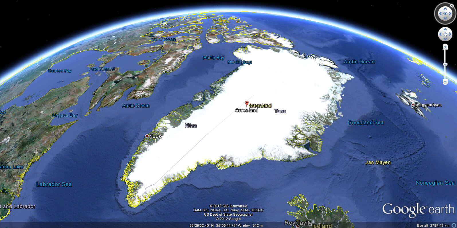
WHERE IS GREENLAND IN THE WORLD
Can I download a high-resolution map of Greenland ?
Yes. Download high-resolution political and physical maps of Greenland for personal or educational use. Redistribution is subject to the terms of our license.
- Capital :
Nuuk
- Population :
56,749
- GDP :
11.3 billion kr
- Per Capita :
$33,788
- Calling Code :
+299
- Jobless Rate :
N/A
- Time Zone :
-4
With interactive Greenland Map, view regional highways maps, road situations, transportation, lodging guide, geographical map, physical maps and more information. On Greenland Map, you can view all states, regions, cities, towns, districts, avenues, streets and popular centers' satellite, sketch and terrain maps.
A Collection of Greenland Maps and Greenland Satellite Images
MAP OF GREENLAND
GREENLAND ICE SHEET MAP
WHERE IS GREENLAND IN THE WORLD
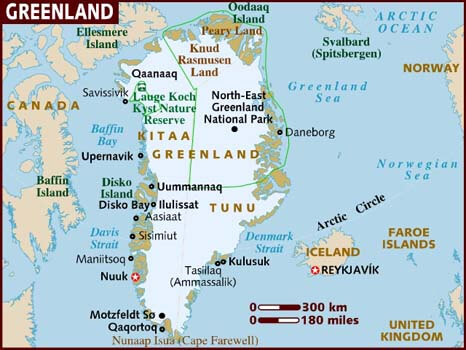
GREENLAND CITIES MAP
GREENLAND ISLAND MAP
GREENLAND MAP
GREENLAND POLITICAL MAP
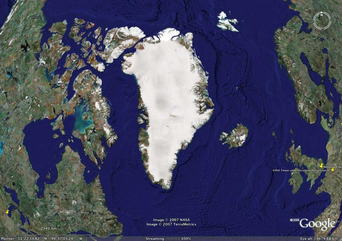
GREENLAND SATELLITE MAP
GREENLAND MAP
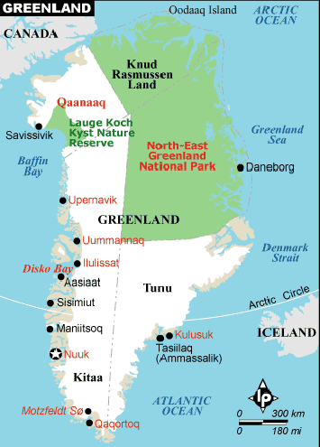
GREENLAND MAP
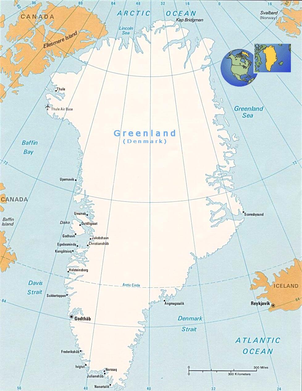
GREENLAND MAP
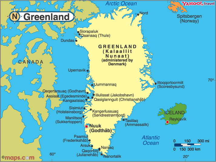
GREENLAND MAP
GREENLAND MAP WORLD
MAP OF GREENLAND
MAP OF GREENLAND
MAP GREENLAND
GREENLAND EARTH MAP
Author: Arif Cagrici
