With interactive Delaware Map, view regional highways maps, road situations, transportation, lodging guide, geographical map, physical maps and more information. On Delaware Map, you can view all states, regions, cities, towns, districts, avenues, streets and popular centers' satellite, sketch and terrain maps.
Legislative Hall in Dover Delaware

Largest Cities Map of Delaware and Population
Wilmington Map -
70,851
Dover Map -
36,047
Newark Map -
31,454
Bear Map -
19,371
Middletown Map -
18,871
Brookside Map -
14,353
Glasgow Map -
14,303
Hockessin Map -
13,527
Pike Creek Valley Map -
11,217
Smyrna Map -
10,023
Milford Map -
9,559
Claymont Map -
8,253
North Star Map -
7,980
Pike Creek Map -
7,898
Wilmington Manor Map -
7,889
A Collection of Delaware Images
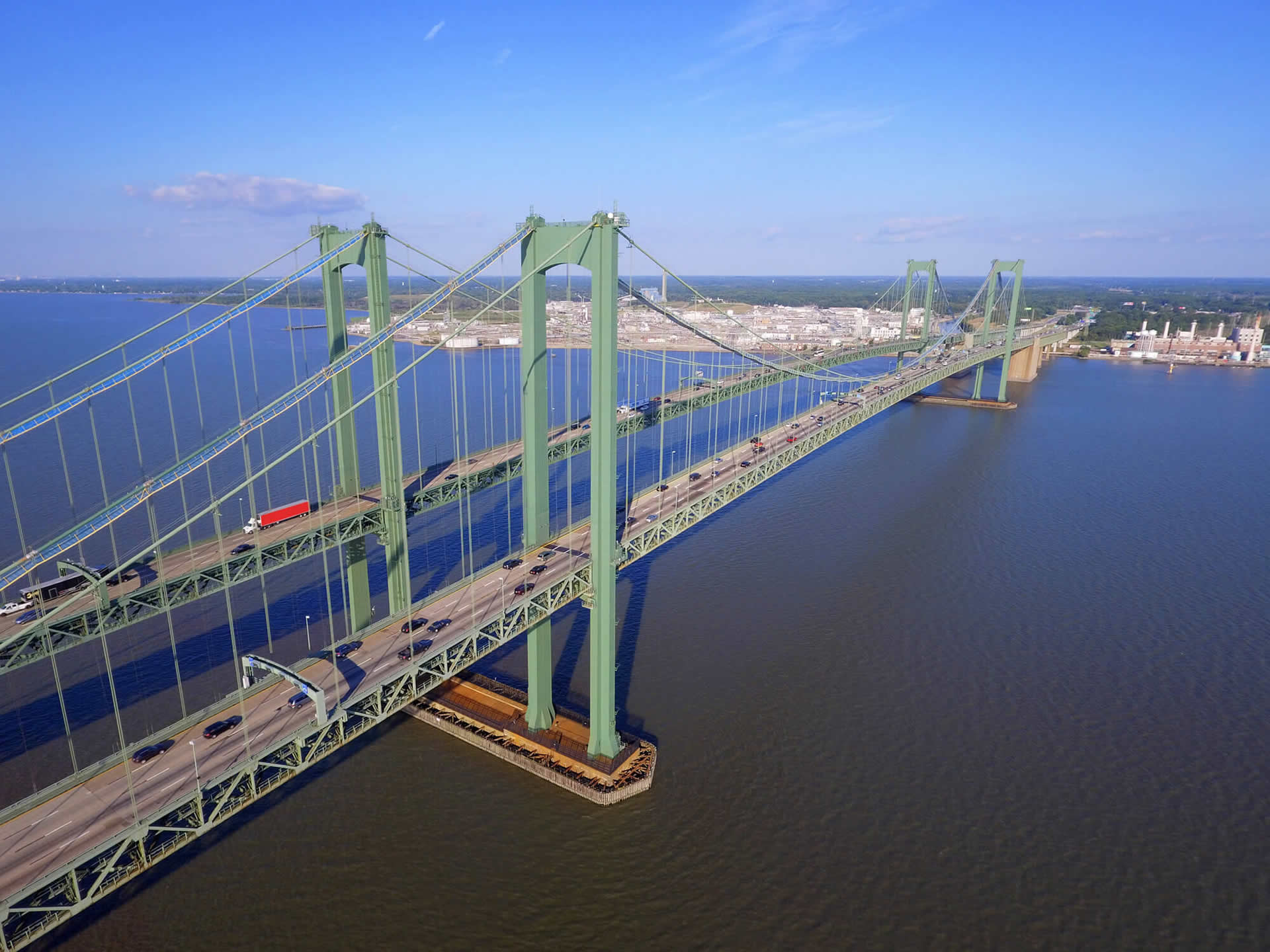
Aerial Image Delaware Memorial Bridge
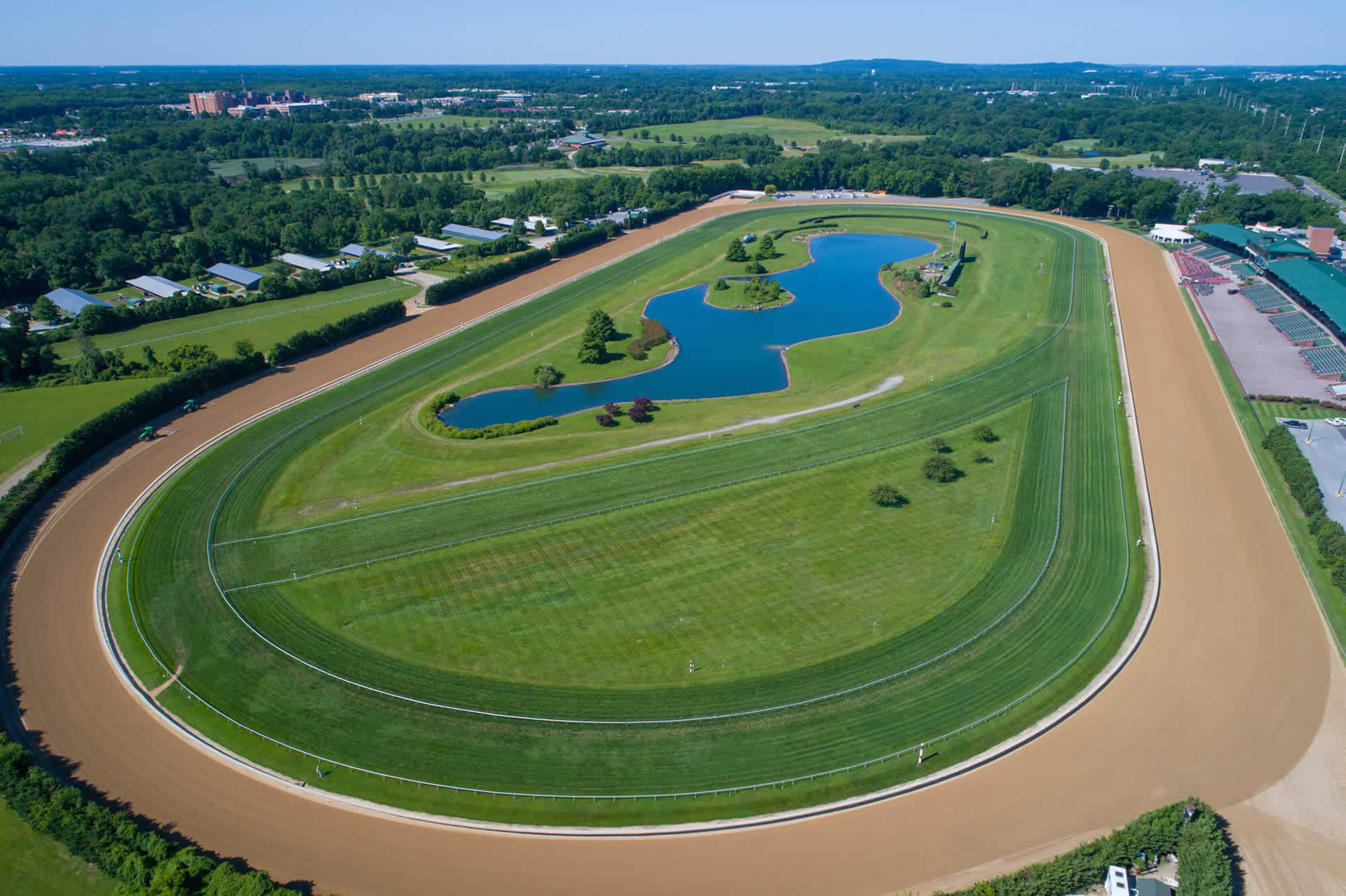
Aerial Image of the Delaware Park
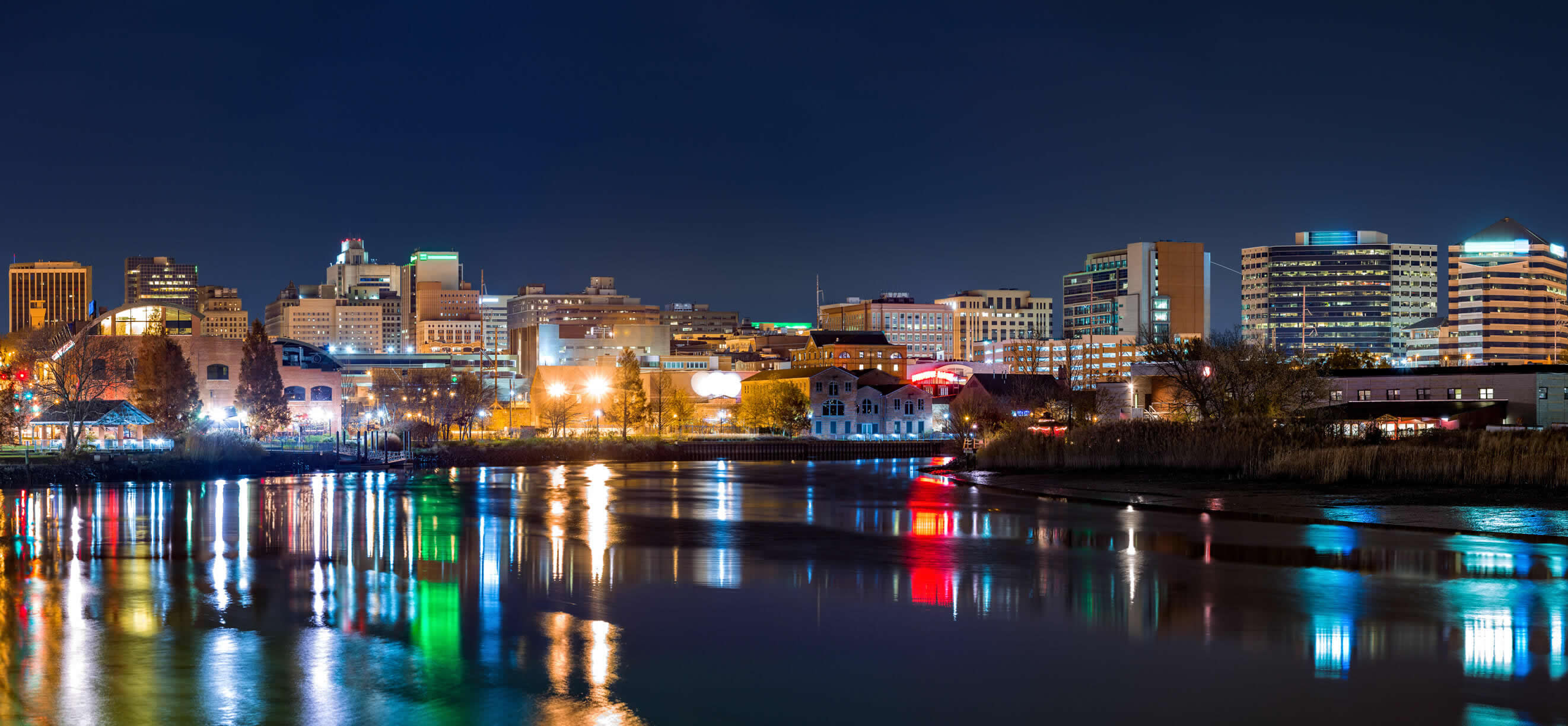
Christiana River Wilmington Delaware
State Capitol Building in Dover Delaware

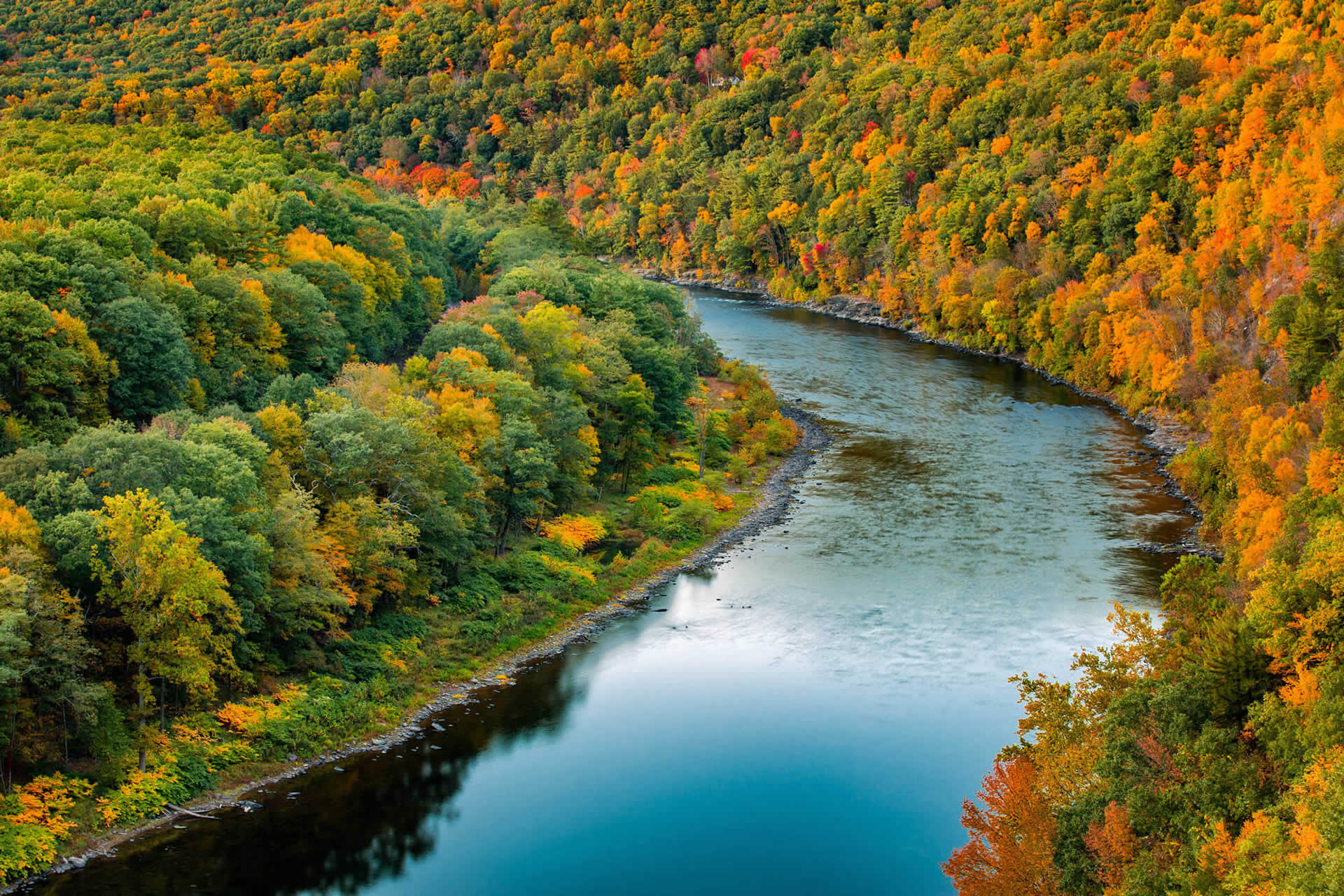
Upper Delaware River US
Delaware Google Map, Street Views, Maps Directions, Satellite Images
