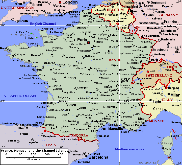
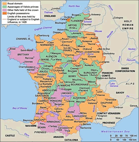
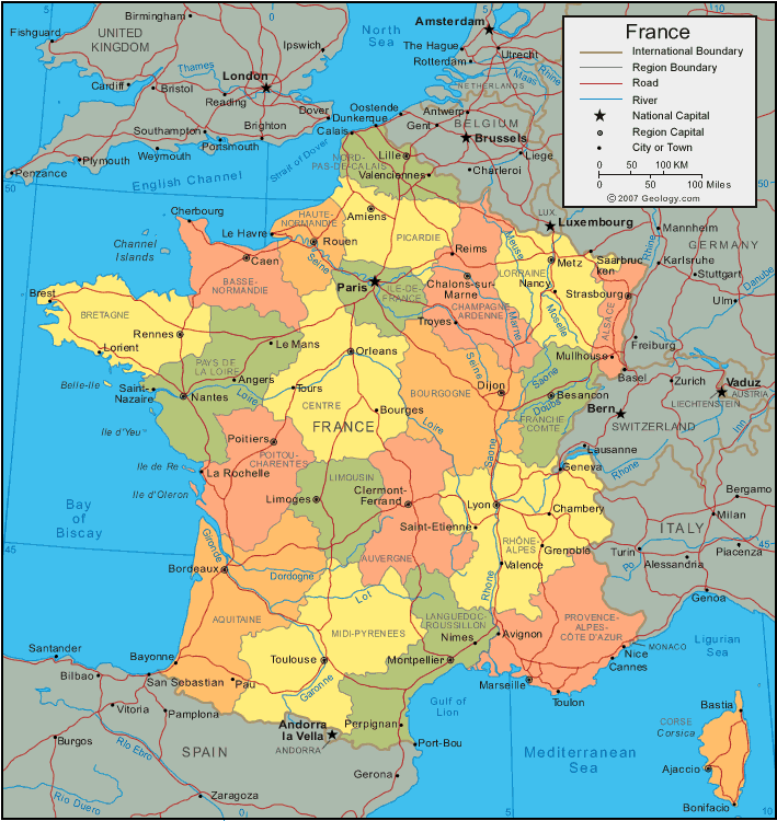
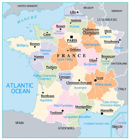
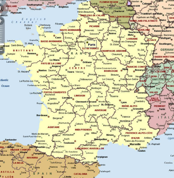
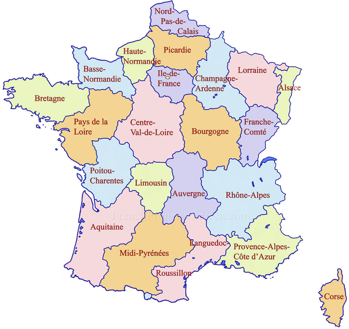
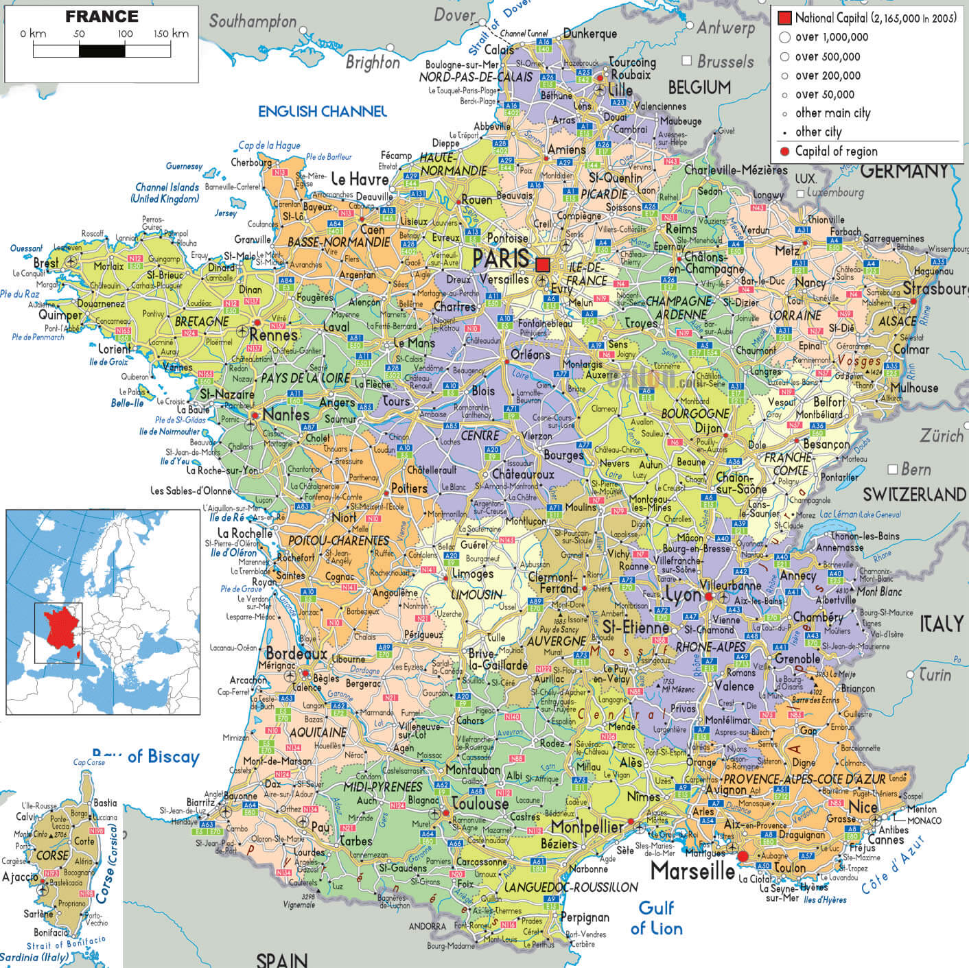
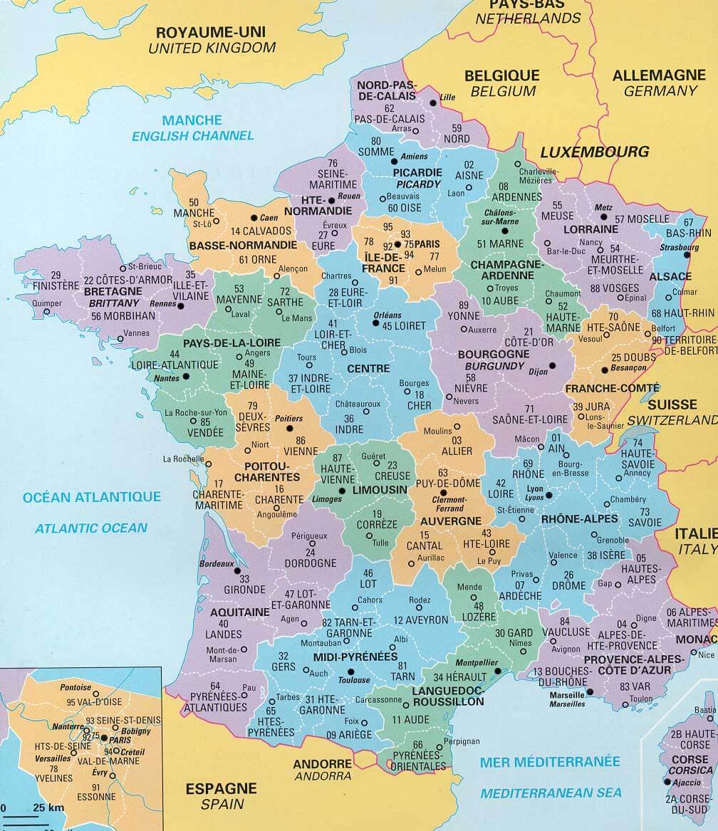
This France map shows the administrative regions of France, each of which is identified by a different color. The regions are numbered and labeled, and the major cities are also shown. France is located in Western Europe and has a diverse landscape that includes mountains, coastlines, and rural areas. Some of the major cities in France include Paris, Marseille, Lyon, Toulouse, and Nice.

Where is France on the Map
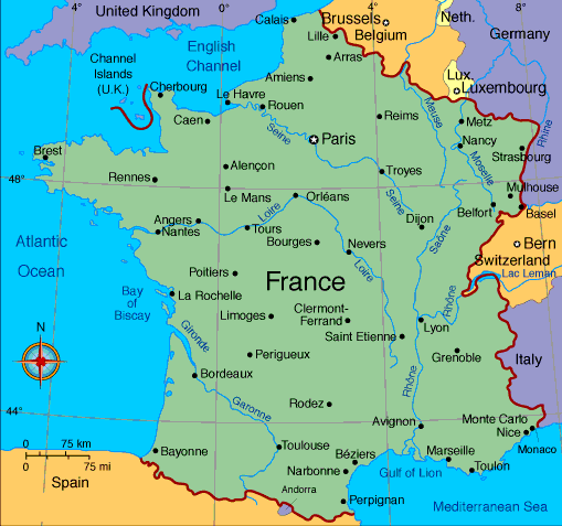
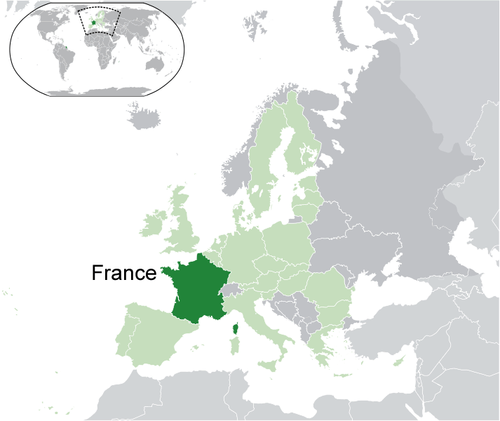
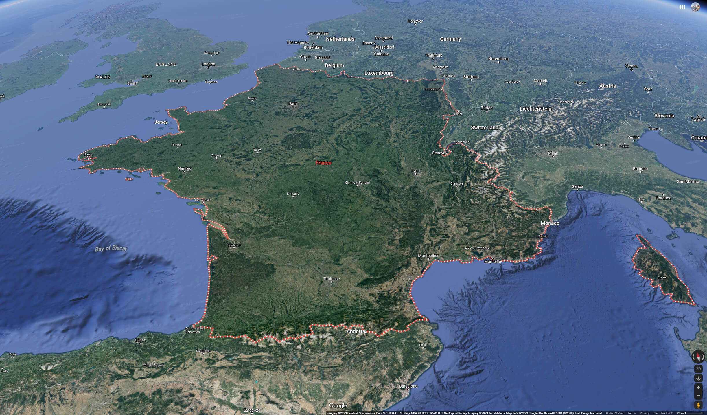
France is located in Western Europe. It shares borders with several other European countries, including Belgium, Luxembourg, Germany, Switzerland, Italy, and Spain. The country is also bordered by the Atlantic Ocean to the west and the Mediterranean Sea to the south. The country has a population of over 67 million people and is known for its rich history, culture, and cuisine.In terms of demographics, France is a multicultural country that is home to many different ethnic and religious groups. The official language is French, but there are also regional languages spoken throughout the country, including Occitan, Breton, and Alsatian.
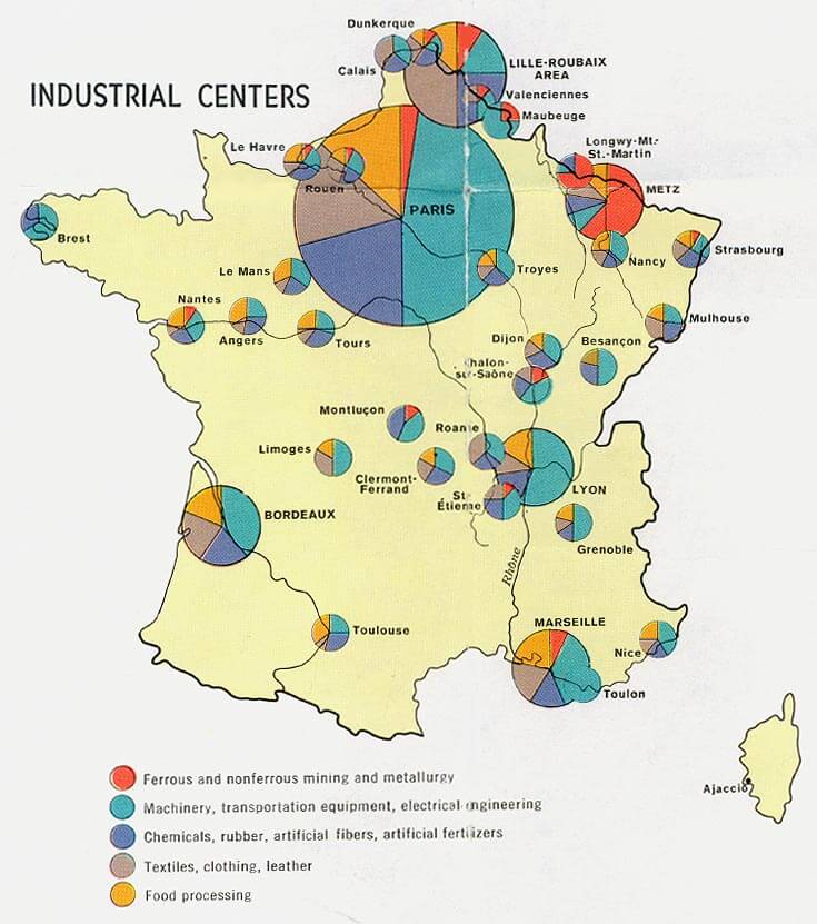
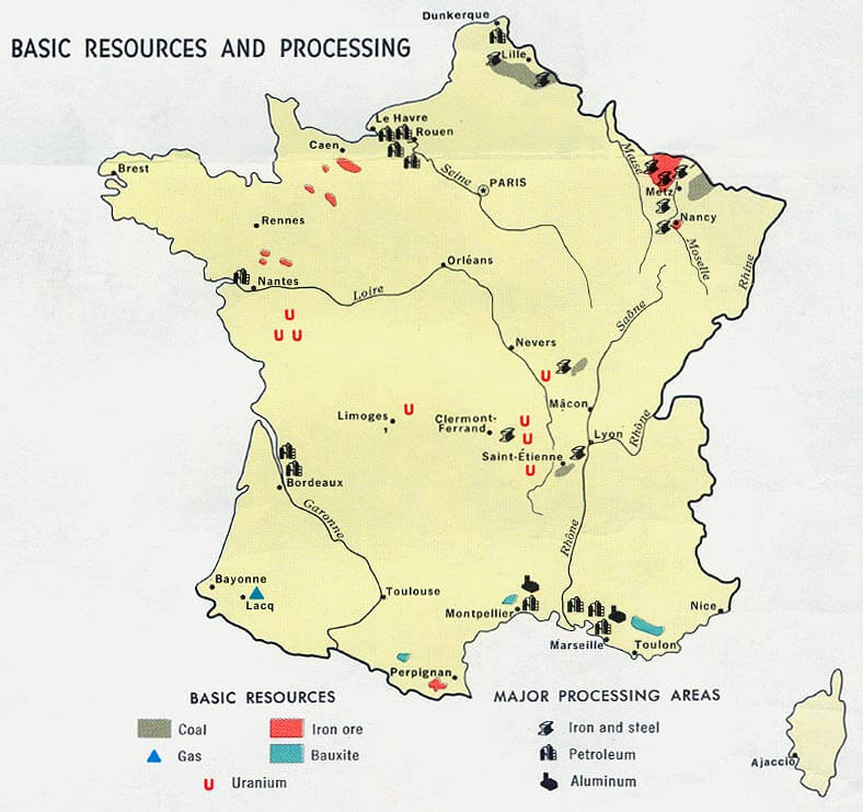
France has a mixed economy that is based on both private enterprise and government intervention. The country is a member of the European Union and has a highly developed industrial sector, as well as a strong agricultural sector. France is also a major exporter of luxury goods, including wine, cheese, and fashion.
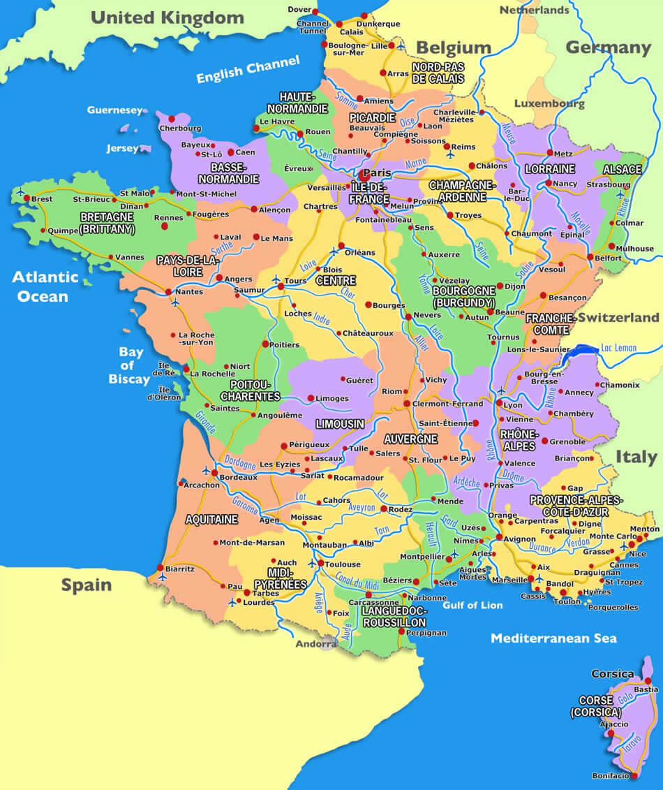
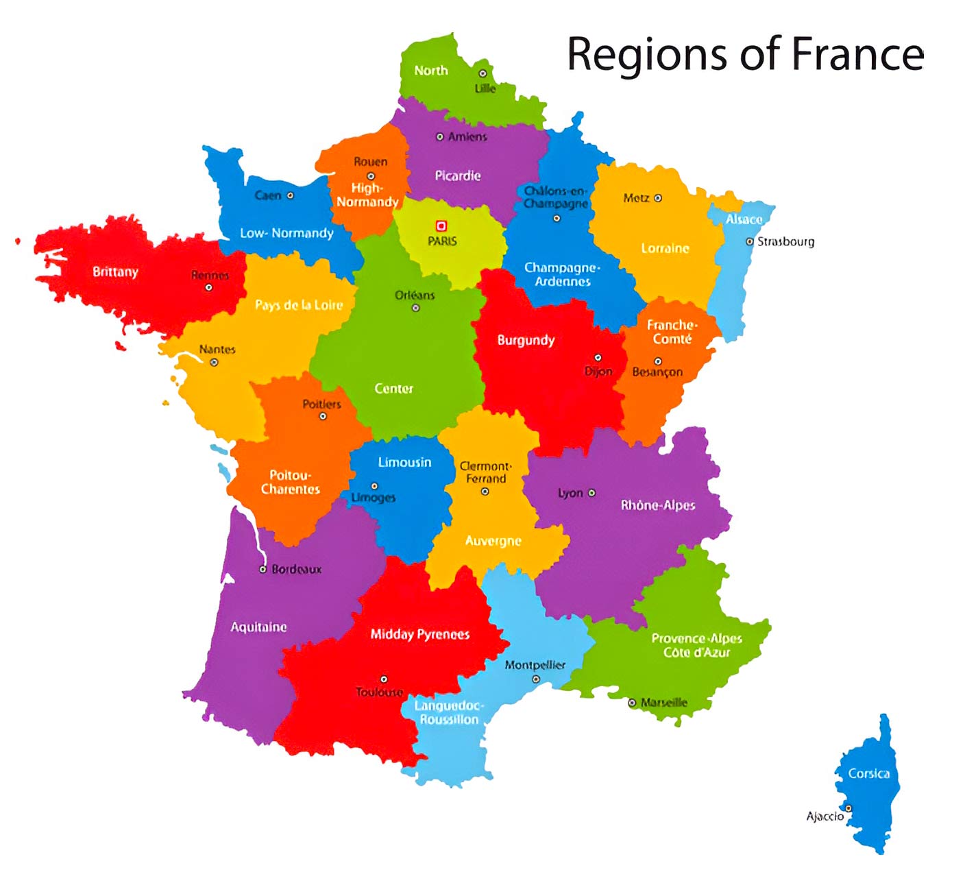
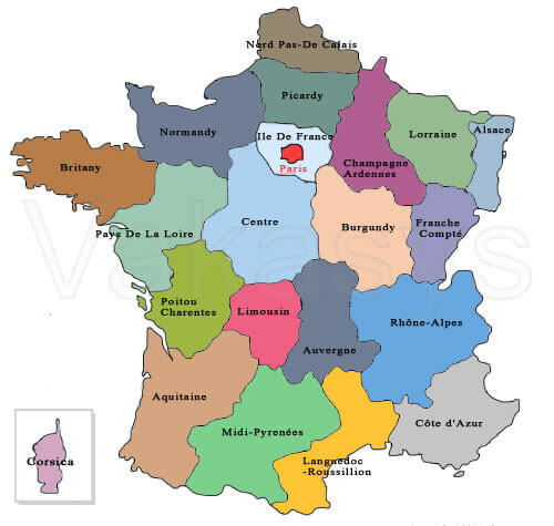
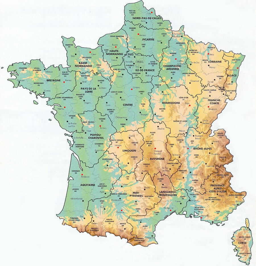
France Regions Map
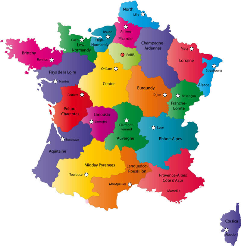
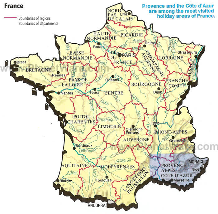
France Provinces Map
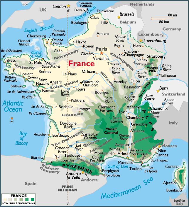
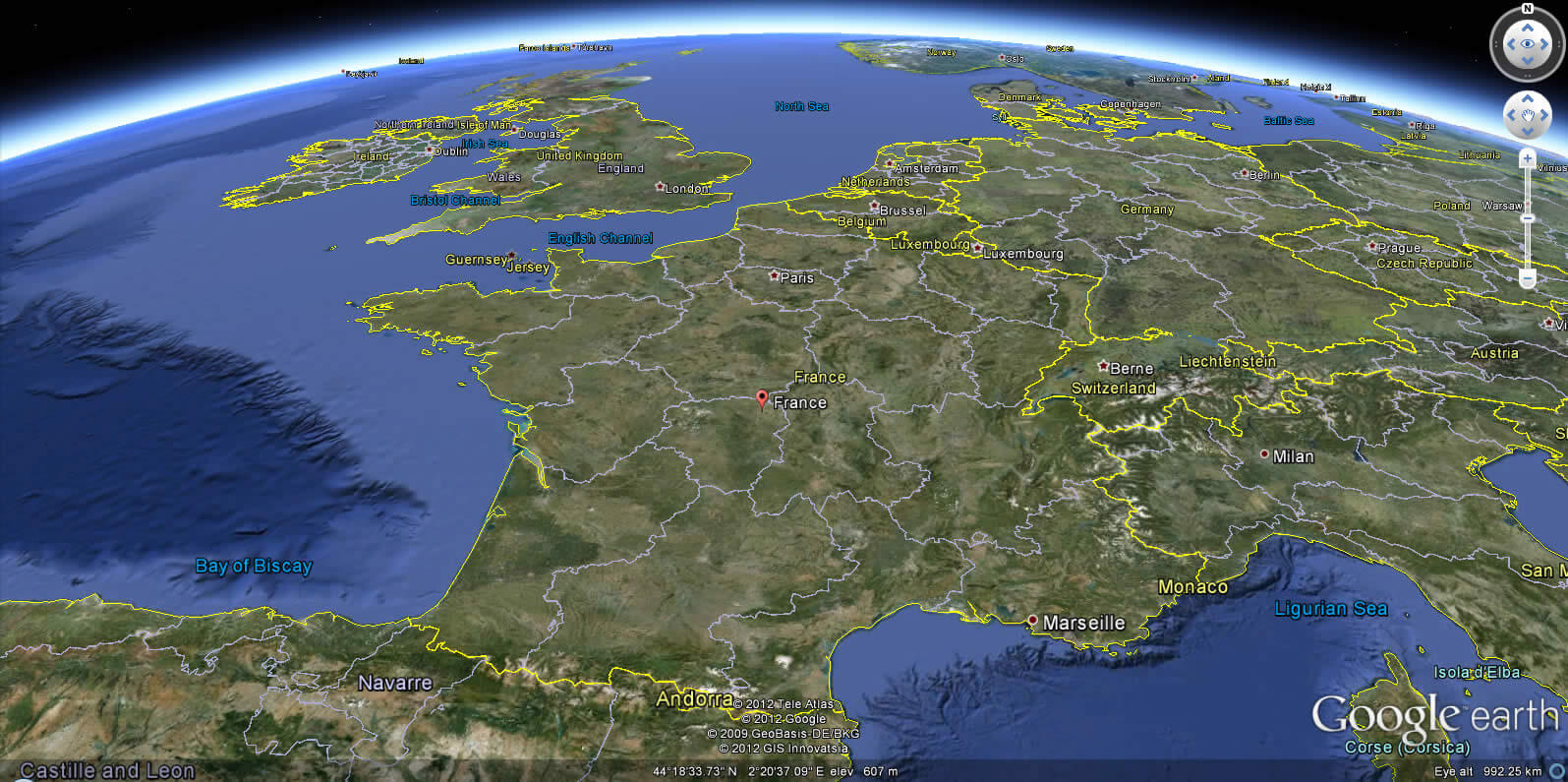
Satellite Map of France
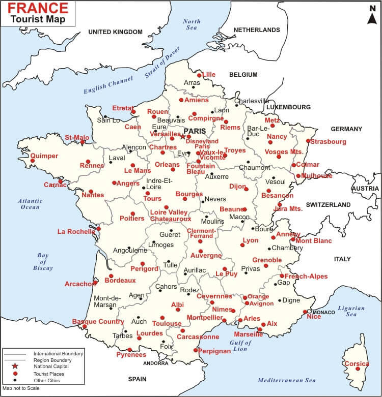
France Street Views, Maps Directions & Satellite Images