Tangerang Map
Navigate Tangerang Map, Tangerang city map, satellite images of Tangerang, Tangerang towns map, political map of Tangerang, driving directions and traffic maps.
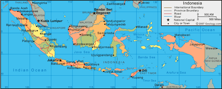
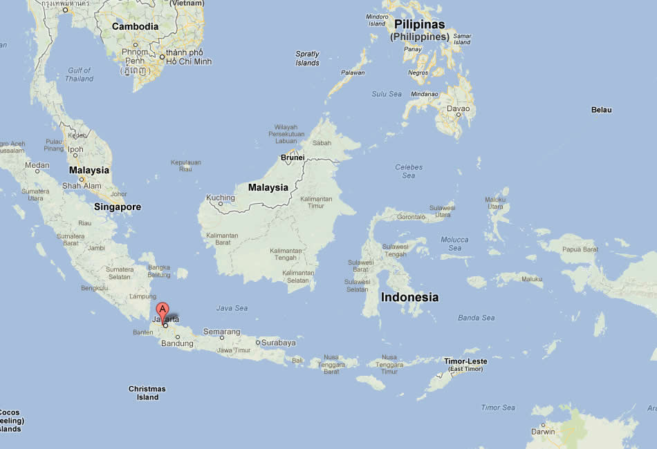
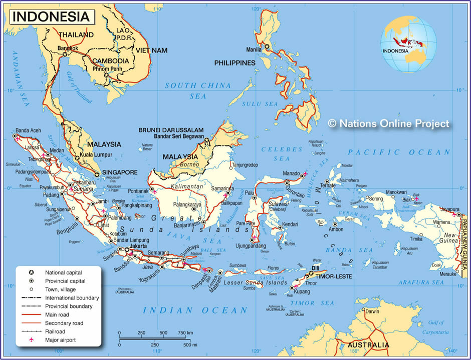
For more >> Indonesia Maps
For more info >> Indonesia
Tangerang Map FQA
Can I download a high-resolution map of Tangerang ?
Yes. Download high-resolution political and physical maps of Tangerang for personal or educational use. Redistribution is subject to the terms of our license.Tangerang Map - Political, Physical, Touristic City Maps and Satellite Images
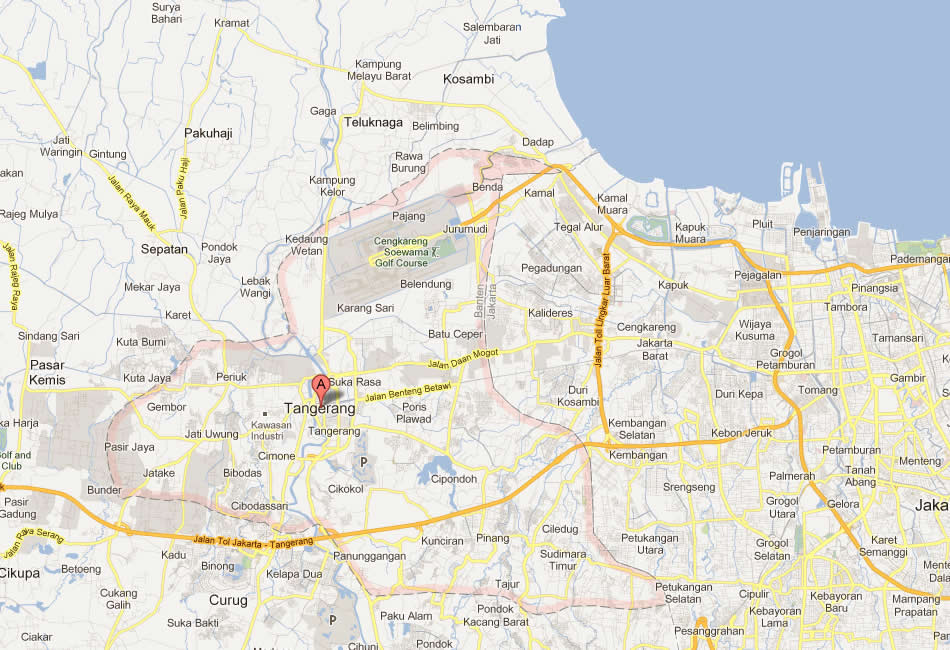
MAP OF TANGERANG

A Collection of Tangerang Maps
MAP OF TANGERANG
INDONESIE TANGERANG PLAN
MAP OF TANGERANG INDONESIA
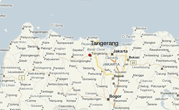
TANGERANG MAP
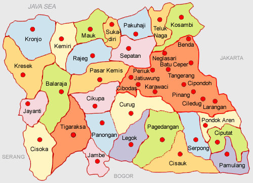
TANGERANG DISTRICTS MAP
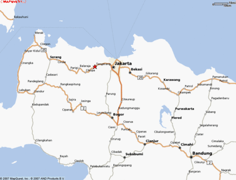
TANGERANG INDONESIA MAP
TANGERANG MAP
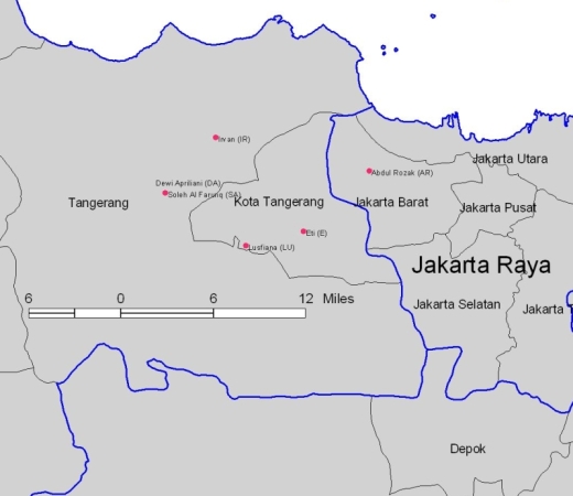
TANGERANG JAKARTA MAP
Embracing Bali: A Tapestry of Culture, Nature, and Timeless Beauty
Please subscribe on "World Guide" channnel on Youtube at youtube.com/c/WorldGuide
Bali for Explorers: The Ultimate Top 10 Adventure Guide
- Head of Performance Marketing
- Head of SEO
- Linkedin Profile: linkedin.com/in/arifcagrici
See Also
Tangerang Google Map, Street Views, Maps Directions, Satellite Images
WorldMap1.com offers a collection of Tangerang map, google map, Tangerang atlas, political, physical, satellite view, country infos, cities map and more map of Tangerang.