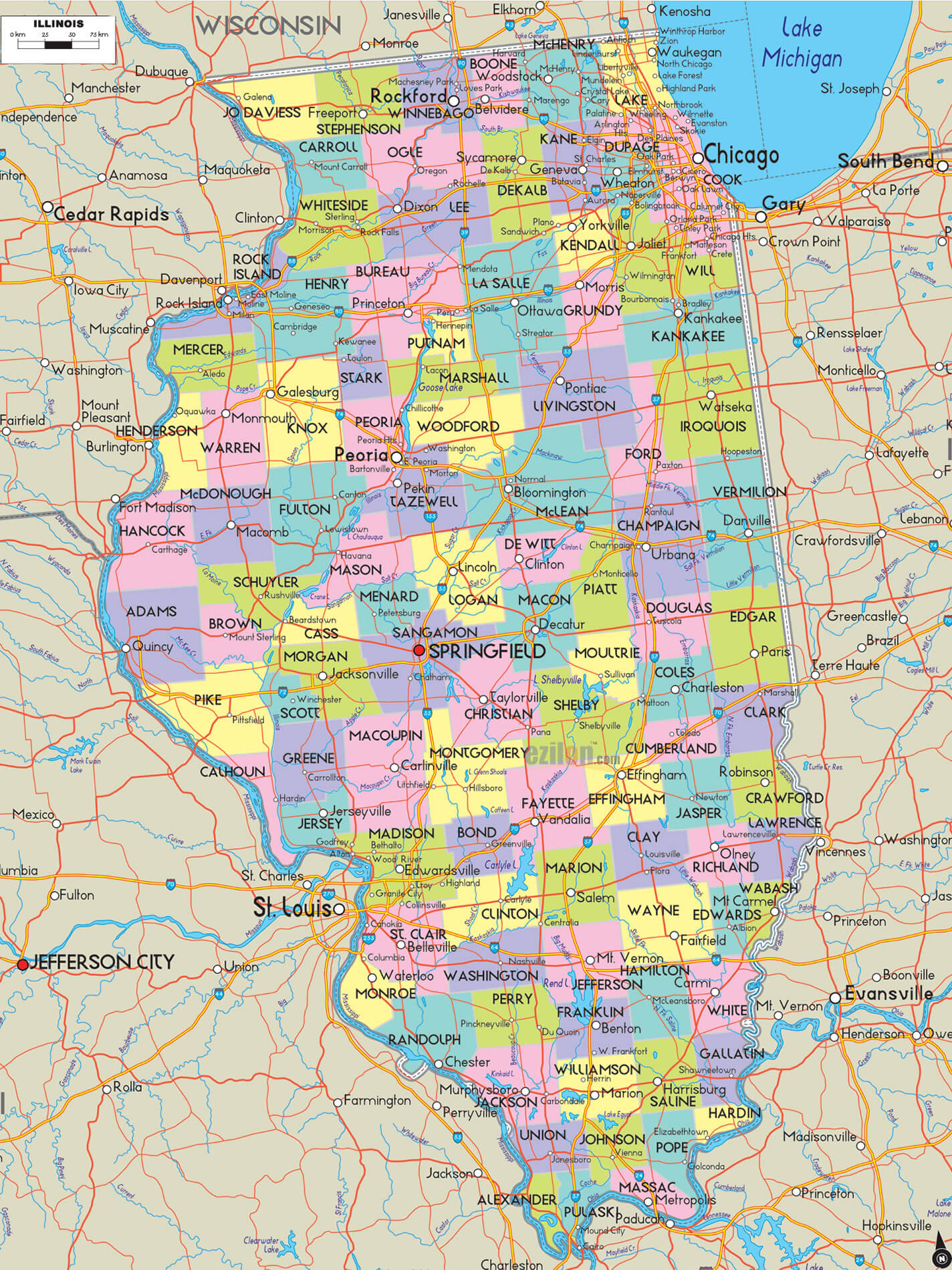
Explore Illinois and Where is Illinois on the Map
Illinois is a state located in the Midwestern United States. It is one of the few states that borders both Lake Michigan and Lake Erie. Illinois is also known as The Prairie State.
Illinois Map FQA
How many cities are in Illinois ?
Illinois has 102 counties. The largest by population are: Cook County; DuPage County; Lake County; Will County; Kane County; McHenry County; Winnebago County; Madison County; St. Clair County; Champaign County.What are the major geographical features of Illinois ?
Illinois has fertile plains and prairies, with the Mississippi River to the west and Lake Michigan to the northeast. The state also has rolling hills in the south and river valleys such as the Illinois River.MAP OF ILLINOIS
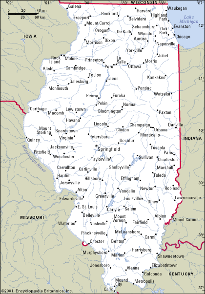
ILLINOIS COUNTY MAP

Philadelphia is the state capital of Pennsylvania and its largest city. With 1.6 million people, it is the fifth-most populous city in the United States. Philadelphia also serves as an important center for education, commerce, industry and culture.
Pennsylvania is located in the northeastern region of the United States. It is bordered by Delaware, Maryland, West Virginia and Ohio.
Pennsylvania is a state located in the Northeast region of the United States. It has an area of 55,644 square miles (142,365 km2) with 12 million people living there as of 2015.
What are some facts about Illinois
- Area: 57,915 sq mi (149,997 km2)
- Population: 12,812,508 (2020)
- Population Density: 232/sq mi (89.4/km2)
- GDP (nominal):
- GDP per capita:
- Religions:
Protestantism: 43%
Catholicism: 28%
No religion: 22%
Judaism: 2%
Buddhism: 2%
Hinduism: 2%
Islam: 1%
Other: 1% - Largest Cities:
Chicago Map
Aurora Map
Rockford Map
Joliet Map
Naperville Map
Springfield Map
Peoria Map
Elgin Map
Waukegan Map
Cicero Map
For all Illinois Cities Map
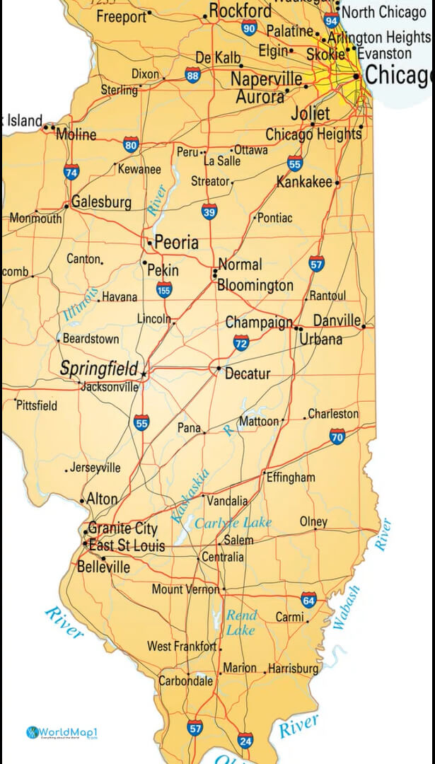
Capital Map of Springfield Illinois
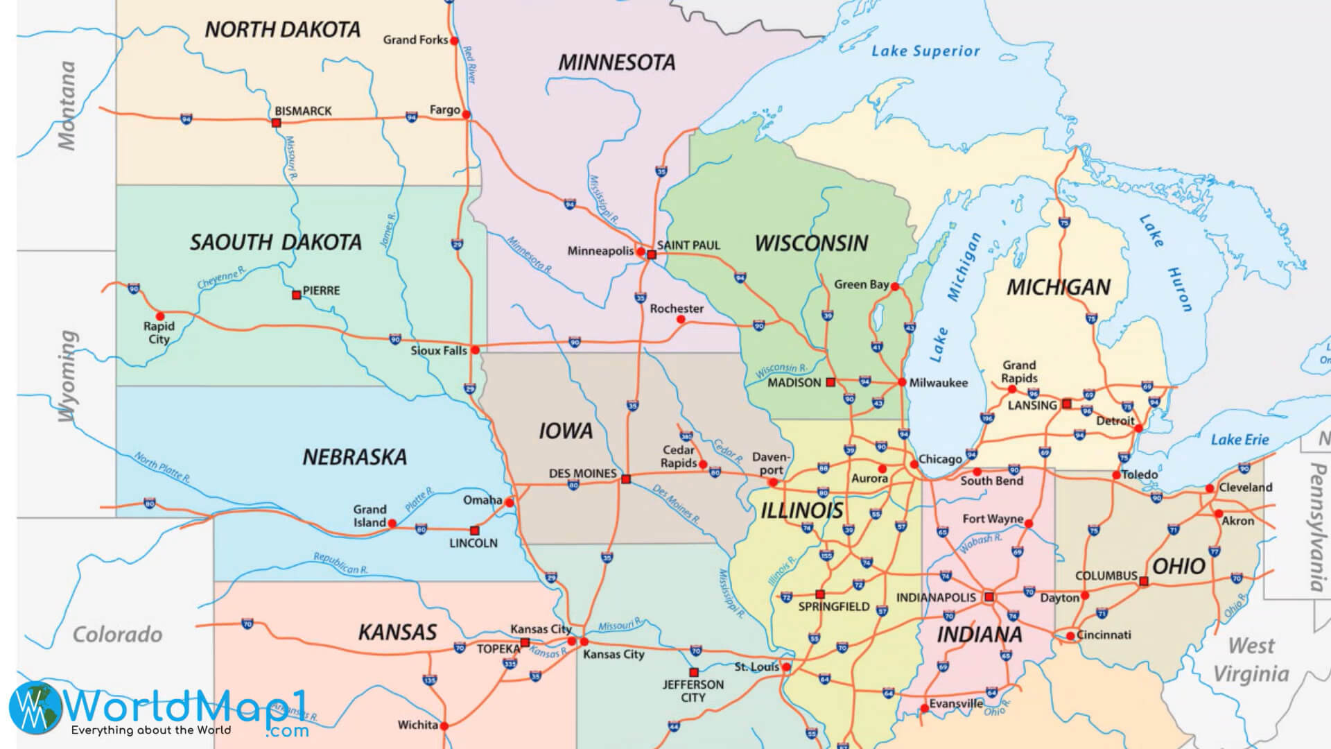
East Northern US States Map with Illinois
Illinois Largest Cities and Counties Border Map
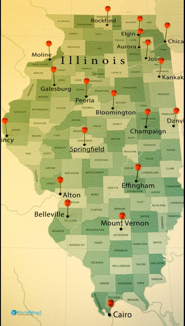
Map of Illinois USA
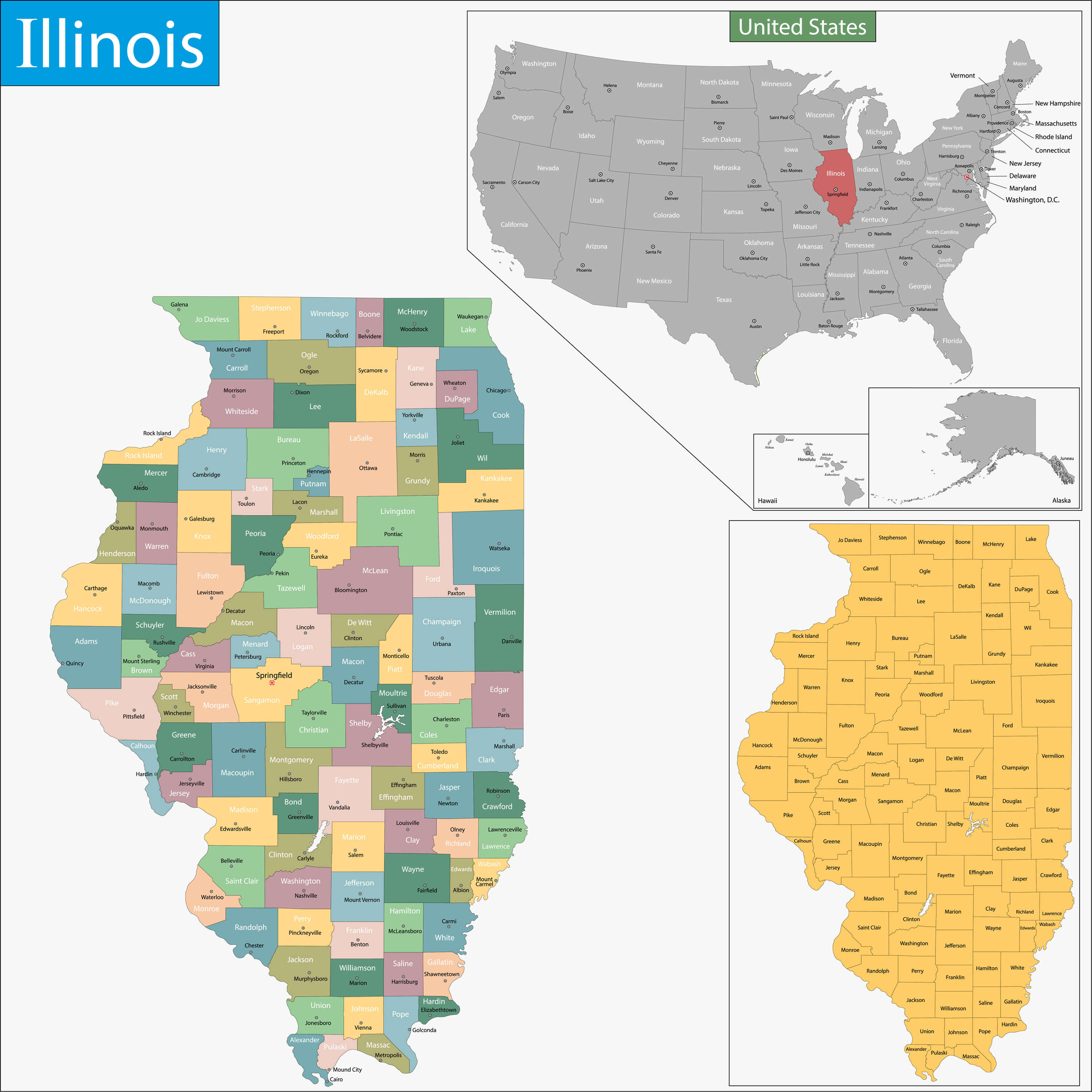
Illinois Map
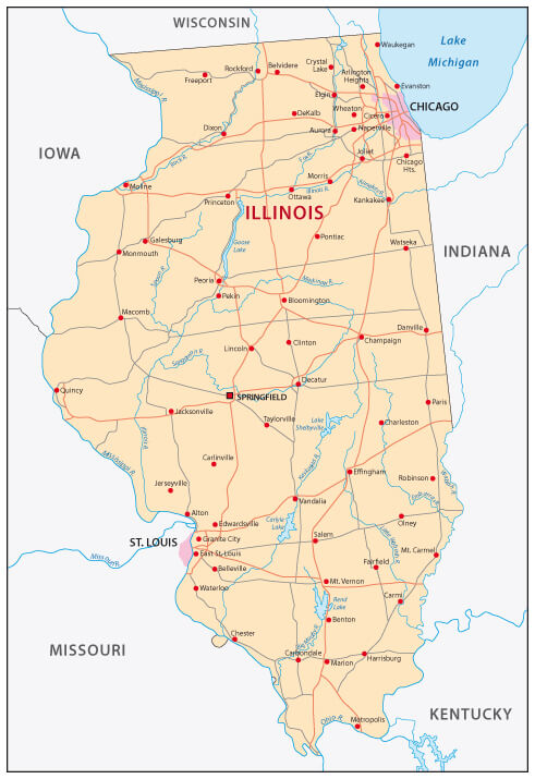
Please view more Illinois Cities Aerial Views, Map and Photos
High Detailed Illinois Map Illinois Free Printable Map Where is Located Illinois in the US and Cities Map of Illinois Illinois State Maps USABrief information about utah, US
Brief information about Illinois, US
Illinois is a state located in the Midwestern region of the United States. It covers an area of 57,915 square miles (149,998 square kilometers) and has a population of approximately 12.7 million people as of 2020. The state is known for its major cities, diverse landscapes, and rich history.- Area: 57,915 square miles (149,998 square kilometers)
- Population (2020): 12.7 million
- Largest cities: Chicago (third-largest city in the US), Aurora, Rockford, Joliet, Naperville
- Median age: 38.4 years
- Median household income: $71,796
- Major industries: Manufacturing, healthcare, finance, agriculture, tourism
- State symbols: State bird - northern cardinal, State tree - white oak, State flower - violet
- Illinois was first settled by Native American tribes such as the Illinois and Miami.
- The region was claimed by France in the 1600s and was later ceded to Britain in the Treaty of Paris of 1763.
- Illinois became a state in 1818 and played an important role in the Civil War.
- Chicago became a major transportation hub and industrial center in the late 1800s and early 1900s.
- White: 61.4%
- African American: 17.2%
- Hispanic or Latino: 17.2%
- Asian: 5.8%
- Other: 1.8%
- Illinois's GDP was $898 billion in 2020
- Major industries include manufacturing (including automobiles, machinery, and processed foods), healthcare, finance, agriculture (including corn, soybeans, and cattle), and tourism
- Top employers in the state include Walmart, the University of Illinois, and the US government
- O'Hare International Airport in Chicago is one of the busiest airports in the world and a major center for transportation and logistics.
A Collection of Illinois Maps and Illinois Satellite Images
MAP OF ILLINOIS

COUNTRY MAP STATE OF ILLINOIS
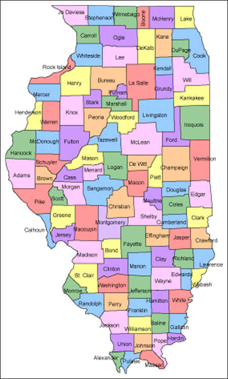
COUNTY MAP OF ILLINOIS
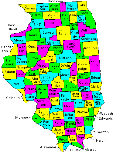
ILLINOIS COUNTY MAP

ILLINOIS COUNTY MAP

ILLINOIS MAP
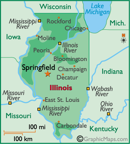
ILLINOIS MAP
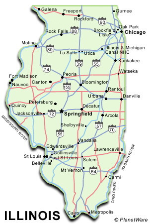
ILLINOIS PHYSICAL MAP
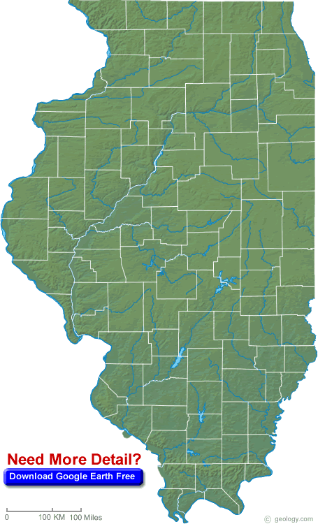
ILLINOIS AREA MAP
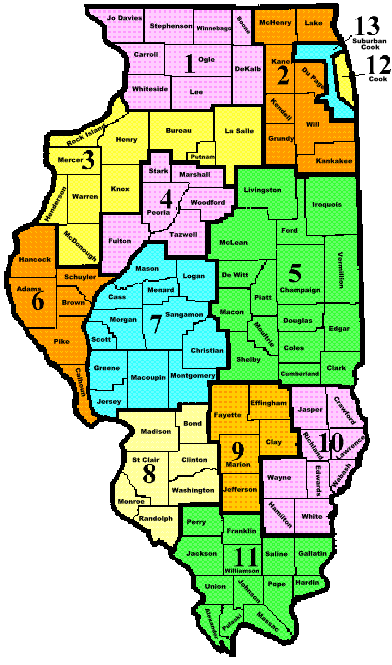
ILLINOIS COUNTIES MAP
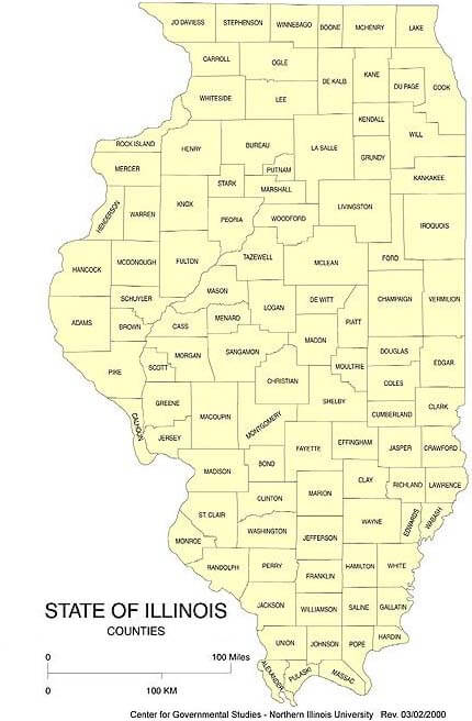
ILLINOIS COUNTY MAP
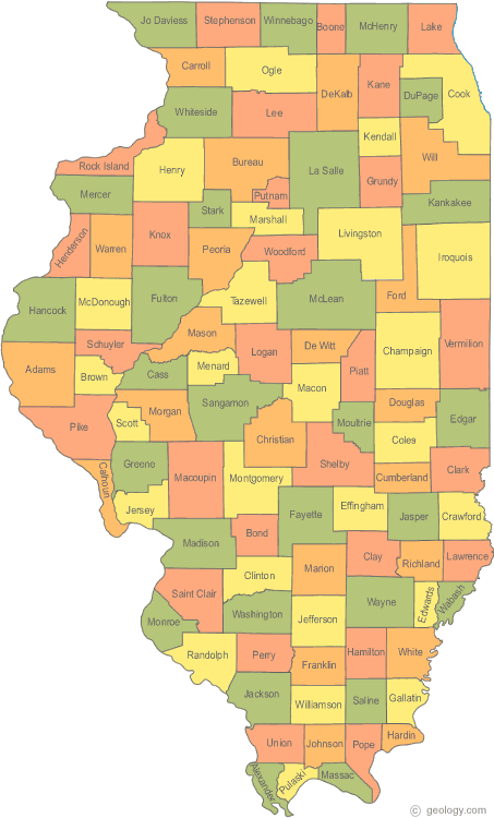
ILLINOIS COUNTY MAPS
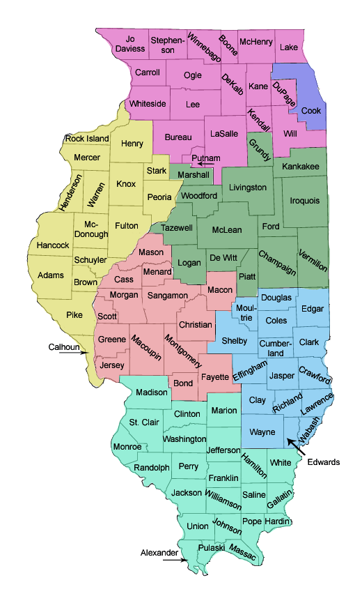
ILLINOIS MAP
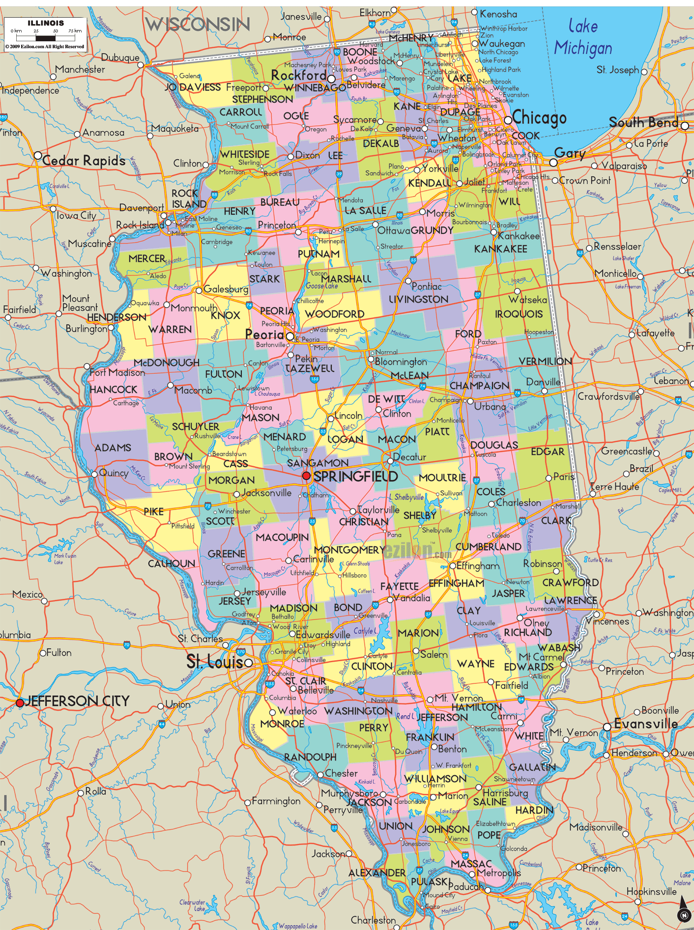
ILLINOIS MAP

ILLINOIS MAP CHICAGO
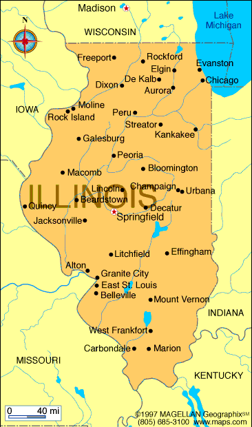
ILLINOIS MAP STATE BOUNDRY
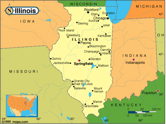
ILLINOIS MAP USA
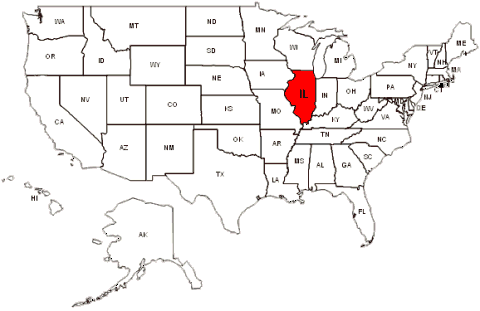
ILLINOIS MAPS
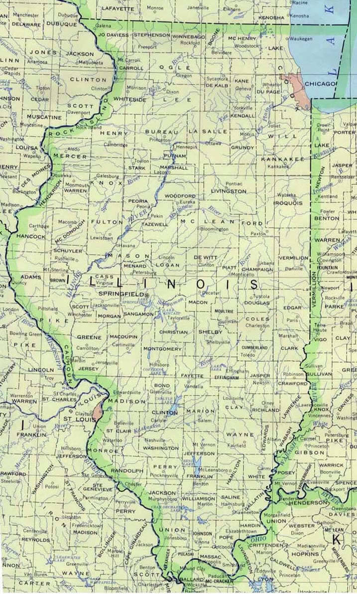
ILLINOIS PHYSICAL MAP
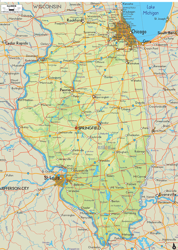
ILLINOIS POLITICAL MAP
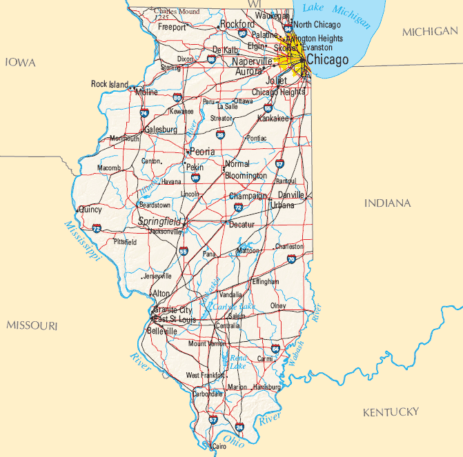
ILLINOIS ROAD MAP
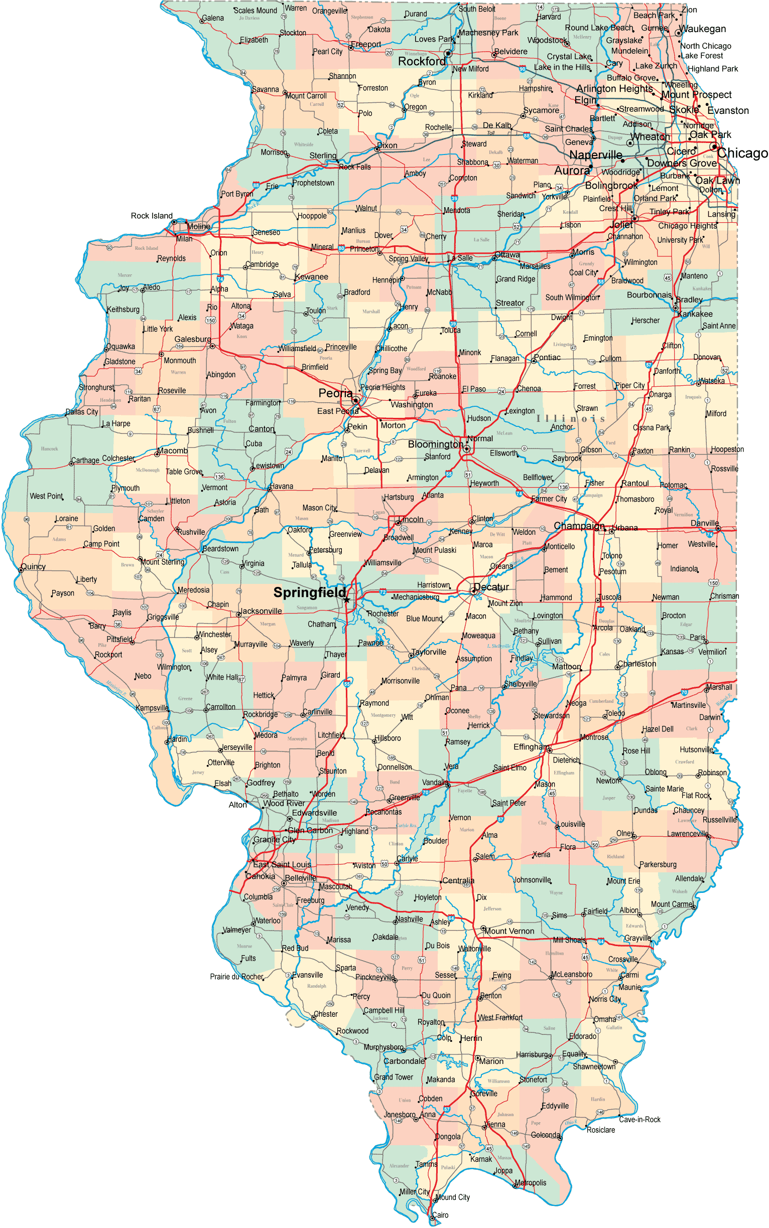
MAP OF ILLINOIS CITIES
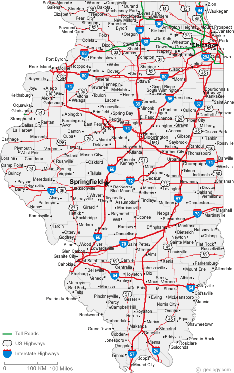
MAP OF ILLINOIS COUNTIES
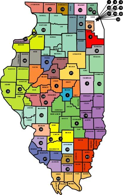
MAP OF ILLINOIS COUNTY

MAPS OF ILLINOIS
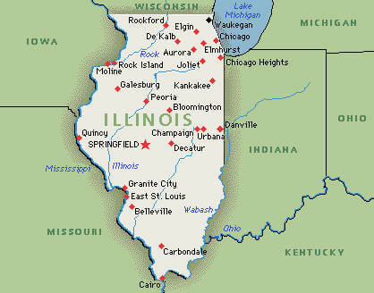
ROAD MAP OF ILLINOIS
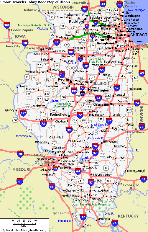
A collection of Illinois Maps
- Head of Performance Marketing
- Head of SEO
- Linkedin Profile: linkedin.com/in/arifcagrici


