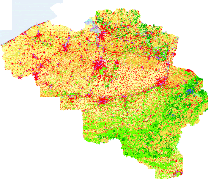
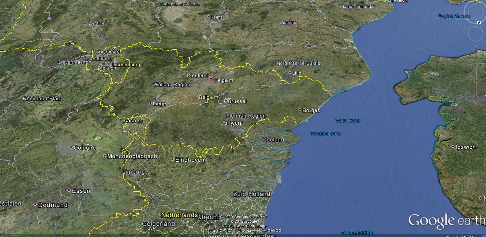
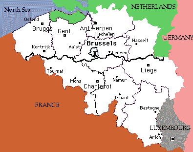
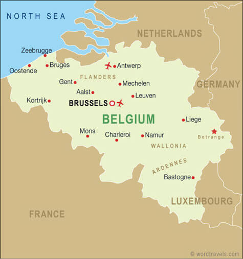
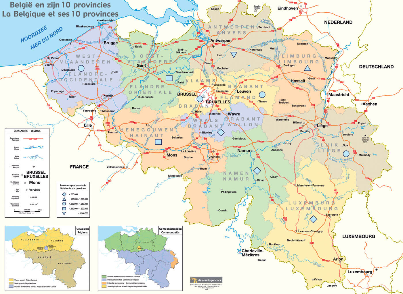
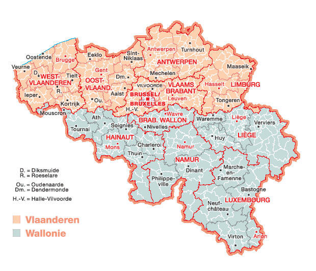
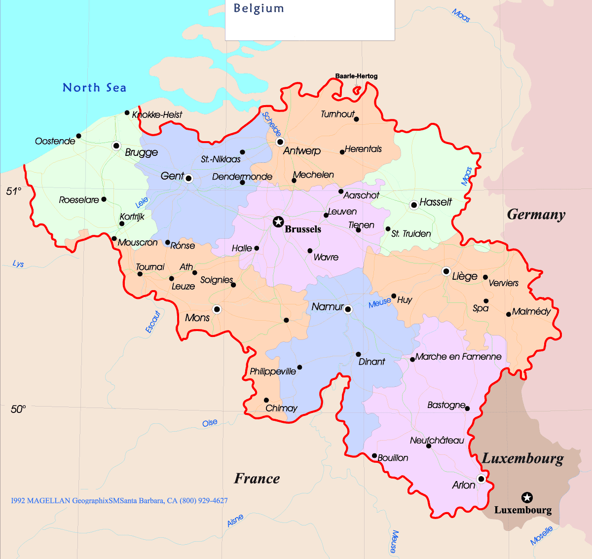
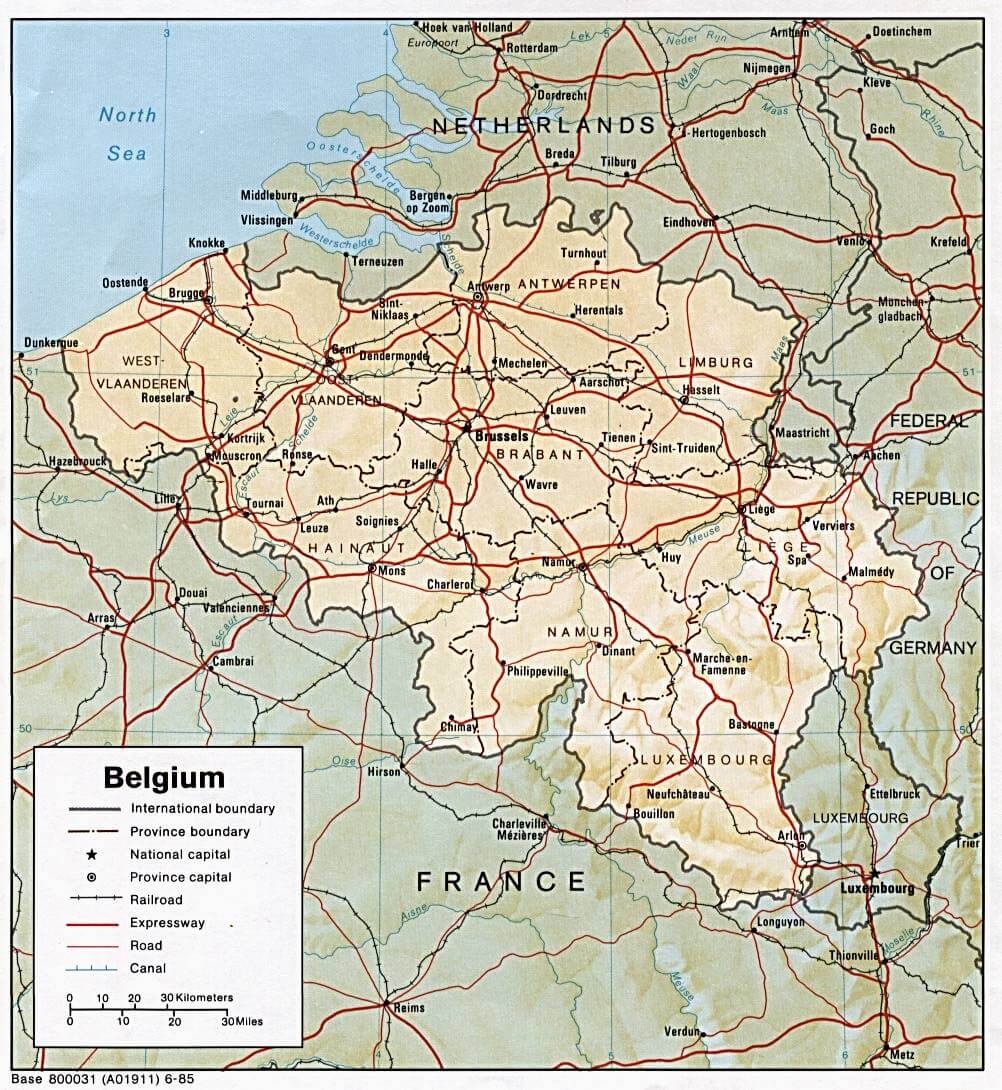
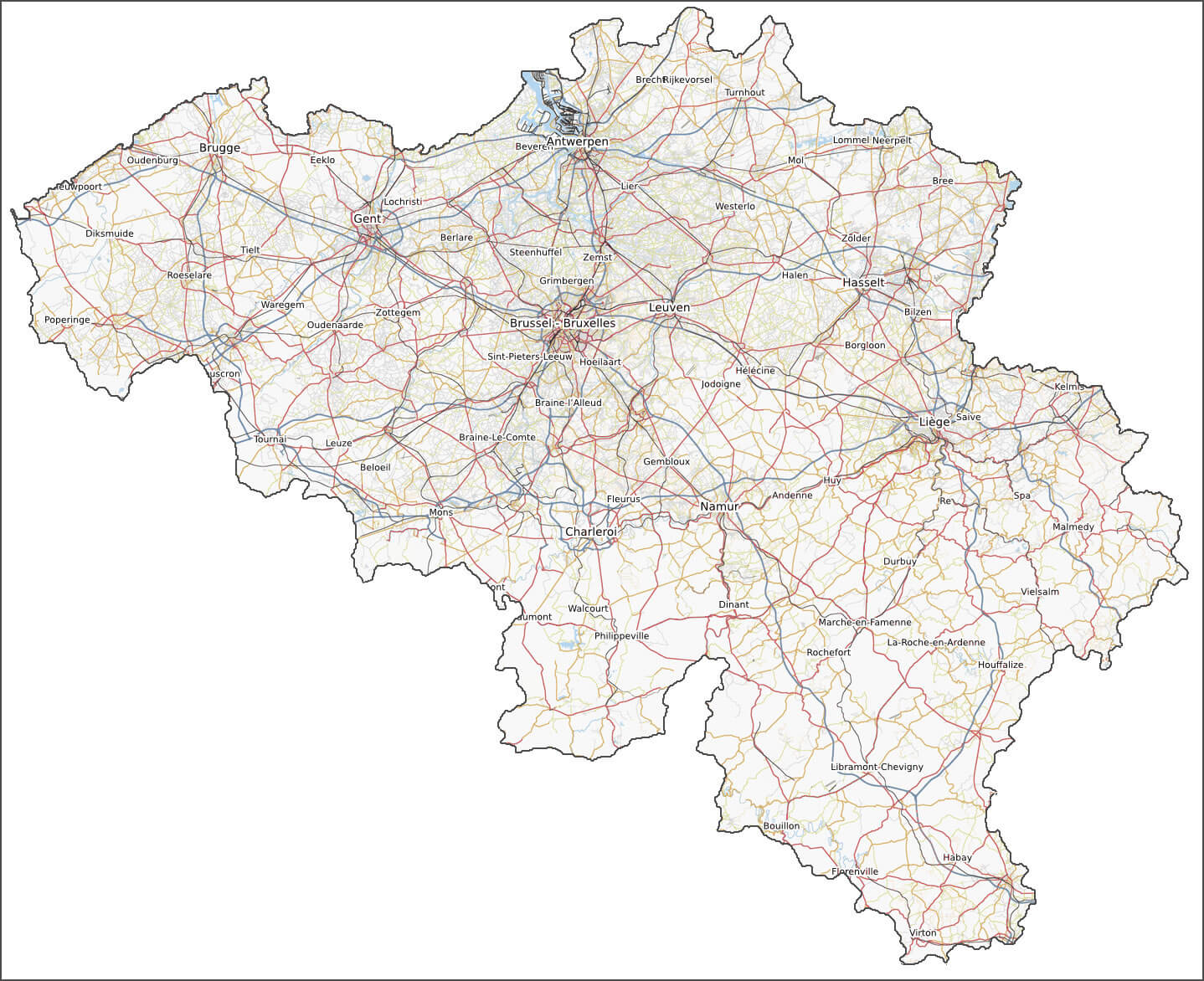
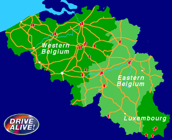
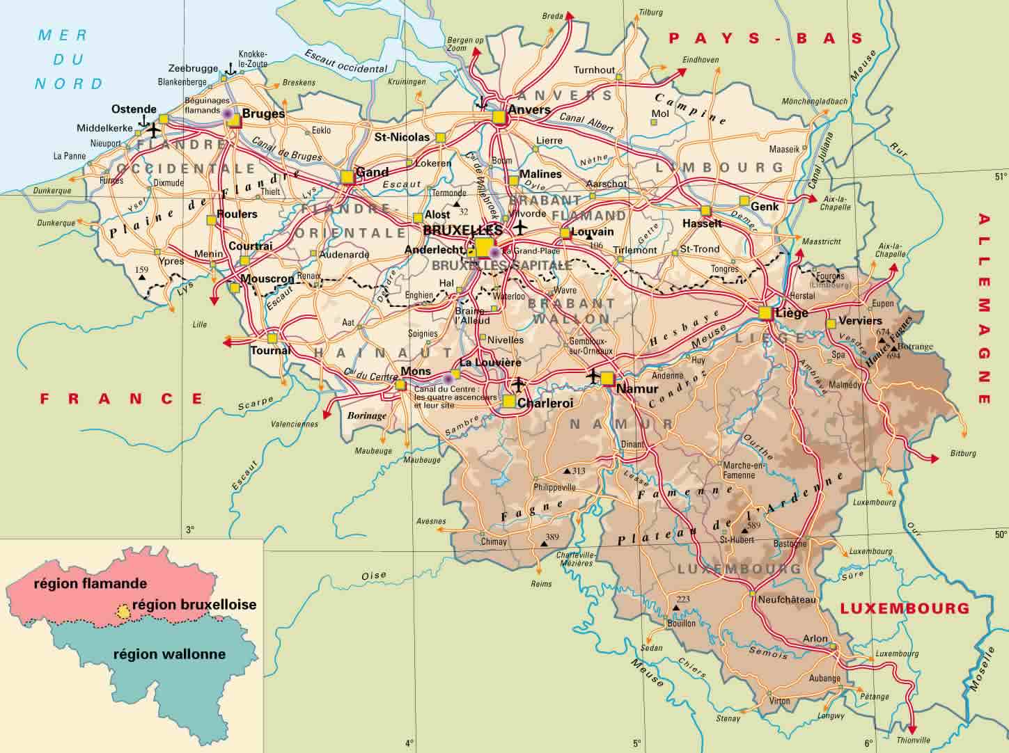
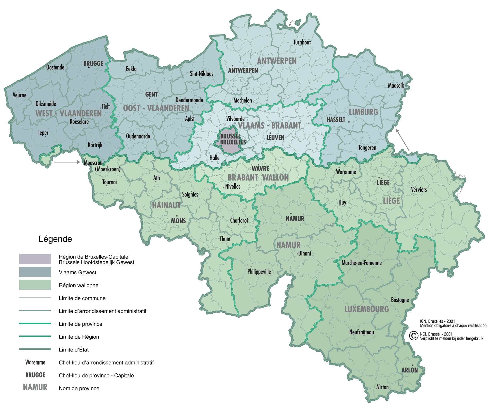
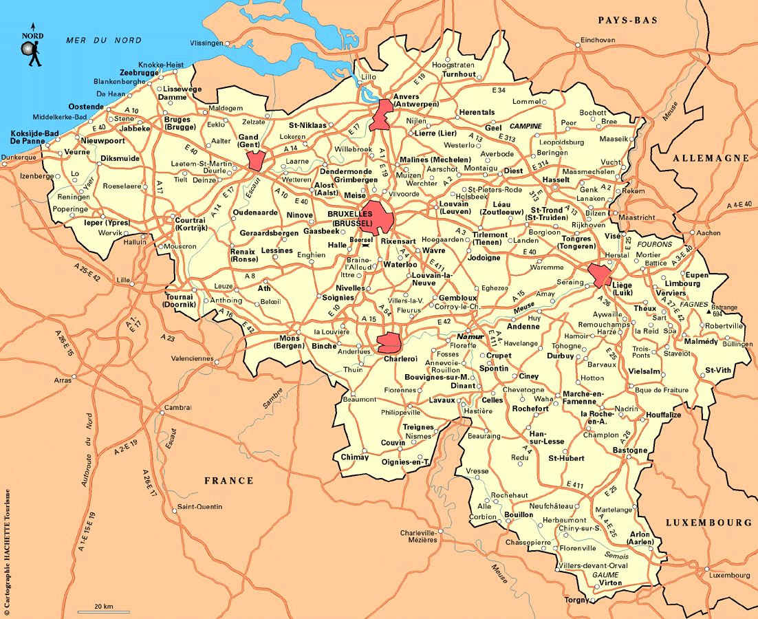
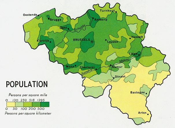
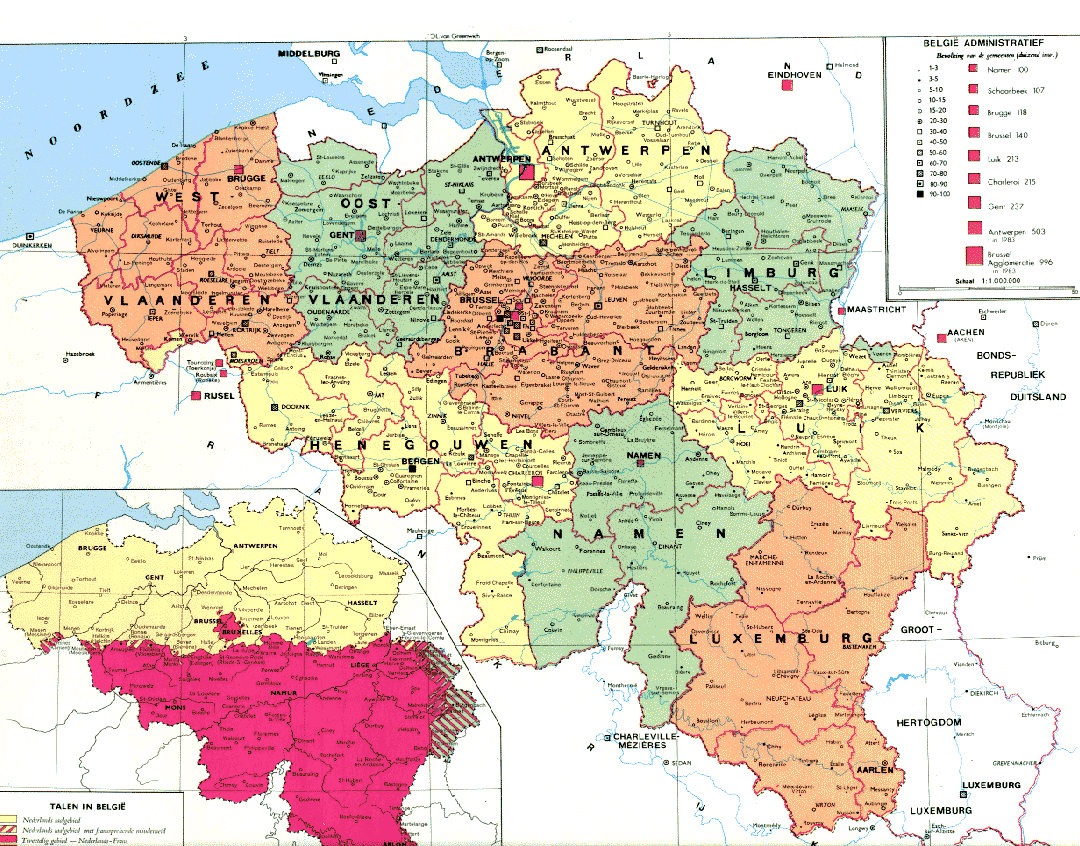
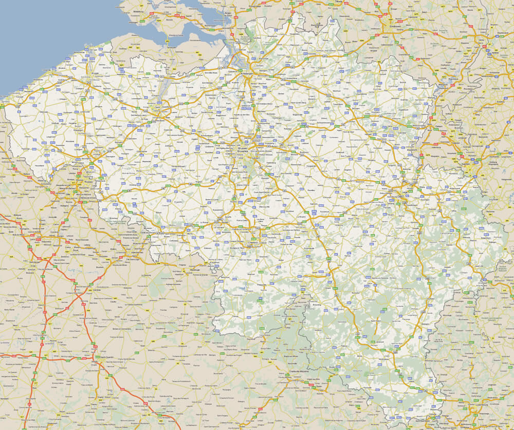
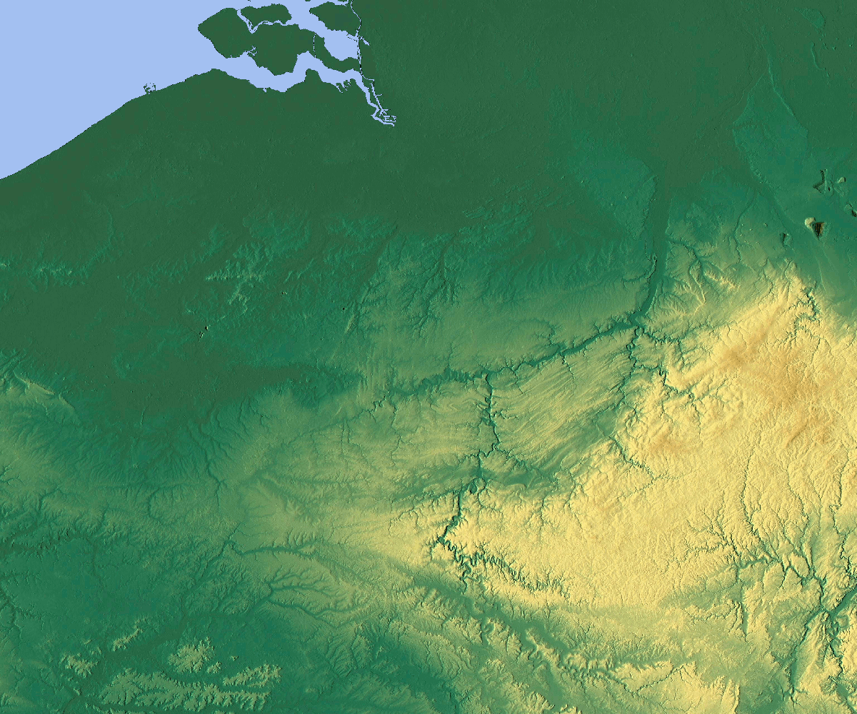
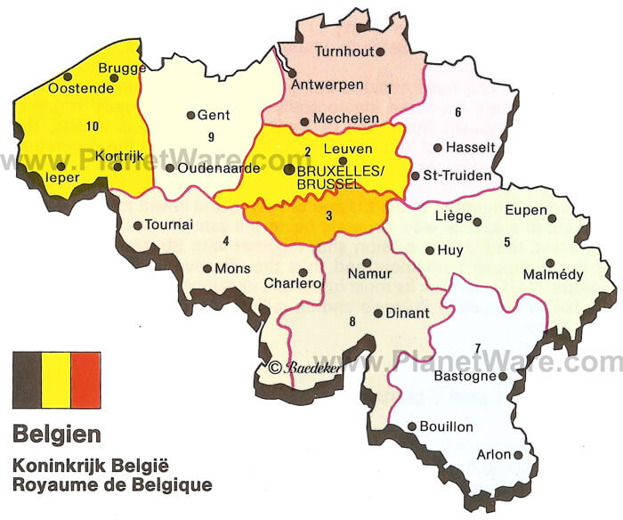
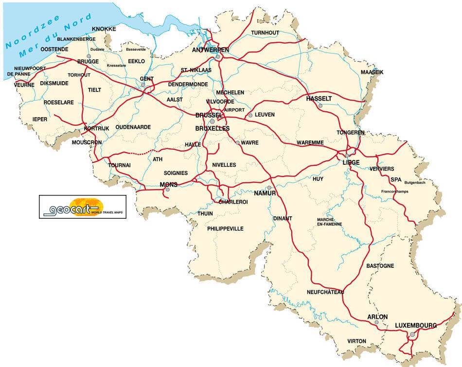
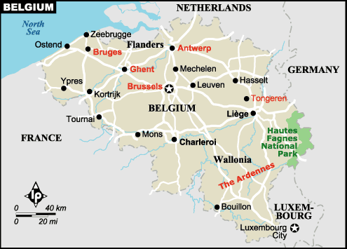
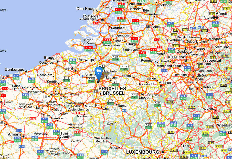
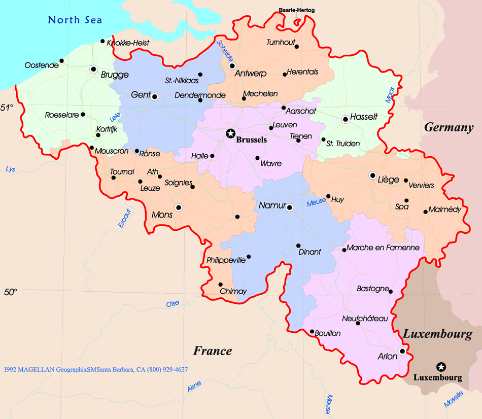
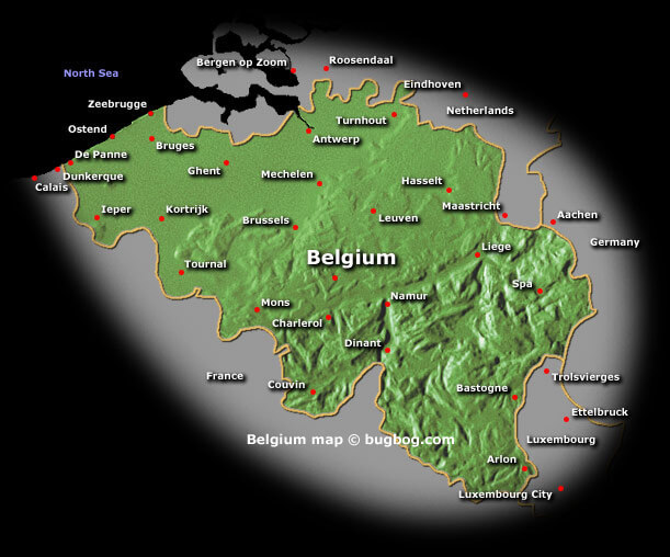
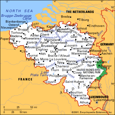
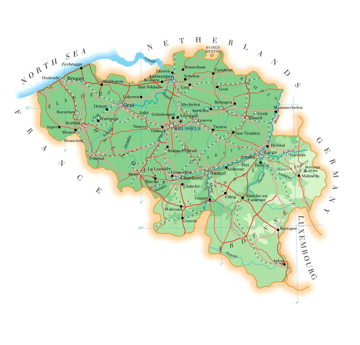
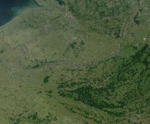
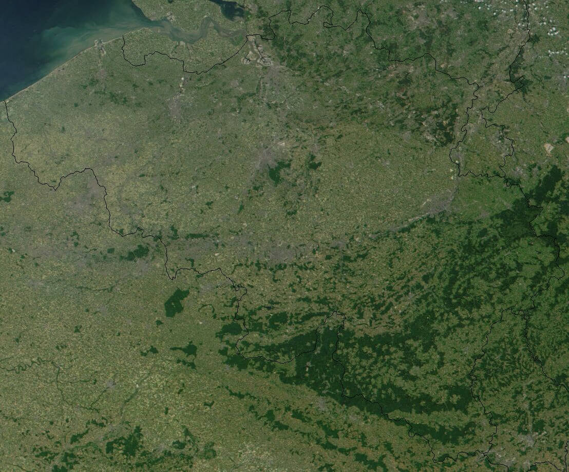
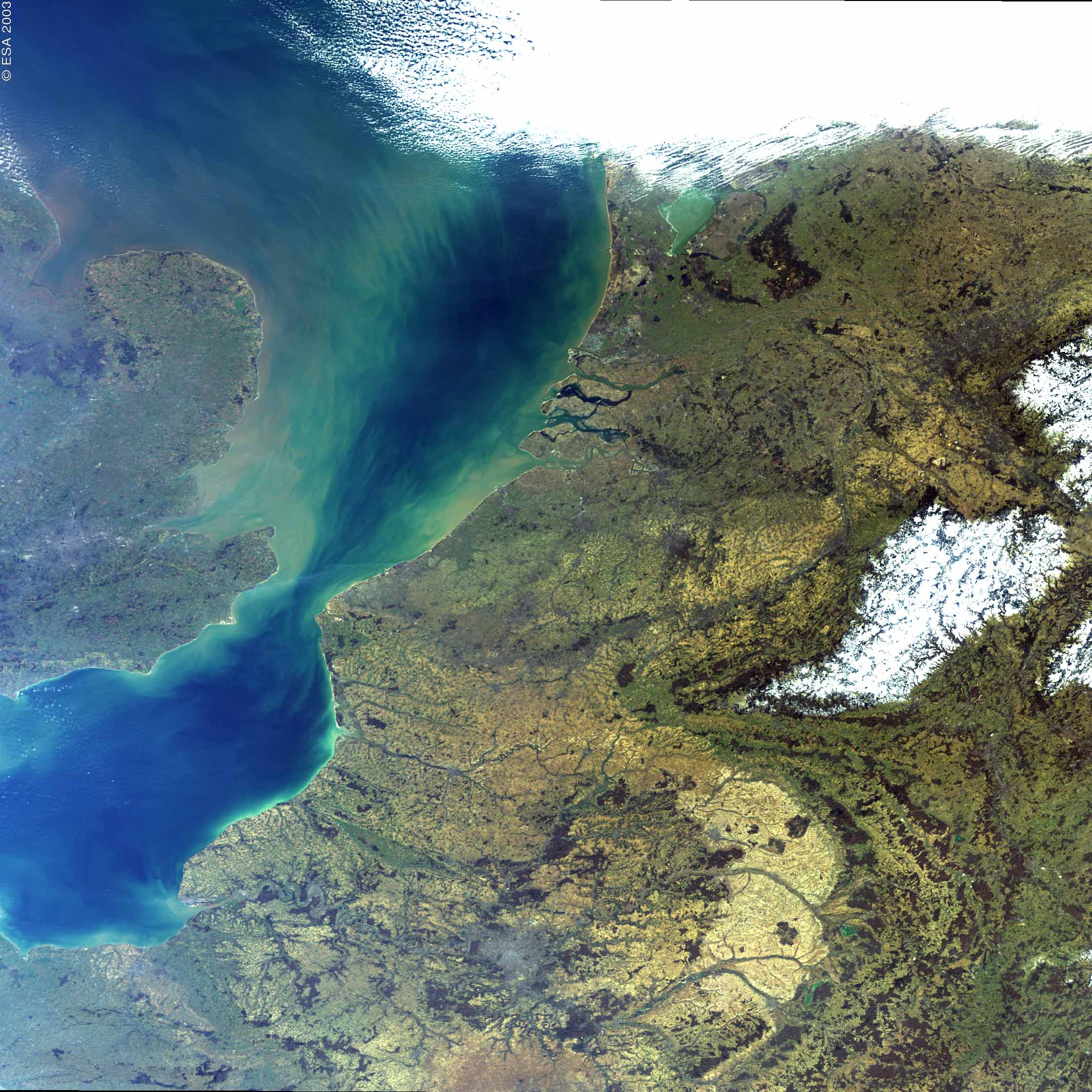
Navigate map of Belgium, Belgium country maps, satellite images of the Belgium, Belgium largest city maps, political, physical map of Belgium, driving directions and traffic maps.

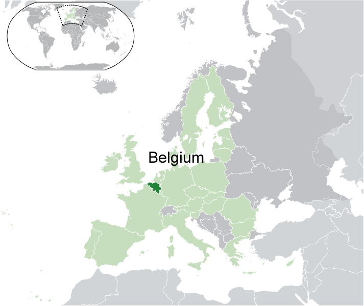
Map of Belgium
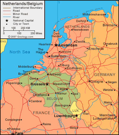
Navigate map of Belgium, Belgium country maps, satellite images of the Belgium, Belgium largest city maps, political, physical map of Belgium, driving directions and traffic maps.