North America Political Map
Explore our North America political maps, showing countries, international borders, capitals, major cities, states, provinces, and territories. Discover the political geography of Canada, the United States, Mexico, Central America, Greenland, and the Caribbean. These detailed maps highlight national boundaries, U.S. states, Canadian provinces, capitals, and political divisions for education, travel, research, and geographic reference.
North America political map
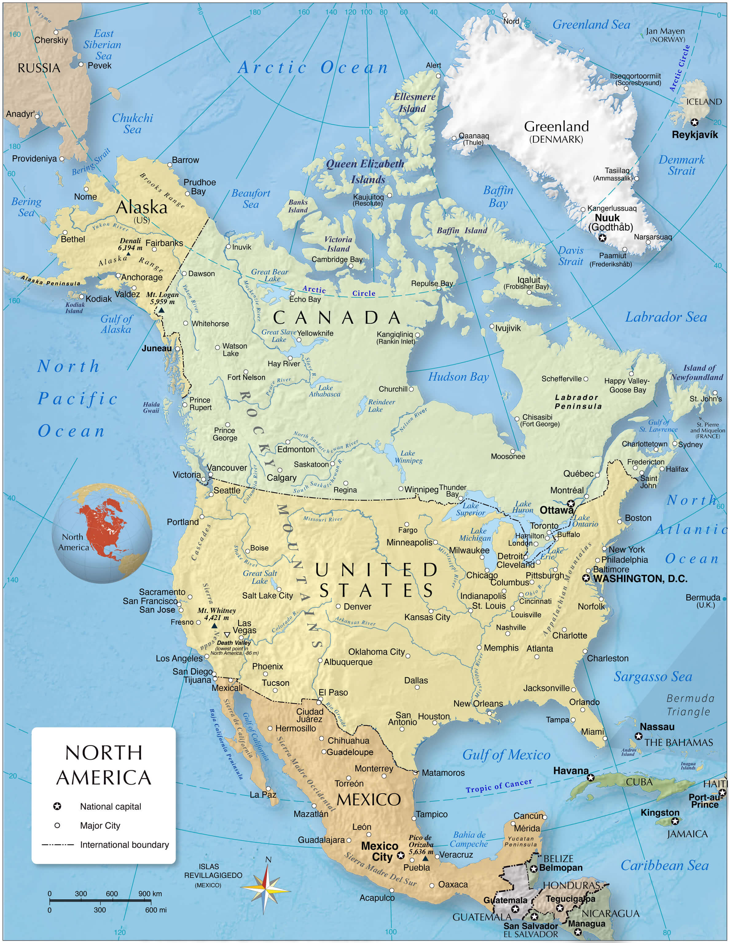
North America labeled political map
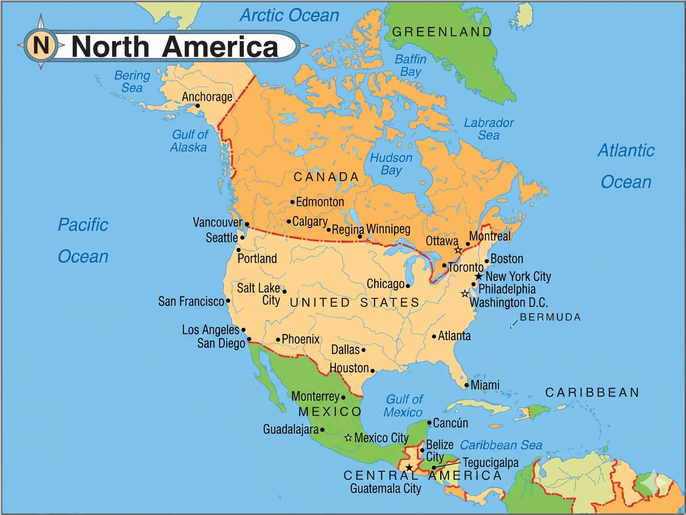
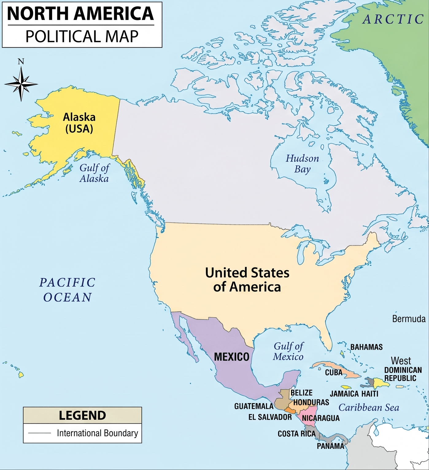
North America political map USA Canada Mexico
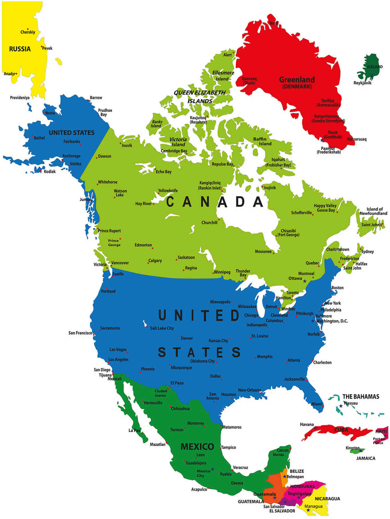
North America political map with countries and oceans
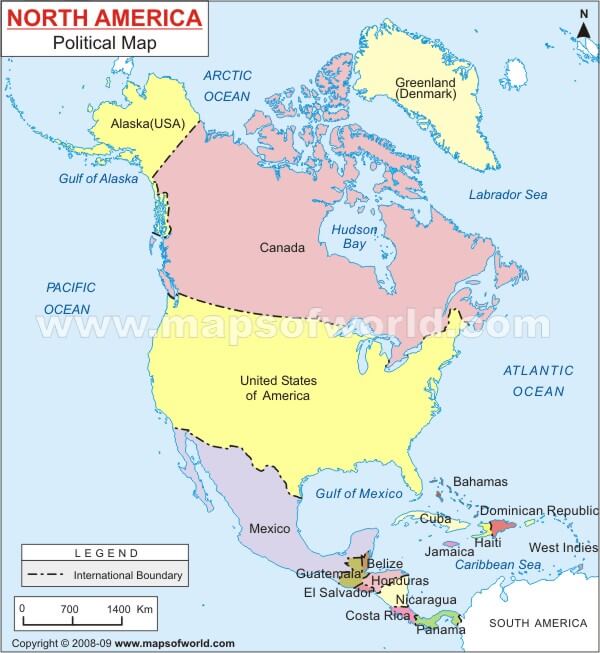
North America countries and national borders map
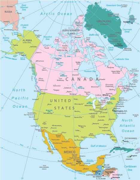
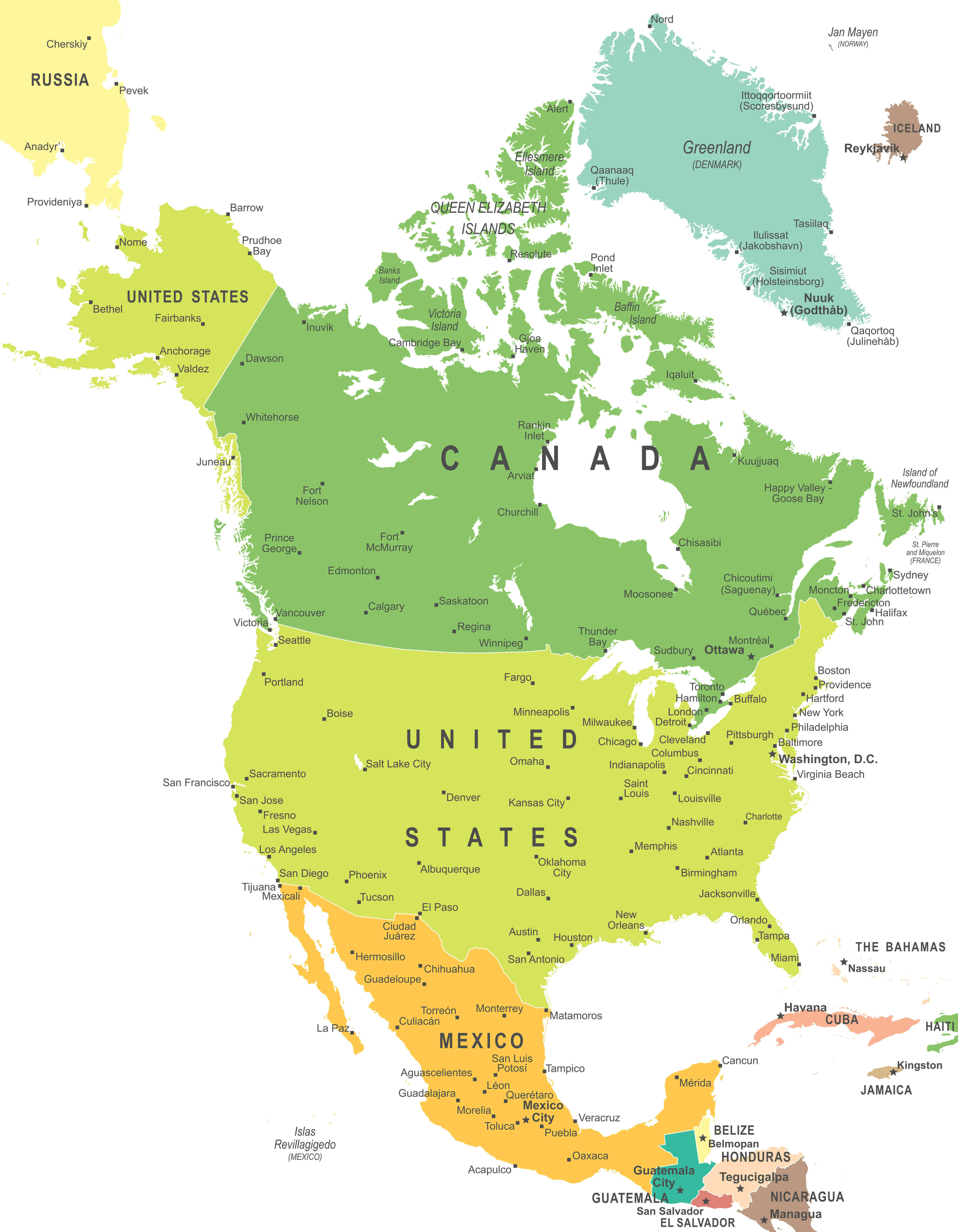
North America countries cities and capitals map
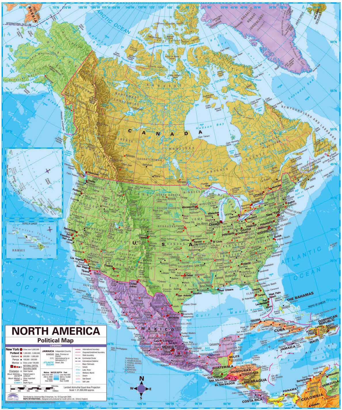
North America countries political map
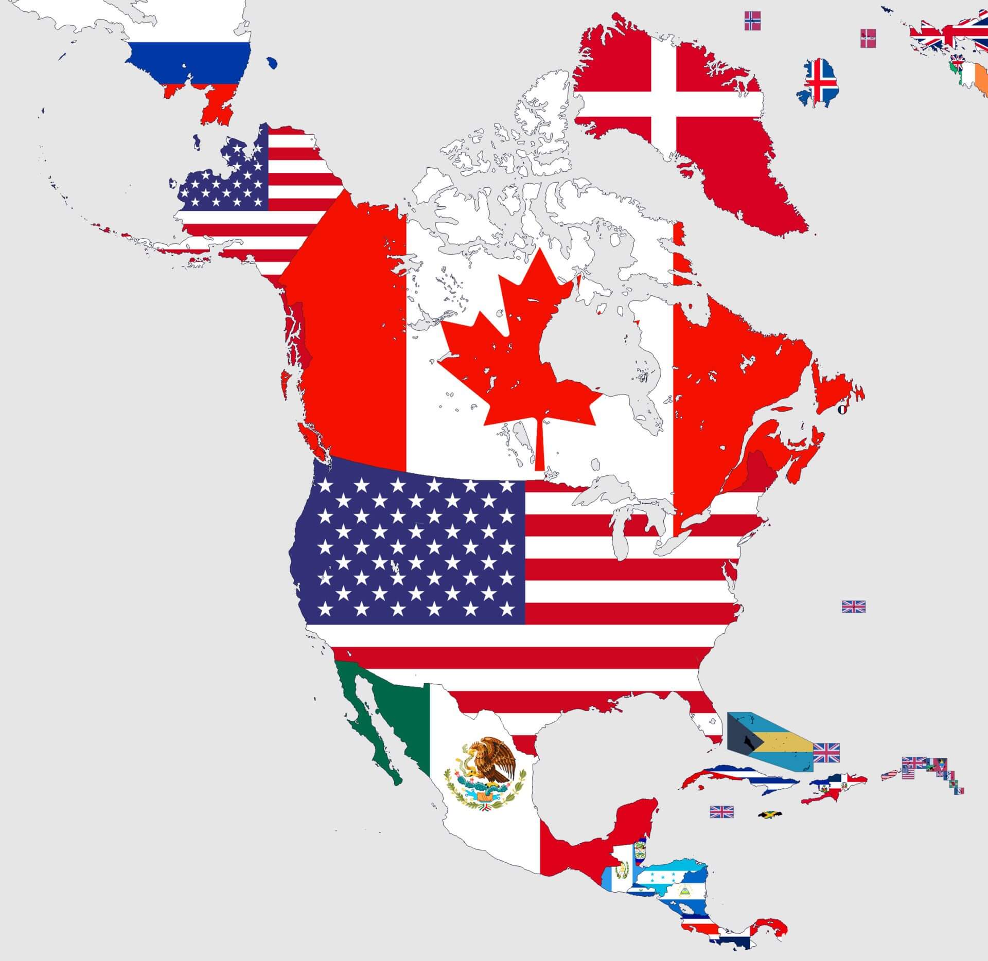
North America country flags map
North America political map on World Globe
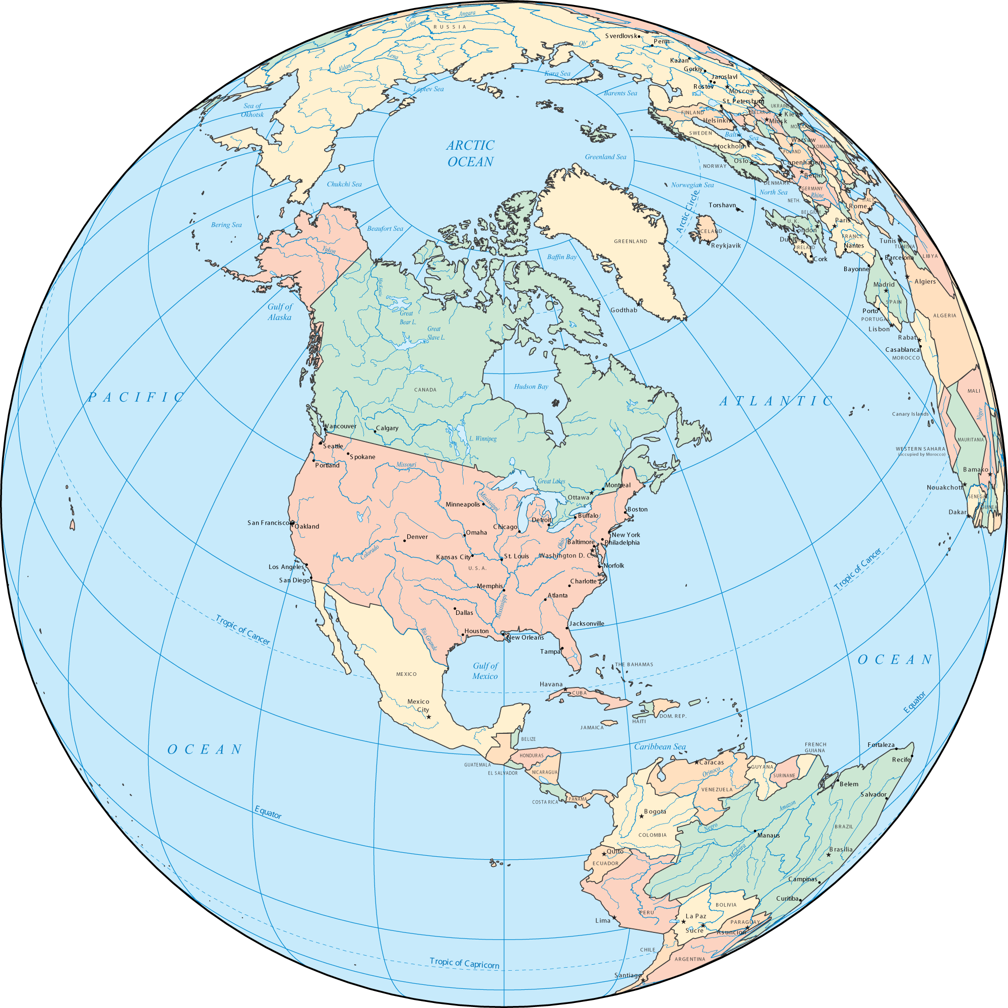
North America political map with capitals
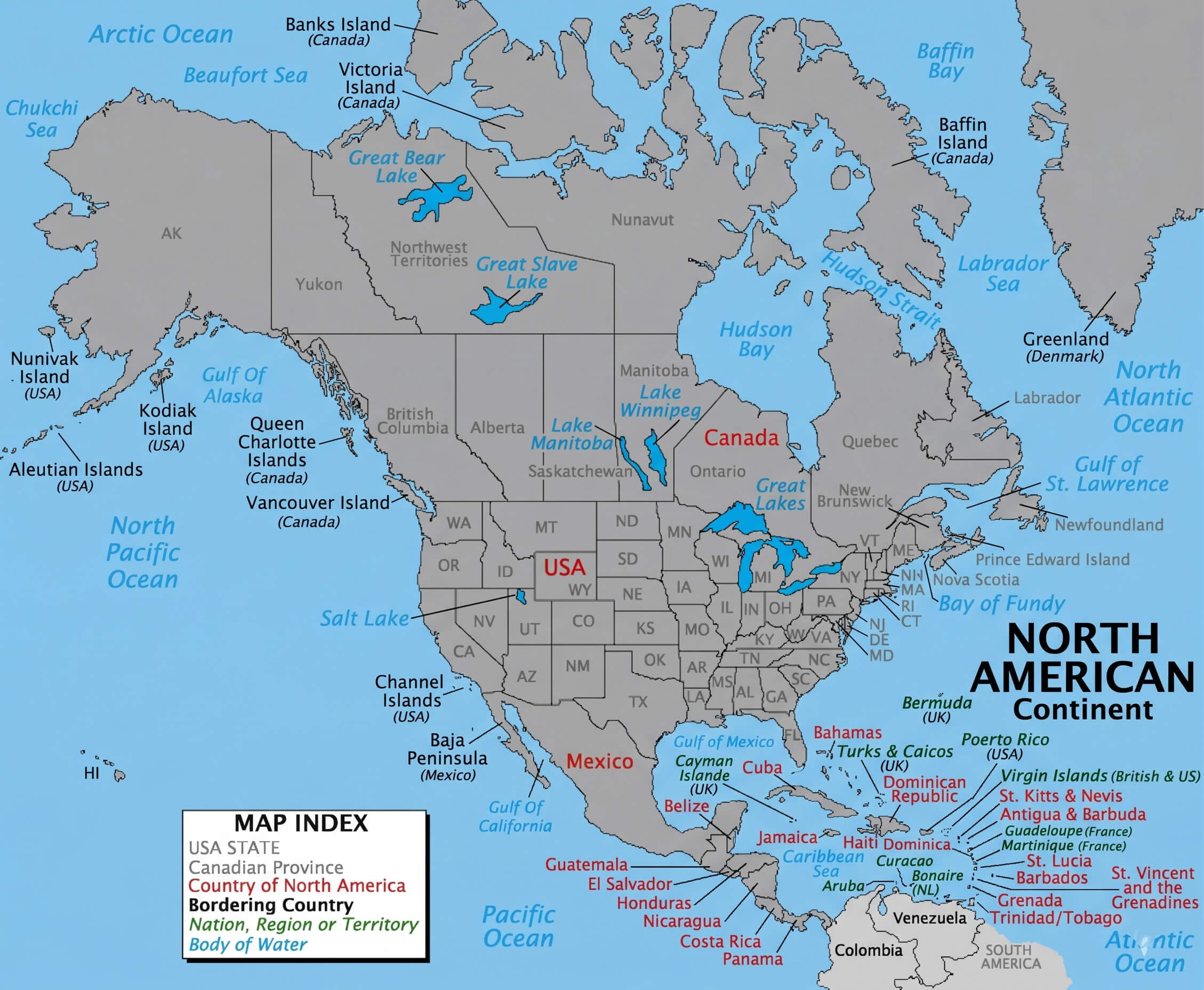
North America political map with country borders
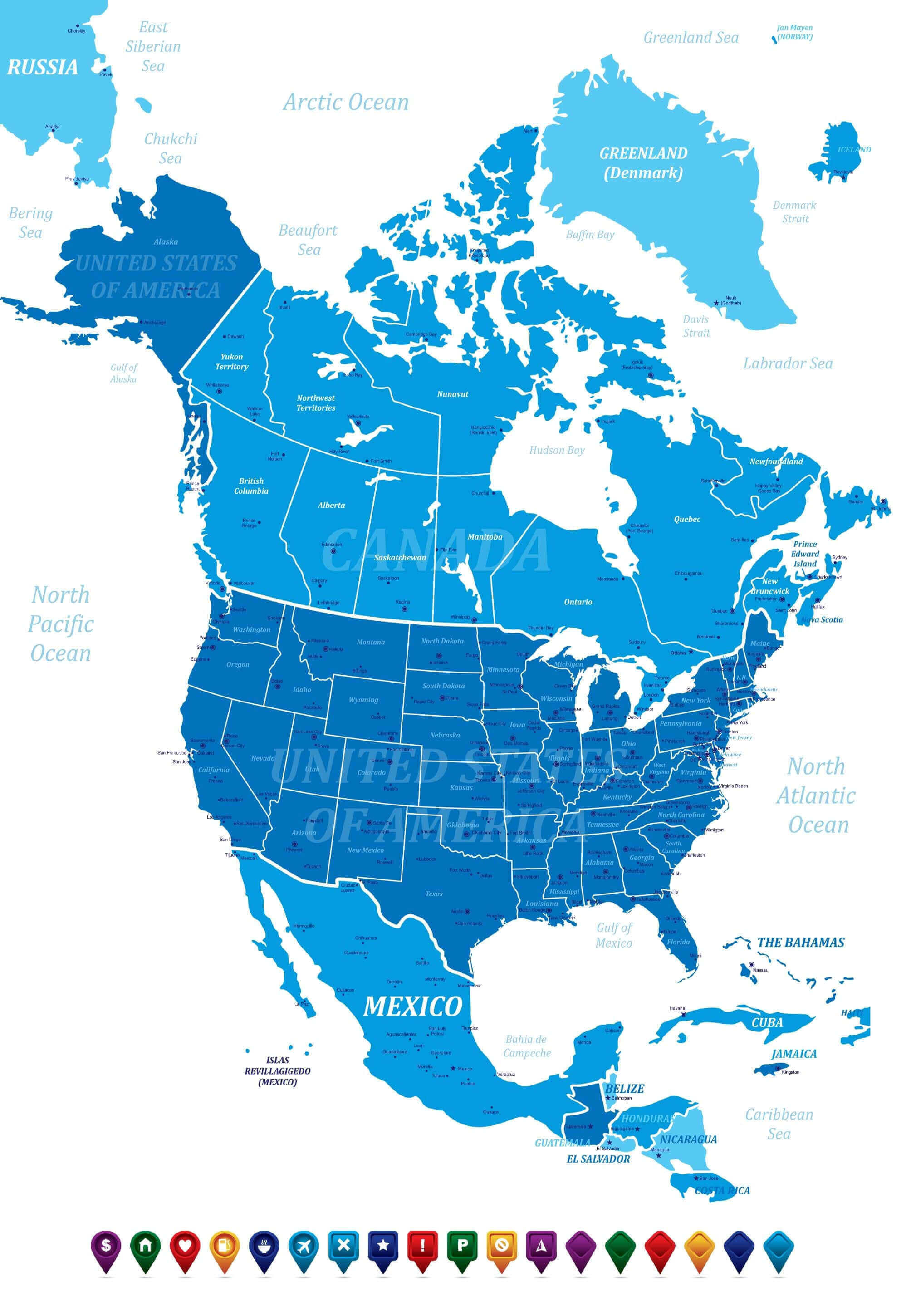
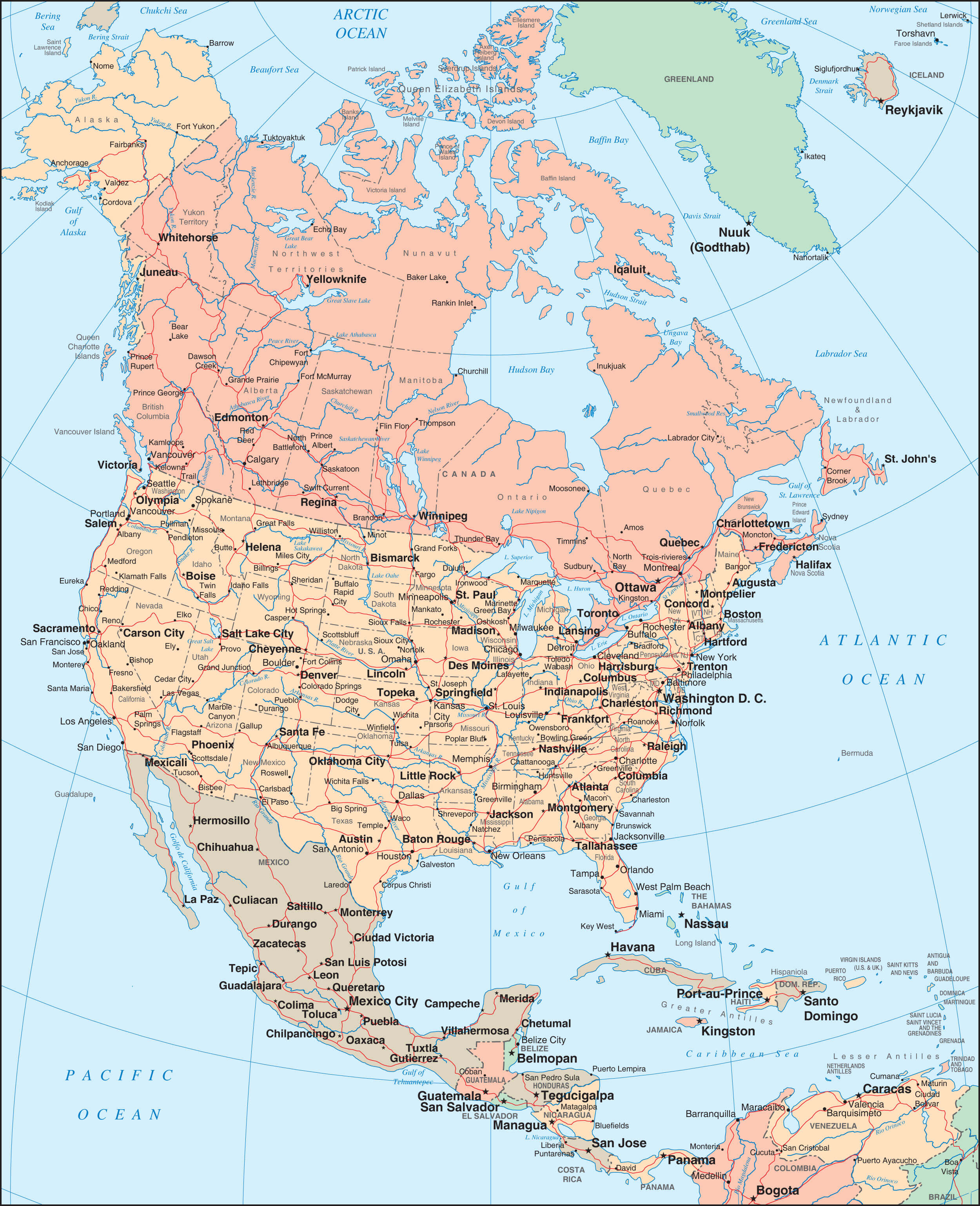
North America states provinces and countries map
North and South America countries map
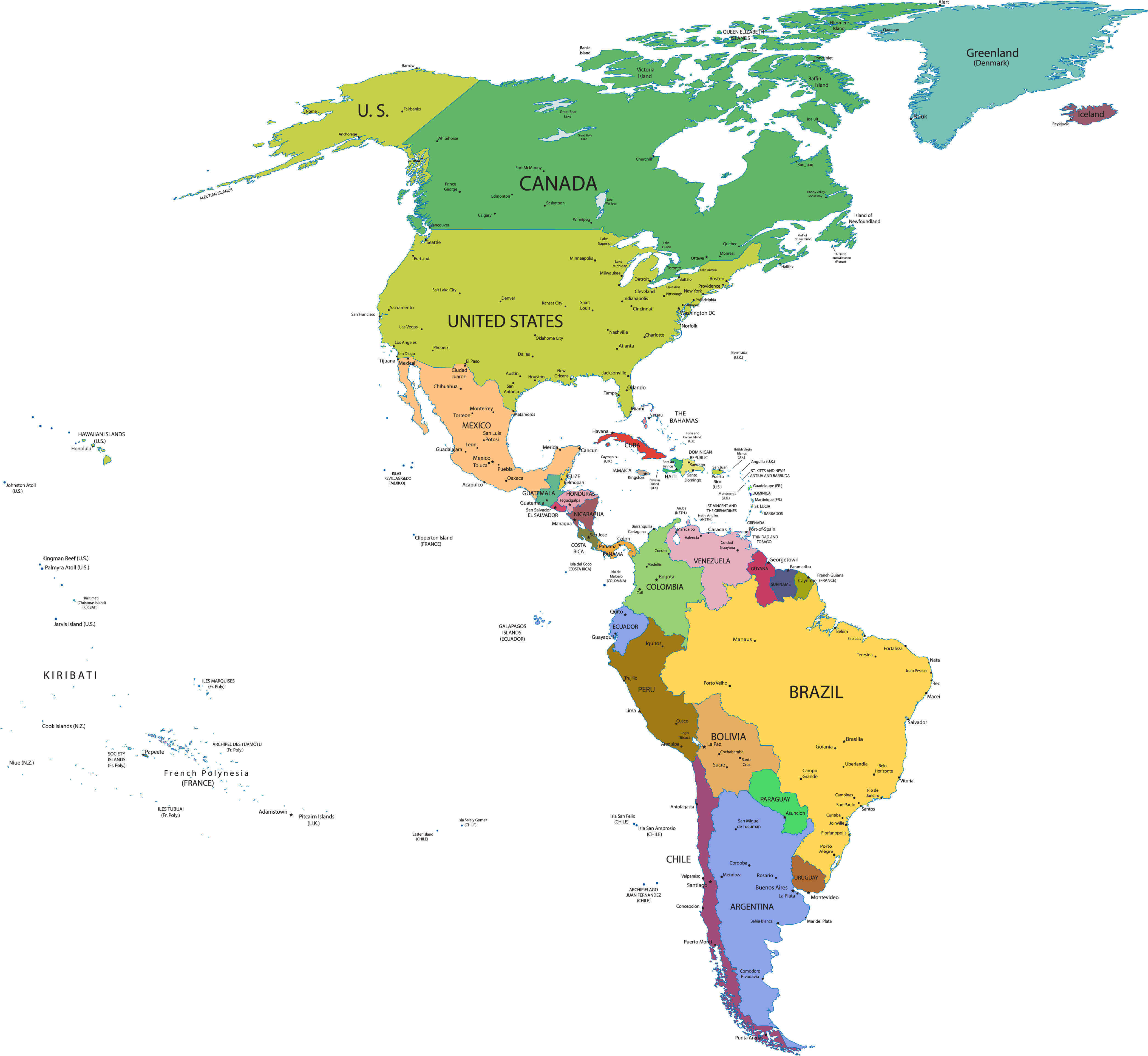
Political map of North America
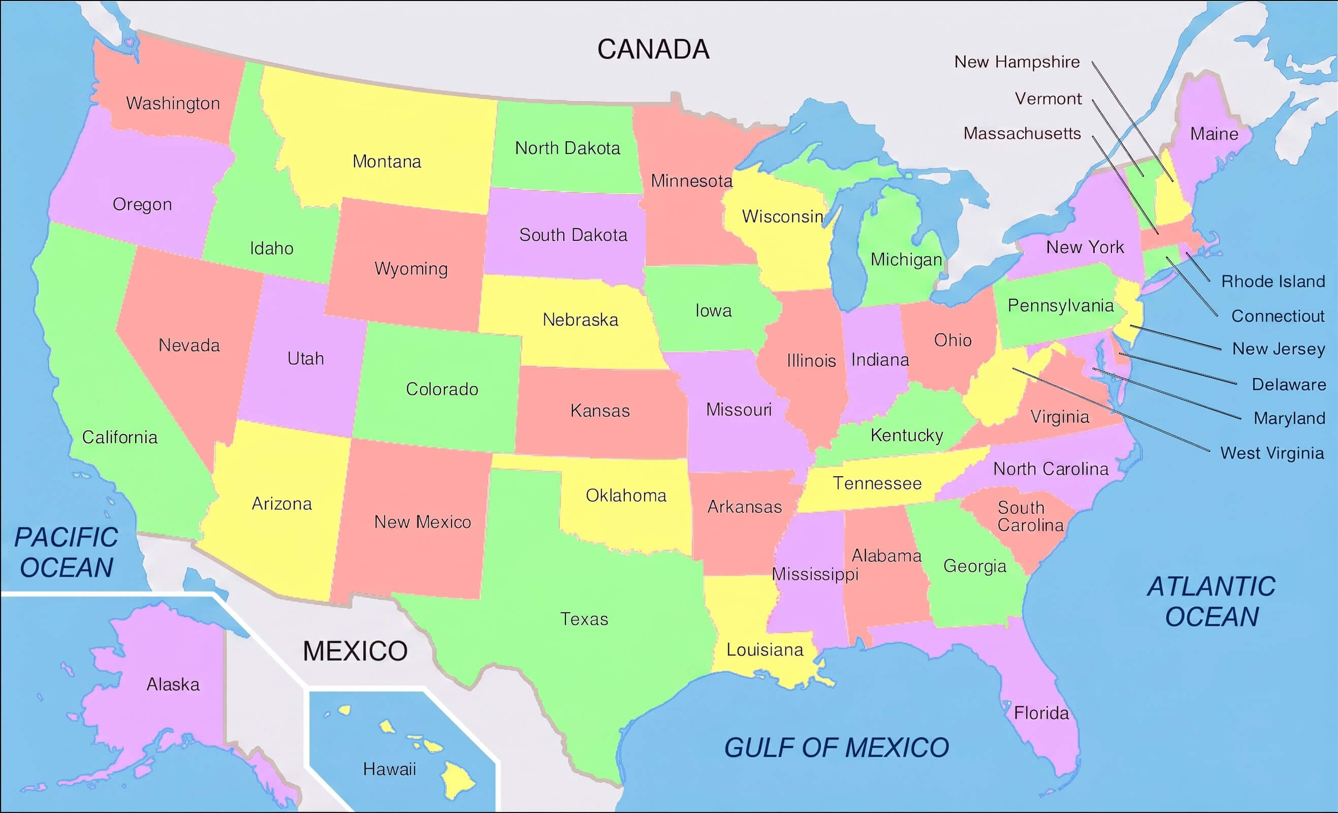
United States map with states North America
Feel free to explore these pages as well:
North America Maps, Countries Map and Earth Views from Space
Please subscribe on "World Guide" channnel on Youtube at youtube.com/c/WorldGuide
North America - Countries, Facts, Geography, Maps and Images - 4K Video (Ultra HD)
Please subscribe on "World Guide" channnel on Youtube at youtube.com/c/WorldGuide