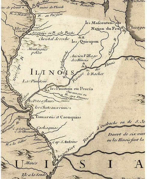
Illinois Map 1718 USA
A few British soldiers were posted in Illinois, but few British or American settlers moved there, as the Crown made it part of the territory reserved for Indians west of the Appalachians. In 1778, George Rogers Clark claimed Illinois County for Virginia. In a compromise, Virginia ceded the area to the new United States in 1783 and it became part of the Northwest Territory, to be administered by the federal government and later organized as states.
Largest Cities Map of Illinois and Population
- Chicago Map - 2.695.598 - (41.878114, -87.629798)
- Aurora Map - 197.899 - (41.761,-88.32)
- Rockford Map - 152.871 - (42.271,-89.094)
- Joliet Map - 147.433 - (41.525,-88.082)
- Naperville Map - 141.853 - (41.786,-88.147)
- Springfield Map - 116.250 - (39.802,-89.644)
- Peoria Map - 115.007 - (40.694,-89.589)
- Elgin Map - 108.188 - (42.037,-88.281)
- Waukegan Map - 89.078 - (42.364,-87.845)
- Cicero Map - 83.891 - (41.84558770000,-87.75394480000)
- Champaign Map - 81.055 - (40.116420, -88.243383)
- Bloomington Map - 76.610 - (40.484203, -88.993687)
- Decatur Map - 76.122 - (39.840315, -88.954800)
- Arlington Heights Map - 75.101 - (42.088360, -87.980626)
- Evanston Map - 74.486 - (42.041141, -87.690059)
- Schaumburg Map - 74.227 - (42.033361, -88.083406)
- Bolingbrook Map - 73.366 - (41.698642, -88.068395)
- Palatine Map - 68.557 - (42.110304, -88.034240)
- Skokie Map - 64.784 - (42.033364, -87.733393)
- Des Plaines Map - 58.364 - (42.033362, -87.883399)
Where is Illinois in the US and Cities Map of Illinois
Please subscribe on "World Guide" channnel on Youtube at youtube.com/c/WorldGuide
Author: Arif Cagrici- Head of Performance Marketing
- Head of SEO
- Linkedin Profile: linkedin.com/in/arifcagrici
- Head of Performance Marketing
- Head of SEO
- Linkedin Profile: linkedin.com/in/arifcagrici
Google Map, Street Views, Maps Directions, Satellite Images
WorldMap1.com offers a collection of map, google map, atlas, political, physical, satellite view, country infos, cities map and more map of .