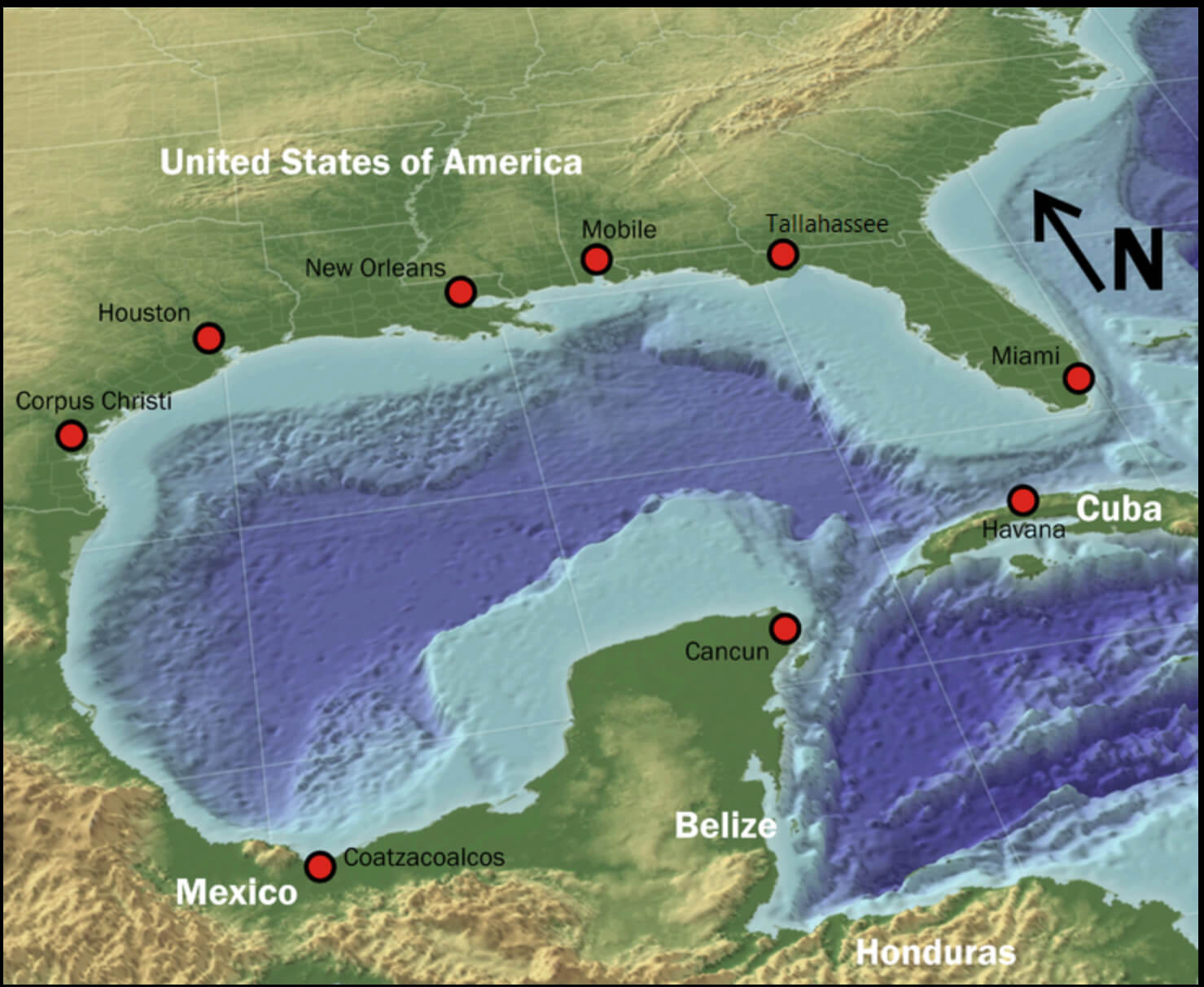
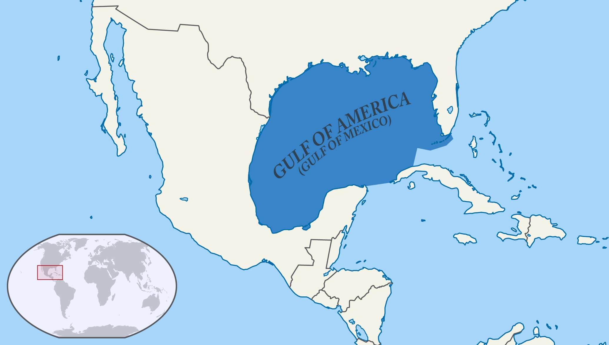
Gulf of America (Gulf of Mexico) Physical Map with Depth and Coastal Features
Explore this detailed physical map of the Gulf of America (Gulf of Mexico), highlighting underwater topography, depth contours, coastal regions and exclusive economic zones. This map provides insight into the seafloor structures, basins and escarpments surrounding Texas, Florida, Mexico and Cuba, essential for marine research and environmental studies.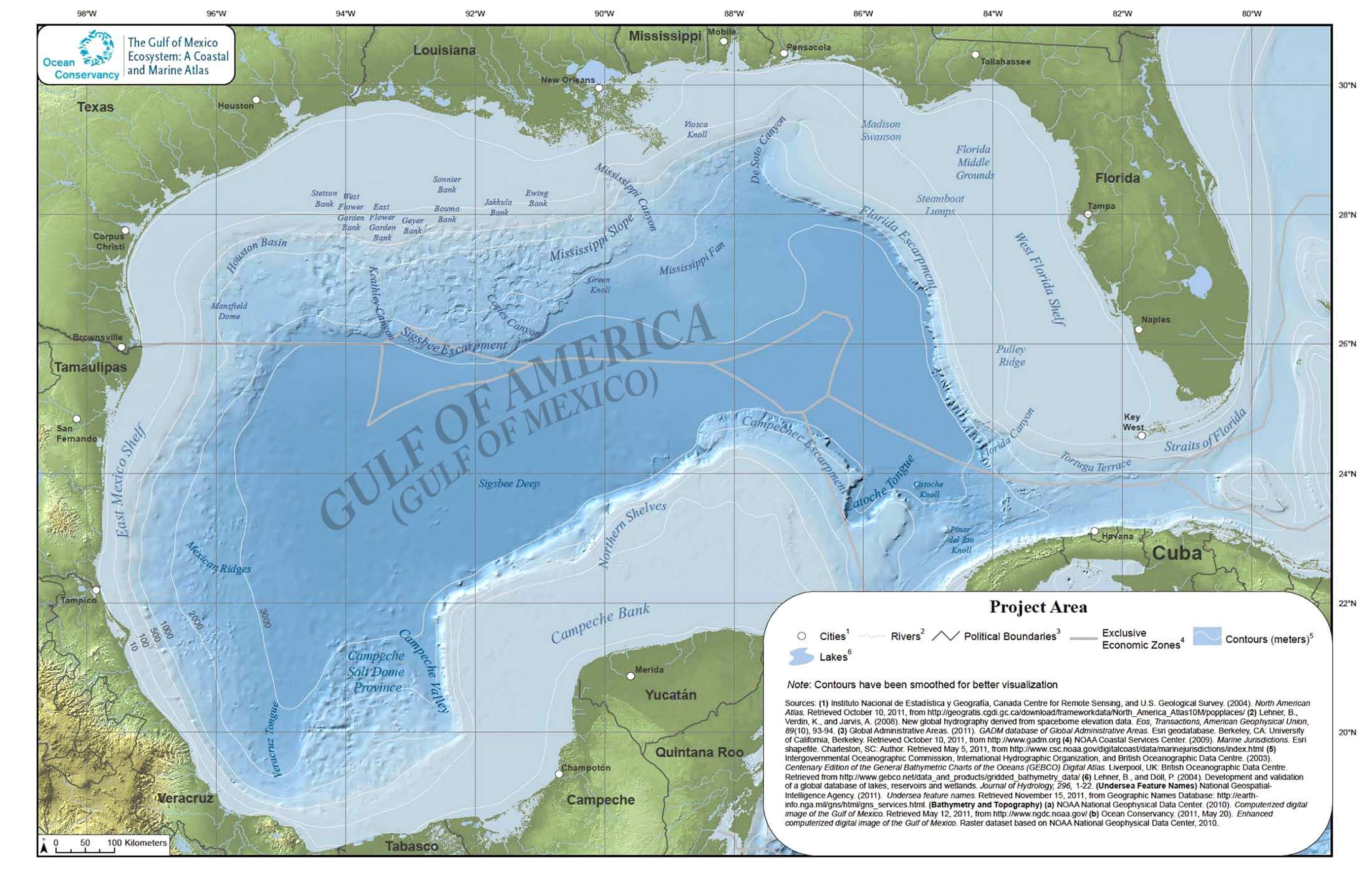
1847 Historical Map of the United States and Mexico – Gulf of America
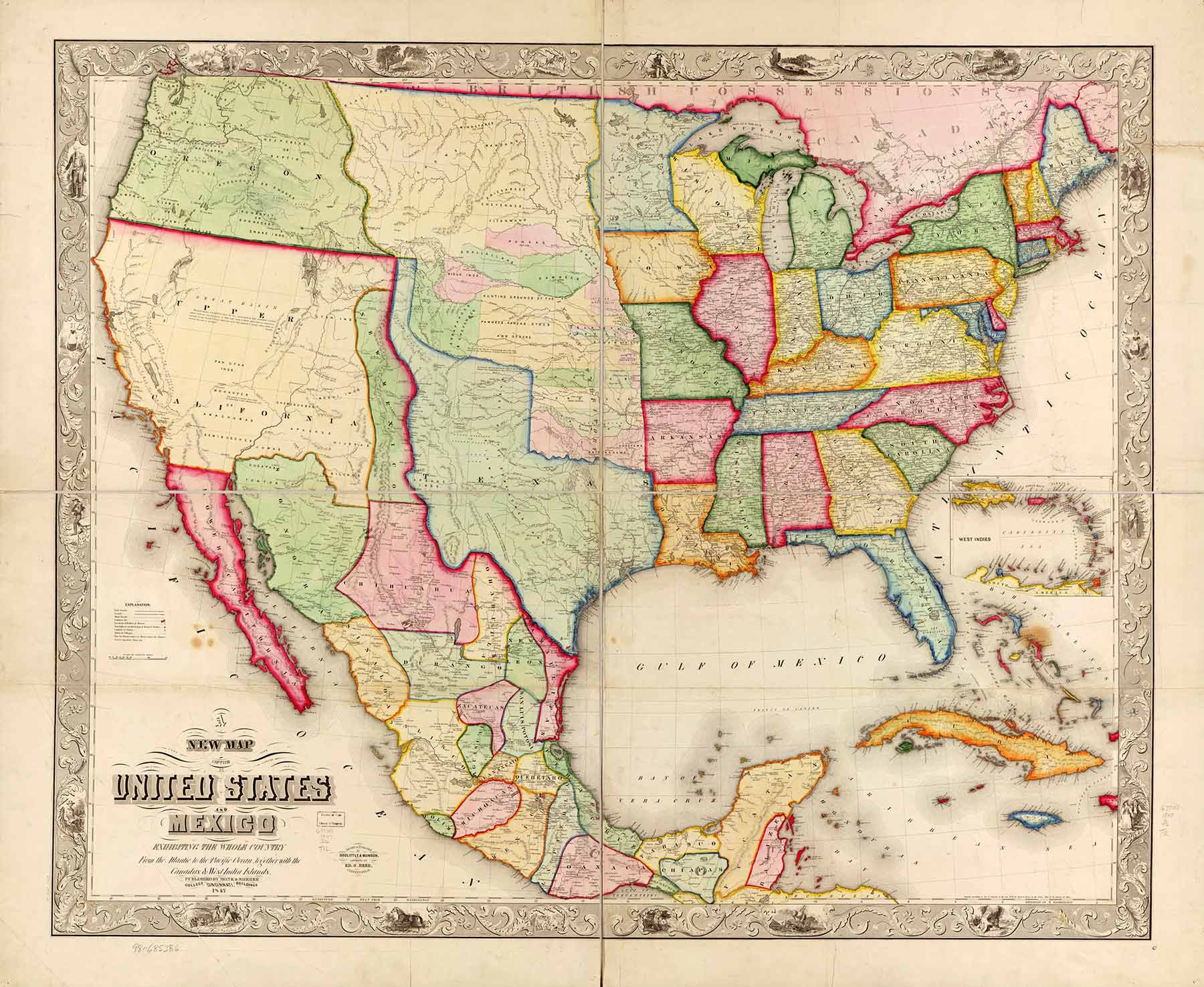 Gulf of America Mexico and US historical map 1847.
Explore this detailed 1847 historical map of the United States and Mexico, showcasing territorial borders, major cities, and the Gulf of America (Gulf of Mexico). A beautifully illustrated map from the mid-19th century, highlighting the evolving geopolitical landscape of North America with intricate details and ornate borders.
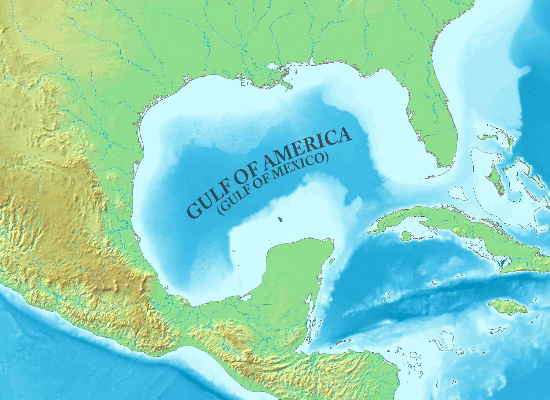
Gulf of America (Gulf of Mexico) Physical Map with Depth and Coastal Features
Gulf of America Mexico physical map with depth contours and coastal features.Explore this detailed physical map of the Gulf of America (Gulf of Mexico), highlighting underwater topography, depth contours, coastal regions and exclusive economic zones. This map provides insight into the seafloor structures, basins and escarpments surrounding Texas, Florida, Mexico and Cuba, essential for marine research and environmental studies.
Gulf of America (Gulf of Mexico) Historical Map from 1732
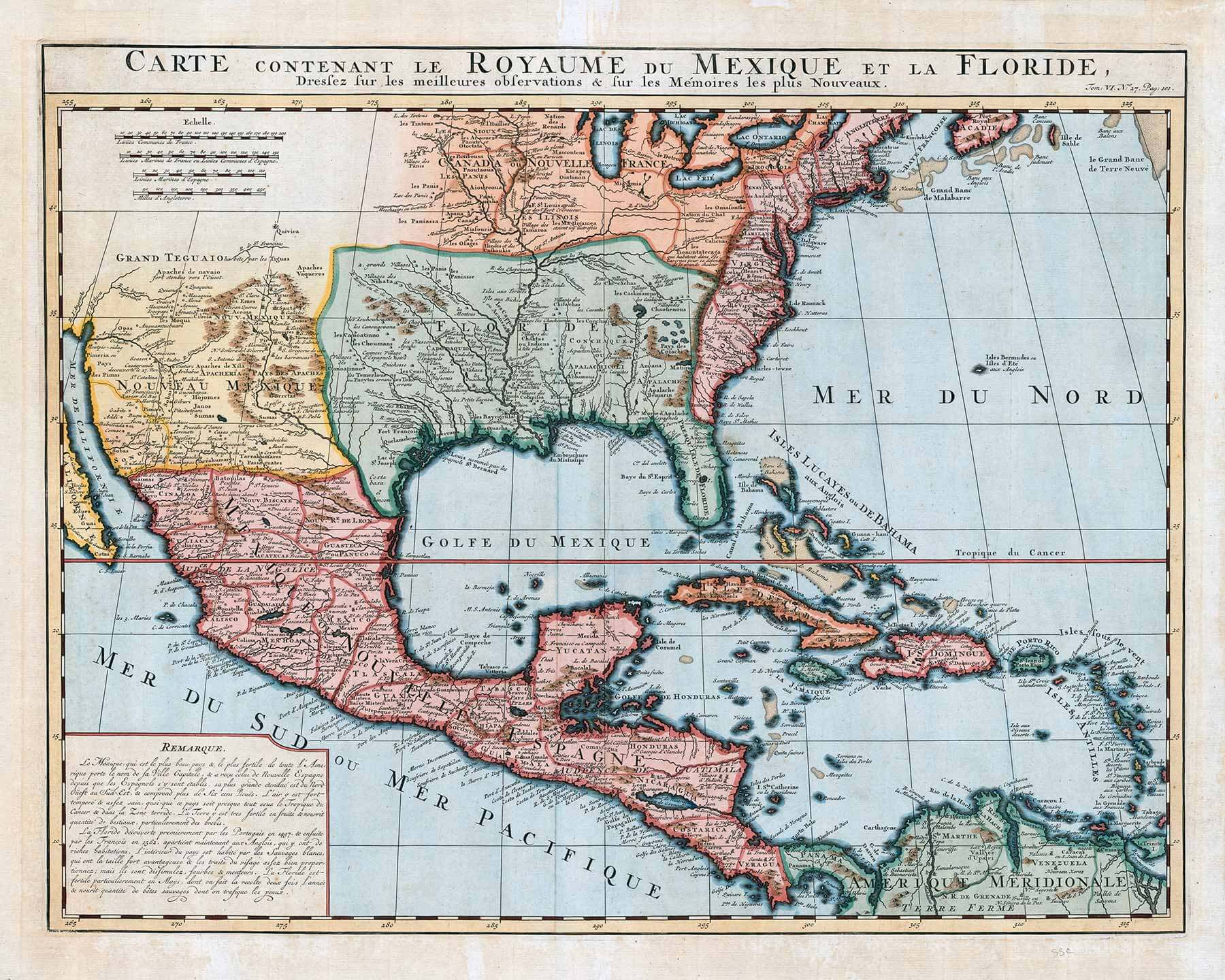 Gulf of America Mexico historical map 1732 with New Spain and Florida territories.
Discover this rare 1732 historical map of the Gulf of America (Gulf of Mexico), depicting colonial New Spain, Florida, and surrounding regions. The map showcases early cartographic details, territorial divisions, and important trade routes of the era. A fascinating look into North American and Caribbean geography from the 18th century.
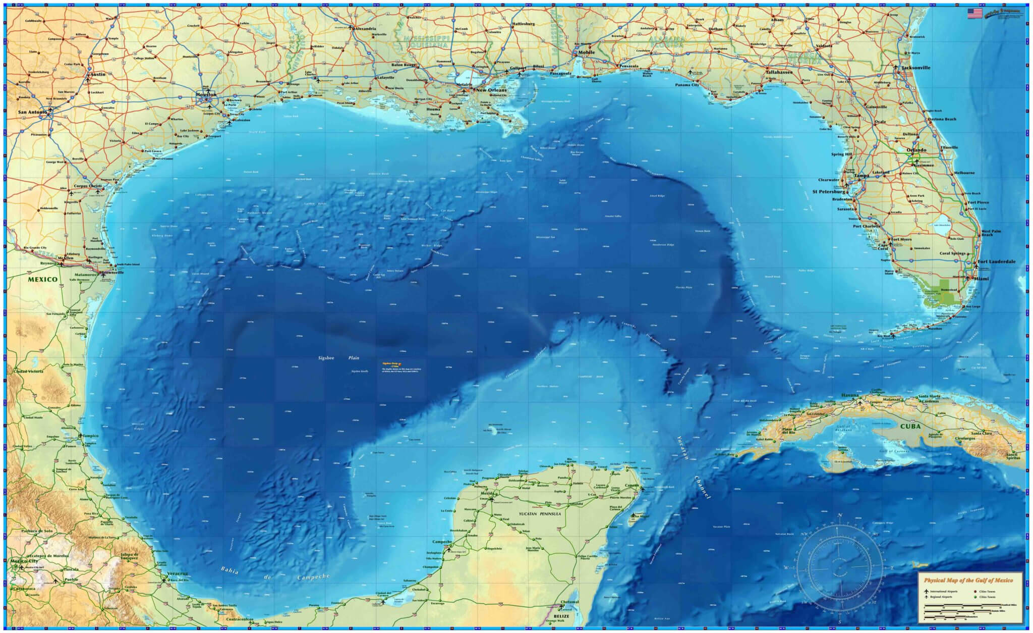
Gulf of Mexico Terrain Map
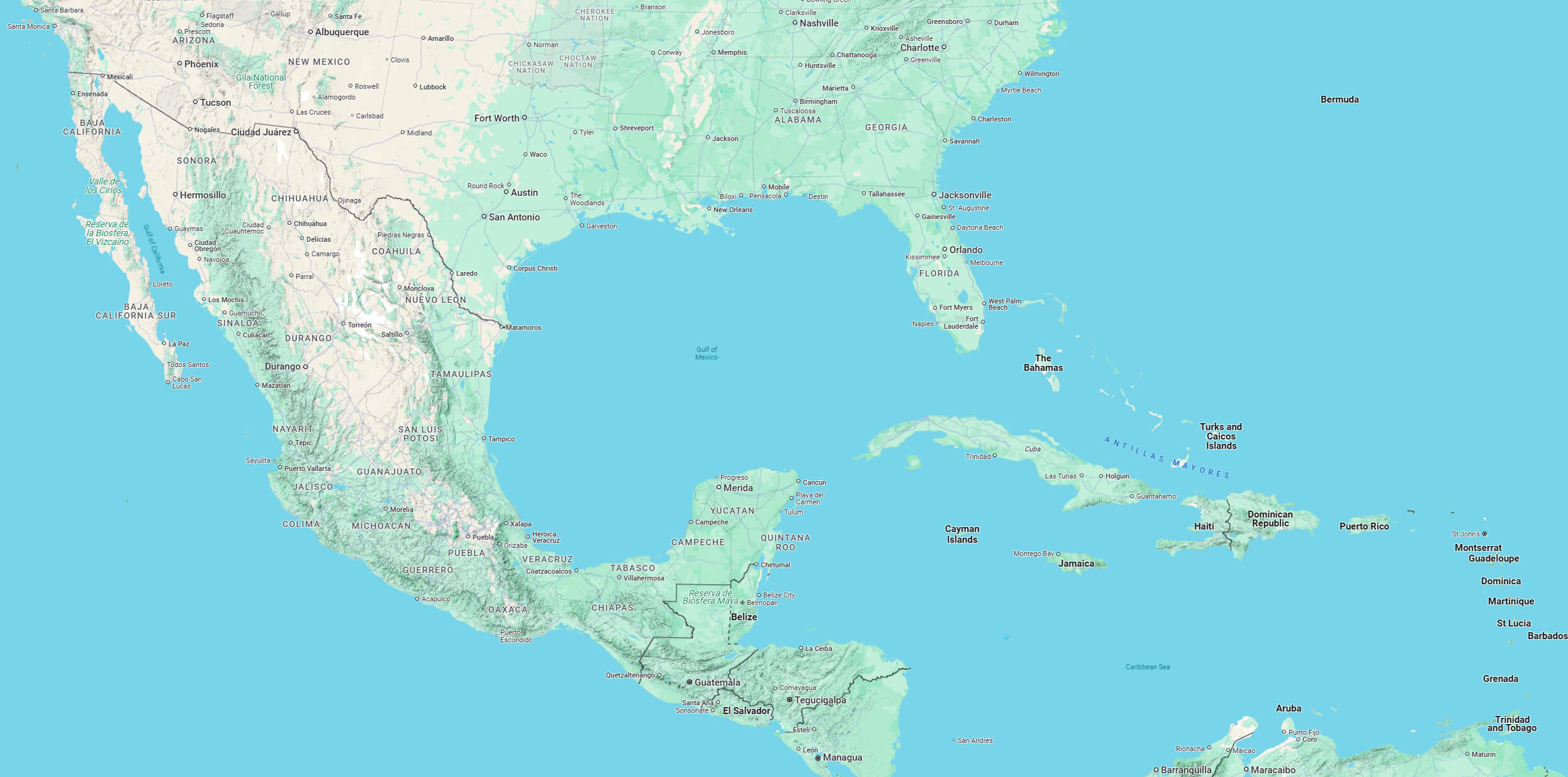
Map of Gulf of Mexico
 Gulf of America region has a total population of 67 million population.
The five US states bordering the Gulf have a total population of 67 million, of which 15.8 million live in coastal counties directly bordering the Gulf.
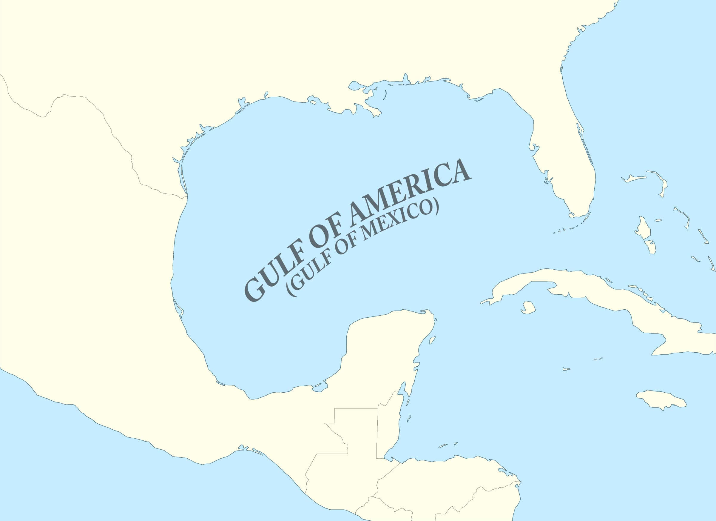
Gulf of America Mexico blank map
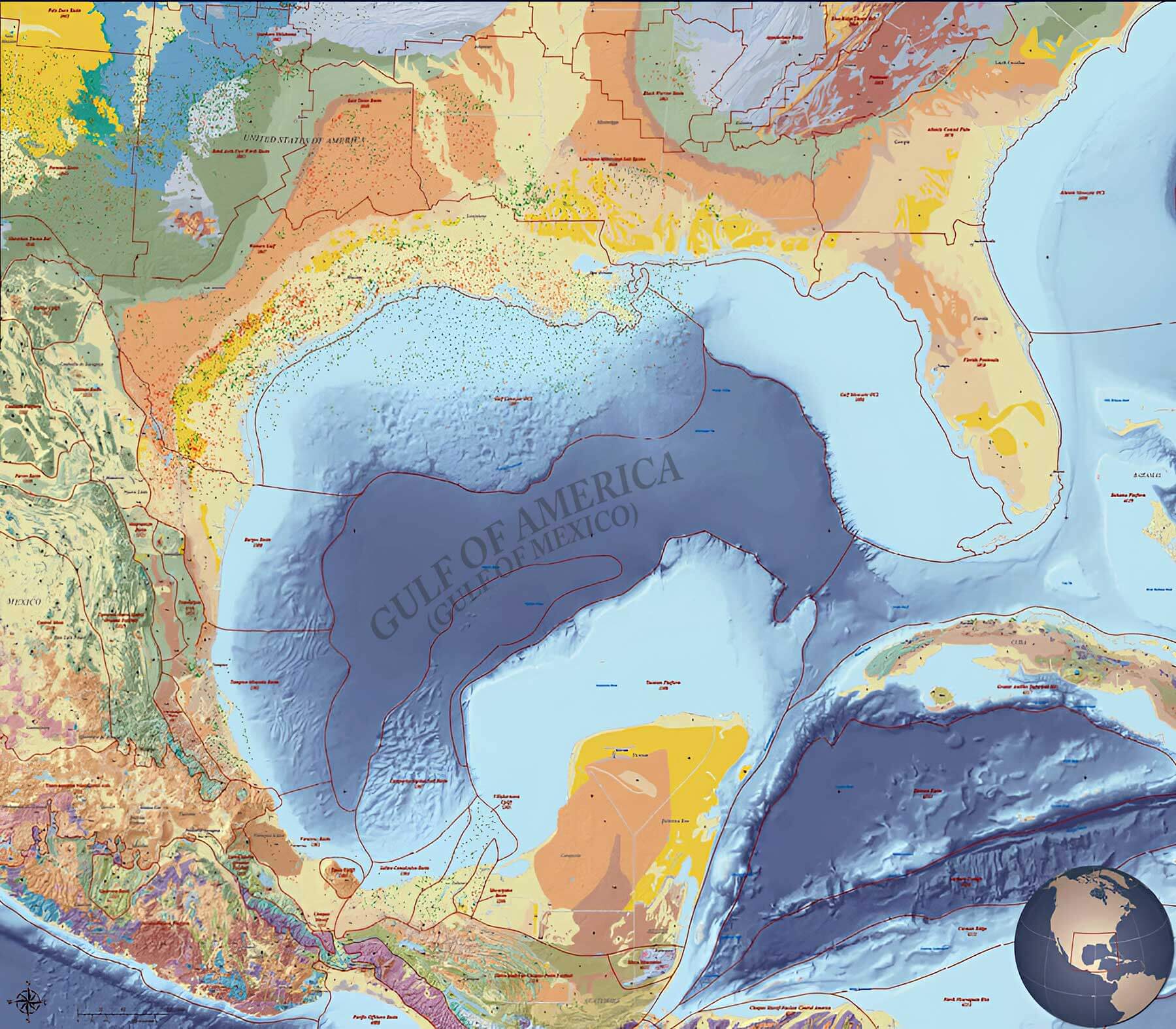
Gulf of America Mexico geology map oil and gas fields
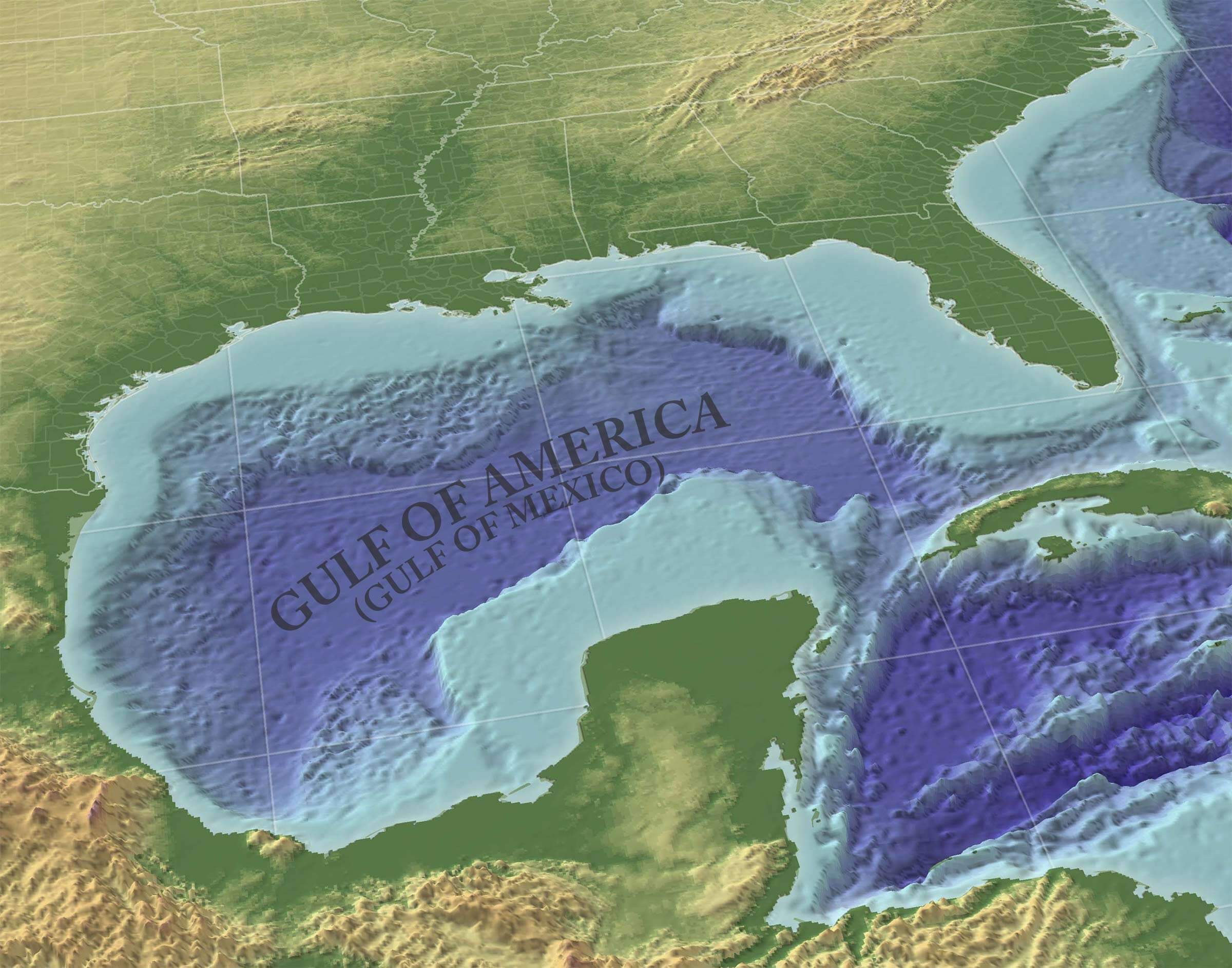
Gulf of America Mexico gulf 3d perspective map
Gulf of America Mexico location map with regions
Gulf of America Mexico relief map
Gulf of America Mexico topographic map
Gulf of Mexico map
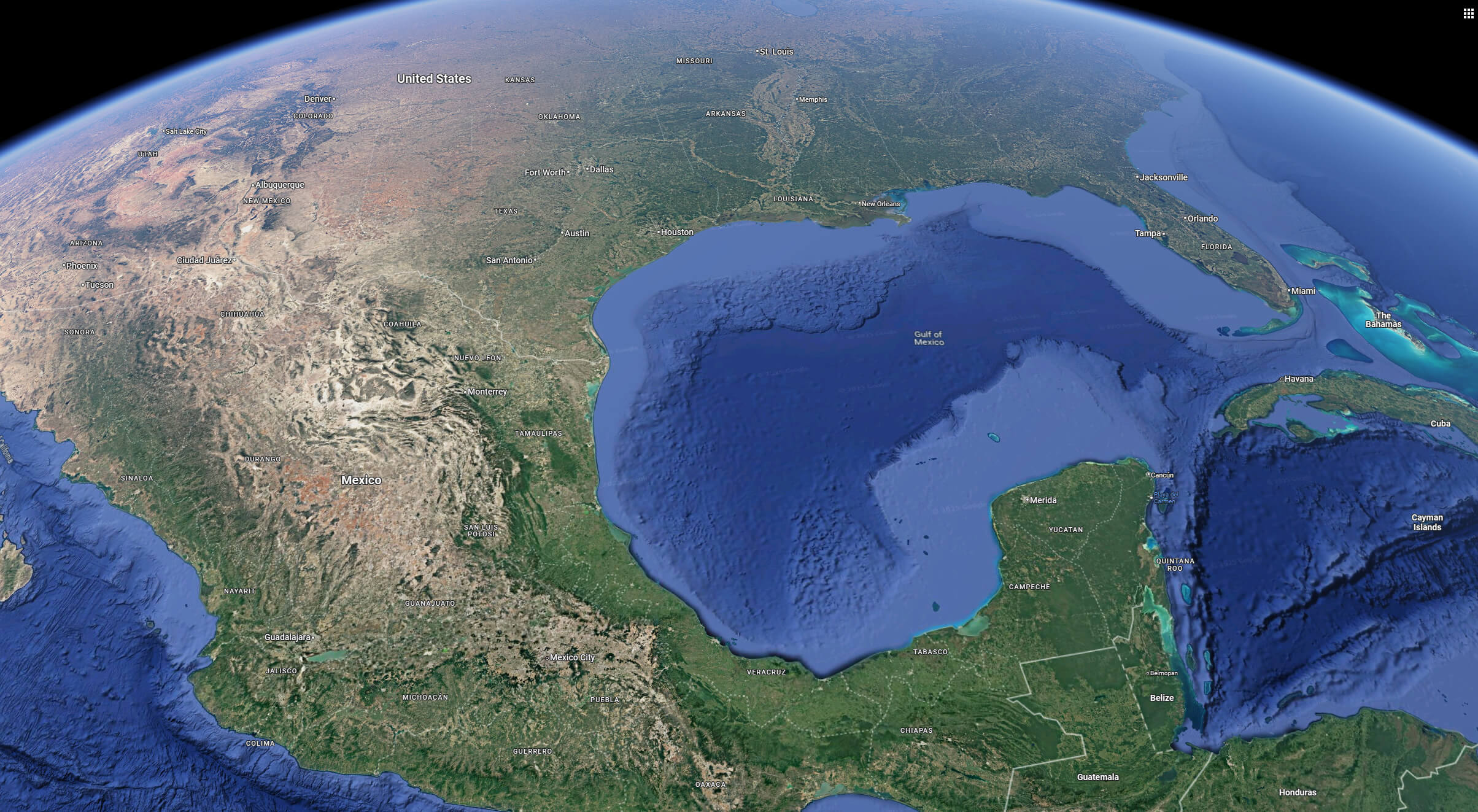
Gulf of Mexico satellite map
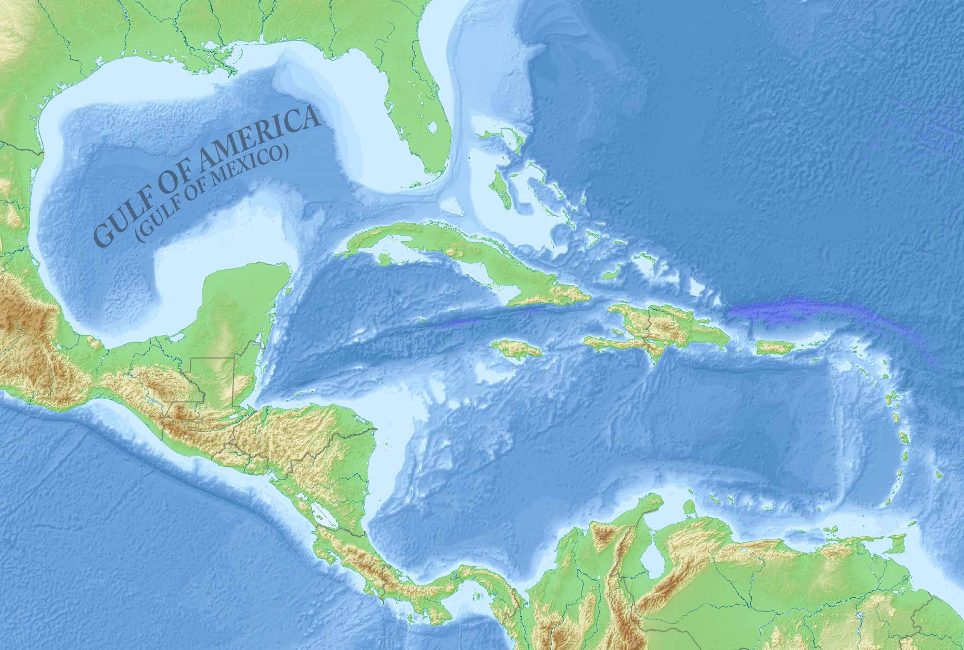
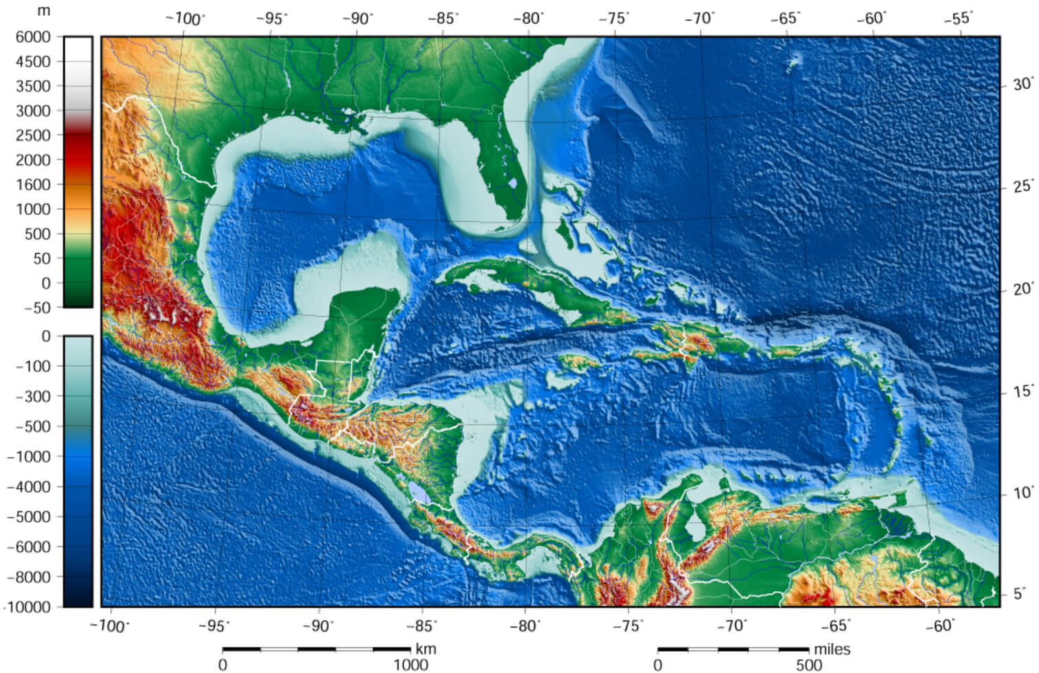
Relief map of the Gulf of Mexico and the Caribbean Islands
Feel free to explore these pages as well:
- Head of Performance Marketing
- Head of SEO
- Linkedin Profile: linkedin.com/in/arifcagrici