Physical map of the United States
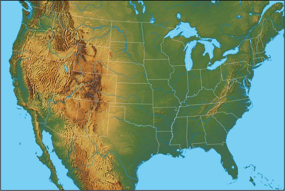
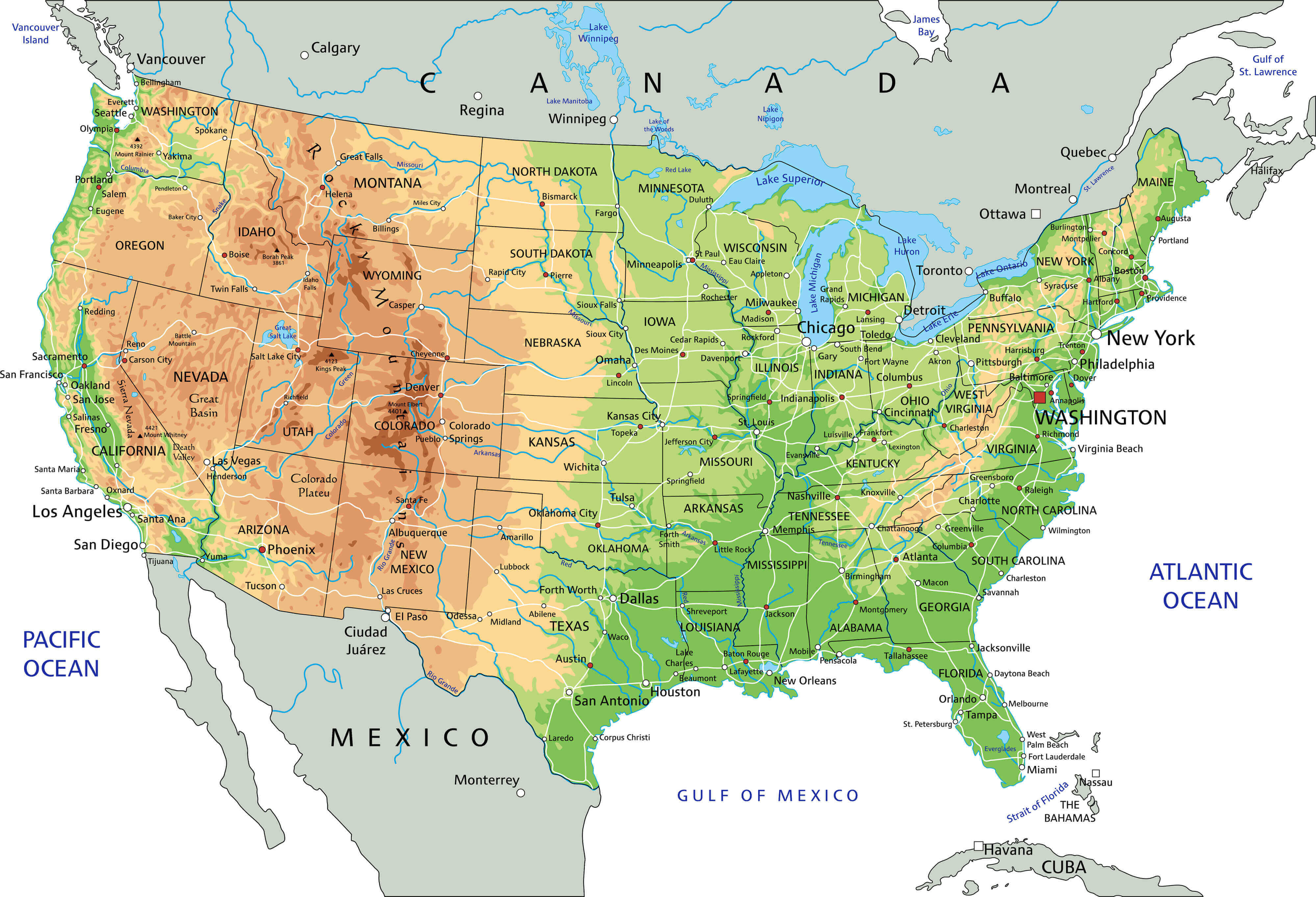 Physical map of the United States showing shaded relief, rivers, cities, and state borders.
Detailed physical map of the United States with shaded relief showing elevation, major mountain ranges, rivers and lakes, state boundaries and principal cities. Includes coastal outlines and the Gulf of Mexico — ideal for education, travel planning, and geographic reference.
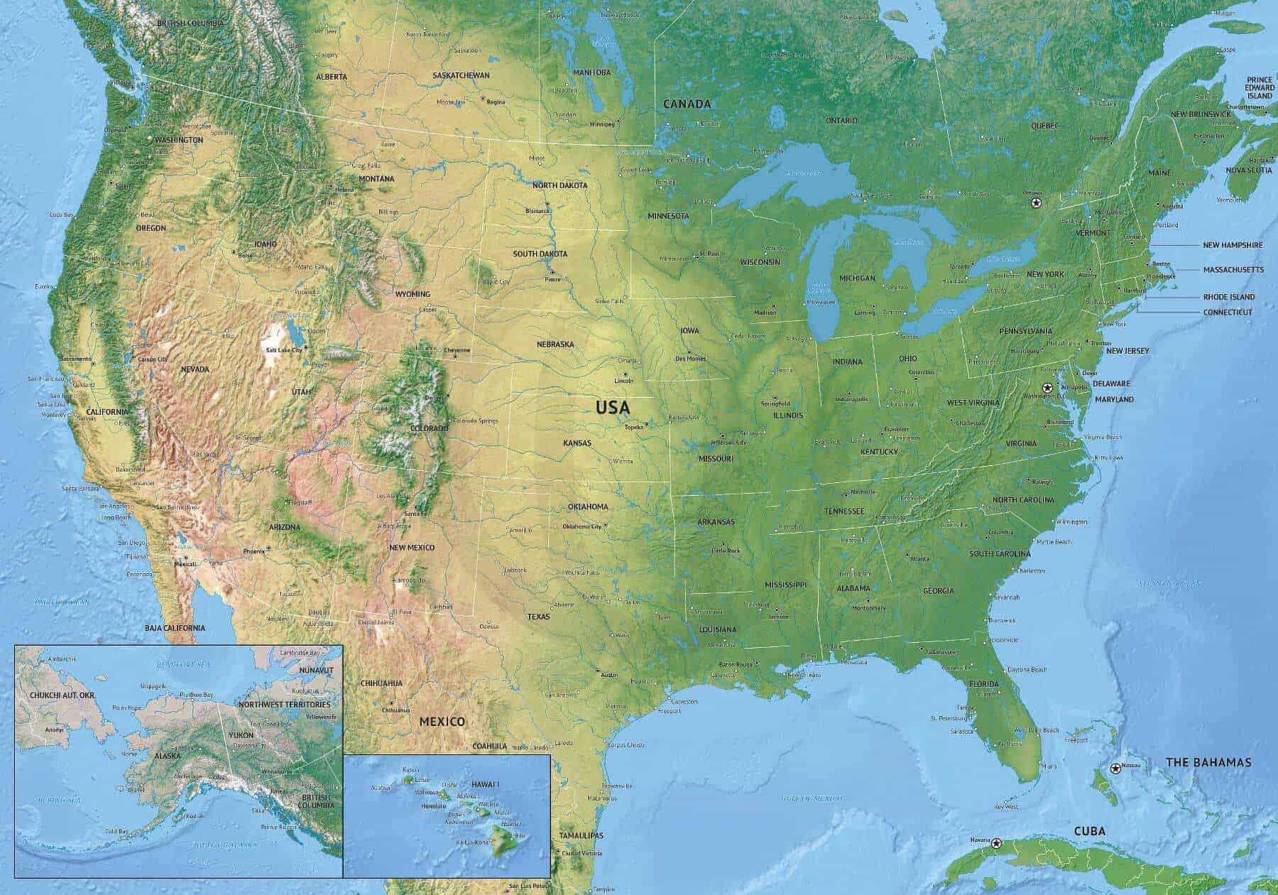
United States physical map with Alaska & Hawaii
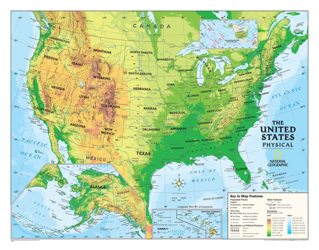 United States physical map showing shaded relief with Alaska and Hawaii insets.
Detailed physical map of the United States with shaded relief showing mountains, plains, major rivers and lakes, state boundaries and principal cities. Insets for Alaska and Hawaii are included to show their topography. Ideal for classroom use, travel planning, or geographic reference.
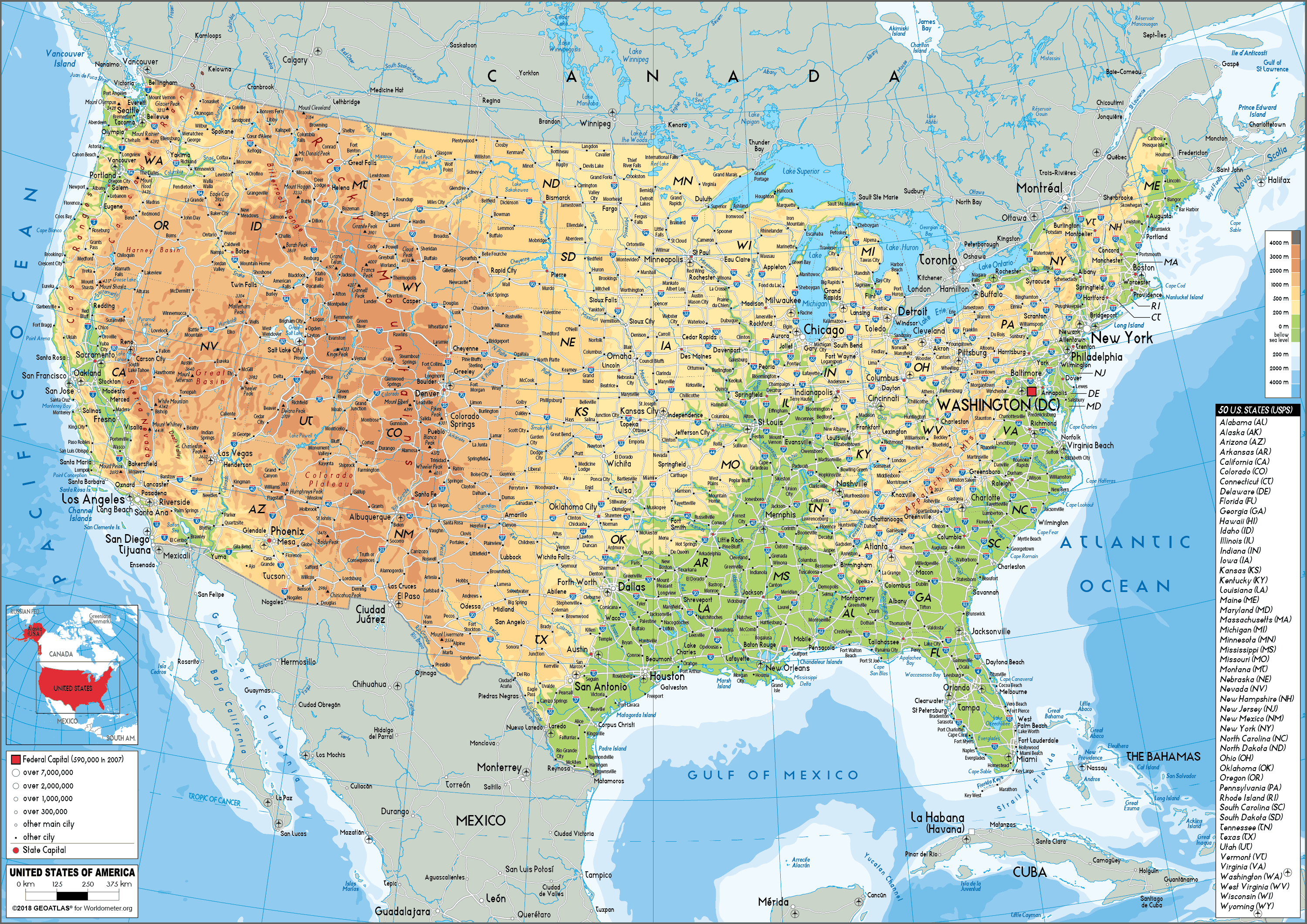
Physical Map of the United States by Land Elevation
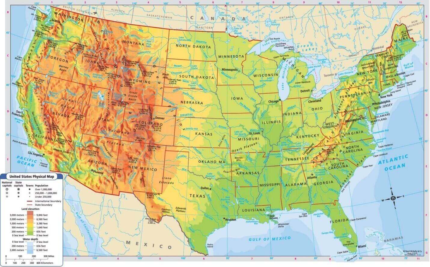 Physical map of the United States showing land elevation and terrain features.
This physical map of the United States illustrates land elevation using color shading to show mountains, plains, and valleys. It highlights major geographic features such as the Rocky Mountains, Great Plains, and Appalachian Mountains, offering a clear view of U.S. topography and elevation differences.
High resolution United States blank physical map
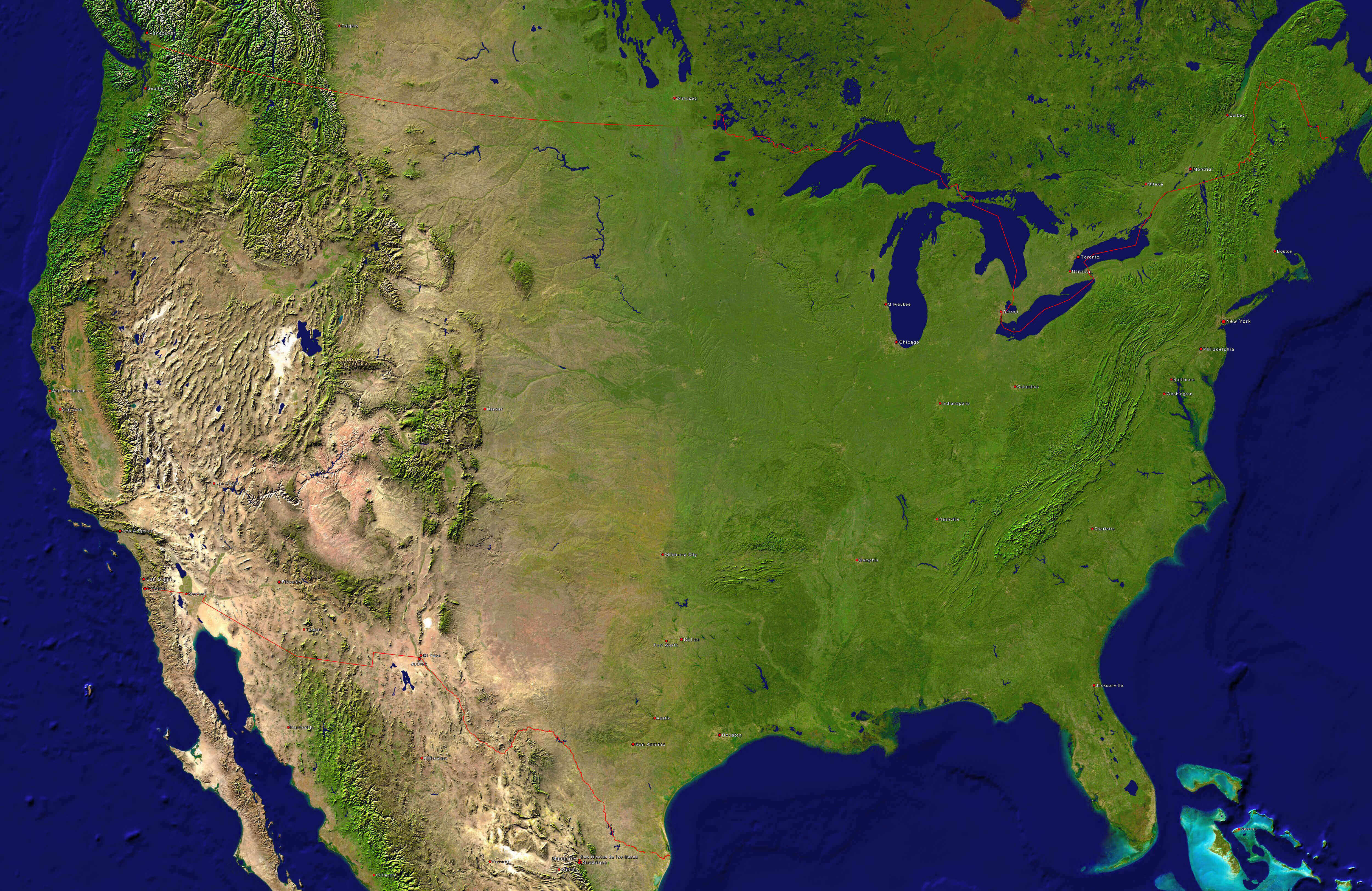
High resolution United States topography map
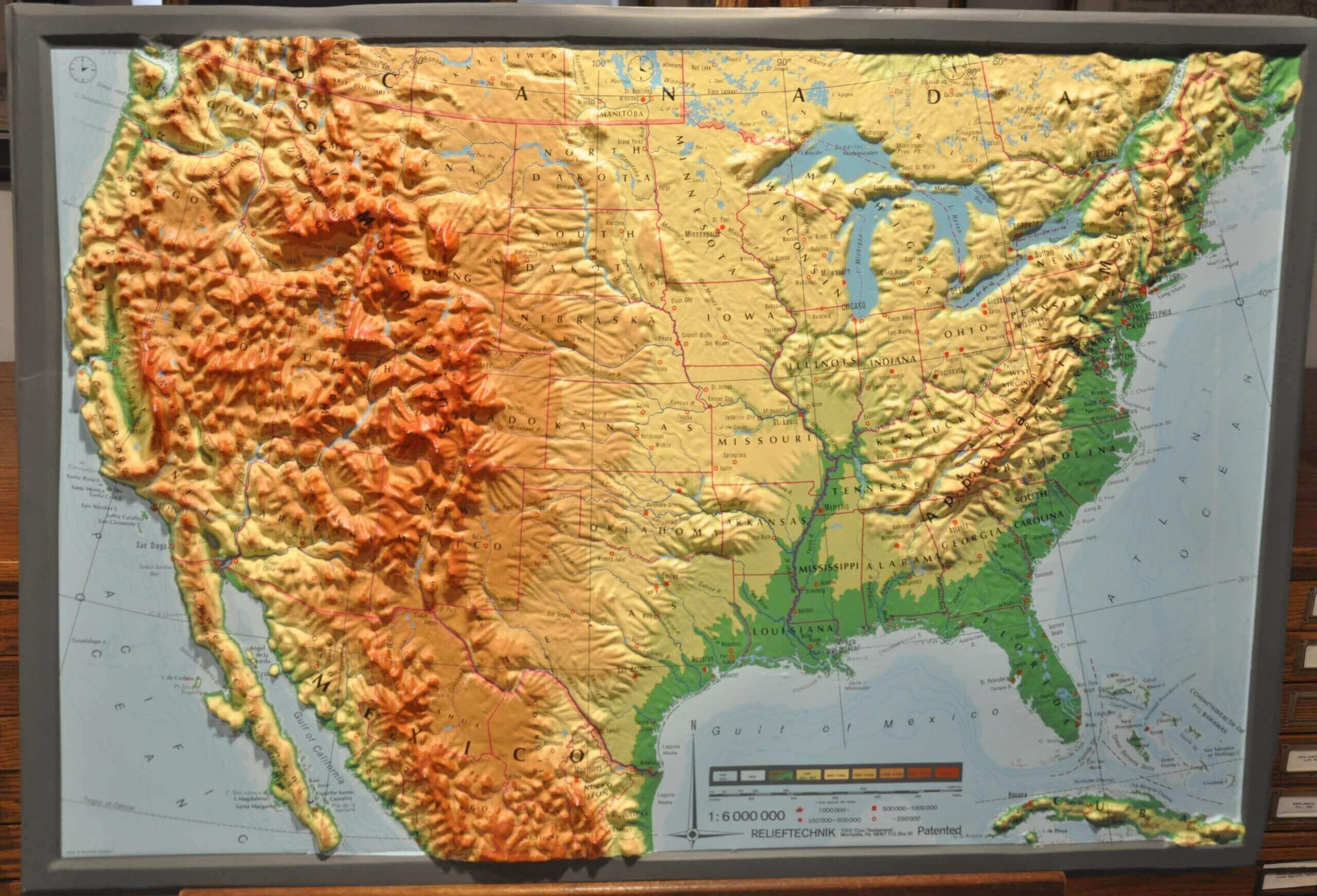
North America and United States physical map
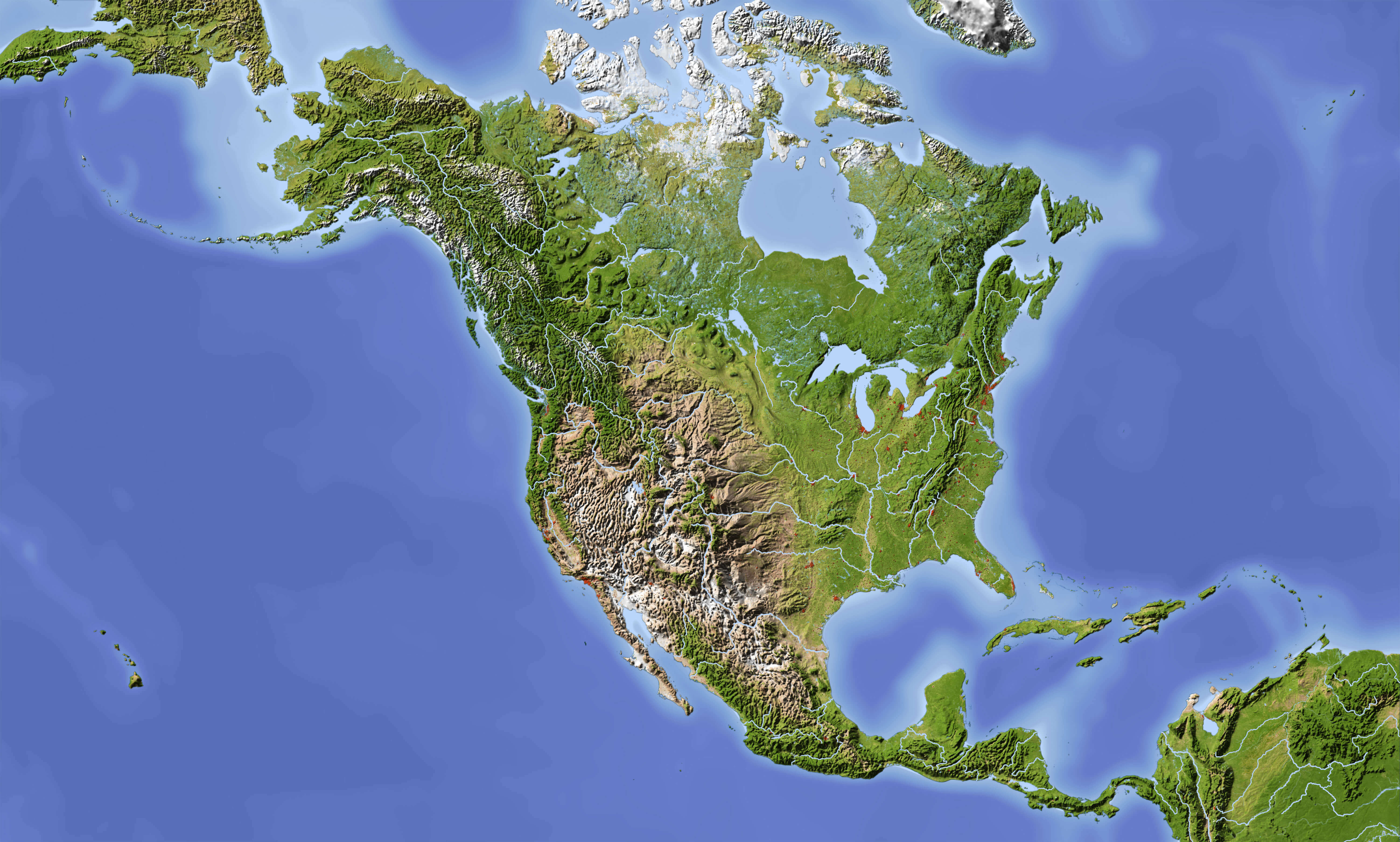
Physical and topographic map of the United States
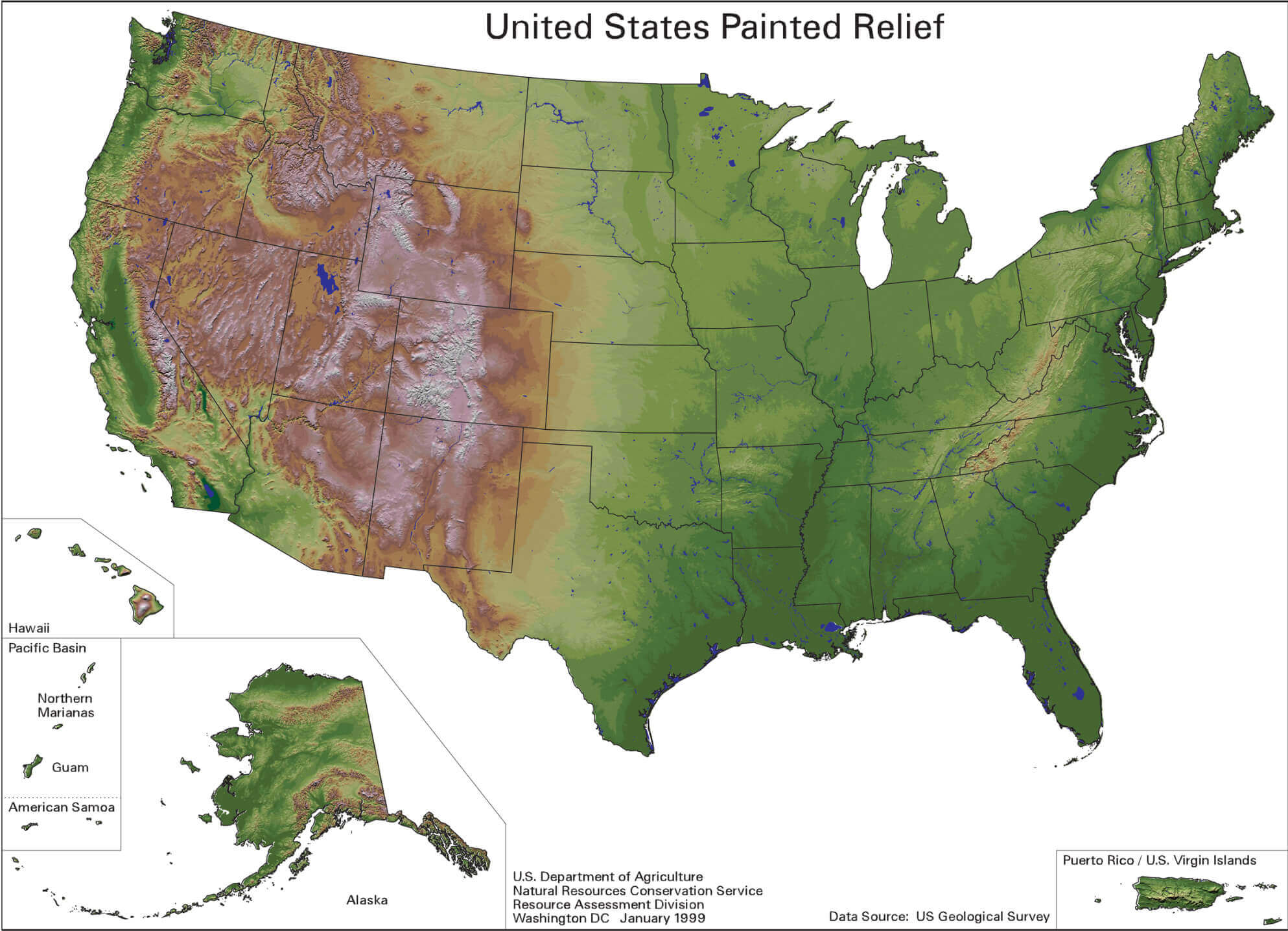
Physical map of United States
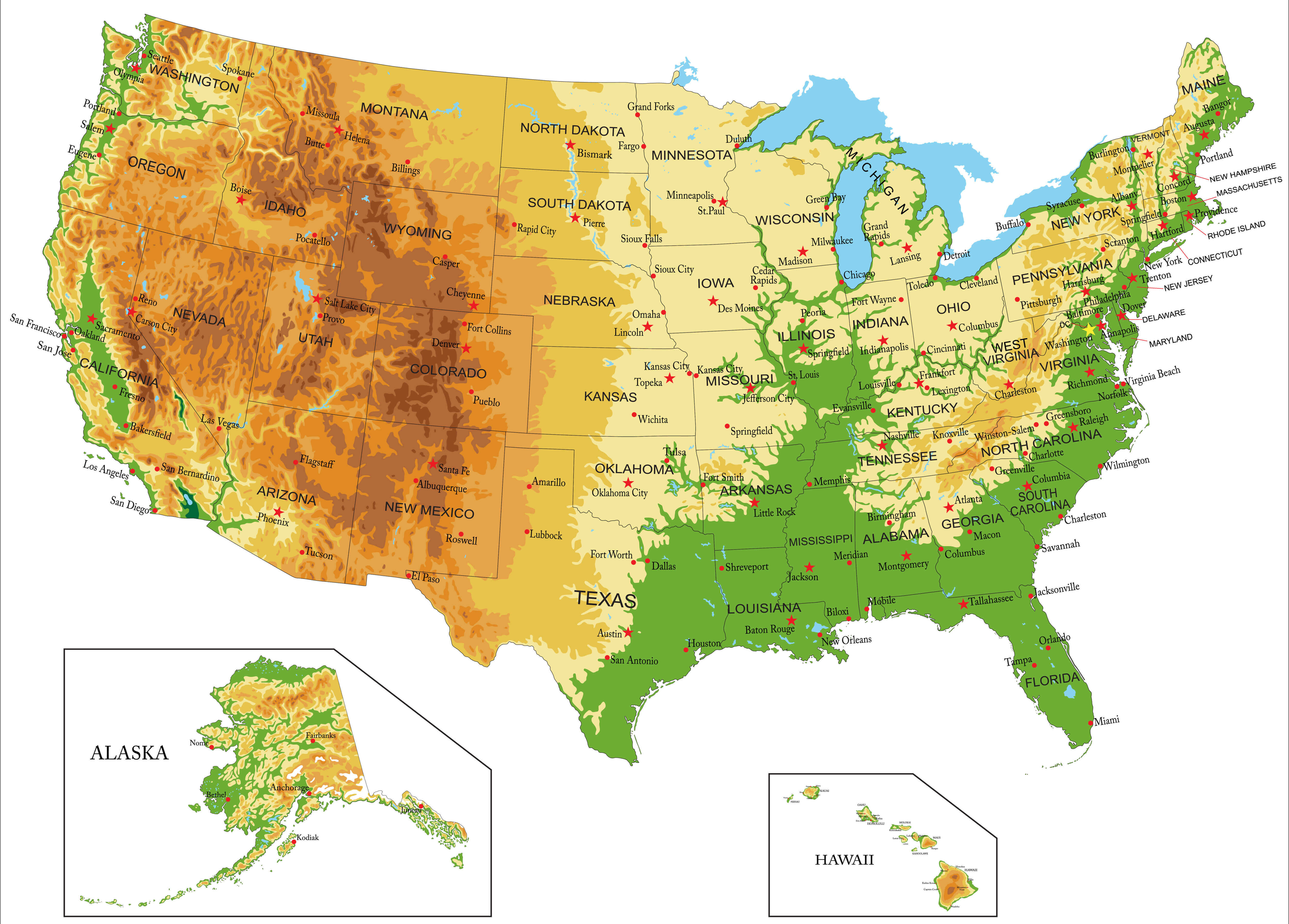
Physical vector map of United States of America
The United States of America physical map by states capital
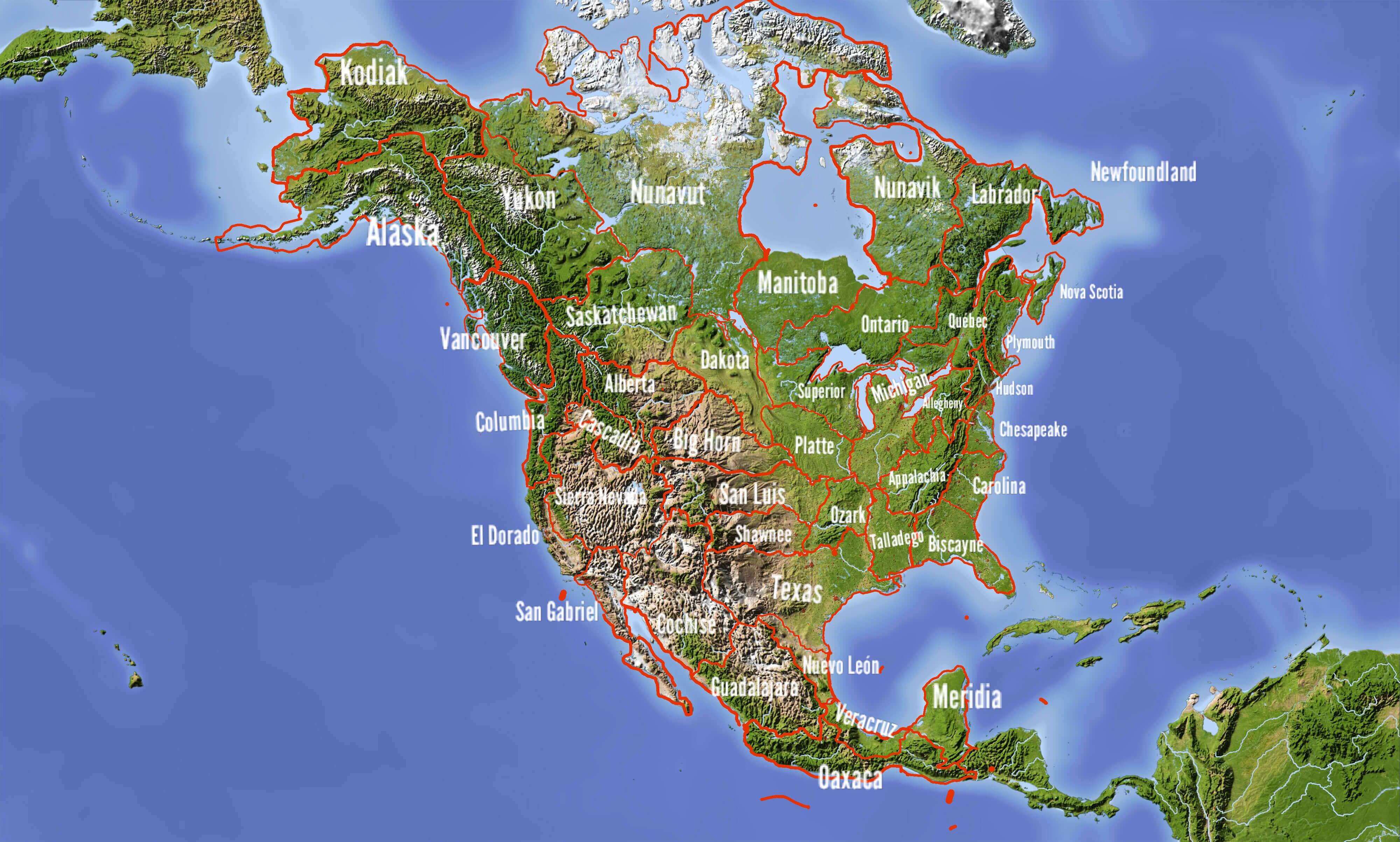
United States Canada Mexico physical map

United States north and central America physical map
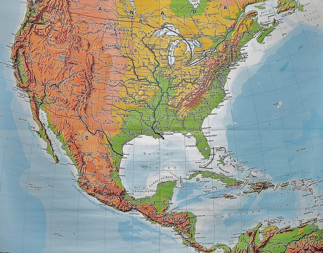
United States of America and central America physical wall map
United States of America physical map by states
United States of America physical map with free vector
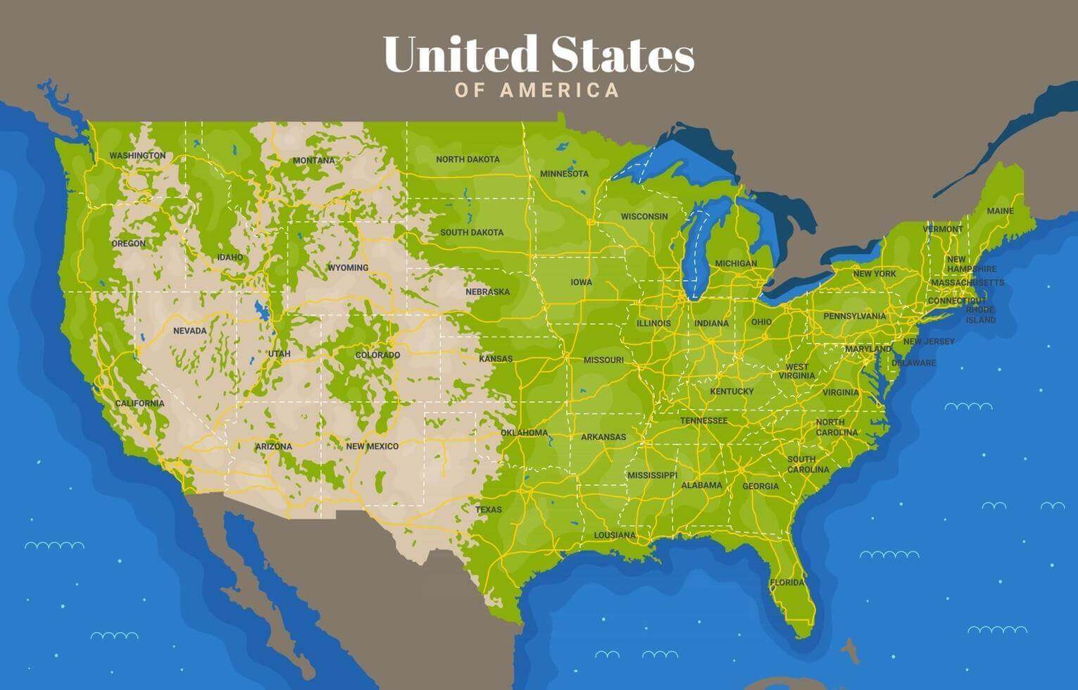
United States of America physical map
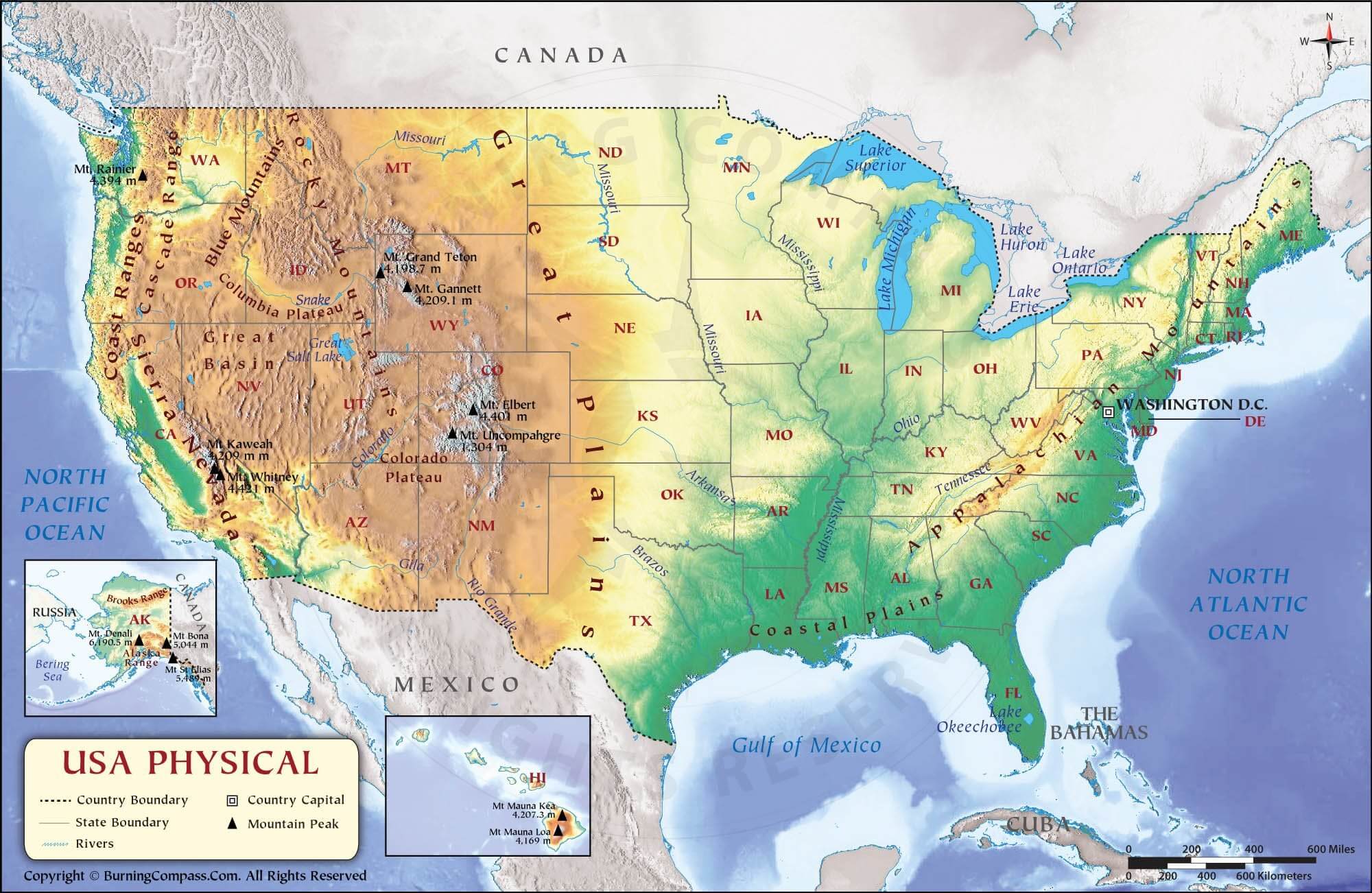
United States of America physical maps
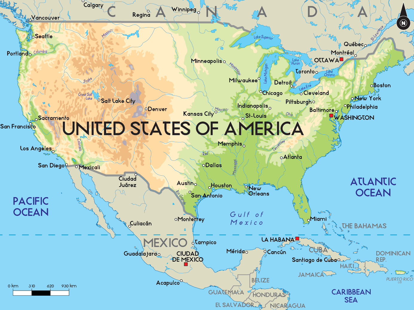
United States of America wall physical map
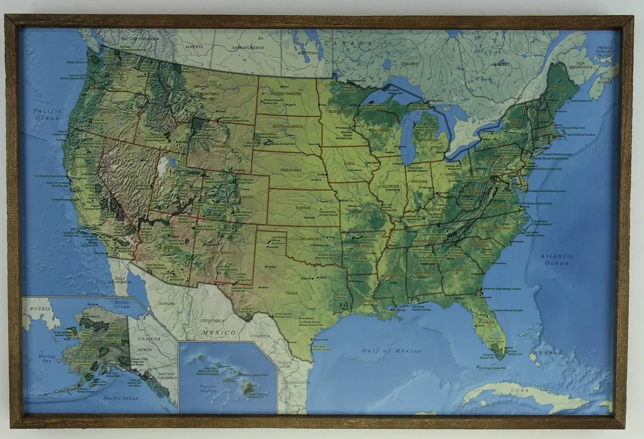
United States physical and lands map
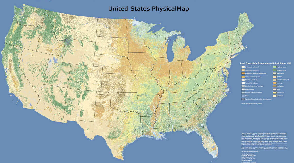
United States physical and terrain map
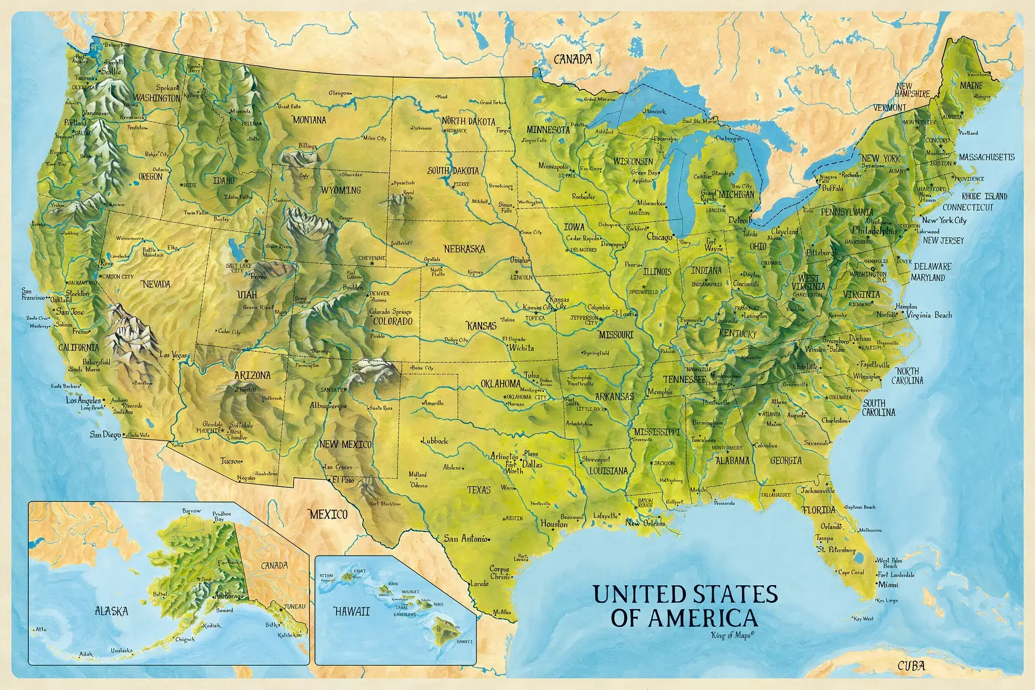
United States physical and topo map
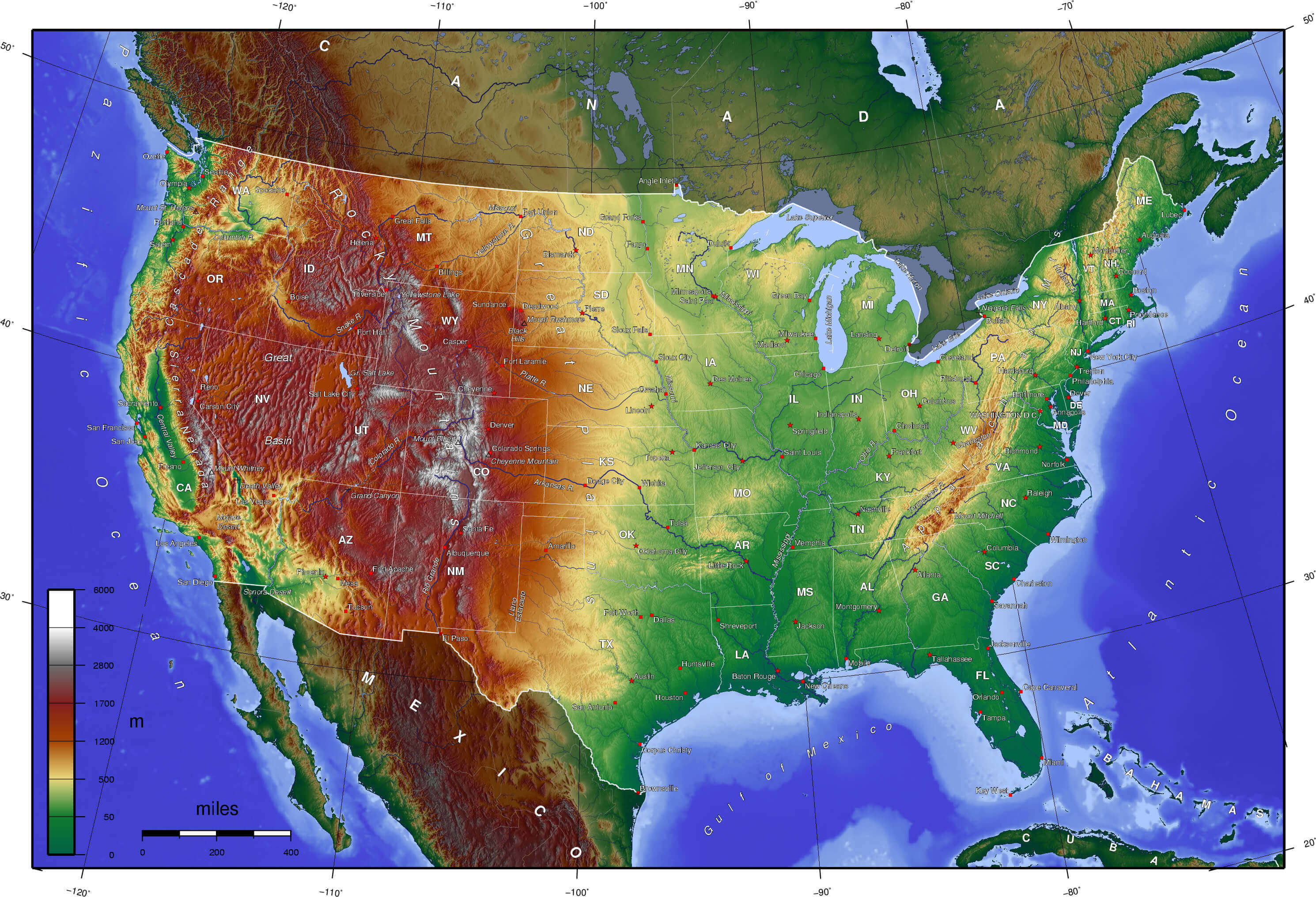
United States physical map in english
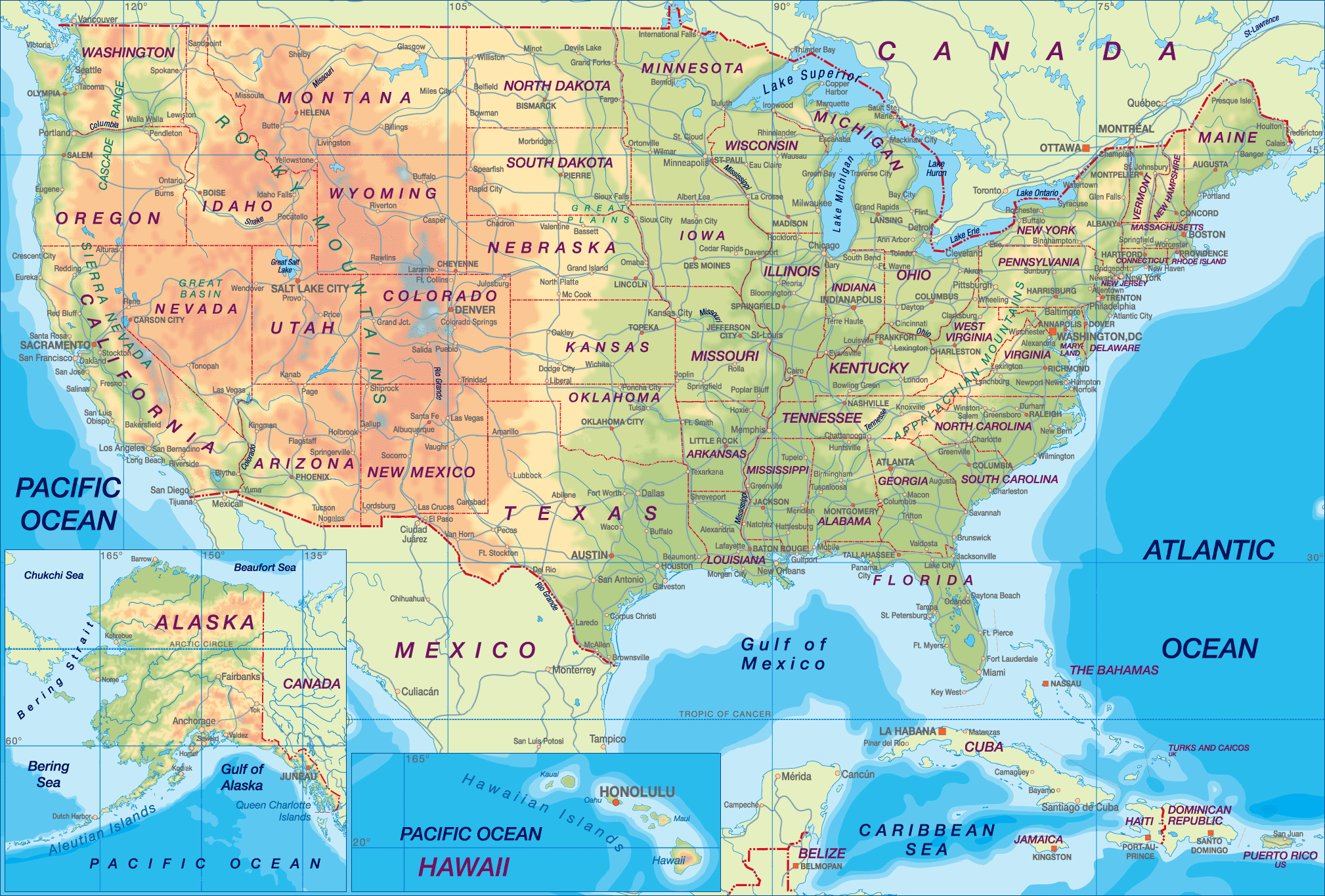
United States physical map with major cities interstate highways
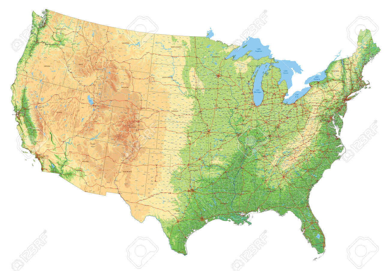
United States physical map with major cities
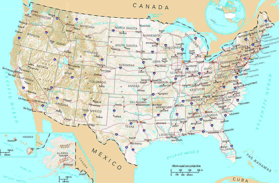
United States physical map with national borders
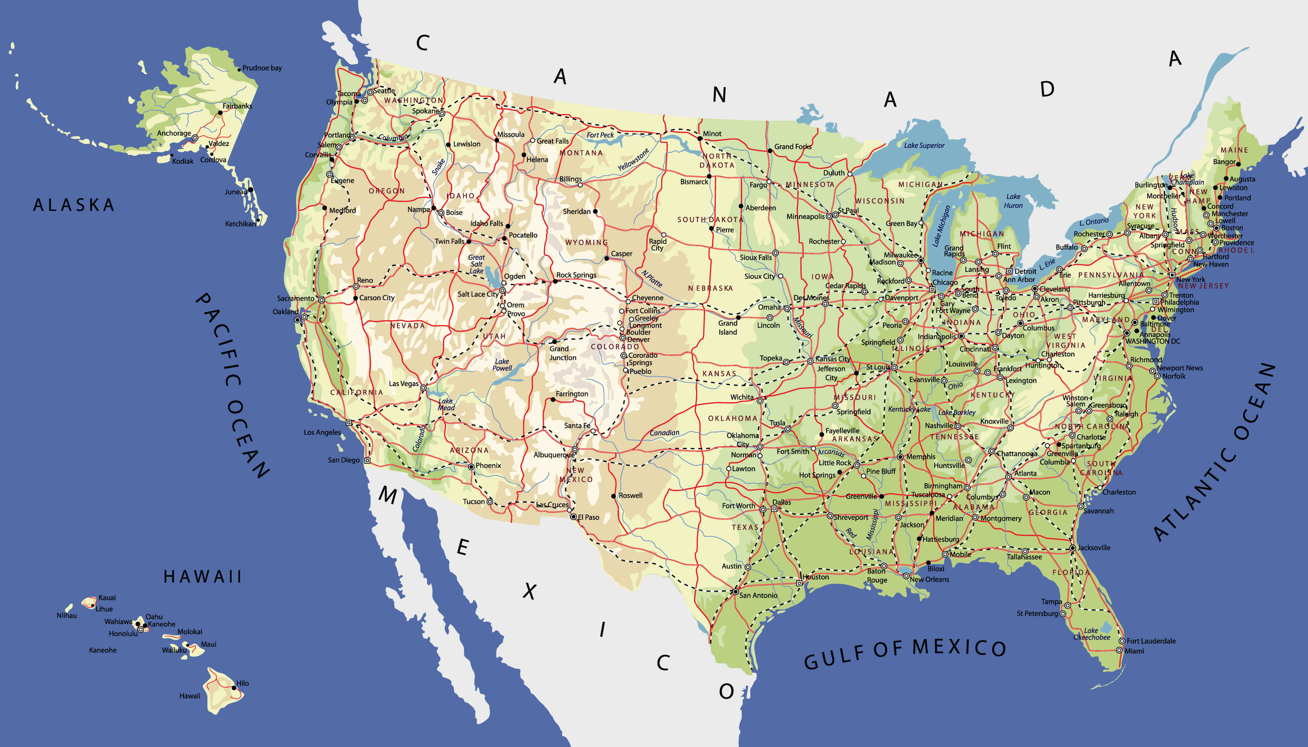
United States physical map with population and transportation
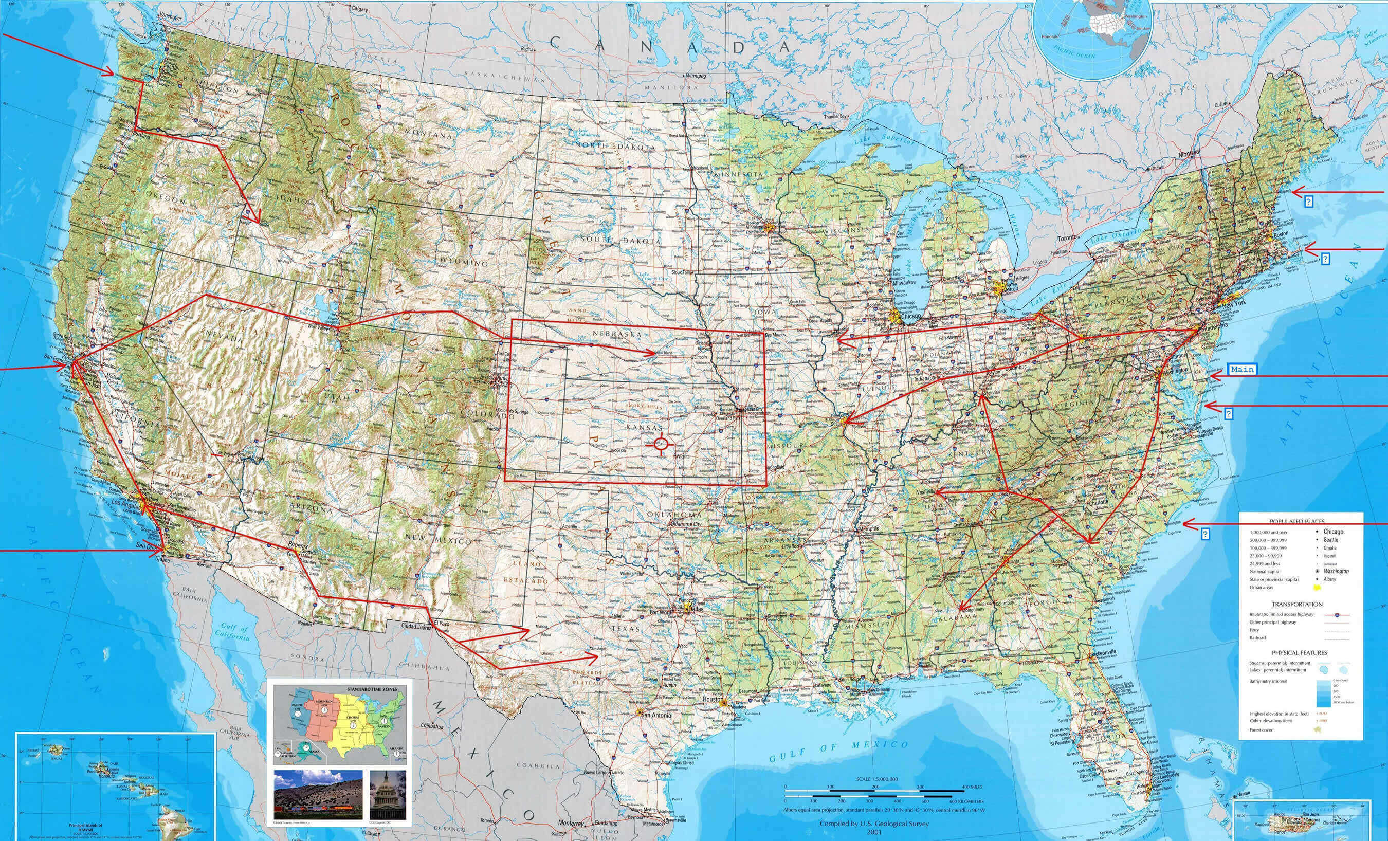
United States physical map with rivers and lakes
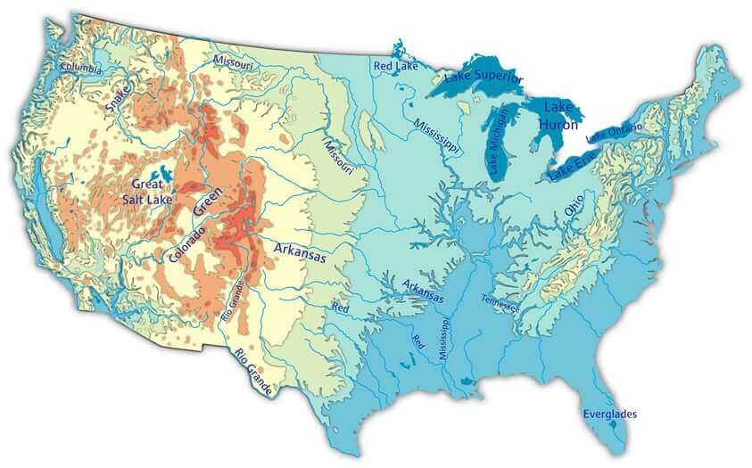
United States physical map
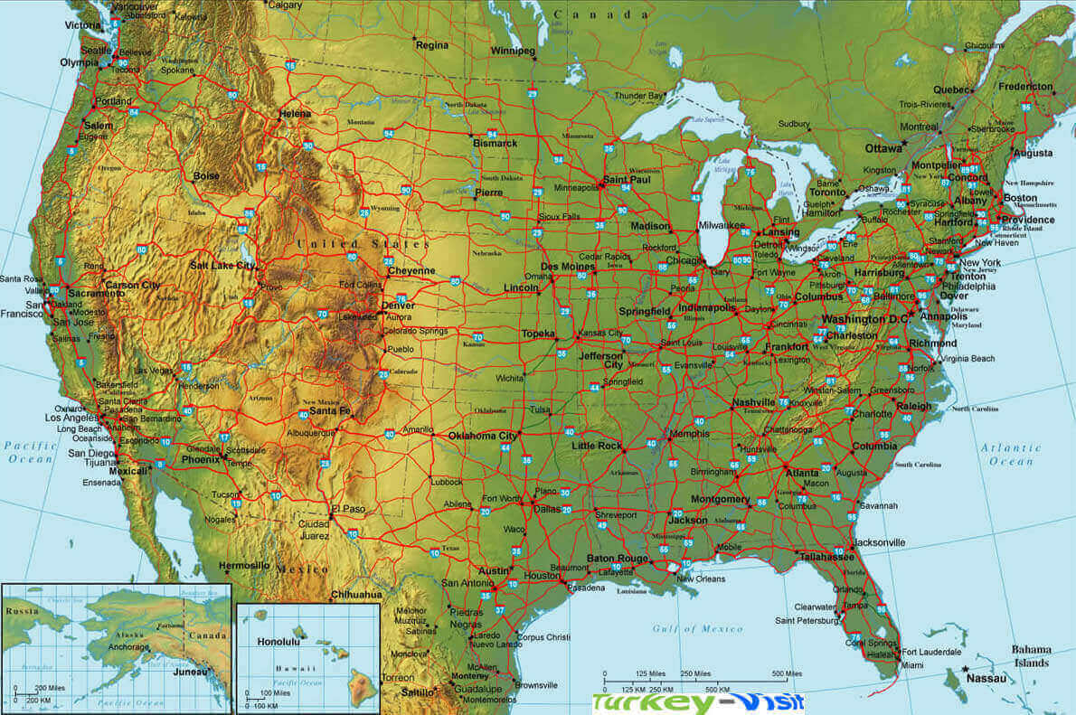
United States physical maps
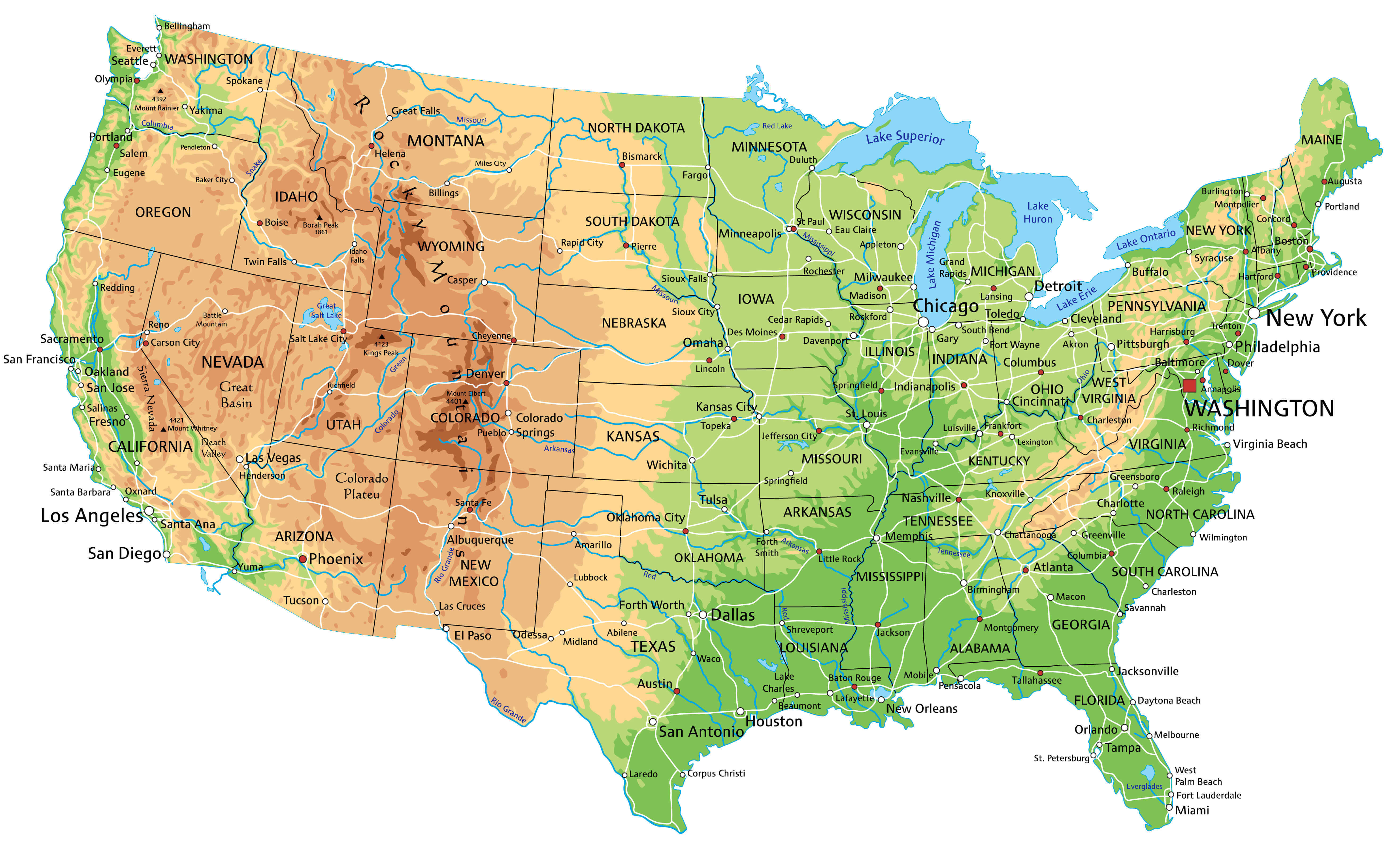
United States physical wall map with black frame
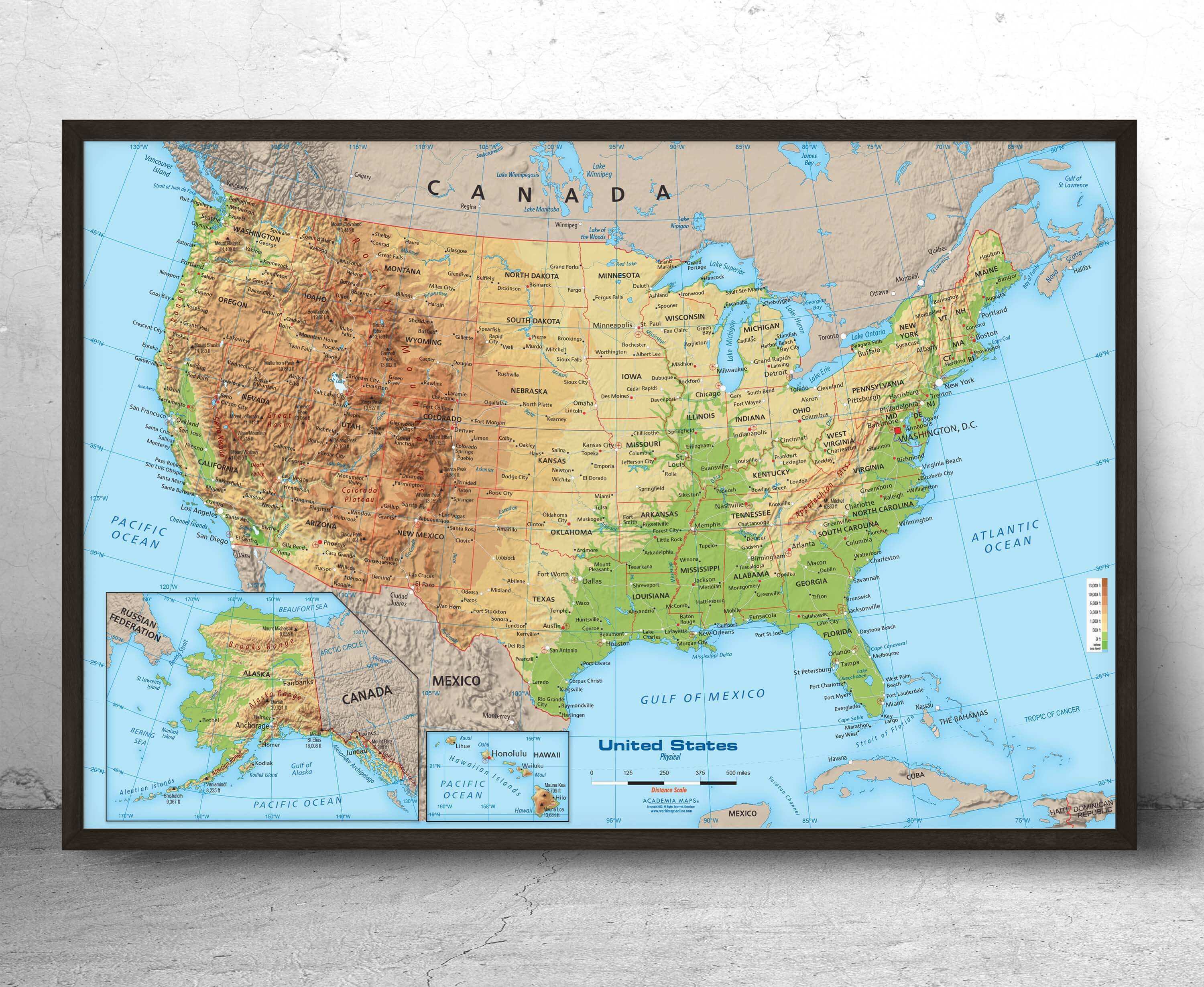
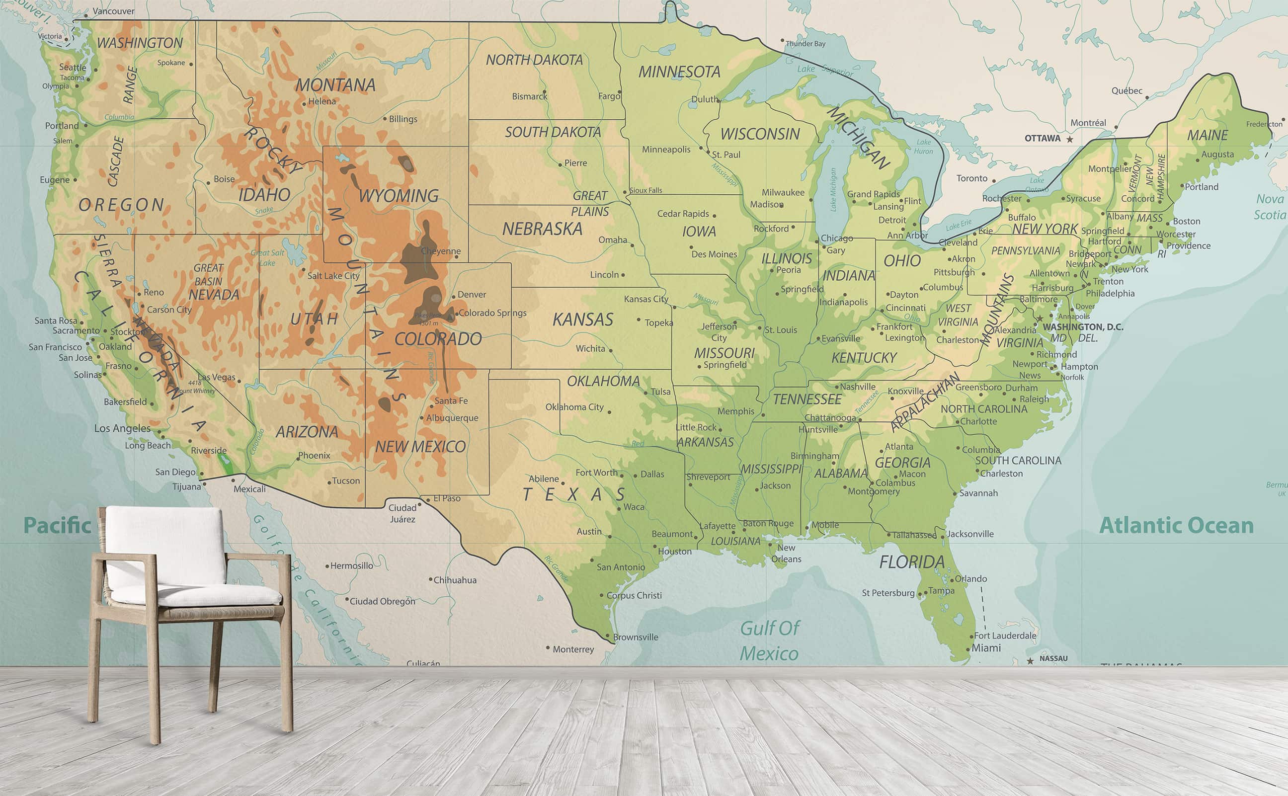
United States physical wallpaper map
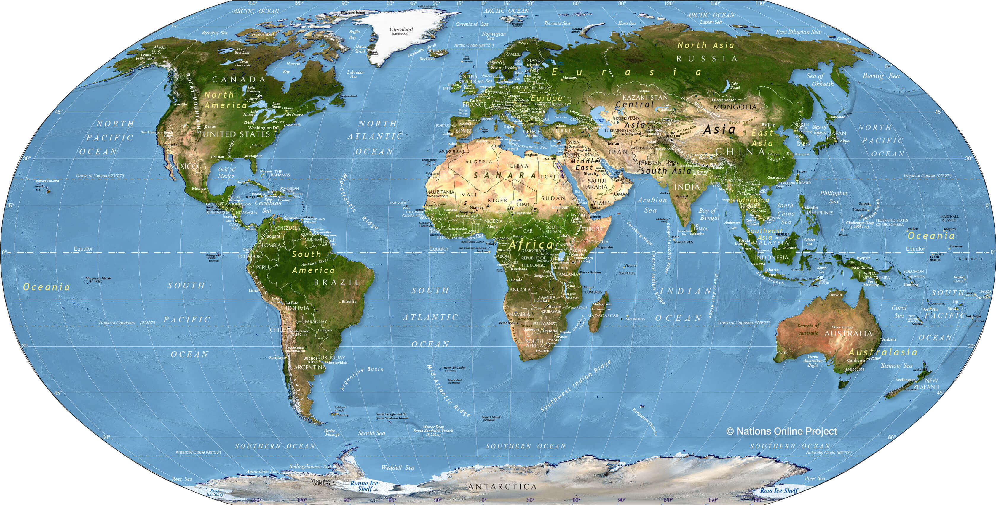
World and United States physical map
Feel free to explore these pages as well:

 Physical map of the United States showing shaded relief, rivers, cities, and state borders.
 United States physical map showing shaded relief with Alaska and Hawaii insets.
 Physical map of the United States showing land elevation and terrain features.


