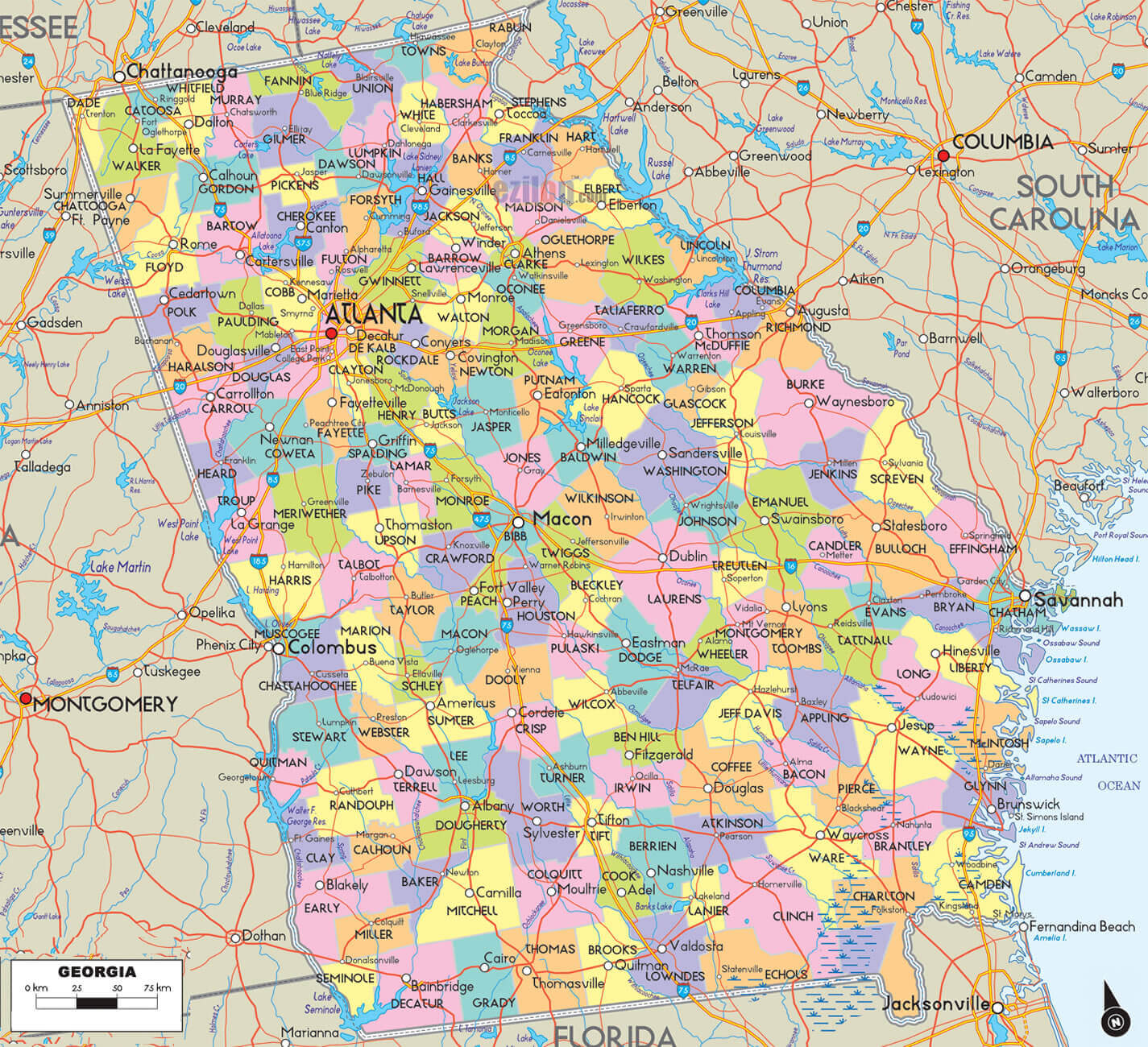
With interactive Georgia USA Map, view regional highways maps, road situations, transportation, lodging guide, geographical map, physical maps and more information. On Georgia USA Map, you can view all states, regions, cities, towns, districts, avenues, streets and popular centers' satellite, sketch and terrain maps.
A Collection of Georgia USA Maps and Georgia USA Satellite Images
map of Georgia USA

counties map georgia
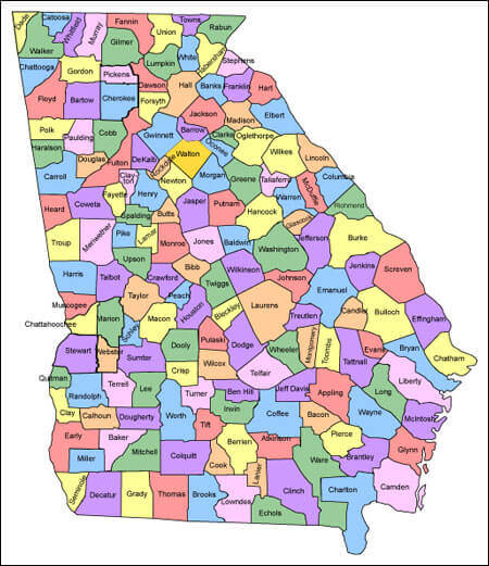
georgia county map
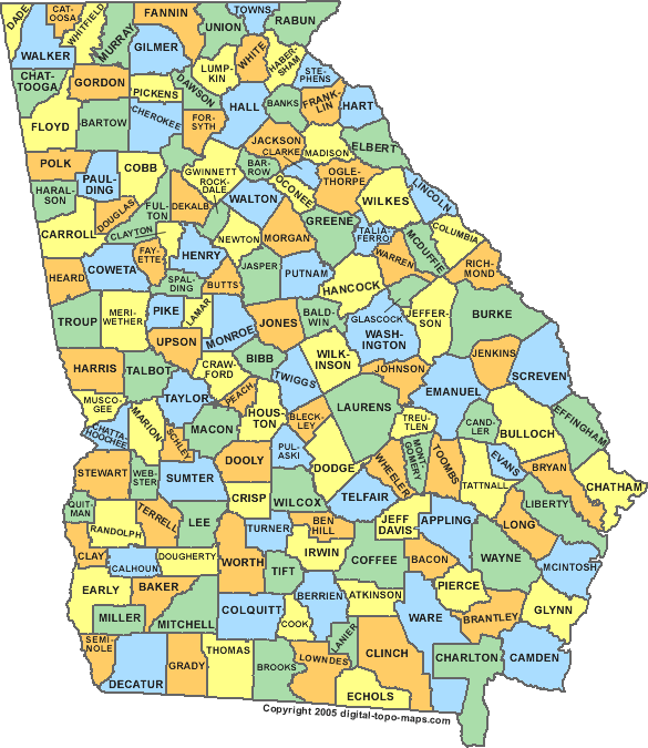
georgia county map

georgia map
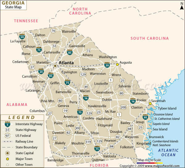
georgia road map
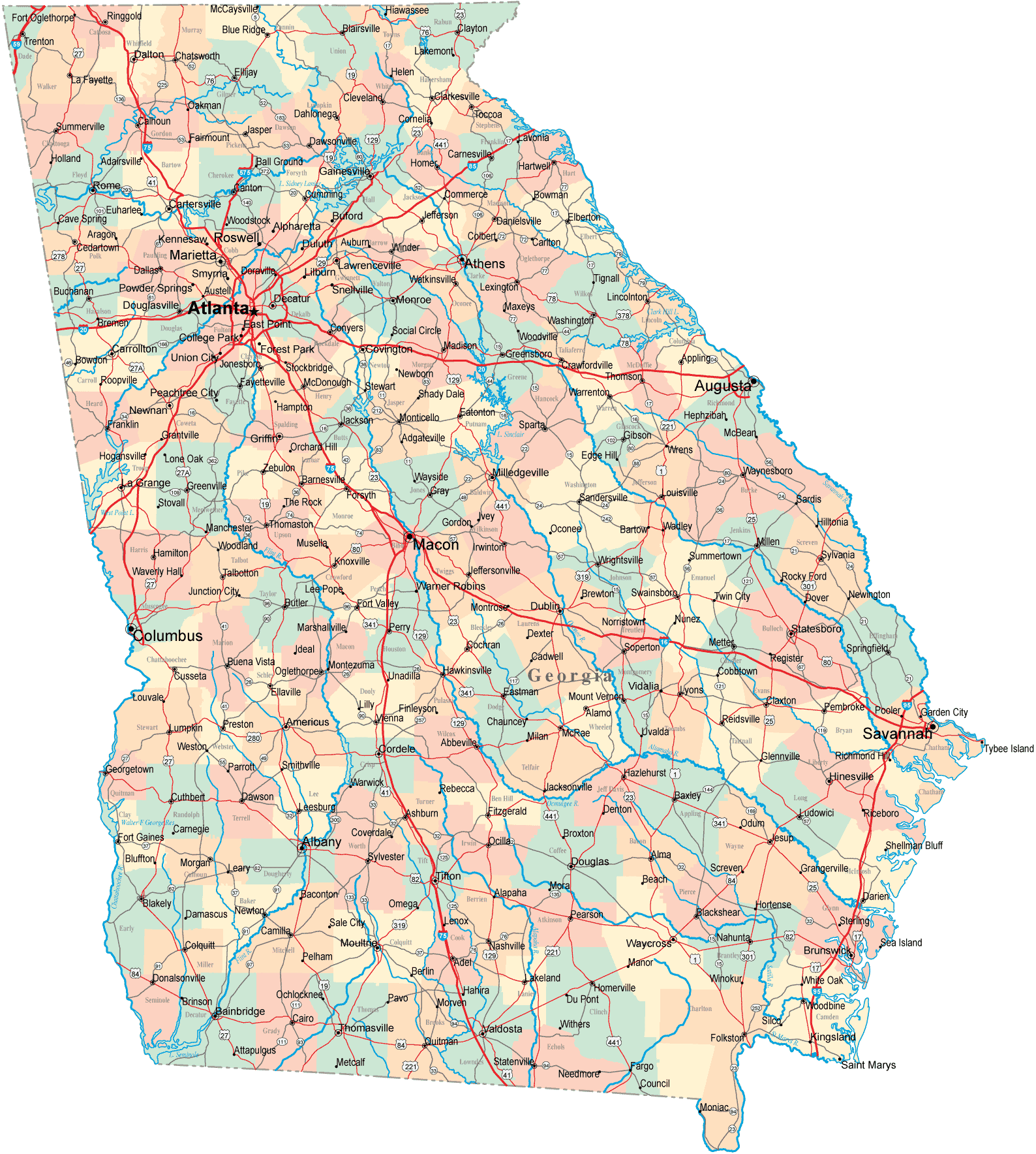
georgia state map
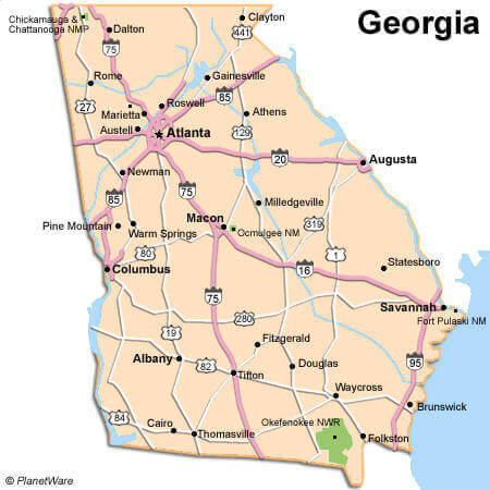
georgia county map
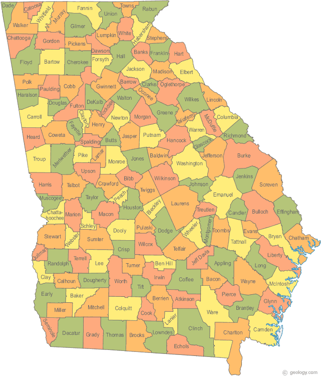
georgia map
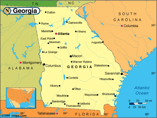
georgia physical map
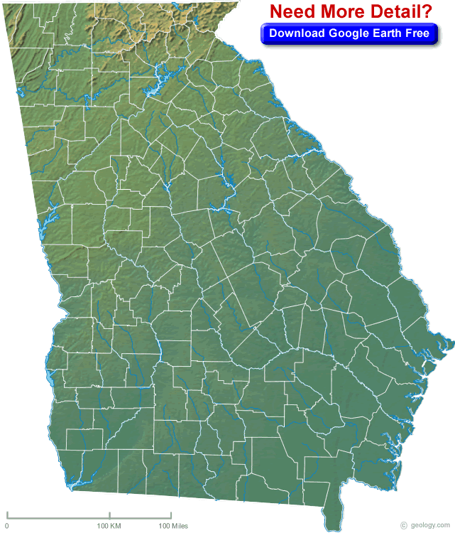
georgia political map

georgia river map
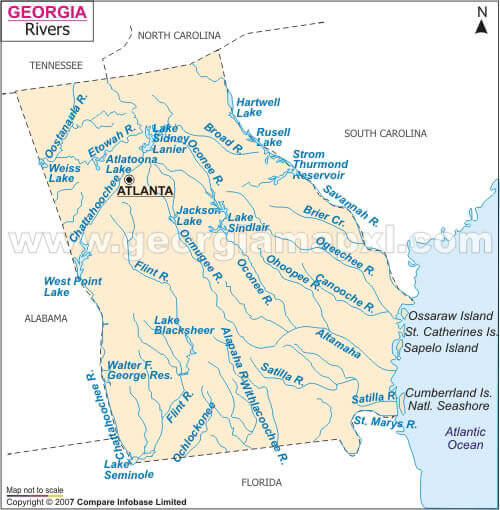
georgia state map
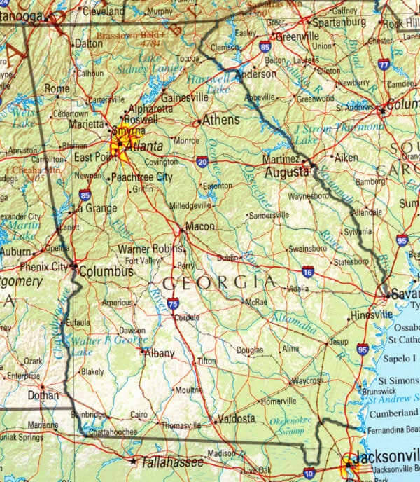
interstate 95 georgia map
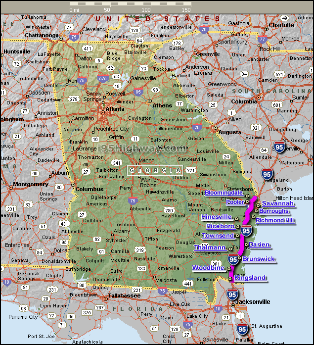
map of georgia
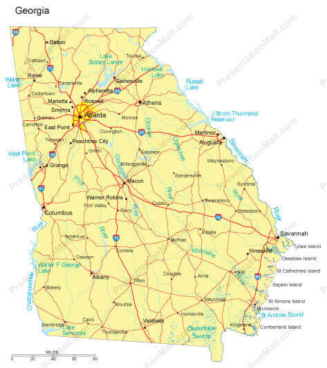
maps of georgia

road map of georgia
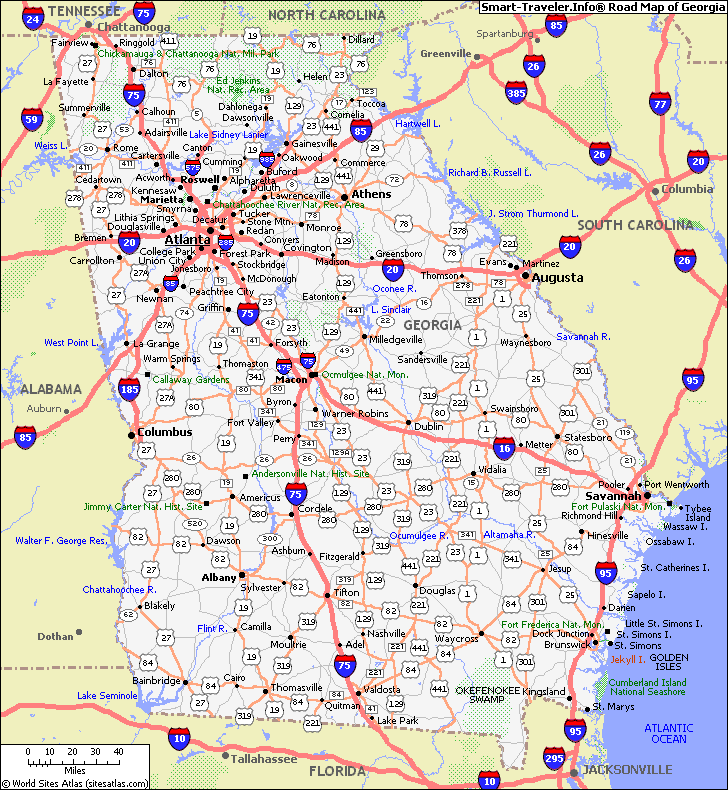
state map of georgia
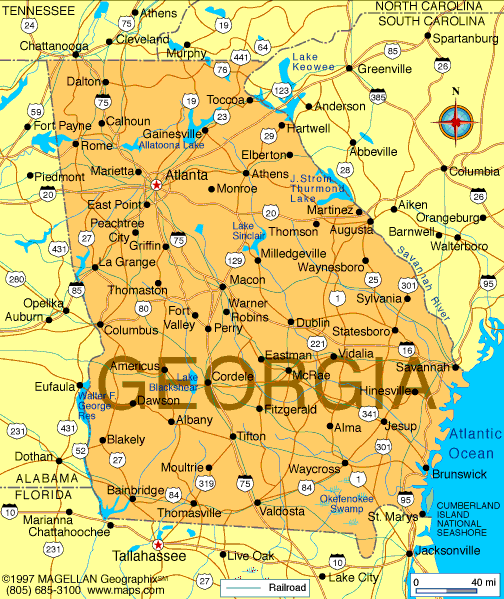
A collection of Georgia Maps
Georgia USA Maps
Largest Cities Map of Georgia USA and Population
- Atlanta Map - 420,003 - (33.749,-84.388)
- Augusta Map - 195,844 - (33.47424600000,-82.00967000000)
- Columbus Map - 189,885 - (32.461,-84.988)
- Savannah Map - 136,286 - (32.084,-81.1)
- Athens Map - 115,452 - (33.961,-83.378)
- Sandy Springs Map - 93,853 - (33.924,-84.379)
- Macon Map - 91,351 - (32.841,-83.632)
- Roswell Map - 88,346 - (34.023,-84.362)
- Albany Map - 77,434 - (31.579,-84.156)
- Johns Creek Map - 76,728 - (34.029,-84.199)
- Warner Robins Map - 66,588 - (32.621,-83.6)
- Alpharetta Map - 57,551 - (34.075376, -84.294090)
- Marietta Map - 56,579 - (33.952602, -84.549933)
- Valdosta Map - 54,518 - (30.832702, -83.278485)
- Smyrna Map - 51,271 - (33.883993, -84.514376)
- Dunwoody Map - 46,267 - (33.946213, -84.334647)
- North Atlanta Map - 40,456 - (33.865103, -84.336592)
- Mableton Map - 37,115 - (33.818717, -84.582433)
- Rome Map - 36,303 - (34.257038, -85.164673)
- Martinez Map - 35,795 - (33.517358, -82.075673)
Georgia USA Map FQA
How many cities are in Georgia USA ?
Georgia has 159 counties. The largest by population are: Fulton County; Gwinnett County; Cobb County; DeKalb County; Chatham County; Clayton County; Cherokee County; Henry County; Forsyth County; Hall County.
What are the major geographical features of Georgia USA ?