Louisville Kentucky Map
Navigate Louisville, Kentucky Map, map of Louisville, Louisville Kentucky regions map, Louisville satellite image, towns map, road map of Louisville.
Louisville Kentucky Map FQA
Can I download a high-resolution map of Louisville Kentucky ?
Yes. Download high-resolution political and physical maps of Louisville Kentucky for personal or educational use. Redistribution is subject to the terms of our license.Kentucky Map
States Map of USA
Map of Louisville Kentucky, Kentucky
Louisville map

A Collection of Louisville Kentucky Maps
LOUISVILLE MAP
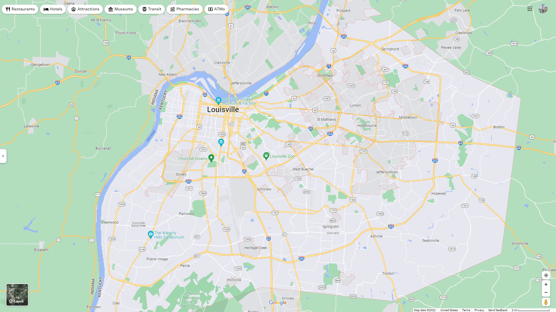
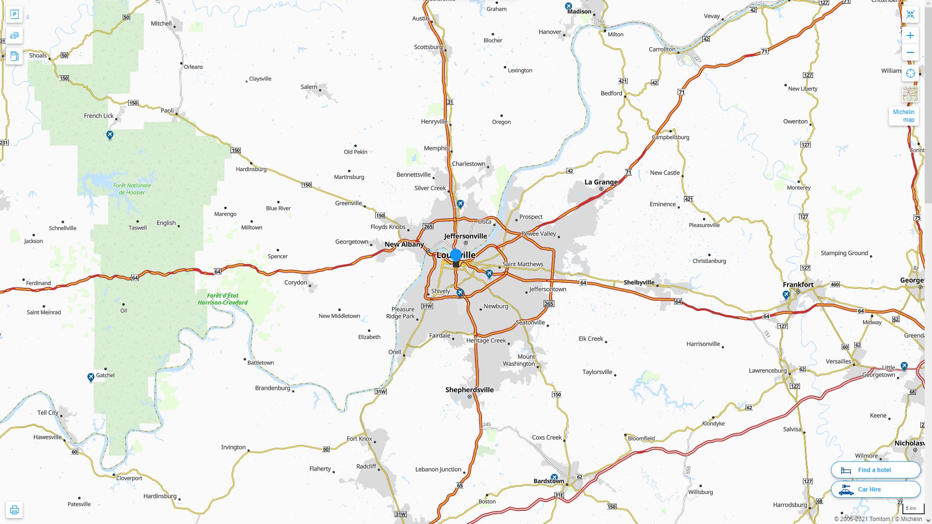
LOUISVILLE DETAILED MAP
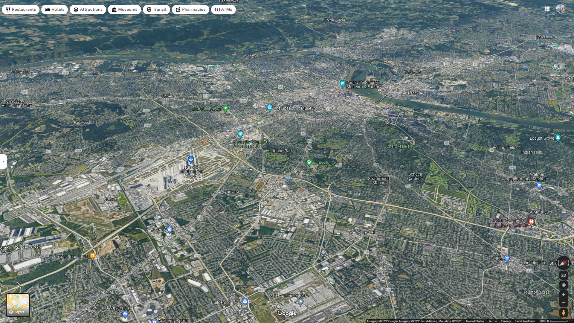
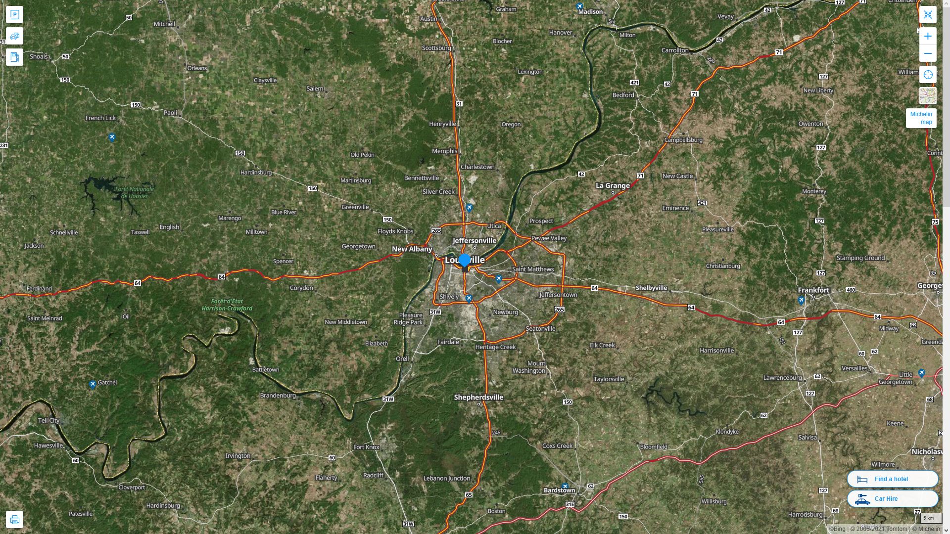
LOUISVILLE AERIAL MAP KENTUCKY
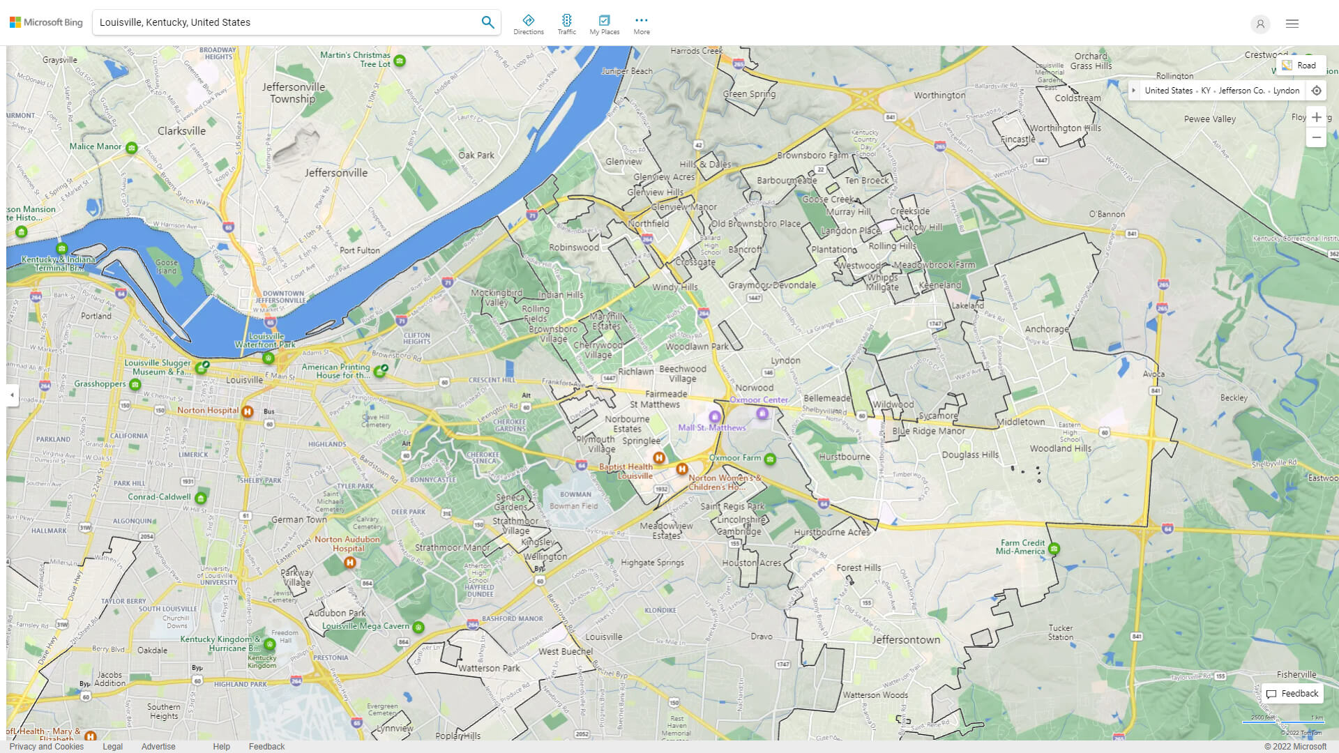
LOUISVILLE MAP KENTUCKY
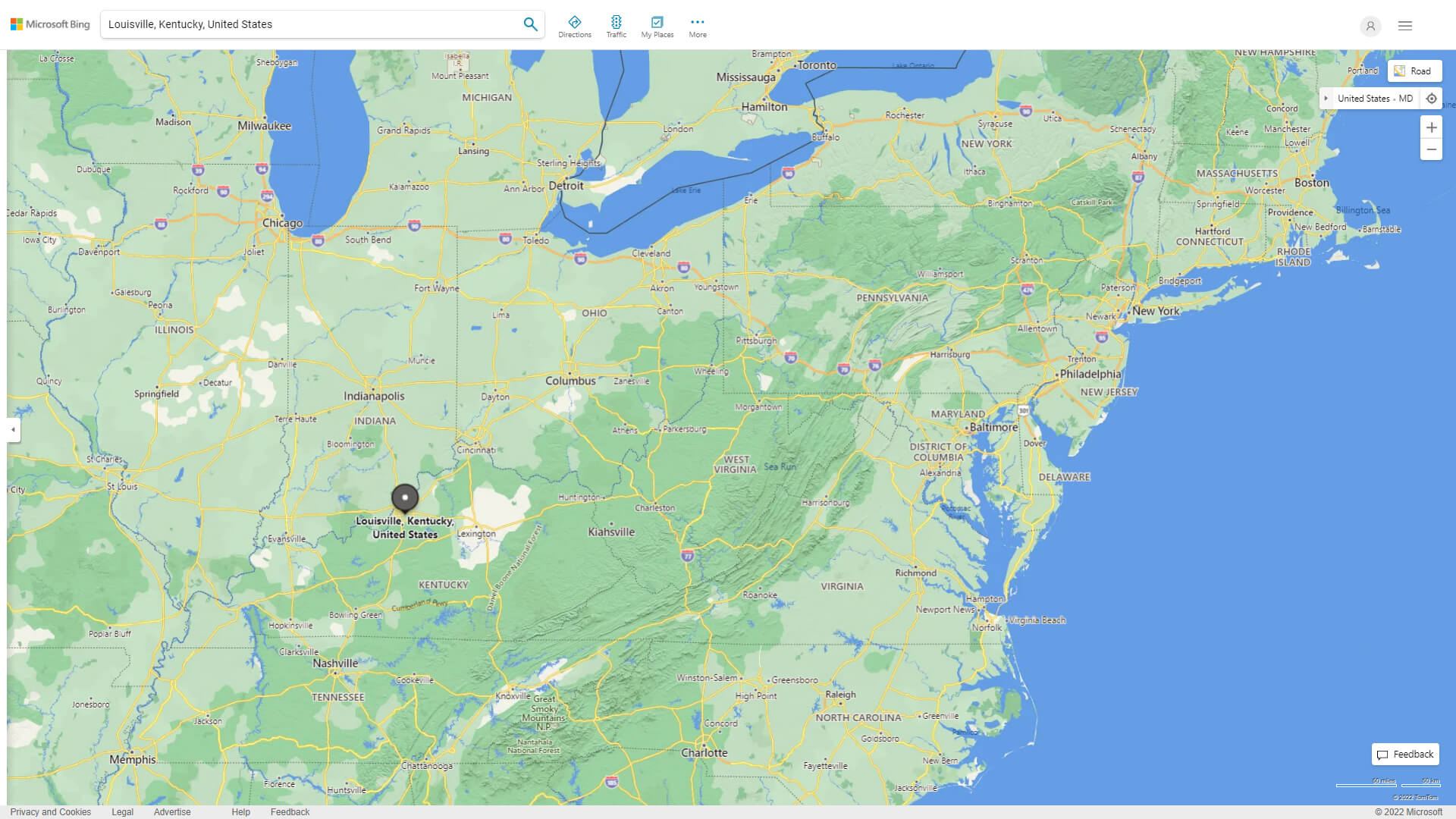
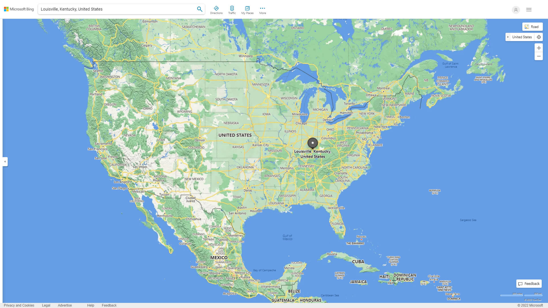
WHERE IS LOUISVILLE IN THE US
LOUISVILLE KENTUCKY HIGHWAY AND ROAD MAP WITH SATELLITE VIEW
LOUISVILLE KENTUCKY HIGHWAY AND ROAD MAP
Largest Kentucky Cities by Population
Louisville Map Lexington Fayette Map Bowling Green Map Owensboro Map Covington Map Hopkinsville Map Richmond Map Florence Map Georgetown Map Henderson Map Elizabethtown Map Nicholasville Map Jeffersontown Map Frankfort Map Paducah Map Mayfield MapFor all Kentucky Cities Map
Louisville Kentucky Google Map, Street Views, Maps Directions, Satellite Images
WorldMap1.com offers a collection of Louisville Kentucky map, google map, Louisville Kentucky atlas, political, physical, satellite view, country infos, cities map and more map of Louisville Kentucky.