New York Free Printable Map
Which are the largest cities in New York? What is the population of New York? Where to visit in New York? List of counties of New York.
New York Map with Albany, New York Map with Jersey City, New York Map with Neighborhood States, New York Map with Pennsylvania, New York Outline Map with Counties, New York Satellite Map, New York State Blank Map, New York State Map with Major Cities Map and more maps, photos, satellite images... What are the Largest Cities in the US and World by Population ?
US Largest Cities Map World Largest Cities Map 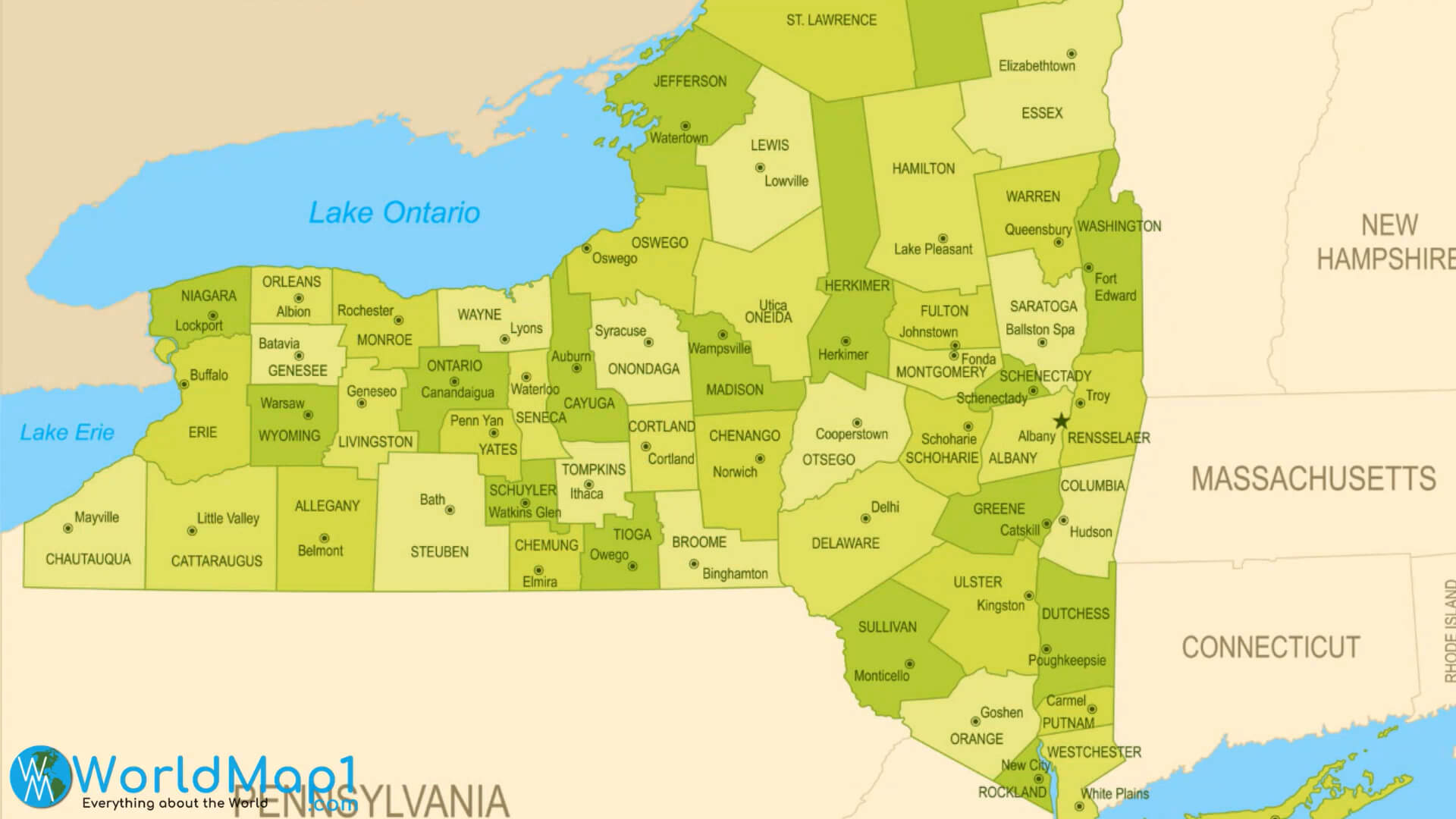
Where is New York in the US and Cities Map of New York
Please subscribe on "World Guide" channnel on Youtube at youtube.com/c/WorldGuide
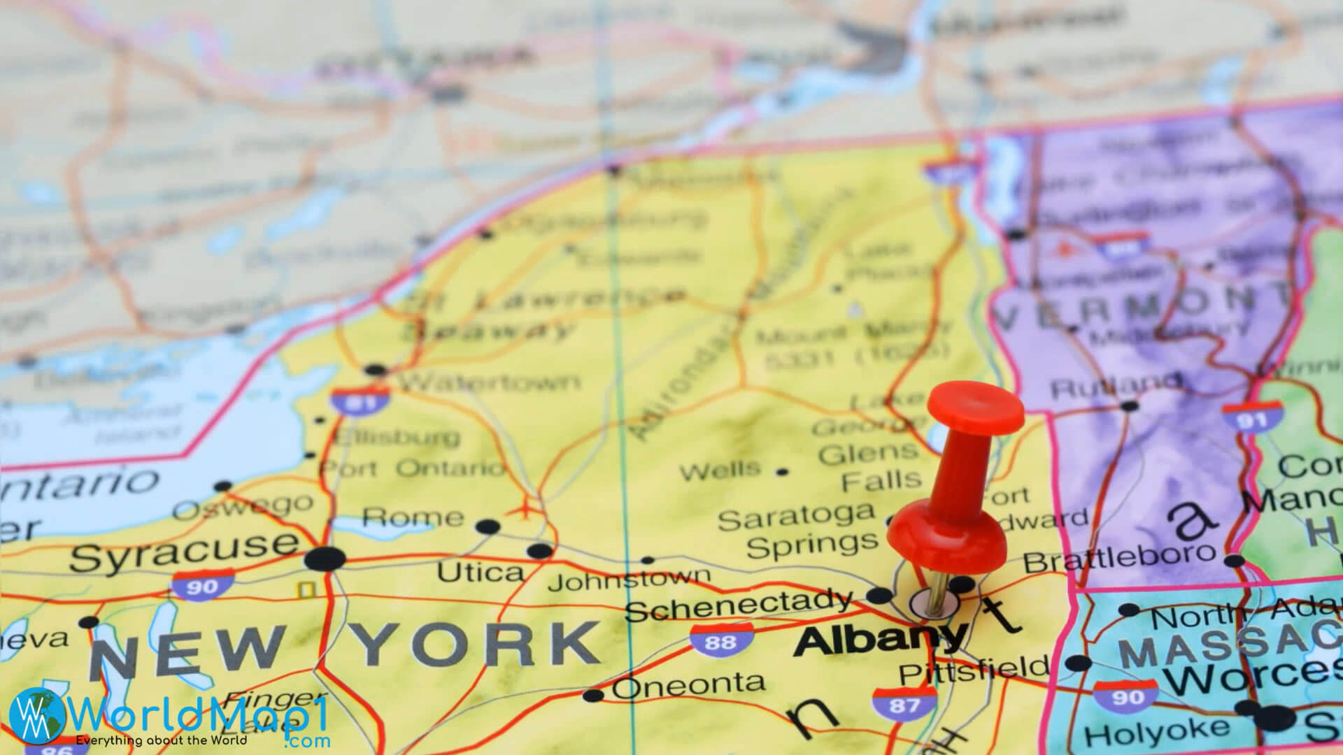
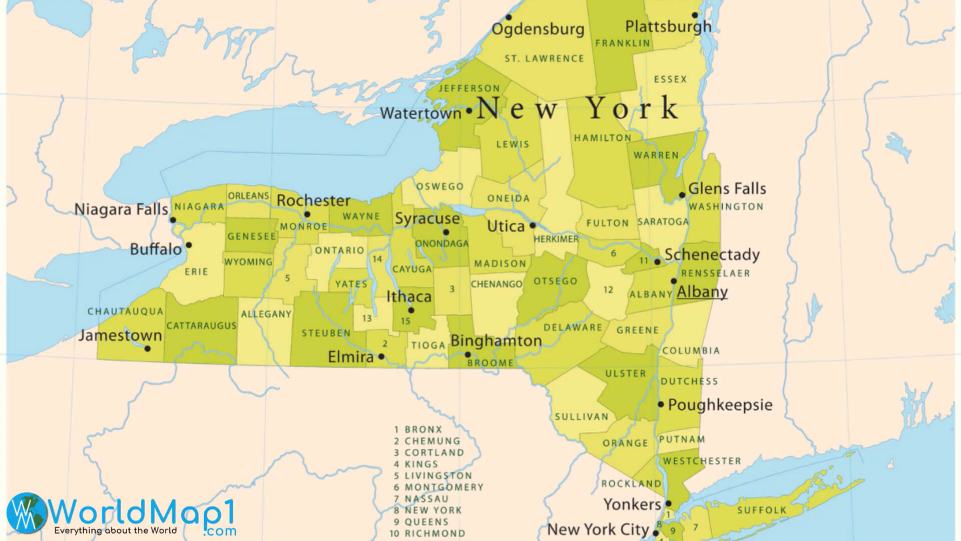
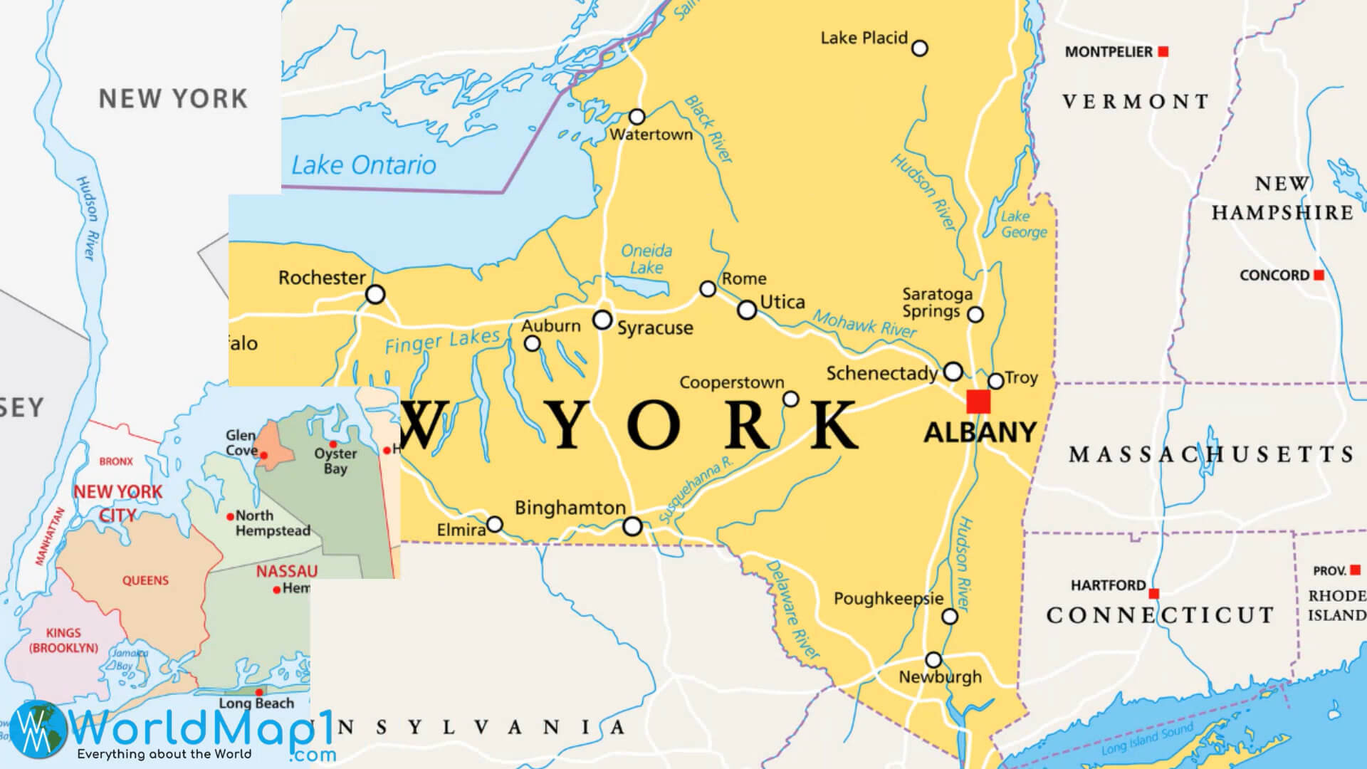
New York Map with Albany
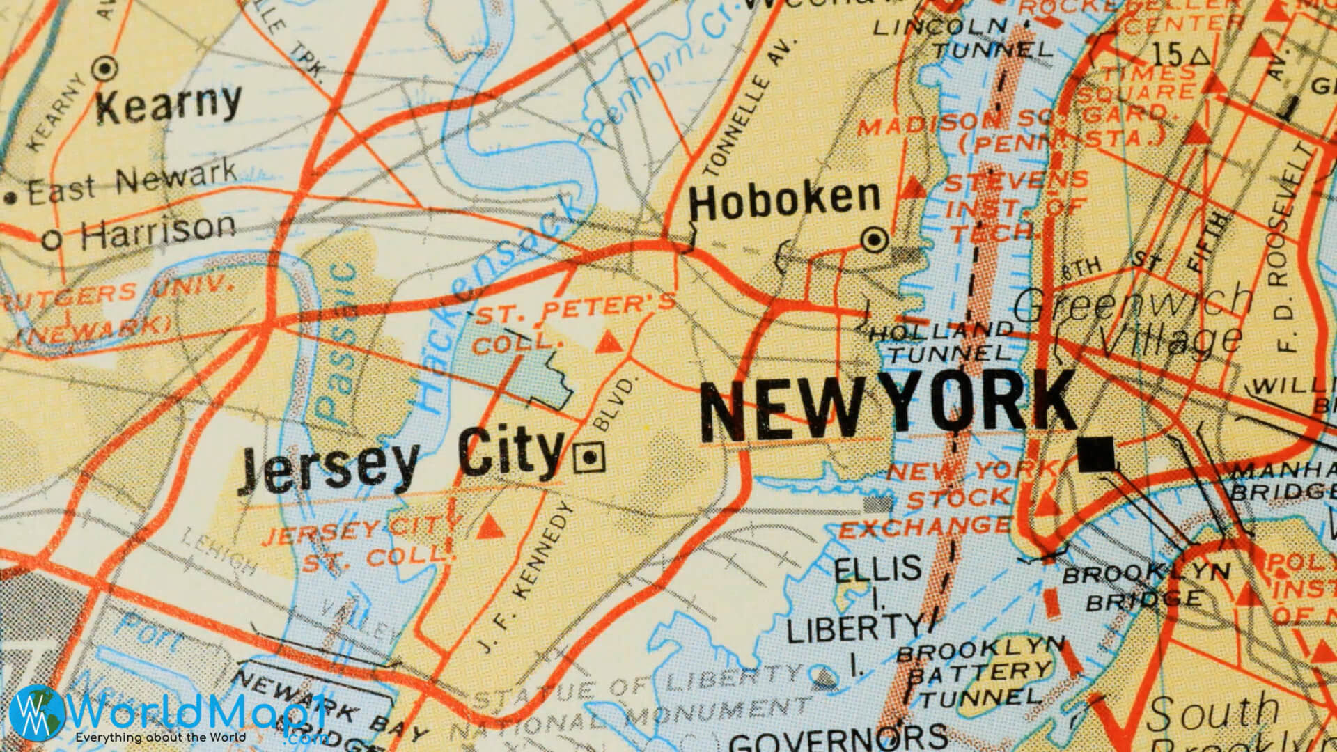
New York Map with Jersey City
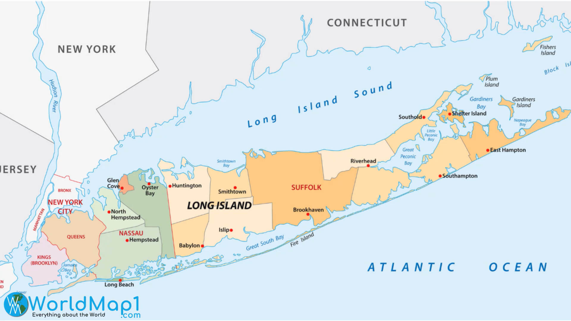
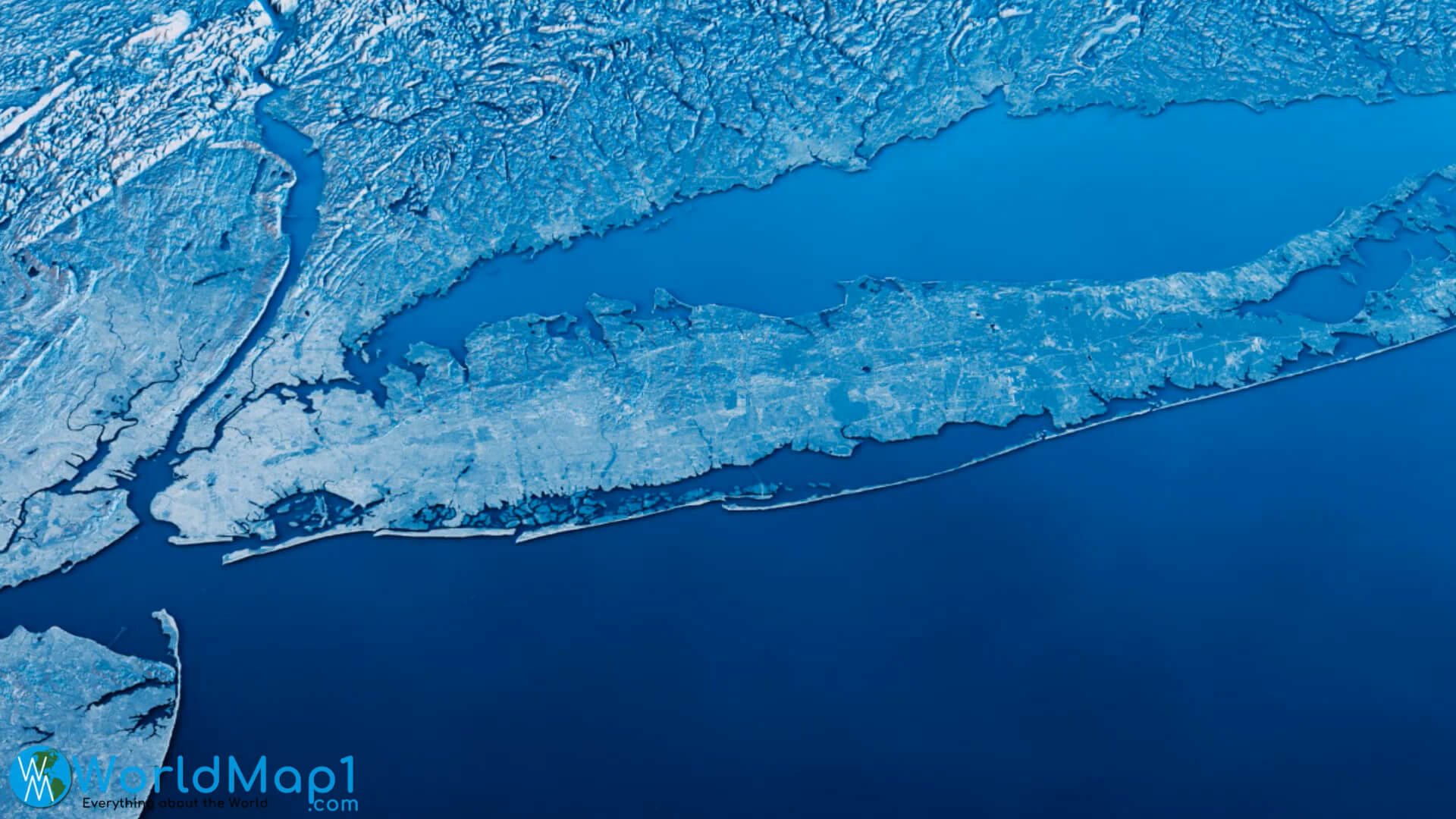
New York Map with Long Island
New York Map with Neighborhood States
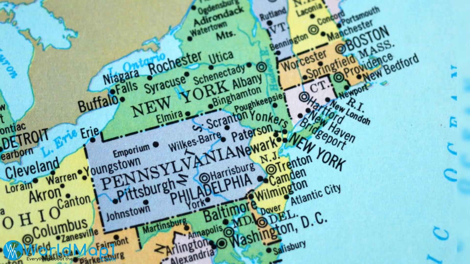
New York Map with Pennsylvania
Please view more New York Cities Aerial Views, Map and Photos
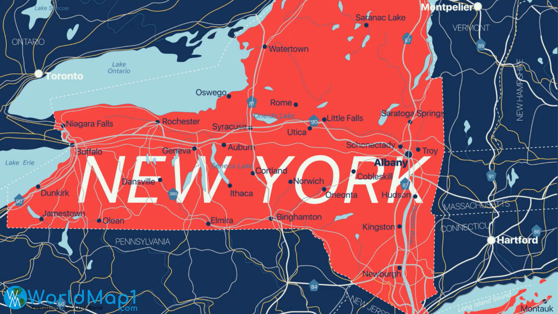
High Detailed New York Map
New York Free Printable Map
Where is Located New York in the US and Cities Map of New York
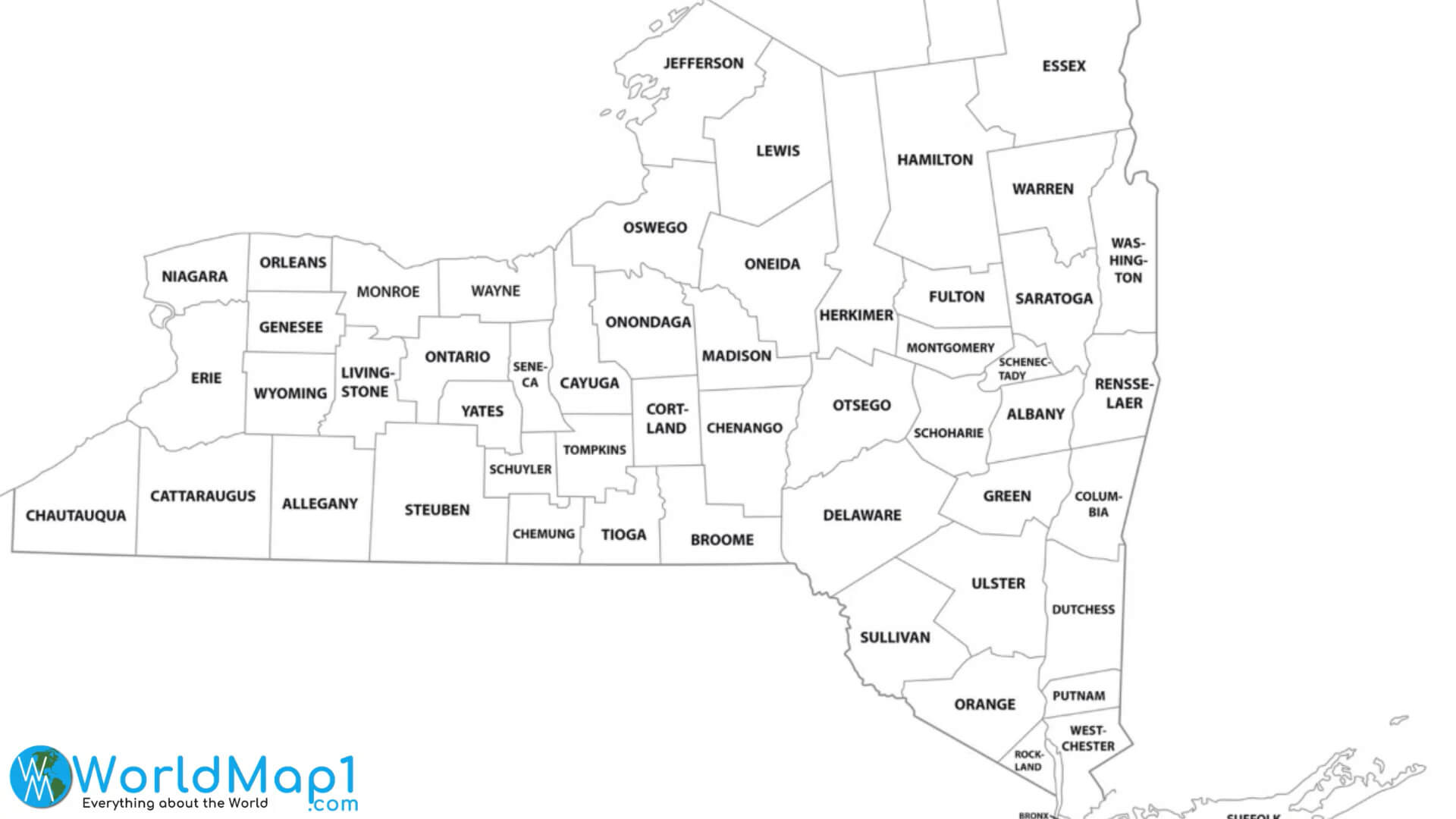
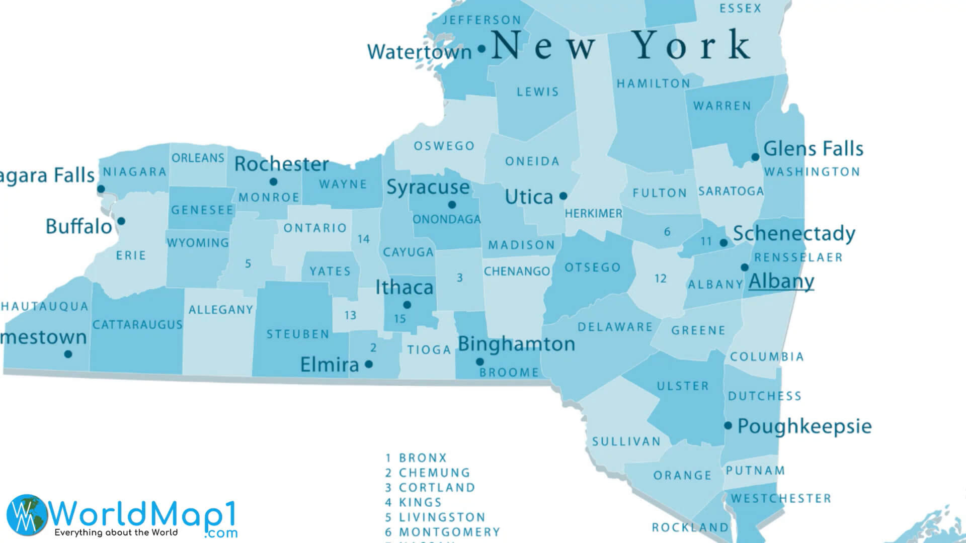
New York Outline Map with Counties
New York Satellite Map
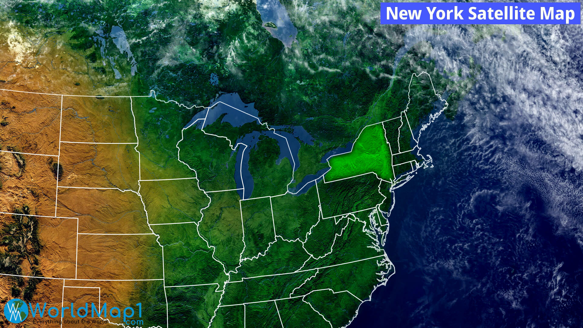
New York Satellite View Map
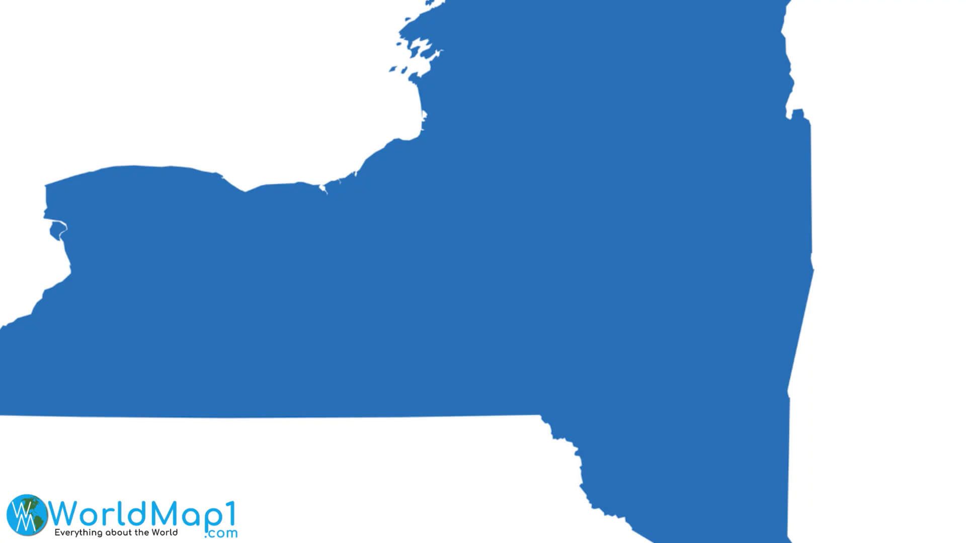
New York State Blank Map
New York State Counties Map
New York State Largest Cities Map
New York State Main Cities Map
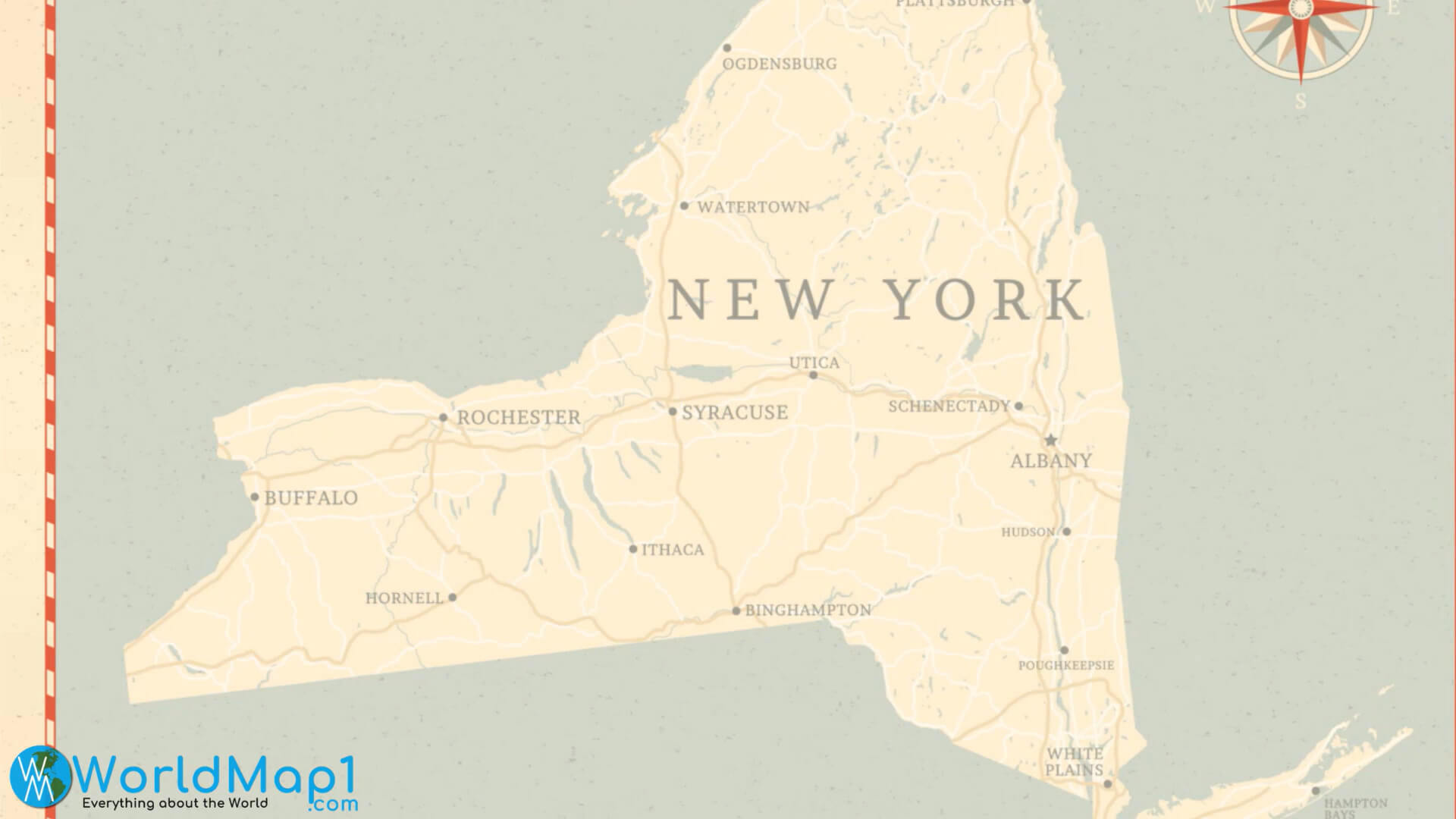
New York State Map with Main Cities
New York State Map with Major Cities Map
For More New York and United States Maps, Images
Author: Arif Cagrici