Where Is Mexico Located on the Map? Full Geographic Overview
Mexico is located in North America, directly south of the United States and bordered by Guatemala and Belize to the southeast. It has coastlines along both the Pacific Ocean and the Gulf of Mexico, as well as access to the Caribbean Sea, making it one of the most geographically diverse countries in the Western Hemisphere. Covering nearly 2 million square kilometers, Mexico connects North and Central America and plays a key economic and cultural role in the region. Understanding where Mexico is located helps explain its strategic position, varied landscapes, and its importance as a bridge between the Americas.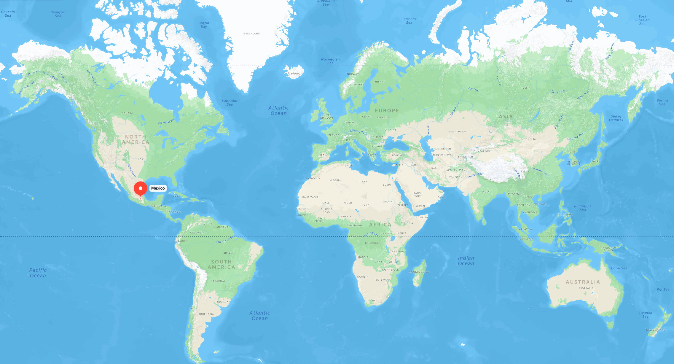
Where Is Mexico Located? (Complete Geographic Guide)
The Geographic Position of Mexico
Mexico is a vibrant country situated in the southern portion of North America. It serves as a natural land bridge connecting the United States to the north with the region of Central America to the south. Bordered by the Pacific Ocean to the west and the Gulf of Mexico and Caribbean Sea to the east, it boasts one of the most diverse coastlines in the world.
Borders and Coordinates
Geographically, Mexico is positioned between latitudes 14°N and 33°N and longitudes 86°W and 118°W. Its strategic location at the crossroads of the Americas has made it a historical center for trade and cultural exchange.
Mexico shares international land borders with three nations:
- North: The United States (sharing a nearly 2,000-mile border)
- Southeast: Guatemala and Belize
- West & South: Bound by the vast Pacific Ocean
- East: Bound by the Gulf of Mexico and the turquoise waters of the Caribbean
What Are the Main Regions of Mexico?
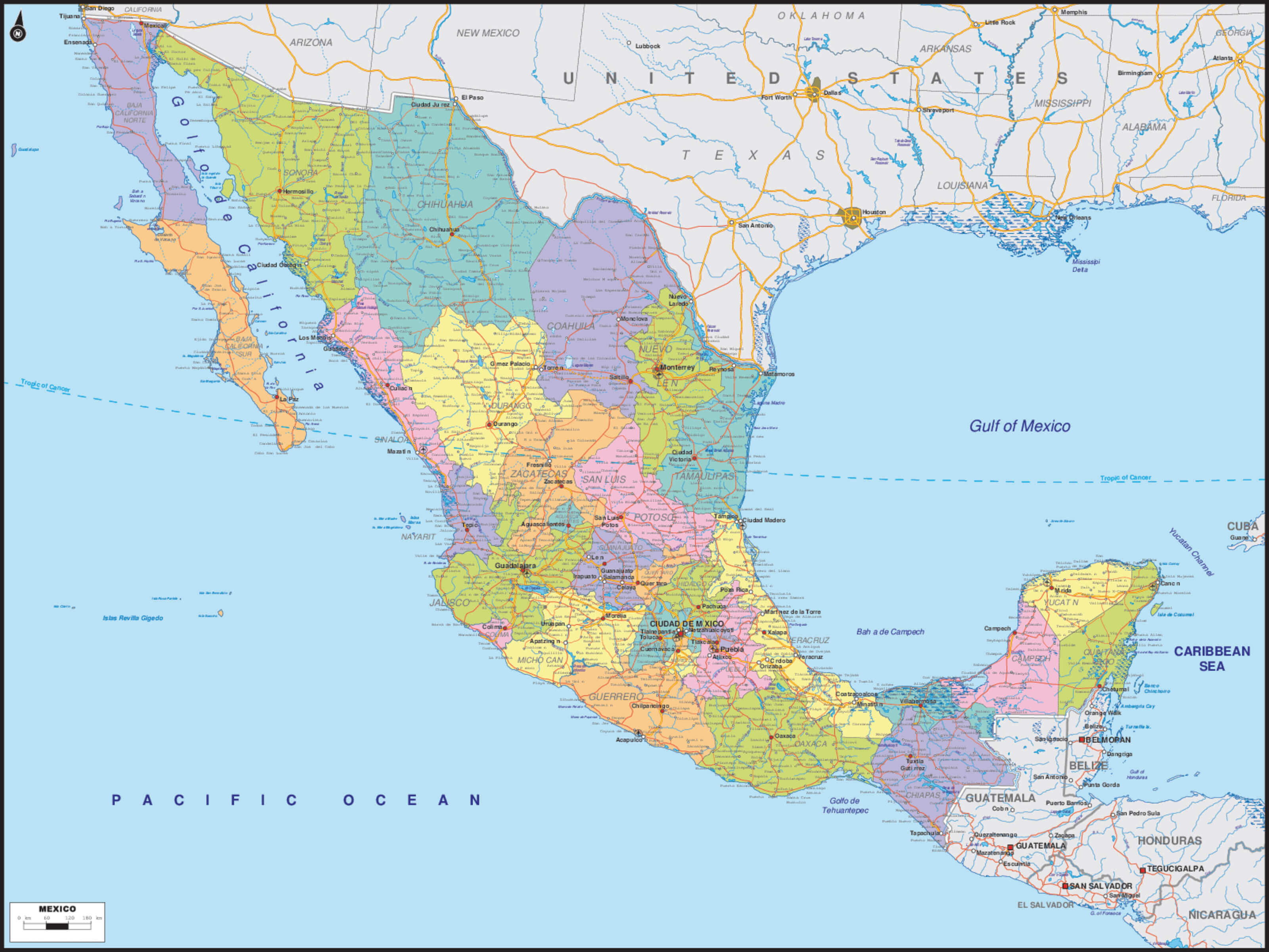
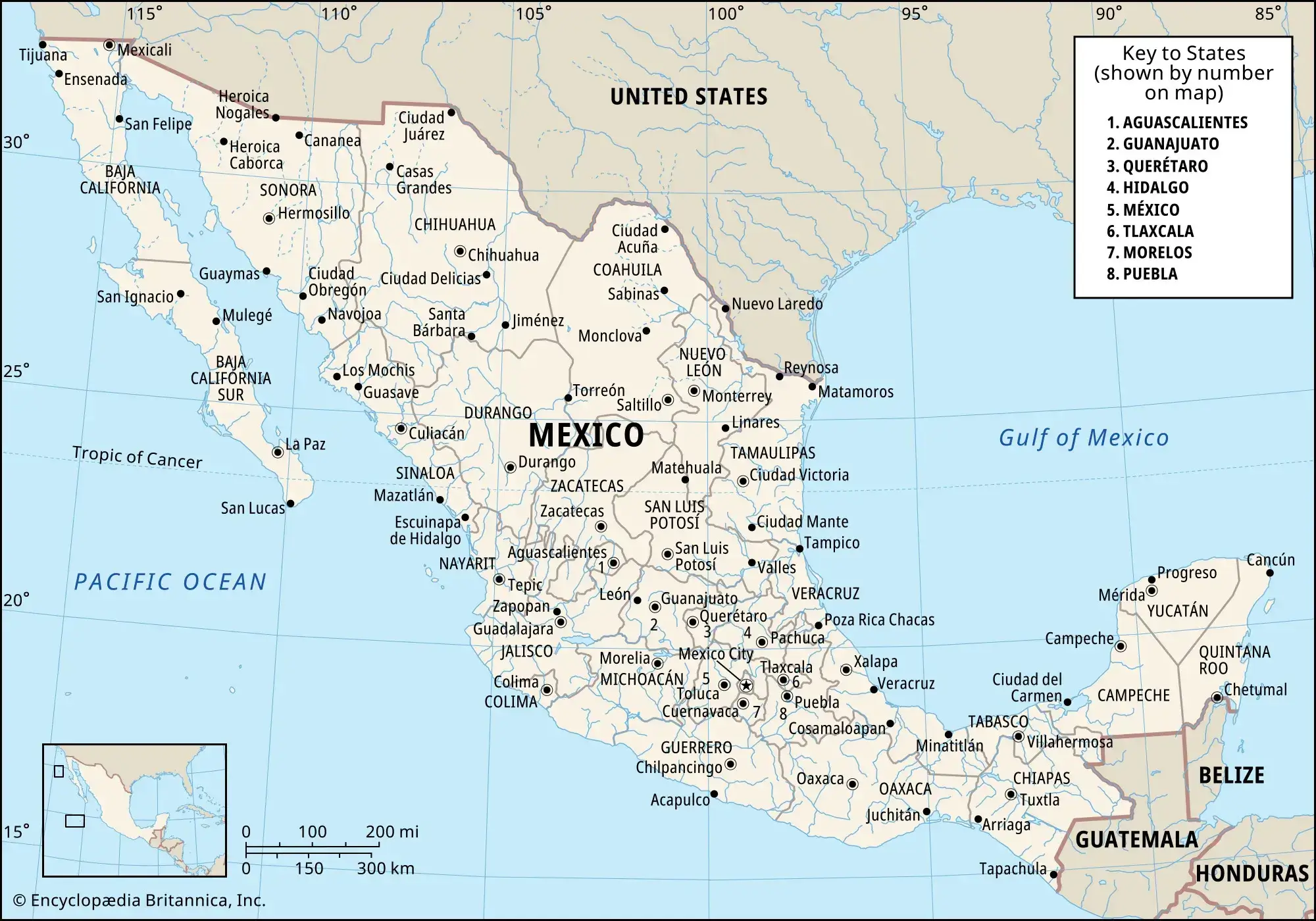
Mexico is a federal representative republic organized into 31 sovereign states and Mexico City, which serves as the nation's capital and a distinct federal entity.
The country is characterized by its dramatic topography, featuring the Sierra Madre mountain ranges, high central plateaus, and lush coastal plains. For geographic clarity, it is typically divided into five major zones:
- Northern Mexico: Known for its arid deserts and industrial strength.
- Central Mexico: The political and historical heartland, home to high-altitude valleys.
- Western Mexico: A region defined by volcanic landscapes and the Pacific coast.
- Southern Mexico: Rich in indigenous culture and dense tropical forests.
- Yucatán Peninsula: A flat limestone shelf famous for its Mayan ruins and Caribbean beaches.
What Are the 5 Largest Cities in Mexico?
Mexico's urban landscape is dominated by massive metropolitan areas that serve as engines for the Latin American economy:
- Mexico City – The nation's capital and a global financial and cultural megalopolis.
- Guadalajara – Often called the "Silicon Valley of Mexico," it is a major hub for technology and traditional arts.
- Monterrey – A modern industrial powerhouse located near the U.S. border, famous for its mountainous backdrop.
- Puebla – A colonial-era gem renowned for its gastronomy, baroque architecture, and automotive industry.
- Tijuana – One of the busiest border cities in the world, acting as a vital link between the economies of Mexico and California.
Quick Facts About Mexico
| Official Name: | United Mexican States (Estados Unidos Mexicanos) |
|---|---|
| Area: | 1,964,375 km² |
| Capital: | Mexico City (Ciudad de México) |
| Population: | ~129 million (approx.) |
| Currency: | Mexican Peso (MXN) |
| GDP: | ~US$1.6 trillion (nominal, approx.) |
| Per Capita: | ~US$12,000 (nominal, approx.) |
| Time Zone: | Multiple (UTC-8 to UTC-5; varies by region and season) |
| Calling code: | +52 |
| Internet TLD: | .mx |
The Strategic Significance of Mexico’s Location
Mexico’s geographical placement serves as a vital bridge between North and Central America. This unique position, combined with extensive coastlines along the Pacific Ocean and the Gulf/Caribbean, establishes the nation as a global powerhouse for international trade and maritime shipping. Beyond commerce, Mexico's diverse latitudes create a biological sanctuary, supporting everything from arid northern deserts to southern tropical rainforests, making it a premier destination for global tourism and ecological research.
Frequently Asked Questions
Is Mexico considered part of North America?
Yes, Mexico is geographically and geopolitically located in North America, sharing its northern border with the United States.
Which nations share a land border with Mexico?
Mexico is bordered by the United States to the north, and Guatemala and Belize to the southeast.
Does Mexico touch both the Atlantic and Pacific?
Yes. While it technically borders the Gulf of Mexico and the Caribbean Sea on its eastern side (both part of the Atlantic basin), it has an expansive coastline along the Pacific Ocean to the west.
What is the official capital of Mexico?
The capital and largest economic center is Mexico City (Ciudad de México), a high-altitude federal entity.
How is the Mexican government organized territorially?
The United Mexican States is a federal republic comprised of 31 sovereign states and Mexico City, which holds a special status as a federal entity.
Feel free to explore these pages as well:
- Head of Performance Marketing
- Head of SEO
- Linkedin Profile: linkedin.com/in/arifcagrici