Canada Maps: Explore Provinces, Territories, and Geographic Regions
Canada Maps features a comprehensive collection of detailed and visually rich maps designed to help users explore Canada's geography, political divisions, and natural landscapes. This collection includes a Canada blank outline map, Canada detailed vector map, and Canada geographic location map, making it a valuable resource for education, travel planning, and geographic analysis. These maps provide a clear understanding of Canada's borders, provinces, and its location within North America.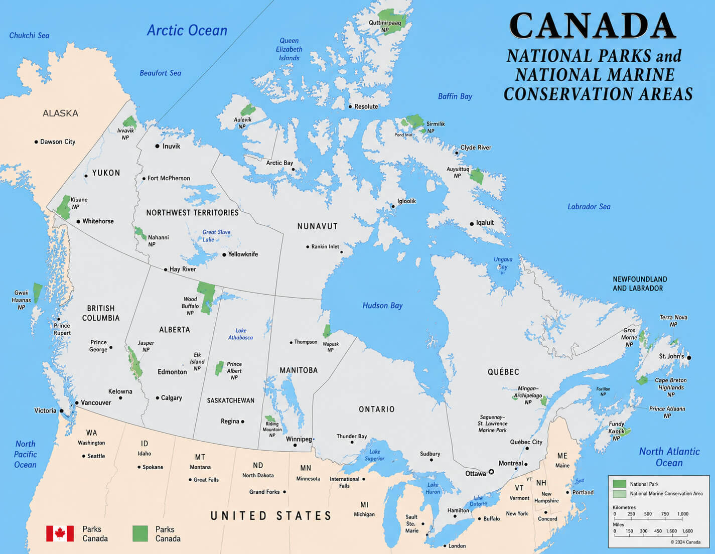
Canada detailed road network map
Canada national parks map
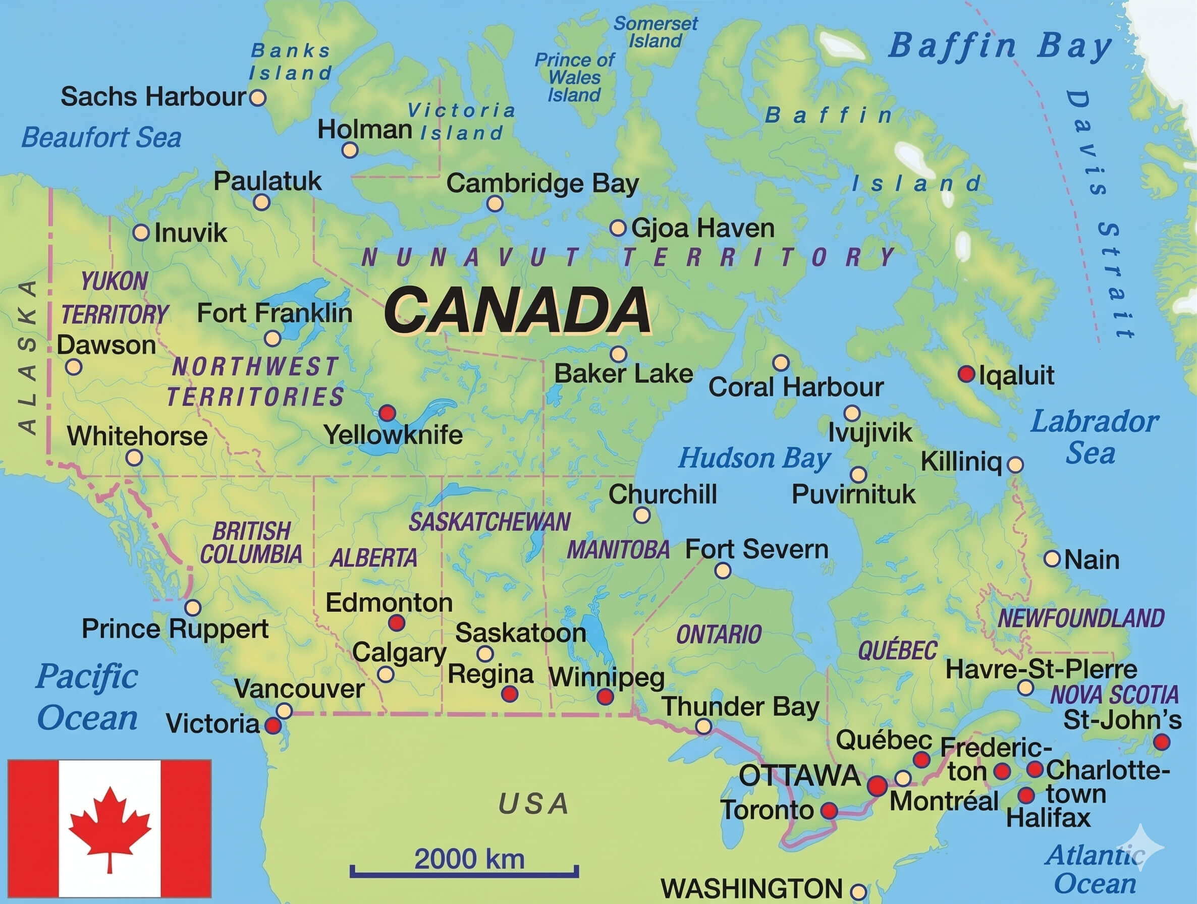
Canada major cities map with flag
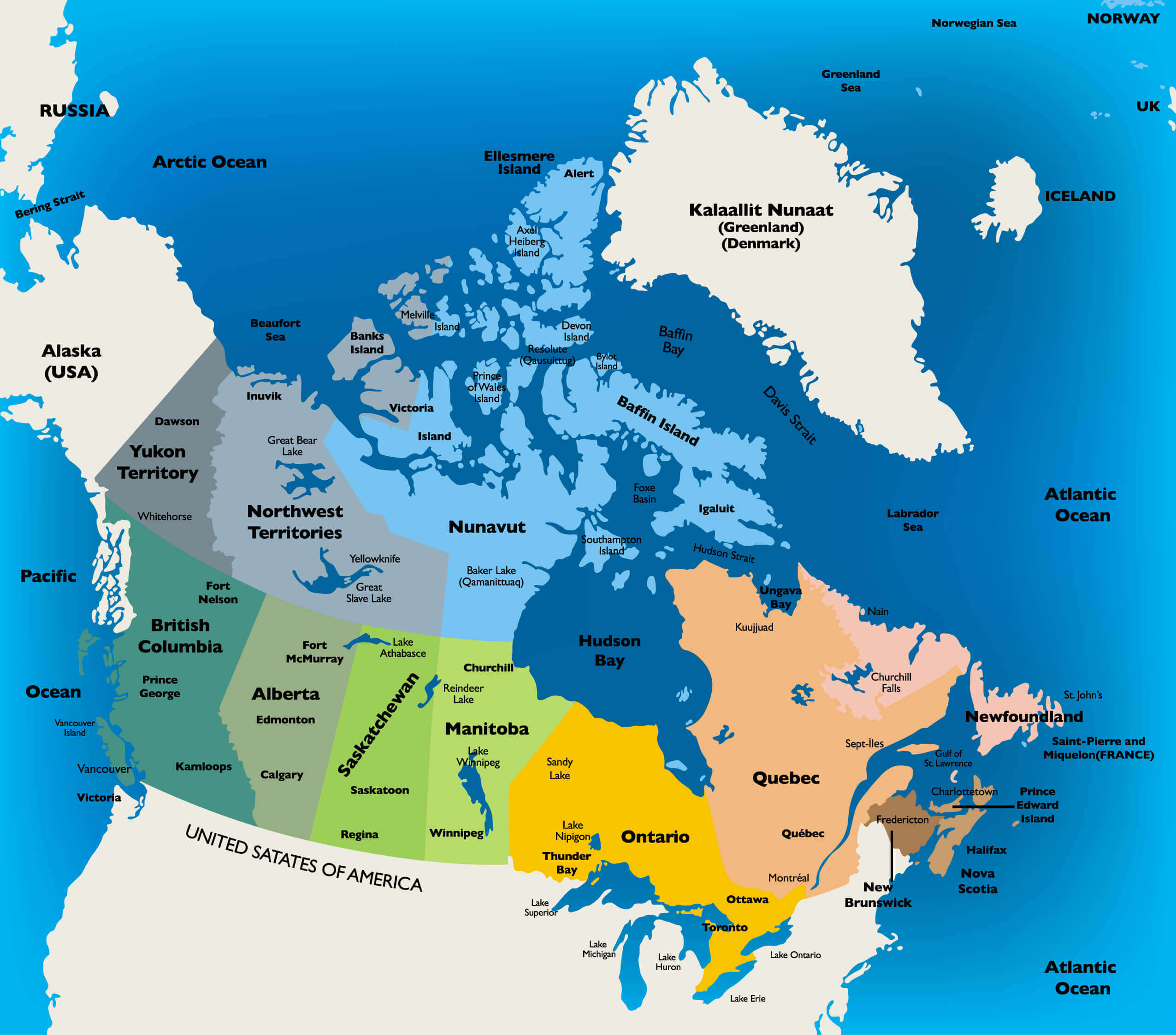
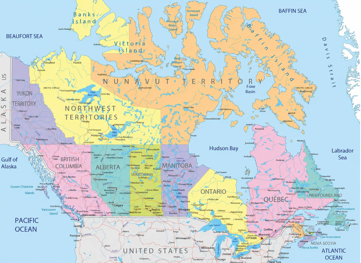
The collection also features a Canada provinces and territories map, Canada reference political map, and Canada regions map, offering a clear overview of Canada’s administrative divisions and regional boundaries. For more in-depth geographic study, you can access a Canada relief and topographic map, Canada satellite Earth view map, and Canada territorial boundaries map. In addition, the Canada USA border states map highlights Canada’s connection with neighboring U.S. states, while the Canada world trade agreements map provides insights into Canada’s international economic relationships, making this collection a valuable resource for students, travelers, and map enthusiasts alike.
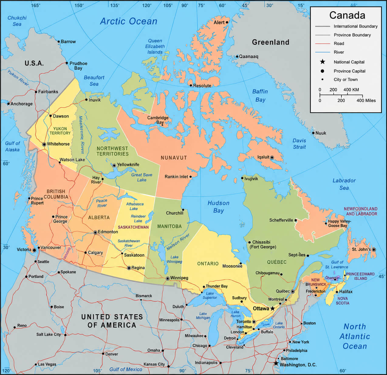
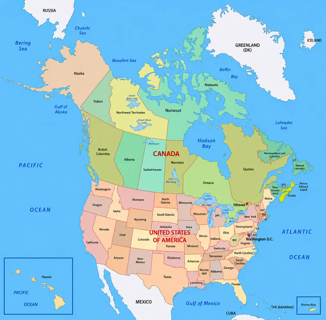
Canada administrative divisions map with US
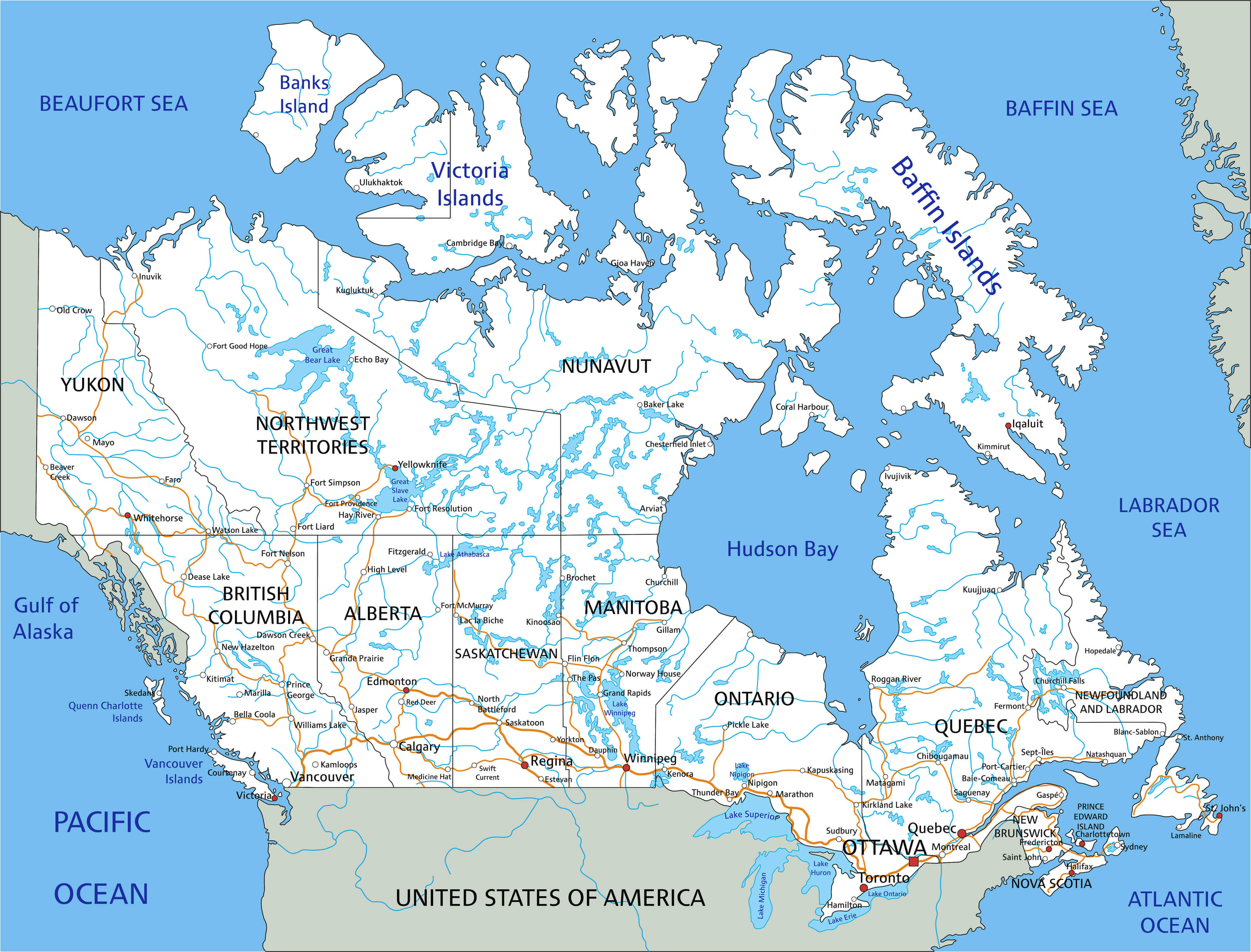
Canada country map with rivers
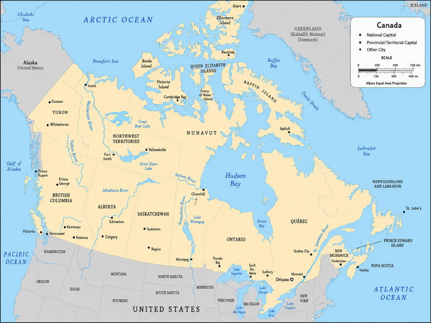
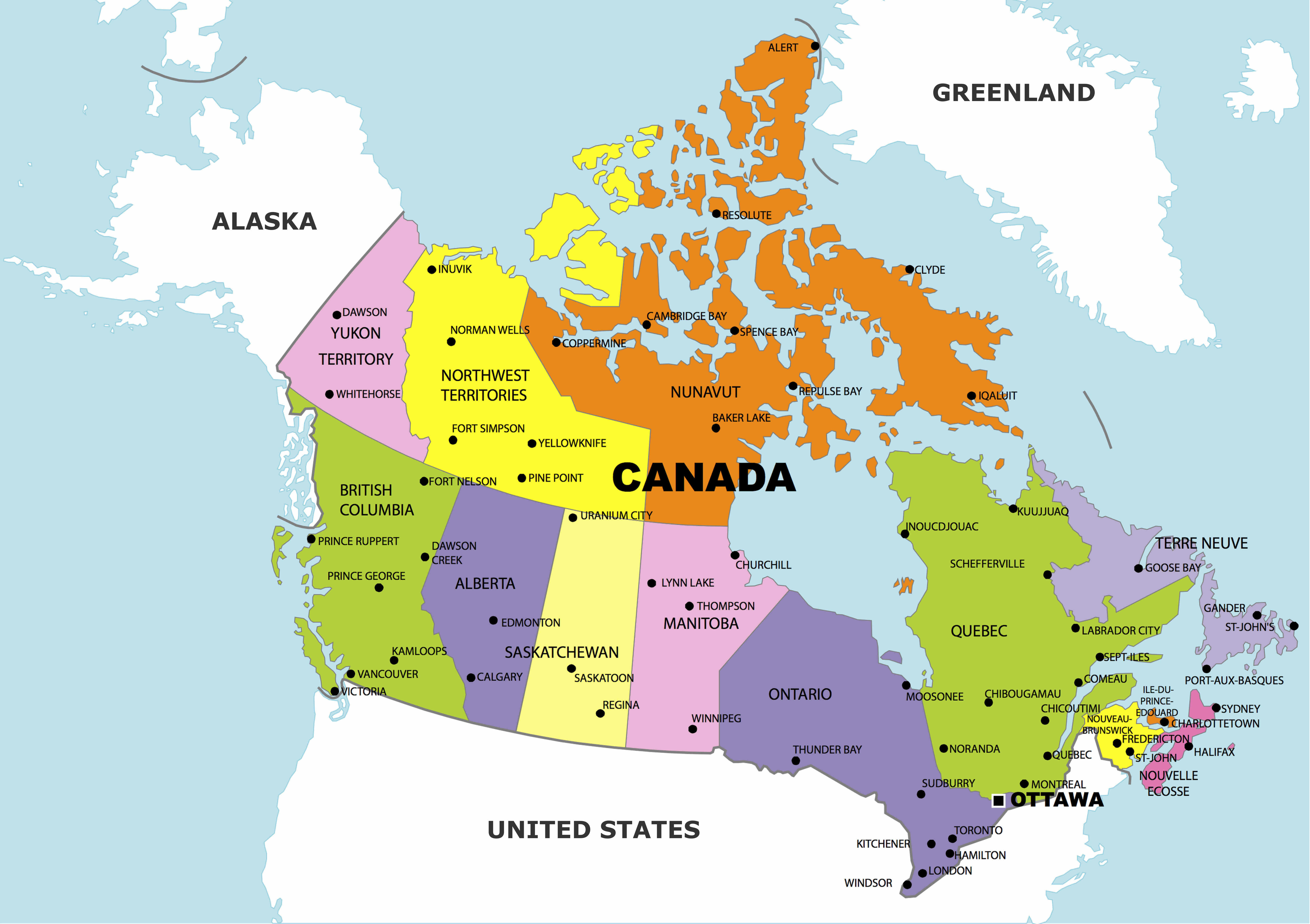
Canada administrative divisions map
Canada atlas reference map
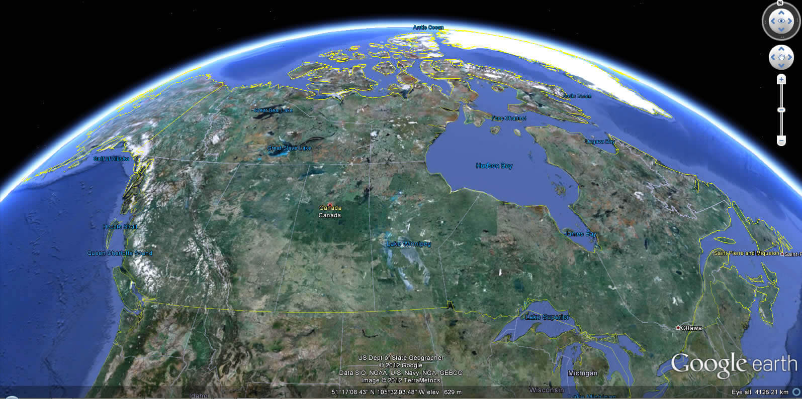
Canada Earth view map
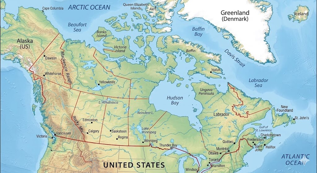
Canada north america location map
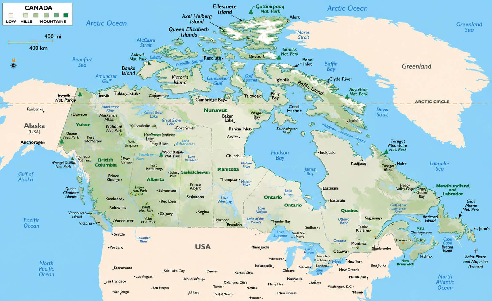
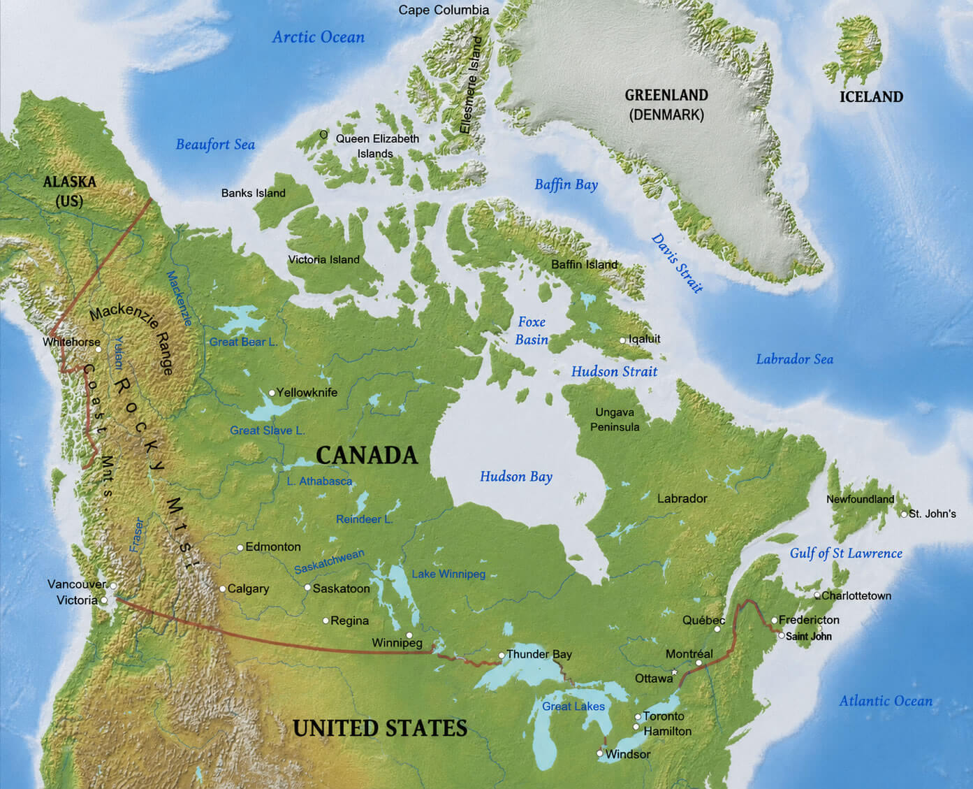
Canada physical landform map
Canada physical map with provinces
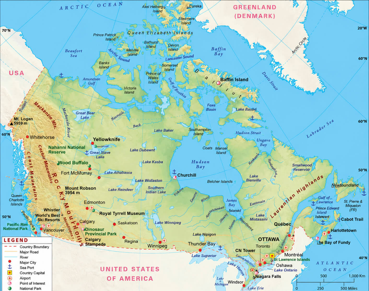
Canada physical relief map
Canada political boundaries map
Canada provinces and states map
Feel free to explore these pages as well:
- Head of Performance Marketing
- Head of SEO
- Linkedin Profile: linkedin.com/in/arifcagrici