Maps of Canada: Discover Political Boundaries, Terrain, and Satellite Views
A Collection of Canada Maps presents a diverse selection of detailed and informative maps created for travelers, students, researchers, and geography enthusiasts. This collection features a Canada blank outline map, Canada detailed vector map, and Canada geographic location map, allowing users to better understand the country’s borders, provinces, and its strategic location within North America. These maps serve as valuable resources for educational purposes, trip planning, and regional analysis.
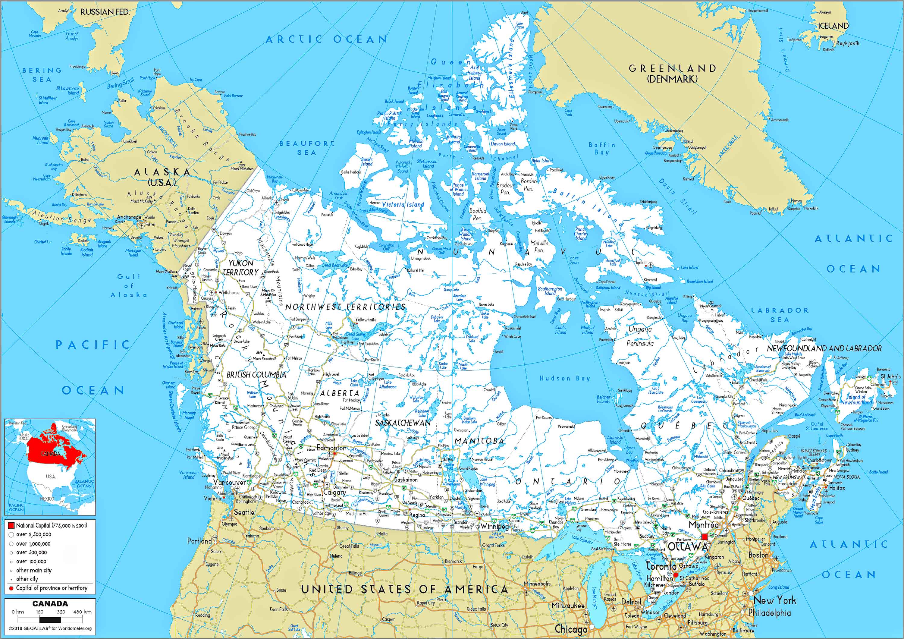
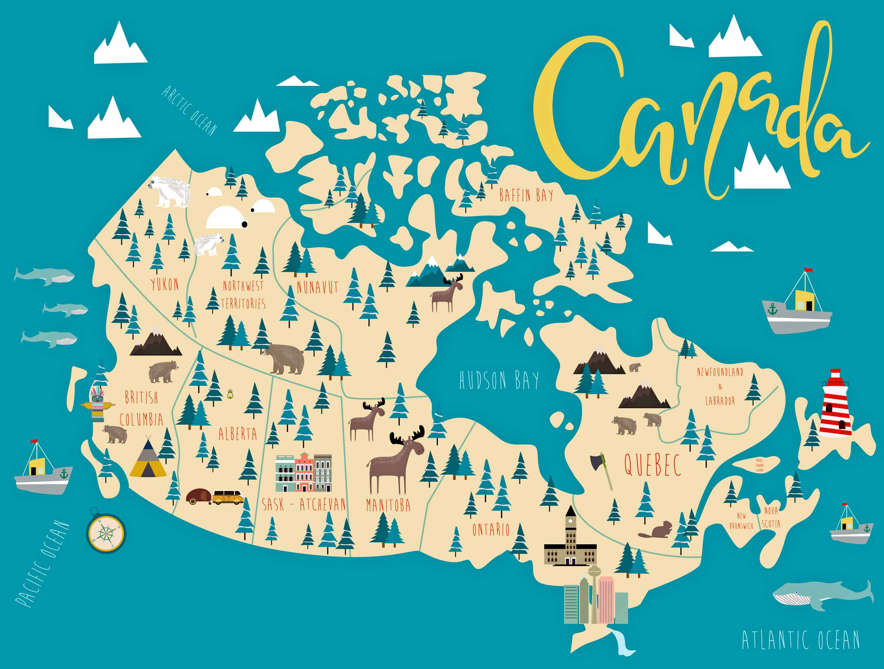
Canada provinces political map
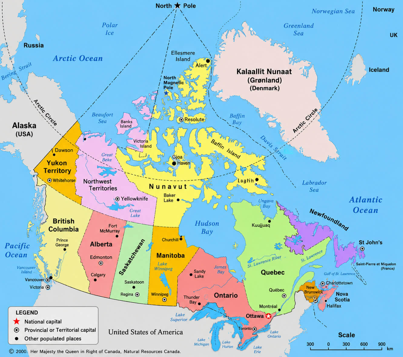
Canada provincial boundaries map
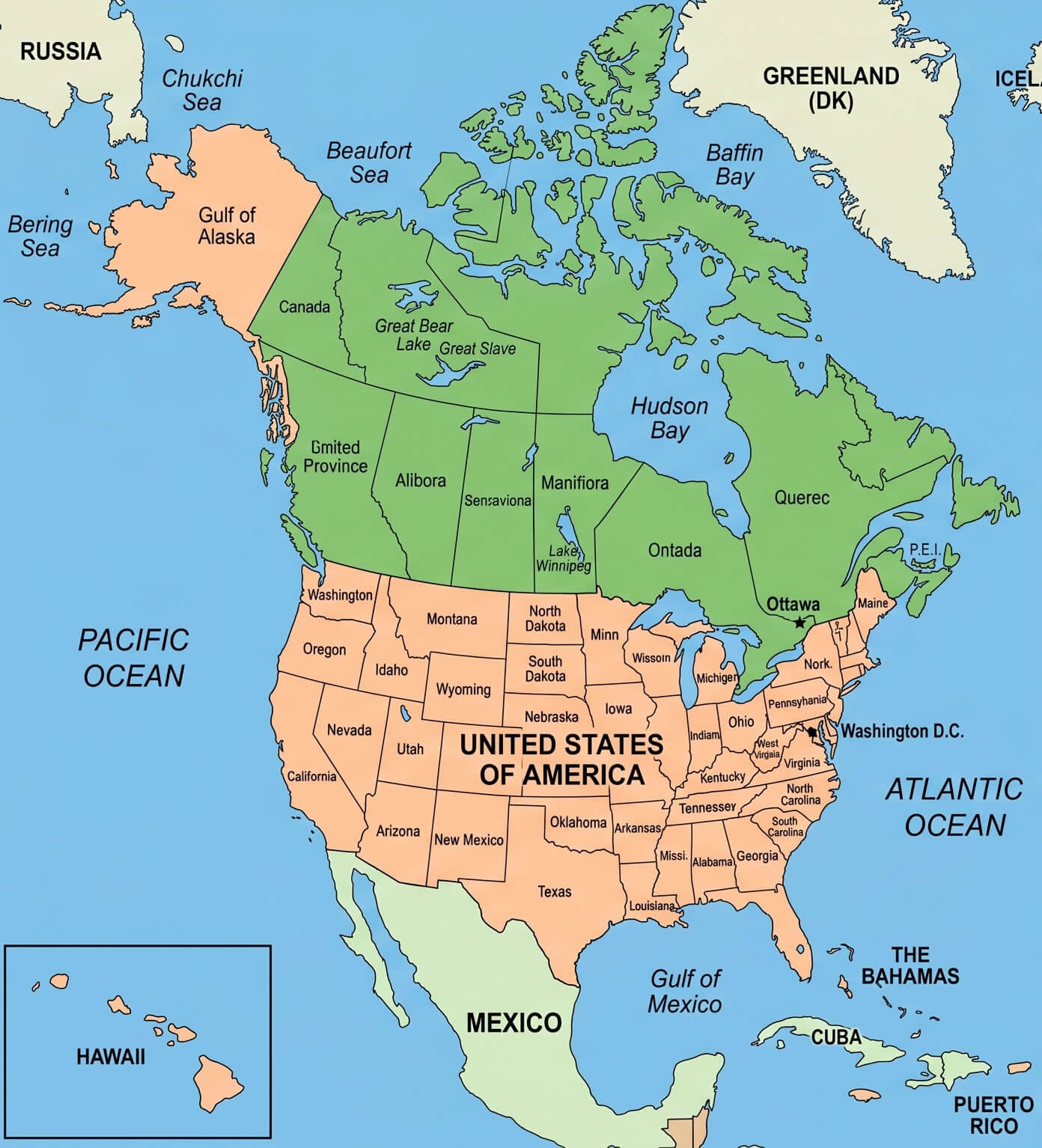
Canada US Mexico map
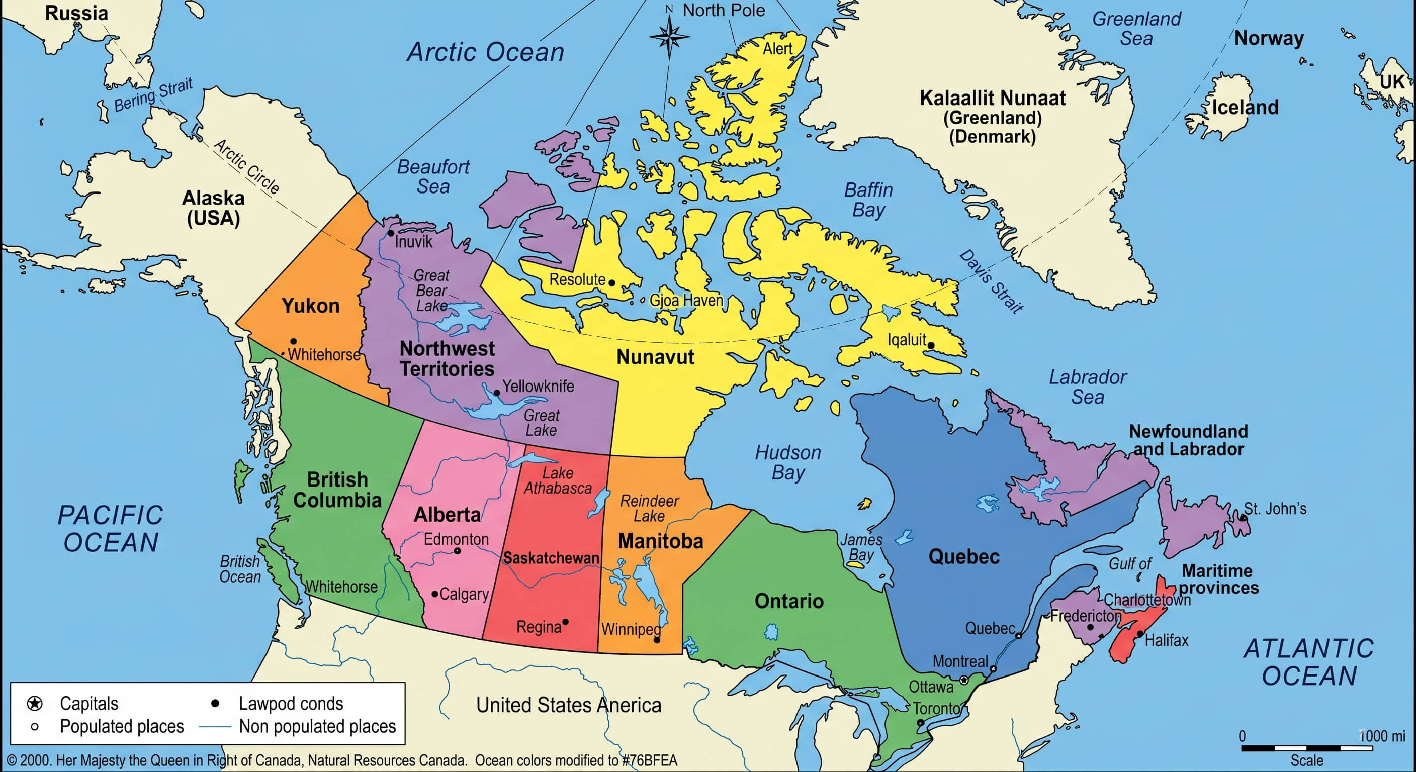
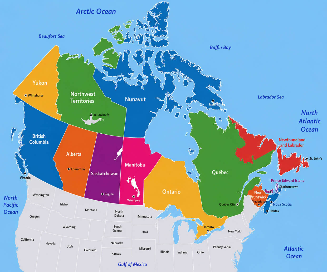
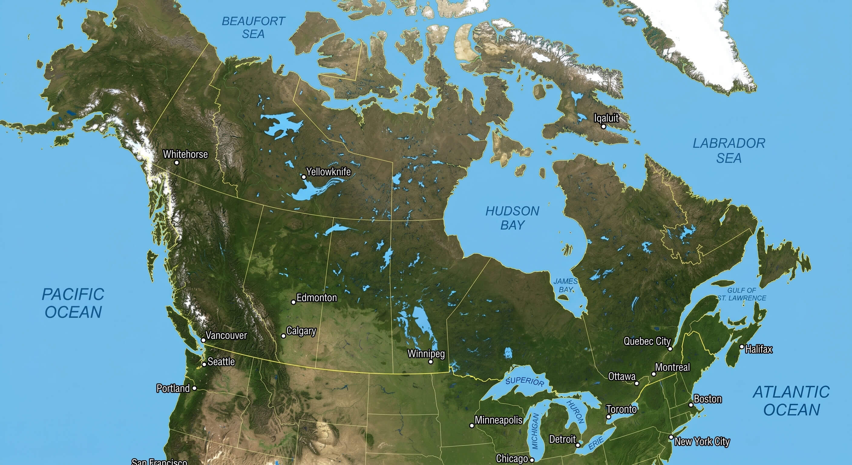
For deeper exploration, this collection features a Canada provinces and territories map, Canada reference political map, and Canada regions map, making it easier to understand Canada’s regional structure and territorial divisions. In addition, users can examine a Canada relief and topographic map for elevation details, a Canada satellite Earth view map for realistic geographic visualization, and a Canada territorial boundaries map for clear provincial borders. The collection also includes a Canada USA border states map to highlight neighboring American states and a Canada world trade agreements map to provide a broader view of Canada’s international trade connections.
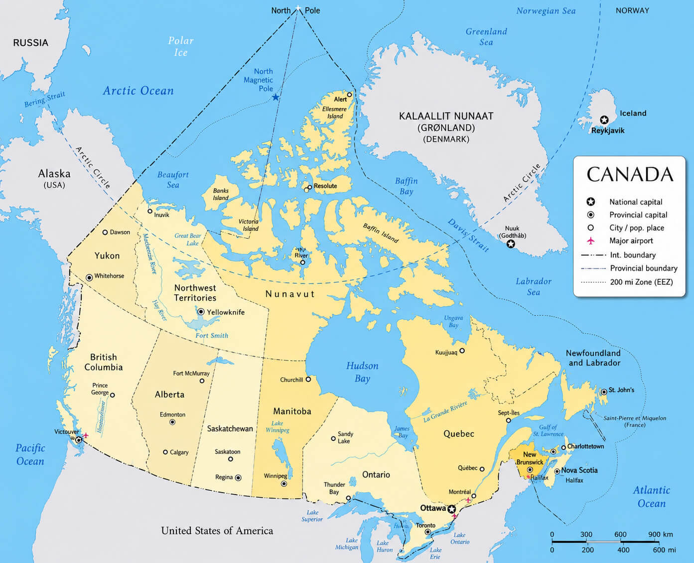
Canada detailed reference map
Canada transit network map
Canada road and route map
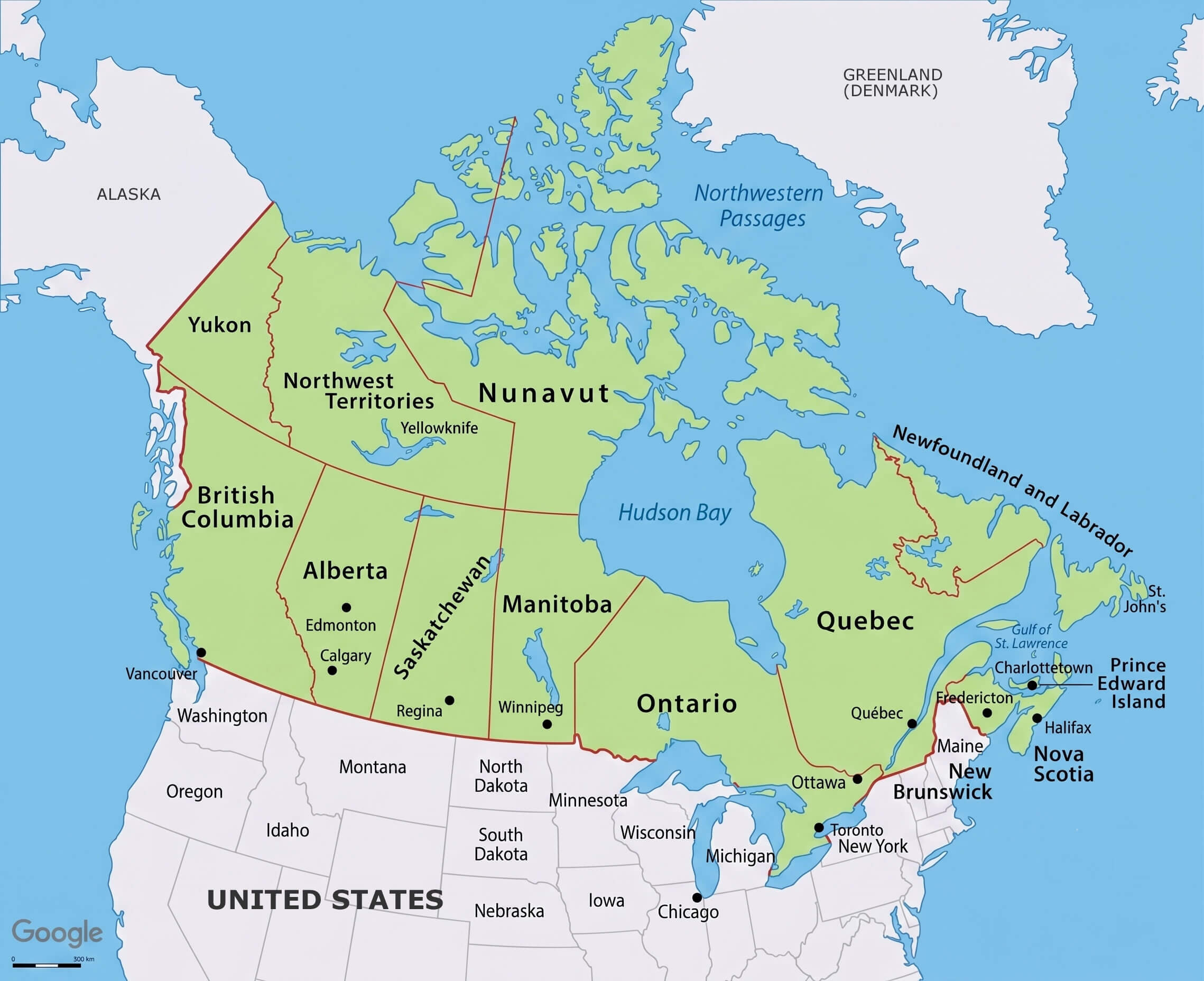
Canada political regions map
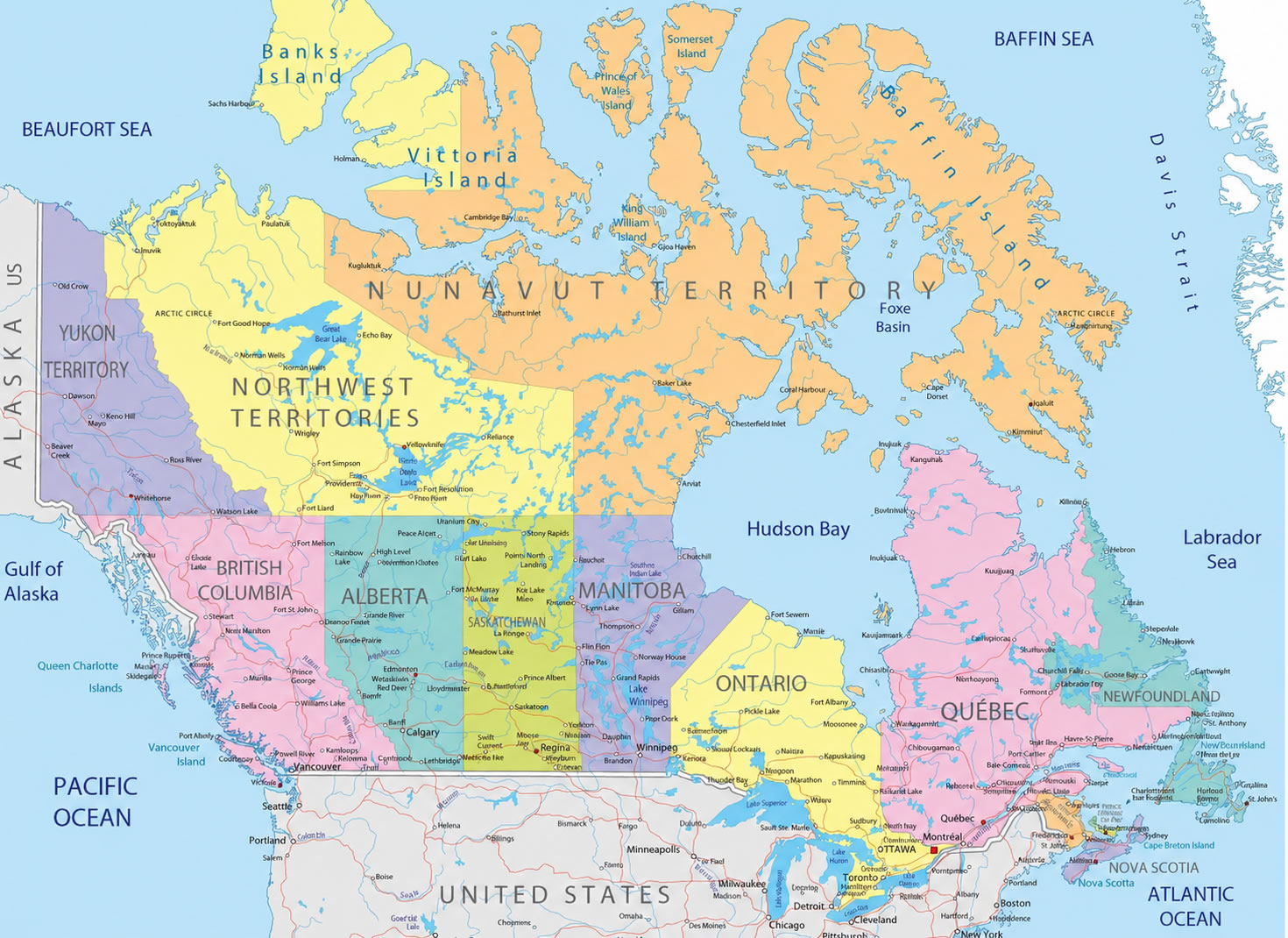
Canada colorful regions map
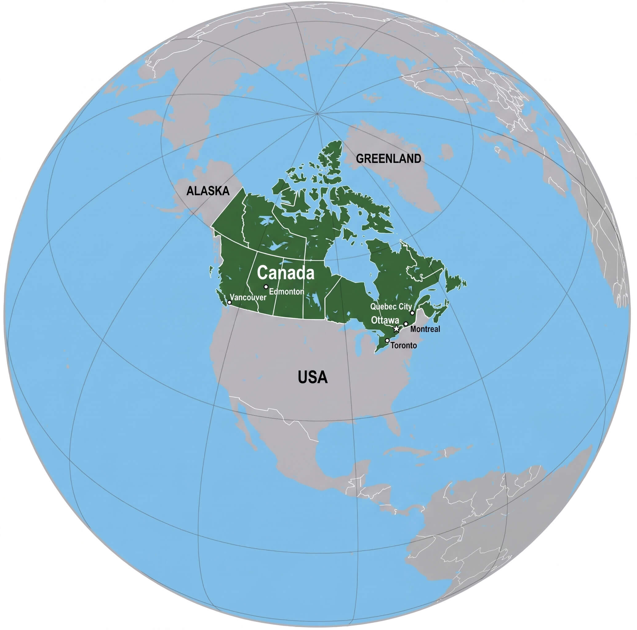
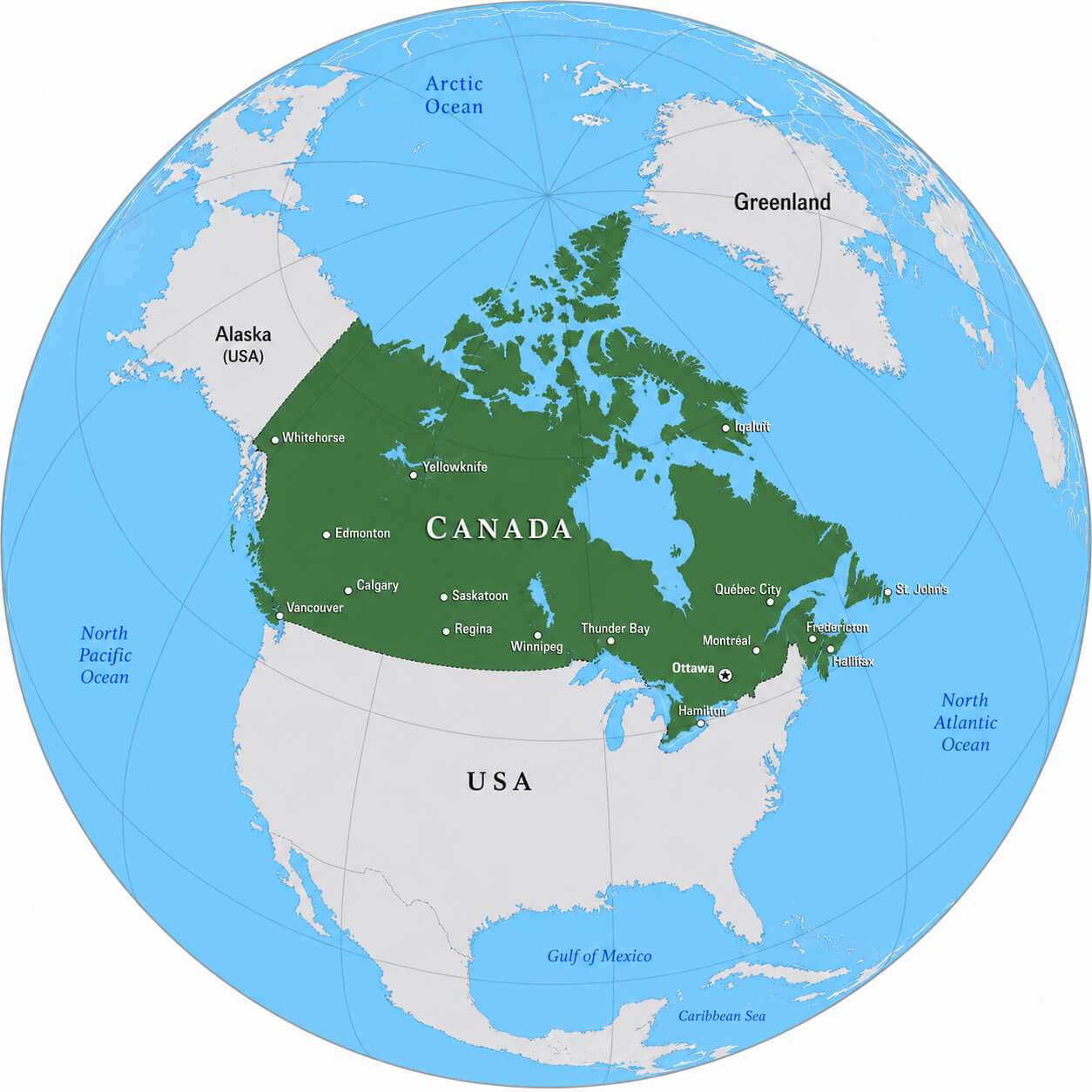
Canada Globe location map
The collection also includes a Canada national flag map, Canada physical map, and Canada political map, offering deeper insights into the country’s administrative divisions, natural landscapes, and geographic features. Whether you are exploring Canada’s provinces, studying its terrain, or analyzing its political boundaries, this map collection provides a comprehensive visual guide to one of the world’s largest countries.
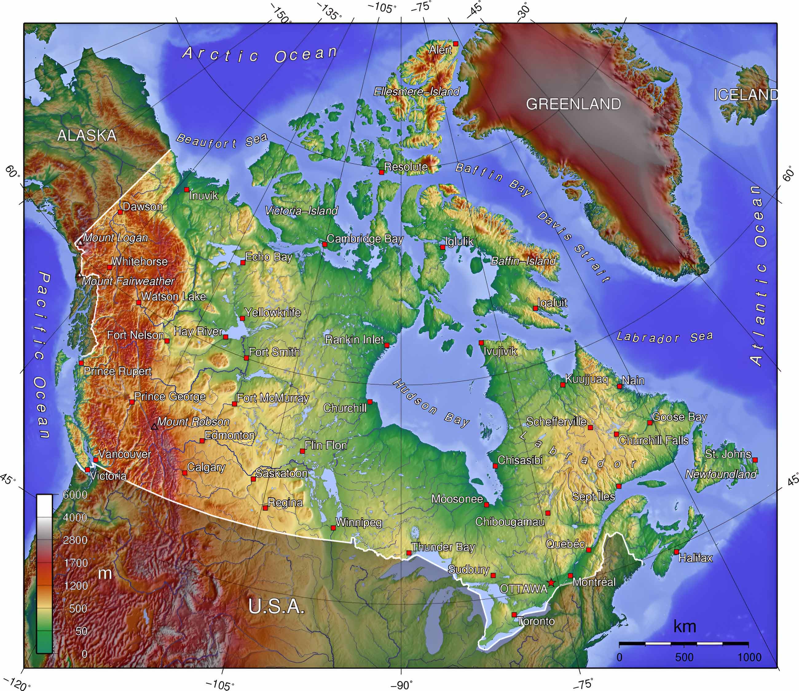
Canada relief landform map
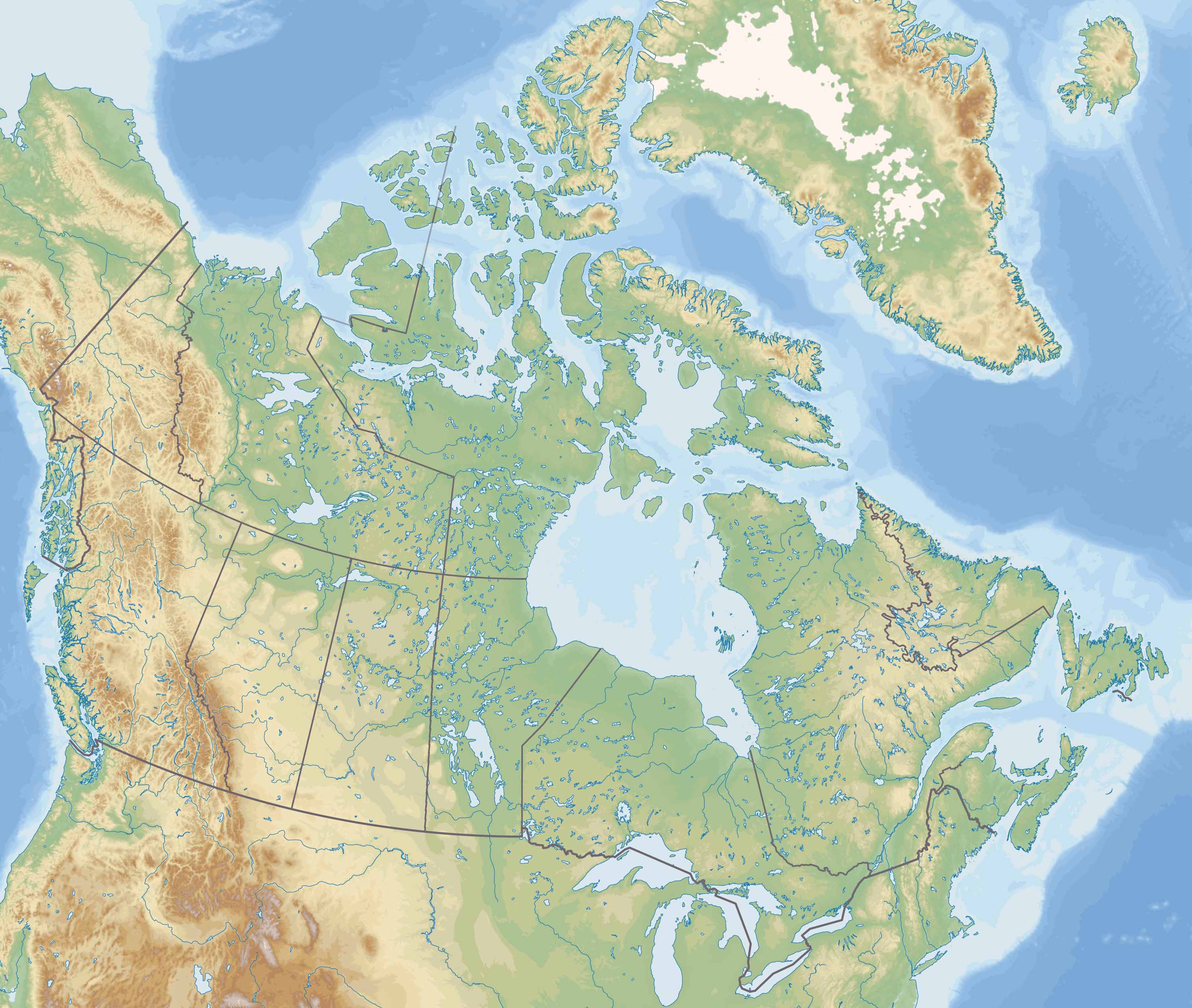
Canada terrain and vegetation map
Canada topographic elevation map
Canada tourist attractions map
Canada World location map
Feel free to explore these pages as well:
- Head of Performance Marketing
- Head of SEO
- Linkedin Profile: linkedin.com/in/arifcagrici