Explore Canada Maps: Provinces, Territories, and Geographic Regions
A Collection of Canada Maps features an extensive range of detailed and informative maps that provide valuable insights into the country’s geography, political structure, and natural landscapes. This collection includes a Canada blank outline map, Canada detailed vector map, and Canada geographic location map, helping users better understand Canada’s borders, provinces, and strategic location in North America. Visitors can also explore a Canada national flag map, Canada physical map, and Canada political map, each offering a clear perspective on the country’s administrative divisions, terrain, and regional features.
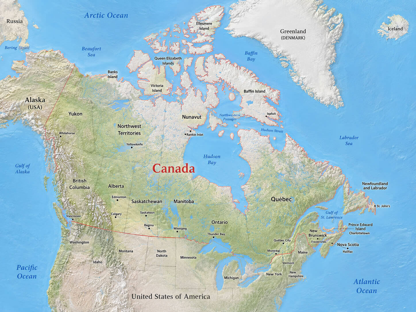
Canada detailed vector map
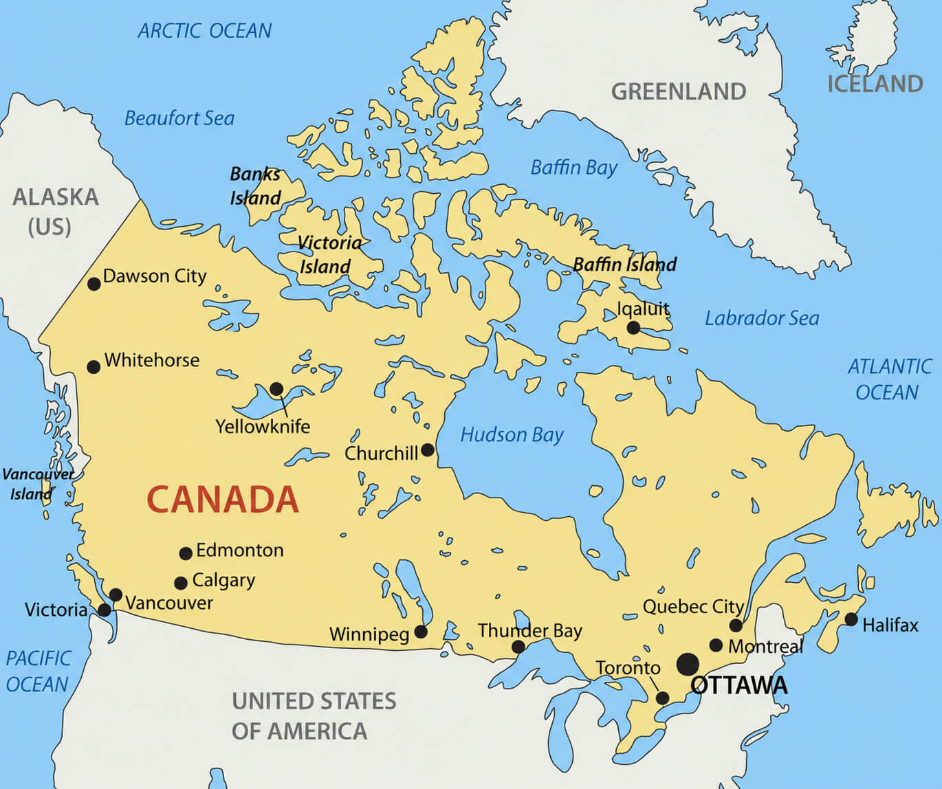
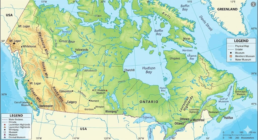
Canada physical map
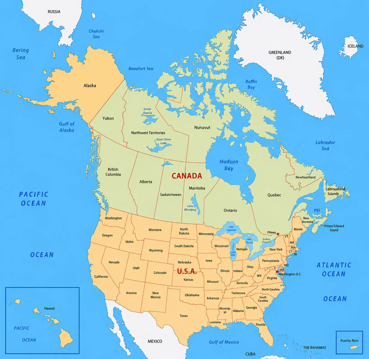
Canada USA border states map
In addition, this map collection features a Canada provinces and territories map, Canada reference political map, and Canada regions map, helping users understand Canada’s internal structure in greater detail. For geographic analysis, the collection also includes a Canada relief and topographic map, Canada satellite Earth view map, and Canada territorial boundaries map. Users can further explore cross-border connections with a Canada USA border states map and gain global economic perspective through the Canada world trade agreements map, making this a comprehensive resource for anyone looking to discover Canada from multiple perspectives.
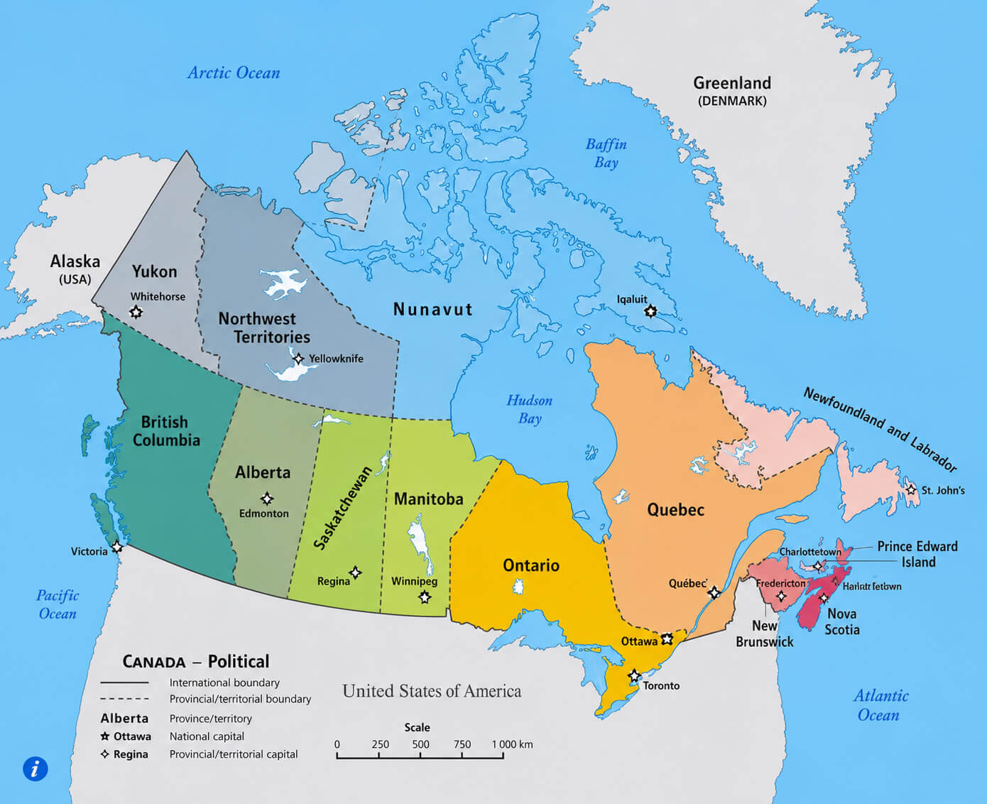
Canada Political Map
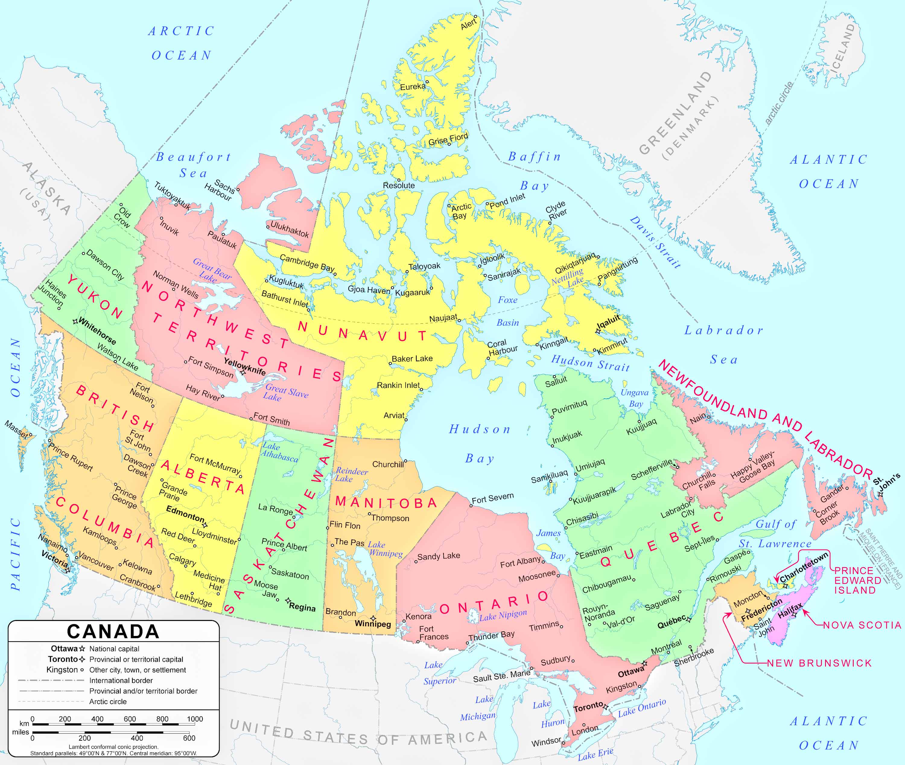
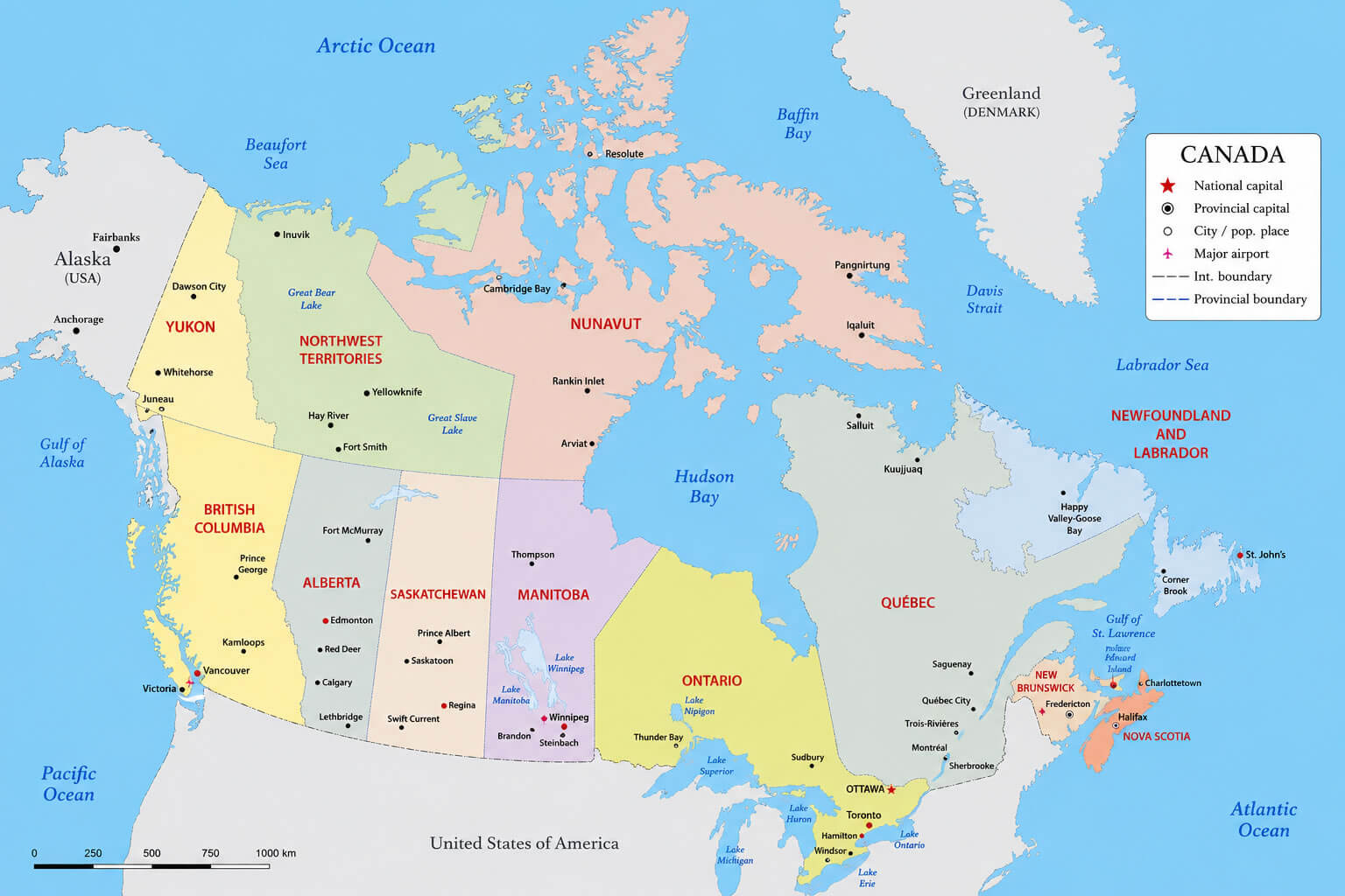
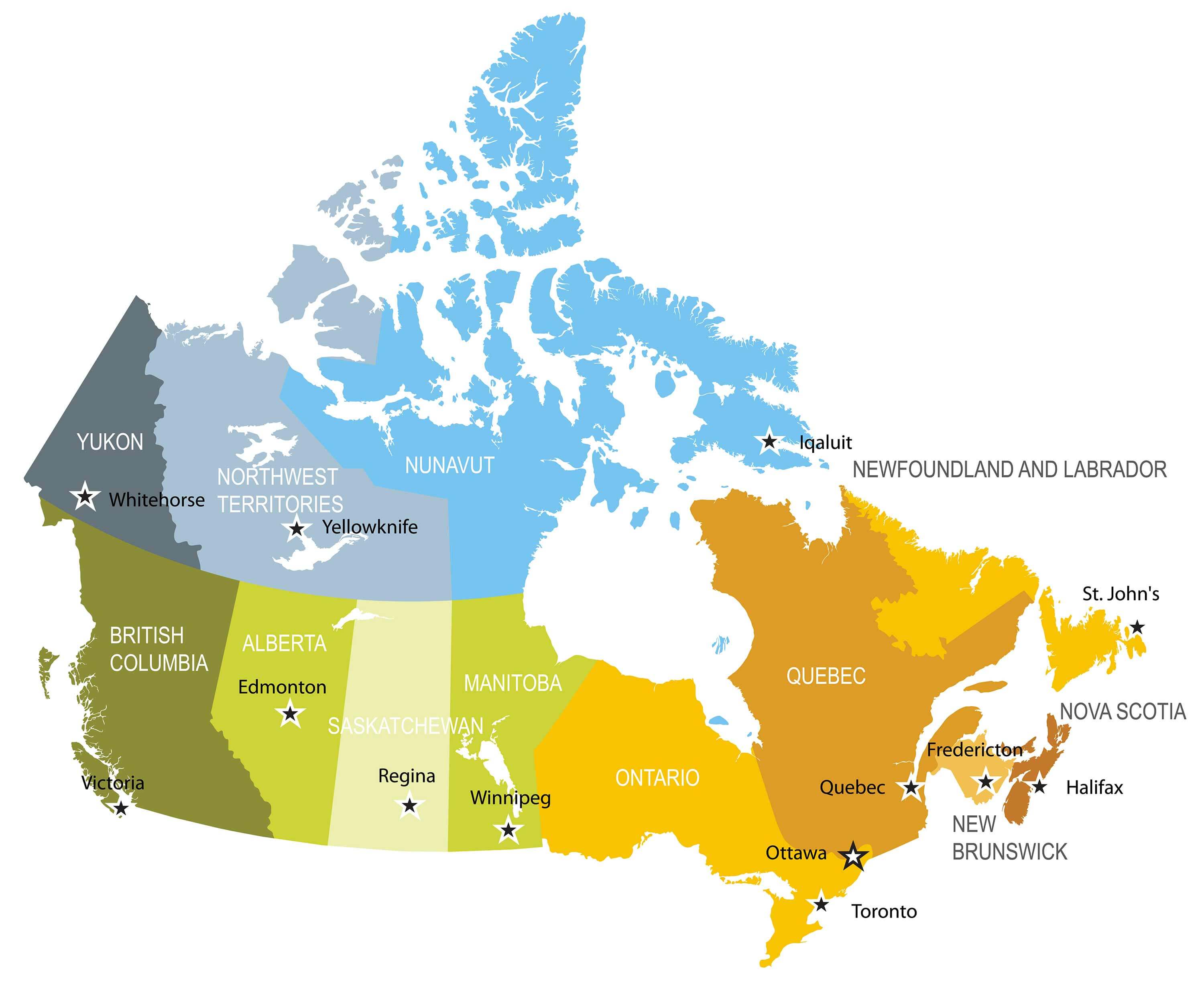
Canada provinces and territories map
Canada reference political map
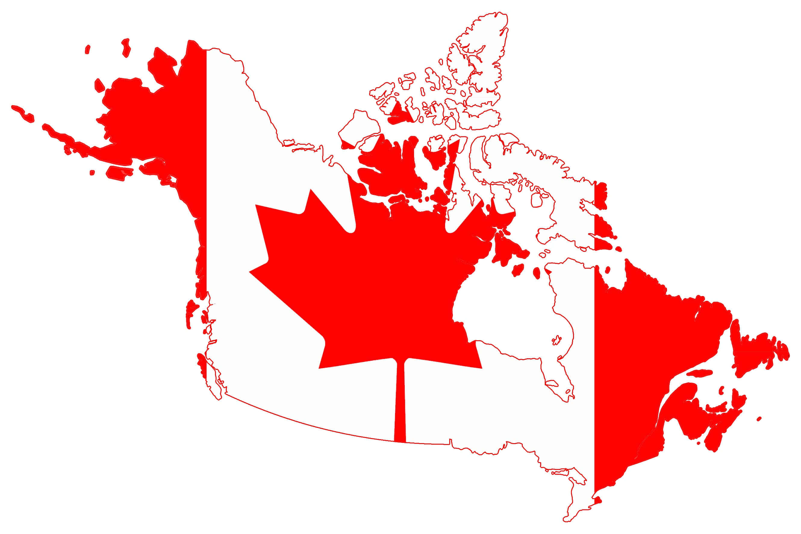
Canada national flag map
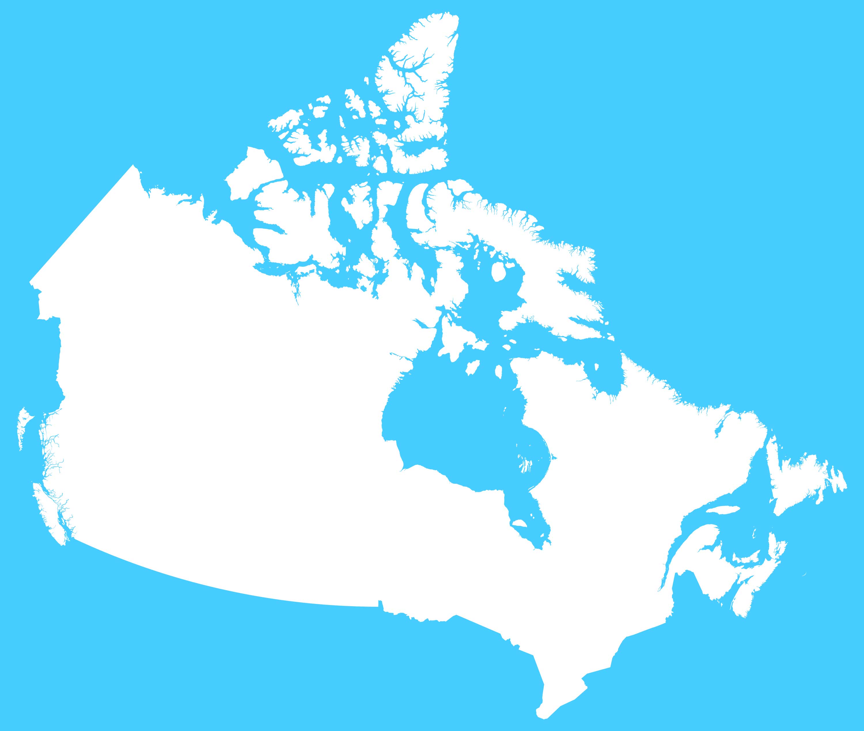
Canada blank outline map
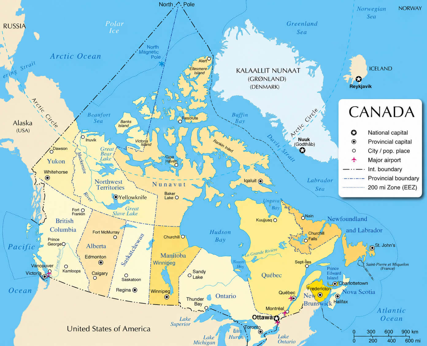
Canada geographic location map
Canada Regions Map
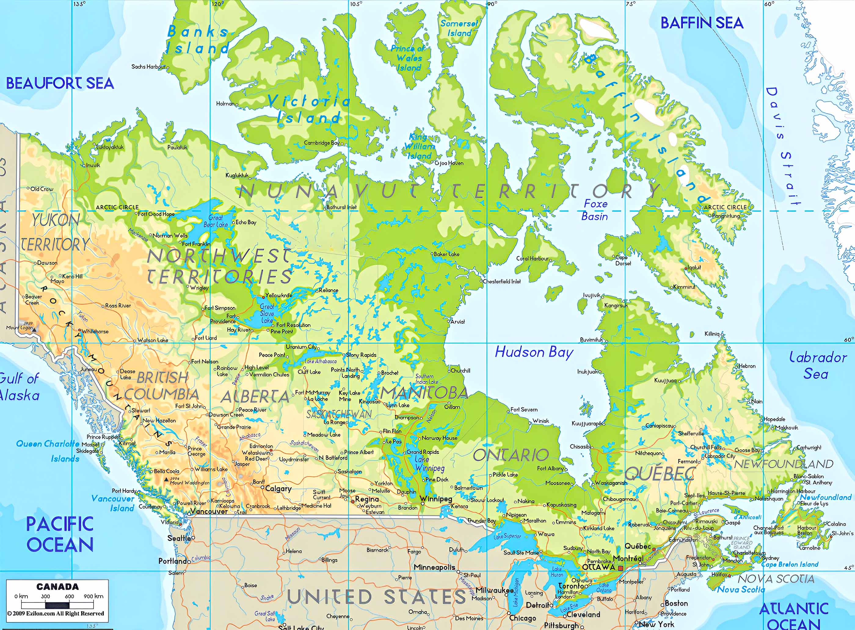
Canada relief and topographic map
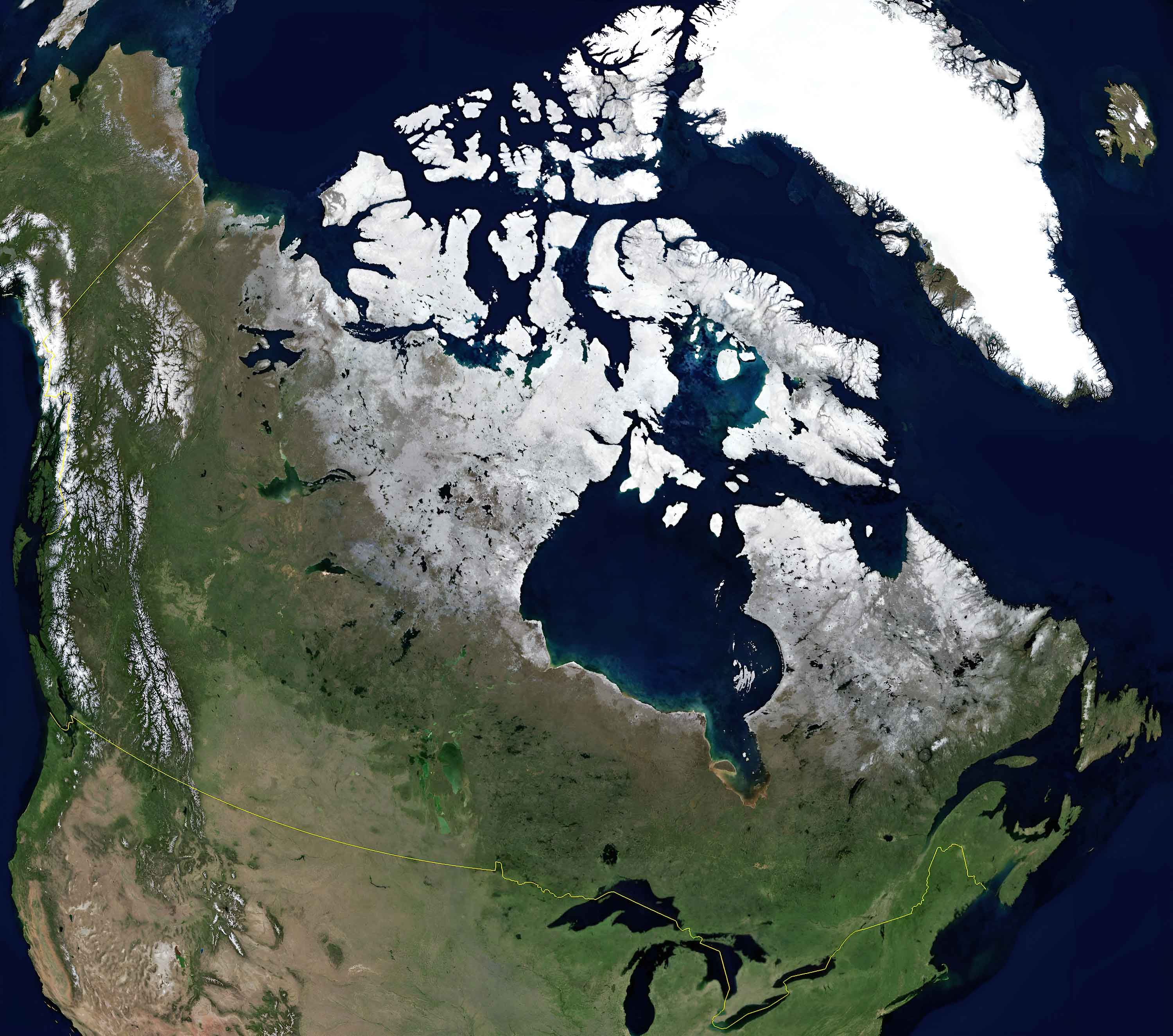
Canada satellite Earth view map
Canada territorial boundaries map
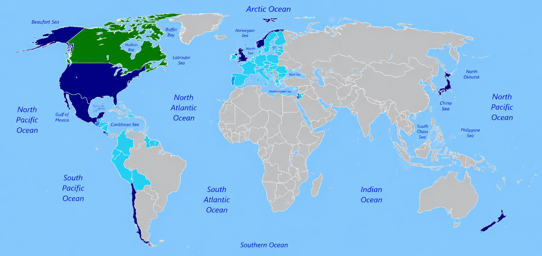
Canada World trade agreements map
Feel free to explore these pages as well:
- Head of Performance Marketing
- Head of SEO
- Linkedin Profile: linkedin.com/in/arifcagrici