
China Political Map
Explore the China Political Map collection for a clear view of the country’s provinces, autonomous regions, municipalities, major cities, administrative boundaries, and international borders. These maps show important locations such as Beijing, Shanghai, Guangzhou, Chongqing, Xinjiang, Tibet, Inner Mongolia, Sichuan, and Guangdong, while also illustrating China’s position in relation to neighboring countries including Russia, Mongolia, India, Kazakhstan, Nepal, Myanmar, Vietnam, and North Korea. The collection includes detailed political maps of China, administrative maps, provincial maps, historical maps, population maps, climate maps, Chinese-language maps, and blank maps, providing a useful visual resource for exploring China’s political geography, administrative divisions, population distribution, historical development, and regional structure.
China political map
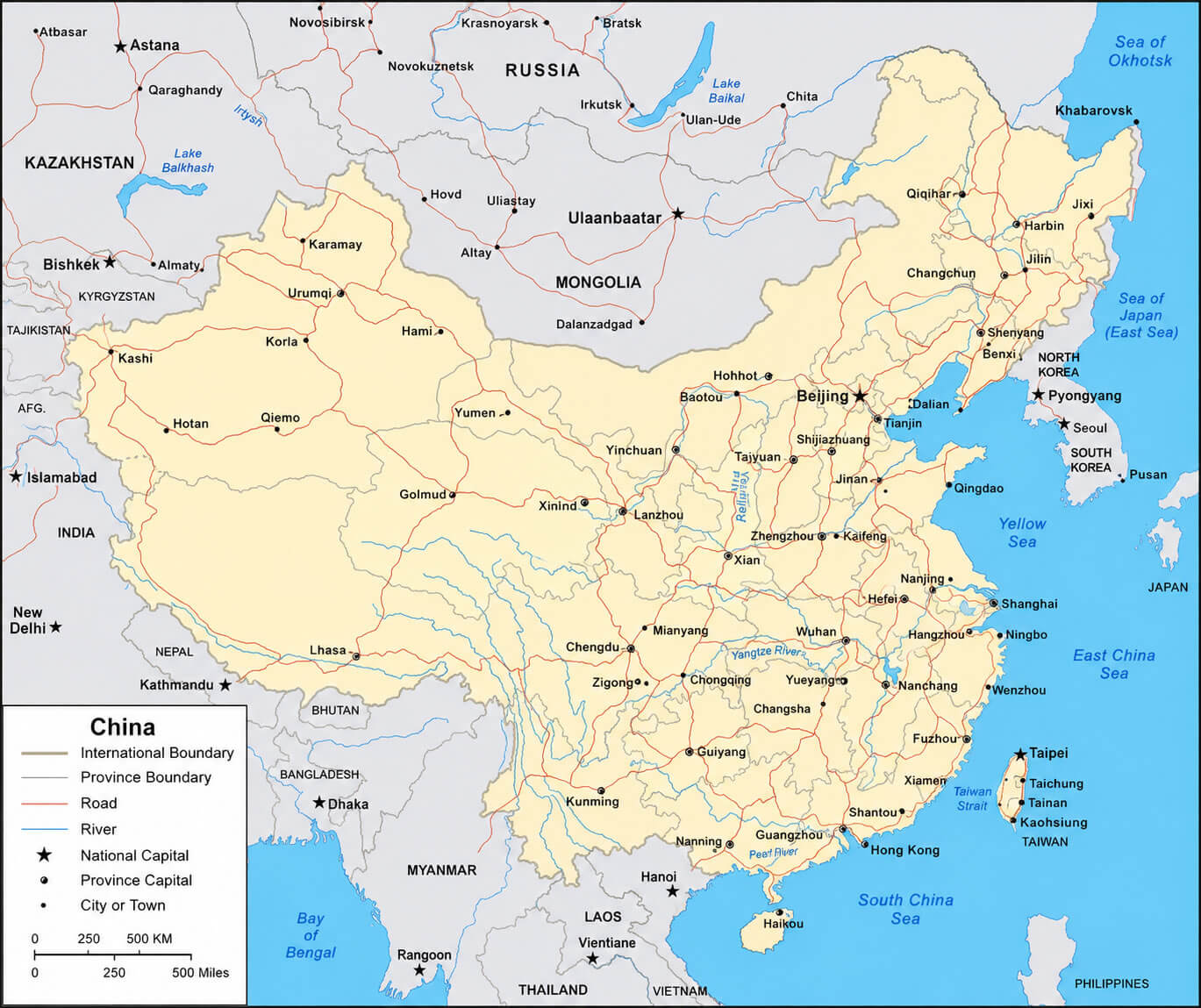
Provinces map of China
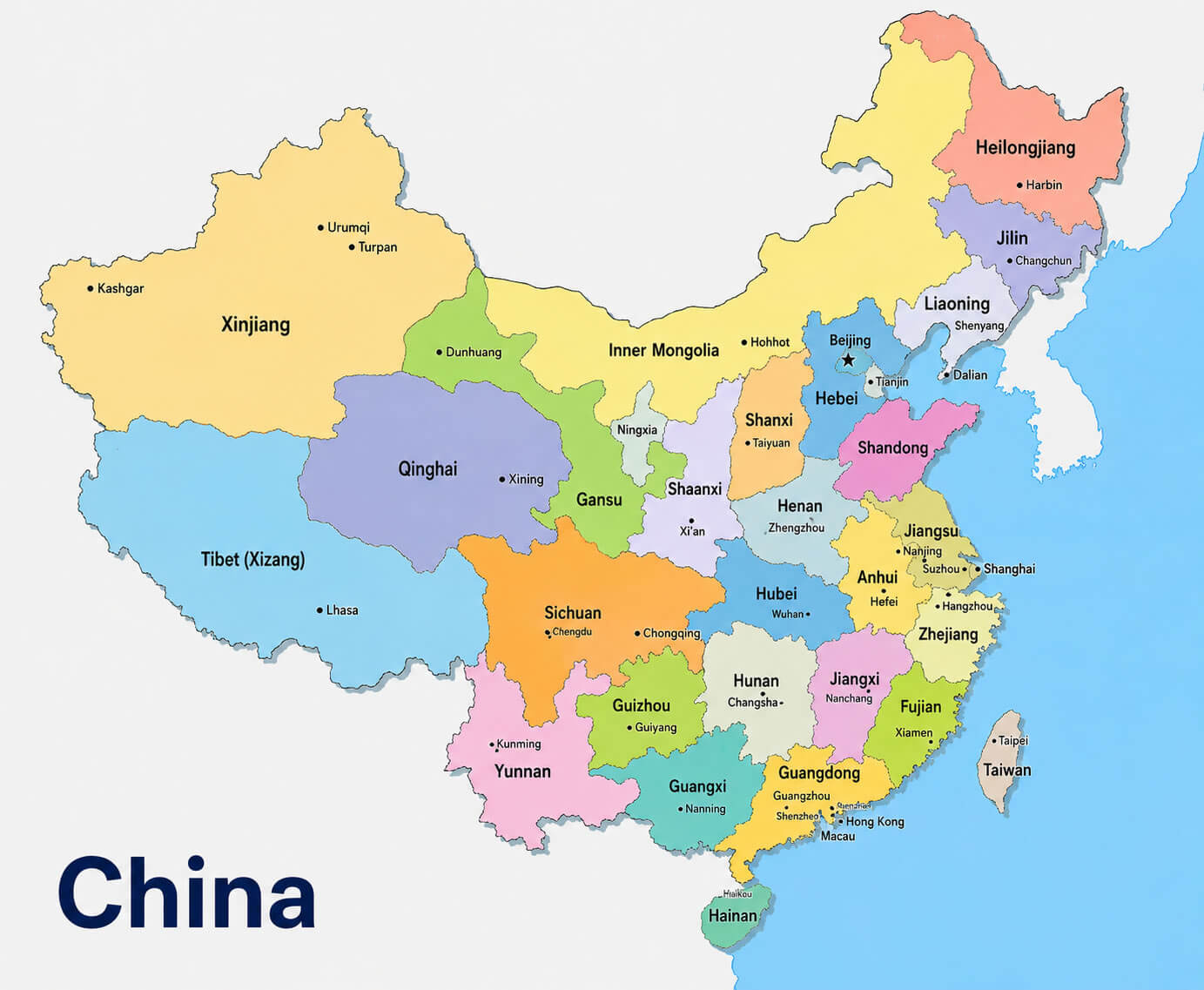
China main cities map with international border
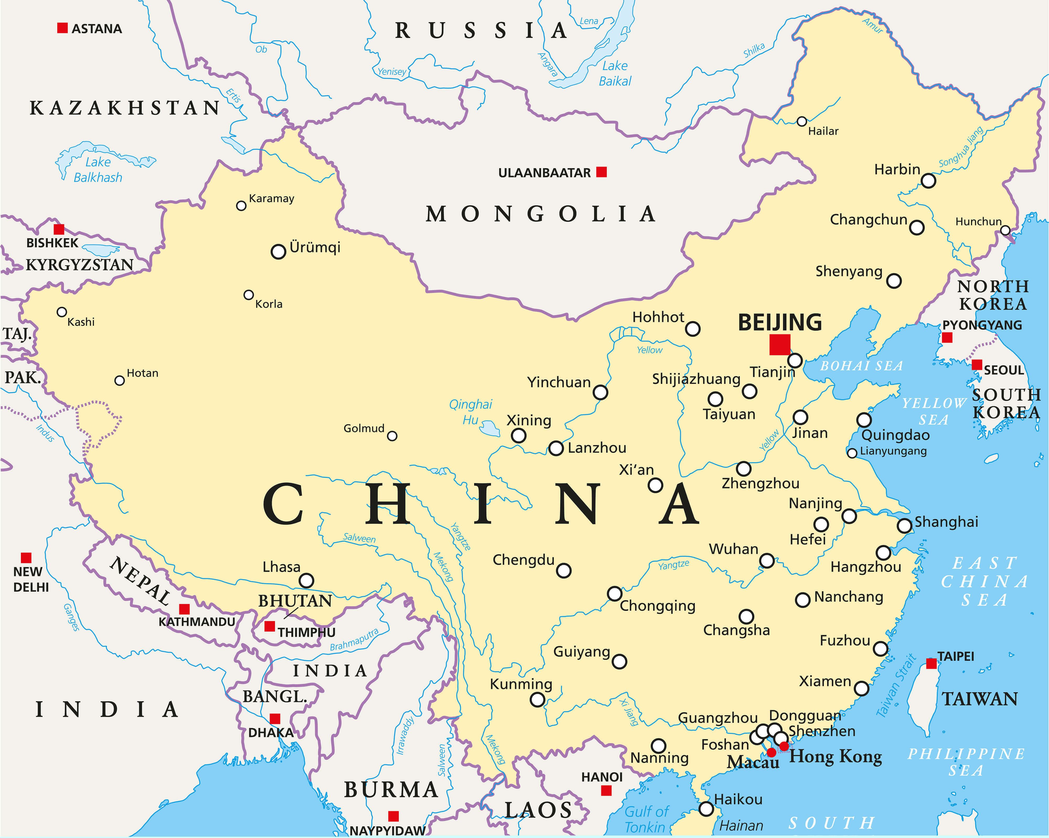
China administrative divisions map
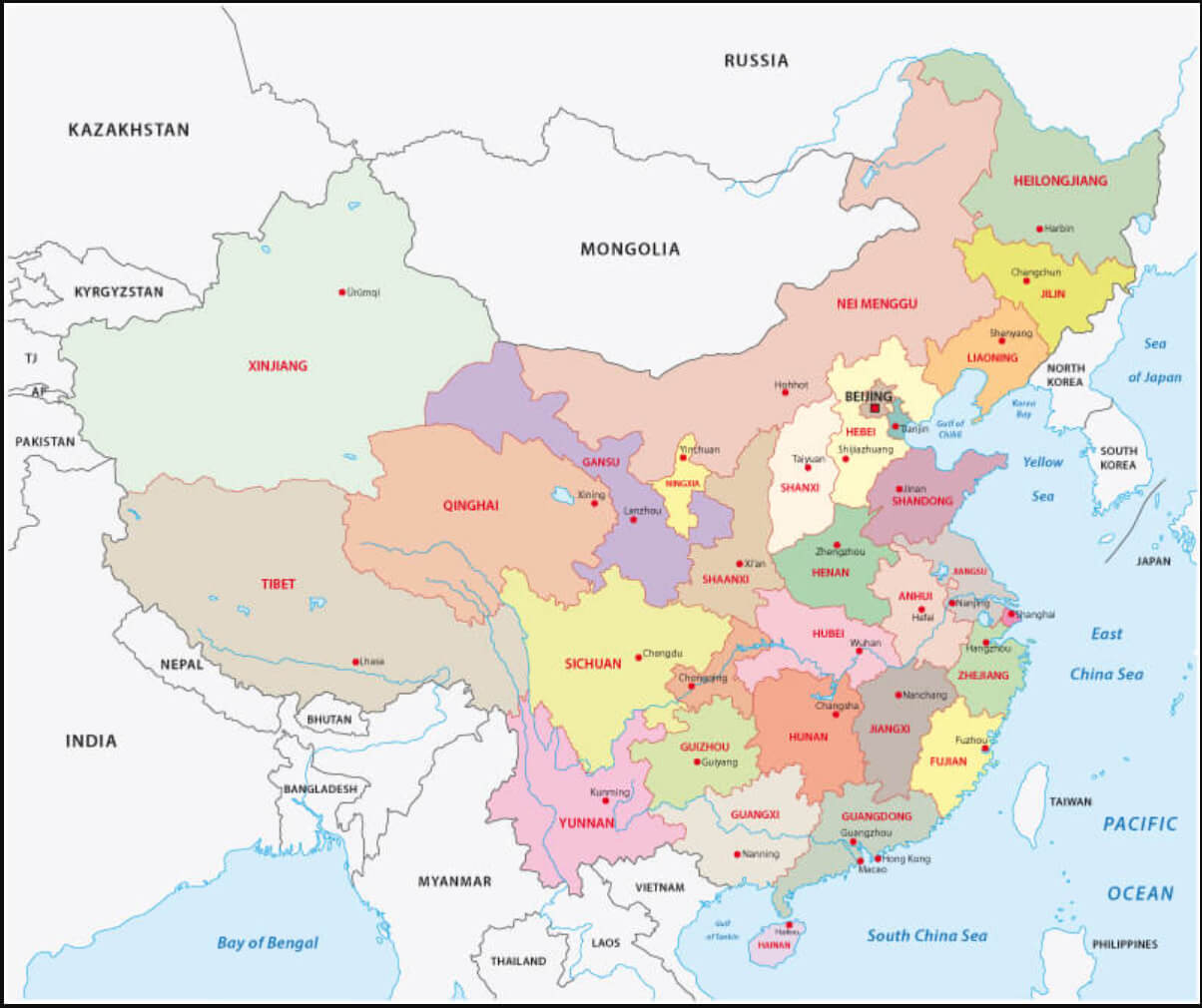
Political map of China
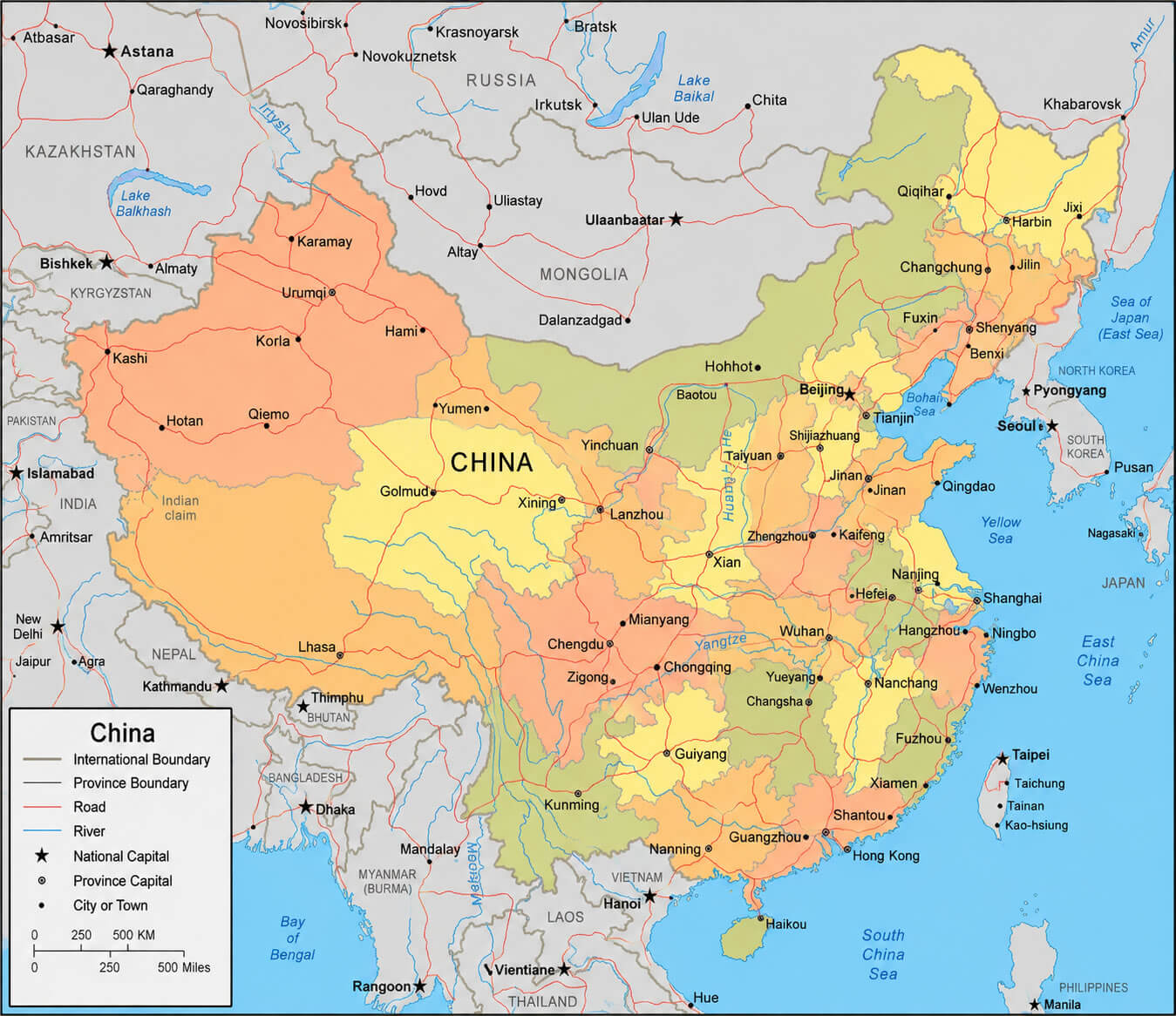
China administrative map
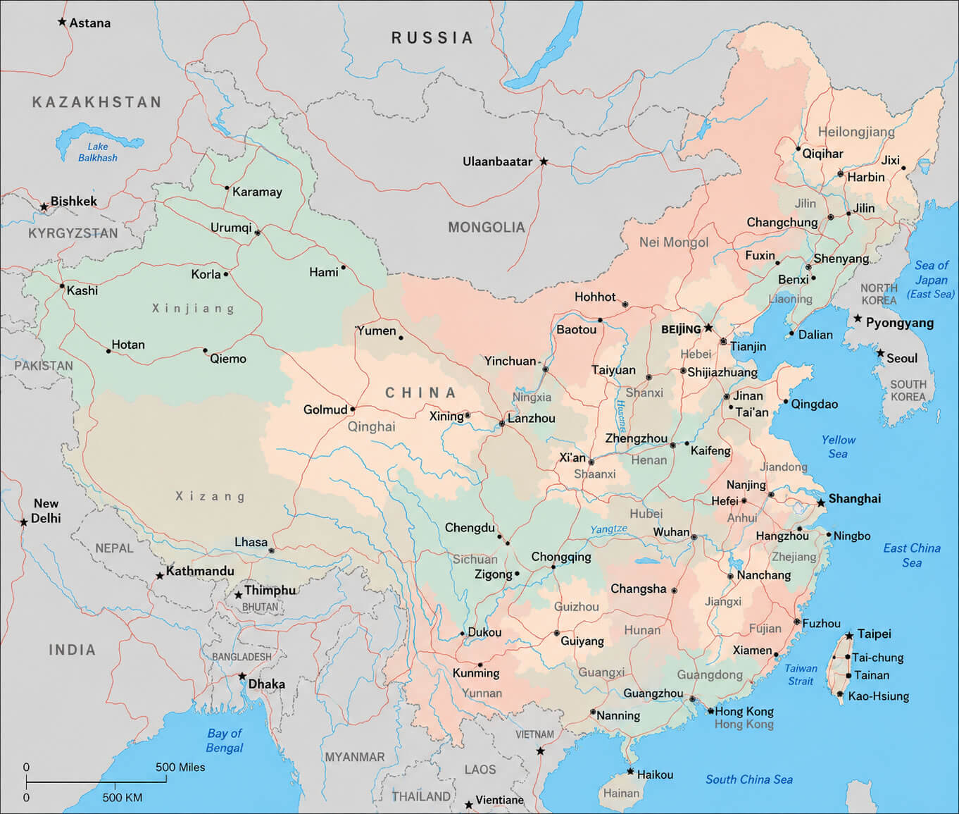
China administrative regions map
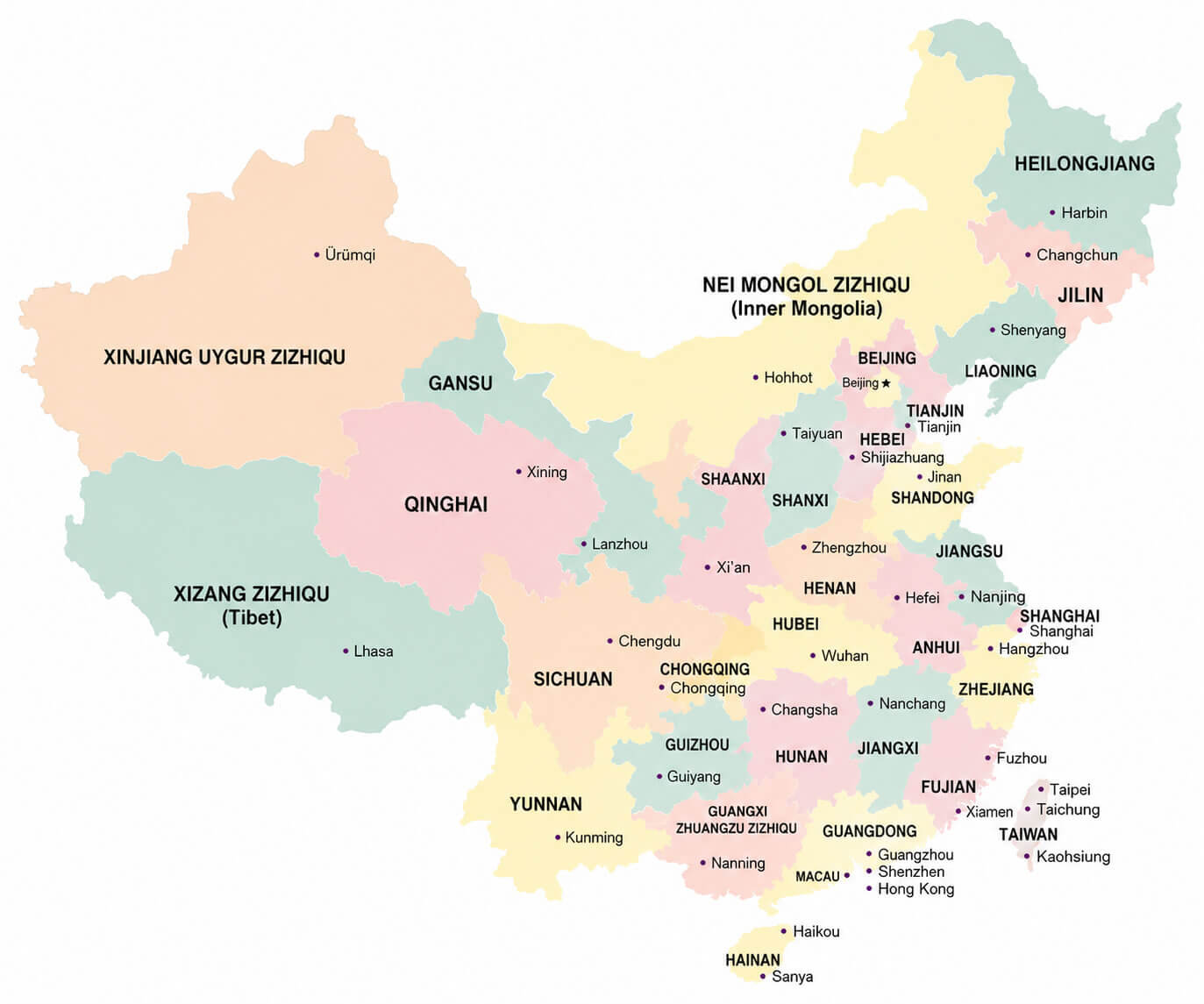
China blank map
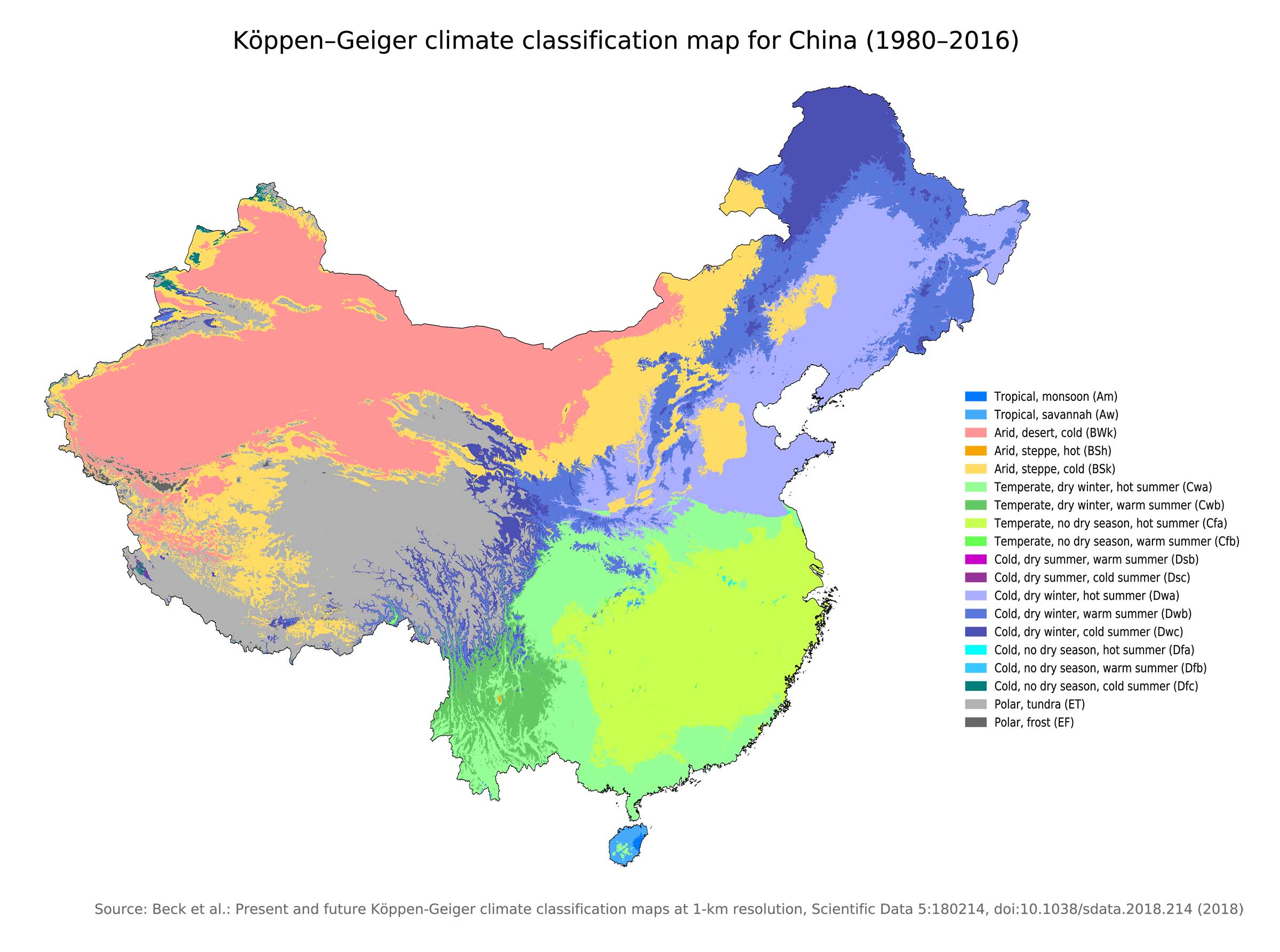
China climatic map
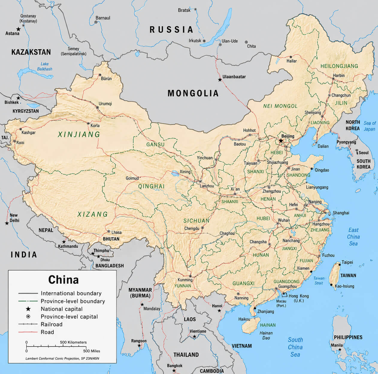
China detailed political map
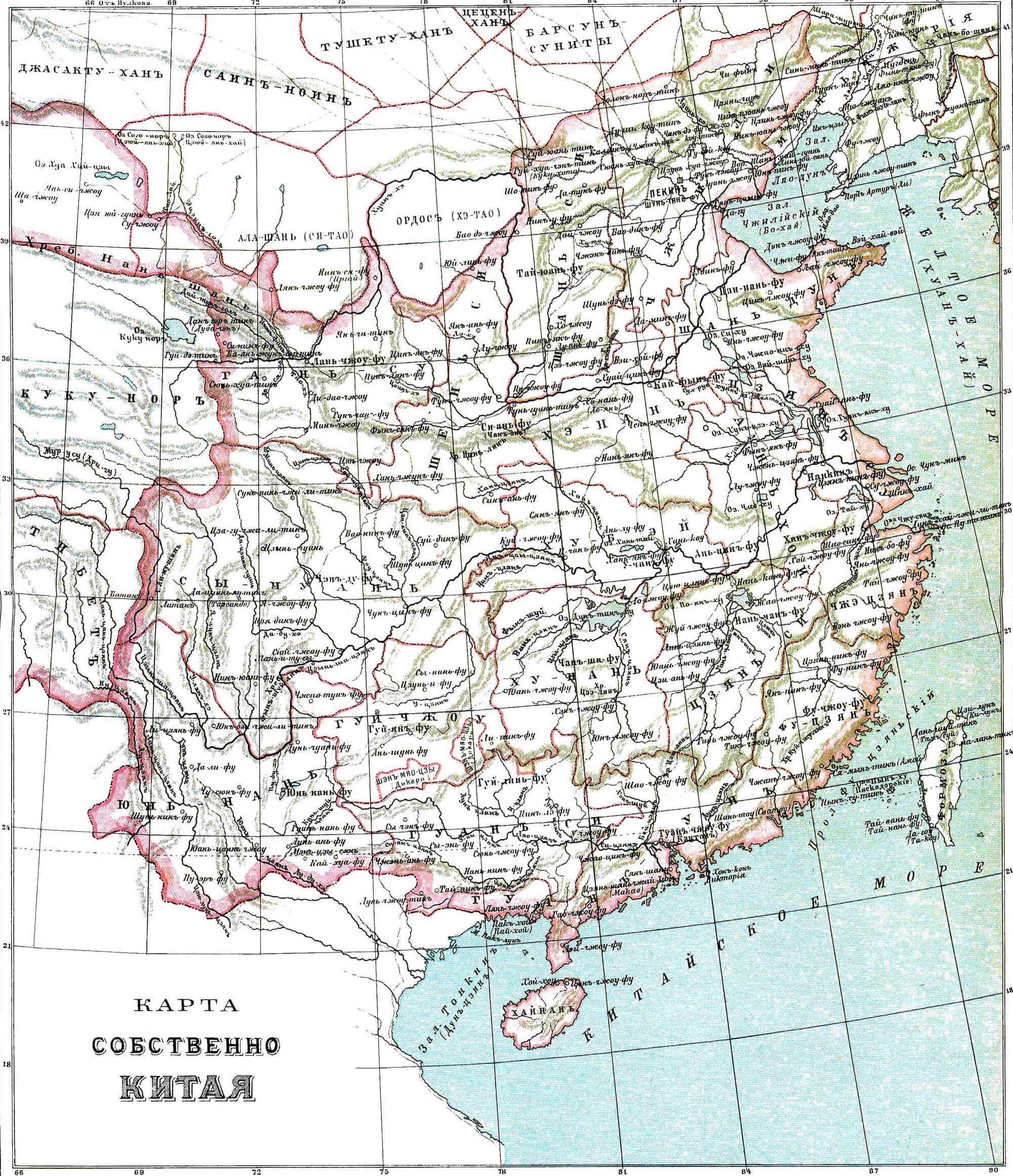
China historical map 1890 1907
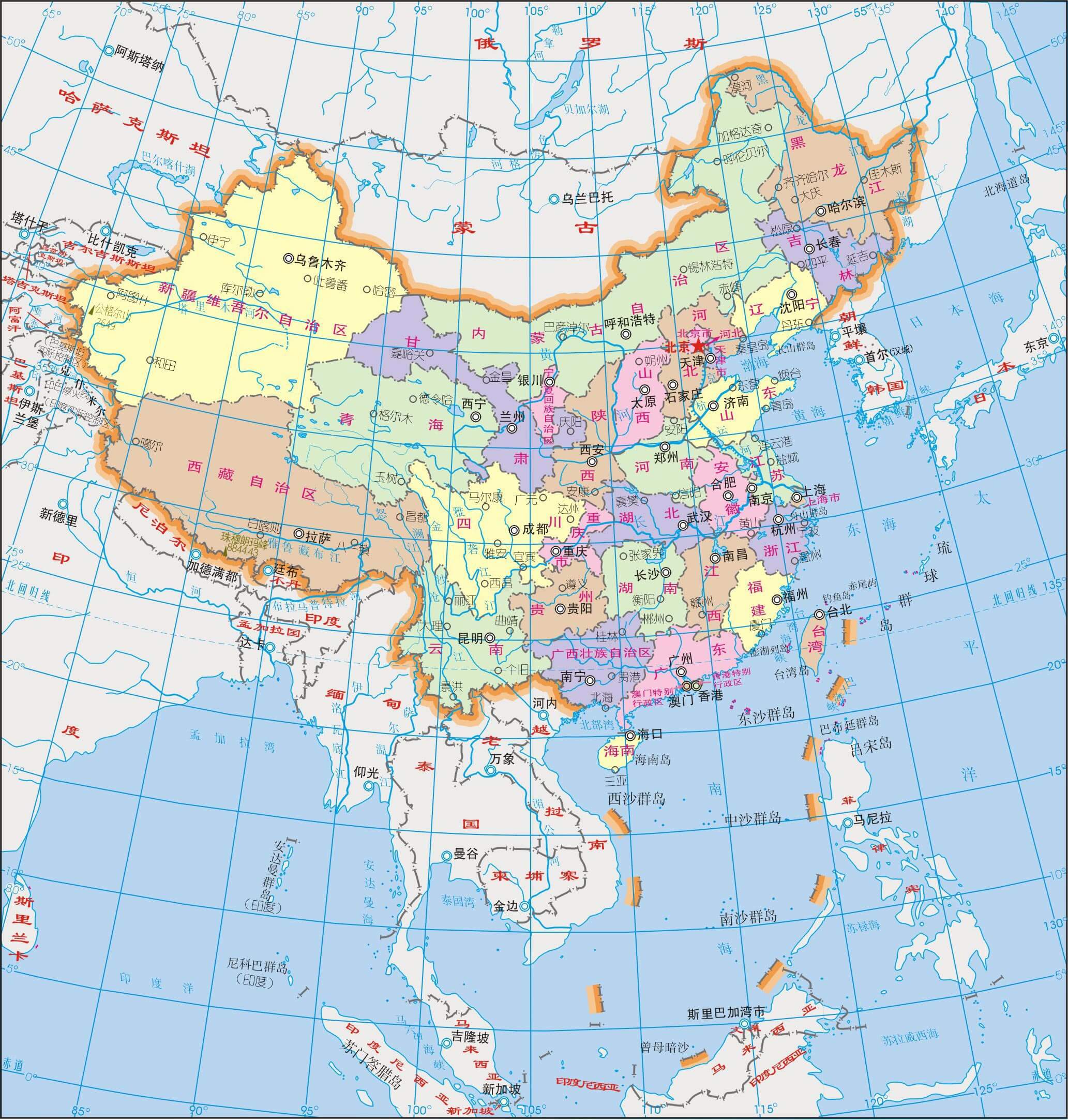
China map in Chinese language
China population map 1967
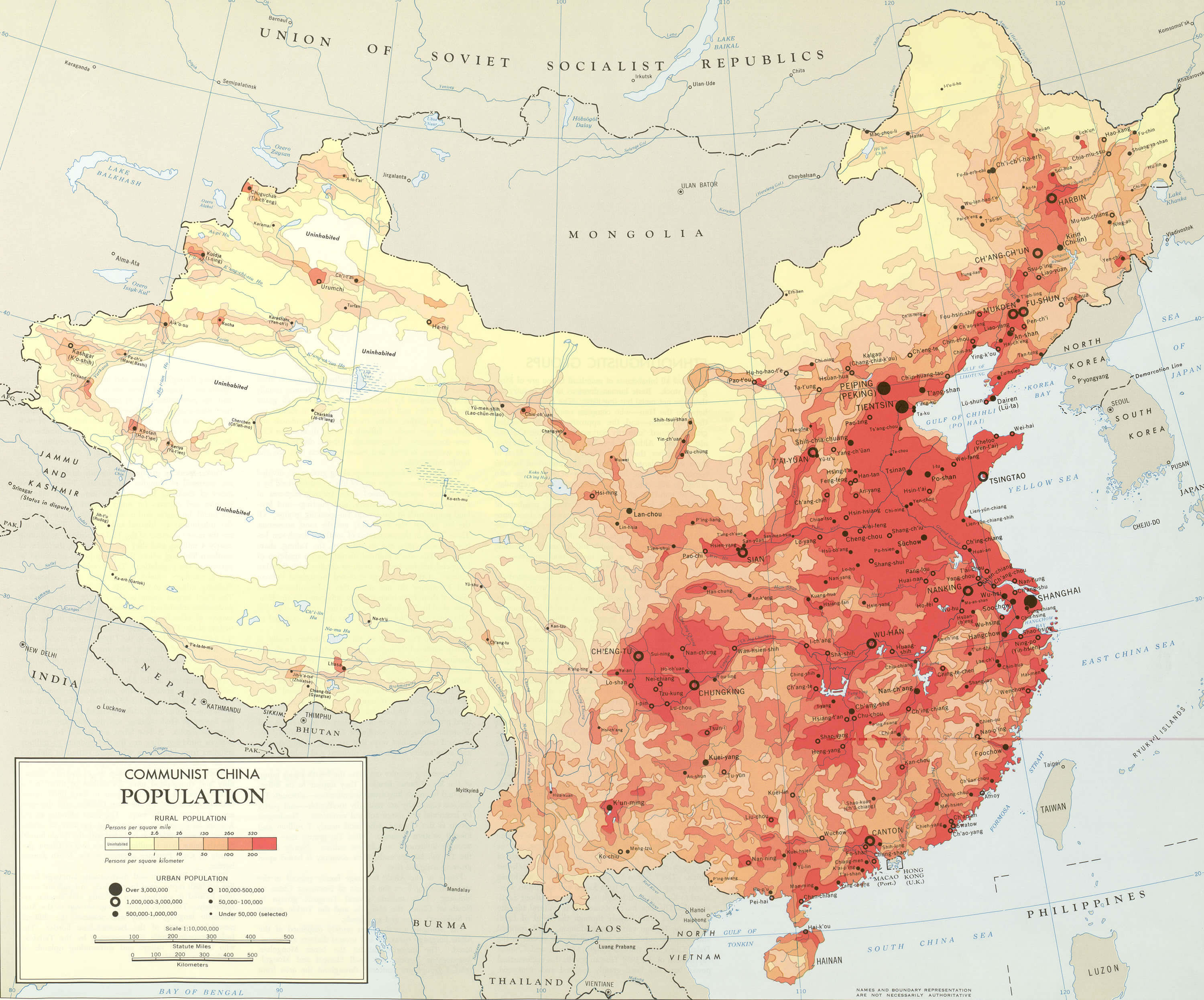
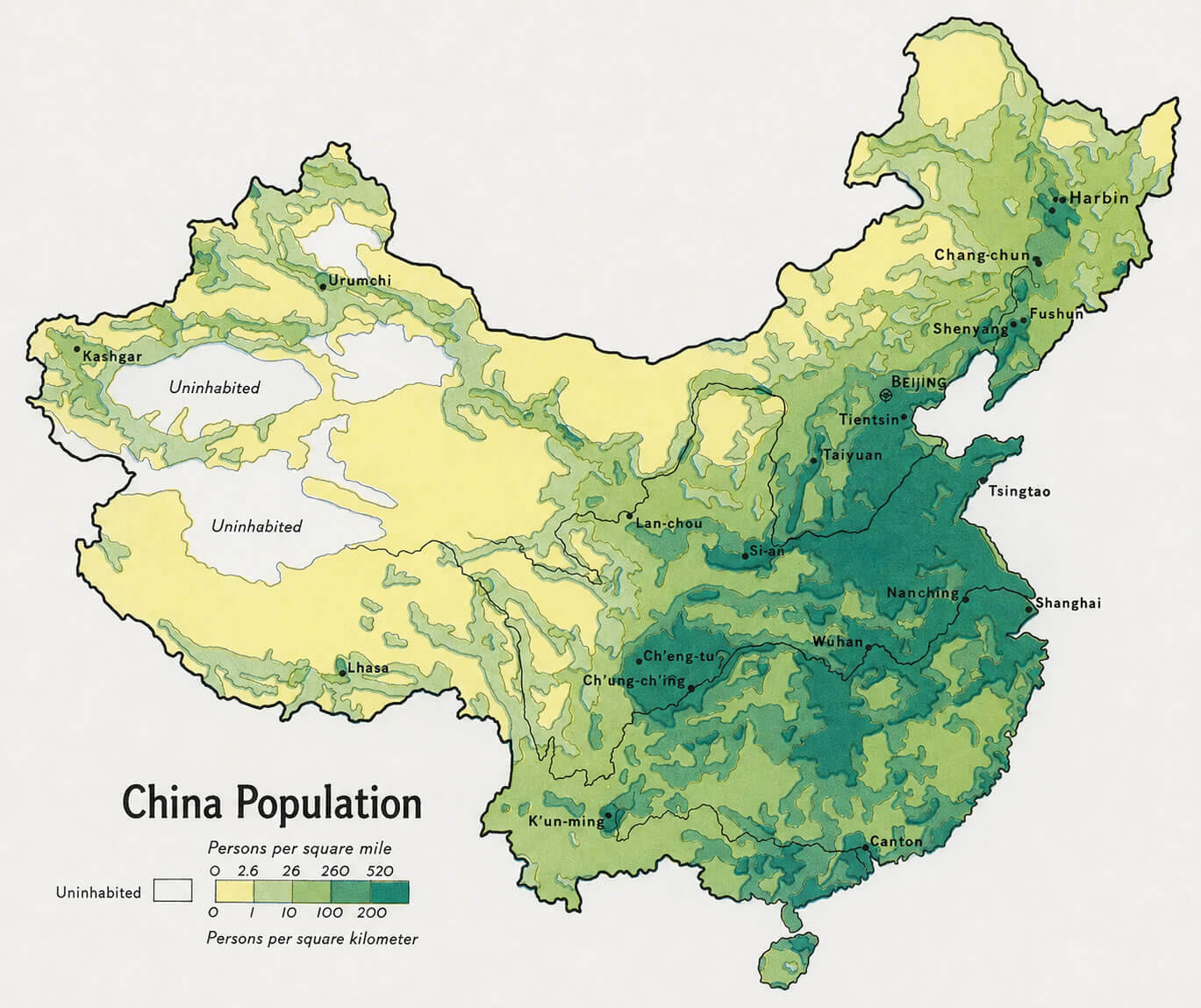
China population map
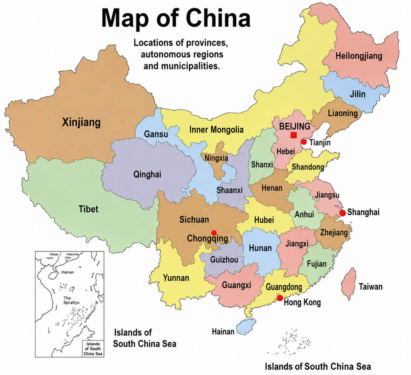
Map of China
Feel free to explore these pages as well:
- China at a Glance: Facts, Geography, Cities, History, Economy & Culture
- China Map
- Map of China
- China Cities Map
- Where is China on the Map
- China Physical Map
- China Political Map
- China Regions Map
- China Time Zone Map
Largest Cities' Map of China
Shanghai Map Beijing Map Guangzhou Map Tianjin Map Wuhan Map Shenzhen Map Chongqing Map Shenyang Map Chengdu Map Foshan Map Xi'an Map Dongguan Map Nanjing Map Harbin Map Changchun Map Chongging Map Dalian Map Handan Map Hangzhou Map Jinan Map Qingdao Map- Head of Performance Marketing
- Head of SEO
- Linkedin Profile: linkedin.com/in/arifcagrici