Europe Maps Collection: Political, Historical and Physical Maps
Browse a comprehensive collection of Europe maps created for students, travelers, researchers, educators, and geography enthusiasts. The archive features a wide variety of resources, including blank political maps of Europe, detailed political maps of Europe, colorful Europe countries maps, and detailed maps of European countries. Visitors can also explore specialized visuals such as Europe country boundaries maps, Europe country domain maps, and European subregions UN geoscheme maps for deeper geographic and regional analysis.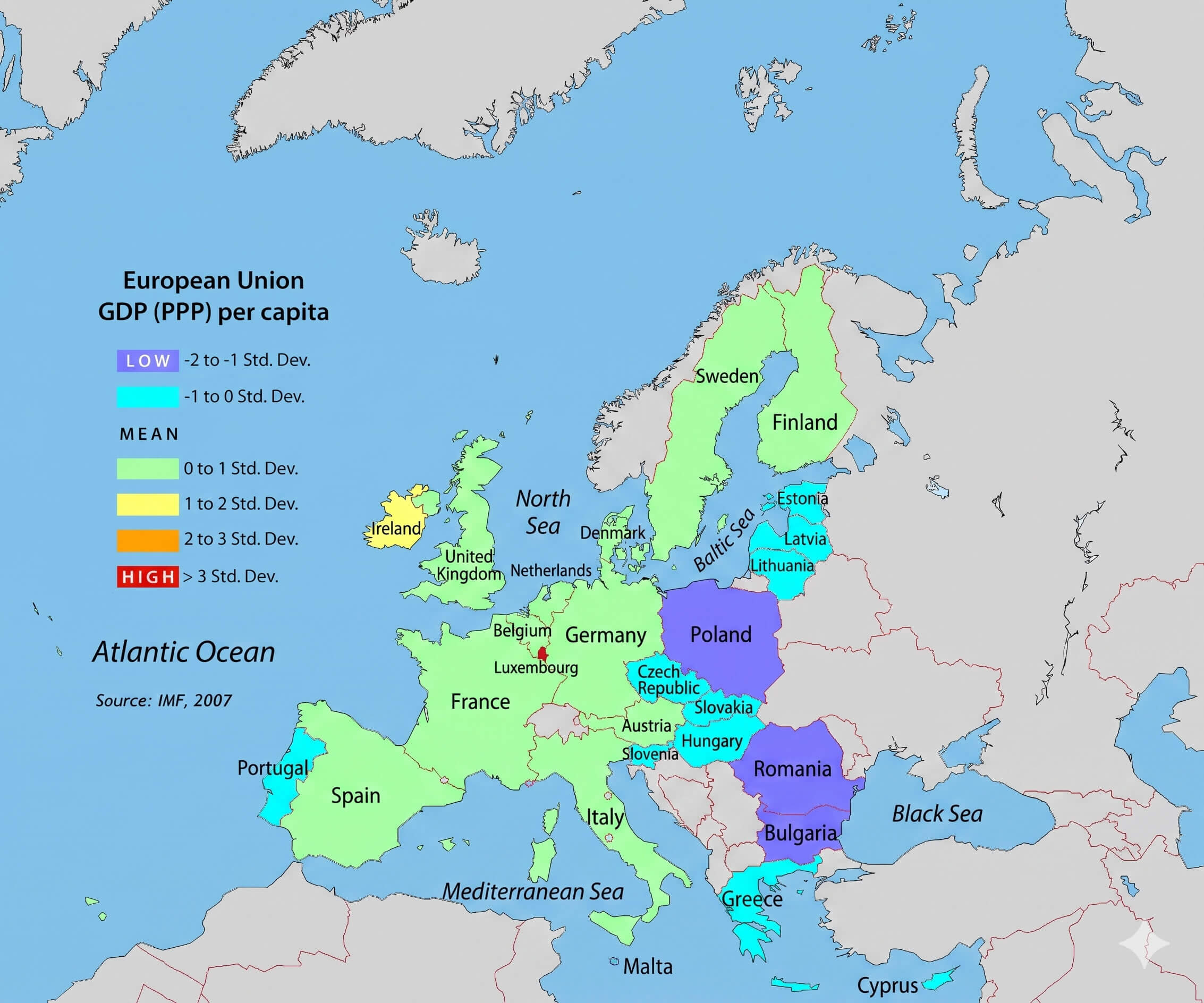
European union GDP per capita map 2007
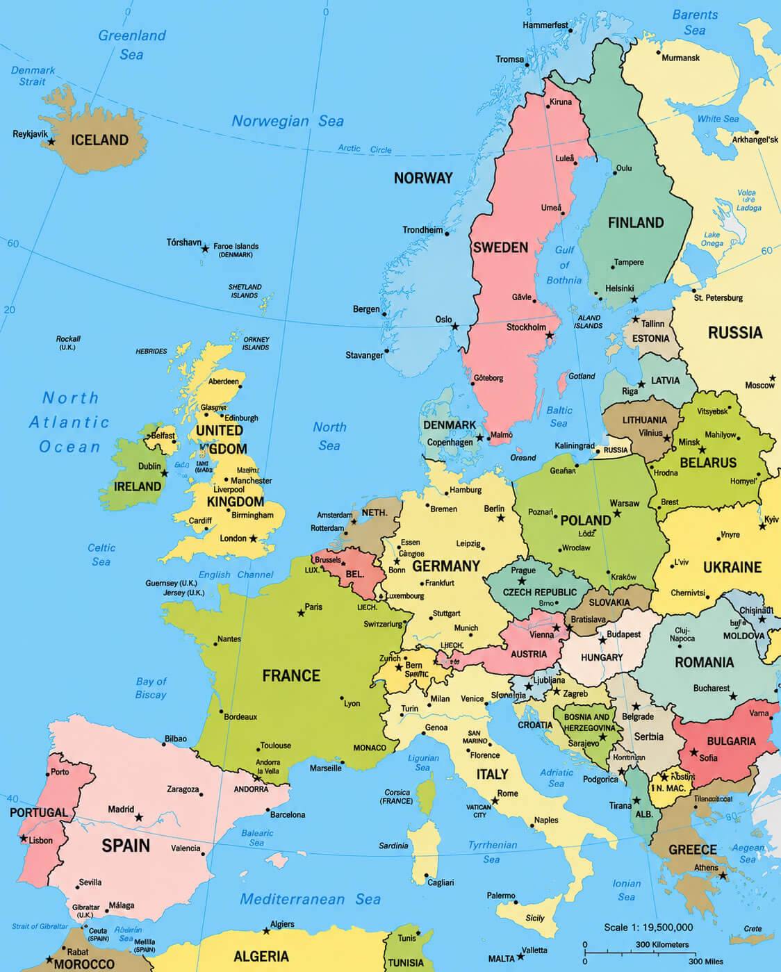
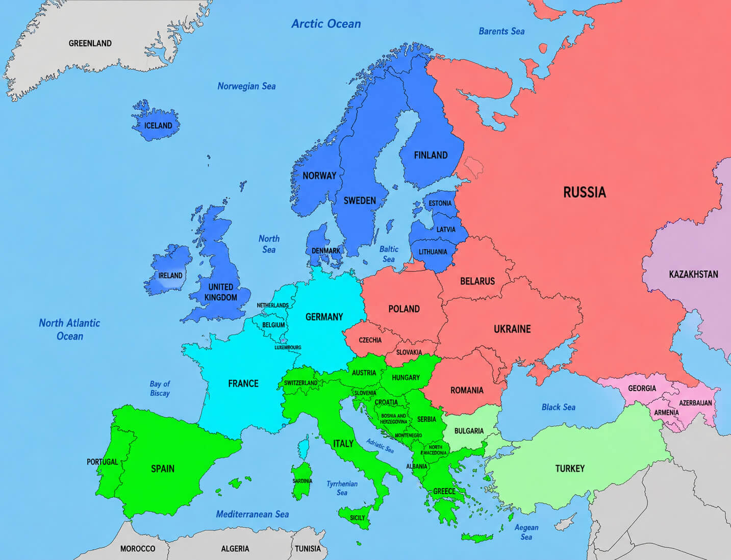
Colorful Europe countries map
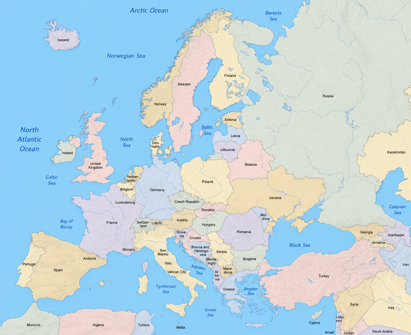
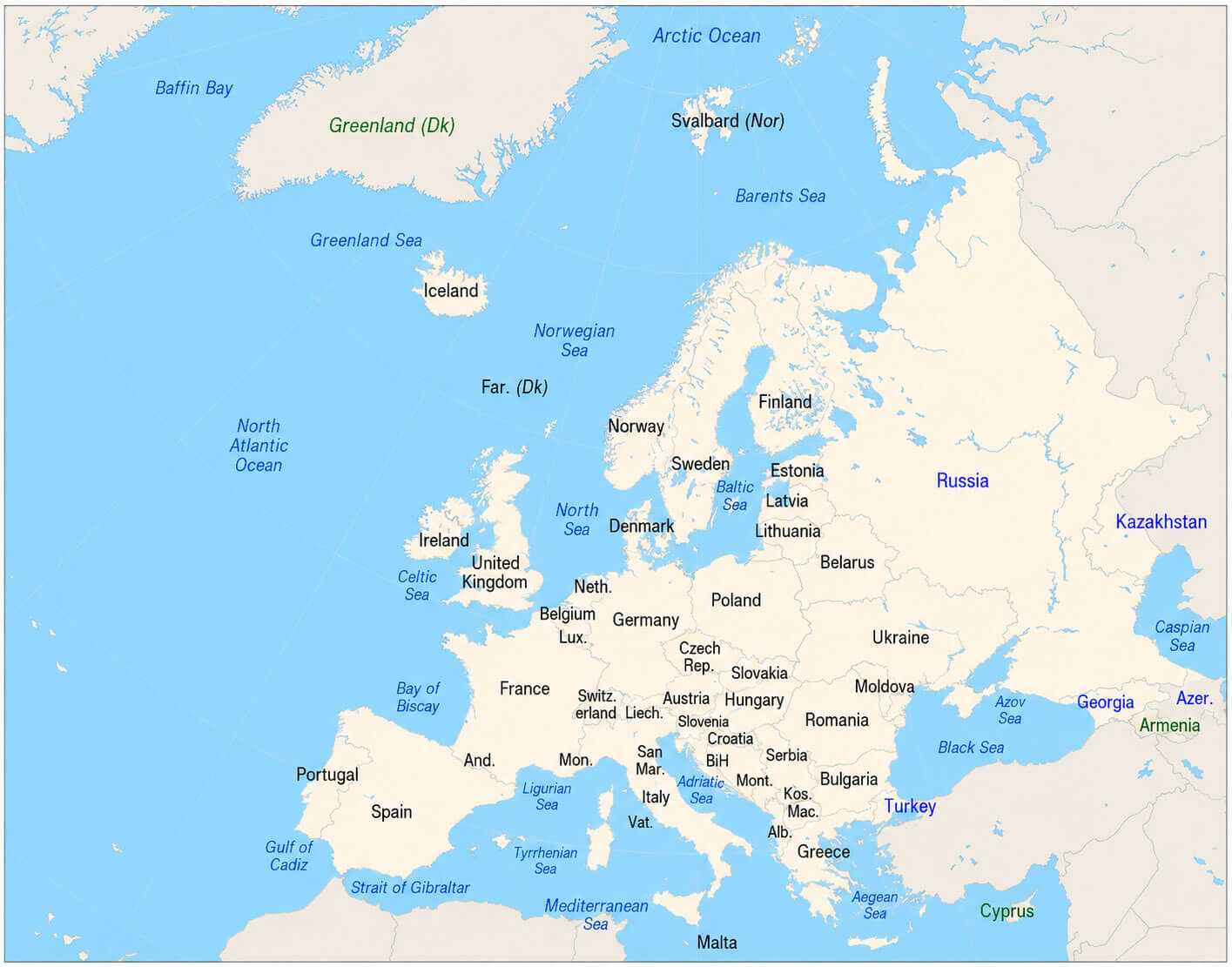
Detailed political map of Europe
These high-quality Europe maps are useful for education, academic research, presentations, travel planning, and general geographic reference. Whether you want to study European borders, understand regional divisions, or explore country-specific details, this collection offers accurate and visually clear maps covering many aspects of Europe’s political and geographic landscape.
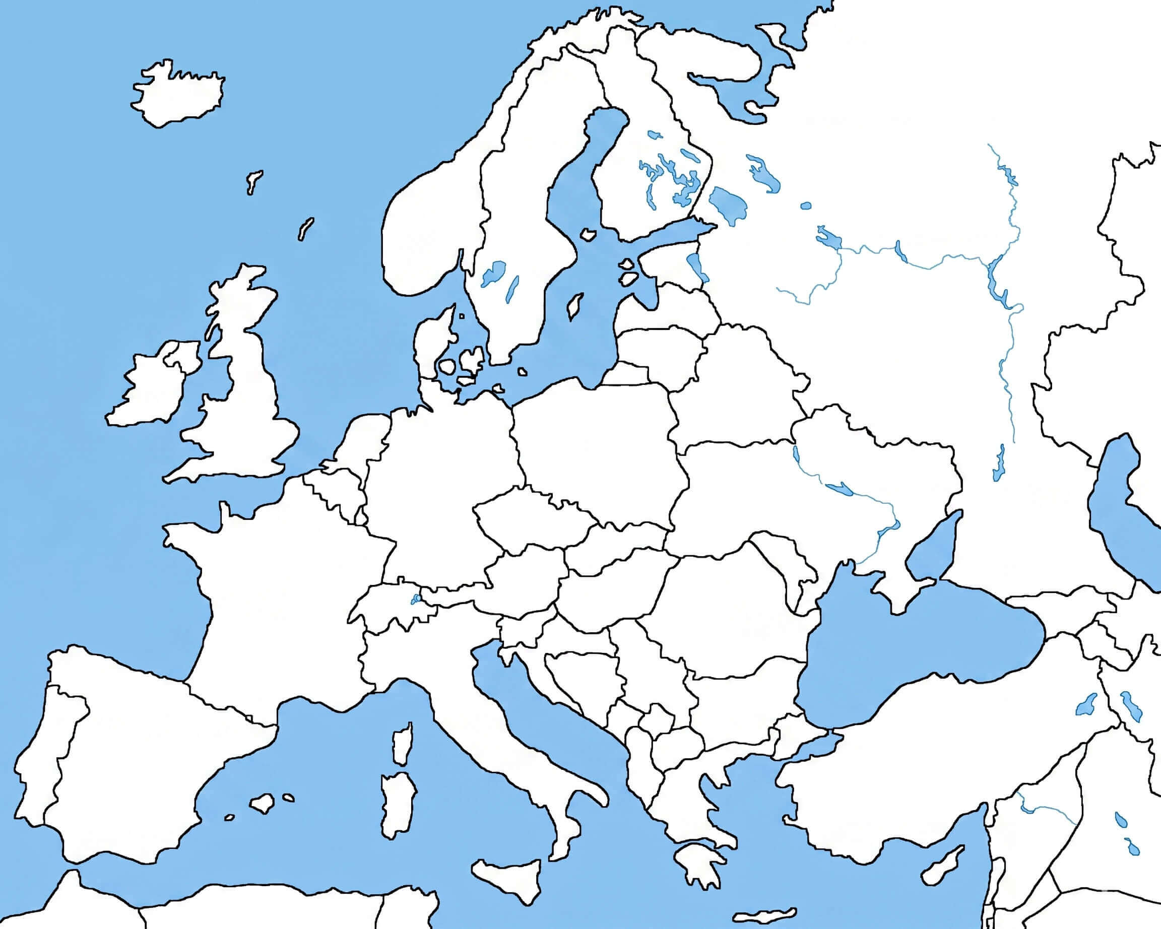
Blank political map of Europe
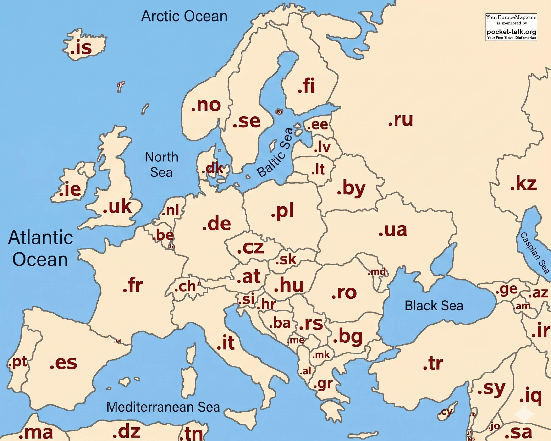
Europe country boundaries map
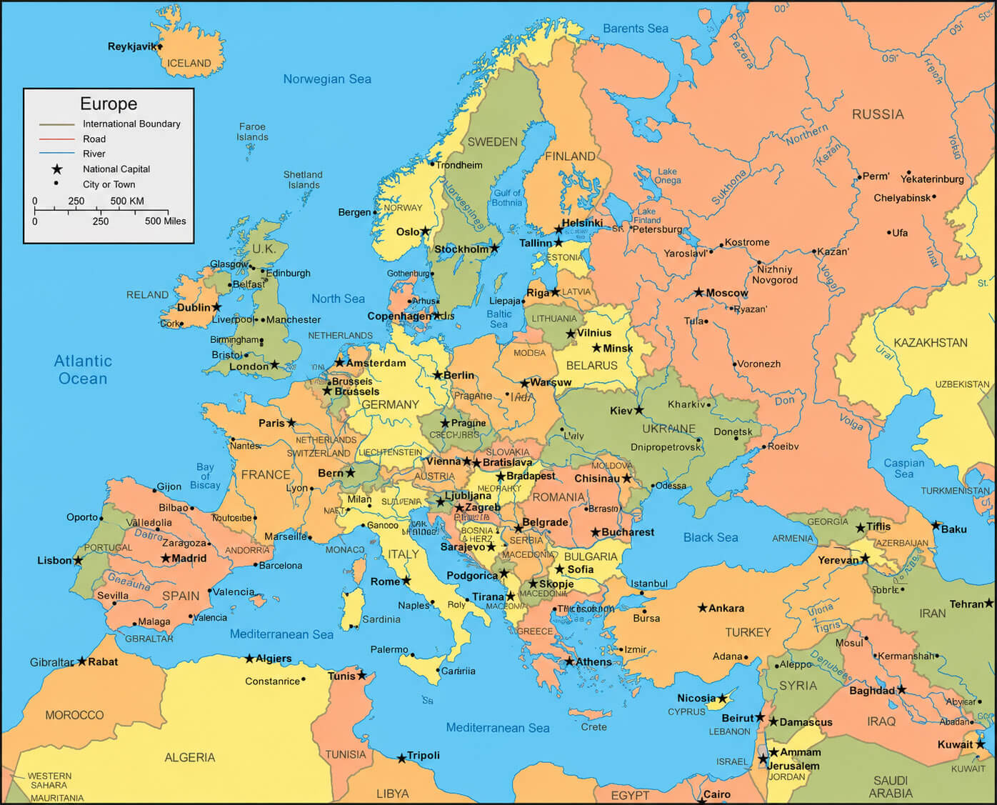
Detailed map of Europe countries
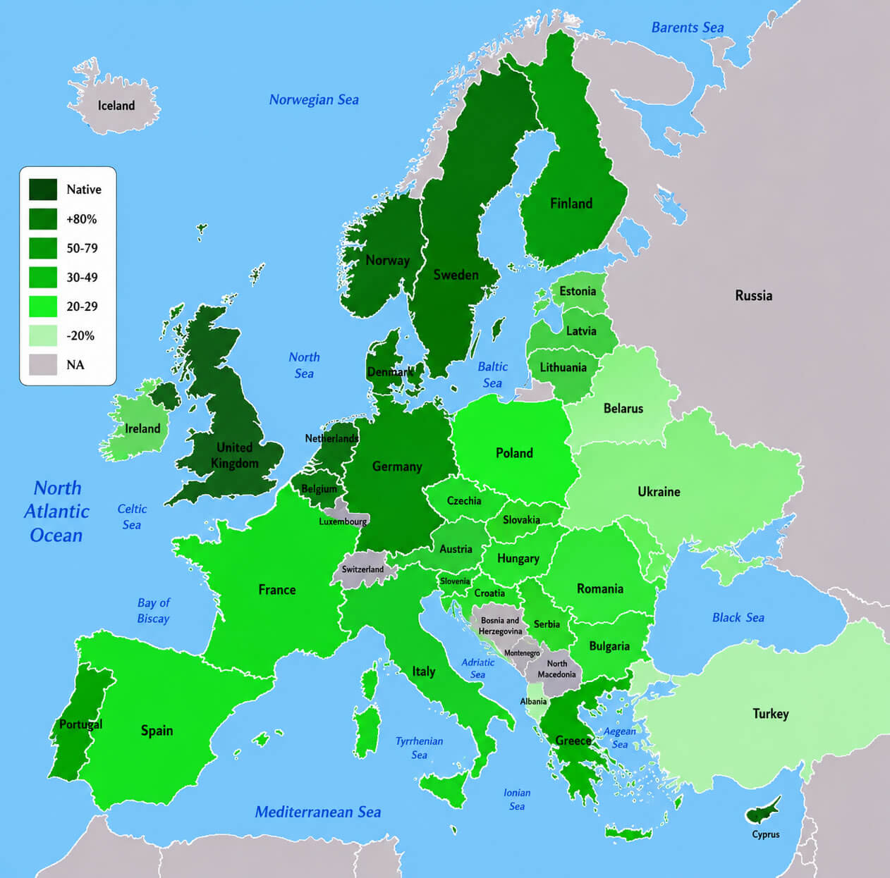
English language knowledge map Europe
In addition to political and administrative maps, this Europe maps collection also features thematic and economic visuals including the Europe economical regions map, European Union candidate countries map, European Union member states map, and European Union GDP per capita map 2007. Language-focused resources like the English language knowledge map Europe help users better understand cultural and linguistic patterns across the continent. From educational research to business studies and historical exploration, these SEO-friendly and regularly updated Europe maps offer valuable geographic insights for anyone interested in Europe’s countries, regions, economies, and political structure.
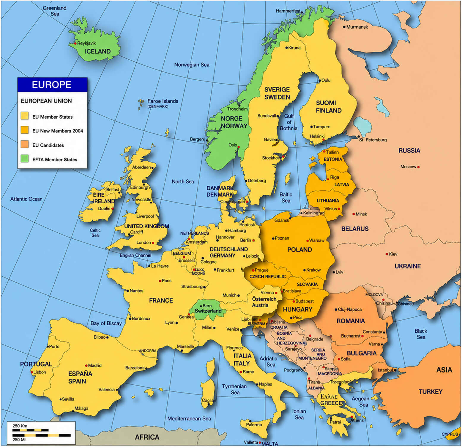
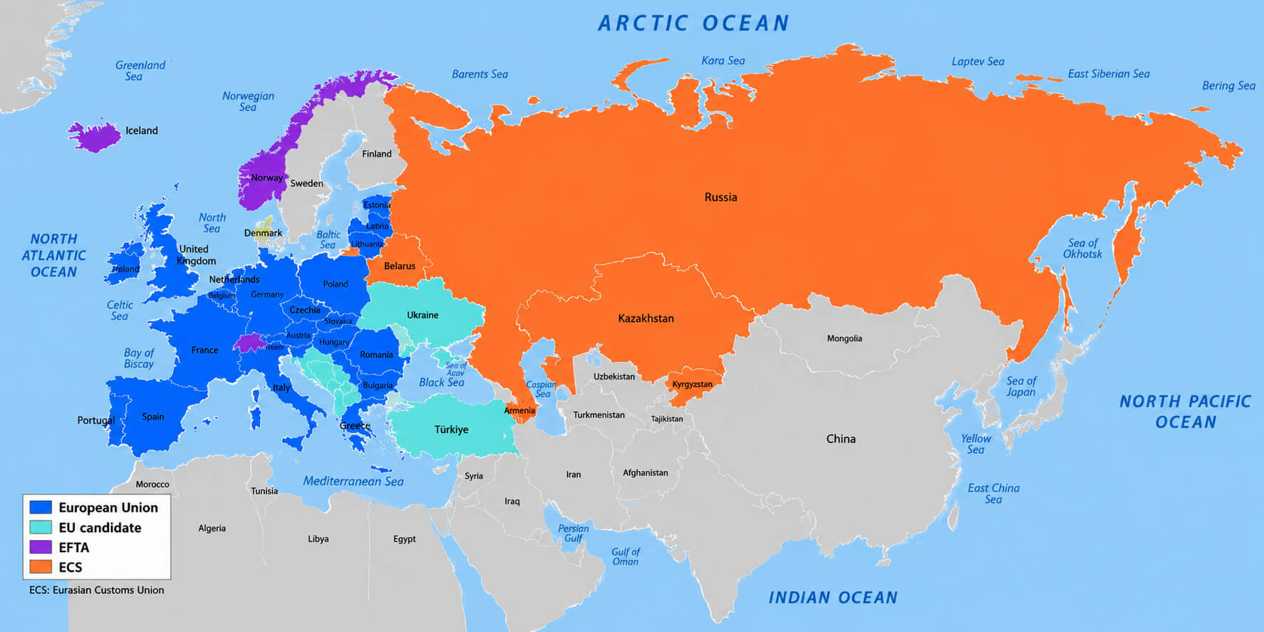
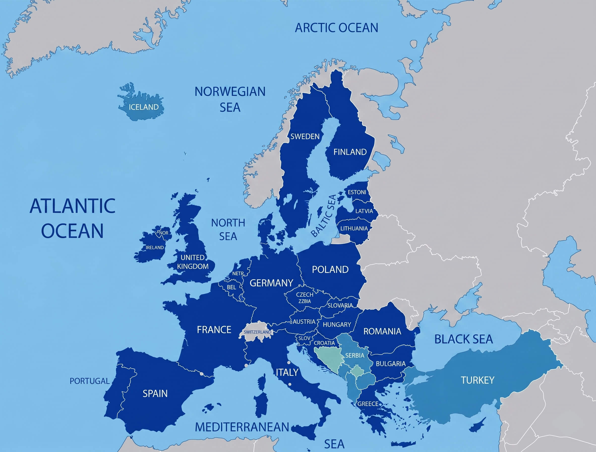
European union member states map
Europe country domain map
Europe economic regions map
European subregions un geoscheme map
European union candidate countries map
Feel free to explore these pages as well:
- Head of Performance Marketing
- Head of SEO
- Linkedin Profile: linkedin.com/in/arifcagrici