Europe and North Africa from Space: High-Resolution Satellite Map
 Satellite map of Europe and North Africa showing terrain and sea in vivid detail.
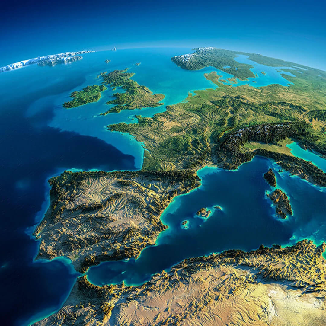
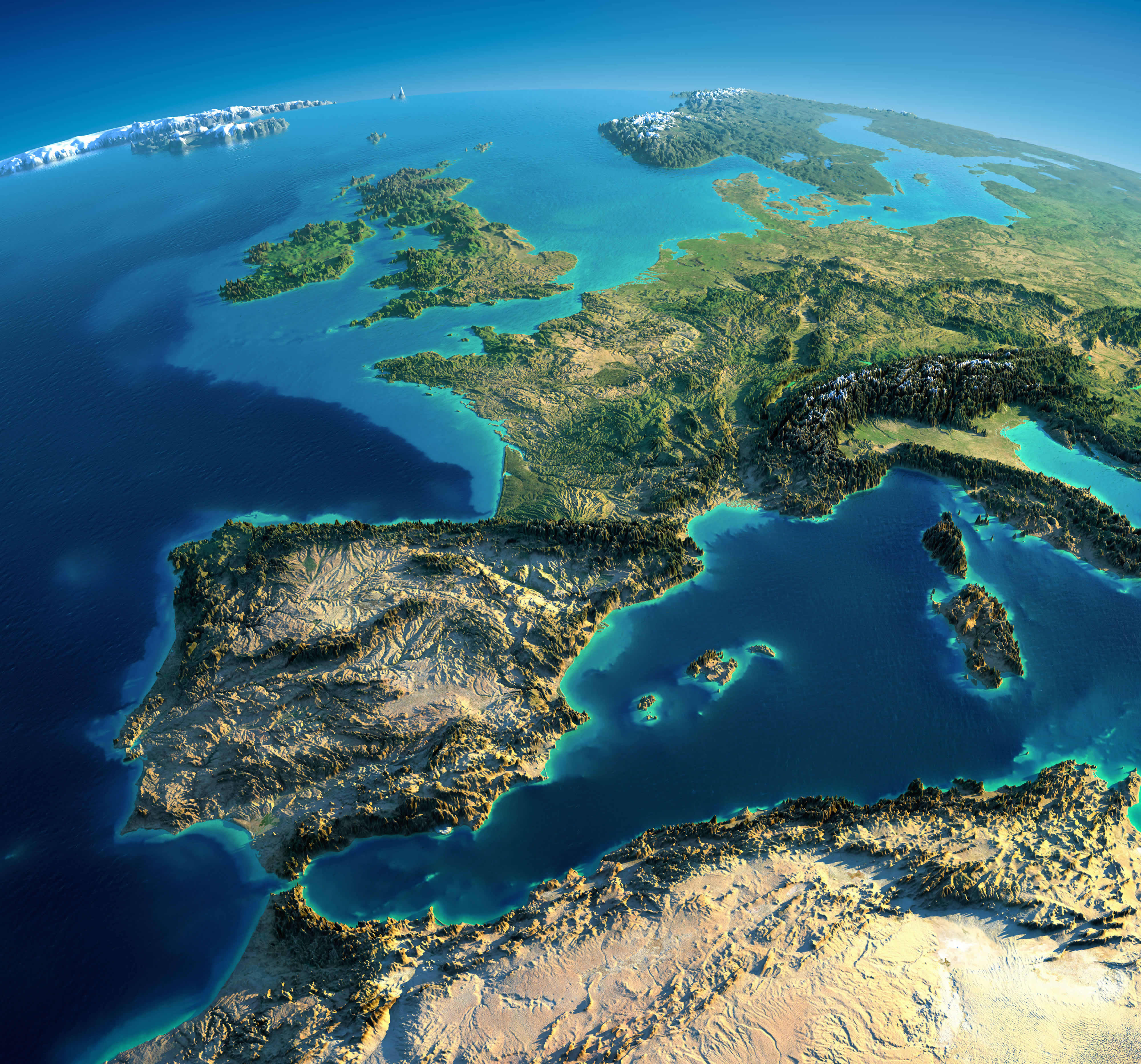
Experience Europe and North Africa in remarkable detail with this high-resolution satellite map. Witness breathtaking geographical features like the Iberian Peninsula, the majestic Alps, the sparkling Mediterranean Sea, and the rugged Atlas Mountains. Perfect for explorers and geography enthusiasts, this map offers a captivating aerial perspective of the region’s diverse landscapes, elevations, and natural wonders.
Stunning Satellite View of Italy, Greece, and the Mediterranean Sea
 Satellite map of Italy, Greece, and the Mediterranean Sea from space.
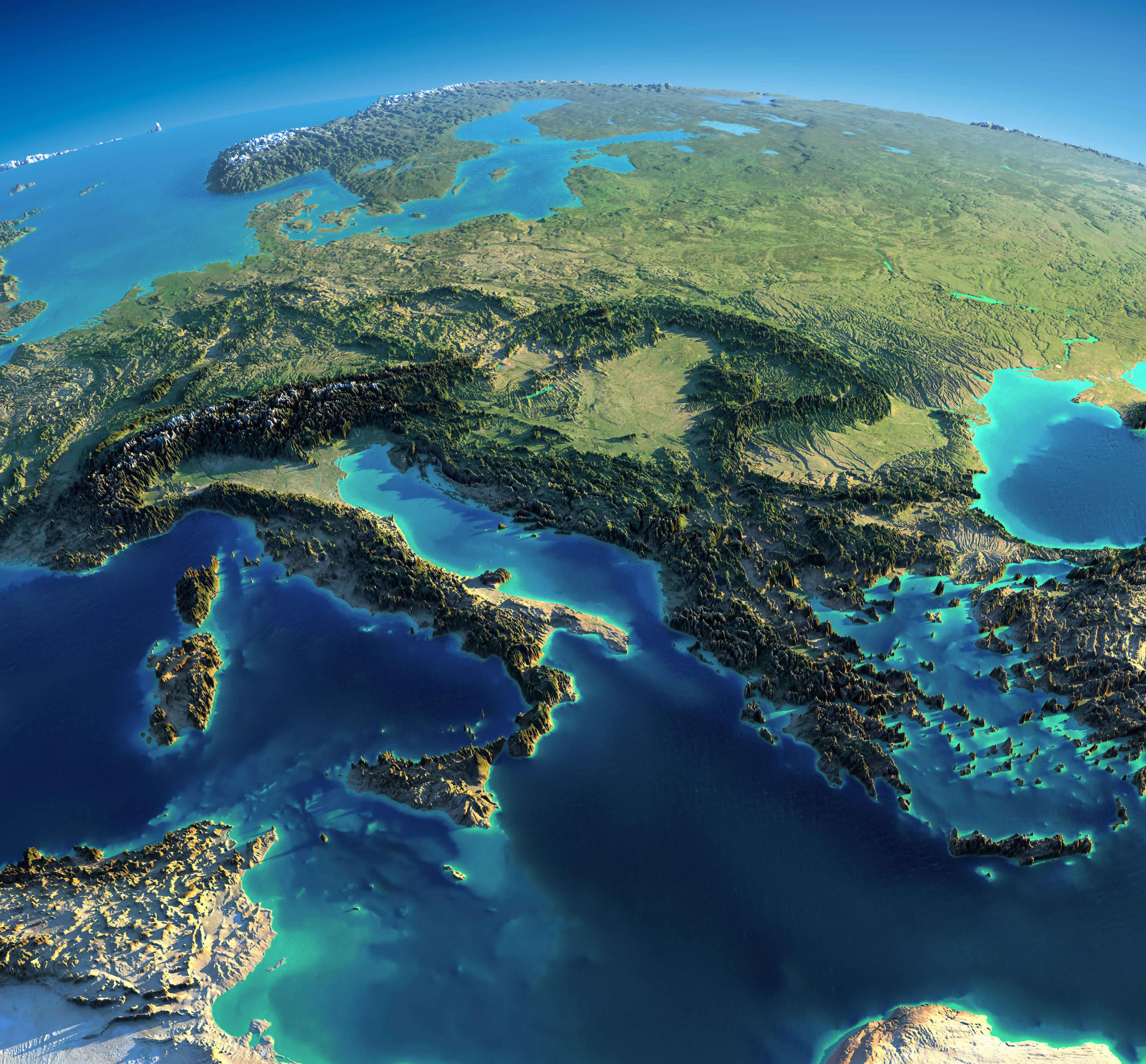
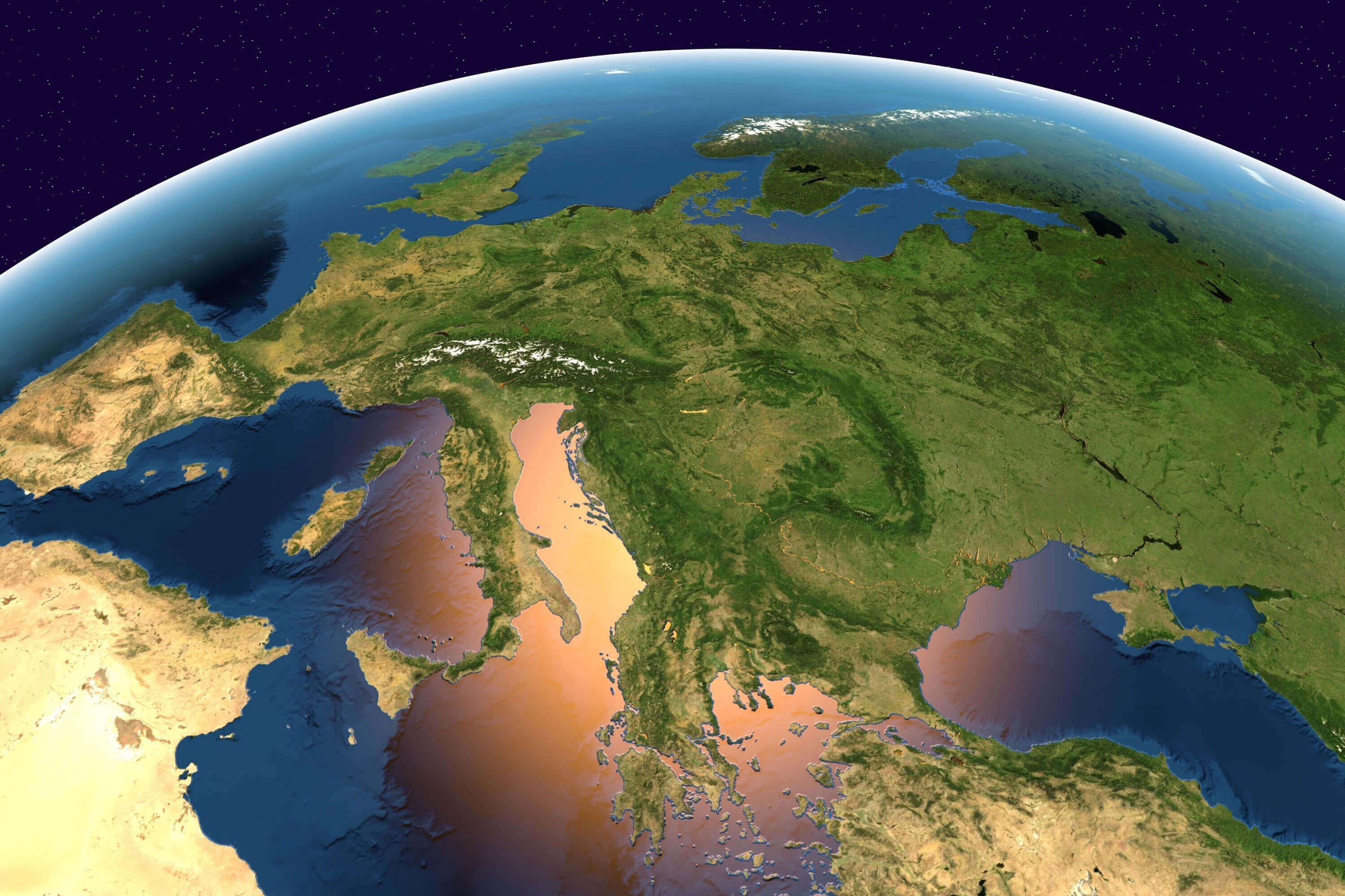
This stunning high-definition satellite view reveals Southern Europe's dramatic landscapes, capturing Italy, Greece, and the Mediterranean's azure waters in exquisite detail. Marvel at the Adriatic and Aegean Seas' intricate coastlines, mountainous terrain, and sun-drenched islands - a spectacular aerial perspective of the Mediterranean world's historic heartland. Perfect for travelers, educators, and geography enthusiasts alike.
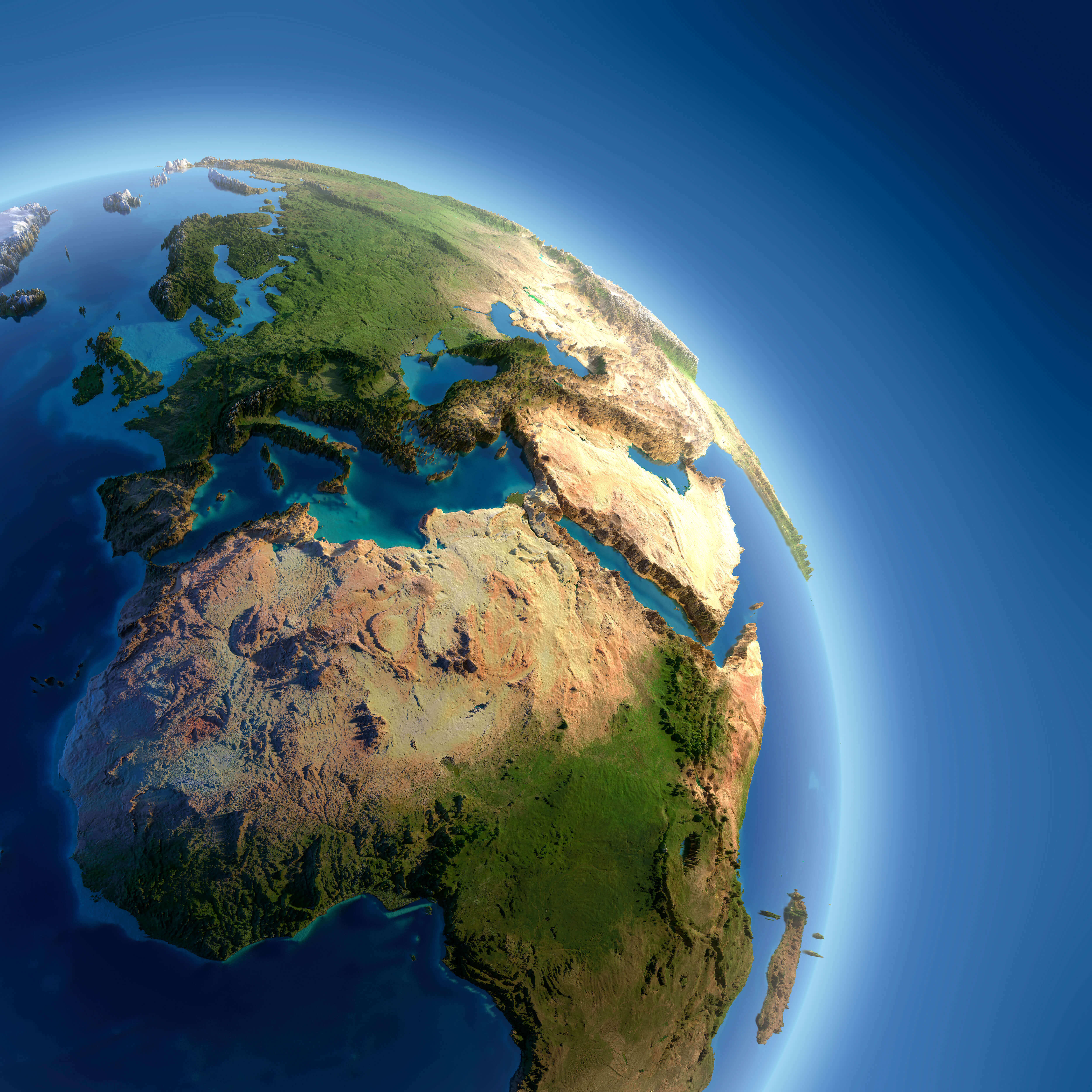
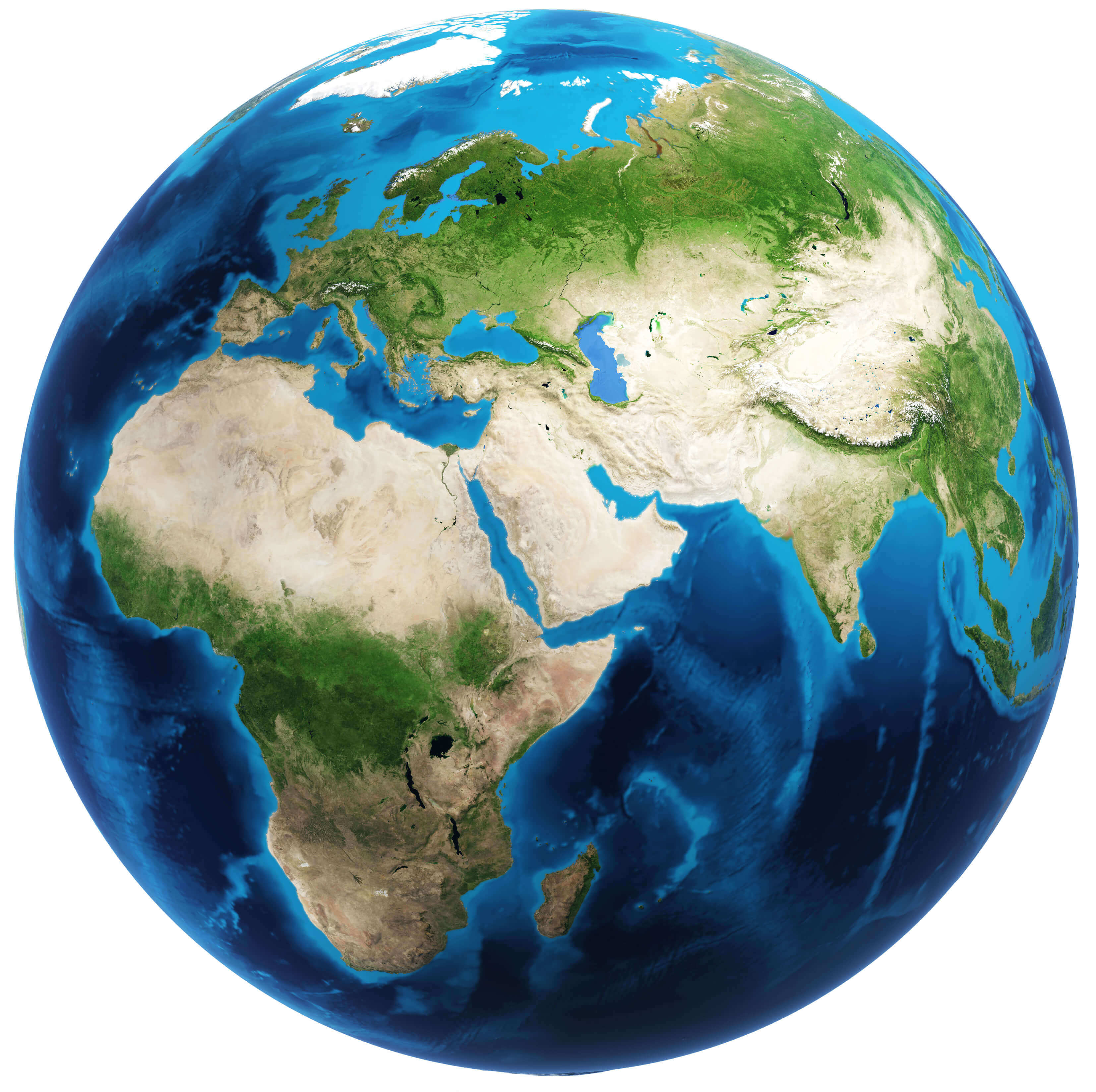
Europe and Africa satellite map
Europe and Spain satellite view map
Europe Belgium Netherlands satellite map

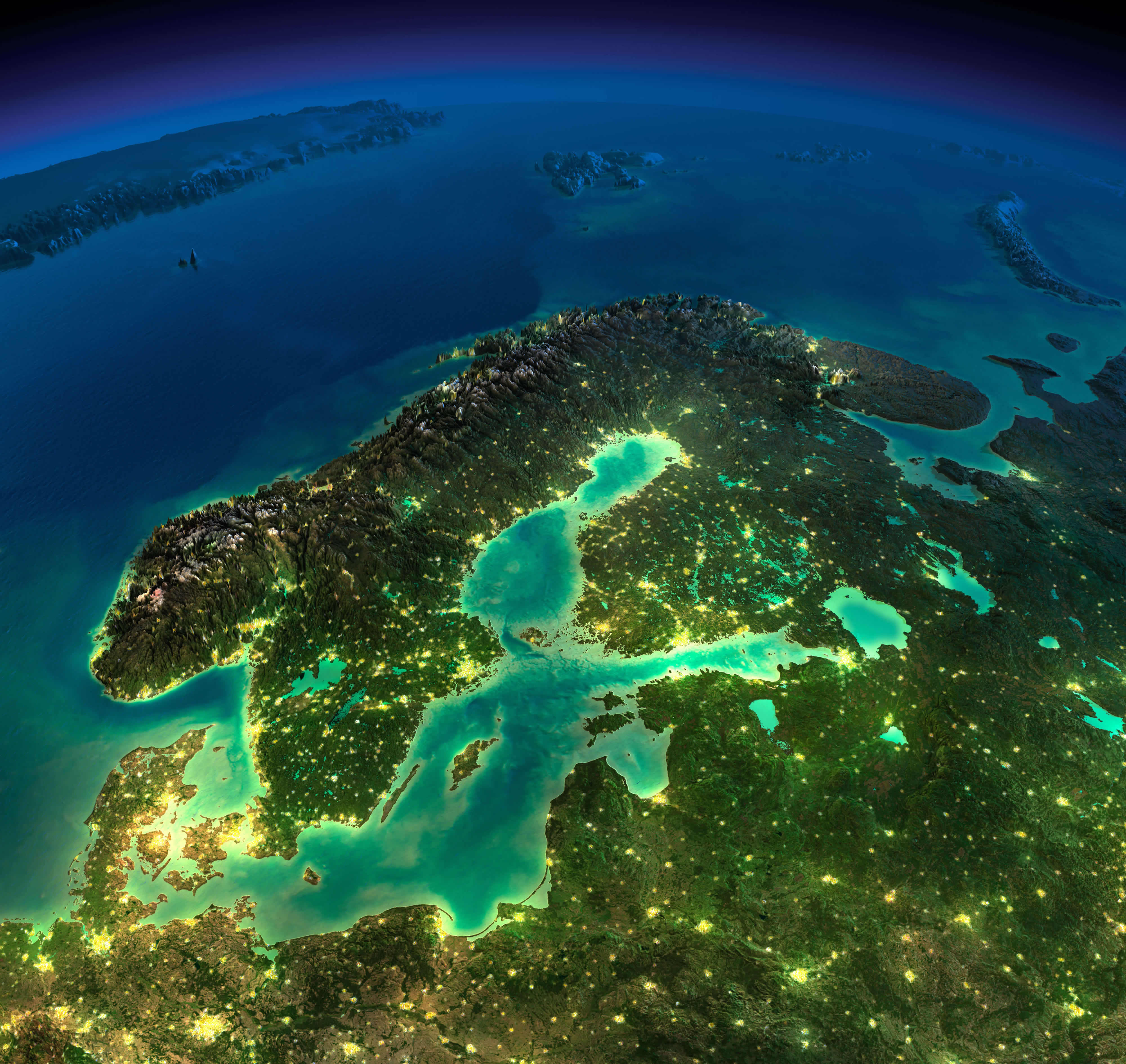
Europe denmark norway sweden Finland satellite map in the night
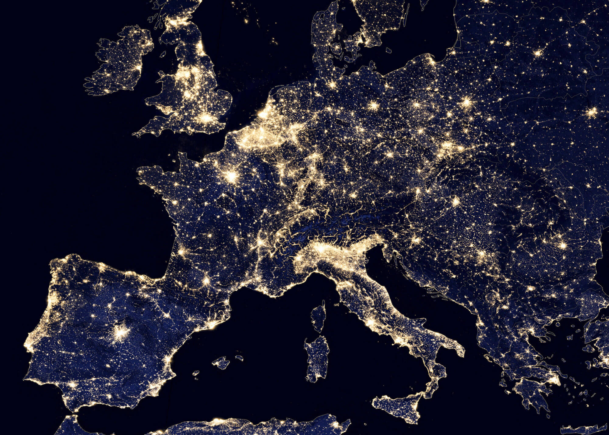
Europe France Germany satellite map in the night

Europe from Spain map

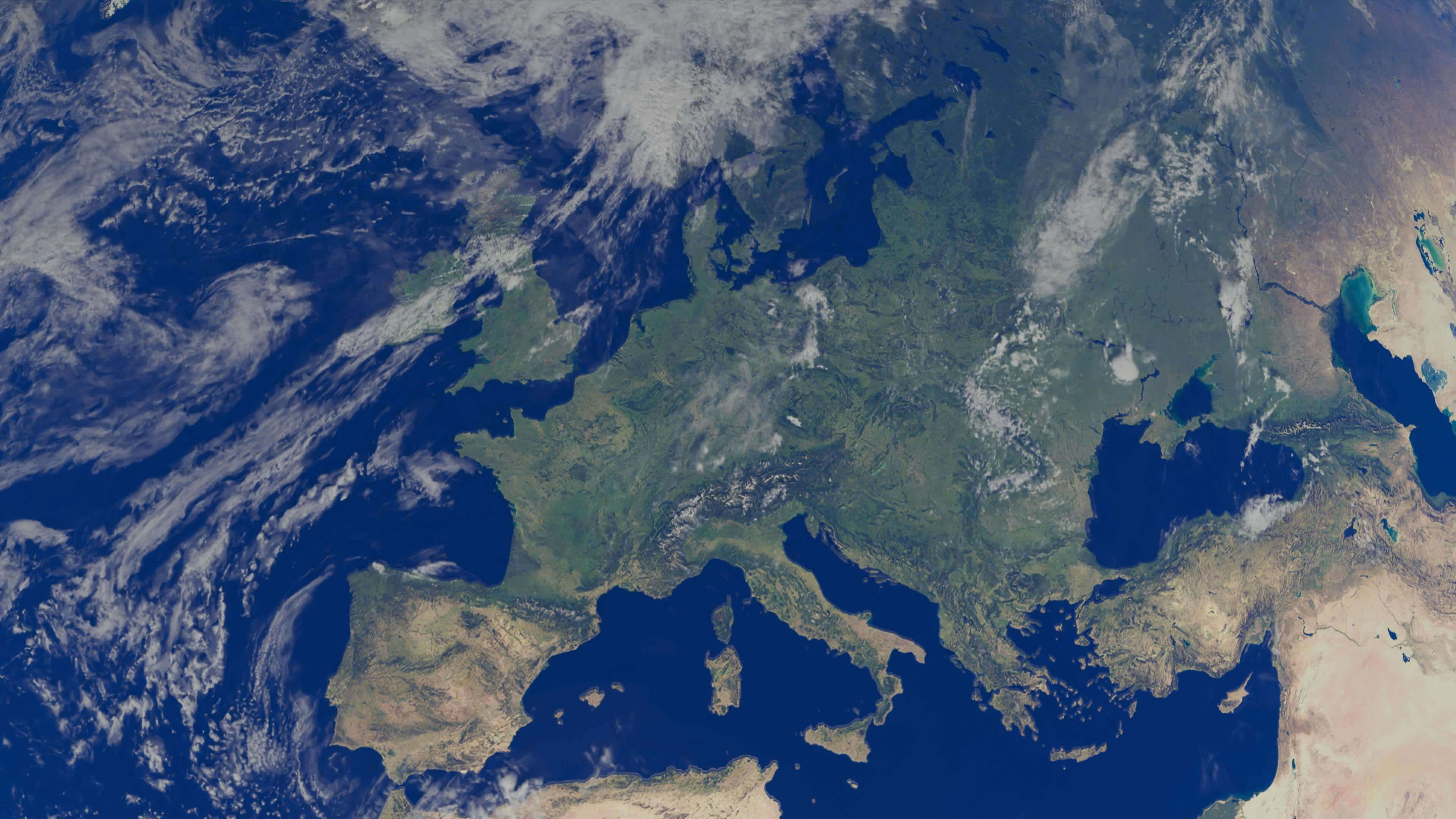
Europe imagery shaded relief map

Europe Ireland UK Sweden Norway satellite map in the night

Europe map from space in the night

Europe map in the night from space
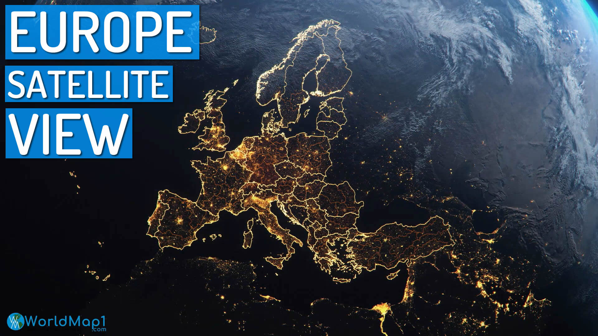
Europe satellite map at night
Europe satellite map in the night

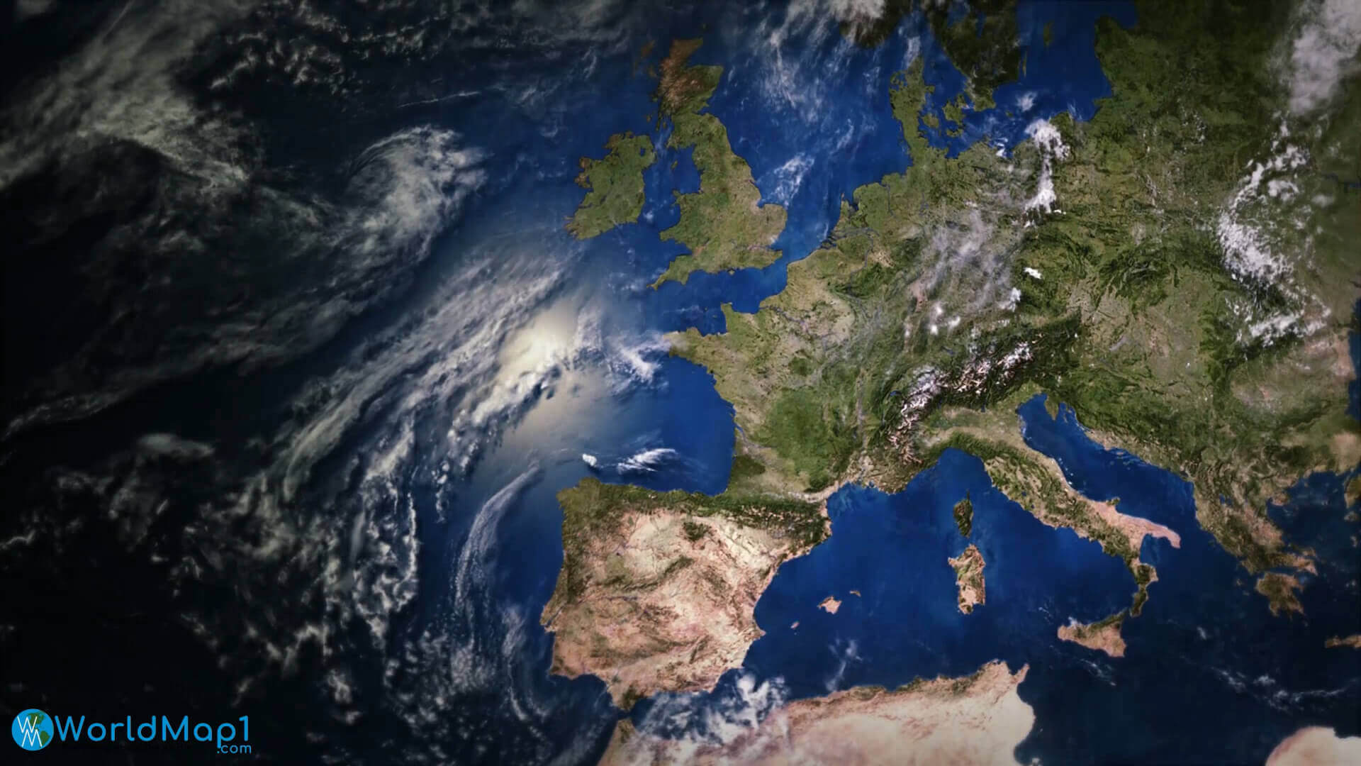
Europe satellite map

Europe satellite view from space

Europe satellite view map from space

Europe satellite view map
Europe Spain France Italy satellite image
Physical map of Europe and Asia
Satellite map of Europe
Satellite maps of Europe
